This is a hidden text, acting just like a spacer
type of text in order to
push the Entity info
down on the page. Sorry to have wasted your time/ear to listen to this, I was just trying to get a layout work like I wanted.
type of text in order to
push the Entity info
down on the page. Sorry to have wasted your time/ear to listen to this, I was just trying to get a layout work like I wanted.
This page has a total of 448 images, as of 17.04.2024 (11:36:32).
Most Recent added/changed image is on top.
Most Recent added/changed image is on top.
Media Info Last Updated:
17.04.2024 (11:36:25)
Title on Image:
Rosebud Mill with in Mound City Structures in ForegroundPhotographer [Date]:
Harry H. Buckwalter
[19.12.1893]
Description:
This is a Colored, Scaled, Cropped view of a CHS photo I years ago found at the DPL site as Call Number CHS-B335 {but at time of writing this, that number leads to nothing at the DPL site when checking Apr. 2024, still, the image used as Courtesy of the Colorado Historical Society]. This is a view of the large Rosebud Mill, looking passed the settlement known as Mound City, up the Squaw Gulch valley from the valley where the creek named Cripple Creek is running. Taken December 19, 1893 by photographer Harry H. Buckwalter the source said.
 The full image this crop is from has appeared several places, I seen it years ago at the Cripple Creek District Museum webpage as id 99-68, also no longer findable when checking in April 2024. It also appears in the 2002 book by Allan C. Lewis on page 74, whereas he has mistaken it to be the Brodie Mill. He did the same mistake on page 73 in same book, where there is a view showing the Rosebud Mill under construction, with Mound City spread out in the foreground.
 This mill, the Rosebud, was also known as the French Mill, as it was at owned by a French Syndicate, who also owned the Deerhorn mine on top of Globe Hill at one time. Mill was a very large Stamp Mill, I seen it referenced as both having 50 and 60-stamps, and it have at least grown two times as there is an earlier view in a 1895/1896 book where the upper part was there, so this is the latest version of the mill I presume before it burned down late in July 1894, never to come back again.
 I did procure the colored version of this image as I think it is nicer. Source is gray-toned, or in common speech black & white. Used an online service and tweaked and worked with image to get what looks best to my eyes for the moment.
Image Note:
Cropped, Colored view of a CHS photo, found years ago at the DPL site as Call Number CHS-B335. Courtesy of the Colorado Historical Society. I did procure the colored version of this image. When making this entry in Apr. 2024, image can no longer be found at Denver Public Library Site.Copyright Notice:
Copyright restrictions apply to use of this image. For more information or to obtain a photographic reproduction of this image, contact the Colorado Historical Society 1300 Broadway Denver, Colorado 80203.Source, Printed Items (Found/Seen in/Known):
- page 74; Florence & Cripple Creek Railroad - Forty Miles to Fortune Book by Allan C. Lewis - Published in 2002.
Source ID, My Collection:
I-00284Type/Category [Media ID]:
Photograph/Image [#548]
Shareable Link to Pic Info:
www.cripplecreekrailroads.com/01main/all_known_entities/pics_list-evry1_sort-newtop.php#548Used for these Enties:
Rosebud Mill [aka the French Mill] - 401 Media Info Last Updated:
08.04.2024 (15:07:42)
Title on Image:
Bolivia Mine (Line Drawing)Photographer [Date]:
UnknownDescription:
This is not a photo per say, more like a line drawing of people posing in front of the shaft house of the Bolivia Mine.Image Note:
Image is from an article on page 20 in the Morning Times newspaper edition of January 1st, 1898.Source, Printed Items (Found/Seen in/Known):
- Page 20; Morning Times [Cripple Creek newspaper] - Published in 1898.
Source ID, My Collection:
Type/Category [Media ID]:
Photograph/Image [#1]
Shareable Link to Pic Info:
www.cripplecreekrailroads.com/01main/all_known_entities/pics_list-evry1_sort-newtop.php#1Used for these Enties:
Bolivia [aka Bolivar Mine] - 14 Media Info Last Updated:
08.04.2024 (14:21:20)
Title on Image:
12:30 at the Victor, Feb 16, 93, Cripple Creek, Colo.Photographer [Date]:
William J. Gillen
[16.02.1893]
Description:
This is a Colored, Scaled, Cropped view of a DPL photo {Call Number X-62589, Courtesy of the Denver Public Library Special Collections] of miners posing outside the office of the Victor Mine on Bull Hill. Titled to possible be the 12:30 Shift at the mine, posing outside in the snow as this was taken February 16, 1893 by photographer William J. Gillen. The area is also known as Bull Cliff, which would been somewhere at the left, unsure how much the photographer would have turned to be able to capture the 'cliff face' though. In background right are seen part of the Pike's Peak range of mountain terrain.
 I did procure the colored version of this image, as I think it makes a nicer/better view. Source is gray-toned, or in common speech black & white. Used an online service and tweaked and worked with image to get what looks best to my eyes for the moment.
Image Note:
Colored, Scaled, Cropped view of a DPL photo; Call Number X-62589, Courtesy of the Denver Public Library Special Collections. I did procure the colored version of this image.Copyright Notice:
Copyright restrictions applying to use or reproduction of this image available from the Western History and Genealogy Dept., Denver Public Library, at photosales@denverlibrary.org.Source, Internet (Found/Seen/Known):
- Denver Public Library: ⊞ Call Number: X-62589
Source ID, My Collection:
P-01853Type/Category [Media ID]:
Photograph/Image [#547]
Shareable Link to Pic Info:
www.cripplecreekrailroads.com/01main/all_known_entities/pics_list-evry1_sort-newtop.php#547Used for these Enties:
Victor Mine - 224 Victor Lode [Bull Cliff] - 3054 Media Info Last Updated:
07.04.2024 (13:41:33)
Title on Image:
Victor, Colo. View Across Hills Southeast of the Town, Passed the Great Central Mining & Milling Company's Maggie MinePhotographer [Date]:
Schedin & LehmanDescription:
This overview of Victor as seen from somewhere in South-East has been credited to several photographs, Schedin & Lehman is written on an Image seen at DPL, where also Julia Skolas has her name, but as this view is from after the 1899 fire which took out much of Victor, but before the head-frame of the Gold Coin was covered sometime in 1900/1901 timeframe, I can't see how she can have actually have taken this photo, so I think she bought it and the rights to it – and possible others – from the Schedin & Lehman company after she arrived at the District. The usefulness of this image is really on the DPL view, as most of the mines are deep into the image and some of them are really not much to actually see anything other than knowing they are in this view in order to help place them in a mental map of the District/area.
 * In the foreground left is the mine I've seen a close-up off from the other side, where it then was marked as "Great Central Mining & Milling Co.", and from other sources I have it linked as being named/known as the Maggie Mine.
 * About middle bottom/top along the right-hand side is the top part of the Shaft-house of the Strong Mine, with the Victor High-School in front of it.
 * About 2/5 down from top and about center left/right is the large smokestack of the Gold Coin mine, with the Head-frame at right of the smokestack – best seen on the DPL large image. This helps date the image except I don't know the date the head-frame was enclosed in the brick structure most common known as the Gold Coin mine.
 * Above the smokestack of the Gold Coin, high up on Squaw Mtn. is a dump area seen, there is a small Shaft-house there, again I refer to the DPL as best view, that is the Nellie V. mine.
 * About 1/4 in from right-hand side, and about 1/3 down from top, is the large Ajax Mine complex seen, with the big dump out over the hillside of Battle Mountain. Looking at the DPL view one can actually see they are extending the Ore-house towards right in this view.
 * Just right of the Ajax is the upper shaft of the Dead Pine, located along the Golden Circle, they did as the Portland Mine did, they have a tunnel over the tracks of the Golden Circle narrow gauge line, except here it is made of wood, not steel as on the Portland property. Can't say it is on the view, I know it is there, seen as a dark spot between Ajax and Dead Pine, but it is too far away to be of any use at all.
 * Further to the right, just left of the massive Portland dumps, where the hill curves, there lays the Granite Mine, seen with its Shaft-house and power house, smokestack and all, albeit at a to large distance to be of any good use for a model work, it helps in determining where in the area it was located.
 * The Dillon Mine has actually two shafts seen in this view, again it is the DPL view that is really of any use to such image research, a slight distance left of the shaft-house of the Strong mine on the right-hand side, there is a small Head-frame and small hoist house seen on the hillside with a dump – that is located on the Dillon claim. Further up the hill, more hidden away due to distance and such, is the more commonly associated boxy type of Shaft-house of the Dillon seen where it lays just below the mainline of the M.T. climbing the hills towards the Portland mine area outside the view at right. Seen best on the DPL view at a 100% look, or try the 200% and go near right-hand corner, the only shaft-house in this area with lettering on the side of the structure.
 * Again, the DPL is of help to locate the Ore-house of the Mary Cashen Mine, as it is poking up among the roofs of Victor structures, about halfway between the Strong and the Gold Coin mines.
 * Also, on the DPL Image the Fortuna Mine is seen quite well in the 100% view, just where the word 'Skolas' is written about 2/5 up from bottom and about 1/3 in from right-hand side. Showing a small Head-Frame west of the Hoist & Power House, with what might have been the loo west of the head-frame or possible a shed for dynamite?
Image Note:
My Collection; From page 17 in the 1904 Annual Edition of the Colorado State Journal.Source, Printed Items (Found/Seen in/Known):
- Page 17; Colorado State Journal; 1904 Annual Edition - Published in 1904.
- Page 76; Program of Trans-Mississippi Commercial Congress - Cripple Creek, Colorado, July 16, 17, 18, 19, 1901 - Published in 1901.
Source, Internet (Found/Seen/Known):
- Denver Public Library: ⊞ Call Number: CHS.X7925
- My Website; Album Page View: ⊞ Books; Trans-Mississippi Commercial Congress 1901 [Pic 79]
Source ID, My Collection:
I-01131Type/Category [Media ID]:
Photograph/Image [#174]
Shareable Link to Pic Info:
www.cripplecreekrailroads.com/01main/all_known_entities/pics_list-evry1_sort-newtop.php#174Used for these Enties:
Maggie Mine - 893 Strong - 271 Gold Coin - 288 Nellie V. - 277 Ajax - 275 Dead Pine - North Incline Shaft [Battle Mtn] - 414 Granite - 261 Dillon [aka W.C. Dillon] - 268 Mary Cashen - 272 Fortuna - 292 Media Info Last Updated:
07.04.2024 (13:41:10)
Title on Image:
THE GOLCONDA MINE—from the South. Showing Squaw Mountain. | The Golconda Property Showing Squaw Mt. Shafts & Mines Along the Vein.Photographer [Date]:
UnknownDescription:
Sadly not a quality great view, but still a great view as it is a rare view at the Golconda Mine Shaft no.1 operation on Squaw Mountain! This view also has marked out a Shaft no. 2 and no. 3 and I think one of those might also be the Discovery Shaft on the Golconda lode claim. Sometime after 1896 the main working shaft moved away from the structure in this view here, to further up the hill, don't know why. Victor town is located outside the view at right, the view shows all three railroad spurs that was on Squaw Mountain, with the mainline of the F. & C. C. making up the lower one just beyond the ridgeline of the roof for the Golconda structure in left foreground. About 2/3 up from bottom is the Victor branch from the M. T. mainline seen a little bit further up the hill, where a string of boxcars marks a siding along the east slope of Squaw Mtn near upper right.
 I did procure the colored version of this image as I think it is nicer. Source is gray-toned, or in common speech black & white. Used an online service and tweaked and worked with image to get what looks best to my eyes for the moment.
Image Note:
My Collection; Cropped from 300dpi scan of page 86 in a book named Wonderful Cripple Creek District by J. F. Manning. I did procure the colored version of this image.Source, Printed Items (Found/Seen in/Known):
- Page 86; Wonderful Cripple Creek District: A Historical, Descriptive, Pictorial and Biographical Work on the Resources of the Greatest Gold Camp on Earth. (J. F. Manning ©1896) - Published in 1896.
Source ID, My Collection:
I-02129Type/Category [Media ID]:
Photograph/Image [#499]
Shareable Link to Pic Info:
www.cripplecreekrailroads.com/01main/all_known_entities/pics_list-evry1_sort-newtop.php#499Used for these Enties:
Golconda - 287 April Fool lode - 823 Nellie V. - 277 Dead Pine - North Incline Shaft [Battle Mtn] - 414 Media Info Last Updated:
07.04.2024 (13:39:34)
Title on Image:
Battle Mountain Mines From SoutheastPhotographer [Date]:
UnknownDescription:
To me this view here is informative and nice. Sadly, the original image is quite faded, but I been able to work around most of that and got some details better visible. Dating this image is helped by lack of the Short Line grade into Victor from east; making this photographed from before latter half of 1901 as by November that year, some of what is seen in this image would have had to give way make room for the Short Line and new High Line grade. And being the original High Line trestle is seen near upper right on Battle Mountain, this view has been taken after December 1, 1897, as that is the date the rails and catenary was in place on the route to Victor. This gives a near 4-year span on when this image was photographed by someone unknown. Against the sky at about 1/3 in from right-hand side is an earlier edition of the later more famous large Portland No.2 Shafthouse, only dumps are seen up there so the large orehouse often seen in images are yet to come, as those seems linked to the still to come Short Line branchline, also a late 1901 happening.
 Further downhill the quite familiar shafthouse of the Portland No.1 Burns Shaft is seen, with 5-smokestacks, long orehouse, and various larger structures linked to that mine. Looking at high-resolution scans I see three large round watertanks linked to the Portland mines, and I see the Scranton shafthouse on the hillside above and to the right of the Portland No.1 shafthouse.
 I also see the lower tunnel opening of the famous Golden Circle Steel Tunnel that was built to be covered by the Portland dump, an article in a journal named 'Engineering' was published September 17, 1898 talking about that tunnel and showing images that would suggest this image to be from after that time, taking us down to a 3-year span in the dating department.
 To the left of the Portland No.1 dumps on the high-resolution scans I can pick out the upper Granite Mine structures, but at my 2400dpi scan I still can't say for sure if I see structures along a long dump on the hillside above the Granite, structures that if I read my maps, like the 1903ish topographic USGS one, is mostly on the Lowell lode claim, there seems to be some structures but to far away to tell for sure.
 The Ajax mine is seen against the sky near upper left side of the image, with the north, or upper, shafthouse structures of the Dead Pine mine operations to the right of the Ajax, with what appears to be a string of boxcars parked on the 3-foot Golden Circle railroad just to the right of those structures.
 Further downhill and to the left of the easy to spot old shafhouse of the Strong Mine a smaller headframe with hoisthouse to the right of it is seen, I often wonder about it, and this might be the location of the W. C. Dillon lode claim discovery shaft, but I have no good maps to tell me for certain as the only possible marking on the 1903ish topo-map is also close to the Strong lode sideline, but most likely it is just a shaft operation on the W. C. Dillon.
 Strong Mine has been mentioned, it is the older tower-like easy to spot shafthouse, with its still standing today ore-house seen in front of and somewhat to the left of the shafthouse.
 Going to the right from the Strong one passes the Stratton's Independence dump and what might still be some left-over structures of the original Discovery Shaft of the Independence lode claim, not easy to tell for certain.
 Also not easy to tell for sure, but just to the lower left of the easy to spot orehouse of the Independence mine there is a small dump and some structures on that dump that fits with the location of the Discovery Shaft of the Washington lode claim, but the structure fail to fit the only known image of the Washington mine, so I can't compare views and verify through that.
 Talking about the Stratton's Independence, that mine has three larger ore-houses spread out along the M.T. grade, and the large Shafthouse of the Independence No.2 is seen in the background left of the large Independence Orehouse and the huge belching smoke smokestack of the Independence.
 The old Taylor-Brunton Sampler that was along the M.T. mainline below the Portland Mine is also seen near right-hand side of the image about halfway up from bottom right.
 In addition to those mining-based structures, the roadbed of the Florence & Cripple Creek is seen here and there, with some boxcars parked alongside a longer structure just where the Golden Circle trackage has melted into the F. & C. C. tracks, possible a coal shed and storage area for many products, but to be gone later as it is not seen on the 1903ish topo-map.
 There is a dump on the hillside below that before mention shed and boxcars string, about 1/3 up from bottom and 2/5 in from right-hand side, this I believe was around the Discovery Shaft, most likely on a secondary shaft south of it, on the Corrigan Chief lode claim, with what feels like some sort of mining structures type small mill below that again, being two structures at two levels being connected and having some smokestacks. This structure also does not seem to appear on the 1903ish topo-map so could have been gone by the time that map was prepared. For now, this would be one of many unknowns, unless it is the Robert McCools Foundry, that is shown on Sheet11 of the Victor 1900 Sanborn Fire Insurance Maps, as that fits the image somewhat well!
 I did procure the colored version of this image, if that is what you see, as I think it is nicer. Source is gray-toned, or in common speech black & white. Used an online service and tweaked and worked with image to get what looks best to my eyes for the moment.
Image Note:
My Collection; Photographs.Source, Internet (Found/Seen/Known):
- My Website: ⊞ Battle Mountain Mines From Southeast
- My Website; Cropped Photolink: ⊞ Battle Mountain Mines From Southeast [Enhanced; Colored]
Source ID, My Collection:
P-04750Type/Category [Media ID]:
Photograph/Image [#544]
Shareable Link to Pic Info:
www.cripplecreekrailroads.com/01main/all_known_entities/pics_list-evry1_sort-newtop.php#544Used for these Enties:
Strong - 271 Stratton's Independence No. 1 - 270 T. and B. Sampler, at Portland Mine - 263 Stratton's Independence No. 2 - 265 Portland No. 1 - 262 Scranton Shaft [Battle Mtn] - 1058 Portland No. 2 - 259 Granite - 261 Dead Pine - North Incline Shaft [Battle Mtn] - 414 Ajax - 275 Washington - 353 Corrigan Chief Lode [Battle Mountain] - 1788 Media Info Last Updated:
07.04.2024 (13:38:18)
Title on Image:
Ajax Mine, Victor, Colorado.Photographer [Date]:
Julia SkolasDescription:
This view near top of Battle Mountain show a scene around the Ajax Mine where part of the Ajax Mill is seen as a structure at far left, partly visible, then lot of various structures follows as eyes walk right on the image. The Ajax Mine is about 1/3 in from right hand side, having the Portland No. 1 at its right and the Portland No. 2 about middle top of image. This been a popular view by Julia, as by last check of my database on July 1, 2022, I counted/know of 12 uses of this scene for various postcard editions/crops and postcard folders.
Image Note:
My Collection; Postcards.Source, Printed Items (Found/Seen in/Known):
- Postcard by unknown; seen post-stamped June 25, 1906 - Published in ????.
Source, Internet (Found/Seen/Known):
- My Website; Postcards Overview: ⊞ Ajax Mine, Victor, Colorado.
Source ID, My Collection:
P-00207Type/Category [Media ID]:
Photograph/Image [#484]
Shareable Link to Pic Info:
www.cripplecreekrailroads.com/01main/all_known_entities/pics_list-evry1_sort-newtop.php#484Used for these Enties:
Colburn Mill [aka Colburn-Ajax, aka Ajax Mill] - 925 Ajax - 275 Portland No. 2 - 259 Portland No. 1 - 262 Dead Pine - North Incline Shaft [Battle Mtn] - 414 Granite - 261 Media Info Last Updated:
28.12.2023 (18:22:43)
Title on Image:
Anchoria Leland Mine, Seen From Below, Looking SoutheastPhotographer [Date]:
UnknownDescription:
To me, getting this view felt like a bonus, even if it as an image is not a very informative and nice one as it is sadly somewhat faded as bought photograph and the scene itself is not showing much. I been able to work around the less pleasant view part and got some details better visible. Dating this image is not easy, I can assume it comes from same source as two other images listed by seller, and they were in a timeframe of around April 1901 to September 1903. This view however, by the showing of a single trolly pole and overhead wire along the old tight balloon loop below the Anchoria-Leland shafthouse, date this to be before September 1903; as by middle of that month, the original High Line was closed, and trolley cars ran over the Short Line mainline instead. But, having only this pole makes this photo have up to 6-year span for when someone unknown photographed this image, as I have to go back to the start of this line up Gold Hill from around December 1897. I do not know who that man sitting among the rock near middle top/down on the right half of the image, but most likely he is linked to the photographer in some form. The rails is not visible, making me think the roadbed is somewhat sunk into the ground in this area, and I was making the mental impression this was at the lower part of the loop, but looking at other known images I have from near this area, I now know this is showing part of the upper leg after the loop, and had the photographer turned 180-degree and even 90-degrees to the right, I would have been very pleased with views telling me more about this area!
 I did procure the colored version of this image, if that is what you see, as I think it is nicer. Source is gray-toned, or in common speech black & white. Used an online service and tweaked and worked with image to get what looks best to my eyes for the moment.
Image Note:
My Collection; Photographs.Source, Internet (Found/Seen/Known):
- My Website: ⊞ Anchoria Leland Mine, Seen From Below, Looking Southeast
- My Website; Cropped Photolink: ⊞ Anchoria Leland Mine, Seen From Below, Looking Southeast [Enhanced; Colored]
Source ID, My Collection:
P-04752Type/Category [Media ID]:
Photograph/Image [#546]
Shareable Link to Pic Info:
www.cripplecreekrailroads.com/01main/all_known_entities/pics_list-evry1_sort-newtop.php#546Used for these Enties:
Anchoria-Leland - 61 Media Info Last Updated:
27.12.2023 (19:58:37)
Title on Image:
Mary McKinney Mine, Anaconda & Gold Hill as Seen From North Slope Guyot HillPhotographer [Date]:
UnknownDescription:
To me this view is informative and nice, even if it sadly is quite faded as bought photograph. Thankfully, I been able to work around most of that and got some details better visible. Dating this image is helped by not only the showing of the Low Line grade running alongside Gold Hill, but also with the mainline Short Line higher up on same hill. The Short Line grade date this photographed to be after March 23, 1901, as that is the date of the last spike ceremony in the Cripple Creek yard. Also, the showing of the town of Anaconda says this is before the 1904 fire that wiped out most of town. But, using the high-resolution scan at 2400dpi, I also see trolly poles along the old tight balloon loop below the Anchoria-Leland shafthouse, and with the lack of poles along the Short Line mainline, dating this to be before September 1903; as by middle of that month, the original High Line was closed and trolley cars ran over the Short Line mainline partly seen in this view. All this gives a max of 2.5-year span for when someone unknown photographed this image. The photographer stood on the northern slope of Guyot Hill, looking towards the Anchoria-Leland mine on western slope of Gold Hill, that mine is seen against the sky about 1/3 in from right-hand side. Just to the right of the large shafthouse of the Anchoria-Leland, the Lexington Orehouse and trestle connecting it to the mine surface building are seen. Slightly lower on what is southern slope of Gold Hill, another long shafthouse are seen, with a high smokestack, sadly for me, I have not been able to pinpoint if this is yet another shaft on the Gold King lode claim, or part of the Tom Gough lode claim, as the maps I have access to at the time of this writing (Dec. 27, 2023) gives me no definite answer to share here.
 In fact, this photo has many smaller workings on this side of Gold Hill shown, many small dumps, smaller structures, and a nightmare to ID all of them at this time, but interesting for me to have, as this photo comes close to what the old 1903ish topomap from USGS shows.
 Further to the right and lower on the hill is seen most of, but where another slope is hiding lower parts of the structures, we see the surface structures belonging to the E. Porter Gold King operations on the east end of the Gold King lode, that is seen about 1/5 in from right-hand side and about 1/5 down from top side.
 Going down the hill about 1/5 in from right-hand side, about 2/6 from top, there is a small structure showing on what I think of as the east end of the Superior lode claim, but again, there are so many claims and holes in the ground that it is hard to track it all.
 About 1/3 down from top alongside the right-hand side, there are more mine operations seen just below the Low Line grade, which seems to be various lessees on Mary McKinney ground. One is known as Howard shaft, both on the 1903ish topomap and the 1906 USGS Principal Underground Workings map.
 Further left, about 1/3 in from right-hand side and about 3/7 down from top are the Virginia M. mine structures; a hoisthouse and a head/gallows-frame, where one of the posts is perfectly extended up from the pole on top of the Mary McKinney shafthouse. Further to the right again seems to be the location of an open cut in the ground that has appeared on some images about the Anaconda Mine/Tunnel operations, there are two dark spots on top of each other with a small dump in front of the lower hole, just above the Midland Terminal cut into the hillside.
 The M.T. depot structure is shown just to the left of the prominent fir tree at almost edge right-hand side, and the town of Anaconda is stretching down Squaw Gulch at left.
 About dead center of the image is the Florence & Cripple Creek Station structure, with a large orebin across the track tucked in between various cribbed walls, and the larger and still standing in the 1950's – but alas gone by time I visited area in 1998 – orehouse of the Anaconda Mine. The old Blacksmith shop structure of the Anaconda, which survived at that location till the Open Pit Mining Company of modern times could destroy this area as well, in the hunt for gold and other minerals to earn money.
 The Mary McKinney large shafthouse and orehouse in combination are seen in foreground right, with the town of Anaconda spreading out in the gulch below it at left and right. A 3-passenger car F. & C. C. train is coming into Anaconda station, enroute to Florence. The hillside below and above that train has adit mines seen spotted here and there.
 In the gulch about center right-left in the upper half of the image, there is a head/gallows-frame and a small hoisthouse seen just to the left of the road about 2/5 down from top, that is the marked Superior Shaft on the 1903ish topomap, while only the dump area is seen of the marked Fauntleroy shaft of same topomap is seen behind a tree in the gulch and another shaft on the Little Fauntleroy lode claim is seen with its large smokestack, hoist-and work house connected to a head/gallows-frame closer to the M.T. mainline, these surface structures are clearly seen in the photo, encircled by a road and with a dump area towards the M.T. low trestle.
 Further up the before mention gulch, just below the Low Line, about 1/3 down from top and almost at center sideways is the shafthouse of the Alamo mine, also marked on the 1903ish topomap. Further to the left, across the gulch from that mine, is a large tent town I have no idea what was there for, I count 5 large house formed tents in a row, then a large in form of long row butted together end to end, before a single tent ends/closing the 'town' at the lower butt-end of this flatter ground. Lots of smaller dumps say there have been lot of exploring here but lack of structures tells the story of not striking rich.
 Up on Gold Hill again, above the Low Line roadbed, there is seen a structure at the Hillside mine, has the looks of a hoisthouse, but I fail to see a visible headframe, so it is most likely a shafthouse covering an incline shaft as per 1906 USGS Principal Underground Workings map. This claim, the Hill Side lode, had a whopping 11-Shafts and 2-Cuts marked out on its 2.41 Acres large Plat Map dated February 15, 1899! That map also had an Engine House structure showing just to the left of where the working shaft of 1906 is and that is also near/at the location of a marking on the 1903ish topomap of a mine here.
 Moving up on Gold Hill against the sky and a bit more to the right, another narrow but high shafthouse is poking into the sky, this is the shafthouse of the Lillian Leland lode claim, hard to tell if it is the one on the Discovery Shaft or to the east of that, as while the Plat Map of that lode has only the Discovery Shaft marked, the 1903ish topomap has two more shaft markings on it, so which of those three the shafthouse is on, I do not know.
 Moving back down the southwest slope of Gold Hill to below the Short Line mainline again, there is visible a smaller structure among the dumps, but at this time I struggle too much figuring out which lode claim this is at, I think it is on the Moonlight lode, but it could also be on the Robert E. Lee lode, so, I leave this for later.
 I started my text description with the location of the photographer, and I think he, most likely a he, was at the ore case/bin of the Ross lease on the Republic lode of the Mary McKinney company, as the 1906 USGS Principal Underground Workings map has a shaft marked named Ross, and it falls on the named lode claim, and the 1903ish topomap has some mine markings and a road there, which also the foreground of the photo shows in lower left.
 I did procure the colored version of this image, if that is what you see, as I think it is nicer. Source is gray-toned, or in common speech black & white. Used an online service and tweaked and worked with image to get what looks best to my eyes for the moment.
Image Note:
My Collection; Photographs.Source, Internet (Found/Seen/Known):
- My Website: ⊞ Mary McKinney Mine, Anaconda & Gold Hill as Seen From North Slope Guyot Hill
- My Website; Cropped Photolink: ⊞ Mary McKinney Mine, Anaconda & Gold Hill as Seen From North Slope Guyot Hill [Enhanced; Colored]
Source ID, My Collection:
P-04751Type/Category [Media ID]:
Photograph/Image [#545]
Shareable Link to Pic Info:
www.cripplecreekrailroads.com/01main/all_known_entities/pics_list-evry1_sort-newtop.php#545Used for these Enties:
Anchoria-Leland - 61 Lexington - 63 E. Porter Gold King - 65 Alamo - 70 Superior - 71 Fauntleroy [aka Little Fauntleroy] - 72 Virginia M. - 73 Howard - 74 Anaconda - 92 Mary McKinney - 136 Hill Side - 468 Clara D. Lode [Gold Hill] - 1203 Gold King Lode [Gold Hill] - 1655 Lillian Leland Mine [Gold Hill] - 1851 Media Info Last Updated:
28.09.2023 (20:23:20)
Title on Image:
Mining Scene Around the Golden Cycle Mine, Including Samplers on Victor Pass and La Belle Power PlantPhotographer [Date]:
UnknownDescription:
This view seems to have been taken from the road northeast of the Rigi mines group on Battle Mountain. At first I thought the small structure just to the right of the center in foreground, with the toilet shack a little bit further uphill/closer to the camera, might be a covered shaft on the J. I. C. Lode Claim. * But further checks say it is more likely a home just north of that shaft, as the 1903ish USGS topo-map has a small square representing a structure, and a mining operation marking a bit further east, downhill; and they fit quite nicely with the foreground view. If I am right, that foreground 'hole in ground' is on the Clyde lode claim.
 * Going from same base, there is a larger dump seen more to the left, about middle from the small home and left side of image, a powerpole is sticking up from the bottom of the image, and almost touch that dump, and if I am right, that dump is the Discovery Shaft of the Gracie Darling Lode Claim, also marked on the 1903ish map, as a shaft, not a prospect. The photo has more smaller dumps showing, and they are showing up on the Plat Map of the Clyde Lode Claim, so I buy into my own understanding of the image here. :-)
 The timeframe of the view is about sometime after April 1902 and at least till August of 1908, and it holds quite much varied hints about that timeframe in this area of the District. I see the T. & B. Sampler structure being marked so on Victor Pass, and that structure was later renamed Copeland Sampler, sold to them in August 1908.
 —> I came to look more at this image due to it showing something that might me think this might be more 1905ish as the Ide lode claim workings that is visible do appear on the USGS 1903ish topo-map, published with the 1906 Geology Report of the District.
 * In this view both workings on the Ide Lode Claim, on northwestern slope of Big Bull Mtn, has their structures visible. Both the Discovery Shaft, that is the upper structure and appears to be a small log structure with a flattish roof, and it's southern working, just north of the Eagle Sampler branch of the Short Line spur.
 —> Both can be seen best on the 1200dpi scan where the southern workings can be seen behind two smokestacks of what I believe to be the Theresa mine, and about 75mm more up to the left, along the Short Line mainline, is the lower, more flatter structure at the Discovery Shaft of this lode claim.
Image Note:
My Collection; Photographs; 300dpi.Source, Internet (Found/Seen/Known):
- My Website; Photolink: ⊞ Mining Scene Around Golden Cycle Mine, Including Samplers on Victor Pass and La Belle Power Plant
- My Website; Cropped Photolink: ⊞ A Look Towards the Vindicator Mine Area with Huge Dumps [Straightened; Cropped; Colored 300dpi]
Source ID, My Collection:
P-00370Type/Category [Media ID]:
Photograph/Image [#543]
Shareable Link to Pic Info:
www.cripplecreekrailroads.com/01main/all_known_entities/pics_list-evry1_sort-newtop.php#543Used for these Enties:
Black Sampler [aka Cripple Creek Sampler or Bull Hill Works] - 230 T. and B. Sampler - 231 Christmas - 236 Golden Cycle - 244 Anna J. Lode [Bull Cliff/Hill] - 1845 Aluminum lode [Bull Hill] - 1085 La Bella Power Plant - 955 Theresa - 245 Ide Lode [Victor Pass/East Bull Hill] - 1444 Gold Knob - 250 Media Info Last Updated:
24.06.2023 (20:10:29)
Title on Image:
Vindicator Mine, Cripple Creek District, Equipped with Parkison Furnaces.Photographer [Date]:
UnknownDescription:
While my source is a negative, the source of the negative is still an image of print type, so the quality could have been better, but it is what it is! I have worked with it as best as I could. This view is in easterly direction, on Bull Hill, looking alongside the Golden Circle and Midland Terminal tracks toward the Vindicator No. 1 Mine structures, with the Lillie Mine structures seen to the left of the smokestack, further into the image. There is a bit of dual trackage seen in this view. I did procure the colored version of this image, as I think it makes a nicer/better view. Source is gray-toned, or in common speech black & white. Used an online service and tweaked and worked with image to get what looks best to my eyes for the moment.
Image Note:
My Collection; Photo-Negative from page 120 in the Jan. 25, 1912 issue of Mining Science. I did procure the colored version from a cropped 300dpi scan.Source, Printed Items (Found/Seen in/Known):
- Page 120; Mining Science, Jan. 25, 1912; Volume 65 [LXV], no. 1669 - Published in 1912.
Source, Internet (Found/Seen/Known):
- Hathi Trust Digital Library: ⊞ Page 120; Mining Science, Jan. 25, 1912; Volume 65 [LXV], no. 1669
Source ID, My Collection:
P-01383Type/Category [Media ID]:
Photograph/Image [#542]
Shareable Link to Pic Info:
www.cripplecreekrailroads.com/01main/all_known_entities/pics_list-evry1_sort-newtop.php#542Used for these Enties:
Vindicator No. 1 - 233 Lillie - 234 Media Info Last Updated:
24.06.2023 (20:00:06)
Title on Image:
Center of the Cripple Creek Mining DistrictPhotographer [Date]:
Tomer Jacob Hileman
[1909]
Description:
Sadly my panoramic postcard has many flaws to it, it has been bended in its lifetime and also have dents and cracks in addition to being partly faded and using a photo print process making darker spots just dark! But it is what it is! I have worked with it as best as I could. This view is of the southeastern slope of Bull Hill. In foreground lower right is barely seen some of the houses in the town of Goldfield, while the La Bella Power Plant structure with its smokestack is at lower left. Many of the mines are marked out, and I've seen this view being used to demonstrate the wonders of the Parkison Furnace that was used by many mines in the District. Seen as absence of smoke from the smokestacks of the properties using those furnaces.
 I did procure the colored version of this image, as I think it makes a nicer/better view. Source is gray-toned, or in common speech black & white. Used an online service and tweaked and worked with image to get what looks best to my eyes for the moment.
Image Note:
My Collection; Postcards; Colored, scaled up, cropped 300dpi scan. I did procure the colored version of this image.Source, Internet (Found/Seen/Known):
- My Website; Photolink: ⊞ The Isabella Mill {Colored; Cropped; Scaled 300dpi]
Source ID, My Collection:
P-00983Type/Category [Media ID]:
Photograph/Image [#541]
Shareable Link to Pic Info:
www.cripplecreekrailroads.com/01main/all_known_entities/pics_list-evry1_sort-newtop.php#541Used for these Enties:
American Eagle - 312 La Bella Power Plant - 955 Delmonico Mine [Bull Hill] - 1065 Findley - 216 Golden Cycle - 244 Hull City placer - 321 Lillie - 234 Pharmacist - 318 Theresa - 245 Vindicator No. 1 - 233 Vindicator No. 2 - 232 Zenobia - 319 Media Info Last Updated:
24.06.2023 (19:07:01)
Title on Image:
Afer Installing Parkison Furnace at Gold Coin Shaft of the Granite Gold Mining Company, Victor, Colorado.Photographer [Date]:
UnknownDescription:
Being the image source is of print type, the quality is not the best, but it is what it is! I have worked with it as best as I could. The direction of this view is east, looking along the Florence & Cripple Creek mainline into Victor, unto the Gold Coin Mine structures of the Granite Gold Mining Company. This image shows how the mine chimney was no long smoking after installing the Parkison Furnace installed! I did procure the colored version of this image, as I think it makes a nicer/better view. Source is gray-toned, or in common speech black & white. Used an online service and tweaked and worked with image to get what looks best to my eyes for the moment.
Image Note:
My Collection; From page 117 in the Jan. 25, 1912 issue of 'Mining Science'. I did procure the colored version of this image.Source, Printed Items (Found/Seen in/Known):
- Page 117; Mining Science, Jan. 25, 1912; Volume 65 [LXV], no. 1669 - Published in 1912.
Source, Internet (Found/Seen/Known):
- Hathi Trust Digital Library: ⊞ Page 117; Mining Science, Jan. 25, 1912; Volume 65 [LXV], no. 1669
Source ID, My Collection:
I-03051Type/Category [Media ID]:
Photograph/Image [#540]
Shareable Link to Pic Info:
www.cripplecreekrailroads.com/01main/all_known_entities/pics_list-evry1_sort-newtop.php#540Used for these Enties:
Gold Coin - 288 Media Info Last Updated:
24.06.2023 (19:04:03)
Title on Image:
Before Installing Parkison Furnace at Gold Coin Shaft of the Granite Gold Mining Company, Victor, Colorado.Photographer [Date]:
UnknownDescription:
Being the image source is of print type, the quality is not the best, but it is what it is! I have worked with it as best as I could. The direction of this view is east, looking along the Florence & Cripple Creek mainline into Victor, unto the Gold Coin Mine structures of the Granite Gold Mining Company. The image with the smoke is how it looked before the mine got the Parkison Furnace installed; it was smoking dark thick smoke! The other image shows it is no longer smoking at all! I did procure the colored version of this image, if that is what you see, as I think it makes a nicer/better view. Source is gray-toned, or in common speech black & white. Used an online service and tweaked and worked with image to get what looks best to my eyes for the moment.
Image Note:
My Collection; From page 117 in the Jan. 25, 1912 issue of 'Mining Science'. I did procure the colored version of this image.Source, Printed Items (Found/Seen in/Known):
- Page 117; Mining Science, Jan. 25, 1912; Volume 65 [LXV], no. 1669 - Published in 1912.
Source, Internet (Found/Seen/Known):
- Hathi Trust Digital Library: ⊞ Page 117; Mining Science, Jan. 25, 1912; Volume 65 [LXV], no. 1669
Source ID, My Collection:
I-03051Type/Category [Media ID]:
Photograph/Image [#539]
Shareable Link to Pic Info:
www.cripplecreekrailroads.com/01main/all_known_entities/pics_list-evry1_sort-newtop.php#539Used for these Enties:
Gold Coin - 288 Media Info Last Updated:
24.06.2023 (19:01:05)
Title on Image:
Large Reduction Plant of the Golden Cycle Mining Co, Colorado City. Equipped with 27 Parkison Furnaces, Attached to Edwards Roasters and Three Under Boilers.Photographer [Date]:
UnknownDescription:
While my source is a negative, the source of the negative is still an image of print type, so the quality could have been better, but it is what it is! I have worked with it as best as I could. This view is in southerly direction, looking at the immense Golden Cycle Mill in Colorado City. I did procure the colored version of this image, as I think it makes a nicer/better view. Source is gray-toned, or in common speech black & white. Used an online service and tweaked and worked with image to get what looks best to my eyes for the moment.
Image Note:
My Collection; Photo-Negative from page 116 in the Jan. 25, 1912 issue of Mining Science. I did procure the colored version from a cropped 300dpi scan.Source, Printed Items (Found/Seen in/Known):
- Page 116; Mining Science, Jan. 25, 1912; Volume 65 [LXV], no. 1669 - Published in 1912.
Source, Internet (Found/Seen/Known):
- Hathi Trust Digital Library: ⊞ Page 116; Mining Science, Jan. 25, 1912; Volume 65 [LXV], no. 1669
Source ID, My Collection:
P-01381Type/Category [Media ID]:
Photograph/Image [#538]
Shareable Link to Pic Info:
www.cripplecreekrailroads.com/01main/all_known_entities/pics_list-evry1_sort-newtop.php#538Used for these Enties:
Golden Cycle Mill - 920 Media Info Last Updated:
22.06.2023 (17:54:19)
Title on Image:
Morning Glory Shaft of the Doctor-Jack Pot.Photographer [Date]:
Andrew James HarlanDescription:
This view is showing the Morning Glory mine up close. It was titled Doctor-Jack Pot Estate in a copy I have from a January 25, 1912 printed source – hence the date on this view can't be from after that date. Middle top you see the orehouse and hoist house of the Index Mine, while the small shaft house of the Union Bell is seen about half width towards the right-hand side, just above ad slightly to the left of the two smokestacks. Also seen, the side spur to the Index are climbing the hillside, and somewhat further down the railroad fill seen belongs mainline named the Low Line, sort of cutting through the upper part of the Morning Glory smokestacks, as the mine in the foreground are named. I did procure the colored version of this image, as I think it makes a nicer/better view. Source is gray-toned, or in common speech black & white. Used an online service and tweaked and worked with image to get what looks best to my eyes for the moment.
Image Note:
My Collection; From PPLD image, cropped to fit on on page 95 in the January 5 1912 issue of 'Mining Science'. I did procure the colored version of this image.Source, Printed Items (Found/Seen in/Known):
- Mining Science, Jan. 25, 1912; Volume 65 [LXV], no. 1669 (page 95) - Published in 1912.
Source, Internet (Found/Seen/Known):
- Pikes Peak Library District: ⊞ Image Number: 402-6
Source ID, My Collection:
P-01257 + I-01208Type/Category [Media ID]:
Photograph/Image [#14]
Shareable Link to Pic Info:
www.cripplecreekrailroads.com/01main/all_known_entities/pics_list-evry1_sort-newtop.php#14Used for these Enties:
Union Bell - 68 Mint (aka Index Mine) - 69 Morning Glory - 138 Media Info Last Updated:
15.06.2023 (19:41:31)
Title on Image:
Dump Ore Stacker at the Ajax Mine.Photographer [Date]:
UnknownDescription:
Being the image source is of print type, the quality is not the best, but it is what it is! I have worked with it as best as I could. The direction of this view west with a slightly northern to it. The main focus is the high mast in foreground, which is a Dump Ore Stacker at the Ajax mine near top of Battle Mountain. In the background, operations on the Coriolanus lode claim is seen, several shafts are seen. Also, the mainline of the 3-ft narrow gauge Golden Circle railroad with a switch back towards the mill are seen, heading up into a curve taking it climbing the sides of Battle Mtn., after passing a trestle that might be a mine trestle or a road to other mines on Squaw Mtn., which is the hill at left-hand side. I did procure the colored version of this image, if that is what you see, as I think it makes a nicer/better view. Source is gray-toned, or in common speech black & white. Used an online service and tweaked and worked with image to get what looks best to my eyes for the moment.
Image Note:
My Collection; From page 441 in the Nov. 9, 1911 issue of 'Mining Science'. I did procure the colored version of this image.Source, Printed Items (Found/Seen in/Known):
- Metallurgical and Chemical Engineering; Vol.13 No.3; March 1915 (page 142) - Published in 1911.
Source, Internet (Found/Seen/Known):
- Hathi Trust Digital Library: ⊞ Page 441; Mining Science, Nov. 9, 1911; Volume 64 [LXIV], no. 1658
Source ID, My Collection:
I-03049Type/Category [Media ID]:
Photograph/Image [#537]
Shareable Link to Pic Info:
www.cripplecreekrailroads.com/01main/all_known_entities/pics_list-evry1_sort-newtop.php#537Used for these Enties:
Coriolanus - 276 Ajax - 275 Media Info Last Updated:
15.06.2023 (19:38:43)
Title on Image:
View of the Ajax Gold Mining Co. Property Showing the New Colburn Mill on the Left.Photographer [Date]:
UnknownDescription:
Being the image source is of print type, the quality is not the best, but it is what it is! I have worked with it as best as I could. The main focus of this view is to tell the location of the then new Ajax or Colburn Mill near top of Battle Mountain and its closeness to the Ajax Mine itself. Mill is seen at left foreground and the Ajax mine structures at right hand side, where the smokestack of the mine powerplant is seen spewing out dark smoke. Direction of view is northeast. I did procure the colored version of this image, if that is what you see, as I think it makes a nicer/better view. Source is gray-toned, or in common speech black & white. Used an online service and tweaked and worked with image to get what looks best to my eyes for the moment.
Image Note:
My Collection; From page 440 in the Nov. 9, 1911 issue of 'Mining Science'. I did procure the colored version of this image.Source, Printed Items (Found/Seen in/Known):
- Metallurgical and Chemical Engineering; Vol.13 No.3; March 1915 (page 142) - Published in 1911.
Source, Internet (Found/Seen/Known):
- Hathi Trust Digital Library: ⊞ Page 440; Mining Science, Nov. 9, 1911; Volume 64 [LXIV], no. 1658
Source ID, My Collection:
I-03048Type/Category [Media ID]:
Photograph/Image [#536]
Shareable Link to Pic Info:
www.cripplecreekrailroads.com/01main/all_known_entities/pics_list-evry1_sort-newtop.php#536Used for these Enties:
Colburn Mill [aka Colburn-Ajax, aka Ajax Mill] - 925 Ajax - 275 Media Info Last Updated:
15.06.2023 (18:11:23)
Title on Image:
Isabella Mine and Mill, Cripple Creek, Colo. Owns About 120 Acres on Bull Hill. Mill Capacity, 450 Tons Daily. Cyanide Process Used.Photographer [Date]:
Unknown
[19??]
Description:
Source of image was not a good quality sadly, but it is what it is, I have worked with it as best as I could. I scaled the cropped & colored view up a little. This image is the only ever view I have seen of this elusive mill. I first saw and bought the postcard this is from in January 2008, and till this day, June 15, 2023, I have not come across any other images of this mill, or even a better-looking postcard. The source card was a bluish print quality image on a postcard, advertising for Henry Sachs, Stocks and Bonds. View is taken looking down at the mill from, I presume, a location near the Lee Shaft of the Isabella Co., and I think it was through a adit/tunnel, as seen entering the open ore bin near center of the view.
 I did procure the colored version of this image as I think it is nicer. Source is bluish ink, or in common speech black & white. Used an online service and tweaked and worked with image to get what looks best to my eyes for the moment.
Image Note:
My Collection; Postcards; Colored, scaled up, cropped 300dpi scan. I did procure the colored version of this image.Source, Internet (Found/Seen/Known):
- My Website; Photolink: ⊞ The Isabella Mill {Colored; Cropped; Scaled 300dpi]
Source ID, My Collection:
P-00314Type/Category [Media ID]:
Photograph/Image [#535]
Shareable Link to Pic Info:
www.cripplecreekrailroads.com/01main/all_known_entities/pics_list-evry1_sort-newtop.php#535Used for these Enties:
Isabella Mill - 1028 Media Info Last Updated:
04.03.2023 (13:57:07)
Title on Image:
#3058; El Paso Mine, Cripple Creek District, Colo.Photographer [Date]:
UnknownDescription:
This image is a good one, in spite of the quality being too dark and that it sadly is of the printed type. But, the scene it shows makes it great as it shows the short-lived Switchback branch of the Florence & Cripple Creek that went down Beacon Hill to the Henry Adney & Old Gold mines in the valley below the impressive El Paso Mine, seen with its light colored large ore house and partly built in head frame about 1/3 from top at center of image. A little below that at left is the C.K. & N. Mine, seen about middle top/down and in lower right-hand corner is the Henry Adney mine with a couple of F. & C. C. boxcars standing on the track nearby.
 This image dates to a timeframe 1908-1917 due to the showing of part of a Orehouse in lower right that was built at Henry Adney around January 1908, till the branch line was abandoned sometime in 1917.
Image Note:
My Collection; Postcards.Source, Printed Items (Found/Seen in/Known):
- Postcard; Published by H.H.T. Co.; Numbered 3058, titled El Paso Mine, Cripple Creek District, Colo. - Published in ????.
- Postcard; Published by H.H.T. Co.; Numbered 3058, titled El Paso Mine, Cripple Creek District, Colo. -> slighlty different cropped from source negative - Published in ????.
- no. 5; Souvenir Postcard Folder with Unknown name as there was no front on my copy - about the Cripple Creek District - Published in ????.
Source, Internet (Found/Seen/Known):
- My Website: ⊞ Postcards Overview; #3058 - El Paso Mine, Cripple Creek District, Colo.
- My Website: ⊞ Album Page View (Unknown, No front - about the Cripple Creek District)
Source ID, My Collection:
P-03293Type/Category [Media ID]:
Photograph/Image [#244]
Shareable Link to Pic Info:
www.cripplecreekrailroads.com/01main/all_known_entities/pics_list-evry1_sort-newtop.php#244Used for these Enties:
C. K. & N. - 126 El Paso - 127 Henry Adney - 332 Media Info Last Updated:
02.03.2023 (08:18:07)
Title on Image:
The Independence MinePhotographer [Date]:
UnknownDescription:
This image here is part of a series of images which I only have this one. The Series seems to be called ''Wonders of America'' and this was Number 32. It was manufactured by Chicago Projecting Co. I think it might be an Andrew James Harlan photo but not confirmed it yet by 02.06.2019 when this note is written. Scene is in eastern part of Victor, looking up passed some townlike structures and the eastern end of the F. & C. C. railroad yard. The sort of focus is the building of the larger Ore-house of the Independence, with its Experimental mill already in place to the right of the new Ore-house, as seen as whitish structures which roofs meet in a form of V.
 In background left, about center top/down there is a whitish Shaft House of quite large size, this is the Independence No. 2 Shaft, not sure when that got out of use, but it is marked on my USGS 1903 topographic map, so I guess it lasted into the earlier 1900's at least.
 In front of the dump out from the Independence shaft house, to the left of the orehouse they are building, along the rails coming from the M. T. railyard outside the view at left, about 1/3 in from left-hand side and 1/3 up from bottom of the view, there is what appears to be a loading platform standing, and for a time I was thinking that is a left-over from the Old Independence mine, also known as the Discovery Shaft on the claim known as Independence, but, that is not true!
 The shaft structure and ore house of that Discovery Shaft is gone already, it was located closer to the yellowish orehouse under constructing in this image, zooming in on my local high resolution scan I might see some cribbing that might be left-over from cribbing at the Discovery Shaft, but hard to tell for sure.
Image Note:
My Collection; Magic Lanterns. Cropped 600dpi view without the frame.Source ID, My Collection:
G-00101Type/Category [Media ID]:
Photograph/Image [#349]
Shareable Link to Pic Info:
www.cripplecreekrailroads.com/01main/all_known_entities/pics_list-evry1_sort-newtop.php#349Used for these Enties:
Stratton's Independence No. 1 - 270 Stratton's Independence No. 2 - 265 Media Info Last Updated:
21.02.2023 (21:52:41)
Title on Image:
The Gold Issue MillPhotographer [Date]:
Tomer Jacob Hileman
[19??]
Description:
To me this view here is a Pearl or a Gem! When I saw it listed on eBay, I just had to get it! It is a really rare view of one of the short-lived mills in the outskirts of the productive District. Named Cold Issue Mill by the photographer Hileman I know it as Gold Issue Mill, possible it might also be the same as the Wishbone mill, as of Feb. 2023 that is still impossible to find a final answer to! If it is the Wishbone, it has also been know under the name Midget-Bonanza Mill, and there is what appears to be an aerial tram coming in on the hillside to the long structure in upper left, making this appearing to be the same mill a greater chance I think. The Gold Issue Mill is said to be on either Mineral Hill or Carbonate Hill, the sources I have are given both names as a location, on the northeast slope it is said. It was a Cyanide Mill, burned down I think, but looking at the image one of the house like structures at lower right has some brick wall to it so possible that can still be found as a ruin left-over if one knew where to look for this mill.
Image Note:
My Collection; Postcards.Source, Internet (Found/Seen/Known):
- My Website; Postcards Overview: ⊞ The Gold Issue Mill
- My Website; Postcards Backsides: ⊞ The Gold Issue Mill
- My Website; Photolink: ⊞ The Gold Issue Mill {Twisted; Colored; Cropped; Scaled 300dpi]
Source ID, My Collection:
P-03659Type/Category [Media ID]:
Photograph/Image [#534]
Shareable Link to Pic Info:
www.cripplecreekrailroads.com/01main/all_known_entities/pics_list-evry1_sort-newtop.php#534Used for these Enties:
Gold Issue Mill [Mineral Hill/Carbonate Hill] - 1061 Media Info Last Updated:
20.02.2023 (23:08:37)
Title on Image:
The Findley MinePhotographer [Date]:
H. & H. Studio [Hileman & Hill]
[19??]
Description:
I think this view past the Findley Mine is one great image as it sort of capture the District, as in front lower left you have houses and habitats for humans, you even see at least one outhouse for the toilet need! Then you have the dumps and structures of the reason for the humans to be there, the mining operations footprint so to speak, with many smaller dumps where each mark a mining hole that was someone's dream and hope for a better life, and then you have the large dumps like the Findley one from mines that was in gold and at least impacted some people's life for the better! In background against the sky you see the various dumps and mine structures making up the area around the former town of Altman, still seems to be some structures left of the town up there, and on the slope down towards the photographer there are these smaller log-cabins and homes of miners, among the mining dumps and Gallows-frames and other needed mining structures making up this photo.
Image Note:
My Collection; Postcards.Source, Internet (Found/Seen/Known):
- My Website; Postcards Overview: ⊞ The Findley Mine
- My Website; Postcards Backsides: ⊞ The Findley Mine
- My Website; Photolink: ⊞ The Findley Mine {Twisted; Colored; Cropped; Scaled 300dpi]
Source ID, My Collection:
P-03660Type/Category [Media ID]:
Photograph/Image [#533]
Shareable Link to Pic Info:
www.cripplecreekrailroads.com/01main/all_known_entities/pics_list-evry1_sort-newtop.php#533Used for these Enties:
Findley - 216 Media Info Last Updated:
19.02.2023 (12:46:25)
Title on Image:
View Index Mine & Ore House on Gold HillPhotographer [Date]:
H. & H. Studio [Hileman & Hill]
[19??]
Description:
This view here of the surface structures for the Index Mining & Milling Company is a view that has some fame to it as it has been used in several postcards crop-versions and I have seen it used in one postcard folder during the timeframe from when it was taken sometime before April 1916 when this postcard was mailed. From one of the other postcards I've seen the stamp box has a look that dates it around 1910. In regard to the view itself; I personally love it as it shows the former Mint mine on Gold Hill in all its glory! This mine was connected to the Low Line/Short Line branch through a spur that might have been meant to go all the way up to a connection at the Anchoria-Leland mine, seen a map that even drew the rails all the way but as far as I know it only came to be a roadbed without rails, with rails only at each end serving the mines there. This mine had its connection down along the Low Line at the so-called Alamo Junction, about halfway between Cripple Creek and Anaconda, named so from the nearby Alamo mine, which never really grew big...
Image Note:
My Collection; Postcards.Source, Internet (Found/Seen/Known):
- My Website; Postcards Overview: ⊞ View Index Mine & Ore House on Gold Hill
- My Website; Postcards Backsides: ⊞ View Index Mine & Ore House on Gold Hill
- My Website; Photolink: ⊞ View Index Mine & Ore House on Gold Hill {Straightened; Colored; Cropped; Scaled 300dpi]
Source ID, My Collection:
P-03658Type/Category [Media ID]:
Photograph/Image [#532]
Shareable Link to Pic Info:
www.cripplecreekrailroads.com/01main/all_known_entities/pics_list-evry1_sort-newtop.php#532Used for these Enties:
Mint (aka Index Mine) - 69 Media Info Last Updated:
18.02.2023 (20:51:11)
Title on Image:
#M-467; Near Cripple Creek, Colo. 1920's | Mary McKinney Huge Dump ScenePhotographer [Date]:
UnknownDescription:
A view in Squaw Gulch towards the huge dump of the Mary McKinney Mine who's structure is popping up behind the dump, against the backdrop of Raven Hill with still a couple of mine ruins standing here and there. Image is marked to be from the 1920's, and in lower left it is still visible some flat parts, like terraces, from structures in the former town of Anaconda.Image Note:
My Collection; Postcards.Source, Internet (Found/Seen/Known):
- My Website; Postcards Overview: ⊞ #M-467; Near Cripple Creek, Colo. 1920's
- My Website; Postcards Backsides: ⊞ #M-467; Near Cripple Creek, Colo. 1920's
- My Website; Photolink: ⊞ #M-467; Near Cripple Creek, Colo. 1920's {Colored; Cropped; Twisted 300dpi]
Source ID, My Collection:
P-04739Type/Category [Media ID]:
Photograph/Image [#531]
Shareable Link to Pic Info:
www.cripplecreekrailroads.com/01main/all_known_entities/pics_list-evry1_sort-newtop.php#531Used for these Enties:
Mary McKinney - 136 Media Info Last Updated:
16.02.2023 (22:19:56)
Title on Image:
Portland Mine + Mill Victor Colo.Photographer [Date]:
William H. Lehr [aka Bill Lehr]Description:
A view at the cramped hillside below the Independence Mine, and the Portland Mines, as the space been used for making quite a large mill, with what appears to be a slime dam in the foreground. Seems like this has obliviated the roadbed of both the Golden Circle and the Short Line/High Line railroad beds, but maybe not fully, hard to tell for sure. Sadly though, the Portland No. 2 Mine, seen against the sky in upper right top, this mine is out of focus and not much useful to much more than for location purposes as the shape of it can be seen between the blurred view in that area of this postcard view.
 The Independence Mine has lost its Shaft House and has an open Head-Frame, so that might help date this image, same as with the large mill in the foreground, by time of this image being photographed this mill has been bought by the Portland Company, even though it originally was part of the Independence Operations, making this view after 1915 and before July 1924 as this card is stamped that month.
Image Note:
My Collection; Postcards.Source, Internet (Found/Seen/Known):
- My Website; Postcards Overview: ⊞ Portland Mine + Mill Victor Colo.
Source ID, My Collection:
P-04710Type/Category [Media ID]:
Photograph/Image [#530]
Shareable Link to Pic Info:
www.cripplecreekrailroads.com/01main/all_known_entities/pics_list-evry1_sort-newtop.php#530Used for these Enties:
Portland No. 2 - 259 Portland No. 1 - 262 Stratton's Independence No. 1 - 270 Independence Mill {Stratton's on Battle Mt] - 921 Portland Independence Mill [Battle Mt] - 1921 Media Info Last Updated:
16.02.2023 (14:27:40)
Title on Image:
Portland Mine + Mill Cripple Creek DistPhotographer [Date]:
William H. Lehr [aka Bill Lehr]Description:
A view at the cramped hillside below the Independence Mine, and the Portland Mines, as the space been used for making quite a large mill, with what appears to be a slime dam in the foreground. Seems like this has obliviated the roadbed of both the Golden Circle and the Short Line/High Line railroad beds, but maybe not fully, hard to tell for sure. Sadly though, the Portland No. 2 Mine, up in upper right top is way out of focus and not useful at all except for location purposes as the shape of it can be seen between the very blurred view in that area of this postcard view. The Independence Mine has lost its Shaft House and has an open Head-Frame, so that might help date this image, same as with the large mill in the foreground, by time of this image being photographed this mill has been bought by the Portland Company, even though it originally was part of the Independence Operations.
Image Note:
My Collection; Postcards.Source, Internet (Found/Seen/Known):
- My Website; Postcards Overview: ⊞ Portland Mine + Mill Cripple Creek Dist
- My Website: ⊞ Portland Mine + Mill Cripple Creek Dist [enhanced]
Source ID, My Collection:
P-03661Type/Category [Media ID]:
Photograph/Image [#318]
Shareable Link to Pic Info:
www.cripplecreekrailroads.com/01main/all_known_entities/pics_list-evry1_sort-newtop.php#318Used for these Enties:
Portland No. 2 - 259 Portland No. 1 - 262 Stratton's Independence No. 1 - 270 Independence Mill {Stratton's on Battle Mt] - 921 Portland Independence Mill [Battle Mt] - 1921 Media Info Last Updated:
15.02.2023 (10:18:08)
Title on Image:
View Up at Independence and Portland Mines From Near Short Line Victor YardsPhotographer [Date]:
UnknownDescription:
Not much to say to this card, I find it quite self-explaining. It is a view looking uphill at a couple of Battle Mountain mines; the Stratton's Independence mine at foreground right and the Portland No. 2 Shaft against the sky in background left. View is taken from around the Short Line yard in Victor, Colorado, and on top of the rock-wall seen in lower left is the old railroad yard of the Florence & Cripple Creek, most likely gone by the time this card was photographed, impossible to tell for sure in this view here, all I can see in my 1200dpi scan is rails, the gauge can't be picked up due to the angle.Image Note:
My Collection; Postcards.Source, Internet (Found/Seen/Known):
- My Website; Postcards Overview: ⊞ Scenes of the Col. Spgs. and Cripple Creek Dist. Ry., Portland and Independence Mines, Victor, Colo.
Source ID, My Collection:
P-04682Type/Category [Media ID]:
Photograph/Image [#529]
Shareable Link to Pic Info:
www.cripplecreekrailroads.com/01main/all_known_entities/pics_list-evry1_sort-newtop.php#529Used for these Enties:
Stratton's Independence No. 1 - 270 Portland No. 2 - 259 Media Info Last Updated:
09.02.2023 (18:57:30)
Title on Image:
Tailings From Gold Mines Cripple Creek District | A Look Towards the Vindicator Mine Area with Huge DumpsPhotographer [Date]:
Unknown
[1914]
Description:
This is a view towards the huge operations of the Vindicator Mine as seen from south Bull Hill from a location near the Last Dollar mine, a little bit hard to pinpoint it fully. There are huge dumps seen around the Vindicator and being from late 1914 this view turned out to be among those rare ones in my collection! This as I have here visible about 1/3 in from right-hand side, and just to the right of the orehouse, the then very new structure used by the Vindicator company for their concentration mill, put in operation October 15, 1914. I think the darker lower structure in front of that mill is their test mill operation, that structure shows in way more views than this new mill structure. Near lower right-hand corner is the mainline of M. T. and their Independence Depot.
 Backside has a handwritten note which I used as a title before the | part, with a number 24 and a date of 1914.
Image Note:
My Collection; Photographs; 300dpi.Source, Internet (Found/Seen/Known):
- My Website; Photolink: ⊞ A Look Towards the Vindicator Mine Area with Huge Dumps
- My Website; Cropped Photolink: ⊞ A Look Towards the Vindicator Mine Area with Huge Dumps [Straightened; Cropped; Colored 300dpi]
Source ID, My Collection:
P-01771Type/Category [Media ID]:
Photograph/Image [#528]
Shareable Link to Pic Info:
www.cripplecreekrailroads.com/01main/all_known_entities/pics_list-evry1_sort-newtop.php#528Used for these Enties:
Vindicator No. 1 - 233 Media Info Last Updated:
09.02.2023 (18:49:01)
Title on Image:
Vindicator Screening MillPhotographer [Date]:
UnknownDescription:
Source of image was not a good quality sadly, but it is what it is, I have worked with it as best as I could. The structure seen near center of this view was in March 1915 when this image appeared in the source article called the new Crushing and Screening Mill of the Vindicator Consolidated Gold Mining Co. It was put in operation October 15, 1914. Located at the Vindicator No. 1 shaft this plant, as built, cost roundly $34,000, and was reported to be treating about 400 tons daily. The well-known Vindicator ore-house is partly seen on left-hand side, and it was connected to the mill by a conveyor that delivered waste rock from the picking-belt in the ore-house to a large trommel screen in the mill. From there it went through various machinery described in the source article. The arrangement of the plant was simple and convenient.
 The screens and picking-belt where placed in the top of the building, above bins and tanks which received the various products. All of the waste rock rejected from the picking-belt and screens was delivered to a common conveyor leading to the dump – as seen in the image. The crusher and rolls where placed below their respective bins and discharged their products onto conveyors leading to the two elevators that serve the rest of the machinery used in the processes in this mill. After the various processes, the final waste was also discharged to the dump.
 I did procure the colored version of this image as I think it is nicer. Source is gray-toned, or in common speech black & white. Used an online service and tweaked and worked with image to get what looks best to my eyes for the moment.
Image Note:
My Collection; From page 142 in the March 1915 issue of 'Metallurgical and Chemical Engineering'. I did procure the colored version of this image.Source, Printed Items (Found/Seen in/Known):
- Metallurgical and Chemical Engineering; Vol.13 No.3; March 1915 (page 142) - Published in 1915.
Source, Internet (Found/Seen/Known):
- Hathi Trust Digital Library: ⊞ Page 142; Metallurgical and Chemical Engineering; Vol.13 No.3; March 1915
Source ID, My Collection:
I-03042Type/Category [Media ID]:
Photograph/Image [#527]
Shareable Link to Pic Info:
www.cripplecreekrailroads.com/01main/all_known_entities/pics_list-evry1_sort-newtop.php#527Used for these Enties:
Vindicator No. 1 - 233 Media Info Last Updated:
05.02.2023 (21:18:52)
Title on Image:
Ajax Mine & MillPhotographer [Date]:
Victor Studio
[1911]
Description:
This postcard view focus on the Ajax Mine Operations. From the large sloped structure at upper left which is the main structure of what was called the Colburn Mill, aka Colburn-Ajax Mill, to the Ajax Mine itself seen almost at the right-hand side, with its large Shaft house and orehouse. This is on the south slope near top of Battle Mountain at Victor, Colorado, in the Cripple Creek District. In the background right is seen part of Portland No. 1 Mine, and Portland No. 2 is hiding against the sky in the smoke above the Ajax Mine structure. The mill was built in 1911, but seems to be gone by the time the Sanborn Fire Insurance people visited the area in preparations for the last set of Fire Insurance maps in 1919 as I have not found it on any such map. I've seen not many images of this mill, but the few I have seen shows that the smaller mill structure between the large sloped one and the mine itself, that structure grows in size over the time of existence, in this view it is how it originally was built. I think, from reading a text description, that this was the Sampler/Crusher for the mill, with a covered belt conveyor running on the ground connecting it to the upper part of the mill.
 In addition to the various structures seen in this view there is also shown two aerial tramway towers used for operating the dump, most likely both for scooping it up in the original setup and later for dumping from the mill as I seen text description of the mill giving me that impression.
 A lone boxcar is parked along a spur from the 3-foot narrow gauge Golden Circle mainline passing this operation in front of the boxcar. Houses linked to the Ajax is on the slope and various water tanks are seen also on the slope.
Image Note:
My Collection; Postcards.Source, Printed Items (Found/Seen in/Known):
- Mining Science, Feb. 1, 1912 (page 44 - Backside Advertisement for the Moore Filter Company) - Published in 1912.
Source, Internet (Found/Seen/Known):
- My Website; Postcards Overview: ⊞ Ajax Mine & Mill
- My Website; Postcards Backsides: ⊞ p-00344_ajax-mine-n-mill_victor-studio_bck.jpg
- My Website; Photolink: ⊞ Ajax Mine & Mill {Colored 300dpi]
Source ID, My Collection:
P-00344Type/Category [Media ID]:
Photograph/Image [#526]
Shareable Link to Pic Info:
www.cripplecreekrailroads.com/01main/all_known_entities/pics_list-evry1_sort-newtop.php#526Used for these Enties:
Colburn Mill [aka Colburn-Ajax, aka Ajax Mill] - 925 Media Info Last Updated:
05.02.2023 (12:04:04)
Title on Image:
Ajax Mill {aka Colburn-Ajax Mill or Colbun Mill]Photographer [Date]:
UnknownDescription:
Source of image was not in good quality sadly, but it is what it is, I have worked with it as best as I could, I've twisted the view in form of rotating/straightening it so the structures look nice, and I therefore had to crop it. The image came with an Advertisement for the Moore Filter Company, found on the backside of the source journal. The large sloped structure shown is called the Colburn Mill, aka Colburn-Ajax Mill, and was built on south slope near top of Battle Mountain at Victor, Colorado, in the Cripple Creek District. Located on the Ajax Mine grounds, it was just west of the mine, the mine itself would had been visible if we could have turned the view about 90-degree to the right.
 The mill was built in 1911, but seems to be gone by the time the Sanborn Fire Insurance people visited the area in preparations for the last set of Fire Insurance maps in 1919 as I have not found it on any such map. In the background mining operation at the Coriolanus Mine are seen, but I do not know if all those shafts seen are part of that mine or if there are others I also need to link it to, I assume the latter though.
 I did procure the colored version of this image as I think it is nicer. Source is gray-toned, or in common speech black & white. Used an online service and tweaked and worked with image to get what looks best to my eyes for the moment.
Image Note:
From an ad on the backside of the Mining Science, Feb. 1, 1912 issue. I've added the coloring part.Source, Printed Items (Found/Seen in/Known):
- Backside; Mining Science, February 1, 1912 issue - Published in 1912.
Source ID, My Collection:
I-00221Type/Category [Media ID]:
Photograph/Image [#346]
Shareable Link to Pic Info:
www.cripplecreekrailroads.com/01main/all_known_entities/pics_list-evry1_sort-newtop.php#346Used for these Enties:
Colburn Mill [aka Colburn-Ajax, aka Ajax Mill] - 925 Media Info Last Updated:
29.01.2023 (15:14:57)
Title on Image:
Roanoke Mine.Photographer [Date]:
UnknownDescription:
Source of image was not in good quality sadly, but it is what it is, I have worked with it as best as I could. This view is one such example of having to work with what I have. It shows an Electric Hoist in use in the District. The source said this is the hoisting apparatus in use on the Los Angeles mine of which Senator B. Clark Wheeler is superintendent. The electric motor is of 30 horsepower capacity and was manufactured by the Westinghouse company. By means of a hoist, supplied by the Denver Engineering Works, it raises in an inclined shaft a bucket carrying 1,000 pounds from a depth of 700 feet.
 I did procure the colored version of this image as I think it is nicer. Source is gray-toned, or in common speech black & white. Used an online service and tweaked and worked with image to get what looks best to my eyes for the moment.
Image Note:
My Collection; From page 171 in the November 1900 issue of 'Modern Machinery'. I did procure the colored version of this image.Source, Printed Items (Found/Seen in/Known):
- Modern Machinery; Vol.8 No.5; November 1900 (page 171) - Published in 1900.
Source, Internet (Found/Seen/Known):
- Hathi Trust Digital Library: ⊞ Page 171; Modern Machinery; Vol.8 No.5; November 1900
Source ID, My Collection:
I-00216Type/Category [Media ID]:
Photograph/Image [#525]
Shareable Link to Pic Info:
www.cripplecreekrailroads.com/01main/all_known_entities/pics_list-evry1_sort-newtop.php#525Used for these Enties:
Roanoke Mine [Mineral Hill] - 21 Media Info Last Updated:
28.01.2023 (21:57:17)
Title on Image:
Electric Hoist at Jo Dandy Mine, Raven HillPhotographer [Date]:
UnknownDescription:
Source of image was not in good quality sadly, but it is what it is, I have worked with it as best as I could. This view is one such example of having to work with what I have. It shows an Electric Hoist in use in the District. The source said this is the hoisting rig on the Jo Dandy mine, of which Mr. Coe is the superintendent. The property is located on Raven Hill. The Westinghouse motor of five horsepower operates a winze upon the 185-foot level, raising a 500-pound bucket by a half inch cable. The hoist was supplied by the Hendrie and Bolthoff Manufacturing and Supply company of Denver.
 But, I have same image in a different printed source, from May 1900, where it is said to be in the Wisconsin Mine on Battle Mountain, and that it is showing a Westinghouse type 'C' induction motor used to run a hoist at an unknown underground level of said Wisconsin mine, including a sign below stating 'Westinghouse Electric & Mfg. Co.'
 Making this image a complicated one in terms to where it was taken! I did procure the colored version of this image as I think it is nicer. Source is gray-toned, or in common speech black & white. Used an online service and tweaked and worked with image to get what looks best to my eyes for the moment.
Image Note:
My Collection; From page 47 in the August 1900 issue of 'Modern Machinery'. I did procure the colored version of this image.Source, Printed Items (Found/Seen in/Known):
- Modern Machinery; Vol.8 No.2; August 1900 (page 47) - Published in 1900.
Source, Internet (Found/Seen/Known):
- Hathi Trust Digital Library: ⊞ Page 47; Modern Machinery; Vol.8 No.2; August 1900
Source ID, My Collection:
I-00137Type/Category [Media ID]:
Photograph/Image [#523]
Shareable Link to Pic Info:
www.cripplecreekrailroads.com/01main/all_known_entities/pics_list-evry1_sort-newtop.php#523Used for these Enties:
Joe Dandy - 195 Media Info Last Updated:
28.01.2023 (21:57:01)
Title on Image:
Electric Hoist at Los Angeles Mine.Photographer [Date]:
UnknownDescription:
Source of image was not in good quality sadly, but it is what it is, I have worked with it as best as I could. This view is one such example of having to work with what I have. It shows an Electric Hoist in use in the District. The source said this is the hoisting apparatus in use on the Los Angeles mine of which Senator B. Clark Wheeler is superintendent. The electric motor is of 30 horsepower capacity and was manufactured by the Westinghouse company. By means of a hoist, supplied by the Denver Engineering Works, it raises in an inclined shaft a bucket carrying 1,000 pounds from a depth of 700 feet.
 I did procure the colored version of this image as I think it is nicer. Source is gray-toned, or in common speech black & white. Used an online service and tweaked and worked with image to get what looks best to my eyes for the moment.
Image Note:
Source, Printed Items (Found/Seen in/Known):
- Modern Machinery; Vol.8 No.2; August 1900 (page 47) - Published in 1900.
Source, Internet (Found/Seen/Known):
- Hathi Trust Digital Library: ⊞ Page 47; Modern Machinery; Vol.8 No.2; August 1900
Source ID, My Collection:
I-00138Type/Category [Media ID]:
Photograph/Image [#524]
Shareable Link to Pic Info:
www.cripplecreekrailroads.com/01main/all_known_entities/pics_list-evry1_sort-newtop.php#524Used for these Enties:
Los Angeles - 239 Media Info Last Updated:
28.01.2023 (21:26:22)
Title on Image:
Electric Hoist at Morning Glory Claim No. 4, Gold Hill, Near AnacondaPhotographer [Date]:
UnknownDescription:
Source of image was not in good quality sadly, but it is what it is, I have worked with it as best as I could. This view is one such example of having to work with what I have. It shows an Electric Hoist in use in the District. The source said this is the hoisting plant of the Morning Glory claim No. 4 of the Morning Glory Gold Mining company on the south slope of Gold Hill, near Anaconda. A five-horsepower motor operates a five-horsepower whim made by the F. M. Davis Iron Works company of Denver. It raises a bucket weighing 500 pounds in a shaft about 190 feet deep.
 I did procure the colored version of this image as I think it is nicer. Source is gray-toned, or in common speech black & white. Used an online service and tweaked and worked with image to get what looks best to my eyes for the moment.
Image Note:
My Collection; From page 47 in the August 1900 issue of 'Modern Machinery'. I did procure the colored version of this image.Source, Printed Items (Found/Seen in/Known):
- Modern Machinery; Vol.8 No.2; August 1900 (page 47) - Published in 1900.
Source, Internet (Found/Seen/Known):
- Hathi Trust Digital Library: ⊞ Page 47; Modern Machinery; Vol.8 No.2; August 1900
Source ID, My Collection:
I-00136Type/Category [Media ID]:
Photograph/Image [#522]
Shareable Link to Pic Info:
www.cripplecreekrailroads.com/01main/all_known_entities/pics_list-evry1_sort-newtop.php#522Used for these Enties:
Morning Glory No. 4 Lode [Gold Hill] - 1171 Media Info Last Updated:
28.01.2023 (21:17:26)
Title on Image:
Electric Hoist at Bonanza King Mine, Gold Hill.Photographer [Date]:
UnknownDescription:
Source of image was not in good quality sadly, but it is what it is, I have worked with it as best as I could. This view is one such example of having to work with what I have. It shows an Electric Hoist in use in the District. The source said this is from the Bonanza King mine, located on the west slope of Gold Hill, and on which the hoisting plant shown is operated. The motor is a Westinghouse 10 horsepower machine which winds the cable on the drum of a Hendrie and Bolthoff friction hoist, raising a bucket carrying 750 pounds from the depth of about 250 feet.
 I did procure the colored version of this image as I think it is nicer. Source is gray-toned, or in common speech black & white. Used an online service and tweaked and worked with image to get what looks best to my eyes for the moment.
Image Note:
My Collection; From page 47 in the August 1900 issue of 'Modern Machinery'. I did procure the colored version of this image.Source, Printed Items (Found/Seen in/Known):
- Modern Machinery; Vol.8 No.2; August 1900 (page 47) - Published in 1900.
Source, Internet (Found/Seen/Known):
- Hathi Trust Digital Library: ⊞ Page 47; Modern Machinery; Vol.8 No.2; August 1900
Source ID, My Collection:
I-00135Type/Category [Media ID]:
Photograph/Image [#521]
Shareable Link to Pic Info:
www.cripplecreekrailroads.com/01main/all_known_entities/pics_list-evry1_sort-newtop.php#521Used for these Enties:
Bonanza King lode [Gold Hill] - 975 Media Info Last Updated:
28.01.2023 (21:08:49)
Title on Image:
Electric Hoist at Blue Bird Property, Bull HillPhotographer [Date]:
UnknownDescription:
Source of image was not in good quality sadly, but it is what it is, I have worked with it as best as I could. This view is one such example of having to work with what I have. It shows an Electric Hoist in use in the District. The source said this plant view is on the Blue Bird property. It consists of a 30 horsepower Westinghouse motor which raises a 1,000-pound bucket from a depth of 575 feet in an inclined shaft, by a three-quarter-Inch cable. The Denver Engineering works supplied the hoist. The Blue Bird is on the south slope of Bull Hill, and is owned by Mr. Johnson of Colorado Springs.
 I did procure the colored version of this image as I think it is nicer. Source is gray-toned, or in common speech black & white. Used an online service and tweaked and worked with image to get what looks best to my eyes for the moment.
Image Note:
My Collection; From page 46 in the August 1900 issue of 'Modern Machinery'. I did procure the colored version of this image.Source, Printed Items (Found/Seen in/Known):
- Modern Machinery; Vol.8 No.2; August 1900 (page 46) - Published in 1900.
Source, Internet (Found/Seen/Known):
- Hathi Trust Digital Library: ⊞ Page 46; Modern Machinery; Vol.8 No.2; August 1900
Source ID, My Collection:
I-00134Type/Category [Media ID]:
Photograph/Image [#520]
Shareable Link to Pic Info:
www.cripplecreekrailroads.com/01main/all_known_entities/pics_list-evry1_sort-newtop.php#520Used for these Enties:
Blue Bird - 209 Media Info Last Updated:
28.01.2023 (20:55:00)
Title on Image:
Electric Hoist at Arapahoe Claim, Castleman & Raine Lease, Ironclad HillPhotographer [Date]:
UnknownDescription:
Source of image was not in good quality sadly, but it is what it is, I have worked with it as best as I could. This view is one such example of having to work with what I have. It shows an Electric Hoist in use in the District. The source said this view shows the hoisting machinery on Arapahoe No. 1 claim of the Castleman & Raine lease on the east slope of Ironclad Hill. The motor is a five horse-power machine operating a geared hoist supplied by the Denver Engineering Works. A bucket having a capacity of 500 pounds is lowered to a depth of about 190 feet by a five-eighths inch cable.
 But there are no Arapahoe No. 1 lode here, only an Arapahoe lode! Owned by the Jerry Johnson Co. around the timeframe of the source, and their Jerry Johnson No. 1 lode is sort of an extension of the Arapahoe lode in southeast direction, so possible this lease had a shaft at the border of those two mentioned claims? There is a shaft marked almost at the border to the Arapahoe on the Jerry Johnson No. 1 on their Amended Plat Map of June 20, 1899, and on their original Plat Map much of the Arapahoe ground is also claimed by the Jerry Johnson. Making it also plausible that the shaft was on Arapahoe ground, in the area where both claims overlap.
 I did procure the colored version of this image as I think it is nicer. Source is gray-toned, or in common speech black & white. Used an online service and tweaked and worked with image to get what looks best to my eyes for the moment.
Image Note:
My Collection; From page 46 in the August 1900 issue of 'Modern Machinery'. I did procure the colored version of this image.Source, Printed Items (Found/Seen in/Known):
- Modern Machinery; Vol.8 No.2; August 1900 (page 46) - Published in 1900.
Source, Internet (Found/Seen/Known):
- Hathi Trust Digital Library: ⊞ Page 46; Modern Machinery; Vol.8 No.2; August 1900
Source ID, My Collection:
I-00133Type/Category [Media ID]:
Photograph/Image [#519]
Shareable Link to Pic Info:
www.cripplecreekrailroads.com/01main/all_known_entities/pics_list-evry1_sort-newtop.php#519Used for these Enties:
Arapahoe - 94 Jerry Johnson No. 1 Lode [Ironclad Hill] - 1651 Media Info Last Updated:
28.01.2023 (20:07:23)
Title on Image:
Electric Hoist at Jack Pot Property of Creston Leasing Co., Raven HillPhotographer [Date]:
UnknownDescription:
Source of image was not in good quality sadly, but it is what it is, I have worked with it as best as I could. This view is one such example of having to work with what I have. It shows an Electric Hoist in use in the District. The source said this is a view of the Creston Leasing company's hoisting plant on the Jack Pot property on Raven Hill. The 15-horsepower motor is of the Westinghouse type and operates a hoist of the same capacity made by Fairbanks, Morse & Co. The depth of the shaft is about 575 feet. The property is now operated by the Woods Investment company.
 I did procure the colored version of this image as I think it is nicer. Source is gray-toned, or in common speech black & white. Used an online service and tweaked and worked with image to get what looks best to my eyes for the moment.
Image Note:
My Collection; From page 46 in the August 1900 issue of 'Modern Machinery'. I did procure the colored version of this image.Source, Printed Items (Found/Seen in/Known):
- Modern Machinery; Vol.8 No.2; August 1900 (page 46) - Published in 1900.
Source, Internet (Found/Seen/Known):
- Hathi Trust Digital Library: ⊞ Page 46; Modern Machinery; Vol.8 No.2; August 1900
Source ID, My Collection:
I-00132Type/Category [Media ID]:
Photograph/Image [#518]
Shareable Link to Pic Info:
www.cripplecreekrailroads.com/01main/all_known_entities/pics_list-evry1_sort-newtop.php#518Used for these Enties:
Jackpot [aka Jack Pot] - 139 Media Info Last Updated:
28.01.2023 (19:56:11)
Title on Image:
Electric Hoist at Jones Lease, Morning Glory Gold Mining CompanyPhotographer [Date]:
UnknownDescription:
Source of image was not in good quality sadly, but it is what it is, I have worked with it as best as I could. This view is one such example of having to work with what I have. It shows an Electric Hoist in use in the District. The source said this is the hoisting rig on the Jones lease of the Morning Glory Gold Mining company, controlled by the Woods Investment company of Colorado Springs and Victor, Colo. The Westinghouse 15 horsepower motor is used for operating a hoist of the same capacity, made by Fairbanks, Morse & Co. The hoist lifts an 850-pound bucket from a depth of about 450 feet.
 I did procure the colored version of this image as I think it is nicer. Source is gray-toned, or in common speech black & white. Used an online service and tweaked and worked with image to get what looks best to my eyes for the moment.
Image Note:
My Collection; From page 46 in the August 1900 issue of 'Modern Machinery'. I did procure the colored version of this image.Source, Printed Items (Found/Seen in/Known):
- Modern Machinery; Vol.8 No.2; August 1900 (page 46) - Published in 1900.
Source, Internet (Found/Seen/Known):
- Hathi Trust Digital Library: ⊞ Page 46; Modern Machinery; Vol.8 No.2; August 1900
Source ID, My Collection:
I-00131Type/Category [Media ID]:
Photograph/Image [#517]
Shareable Link to Pic Info:
www.cripplecreekrailroads.com/01main/all_known_entities/pics_list-evry1_sort-newtop.php#517Used for these Enties:
Media Info Last Updated:
28.01.2023 (19:40:26)
Title on Image:
Electric Hoist at Wilson Claim, Free Coinage CompanyPhotographer [Date]:
UnknownDescription:
Source of image was not in good quality sadly, but it is what it is, I have worked with it as best as I could. This view is one such example of having to work with what I have. It shows an Electric Hoist in use in the District. The source said this show the hoisting rig on the Carter lease of the Wilson claim of the Free Coinage company. The motor, which is of the General Electric type, is of 5 horsepower and operates a gear hoist made by the Denver Engineering Works, the depth being about 90 feet.
 I did procure the colored version of this image as I think it is nicer. Source is gray-toned, or in common speech black & white. Used an online service and tweaked and worked with image to get what looks best to my eyes for the moment.
Image Note:
My Collection; From page 45 in the August 1900 issue of 'Modern Machinery'. I did procure the colored version of this image.Source, Printed Items (Found/Seen in/Known):
- Modern Machinery; Vol.8 No.2; August 1900 (page 45) - Published in 1900.
Source, Internet (Found/Seen/Known):
- Hathi Trust Digital Library: ⊞ Page 45; Modern Machinery; Vol.8 No.2; August 1900
Source ID, My Collection:
I-00130Type/Category [Media ID]:
Photograph/Image [#516]
Shareable Link to Pic Info:
www.cripplecreekrailroads.com/01main/all_known_entities/pics_list-evry1_sort-newtop.php#516Used for these Enties:
Wilson lode claim - 390 Media Info Last Updated:
28.01.2023 (19:39:25)
Title on Image:
Electric Hoist at Wild Horse Gold Mining Company, Bull Hill, Midway.Photographer [Date]:
UnknownDescription:
Source of image was not in good quality sadly, but it is what it is, I have worked with it as best as I could. This view is one such example of having to work with what I have. It shows an Electric Hoist in use in the District. The source said this is the hoisting outfit of the Wild Horse Gold Mining company, one of the companies controlled by the Woods Investment company of Colorado Springs and Victor, Colo. The motor is a Westinghouse 30 horsepower winding a three-quarter inch cable around the drum of a hoist made by the Denver Engineering Works, thus raising a cage from a depth of about 375 feet. The property is located on the north slope of Bull Hill at Midway, a station on the Cripple Creek District railway.
 I did procure the colored version of this image as I think it is nicer. Source is gray-toned, or in common speech black & white. Used an online service and tweaked and worked with image to get what looks best to my eyes for the moment.
Image Note:
My Collection; From page 45 in the August 1900 issue of 'Modern Machinery'. I did procure the colored version of this image.Source, Printed Items (Found/Seen in/Known):
- Modern Machinery; Vol.8 No.2; August 1900 (page 45) - Published in 1900.
Source, Internet (Found/Seen/Known):
- Hathi Trust Digital Library: ⊞ Page 45; Modern Machinery; Vol.8 No.2; August 1900
Source ID, My Collection:
I-00129Type/Category [Media ID]:
Photograph/Image [#515]
Shareable Link to Pic Info:
www.cripplecreekrailroads.com/01main/all_known_entities/pics_list-evry1_sort-newtop.php#515Used for these Enties:
Wild Horse - 99 Media Info Last Updated:
28.01.2023 (19:27:28)
Title on Image:
Electric Hoist at Wisconsin Claim, Portland Gold Mining CompanyPhotographer [Date]:
UnknownDescription:
Source of image was not in good quality sadly, but it is what it is, I have worked with it as best as I could. This view is one such example of having to work with what I have. It shows an Electric Hoist in use in the District. The source said this illustrates the hoisting plant on the Wisconsin claim of the Portland Gold Mining company. The motor is a Westinghouse 15 horsepower machine. It raises an 875-pound bucket on a geared hoist made by the F. M. Davis Iron Works company of Denver at a speed of about 350 feet per minute.
 I did procure the colored version of this image as I think it is nicer. Source is gray-toned, or in common speech black & white. Used an online service and tweaked and worked with image to get what looks best to my eyes for the moment.
Image Note:
My Collection; From page 45 in the August 1900 issue of 'Modern Machinery'. I did procure the colored version of this image.Source, Printed Items (Found/Seen in/Known):
- Modern Machinery; Vol.8 No.2; August 1900 (page 45) - Published in 1900.
Source, Internet (Found/Seen/Known):
- Hathi Trust Digital Library: ⊞ Page 45; Modern Machinery; Vol.8 No.2; August 1900
Source ID, My Collection:
I-00127Type/Category [Media ID]:
Photograph/Image [#513]
Shareable Link to Pic Info:
www.cripplecreekrailroads.com/01main/all_known_entities/pics_list-evry1_sort-newtop.php#513Used for these Enties:
Wisconsin Mine - 894 Media Info Last Updated:
28.01.2023 (19:27:26)
Title on Image:
Electric Hoist at Night Hawk Mine, Bull Hill, Stratton Property.Photographer [Date]:
UnknownDescription:
Source of image was not in good quality sadly, but it is what it is, I have worked with it as best as I could. This view is one such example of having to work with what I have. It shows an Electric Hoist in use in the District. The source said this is a view of the hoisting machinery on the Night Hawk mine, on the west slope of Bull Hill, one of the famous Stratton properties, and located near the well-known John A. Logan. The motor is a Westinghouse 10 horsepower and winds a seven-eighths inch cable around the drum of a friction hoist made by the Hendrie and Bolthoff Manufacturing and Supply company of Denver, Colo.
 I did procure the colored version of this image as I think it is nicer. Source is gray-toned, or in common speech black & white. Used an online service and tweaked and worked with image to get what looks best to my eyes for the moment.
Image Note:
My Collection; From page 45 in the August 1900 issue of 'Modern Machinery'. I did procure the colored version of this image.Source, Printed Items (Found/Seen in/Known):
- Modern Machinery; Vol.8 No.2; August 1900 (page 45) - Published in 1900.
Source, Internet (Found/Seen/Known):
- Hathi Trust Digital Library: ⊞ Page 45; Modern Machinery; Vol.8 No.2; August 1900
Source ID, My Collection:
I-00128Type/Category [Media ID]:
Photograph/Image [#514]
Shareable Link to Pic Info:
www.cripplecreekrailroads.com/01main/all_known_entities/pics_list-evry1_sort-newtop.php#514Used for these Enties:
Night Hawk Lode [Bull Hill] - 1813 Media Info Last Updated:
28.01.2023 (19:05:56)
Title on Image:
Electric Power in Cripple Creek District. - Trolley Line Through Mining PropertiesPhotographer [Date]:
Edgar A. Yelton
[1898]
Description:
Source of image was not in good quality sadly, but it is what it is, I have worked with it as best as I could. This view is one such example of having to work with what I have. It is a view on Gold Hill, showing a meet of two Trolley cars on the original High Line, just above the sharp balloon loop, which can be detected by the cut in the foreground heading out of the view at bottom right and then reappearing again about 1/3 up, still on right-hand side. This would have made a wonderful short movie-sequence with squeaking wheel sounds due to the small diameter of the curve, had the equipment for filming such scene existed back then! The see the Trolley pass about just in-front of the photographer and then climb the grade, meet the other and the head out of view at left while the other comes down, through the sharp curve and pass the photographer and out of view at lower left would been great!
 The source said this illustration shows two trolley cars passing on the double track system that extends through the section occupied by the Anchoria Leland mine. The photograph from which the cut was reproduced shows the buildings of the Anchoria in the background and conveys some idea of the rugged character of the country traversed by the trolley line.
 It is the large structures in middle sideway and top view against the sky that is the before mentioned mine, while in foreground right the small operation with the head frame I am not certain about, neither am I of the other smaller mines still on right-hand side up against the sky. This as there are so many claims crossing each-other and who had what and who is a lease on a larger company operation and who is working its own claim can be a nightmare to figure out and I have so far not done that with this view!
 I did procure the colored version of this image as I think it is nicer. Source is gray-toned, or in common speech black & white. Used an online service and tweaked and worked with image to get what looks best to my eyes for the moment.
Image Note:
My Collection; From page 44 in the August 1900 issue of 'Modern Machinery'. I did procure the colored version of this image.Source, Printed Items (Found/Seen in/Known):
- Modern Machinery; Vol.8 No.2; August 1900 (page 44) - Published in 1900.
Source, Internet (Found/Seen/Known):
- Hathi Trust Digital Library: ⊞ Page 44; Modern Machinery; Vol.8 No.2; August 1900
Source ID, My Collection:
I-00126Type/Category [Media ID]:
Photograph/Image [#512]
Shareable Link to Pic Info:
www.cripplecreekrailroads.com/01main/all_known_entities/pics_list-evry1_sort-newtop.php#512Used for these Enties:
Anchoria-Leland - 61 Media Info Last Updated:
28.01.2023 (10:44:33)
Title on Image:
The Florence Mill {aka Page Mill]Photographer [Date]:
UnknownDescription:
Being the image source is of print type, the quality is not always the best, but it is what it is, I have worked with it as best as I could. This view is titled 'The Florence Mill', but this mill used to be known as the 'Page Process Mill' or just 'Page Mill'. Located southeast of the F. & C. C. Depot are in Florence, on a branch off the branch line to Coal Creek. This view is taken in a northerly direction, and is likely from the time the rails was installed, but I have no way to date it better than to say it is from before 1904. I did procure the colored version of this image as I think it is nicer. Source is gray-toned, or in common speech black & white. Used an online service and tweaked and worked with image to get what looks best to my eyes for the moment.
Image Note:
My Collection; Cropped from 600dpi scan of page 34 in a 1904 Book. I did procure the colored version of this image.Source, Printed Items (Found/Seen in/Known):
- Page 34; Florence and its Environs: Florence | Its Resources | Its Attractions | Its Possibilities | A Conservative Statement of the Advantages Offered the Investor and Home Seeker - Published in 1904.
Source, Internet (Found/Seen/Known):
Source ID, My Collection:
I-02686Type/Category [Media ID]:
Photograph/Image [#507]
Shareable Link to Pic Info:
www.cripplecreekrailroads.com/01main/all_known_entities/pics_list-evry1_sort-newtop.php#507Used for these Enties:
Page Mill - 1016 Media Info Last Updated:
20.01.2023 (14:02:17)
Title on Image:
Power Plant of the La Bella Mill, Water & Power Co., Goldfield, Colo., on the Gold Belt Line.Photographer [Date]:
UnknownDescription:
Being the image source is of print type, and I took a quick grab through a compact digital camera, the quality is not the best, but it is what it is! I have worked with it as best as I could. The main focus of this view is the La Bella Electric Power Plant in the foreground. It was located in Goldfield, with Bull Cliff, and Bull Hill at far left, as background, in addition to several mines. The railroad cars seen is on the 3-foot narrow gauge Golden Circle railroad. I did procure the colored version of this image as I think it is nicer. Source is gray-toned, or in common speech black & white. Used an online service and tweaked and worked with image to get what looks best to my eyes for the moment.
Image Note:
My Collection; From page 50 in the book named A Trip to the Great Gold District Via the Gold Belt Line [Green Cover]. I did procure the colored version of this image.Source, Printed Items (Found/Seen in/Known):
- Page 50; A Trip to the Great Gold District Via the Gold Belt Line [Green Cover] - Published in ????.
- Page 52; A Trip to the Great Gold District Via the Gold Belt Line [Brown Cover] - Published in ????.
Source ID, My Collection:
I-00489Type/Category [Media ID]:
Photograph/Image [#511]
Shareable Link to Pic Info:
www.cripplecreekrailroads.com/01main/all_known_entities/pics_list-evry1_sort-newtop.php#511Used for these Enties:
La Bella Power Plant - 955 Media Info Last Updated:
20.01.2023 (09:08:31)
Title on Image:
The Monte Cristo Mine, on Beacon Hill, Being Worked by James Murphy.Photographer [Date]:
UnknownDescription:
Being the image source is of print type, the quality is not always the best, but it is what it is, I have worked with it as best as I could. This view is titled 'Monte Cristo Mine', meaning it is located on the Monte Christo claim on Beacon Hill. Comparing maps I am as certain as I can that I have found it on the 1903 USGS at this <a href='http://www.cripplecreekrailroads.com/04library/maps/1903topo_district.php?lat=29.468297&lng=-100.469971&zoom=6.6' title='Link to Monte Christo Mine on USGS 1903 topo-map' target='_blank'>location</a>. In the foreground of the image is small square wood post with a peaked top that looks like a mile-marker, or possible it is a claim corner post, either way, I used that and the shape of the hill in the background, in addition to the shaft mark on the USGS map with a marked dump to think that just outside the view at right-hand is a passing road. But, I might be wrong and this is the Discovery Shaft, very hard to tell, and I jump a little from two locations on the USGS map…
 Either way, the train seen I background left-hand side is a F. & C. C. Ry. Passenger train to Victor from Cripple Creek, making the hill in background Guyot Hill as seen from west towards east. That means the Midland Terminal mainline is also on that hill, about middle top/down is it visible as a line with another line above it which is a road terminating at the Dan MacDonald mine as per USGS-map, and I think I see top of a headframe at that end location against the sky just over the NW corner of the hoist house of the Monte Christo mine.
 Between the angle supports and the vertical posts of the Monte Christo is barely seen the headframe and hoist house of an operation on Guyot Hill on the Beacon Hill-Ajax, a site that for a brief moment in time around 1906, at least a year from this image timeframe or more, had an extensive trestle and ore house built to reach a spur alongside the F. &. C. C. Ry., not seen in this image.
 The larger dump and hence operation further up the hill, above the M.T. roadbed and further to the left is as far as I can tell another shaft on the Beacon Hill-Ajax, at least when comparing maps, even if it is not shown on a El Paso claims map I have with lot of underground workings and some shafts shown.
Image Note:
My Collection; From page 30 in Seeing Cripple Creek, March 1905 (Vol. 4, No. 4).Source, Printed Items (Found/Seen in/Known):
- Page 30; Seeing Cripple Creek; March 1905 - Published in 1905.
Source, Internet (Found/Seen/Known):
- My Website; Album Page View: ⊞ Seeing Cripple Creek, March 1905 - Volume 4, Issue 4
Source ID, My Collection:
I-03027Type/Category [Media ID]:
Photograph/Image [#510]
Shareable Link to Pic Info:
www.cripplecreekrailroads.com/01main/all_known_entities/pics_list-evry1_sort-newtop.php#510Used for these Enties:
Monte Christo lode - 847 Media Info Last Updated:
15.01.2023 (22:05:17)
Title on Image:
The Hummer Mine, on Ironclad Hill, with Homestake Mill in Background.Photographer [Date]:
UnknownDescription:
Being the image source is of print type, the quality is not always the best, but it is what it is, I have worked with it as best as I could. This view is titled 'Hummer Mine', and is a sort of overview type of view from slope of Bull Hill towards Ironclad Hill, where Gold Hill is outside the view at left side if the photographer had turned and snapped another view. Or if turned to the right, one would have been able to look uphill towards Midway, along the High Line. In such sense I wish I could been there, but this area is gone, a huge Open Pit made that happen… In the background, near center sideways and about 1/3 down from top is the large Homestake Mill, the smaller Ironclad-Homestake Mill is also in the view but quality is to bad to really see it, it is to the left of the large mill structure that is visible.
Image Note:
My Collection; From page 14 in Seeing Cripple Creek, March 1905 (Vol. 4, No. 4).Source, Printed Items (Found/Seen in/Known):
- Page 14; Seeing Cripple Creek; March 1905 - Published in 1905.
Source ID, My Collection:
I-03003Type/Category [Media ID]:
Photograph/Image [#509]
Shareable Link to Pic Info:
www.cripplecreekrailroads.com/01main/all_known_entities/pics_list-evry1_sort-newtop.php#509Used for these Enties:
Hummer Mine [Ironclad Hill] - 2529 Media Info Last Updated:
08.01.2023 (19:12:20)
Title on Image:
Chlorination Gold Mill of the El Paso Reduction Co., Florence.Photographer [Date]:
UnknownDescription:
This sadly bad view of the El Paso Mill in Florence is one of very few known views of this mill that was located southeast of the town of Florence, and which was to treat gold ore from the Cripple Creek Mining District using the Chlorination Process. While this view appears in an August 1898 publication, I can use the only Sanborn Map that shows this mill, the January 1900 Sanborn Fire Insurance Map, to see that the direction of the view is looking southwest. The railroad line in foreground is dual gauge and is the main track for the branch line that served this and a second chlorination mill, in addition to a smelter. I think the outbound track is the spur that goes back to the high narrow structure that Sanborn call the Chlorination Building. The Inbound track is partly seen at left edge about middle top/down, where an oil tank car is seen. On the hill behind that car, outside the view at left, there was an oil-tank according to the Sanborn map, and text in the article where this image appeared.
 Building where the 3-smokestacks appears at left are the Power Plant House for most part, and then the large high one is the Crusher and Dryer structure, followed by a structure holding Bedding Floors, Roasters and Cooling area. The even higher, narrower structure more to the right is, as said, marked as being the Chlorination Building with a Belt House and Refinery more towards the photographer. Further right there is a Carpenter and Blacksmith shown as smaller structures, with a more shed like structure closer to the photographer. There is no trace of the Concentrator Building seen on the Sanborn which should been visible at the right-hand side, indicating it was a later construction then this 1898 source had.
 I did procure the colored version of this image. Source was gray-toned, or in common speech black & white. Used an online service and tweaked and worked with image to get what looks best to my eyes for the moment.
Image Note:
My Collection; Cropped from 600dpi scan of unpaginated page in the August 19, 1898 edition of 'Engineering'. I did procure the colored version of this image.Source ID, My Collection:
I-00784Type/Category [Media ID]:
Photograph/Image [#508]
Shareable Link to Pic Info:
www.cripplecreekrailroads.com/01main/all_known_entities/pics_list-evry1_sort-newtop.php#508Used for these Enties:
El Paso Mill - 891 Media Info Last Updated:
12.11.2022 (16:15:07)
Title on Image:
Zenobia Mine & Town of Altman.Photographer [Date]:
UnknownDescription:
Being the image source is of print type, the quality is not always the best, but it is what it is, I have worked with it as best as I could. This view is from the east slope of Bull Hill, looking at the Zenobia Mine with the town of Altman in the background. In the source paper this is erroneous titled as Buena Vista Mine, which threw me off years ago. Being the source is published in May 1895 this pen drawing is from sometime before that, but I do not know when. I did procure the colored version of this image as I think it is nicer. Source is gray-toned, or in common speech black & white. Used an online service and tweaked and worked with image to get what looks best to my eyes for the moment.
Image Note:
My Collection; From page 543 in the May 1895 issue of 'Frank Leslie's Popular Monthly'. I did procure the colored version of this image.Source, Printed Items (Found/Seen in/Known):
- Frank Leslie's Popular Monthly, May 1896 [Vol 39] (page 540) - Published in 1895.
Source, Internet (Found/Seen/Known):
- Hathi Trust Digital Library: ⊞ Page 543
Source ID, My Collection:
I-00193Type/Category [Media ID]:
Photograph/Image [#506]
Shareable Link to Pic Info:
www.cripplecreekrailroads.com/01main/all_known_entities/pics_list-evry1_sort-newtop.php#506Used for these Enties:
Zenobia - 319 Media Info Last Updated:
12.11.2022 (16:15:01)
Title on Image:
Buena Vista Mine.Photographer [Date]:
UnknownDescription:
Being the image source is of print type, the quality is not always the best, but it is what it is, I have worked with it as best as I could. This view is from a northeast slope of Bull Hill, northeast of the town of Altman, looking at the Buena Vista Mine with Pike's Peak Range in the background. Being the source is published in May 1895 this pen drawing is from sometime before that, but I do not know when. I did procure the colored version of this image as I think it is nicer. Source is gray-toned, or in common speech black & white. Used an online service and tweaked and worked with image to get what looks best to my eyes for the moment.
Image Note:
My Collection; From page 540 in the May 1895 issue of 'Frank Leslie's Popular Monthly'. I did procure the colored version of this image.Source, Printed Items (Found/Seen in/Known):
- Frank Leslie's Popular Monthly, May 1896 [Vol 39] (page 540) - Published in 1895.
Source, Internet (Found/Seen/Known):
- Hathi Trust Digital Library: ⊞ Page 540
Source ID, My Collection:
I-00192Type/Category [Media ID]:
Photograph/Image [#505]
Shareable Link to Pic Info:
www.cripplecreekrailroads.com/01main/all_known_entities/pics_list-evry1_sort-newtop.php#505Used for these Enties:
Buena Vista - 110 Media Info Last Updated:
12.11.2022 (16:14:33)
Title on Image:
The Black Sampler or Cripple Creek Sampler of the Cripple Creek Sampling & Ore Co., Up on Victor PassPhotographer [Date]:
H. & H. Studio [Hileman & Hill]Description:
This postcard view shows the Cripple Creek Sampler, aka Black Sampler, of the Cripple Creek Sampling and Ore Company at Victor Pass on Bull Hill. Photo is taken from Goldfield side, looking uphill in a north direction from a spot just above the Short Line yard which was below the T. & B. Sampler who would have been about 100 degree to the right. The Black Sampler was connected to all railroads of the District so there where dual gauge rails at this sampler so the 3-foot narrow gauge Golden Circle could bring cars here, as well as serving both the Midland Terminal and the Short Line tracks. Both samplers at this location had dual gauge, as seen on the parked boxcars about middle top/down on the right-half part of this view, where there are a C.M. boxcar, a F. & C.C. boxcar and a Short Line/M.T. boxcar visible at the yard that was part of the T. & B. Sampler.
Image Note:
My Collection; Postcards.Source, Internet (Found/Seen/Known):
- My Website; Postcards Overview: ⊞ The Black Sampler or Cripple Creek Sampler of the Cripple Creek Sampling & Ore Co.
- My Website; Postcards Backsides: ⊞ p-00346_n29_cc-sampler-bull-hill_h-n-h-studio_bck.jpg
- My Website; Photolink: ⊞ Black Sampler/C. C. Sampler of the Cripple Creek Sampling & Ore Co., on Victor Pass {Colored 300dpi]
Source ID, My Collection:
P-00346Type/Category [Media ID]:
Photograph/Image [#493]
Shareable Link to Pic Info:
www.cripplecreekrailroads.com/01main/all_known_entities/pics_list-evry1_sort-newtop.php#493Used for these Enties:
Black Sampler [aka Cripple Creek Sampler or Bull Hill Works] - 230 Media Info Last Updated:
09.11.2022 (08:35:09)
Title on Image:
Golconda Mine. Shaft No. 1 on Squaw MountainPhotographer [Date]:
UnknownDescription:
Sadly not a quality great view, but still a great view as it is a rare view from the trackside of the F. & C. C. mainline at the Golconda Mine Shaft no.1 operation on Squaw Mountain! The source is a group photo so the image sort of lacks details here and there, and I cheated a little on the colored version where I copied the tracks to fill out missing info at the lower right and left. Victor town is located outside the view at left, making the direction of the view in a southeast looking direction, and it appears like they have dug a trench just below the dump and the track, as there is a darker line there that might be a drainage drench for some reason but is more likely a left over from the early exploration of this ground.
 This shaft was located at the southern end of the claim, and sometime after 1896 it was abandoned, and the main working shaft moved further up the hill for some unknow reason. The structure and the headframe here are of somewhat large size so the hope and idea of this mine was certainly at this time around 1895-1896 looking prosperous! Being this was so visible from the train it is among those I need to try make a 3D model of some day!
 I did procure the colored version of this image as I think it is nicer. Source is gray-toned, or in common speech black & white. Used an online service and tweaked and worked with image to get what looks best to my eyes for the moment.
Image Note:
My Collection; Cropped from 600dpi scan of page 87 in a book named Wonderful Cripple Creek District by J. F. Manning. I did procure the colored version of this image.Source, Printed Items (Found/Seen in/Known):
- Page 87; Wonderful Cripple Creek District: A Historical, Descriptive, Pictorial and Biographical Work on the Resources of the Greatest Gold Camp on Earth. (J. F. Manning ©1896) - Published in 1896.
Source ID, My Collection:
I-02132Type/Category [Media ID]:
Photograph/Image [#500]
Shareable Link to Pic Info:
www.cripplecreekrailroads.com/01main/all_known_entities/pics_list-evry1_sort-newtop.php#500Used for these Enties:
Golconda - 287 Media Info Last Updated:
07.11.2022 (19:06:08)
Title on Image:
Engine Room of the Golconda Mine, Showing Forge, Storeroom and Front View of Hoisting Engine.Photographer [Date]:
Unknown
[1899]
Description:
While the views in the prospectus that is the source was not the best in terms of quality, it still is one of the best views I have of one of the many shafts that graced the Golconda lode in its lifetime! Based on research it looks like this image can be from around late September 1899 till early October same year, as by end av third week of September 1899 the company leasing the Golconda had its new machinery and shaft house operational, and as people are posing on these views it sort of make sense to me that they can be from same timeframe, especially as the source prospect talks about 1899 as not ended yet. I don't understand why the source title on this image say this is the rear view of the hoisting engine, as the photographer is clearly standing in front of the hoist, with the wire going out of the structure from the hoist drum to the headframe barely seen leaving the drum extending out of the top of this view near sideway middle, so I corrected my use of the title.
 Other stuff seen in this view is the Forge Station for sharpening drills in left background corner, a tank of some source with unknown content at right background where the man is posing at the doorway out, and at left foreground an angled wall shielding the Storeroom the title mention was in this structure.
 I did procure the colored version of this image as I think it is nicer. Source is gray-toned, or in common speech black & white. Used an online service and tweaked and worked with image to get what looks best to my eyes for the moment.
Image Note:
My Collection; Cropped from 600dpi scan of page 13 in a 1899 Prospectus. I did procure the colored version of this image.Source, Printed Items (Found/Seen in/Known):
- Page 13; Prospectus and By-Laws The Philadelphia and Pittsburg Gold Mining Company State of Pennsylvania - Published in 1899.
Source ID, My Collection:
I-02517Type/Category [Media ID]:
Photograph/Image [#504]
Shareable Link to Pic Info:
www.cripplecreekrailroads.com/01main/all_known_entities/pics_list-evry1_sort-newtop.php#504Used for these Enties:
Golconda - 287 Media Info Last Updated:
07.11.2022 (19:03:47)
Title on Image:
Golconda Mine and Shaft House Looking Southwest.Photographer [Date]:
Unknown
[1899]
Description:
While the views in the prospectus that is the source was not the best in terms of quality, it still is one of the best views I have of one of the many shafts that graced the Golconda lode in its lifetime! Based on research it looks like this image can be from around late September 1899 till early October same year, as by end av third week of September 1899 the company leasing the Golconda had its new machinery and shaft house operational, and as people are posing on these views it sort of make sense to me that they can be from same timeframe, especially as the source prospect talks about 1899 as not ended yet. The photographer stood with Squaw Mountain in the back, the town of Victor is outside the view at left, and I wonder if the trestle at lower left might be across the mainline of the F. & C. C. railroad as this shaft was located north of it. After all, there is a substantial dip in the ground here.
 I did procure the colored version of this image as I think it is nicer. Source is gray-toned, or in common speech black & white. Used an online service and tweaked and worked with image to get what looks best to my eyes for the moment.
Image Note:
My Collection; Cropped from 600dpi scan of page 11 in a 1899 Prospectus. I did procure the colored version of this image.Source, Printed Items (Found/Seen in/Known):
- Page 11; Prospectus and By-Laws The Philadelphia and Pittsburg Gold Mining Company State of Pennsylvania - Published in 1899.
Source ID, My Collection:
I-02516Type/Category [Media ID]:
Photograph/Image [#503]
Shareable Link to Pic Info:
www.cripplecreekrailroads.com/01main/all_known_entities/pics_list-evry1_sort-newtop.php#503Used for these Enties:
Golconda - 287 Media Info Last Updated:
07.11.2022 (19:01:30)
Title on Image:
Engine Room of the Golconda Mine, Showing Rear View of the Seven-Ton Gasoline Hoisting Engine.Photographer [Date]:
Unknown
[1899]
Description:
While the views in the prospectus that is the source was not the best in terms of quality, it still is one of the best views I have of one of the many shafts that graced the Golconda lode in its lifetime! Based on research it looks like this image can be from around late September 1899 till early October same year, as by end av third week of September 1899 the company leasing the Golconda had its new machinery and shaft house operational, and as people are posing on these views it sort of make sense to me that they can be from same timeframe, especially as the source prospect talks about 1899 as not ended yet. I don't understand why the source title on this image say this is the front view of the hoisting engine, as the photographer is clearly standing at the back end, with the wire going out of the structure from the hoist to the headframe is barely seen extending into this view, so I corrected my use of the title.
 I did procure the colored version of this image as I think it is nicer. Source is gray-toned, or in common speech black & white. Used an online service and tweaked and worked with image to get what looks best to my eyes for the moment.
Image Note:
My Collection; Cropped from 600dpi scan of page 9 in a 1899 Prospectus. I did procure the colored version of this image.Source, Printed Items (Found/Seen in/Known):
- Page 9; Prospectus and By-Laws The Philadelphia and Pittsburg Gold Mining Company State of Pennsylvania - Published in 1899.
Source ID, My Collection:
I-02515Type/Category [Media ID]:
Photograph/Image [#502]
Shareable Link to Pic Info:
www.cripplecreekrailroads.com/01main/all_known_entities/pics_list-evry1_sort-newtop.php#502Used for these Enties:
Golconda - 287 Media Info Last Updated:
07.11.2022 (18:49:49)
Title on Image:
Golconda Mine and Shaft House, Southeast Slope of Squaw Mountain, Adjoining Battle Mountain.Photographer [Date]:
Unknown
[1899]
Description:
While the views in the prospectus that is the source was not the best in terms of quality, it still is one of the best views I have of one of the many shafts that graced the Golconda lode in its lifetime! Based on research it looks like this image can be from around late September 1899 till early October same year, as by end av third week of September 1899 the company leasing the Golconda had its new machinery and shaft house operational, and as people are posing on these views it sort of make sense to me that they can be from same timeframe, especially as the source prospect talks about 1899 as not ended yet. The background hill here is Squaw Mountain, west for the town of Victor, and there are two levels of railroad grade visible telling me that this is north of the mainline of the F. & C. C. railroad and that it is only Midland Terminal trackage seen here, the lower one, behind the headframe, being the spur down to the M. T. in Victor.
 I did procure the colored version of this image as I think it is nicer. Source is gray-toned, or in common speech black & white. Used an online service and tweaked and worked with image to get what looks best to my eyes for the moment.
Image Note:
My Collection; Cropped from 600dpi scan of page 2 in a 1899 Prospectus. I did procure the colored version of this image.Source, Printed Items (Found/Seen in/Known):
- Page 2; Prospectus and By-Laws The Philadelphia and Pittsburg Gold Mining Company State of Pennsylvania - Published in 1899.
Source ID, My Collection:
I-02514Type/Category [Media ID]:
Photograph/Image [#501]
Shareable Link to Pic Info:
www.cripplecreekrailroads.com/01main/all_known_entities/pics_list-evry1_sort-newtop.php#501Used for these Enties:
Golconda - 287 Media Info Last Updated:
30.09.2022 (14:51:04)
Title on Image:
View Across Eclipse Gulch at the Works of the Economic Gold Extraction CompanyPhotographer [Date]:
UnknownDescription:
This cropped colored view from my larger source image tells me a little more about the mill; there is a roadway coming in back of the two structures at left, entering a trestle on top of the one coming from the tunnel, and going into the Ore Receiving part of the mill structure. And as I see a part of fence and bridge under the covered transportation belt coming from the Ore Receiving Shed for the railroads, this fits the Sanborn Fire insurance Map info indicating the road had a turning for the horses coming in at the upper level, which probably means the tunnel track on the lower level is a shift track only, two tracks parallel. Sadly, while this is a great view it still is not as sharp as I wish it could have been, it still hides secrets from me and mysteries I need to solve my mind screams at me. I think there are dual trackage on both spurs south of the Ore Receiving Shed, but it is hard to fully see it. There appears to be three tracks at the shed area, with rail connection each sides so a locomotive could run around its train cars put into the shed, but I have a hard time making out how the track arrangement was even if this is the best image I have seen to help learn that mystery!
 On the hillside above the Ore Receiving Shed is the mainline of the F. & C.C. railroad, with the Low Line Electric and Steam line as next level above that again, passing the rectangular Water-tank dug into the hillside. Almost at top left is the shelf-like roadbed of the Midland Terminal.
 I did procure the colored version of this image. Source was gray-toned, or in common speech black & white. Used an online service and tweaked and worked with image to get what looks best to my eyes for the moment still though.
Image Note:
My Collection; Photographs. Enhanced, Colored 300dpi scan. I did procure the colored version of this image.Source ID, My Collection:
P-02266Type/Category [Media ID]:
Photograph/Image [#488]
Shareable Link to Pic Info:
www.cripplecreekrailroads.com/01main/all_known_entities/pics_list-evry1_sort-newtop.php#488Used for these Enties:
Economic Mill - 160 Media Info Last Updated:
30.09.2022 (14:17:29)
Title on Image:
View at the Elkton Mine Complex Structures From Behind a M.T. BoxcarPhotographer [Date]:
UnknownDescription:
This is a snapshot type of photo is taken along the Midland Terminal trackage below the Elkton Mine complex at an unknown time, either a family acting as tourist or someone working here. I see a lady up along the top of the crib-wall on right-hand side. From what I have been able to gather the high peaked structure in this view is part of a sampler setup running at the mine in connection with the orehouse. The image is not sharp enough to read the number at the end of the boxcar so that is a little sad, but it is what it is. Not sure if this boxcar is along a side spur or if is parked on the mainline, it feels very strange if this is the mainline though.
Image Note:
My Collection; Photographs; 300dpi.Source, Internet (Found/Seen/Known):
- My Website; Photolink: ⊞ Elkton Mine Complex From M.T. Spur
- My Website; Cropped Photolink: ⊞ Elkton Mine Complex From M.T. Spur [Twisted; Colored 300dpi]
Source ID, My Collection:
P-00228Type/Category [Media ID]:
Photograph/Image [#497]
Shareable Link to Pic Info:
www.cripplecreekrailroads.com/01main/all_known_entities/pics_list-evry1_sort-newtop.php#497Used for these Enties:
Elkton Mine - 156 Media Info Last Updated:
30.09.2022 (10:40:01)
Title on Image:
The Taylor & Brunton Sampling Company Sampler on Victor PassPhotographer [Date]:
Harry H. BuckwalterDescription:
The Taylor & Brunton Sampling Co. had two samplers in the Cripple Creek District, this was the newest one, located on Victor Pass or Bull Hill as it also is reported/said as to be on. This one was erected during 1901 and in operation since April 1902. All three railroads and both gauges could deliver ore to this sampler, as I have seen images with dual gauge at the upper level, but I do not know if the dual gauge extended down to the 'out' end of the Sampler. In this scene here, by Mr. Buckwalter, several locomotives with crews is posing at the various spurs, and I have seen three different photograph scenes based on this setup so the photographer moved around a little and took several scenes, making me wonder if that happen when the Sampler open for business in 1902?
 A slightly more cropped edition of this view appears in a September 1904 publication, so I know it can't be photographed later then August 1904 so in this case I could narrow down the timeframe of the photo to about a period of two and half year.
 I did procure the colored version of this image as I think it is nicer. Source is gray-toned, or in common speech black & white. Used an online service and tweaked and worked with image to get what looks best to my eyes for the moment.
Image Note:
My Collection; Photographs. Enhanced, Colored 300dpi scan. I did procure the colored version of this image.Source, Internet (Found/Seen/Known):
- My Website; Cropped Photolink: ⊞ The Taylor & Brunton Sampling Company Sampler on Victor Pass [Enhanced; Colored; 300dpi]
Source ID, My Collection:
P-00640Type/Category [Media ID]:
Photograph/Image [#496]
Shareable Link to Pic Info:
www.cripplecreekrailroads.com/01main/all_known_entities/pics_list-evry1_sort-newtop.php#496Used for these Enties:
T. and B. Sampler - 231 Media Info Last Updated:
29.09.2022 (23:09:00)
Title on Image:
Eagle SamplerPhotographer [Date]:
UnknownDescription:
Not a great view of the Eagle Sampler, but it is a useful one, and this is the best I can get out of what appeared in the article where the source is from. I spent time working over it from a local copy I had from a negative from an issue of the mining journal this came from. The source was in gray color, but I find it looks better with some form for coloring done to it. Location of this sampler is east slope of Battle Mountain, and it was connected to all three railroads, so it served two railroad gauges and there must have been some fun shifting of railroad cars from time to time when it came to unloading and loading cars at this sampler.
 The view appears in a 1904 publication, so I assume it is from around that timeframe, but it is not an easy task to date this image as there is really very little in it to help with the work. The boxcar seen at the lower level has the feel of those mixed Short Line/Midland Terminal boxcars as there seem to be a lettering on the side that has a curve to it and appears twice on the long side of the car, making the image to be from at least the 1900's.
 I did procure the colored version of this image as I think it is nicer. Source is gray-toned, or in common speech black & white. Used an online service and tweaked and worked with image to get what looks best to my eyes for the moment.
Image Note:
My Collection; Photo-Negative from page 242 in the September 8, 1904 issue of Mining Reporter. I did procure the colored version from a enhanced, cropped 1200dpi scan.Source, Printed Items (Found/Seen in/Known):
- Page 242; Mining Reporter September 8, 1904; Volume 50 [L], no. 10 - Published in 1904.
Source, Internet (Found/Seen/Known):
- Hathi Trust Digital Library: ⊞ Page 242; Mining Reporter September 8, 1904; Volume 50 [L], no. 10
Source ID, My Collection:
P-01379Type/Category [Media ID]:
Photograph/Image [#495]
Shareable Link to Pic Info:
www.cripplecreekrailroads.com/01main/all_known_entities/pics_list-evry1_sort-newtop.php#495Used for these Enties:
Eagle Sampler - 256 Media Info Last Updated:
29.09.2022 (21:18:23)
Title on Image:
Rio Grande Sampling Company Works in Cripple CreekPhotographer [Date]:
UnknownDescription:
This sadly bad view of the Rio Grande Sampler, former Cripple Creek Sampler, is the best one of the very few known views of this sampler which was located at south end of the town of Cripple Creek. Located just below the mainline of the Florence & Cripple Creek railroad, at the approach to its yard, which would be outside the view at left, behind the structure marked as Office. This used to be the sampler of the Cripple Creek Sampling and Ore Company, but they built a new sampler further up Gold Hill, along the Midland Terminal, and later at Victor Pass on Bull Hill and this sampler here was sold to the Rio Grande Sampling Company.
 The view appears in a 1898 publication, so it is too early for the showing of the Short Line loop which will later be on the hill in the background, but I have seen this structure on images with the loop so I know the structure lasted at least into the 1900's, but how long and how successful this sampler was, I do not know as when the few text pieces I find about a Rio Grande Sampler don't say the location it might as well be talking about the one down in Victor.
 I did procure the colored version of this image as I think it is nicer. Source is gray-toned, or in common speech black & white. Used an online service and tweaked and worked with image to get what looks best to my eyes for the moment.
Image Note:
My Collection; From page 77 in the 1898 Book 'Colorado State Mining Directory'. I did procure the colored version of this image.Source, Printed Items (Found/Seen in/Known):
- The Colorado State Mining Directory 1898 (page 68) - Published in 1898.
Source, Internet (Found/Seen/Known):
- Hathi Trust Digital Library: ⊞ Page 77
Source ID, My Collection:
I-00391Type/Category [Media ID]:
Photograph/Image [#494]
Shareable Link to Pic Info:
www.cripplecreekrailroads.com/01main/all_known_entities/pics_list-evry1_sort-newtop.php#494Used for these Enties:
Cripple Creek Sampler [later the Rio Grande Sampling Company Works or just Rio Grande Sampler] - 455 Media Info Last Updated:
28.09.2022 (11:51:48)
Title on Image:
Anaconda A Mining Town In the Cripple Creek Dist.Photographer [Date]:
UnknownDescription:
This is a GREAT view I JUST had to GET!!! Hopefully this is made of better paper than my 2012 edition of this card, as on that one, lots of small sort of bubbles and scan not so sharp and well. In addition there was alot of reflections in it, and, the image is way dark and do not enhance very well. But, for the view it shows, and the areas I can see it sure beats having no such view at all!! :-)
 And, this is still the first image I ever seen showing what I believe is the Anaconda Mill up on Gold Hill above the Low Line grade between the Anchoria-Leland and the Mary McKinney mine in this view!
Image Note:
My Collection; Postcards.Source, Internet (Found/Seen/Known):
- My Website; Postcards Overview: ⊞ Anaconda A Mining Town In the Cripple Creek Dist.
- My Website; Cropped Postcard View: ⊞ Gold Hill View with Anaconda Mill & Several Mines {Enhanced, Cropped & Colored; 1200dpi}
- My Website; Cropped Postcard View: ⊞ Anaconda Mill on Gold Hill {Enhanced, Cropped & Colored; 2400dpi}
Source ID, My Collection:
P-03319Type/Category [Media ID]:
Photograph/Image [#490]
Shareable Link to Pic Info:
www.cripplecreekrailroads.com/01main/all_known_entities/pics_list-evry1_sort-newtop.php#490Used for these Enties:
Mary McKinney - 136 Anaconda - 92 Le Claire or Sunset [aka Peggy Mine] - 334 E. Porter Gold King - 65 Anchoria-Leland - 61 Lexington - 63 Anaconda Mill [Gold Hill] - 1481 Rittenhouse - 66 Media Info Last Updated:
28.09.2022 (10:45:16)
Title on Image:
#574; Mary McKinney Mine, Cripple Creek DistrictPhotographer [Date]:
Julia SkolasDescription:
I've seen this image used three times, for this card and another postcard where there are a couple of extra millimeters visible on the right-hand side, plus I've seen it used in a postcard folder. The view is from the railroad side of the Mary McKinney mine, showing several box cars parked on sidings nearby and at the mine itself. It also shows part of Anaconda at right-hand side about 1/3 up from bottom, the part that survived the 1904 fire, as I see no signs of structures at left side of image, and I believe there should been visible something there if the town was still there.
 The tracks in the foreground belong to the Midland Terminal, but the Mary McKinney mine was once served by dual gauge as the F. & C.C was also having a spur to the mine, entering in from left-hand side, running parallel with the Shaft House to serve that and the coal bins at the power plant seen with all those smokestacks to the right of the shaft-house.
 Behind the smokestacks of the Power House of the Mary McKinney you can see the Ore House of the Anaconda Mine, located down by the F. & C.C. yard in Anaconda, but image is too bad to really make out any details. Which is sad, as up on Gold Hill seen in the background, there is seen the Shaft House of the Anchoria-Leland about 1/4 in from right-hand side and about same from top, with the Ore-House and trestle of the Lexington Mine seen just to the right of the Anchoria-Leland.
 Or even more sad, there is visible a mill on the hill side above the Low Line grade, seen about 1/3 down from top and 1/7 in from right-hand side, a mill I believe might be known as Anaconda Mill, but I might be mistaken where that mill was located as info been a little scarce, but it fit the location of west slope Gold Hill.
Image Note:
My Collection; Postcards.Source, Printed Items (Found/Seen in/Known):
- no. 4; Souvenir Postcard Folder called VICTOR and CRIPPLE CREEK DISTRICT Souvenir Folder - "Greatest Gold Camp on Earth" - Published in ????.
- Postcard; Published by H.H.T. Co.; Numbered 574, titled Mary McKinney Mine, Victor, Colorado - Published in ????.
Source, Internet (Found/Seen/Known):
- My Website: ⊞ Postcards Overview; #574; Mary McKinney Mine, Cripple Creek District
- My Website: ⊞ Album Page View (VICTOR and CRIPPLE CREEK DISTRICT Souvenir Folder)
Source ID, My Collection:
P-00469Type/Category [Media ID]:
Photograph/Image [#279]
Shareable Link to Pic Info:
www.cripplecreekrailroads.com/01main/all_known_entities/pics_list-evry1_sort-newtop.php#279Used for these Enties:
Anaconda - 92 Mary McKinney - 136 Anchoria-Leland - 61 Lexington - 63 Anaconda Mill [Gold Hill] - 1481 Media Info Last Updated:
24.09.2022 (21:35:23)
Title on Image:
Longitudinal Section - Columbine Division - United Mines Tunnel.Photographer [Date]:
J.L. WaidDescription:
This is a cool drawing and one that would have made a very cool entryway for a model railroad of the area... The town of Victor and the Gold Coin mine on the right-hand side and the Economic mill at the left-hand side. Includes an illustration of 9 levels in the Gold Coin mine, not sure how many they had.Image Note:
Cropped and worked somewhat over; From page 2 of the booklet ''Gold Fields of Cripple Creek - Pan American Expo 1901'' by the Woods Investment Company.Source, Printed Items (Found/Seen in/Known):
- Page 2; Gold Fields of Cripple Creek - Pan American Expo 1901; The Woods Investment Company - Published in 1901.
Source, Internet (Found/Seen/Known):
- My Website: ⊞ Album Page View (Gold Fields of Cripple Creek)
Source ID, My Collection:
I-00701Type/Category [Media ID]:
Photograph/Image [#128]
Shareable Link to Pic Info:
www.cripplecreekrailroads.com/01main/all_known_entities/pics_list-evry1_sort-newtop.php#128Used for these Enties:
Gold Coin - 288 Economic Mill - 160 Media Info Last Updated:
24.09.2022 (12:19:20)
Title on Image:
Sanborn August 1900 Fire Insurance Map; Economic Gold Extration Co.Photographer [Date]:
Sanborn-Perris Map Co., Ltd
[08.1900]
Description:
This 1900 Sanborn Fire Insurance Map for the Economic Mill of the Economic Gold Extraction Co. of Woods Investment Co. fame is the only one that exist with this type of details! The Mill was built in 1899 and burned early in 1907 so sadly this is all I have. I have a 1904 claim overview map from an Annual Report which, together with photographs, indicates this Sanborn map to not be fully true in the location of the various structures, but it is the best I have for now. The map is as it was made, except I cropped it out of a larger sheet, and rearranged the location of the Direction Arrow pointing to North, the scale bar and the location info. In addition, I have calculated a scale as per pixels towards meters.
Image Note:
Crop from the Victor, Colo., August 1900, Sanborn Fire Insurance Map, Sheet No. 9.Copyright Notice:
Copyright 1900 by the Sanborn-Perris Map Company, LimitedSource ID, My Collection:
Type/Category [Media ID]:
Sanborn Fire Insurance Map [#489]
Shareable Link to Pic Info:
www.cripplecreekrailroads.com/01main/all_known_entities/pics_list-evry1_sort-newtop.php#489Used for these Enties:
Economic Mill - 160 Media Info Last Updated:
19.07.2022 (09:44:34)
Title on Image:
Sullivan Air Drills in Ophelia Tunnel, Cripple Creek, Colo.Photographer [Date]:
UnknownDescription:
This is sadly not a good image, but this is the best I have for now. This is an interesting view from the at one time breast area of the Ophelia Tunnel. One source says the machine drills in view is the Sullivan Air Drills, further stating they were the type ''Class UE-2'' 3-1-8 inch drills.
 Another source use of the image states it to be taken when the breast was 4800 feet in from the entrance. Used in several articles about the Gold Exploration Tunnel, also known as the Ophelia tunnel.
 The image itself is a smaler version of the one I've seen before, where this one show three men posing and there are two machine drills at work.
 So far as of July 2022 I only seen the image three times, all in printed sources, so I never got a good quality of this image, but it is what it is!
 I did procure the colored version of this image. Source was grey-toned, or in common speech black & white. Used an online service and tweaked and worked with image to get what looks best to my eyes at the moment.
Image Note:
My Collection; From page 27 in the July 11, 1907 issue of Mining Reporter. I did procure the colored version of this image. Source was gray-toned, or in common speech black & white.Source, Printed Items (Found/Seen in/Known):
- Page 26; Mining Reporter July 11, 1907; Volume 56 [LVI], no. 2 - Published in 1907.
Source ID, My Collection:
I-02437Type/Category [Media ID]:
Photograph/Image [#487]
Shareable Link to Pic Info:
www.cripplecreekrailroads.com/01main/all_known_entities/pics_list-evry1_sort-newtop.php#487Used for these Enties:
Ophelia tunnel - 49 Media Info Last Updated:
19.07.2022 (09:44:00)
Title on Image:
The Heading—Showing Muck Pile, Car and Sheets in Ophelia Tunnel.Photographer [Date]:
UnknownDescription:
This is sadly not a good image but coming from a 1907 printed source and being not a full page image it has its limitations due to the way it was made, but I guess this is the best I can hope for. It is still an interesting view from operations at the breast area of the Ophelia Tunnel, also known as the Gold Exploration Tunnel. I assume this is a staged view showing five of the seven men shift crew that the source this image came from/appears in talks about; The method used in a shift was essentially as follows:
 -> As soon as the smoke resulting from the shooting done by the previous shift was cleared, the new shift of drillmen, helpers and ''muckers'' all went to work, and the broken rock from the face was thrown back sufficiently to allow the columns for mounting the drills to be put in place. The two drillmen worked together, and the two helpers worked together in pairs, relieving each other at intervals; the ''muckers'' going immediately to work, getting the 'muck' into the cars and on its way to the dump. When the helpers were working on the muck pile, the drillmen were back of the work; looking up equipment; seeing that all the machine drills, steel, hose, tools, blocking, etc., that would be required for the shift's work were on hand, and, if anything was found missing, taking steps to secure it. When the drillmen were working on the muck pile, the helpers were employed in bringing the required material up to the face, where it would be readily available.
 I did procure the colored version of this image. Source was grey-toned, or in common speech black & white. Used an online service and tweaked and worked with image to get what looks best to my eyes at the moment.
Image Note:
My Collection; From page 26 in the July 11, 1907 issue of Mining Reporter. I did procure the colored version of this image. Source was gray-toned, or in common speech black & white.Source, Printed Items (Found/Seen in/Known):
- Page 26; Mining Reporter July 11, 1907; Volume 56 [LVI], no. 2 - Published in 1907.
Source ID, My Collection:
I-02436Type/Category [Media ID]:
Photograph/Image [#486]
Shareable Link to Pic Info:
www.cripplecreekrailroads.com/01main/all_known_entities/pics_list-evry1_sort-newtop.php#486Used for these Enties:
Ophelia tunnel - 49 Media Info Last Updated:
19.07.2022 (09:21:08)
Title on Image:
Air Drills in Operation at the Breast of Tunnel 4800 Ft. From EntrancePhotographer [Date]:
UnknownDescription:
This is sadly not a good image but coming from a 1903 printed source and being not as a large image either, but a smaller one on a page, I guess this is the best I can hope for. It is still an interesting view from the at one time breast area of the Ophelia Tunnel. One source says the machine drills in view is the Sullivan Air Drills, further stating they were the type ''Class UE-2'' 3-1-8 inch drills. Another source use of the image states it to be taken when the breast was 4800 feet in from the entrance. Used in several articles about the Gold Exploration Tunnel, also known as the Ophelia tunnel. The image itself show five men posing and there are two machine drills at work, and one of the men holds a candle holder with what appears to be two candles on it. So far as of July 2022 I only seen the image three times, all in printed sources, so I never got a good quality of this image, but it is what it is!
 I did procure the colored version of this image. Source was grey-toned, or in common speech black & white. Used an online service and tweaked and worked with image to get what looks best to my eyes at the moment.
Image Note:
My Collection; From page 71 in the 1903 New Year issue of Cripple Creek Times. I did procure the colored version of this image. Source was gray-toned, or in common speech black & white.Source, Printed Items (Found/Seen in/Known):
- Page 71; The Cripple Creek Times; New Years 1903 - Published in 1903.
- Page 406; Mining Reporter; Volume XLIV, no. 21 - Published in 1901.
Source ID, My Collection:
I-01994Type/Category [Media ID]:
Photograph/Image [#384]
Shareable Link to Pic Info:
www.cripplecreekrailroads.com/01main/all_known_entities/pics_list-evry1_sort-newtop.php#384Used for these Enties:
Ophelia tunnel - 49 Media Info Last Updated:
04.07.2022 (19:13:35)
Title on Image:
Scenes of the Col. Spgs. and Cripple Creek Dist. Ry., Portland and Independence Mines, Victor, Colo.Photographer [Date]:
Louis Charles McClureDescription:
This view by L. C. McClure from 'inside' 'half-loop' of the F. & C.C. entering the southeast slope of Battle Mountain to get to Victor, seems to be from around 1906-1907 as the large Independence Mill has yet to come into existence, but there area several structures that might be the test mill I've seen reported about in that timeframe. Also, it looks like the No. 1 shaft of the Portland mine is now an open Head frame and I've seen reports of all the surface structures of the Portland No. 1 burning in May 1906, dating this view to be after that timeframe. In the foreground the fill on the roadbed for the 3-foot gauge Florence & Cripple Creek railroad is seen, passing under the trestle bringing the High Line and the Short Line standard gauge track into Victor outside the view at left. The roadbed of the Golden Circle railroad is partly visible about middle top/down of this view, and then the Stratton's Independence Mine is seen taking up about half width on the left part of this view, while the Ajax Mine is seen with its single smokestack poking up against the sky on the left background.
 The Portland Nos. 1 & 2 make up the right half background part of this view, the no. 2 shaft being the upper one, with the long dumps out from each side of the mine structures.
Image Note:
My Collection; Postcards.Source, Internet (Found/Seen/Known):
- My Website; Postcards Overview: ⊞ Scenes of the Col. Spgs. and Cripple Creek Dist. Ry., Portland and Independence Mines, Victor, Colo.
Source ID, My Collection:
P-03403Type/Category [Media ID]:
Photograph/Image [#485]
Shareable Link to Pic Info:
www.cripplecreekrailroads.com/01main/all_known_entities/pics_list-evry1_sort-newtop.php#485Used for these Enties:
Portland No. 1 - 262 Portland No. 2 - 259 Stratton's Independence No. 1 - 270 Ajax - 275 Media Info Last Updated:
04.07.2022 (19:01:39)
Title on Image:
59. Granite Mine, Formerly "Gold Coin", Cripple Creek DistrictPhotographer [Date]:
UnknownDescription:
This view shows the Gold Coin Mine in Victor in all its glory. Focusing more on the Ore-house than on the more commonly focused Shaft-house, as would have been seen in from the right-hand side of this view. One get to see the foundation walls which still for the most part is still there in Victor, with its brick based shaft-house with the stained-glass windows and tower like part over the top of the head frame. The smokestack is very visible in this view, and in the background, is the Squaw Mountain seen, with the mainline of the M.T. seen just behind the top of the orehouse.Image Note:
My Collection; Postcards.Source, Printed Items (Found/Seen in/Known):
- Postcard, Special w/small images inside; Named Seeing Cripple Creek, Colorado.; Copyright by Tichnor Bros., Inc. 1907 - Published in ????.
Source, Internet (Found/Seen/Known):
Source ID, My Collection:
P-00048Type/Category [Media ID]:
Photograph/Image [#92]
Shareable Link to Pic Info:
www.cripplecreekrailroads.com/01main/all_known_entities/pics_list-evry1_sort-newtop.php#92Used for these Enties:
Gold Coin - 288 Media Info Last Updated:
23.06.2022 (18:35:27)
Title on Image:
Along the Cripple Creek Short Line 1916 - A View Back Towards the Mary McKinney Mine in AnacondaPhotographer [Date]:
Unknown
[1916]
Description:
This is a nice but sadly unsharp view back along the Midland Terminal tracks on the north slope of Guyot Hill, having just passed the Mary McKinney mine sometime in 1916 as the set this negative is from was dated that year. Sadly the image is not sharp so details is hard to get from it, but it clearly is better than having no view at all of this mine structures which this angle has not been seen before! Gold Hill is seen in left background while Raven Hill is on the right background, making Ironclad and Bull Hill the ones in the middle background.
 I did procure the colored version of this image. Source was gray-toned, or in common speech black & white, and being a negative, I had better hope for the quality then what I got. Used an online service and tweaked and worked with image to get what looks best to my eyes for the moment still though.
Image Note:
My Collection; Photographs, negative.Copyright Notice:
As I own the film negative, I have the physical ownership to this view.Source ID, My Collection:
P-01038Type/Category [Media ID]:
Photograph/Image [#483]
Shareable Link to Pic Info:
www.cripplecreekrailroads.com/01main/all_known_entities/pics_list-evry1_sort-newtop.php#483Used for these Enties:
Mary McKinney - 136 Morning Glory - 138 Media Info Last Updated:
20.05.2022 (12:52:23)
Title on Image:
Works of the El Paso Reduction Co., Florence.Photographer [Date]:
UnknownDescription:
This sadly bad view of the El Paso Mill in Florence is one of very few known views of this mill that was located southeast of the town of Florence, and which was to treat gold ore from the Cripple Creek Mining District using the Chlorination Process. Judging from a 1900 Sanborn Fire Insurance Map and the fact this view appears in a 1898 book I think the direction of the view is looking west, and the main ore deliveries seems to have been outside the view at left, where the closest building at left is the Power Plant House for most part, and then the large high one is the Crusher and Dryer structure, followed by a structure holding Bedding Floors, Roasters and Cooling area. The high narrower structure more to the right is marked as being the Chlorination Building with a Belt House and Refinery more towards the photographer. Further right there is a Carpenter and Blacksmith shown as smaller structures, only half of the Blacksmith is visible.
 I did procure the colored version of this image. Source was gray-toned, or in common speech black & white. Used an online service and tweaked and worked with image to get what looks best to my eyes for the moment.
Image Note:
My Collection; From page 68 in the 1898 Book 'Colorado State Mining Directory'. I did procure the colored version of this image.Source, Printed Items (Found/Seen in/Known):
- The Colorado State Mining Directory 1898 (page 68) - Published in 1898.
Source, Internet (Found/Seen/Known):
- Hathi Trust Digital Library: ⊞ Page 68
Source ID, My Collection:
I-00384Type/Category [Media ID]:
Photograph/Image [#482]
Shareable Link to Pic Info:
www.cripplecreekrailroads.com/01main/all_known_entities/pics_list-evry1_sort-newtop.php#482Used for these Enties:
El Paso Mill - 891 Media Info Last Updated:
20.05.2022 (08:21:47)
Title on Image:
The United States Gold Reduction Works, Florence, Colo.Photographer [Date]:
UnknownDescription:
This is a view I Just had to Get!!! Being a view of the Union Mill gold ore reduction works on a hill north of Florence, Colorado, south of the Cripple Creek Mining District, it is an important view to help me understand the area better. In regard to the direction of the view in this photo, I am not confident enough to say for certain as I have never seen a footprint of this mill, there are no known Sanborn Fire Insurance Map for instance of it. I have seen this and a couple of other views, and that is it! But, if I were forced to guess I would say this is a northeast view, but I do not know. What I do know is that this was a huge Chlorination Mill built to handle Cripple Creek ore, and that it had two other neighbors close by of mills, and not a too far distance to the west there was a third competitor in form of a Cyanide mill, located alongside the mainline of the Florence & Cripple Creek Railroad while this mill, and its neighbor mills was on a branch line.
Image Note:
My Collection; Postcards.Source, Printed Items (Found/Seen in/Known):
- Postcard published by SL & Co. - Published in ????.
Source, Internet (Found/Seen/Known):
- My Website; Postcards Overview: ⊞ The United States Gold Reduction Works, Florence, Colo.
- My Website; Postcards Backsides: ⊞ The United States Gold Reduction Works, Florence, Colo.
Source ID, My Collection:
P-03347Type/Category [Media ID]:
Photograph/Image [#481]
Shareable Link to Pic Info:
www.cripplecreekrailroads.com/01main/all_known_entities/pics_list-evry1_sort-newtop.php#481Used for these Enties:
Union Mill [aka United States Economic Reduction Company Mill] - 454 Media Info Last Updated:
20.05.2022 (08:17:55)
Title on Image:
Union Mill Gold Ore ReductionPhotographer [Date]:
UnknownDescription:
This is a view I Just had to Get!!! Being a view of the Union Mill gold ore reduction works on a hill north of Florence, Colorado, south of the Cripple Creek Mining District, it is an important view to help me understand the area better. In regard to the direction of the view in this photo, I am not confident enough to say for certain as I have never seen a footprint of this mill, there are no known Sanborn Fire Insurance Map for instance of it. I have seen this and a couple of other views, and that is it! But, if I were forced to guess I would say this is a northeast view, but I do not know. What I do know is that this was a huge Chlorination Mill built to handle Cripple Creek ore, and that it had two other neighbors close by of mills, and not a too far distance to the west there was a third competitor in form of a Cyanide mill, located alongside the mainline of the Florence & Cripple Creek Railroad while this mill, and its neighbor mills was on a branch line.
Image Note:
My Collection; Postcards.Source, Printed Items (Found/Seen in/Known):
- Postcard by unknown - Published in ????.
Source, Internet (Found/Seen/Known):
- My Website; Cropped Postcard View: ⊞ Union Mill Gold Ore Reduction -> 300dpi [Colored, Scaled; 1800 x 1320 pixels]
- My Website; Postcards Overview: ⊞ Union Mill Gold Ore Reduction [Mill Near Florence, Colorado]
- My Website; Postcards Backsides: ⊞ Union Mill Gold Ore Reduction [Mill Near Florence, Colorado]
Source ID, My Collection:
P-03346Type/Category [Media ID]:
Photograph/Image [#480]
Shareable Link to Pic Info:
www.cripplecreekrailroads.com/01main/all_known_entities/pics_list-evry1_sort-newtop.php#480Used for these Enties:
Union Mill [aka United States Economic Reduction Company Mill] - 454 Media Info Last Updated:
05.05.2022 (14:20:36)
Title on Image:
Argall Roasting Furnace, Cyanide, Colo.Photographer [Date]:
UnknownDescription:
View of one of the six tubular roasting furnaces that was in use at the Metallic Mill back in 1897/98 when this image was taken. The tubular roasting furnaces was of the same general design as the dryers; 'which was four steel tubes nested together inside two track-bands and connected at the feed and discharge ends by two hoods. The tubes were lined with fireclay tile and revolve as one cylinder,' they were, however, built much stronger. The discharge was also different. As the text this image came with said; ''In the standard roaster the tubes are 29 ft. long by 25 in. diameter inside the lining. They make one revolution in 4.8 minutes and average 48 tons per day from 2% to 0.1% sulphur. The roasted ore is discharged continuously through a series of openings in the periphery of the hood. All these except the two over the ore-hopper at any one time are covered with a band of iron which prevents the exit of flame around the top of the furnace. The fire-box is built of steel plate and mounted on wheels. The furnace is driven with friction wheels at each track band, operated through a differential drive which insures an absolutely even motion. These furnaces are patented in the United States and abroad.''
 This seems to have been an invention by Philip Argall and hence it is named 'Argall Roasting Furnace'. I did procure the colored version of this image. Source was gray-toned, or in common speech black & white. Used an online service and tweaked and worked with image to get what looks best to my eyes for the moment.
Image Note:
My Collection; From 'pic'page 370 in the 1898 Book 'The Mineral Industry, Its Statistics, Technology & Trade'. I did procure the colored version of this image.Source, Printed Items (Found/Seen in/Known):
- The Mineral Industry, Its Statistics, Technology & Trade in the U.S. and Other Countries 1898 (page 370 -> Page unnumbered) - Published in 1898.
Source, Internet (Found/Seen/Known):
- Hathi Trust Digital Library: ⊞ Page 370pic
Source ID, My Collection:
I-02412Type/Category [Media ID]:
Photograph/Image [#479]
Shareable Link to Pic Info:
www.cripplecreekrailroads.com/01main/all_known_entities/pics_list-evry1_sort-newtop.php#479Used for these Enties:
Metallic Mill [aka Bi-Metallic Mill] - 440 Media Info Last Updated:
05.05.2022 (14:14:19)
Title on Image:
Argall Drying Furnace, Cyanide, Colo.Photographer [Date]:
UnknownDescription:
View of the No. 2 dryer while in process of erection at the Metallic Mill. Its capacity was 180 to 200 tons per day. The dryers this mill used back in 1897/98 when this image was taken was of the tubular pattern. The No. 1 dryer consisted of four steel tubes nested together inside two track-bands and connected at the feed and discharge ends by two hoods. The tubes were lined with fireclay tile and revolve as one cylinder. As the text this image came with said; ''It will be noticed that the ore is divided into four thin streams and brought into intimate contact with the heated air and gases passing through the 18-in. tubes of the dryer. The motion of the ore advancing in these small tubes is very gentle and regular, and consequently produces but little dust. An improvement in the single cylinder dryer consisted in dividing it into quadrants by plates placed at right angles extending longitudinally through the cylinder. This improvement increased the drying efficiency of the cylinder at the expense of a higher dust loss and greater wear and tear, as the ore is alternately sliding along the plates from the center to the periphery and back to the center again during a revolution of the cylinder. By using four or more small tile-lined cylinders instead of one large cylinder divided into quadrants it was succeeded in again increasing the efficiency and reducing the dust loss and wear at the same time. It will be noticed that this tubular dryer is always in balance, the ore in an ascending tube being balanced by that in a descending one, or very nearly so. The capacity of No. 1 dryer is 80 to 100 tons per day.''
 This seems to have been an invention by Philip Argall and hence it is named 'Argall Drying Furnace'. I did procure the colored version of this image. Source was gray-toned, or in common speech black & white. Used an online service and tweaked and worked with image to get what looks best to my eyes for the moment.
Image Note:
My Collection; From 'pic'page 370 in the 1898 Book 'The Mineral Industry, Its Statistics, Technology & Trade'. I did procure the colored version of this image.Source, Printed Items (Found/Seen in/Known):
- The Mineral Industry, Its Statistics, Technology & Trade in the U.S. and Other Countries 1898 (page 370 -> Page unnumbered) - Published in 1898.
Source, Internet (Found/Seen/Known):
- Hathi Trust Digital Library: ⊞ Page 370pic
Source ID, My Collection:
I-02414Type/Category [Media ID]:
Photograph/Image [#478]
Shareable Link to Pic Info:
www.cripplecreekrailroads.com/01main/all_known_entities/pics_list-evry1_sort-newtop.php#478Used for these Enties:
Metallic Mill [aka Bi-Metallic Mill] - 440 Media Info Last Updated:
05.05.2022 (13:18:30)
Title on Image:
The Brodie Gold Reduction Company's Work, Mound City, Cripple Creek.Photographer [Date]:
Horace Swartley PoleyDescription:
Horace S. Poley photographed this view around 1895 to be used in a book from that time, and it is a view of either the earliest or about the earliest edition of the Brodie Mill, located at bottom of Squaw Gulch where that valley almost meet the creek valley coming down from Cripple Creek, and where an early settlement named Mound City was located. This was a Cyanide Mill from the start, it had some setbacks, fires and so on, but the site was used for a mill operation quite some time but eventually the location outside the main transportation as all the railroads was further east, higher up, I guess that was also not helping this operation.
 Direction of this view is in an easterly direction, Rosebud hill in the background. I did procure the colored version of the image. Source was gray-toned, or in common speech black & white. Used an online service and tweaked and worked with image to get what looks best to my eyes for the moment.
Image Note:
Colored, Scaled up view of a DPL photo; Call Number P-1923, Courtesy of the Denver Public Library Special Collections. I did procure the colored version of this image.Copyright Notice:
Copyright restrictions applying to use or reproduction of this image available from the Western History and Genealogy Dept., Denver Public Library, at photosales@denverlibrary.org.Source, Printed Items (Found/Seen in/Known):
- Cripple Creek and Colorado Springs Illustrated - 1896 (page 66); Authors Henry L.J. Warren & Robert Stride - Published in 1896.
Source, Internet (Found/Seen/Known):
- Denver Public Library: ⊞ Call Number: P-1923
Source ID, My Collection:
I-00269Type/Category [Media ID]:
Photograph/Image [#472]
Shareable Link to Pic Info:
www.cripplecreekrailroads.com/01main/all_known_entities/pics_list-evry1_sort-newtop.php#472Used for these Enties:
Brodie Mill - 439 Media Info Last Updated:
05.05.2022 (13:18:24)
Title on Image:
Wild Horse Mill at Gleason Shaft, Bull Hill in BackgroundPhotographer [Date]:
UnknownDescription:
This view is looking at the Wild Horse Mill, or the R. E. A. and A. as it also been named in places. This is located on the north slope of Bull Hill, it is the Gleason shaft of the Wild Horse mine which is the surface structures shown here at the mill, while the original Wild Horse shaft with the horse painted on the side is outside this cropped view at left. Mill was one of the earlier Cyanide Mill operations and seems to have been successful for the most part. I am not certain which Shaft House is seen against the Sky, on top of Bull Hill almost, as in that area the claims really overlap each other making it a nightmare trying to figure out who has what structure, but indications are that it might be the Grotto claim holding that structure. So, until I have proof it is not the Grotto, I am calling this the Grotto.
 I did procure the colored version of this image. Source was grayish, or in common speech black & white. Used an online service and tweaked and worked with image to get what looks best to my eyes at the moment.
Image Note:
My Collection; Cropped from 600dpi scan of page 69 in a book named A Picture Story of The Cripple Creek Trip [Dark Green Coverframe]. I did procure the colored version of this image.Source, Printed Items (Found/Seen in/Known):
- Page 69; A Picture Story of The Cripple Creek Trip [Dark Green Coverframe] - Published in 1916.
Source ID, My Collection:
I-01732Type/Category [Media ID]:
Photograph/Image [#473]
Shareable Link to Pic Info:
www.cripplecreekrailroads.com/01main/all_known_entities/pics_list-evry1_sort-newtop.php#473Used for these Enties:
Wild Horse Mill - 1068 Gleason - 98 Grotto lode - 962 Media Info Last Updated:
05.05.2022 (13:18:18)
Title on Image:
Golden Cycle Mill, Colorado City, Colo.Photographer [Date]:
UnknownDescription:
Image Note:
Source, Printed Items (Found/Seen in/Known):
- Postcard by unknown; post-stamped July 17, 1909 - Published in ????.
Source, Internet (Found/Seen/Known):
- My Website; Cropped Postcard View: ⊞ Golden Cycle Mill, Colorado City, Colo. -> 300dpi [Colored; 1650 x 1050 pixels]
Source ID, My Collection:
P-00474Type/Category [Media ID]:
Photograph/Image [#474]
Shareable Link to Pic Info:
www.cripplecreekrailroads.com/01main/all_known_entities/pics_list-evry1_sort-newtop.php#474Used for these Enties:
Golden Cycle Mill - 920 Media Info Last Updated:
05.05.2022 (13:18:10)
Title on Image:
Elkton Mines, Cripple Creek Dist Colo.Photographer [Date]:
Julia SkolasDescription:
This been a popular view by Julia, as by last check of my database on June 27, 2018, I counted/know of 26 uses of this scene for various postcard editions/crops, postcard folders and in other printed materials.Image Note:
My Collection; Postcards.Source, Printed Items (Found/Seen in/Known):
- Postcard by unknown; seen post-stamped June 25, 1906 - Published in ????.
Source, Internet (Found/Seen/Known):
- My Website; Postcards Overview: ⊞ Elkton Mines, Cripple Creek Dist Colo.
Source ID, My Collection:
P-03406Type/Category [Media ID]:
Photograph/Image [#475]
Shareable Link to Pic Info:
www.cripplecreekrailroads.com/01main/all_known_entities/pics_list-evry1_sort-newtop.php#475Used for these Enties:
Elkton Mine - 156 Media Info Last Updated:
05.05.2022 (13:18:02)
Title on Image:
Strong Mine Victor, Colorado.Photographer [Date]:
UnknownDescription:
This I always felt was a good view of the Strong Mine in Victor, Colorado. The quality of the painted image is not that great, but you get the feel and size from it, how the 3-foot narrow gauge Florence & Cripple Creek yard tracks fits below the ore house and how the standard gauge M.T. tracks pass right in front of the Shaft House of the whitish Strong Mine.Image Note:
My Collection; Cropped and sharpen; From a Postcard type of folder named The Greatest Gold Camp on Earth. Souvenir Folding Card of Cripple Creek District.
 My Collection; From a Postcard type of folder named The Greatest Gold Camp on Earth. Souvenir Folding Card of Cripple Creek District.
Source, Printed Items (Found/Seen in/Known):
- - Published in ????.
Source, Internet (Found/Seen/Known):
- My Website; Album Page View: ⊞ Album Page View #4 (The Greatest Gold Camp On Earth Souvenir Folding Card of Cripple Creek District
- My Website: ⊞ Album Image Crop; Strong Mine Victor, Colorado. [Colored; 1660 X 1070 Pixels]
Source ID, My Collection:
A-00135Type/Category [Media ID]:
Photograph/Image [#476]
Shareable Link to Pic Info:
www.cripplecreekrailroads.com/01main/all_known_entities/pics_list-evry1_sort-newtop.php#476Used for these Enties:
Strong - 271 Ajax - 275 Media Info Last Updated:
05.05.2022 (13:17:19)
Title on Image:
General View, Metallic Works, Cyanide, Colo.Photographer [Date]:
UnknownDescription:
The works of the Metallic Extraction Co., the Bi-Metallic or just Metallic Mill, was situated at Cyanide, Colorado. A station that was on the Florence & Cripple Creek Railway, about 35 miles from the Cripple Creek District mines and two miles from Florence. Back in 1898 this was the oil center of Colorado, and hence was looked at as an ideal location as that part of the valley of the Arkansas had cheap and abundant supply of coal and oil, and labor was plentiful. The works was erected on a flat site, following the opinion of Philip Argall that a flat site is preferable to a slope or terrace, since on the former works can be laid out not only to the best advantage but also can be operated at less expense. Ore from the Cripple Creek mines was delivered by the railway company on a double-track trestle that was at the two sampling works in use at this mill 20 ft. above the floor line of the works.
 View shows a mill work that covered quite a large site, where the mainline of the F. & C.C. ran in the foreground and the before mentioned trestle can be seen on the right half part of the image, about 1/3 up from bottom.
 I did procure the colored version of this image. Source was gray-toned, or in common speech black & white. Used an online service and tweaked and worked with image to get what looks best to my eyes for the moment.
Image Note:
My Collection; From 'pic'page 370 in the 1898 Book 'The Mineral Industry, Its Statistics, Technology & Trade'. I did procure the colored version of this image.Source, Printed Items (Found/Seen in/Known):
- The Mineral Industry, Its Statistics, Technology & Trade in the U.S. and Other Countries 1898 (page 370 -> Page unnumbered) - Published in 1898.
Source, Internet (Found/Seen/Known):
- Hathi Trust Digital Library: ⊞ Page 370pic
Source ID, My Collection:
I-02413Type/Category [Media ID]:
Photograph/Image [#477]
Shareable Link to Pic Info:
www.cripplecreekrailroads.com/01main/all_known_entities/pics_list-evry1_sort-newtop.php#477Used for these Enties:
Metallic Mill [aka Bi-Metallic Mill] - 440 Media Info Last Updated:
11.03.2022 (11:21:02)
Title on Image:
Gold Coin Mine, as Seen From the F. & C.C. Roadbed Southwest of the Mine.Photographer [Date]:
UnknownDescription:
This view of the Gold Coin Mine is taken from the roadbed of the F. & C.C. railroad, as seen in lower right corner where a piece of the track is visible. While the sheet this image was pasted into has an 1898 date to it, that is plainly wrong as this is the brick version of the mine, and that only happen after it burned in 1899, so I think this is more like 1900, but I can't date it more precisely, sadly. The version shown here is enhanced to fix some fading issues on the original, in addition to me using a perspective filter to make the sides of the structures more appealing and level, making me having to crop the image a little of non-important pieces, and I also had to paint in some extra sky and track pieces, but I think it gives the credit to the source image as it should do, a view of the mine as it would have been seen from the Florence & Cripple Creek tracks west of the mine!
 I did procure the colored version of this image, if that is what you see. Source was gray-toned, or in common speech black & white. Used an online service and tweaked and worked with image to get what looks best to my eyes for the moment.
Image Note:
My Collection; Photographs. Twisted, cropped & enhanced from a 600dpi scan.Source, Internet (Found/Seen/Known):
- My Website: ⊞ Source Image as Scanned at 300dpi
- My Website: ⊞ Colored Version of This View
Source ID, My Collection:
P-03455Type/Category [Media ID]:
Photograph/Image [#266]
Shareable Link to Pic Info:
www.cripplecreekrailroads.com/01main/all_known_entities/pics_list-evry1_sort-newtop.php#266Used for these Enties:
Gold Coin - 288 Media Info Last Updated:
26.12.2021 (13:18:42)
Title on Image:
Independence Mine and Mill, Cripple Creek District.Photographer [Date]:
UnknownDescription:
This image shows the immense large Independence Mill, which later was sold to the Portland Company and known then as the Portland Mill. But here it is the Independence Mill with the grades of the High Line/Short Line as the middle grade in front of the mill, in front of that grade is a road and in back - closest to the mill - is the grade of the Golden Circle track, a narrow gauge 3-foot railroad connected to the F. & C.C.Image Note:
My Collection; View is number 4 in a Postcard Folder called Souvenir Folding Card of the Cripple Creek District.Source, Printed Items (Found/Seen in/Known):
- no. 4; Souvenir Postcard Folder titled Souvenir Folding Card of the Cripple Creek District; undated - Published in ????.
Source, Internet (Found/Seen/Known):
- My Website; Album Page View: ⊞ Album Page View #4 (Souvenir Folding Card of the Cripple Creek District)
Source ID, My Collection:
A-00437Type/Category [Media ID]:
Photograph/Image [#378]
Shareable Link to Pic Info:
www.cripplecreekrailroads.com/01main/all_known_entities/pics_list-evry1_sort-newtop.php#378Used for these Enties:
Independence Mill {Stratton's on Battle Mt] - 921 Stratton's Independence No. 1 - 270 Media Info Last Updated:
17.12.2021 (17:20:58)
Title on Image:
View of the Clinton Tunnel, Being Driven Under Cow Mountain. [Actually Just an Illustration of a Tunnel Mine, Not the Real Site at All!]Photographer [Date]:
UnknownDescription:
This might very much just be an illustration of a Tunnel type of mine, not at all linked to the Clinton Tunnel or even the Cripple Creek District. There is no sign of the Short Line roadbed, and it is hard to say for sure this is the mine or what. But the same image appears in this Seeing Cripple Creek book, claiming to be of the Clinton Tunnel, so possible it might be it is a true image of the tunnel mouth? Either way, this is a non-profitable mine, laying very much on the outside of the District, close to where the Short Line crosses over Beaver Creek and the railroad has its own route to/from the district after leaving the parallel run from about Cameron with the M.T. roadbed, where the M.T. goes around a hill and head north towards Gillett, and the Short Line heads east.
 -> By end of July 2016 the thinking this is the real Clinton Tunnel was very much killed off by a much better view of was called the site of the Clinton tunnel, feeling more real, when comparing to Google Earth view, but even that is not 100% correct as it is still ''doctored'' a little at the mouth of the tunnel itself...
 Scenery on this particular view do not match the scenery at the site I think this is located at, here it is to steep and to much trees, feels more like they needed a tunnel mine view and just took what was available at the time the publication went to print.
 I did procure the colored version of this image. Source was gray-toned, or in common speech black & white. Used an online service and tweaked and worked with image to get what looks best to my eyes for the moment.
Image Note:
My Collection; From page 39 in the Jan. 1904 issue of Seeing Cripple Creek. I did procure the colored version of this image.Source, Printed Items (Found/Seen in/Known):
- Seeing Cripple Creek, January 1904 (Vol. 2, No. 2) (page 39) - Published in 1904.
Source ID, My Collection:
I-01107Type/Category [Media ID]:
Photograph/Image [#471]
Shareable Link to Pic Info:
www.cripplecreekrailroads.com/01main/all_known_entities/pics_list-evry1_sort-newtop.php#471Used for these Enties:
Clinton Tunnel {aka Calhoun Tnl} [Cow Mtn] - 1159 Media Info Last Updated:
17.12.2021 (16:49:52)
Title on Image:
West Slope of Cow Mountain, All Owned by the Clinton Co. Beaver Creek Flows Just Below the Dump, the Short Line Railroad a Few Feet AbovePhotographer [Date]:
UnknownDescription:
This view is sadly ''doctored'' somewhat, hence the keyword artistic, as the tunnel mouth is drawn into the image, clearly seen on the rail part that is not real looking at all. Sadly, as I feel the tunnel is really up there at the cabin halfway up the hillside with the Short Line grade seen further up the hill, about 1/3 down from the top. Not sure why they felt the need to draw in this so-called Clinton Tunnel in this view... What was shown in the source image there? I do not know, but when I compare this view with a Google Earth view I find an area that can look like this somewhat, and which is with a dump about where the structure sits quite same distance down from the old Short Line roadbed.
 Either way, this is a non-profitable mine, laying very much on the outside of the District, close to where the Short Line crosses over Beaver Creek and the railroad has its own route to/from the district after leaving the parallel run from about Cameron with the M.T. roadbed, where the M.T. goes around a hill and head north towards Gillett, and the Short Line heads east.
 I did procure the colored version of this image. Source was gray-toned, or in common speech black & white. Used an online service and tweaked and worked with image to get what looks best to my eyes for the moment.
Image Note:
My Collection; From page 3 in a about 1903 Prospectus for the Clinton Consolidated Mining Co. I did procure the colored version of this image.Source, Printed Items (Found/Seen in/Known):
- The Clinton Consolidated Mining Co. and Clinton Tunnel Site Prospectus ca.1903 (page 3) - Published in 1903.
Source ID, My Collection:
I-01150Type/Category [Media ID]:
Photograph/Image [#470]
Shareable Link to Pic Info:
www.cripplecreekrailroads.com/01main/all_known_entities/pics_list-evry1_sort-newtop.php#470Used for these Enties:
Clinton Tunnel {aka Calhoun Tnl} [Cow Mtn] - 1159 Media Info Last Updated:
16.12.2021 (22:54:09)
Title on Image:
Eagle Sampler on Battle MountainPhotographer [Date]:
Andrew James HarlanDescription:
This sadly not good quality view at the Eagle Sampler on Battle Mountain is still an important view as it shows how tiny this structure sort of was, seems to be max two railroad cars in length and I've got used to think of samplers as large structures and here it looks so small! In foreground lower right, the small stretch of track seen is the main-line of the 3-foot narrow gauge Golden Circle Railroad, climbing Battle Mtn., and this sampler was located along a branch-line of the Short Line and also connected to the main-line of the Midland Terminal, in addition to a spur from the Golden Circle, making this Sampler a popular one to get work from all railroads in the District!
 Direction of this view is in a northwesterly direction, looking uphill on Battle Mountain, the office is located at the single structure just left of center, and according to a Sanborn Fire Insurance Map from 1900 there was Railroad Scales located on the railroad side of this structure. It would be built upon both the sampler and the office area and area around it by the time the Sanborn people issued its 1908 map, making this image a mix of what is shown in the 1900 and 1908 Fire Insurance Maps.
 I did procure the colored version of the image. Source was gray-toned, or in common speech black & white. Used an online service and tweaked and worked with image to get what looks best to my eyes for the moment.
Image Note:
My Collection; From page 106 in the 1903 New Year issue of Cripple Creek Times. I did procure the colored version of this image.Source, Printed Items (Found/Seen in/Known):
- The Cripple Creek Times; New Years 1903 (page 106) - Published in 1903.
Source ID, My Collection:
I-02024Type/Category [Media ID]:
Photograph/Image [#469]
Shareable Link to Pic Info:
www.cripplecreekrailroads.com/01main/all_known_entities/pics_list-evry1_sort-newtop.php#469Used for these Enties:
Eagle Sampler - 256 Media Info Last Updated:
16.12.2021 (17:12:29)
Title on Image:
The Rio Grande Sampler in VictorPhotographer [Date]:
Andrew James HarlanDescription:
This panoramic view of the Rio Grande Sampler in Victor, by photographer A.J. Harlan, is quite nice to have access to as it tells a little about the lower railroad side of this structure that over the years had different names and owners, from its start as Victor Public Sampler sometime before the railroad came to town. The structures themselves was reported to have been lost in the 1899 Victor Fire so this view here is how it looked after it got rebuilt. Direction of this view is in a northwesterly direction, Battle Mountain is in background left, with its transition over to Squaw Mountain at the left-hand side. This Sampler was located just below the Midland Terminal yard in Victor and was served by dual gauge tracks as it served as a switchback entry down to the Strong Ore-house for the M.T. as well as one can see on the foreground dual-track it allowed the F. & C.C. access to the Sampler.
 At the left-hand side, about middle top/down, partly seen, is the Ore-House of the Mary Cashen Mine that was also served by the tracks at this location.
 I did procure the colored version of the image. Source was gray-toned, or in common speech black & white. Used an online service and tweaked and worked with image to get what looks best to my eyes for the moment.
Image Note:
My Collection; From page 104 in the 1903 New Year issue of Cripple Creek Times. I did procure the colored version of this image.Source, Printed Items (Found/Seen in/Known):
- The Cripple Creek Times; New Years 1903 (page 104) - Published in 1903.
Source ID, My Collection:
I-02023Type/Category [Media ID]:
Photograph/Image [#468]
Shareable Link to Pic Info:
www.cripplecreekrailroads.com/01main/all_known_entities/pics_list-evry1_sort-newtop.php#468Used for these Enties:
Victor Public Sampler - 1060 Ajax - 275 Mary Cashen - 272 Media Info Last Updated:
16.12.2021 (16:26:44)
Title on Image:
Metallic Plant of U.S. Reduction and Refining CompanyPhotographer [Date]:
UnknownDescription:
This somewhat distant view at the structures making up the Metallic or Bi-Metallic Mill located at Cyanide, a stop along the main-line of the F. & C.C. on its route to Cripple Creek from Florence, shows a huge operation that lasted less than ten year. Late 1894 it is reported ground is being broken to create this mill, and in January 1904 it is fully burned down while being dismantled. I think the direction of this view is in a northwesterly direction. Just north of this location the Vesta branch of the F. & C.C. took off. But this was from the beginning a Cyanide based mill operation, while the other mills along the before mention Vesta branch was more into the Chlorination business from what I been able to understand. In 1903 this plant belongs to the United States Reduction & Refining Co.
 I did procure the colored version of the image. Source was gray-toned, or in common speech black & white. Used an online service and tweaked and worked with image to get what looks best to my eyes for the moment.
Image Note:
My Collection; From page 103 in the 1903 New Year issue of Cripple Creek Times. I did procure the colored version of this image.Source, Printed Items (Found/Seen in/Known):
- The Cripple Creek Times; New Years 1903 (page 103) - Published in 1903.
Source ID, My Collection:
I-02022Type/Category [Media ID]:
Photograph/Image [#466]
Shareable Link to Pic Info:
www.cripplecreekrailroads.com/01main/all_known_entities/pics_list-evry1_sort-newtop.php#466Used for these Enties:
Metallic Mill [aka Bi-Metallic Mill] - 440 Media Info Last Updated:
16.12.2021 (16:18:27)
Title on Image:
National Plant of U.S. Reduction and Refining CompanyPhotographer [Date]:
UnknownDescription:
This view across what appears to be prairie land at the structures making up the National Mill located about half a mile southwest of Florence, is said to be along the Coal Creek branch of the D. R.G. Ry. I think the direction of this view is in a southeasterly direction. This mill was one of three mills, or four processing plants, as there was also a smelter in this area, southwest of Florence. This mill was along the main-line of the Coal Creek branch, while the other two mills, and the smelter was on a branch from the branch-line so to speak, and somewhat closer to Florence. In 1903 this plants belongs to the United States Reduction & Refining Co.
 I did procure the colored version of the image. Source was gray-toned, or in common speech black & white. Used an online service and tweaked and worked with image to get what looks best to my eyes for the moment.
Image Note:
My Collection; From page 103 in the 1903 New Year issue of Cripple Creek Times. I did procure the colored version of this image.Source, Printed Items (Found/Seen in/Known):
- The Cripple Creek Times; New Years 1903 (page 103) - Published in 1903.
- Seeing Cripple Creek, January 1904 (Vol. 2, No. 2) (page 42) - Published in 1904.
Source ID, My Collection:
I-02020Type/Category [Media ID]:
Photograph/Image [#465]
Shareable Link to Pic Info:
www.cripplecreekrailroads.com/01main/all_known_entities/pics_list-evry1_sort-newtop.php#465Used for these Enties:
National Mill - 1046 Media Info Last Updated:
16.12.2021 (16:12:46)
Title on Image:
Union Plant of U.S. Reduction and Refining CompanyPhotographer [Date]:
UnknownDescription:
This view across what appears to be prairie land at the many structures making up the Union Mill located north of Florence, on top of hill sort of, overlooking the Arkansas Valley where Florence was looking, I assume, never been there so I might be wrong! I do not know the direction of this view, but I think it might be in a northerly direction possible. This mill was one of three along the Vesta Branch, at that before mention hilltop, and in 1903 it belongs to the United States Reduction & Refining Co.
 I did procure the colored version of the image. Source was gray-toned, or in common speech black & white. Used an online service and tweaked and worked with image to get what looks best to my eyes for the moment.
Image Note:
Source, Printed Items (Found/Seen in/Known):
- The Cripple Creek Times; New Years 1903 (page 103) - Published in 1903.
- Seeing Cripple Creek, January 1904 (Vol. 2, No. 2) (page 42) - Published in 1904.
Source ID, My Collection:
I-02020Type/Category [Media ID]:
Photograph/Image [#464]
Shareable Link to Pic Info:
www.cripplecreekrailroads.com/01main/all_known_entities/pics_list-evry1_sort-newtop.php#464Used for these Enties:
Union Mill [aka United States Economic Reduction Company Mill] - 454 Media Info Last Updated:
16.12.2021 (08:09:24)
Title on Image:
Panoramic View of the Standard and Colorado Plants of the United States Reduction & Refining Co., Colorado CityPhotographer [Date]:
D.D. RobertsonDescription:
This artistic drawing/painting from no later than 1901 is quite nice even if it is a printed type based view, this due to the large size and the fact it is an artistic view, making it possible to be more raw and still look good! In the background looms the Pike's Peak and its range of mountains, and in the foreground is two large Milling Plants of the United States Reduction & Refining Co., located outside of Colorado City. The plants is the Standard Mill and the Colorado-Philadelphia Mill, why they were so close to each-other I cannot tell, but from what I gather they used a different approach to the treatment of the Cripple Creek ores. I did procure the colored version of the image. Source was gray-toned, or in common speech black & white. Used an online service and tweaked and worked with image to get what looks best to my eyes for the moment.
Image Note:
My Collection; From page 102 in the 1903 New Year issue of Cripple Creek Times. I did procure the colored version of this image.Source, Printed Items (Found/Seen in/Known):
- The Cripple Creek Times; New Years 1903 (page 102) - Published in 1903.
- Seeing Cripple Creek, January 1904 (Vol. 2, No. 2) (page 26) - Published in 1904.
Source ID, My Collection:
I-01093Type/Category [Media ID]:
Photograph/Image [#463]
Shareable Link to Pic Info:
www.cripplecreekrailroads.com/01main/all_known_entities/pics_list-evry1_sort-newtop.php#463Used for these Enties:
Standard Mill [aka Colorado-Standard Mill] - 1047 Colorado-Philadelphia Mill [aka Colorado-Philadelphia Reduction Company Works] - 890 Media Info Last Updated:
12.12.2021 (17:16:05)
Title on Image:
The Gold Hills of Cripple Creek. [Northwest Slope of Beacon Hill]Photographer [Date]:
UnknownDescription:
This is a view at the northwest slope of Beacon Hill, showing many small mine operations, most without any names linked to the structure seen. Some are thankfully marked out though: like the Kimberly, Orizaba, Fannie B., and the Rocky Mountain, that last one is found all to the right-hand side of the image. Quality is not the best, due to the printed type and the engraver having exaggerated the structures. I have a feel the one marked Kimberly is in reality the Little May operation, but I do not know, it is just a feel.
Image Note:
My Collection; 300dpi scan from Pages 16-17 in an undated bok named Wonders of Colorado Scenery.Source, Printed Items (Found/Seen in/Known):
- Undated; Wonders of Colorado Scenery (page 16); Published by The Carson-Harper Company in Denver, Colorado. - Published in ????.
Source, Internet (Found/Seen/Known):
- My Website; Photolink: ⊞ Full Size View [3160 x 820 pixels]
- My Website; Cropped Photolink: ⊞ Rocky Mountain Mine [640 x 640 pixels - Colored]
- My Website; Cropped Photolink: ⊞ Kimberly Mine [750 x 495 pixels - Colored]
- My Website; Cropped Photolink: ⊞ Fannie B. Mine [690 x 621 pixels - Colored]
- My Website; Cropped Photolink: ⊞ Orizaba Mine [800 x 700 pixels - Colored]
Source ID, My Collection:
I-01644Type/Category [Media ID]:
Photograph/Image [#458]
Shareable Link to Pic Info:
www.cripplecreekrailroads.com/01main/all_known_entities/pics_list-evry1_sort-newtop.php#458Used for these Enties:
Rocky Mt. - 128 Fannie B. Mine/Lode [Beacon Hill] - 1269 Orizaba No. 1 Lode [Beacon Hill] - 1270 Kimberly Mine [Beacon Hill] - 1264 Media Info Last Updated:
04.12.2021 (22:24:05)
Title on Image:
Altman, Highest Incorporated Town in World - Pikes Peak in Distance.Photographer [Date]:
UnknownDescription:
This is an enhanced view as source had flaws, a quite a bit faded, spots, discoloration, but I worked over it as best as I could. Town of Altman is seen from southwest, and the Burns Mine & head frame is visible at far left, at the edge of the image. The Shaft House of the Pinto Mine is also clearly seen where it is poking up behind the houses of Altman about 1/3 from the left. At right-hand side, about middle top/down is what I think is mining operation on the Wilson claim of the Free Coinage G.M. Co. I did procure the colored version of this image. Source was gray-toned, or in common speech black & white. Used an online service and tweaked and worked with image to get what looks best to my eyes for the moment.
Image Note:
My Collection; Photographs. Enhanced, Colored edition of my 300dpi scan. I did procure the colored version of this image.Source ID, My Collection:
P-01722Type/Category [Media ID]:
Photograph/Image [#457]
Shareable Link to Pic Info:
www.cripplecreekrailroads.com/01main/all_known_entities/pics_list-evry1_sort-newtop.php#457Used for these Enties:
Burns - 317 Pinto - 316 Media Info Last Updated:
04.12.2021 (22:23:46)
Title on Image:
View of the Acacia {Burns] and the Pinto Mines with Altman Town in the BackgroundPhotographer [Date]:
Andrew James HarlanDescription:
I like this Harlan Photo, even if it has many flaws. I assume this is from before the 1904 Fire that took out the town of Altman, but I really do not know. I do know that this view is taken from northwest of Altman, looking towards Bull Cliff seen as the top sticking up over the houses about center of the view sideways and about 1/3 down from top. * At about center top/down at left-hand side is the Orehouse of the Acacia Co. Burns Mine, with a Headframe and structures around that shaft on the right-hand side, and town of Altman houses into the center so to speak.
 * The Pinto Mine Shaft House is seen about 1/3 down from top and about 1/5 in from left-hand side, this is the shaft-house version/look I've seen most often in images/views.
 * The photographer stands on the dumping ground of the northern Pharmacist shaft house, from all I can gather of sources when I write this text November 29, 2021. Source had flaws, made on not good paper, somewhat faded, spots, discoloration, not sharp, but I worked over it as best as I could.
 I did procure the colored version of this image. Source was gray-toned, or in common speech black & white. Used an online service and tweaked and worked with image to get what looks best to my eyes for the moment.
Image Note:
Straightened, Scaled down, Colored view of a PPLD photo; Image Number 402-15, Courtesy of the Pikes Peak Library District. I did procure the colored version of this image.Copyright Notice:
This material may be protected under U. S. Copyright Law (Title 17, U.S. Code). Though Pikes Peak Library District has physical ownership of the material in its collections, in some cases we may not own the copyright to the material. It is the user’s responsibility to determine copyright status and obtain necessary permissions for use. You may use items from PPLD’s digital collections freely for private study, research and educational purposes. Any other use, including reproduction, publication or exhibition, should be requested through Special Collections at PPLD. Proper credit and citation should accompany any use of these materials.Source, Internet (Found/Seen/Known):
- Pikes Peak Library District: ⊞ Image Number: 402-15
- My Website; Cropped Photolink: ⊞ Pinto Shaft House Closeup [Colored; 1980 x 1500 pixels]
Source ID, My Collection:
I-01204Type/Category [Media ID]:
Photograph/Image [#455]
Shareable Link to Pic Info:
www.cripplecreekrailroads.com/01main/all_known_entities/pics_list-evry1_sort-newtop.php#455Used for these Enties:
Burns - 317 Pinto - 316 Media Info Last Updated:
04.12.2021 (22:17:57)
Title on Image:
Mining Activity on Top of Raven Hill, From Windy Point in 1903Photographer [Date]:
F. L. Ransome
[08.10.1903]
Description:
I like this USGS Photo from early Oct. 1903 by F. L. Ransome, and just wish it were even sharper and double in size as this is one rare source of mine views on east slope of Raven Hill. My knowledge (Nov. 27, 2021) is still not as great as I wish, but it is what it is. * In foreground right, partly seen headframe and cradle, I think this is part of the Twin Sister Mine operation, being an abandoned shaft as there are no rails on that trestle, nor are there any wheel on top of that headframe.
 * The railroad spur is the Joe Dandy branch of the Short Line, leaving the High Line at Windy Point and going down into the Shaft House of the Joe Dandy, seen just left of the center of view.
 * Joe Dandy Shaft House is easy to recognize as it has a special look to it, high, kind of square, high-sloped roof, box-like structure. In this view it appears to be enclosed ore-bins in that structure and that the railroad enters the structure.
 * About center top/down and about 1/7 in from left-hand side is the Mary Ann Mine operations. It is a special look as the headframe and hoist house are built high up on scaffolding, but being that mining produces more waste rock then pay rock it makes sense to create an area for dumping by building up the ground around the shaft first.
 * Just to the right of the Mary Ann, further into the image, is the Ore-house and Headframe of the Little Frank S. Mine operations, while closer to the photographer but still farther into the image then the Mary Ann, there appears to be a Ore-house or a smaller Shaft House, but I can't tell for sure what it is.
 * Just left of the beforementioned Joe Dandy mine is the New Haven Mine, also known as Eclipse Shaft of New Haven Mining & Milling Co., located on the Eclipse No. 1 lode. In 1900 there was a Shaft House here as per a Sanborn Fire Insurance map, but in this view there is an open shaft with a headframe and a Hoist house closer to the photographer while the Ore-bin is further into the view, which when looking at a 1908 Sanborn Fire Insurance Map gives me the feel that the hoist-house in this view started out as a shaft-house, or possible the shaft-house burned and they rebuilt, either way, this is also a headframe put up on scaffolding and filled in below and around it.
 * To the right of the beforementioned Joe Dandy, the two Shaft houses of the Ida May is seen, first the north one, smaller, higher, and further into the view and more to the right, the southern shaft house, somewhat larger. Further into the view I am lost to what I see and not see.
 * There are many smaller Head-frames in the more foreground, at least one of those is on the Brigadier, but possible also Blue Flag, I really can't tell them apart, but they help convey the feel on how crowded the ground was when all was digging holes in their search for the gold ore! And in-between, we have some homes, and even trees still standing! Also some Out-houses can be picked out.
 I did procure the colored version of this image. Source was gray-toned, or in common speech black & white. Used an online service and tweaked and worked with image to get what looks best to my eyes for the moment.
Image Note:
View is Scaled down, Colored, Cropped, from the USGS image rfl00508. I did procure the colored version of this image.Copyright Notice:
This USGS product is considered to be in the U.S. public domain. For further information on the USGS Information Policies and Instructions, refer to the Copyrights and Credits section on this web page: http://www.usgs.gov/laws/info_policies.htmlSource, Internet (Found/Seen/Known):
- USGS Photographic Library ID: ⊞ rfl00508
- My Website; Cropped Photolink: ⊞ Little Frank S. Mining Operations in 1903 [Colored; 780 x 540 pixels]
Source ID, My Collection:
I-02400Type/Category [Media ID]:
Photograph/Image [#453]
Shareable Link to Pic Info:
www.cripplecreekrailroads.com/01main/all_known_entities/pics_list-evry1_sort-newtop.php#453Used for these Enties:
Twin Sisters - 91 Blue Flag Shafts [Raven Hill] - 193 Ida May [Raven Hill] - 194 Joe Dandy - 195 Little Frank - 205 Mary Ann - 207 Eclipse No. 1 - 429 Media Info Last Updated:
28.11.2021 (09:37:18)
Title on Image:
Raven Hill Summit From Bull Hill, with Joe Dandy Mine in 1903Photographer [Date]:
F. L. Ransome
[07.10.1903]
Description:
I like this USGS Photo from early Oct. 1903 by F. L. Ransome, and just wish it were even sharper and double in size as this is one rare source of mine views on east slope of Raven Hill. My knowledge (Nov. 27, 2021) is still not as great as I wish, but it is what it is. * From upper right, the small headframe against the sky I think is the Twin Sister Mine operation.
 * Further left, about 3/7 from right-hand side, two mines are seen against the sky, the front one is the Red Umbrella Mine with its Shaft House, and the one behind there, up in the sky, is the Mary Ann Mine operations.
 * About 1/3 in from left-hand side, still against the sky, is the large Joe Dandy Mine operation, with its easy to recognize Shaft house and large dump extending out in a southernly direction.
 * Behind the beforementioned dump of the Joe Dandy, the top of the southern Shaft house of the Ida May is poking up.
 * About 1/10 in from left-hand side and slightly below the sightline from the Joe Dandy dump is the Little Frank S. operations, there is a dump there, a Ore-house, but rest is impossible to see as it is too far into the image and zooming gave very little details. Thankfully USGS has another view by Mr. Ransome from another angle saying there is a Headframe at this mine, and from zooming I will claim there is a larger Hoist-house behind that headframe, but sadly that is behind the Joe Dandy dump in the beforementioned other USGS view.
 * A little to the right of the beforementioned Joe Dandy is a smaller Headframe operation that is located on the Eclipse No. 1 Lode, also known as Eclipse Shaft of New Haven Mining & Milling Co., or just New Haven Mine. The headframe is seen against the sky, with the Hoist house to the right and an Ore-bin to the left of the dump and the north Shaft house of the Ida May poking up behind the dump.
 * I think the Bertha B. Mine is the one with the Headframe, Hoist-house with a high smokestack and a larger dump, seen below and to the left of the Joe Dandy, but identifying Mines further down the hill was harder.
 * I think the smaller Headframe, Hoist house and dump seen below and more to the right of the Joe Dandy, and below with slightly to the left of the before mention Red Umbrella, that operation I think is the Kentucky Belle mine, but it is getting harder and harder to tell for sure now what is what.
 * In lower left there is a substantial dump and a Adit type of mine, while behind that tree in the foreground I think we would have been able to see a headframe type of operation, both part of the Mary L. Mine, where the USGS 1906 Report has the Adit/tunnel marked as 'Texas Tunnel', which I never found any info about by this date, maybe I will in the future.
 I did procure the colored version of this image. Source was gray-toned, or in common speech black & white. Used an online service and tweaked and worked with image to get what looks best to my eyes for the moment.
Image Note:
View is Scaled down, Colored, Cropped, from the USGS image rfl00509. I did procure the colored version of this image.Copyright Notice:
This USGS product is considered to be in the U.S. public domain. For further information on the USGS Information Policies and Instructions, refer to the Copyrights and Credits section on this web page: http://www.usgs.gov/laws/info_policies.htmlSource, Internet (Found/Seen/Known):
- USGS Photographic Library ID: ⊞ rfl00509
- My Website; Cropped Photolink: ⊞ Little Frank S. Mining Operations in 1903 [Colored; 1500 x 1200 pixels]
Source ID, My Collection:
I-02399Type/Category [Media ID]:
Photograph/Image [#451]
Shareable Link to Pic Info:
www.cripplecreekrailroads.com/01main/all_known_entities/pics_list-evry1_sort-newtop.php#451Used for these Enties:
Twin Sisters - 91 Ida May [Raven Hill] - 194 Joe Dandy - 195 Red Umbrella - 196 Mary L. - 203 Bertha B. - 204 Little Frank - 205 Mary Ann - 207 Kentucky Belle [Raven Hill] - 323 Eclipse No. 1 - 429 Media Info Last Updated:
26.11.2021 (20:03:05)
Title on Image:
Miners at Work Underground in Candle LightPhotographer [Date]:
UnknownDescription:
This is not the best quality image, but as I have not seen this view before I am happy to have what I have. There was no info given with this image, but it was used in a text about the Little Frank S. mine on Raven Hill so it might be from that mine operation, though I have my doubts. Personally, I think it was just used as an image to illustrate underground workings, might not even be a Cripple Creek based image… I did procure the colored version of this image. Source was gray-toned, or in common speech black & white. Used an online service and tweaked and worked with image to get what looks best to my eyes for the moment.
Image Note:
My Collection; From page 89 in the 1903 New Year issue of Cripple Creek Times. I did procure the colored version of this image.Source, Printed Items (Found/Seen in/Known):
- Page 89; The Cripple Creek Times; New Years 1903 - Published in 1903.
Source ID, My Collection:
I-02013Type/Category [Media ID]:
Photograph/Image [#450]
Shareable Link to Pic Info:
www.cripplecreekrailroads.com/01main/all_known_entities/pics_list-evry1_sort-newtop.php#450Used for these Enties:
Little Frank - 205 Media Info Last Updated:
26.11.2021 (14:16:11)
Title on Image:
West Side of the Wild Horse Mine on Bull HillPhotographer [Date]:
UnknownDescription:
This 'Private Mailing Card' type of Postcard, published by W. A. Loper in Cripple Creek is not the best start point but it is for now the best full view I have of this scene on Bull Hill. Due to the source being a print-type of postcard, and being less than half sized of a normal postcard, also red-inked, the base quality of the view was limiting what I could get out of it, but this view from west side of the Wild Horse Shaft House is still, as said, a great one as it is a rare view, and one I hope to find as a photograph in good quality one day! I have a cropped edition of this view in another printed source also. Regarding the scene, there are three ore-cars at a dump that is growing and a fourth is standing alone further to the right. The Shaft House has a Horse painted on it together with the name 'Wild' above the horse drawing and 'Consolidated G. M. Co.' below the horse drawing – quite cool! The whole structure is a long narrow one, with the Electric Hoist House at the right-hand side and the Ore House at the left-hand side.
 Being this postcard is stamped July 17, 1902, the base pic must be from not later than early July 1902 as it takes time to prepare a postcard print batch with engraving an all. But it is to me impossible to date it further, all I can say is this scene fits the look drawn on a 1900 Sanborn Fire Insurance map, making it possible also to be a late 1899 or 1900 photograph.
Image Note:
My Collection; Postcards.Source, Printed Items (Found/Seen in/Known):
- Private Mailing Card Postcard by W. A. Loper, Cripple Creek - Published in ????.
- Page 17; Seeing Cripple Creek, January 1904 (Vol. 2, No. 2) - Published in 1904.
Source, Internet (Found/Seen/Known):
- My Website; Postcards Overview: ⊞ West Side of the Wild Horse Mine | on Bull Hill, Cripple Creek
- My Website; Cropped Postcard View: ⊞ West Side of the Wild Horse Mine -> 720dpi [Colored; 2010 x 1410 pixels]
Source ID, My Collection:
P-01445Type/Category [Media ID]:
Photograph/Image [#447]
Shareable Link to Pic Info:
www.cripplecreekrailroads.com/01main/all_known_entities/pics_list-evry1_sort-newtop.php#447Used for these Enties:
Wild Horse - 99 Media Info Last Updated:
26.11.2021 (14:15:09)
Title on Image:
Bull Hill Mines Victor Colo.Photographer [Date]:
William H. Lehr [aka Bill Lehr]Description:
I don't know when the photo was by Lehr was taken, being a postcard there might have been a clue as the backside of the card is marked with a square AZO mark, indicating the card to be from the 1926 to the 1940's, but the image itself is earlier than that timeframe! Reason it cannot be the timeframe the card is from is that there is no trace of the spur up to the Blue Bird Mine (spur was built in 1903). But the High Line is there so this is from early 1898 till about early 1903, depending on when the Blue Bird spur was created. Another clue to dating this is that the mines of the Gold Sovereign has not became big operations yet. This as I have seen a 1908 image from a different angle showing a totally different scene here, making this an earlier view!
 There are lot of work going on in this view though, from the American Eagle against the sky at top to the large dump of the John A. Logan Mine and the Dante Mine dumps partly seen near top right. Near the bottom is the Gold Sovereign operation but I also assume we see the Maggie near bottom left and possible both Draper and Sadie Bell at lower right, very hard to decode what is what.
Image Note:
My Collection; Postcards.Source, Internet (Found/Seen/Known):
- My Website; Postcards Overview: ⊞ Bull Hill Mines Victor Colo.
- My Website; Cropped Postcard View: ⊞ Bull Hill Mines Victor Colo. View -> Gold Sovereign Mine [Colored; 2880 x 1980 pixels]
Source ID, My Collection:
P-01398Type/Category [Media ID]:
Photograph/Image [#442]
Shareable Link to Pic Info:
www.cripplecreekrailroads.com/01main/all_known_entities/pics_list-evry1_sort-newtop.php#442Used for these Enties:
Gold Sovereign; Jackson Shaft [No. 1 Shaft?] - 199 Gold Sovereign tunnel - 200 American Eagle - 312 John A. Logan - 311 Dante - 335 Maggie - 198 Media Info Last Updated:
26.11.2021 (12:19:52)
Title on Image:
The Strong MinePhotographer [Date]:
UnknownDescription:
Being this is from a printed source, I do not expect too much clarity, but thankfully the image was filling much of the page, making it at least a useful type of image. By the time I write this text in late November 2021 I know of this view in three printed sources but assume it will show up in more as time goes by and I get myself an even better overview. Regarding this scene though, in the foreground is the Victor railroad yard of the 3-foot narrow-gauge F. & C. C., with many boxcars, a few gondola type of cars, one locomotive, and at least one flatcar with lumbers on it. The whole yard is in a curve, and at left-hand side a growing dump from the Strong Mine is growing up, access to it is via a long truss-type of bridge from the Ore-house of the Strong Mine, which Shaft-house is seen quite nicely with several structures.
 Battle Mountain is the hill in the background, while on the left-hand side background Squaw Mountain fill the sky so to speak. About center, just to the right of it, in the background, against the sky, the huge Shaft-house of the Ajax mine are seen, with a s smaller Head-frame operation seen much closer to the Strong, most likely on the Black Diamond ground, but hard to tell for certain. What I do know, but hard to see in this view, is that the original High Line trolley grade is coming down the hill below that before mention Headframe.
 I did procure the colored version of this image. Source was gray-toned, or in common speech black & white. Used an online service and tweaked and worked with image to get what looks best to my eyes for the moment.
Image Note:
My Collection; From page 88 in the 1903 New Year issue of Cripple Creek Times. I did procure the colored version of this image.Source, Printed Items (Found/Seen in/Known):
- Page 88; The Cripple Creek Times; New Years 1903 - Published in 1903.
- Seeing Cripple Creek, January 1905 (Vol. 4, No. 2) (page 33) - Published in 1905.
- Seeing Cripple Creek, July 1905 (Vol. 5, No. 2) (page 33) - Published in 1905.
Source ID, My Collection:
I-02011Type/Category [Media ID]:
Photograph/Image [#449]
Shareable Link to Pic Info:
www.cripplecreekrailroads.com/01main/all_known_entities/pics_list-evry1_sort-newtop.php#449Used for these Enties:
Strong - 271 Ajax - 275 Media Info Last Updated:
25.11.2021 (11:42:28)
Title on Image:
The Economic Gold Extraction Company Economic Mill in Eclipse GulchPhotographer [Date]:
Description:
This is a view of the second edition of the massive Economic Mill in Eclipse Gulch, on the west part of Squaw Mountain. First edition stopped at the large wall in lower right with all the windows on it. Around 1903 there would be other changes, the most visible one is that the tunnel portal structure changes from what I her see as a shed like structure into a larger house look with an arched entry. Regarding this scene though, they have built the Ore-shed up at the railroad yard where the 3-foot narrow-gauge F. & C.C. enters from the left, while from the right, the Short Line had a spur coming in from a sort of switch back as the roadbed of the Low Line and Short Line is seen about 1/3 down from top of image, the second highest roadbed in this view. There is a square Water-tank of 52000-gallons size that was iron-cladded up there alongside the tracks of the Low Line. Above that track is the Midland Terminal, and below is the mainline of the F. & C.C.
 The structure all the way at left about middle top/down was a brick structure holding the Office and Assay Office, while the smaller structure about 1/3 in from left-hand side and just up from bottom, the one with the high narrow smokestack on it, as per a Sanborn Fire Insurance map, was also a brick structure holding a boiler and marked as Laboratory. Rest of the structures seen are wood covered in iron-clad sidings, painted.
 I did procure the colored version of this image. Source was gray-toned, or in common speech black & white. Used an online service and tweaked and worked with image to get what looks best to my eyes for the moment.
Image Note:
View is Straightened, Twisted, Colored, from Facebook post Cripple Creek Museum. I did procure the colored version of this image.Copyright Notice:
Courtesy Cripple Creek Museum, Facebook Page.
Colored edition procured by Linda Irene TingvikSource, Printed Items (Found/Seen in/Known):
- Page 32; Cripple Creek and Colorado Springs Illustrated; published in 1896 by Warren & Stride. - Published in 1896.
Source, Internet (Found/Seen/Known):
- Facebook Page: ⊞ Cripple Creek District Museum View
Source ID, My Collection:
I-01556Type/Category [Media ID]:
Photograph/Image [#448]
Shareable Link to Pic Info:
www.cripplecreekrailroads.com/01main/all_known_entities/pics_list-evry1_sort-newtop.php#448Used for these Enties:
Economic Mill - 160 Media Info Last Updated:
25.11.2021 (08:43:11)
Title on Image:
Rhyolite Mountain From Summit of Bull Hill.Photographer [Date]:
F. L. Ransome
[08.10.1903]
Description:
This wonderful 1903 view from near top of Bull Hill is taken in Northwesterly direction and looks across Ironclad Hill where the Londonderry Mine can be seen about 1/3 up from bottom 2/5 in from left-hand side. In addition top part of Globe Hill is seen at about middle top/down left-hand side, with several mines there sort of visible, like what I think is the Plymouth Rock Mine with the Deerhorn or Gold(en) Crater mine and what I think is the Lady Stith Mine, and also some of the structures belonging to the Stratton company. In addition, about middle top/down and 2/5 in from right-hand side there is a string of Box cars along a spur on the Short Line at Hoosier Pass. I did procure the colored version of this image. Source was grayish, or in common speech black & white. Used an online service and tweaked and worked with image to get what looks best to my eyes at the moment.
Image Note:
View is Enhanced, Cropped, Scaled, Colored, from the USGS image rfl00506. I did procure the colored version of this image. Source was grayish, or in common speech black & white. Used an online service and tweaked and worked with image to get what looks best to my eyes at the moment.Copyright Notice:
This USGS product is considered to be in the U.S. public domain. For further information on the USGS Information Policies and Instructions, refer to the Copyrights and Credits section on this web page: http://www.usgs.gov/laws/info_policies.htmlSource, Printed Items (Found/Seen in/Known):
- Page ?; Geology and Gold Deposits of the Cripple Creek District; published in 1906 by United States Geological Survey as Geological Survey Professional Paper 54 - Published in 1896.
Source, Internet (Found/Seen/Known):
- USGS Photographic Library ID: ⊞ rfl00506
Source ID, My Collection:
I-02028Type/Category [Media ID]:
Photograph/Image [#417]
Shareable Link to Pic Info:
www.cripplecreekrailroads.com/01main/all_known_entities/pics_list-evry1_sort-newtop.php#417Used for these Enties:
Deerhorn [aka Gold Crater or Golden Crater] - 80 Lady Stith Mine [Globe Hill] - 79 Bedrock Lode [Globe Hill] - 1492 Plymouth Rock No. 2 Mine [Globe Hill] - 82 Londonderry - 97 Hoosier - 33 Media Info Last Updated:
23.11.2021 (08:38:44)
Title on Image:
Portland Mill During ConstructionPhotographer [Date]:
UnknownDescription:
This is a scan of a photo-negative that is from some unknown issue of print source of the mining journal known as Mining Reporter. I used my 1200-dpi scan as a base, and scaled it down to 3000 pixels wide in order to get some colors unto it, not the best result, but it is useable as an illustration till I get around to scan the version I am pretty sure I also seen in a Portland Annual source I own in my print-collection. Being a print source, the paper was thin and text from the other side poked through, so I blurred the sky part and that made it break with the rest of the view, but, see past that. Scene is from the hills west of Colorado Springs, looking at a close-up of the immense Portland Mill, which is being built in this view, and dating this to be around 1902. I find this image quite interesting as we get to see the skeleton of some of the massive structures, and I like that!
 In the foreground is the mainline of the Short Line railroad climbing the foothills before it disappears from view into the mountains in the background on the way to Cripple Creek. The right most part of the skeleton is the ore-receiving part of the mill and shall be connected to the Short Line outside the view at right, higher up the hill.
 I did procure the colored version of this image. Source was grey-toned, or in common speech black & white. Used an online service and tweaked and worked with image to get what looks best to my eyes for the moment.
Image Note:
My Collection; Photo-Negative from unknown Mining Reporter issue. I did procure the colored version from a straighten, cropped, scaled down 1200dpi scan.Source, Printed Items (Found/Seen in/Known):
- Page ?; Mining Reporter unknown issue - Published in ????.
Source ID, My Collection:
P-01406Type/Category [Media ID]:
Photograph/Image [#446]
Shareable Link to Pic Info:
www.cripplecreekrailroads.com/01main/all_known_entities/pics_list-evry1_sort-newtop.php#446Used for these Enties:
Portland Mill [Colorado Spring] - 895 Media Info Last Updated:
23.11.2021 (08:38:37)
Title on Image:
Water Ponds with Portland Mill in the DistancePhotographer [Date]:
Andrew James HarlanDescription:
This is a scan of a photo-negative that turned out to be a copy from a Portland G.M. Co. Annual Report, dated 1902. I've colored the 300-dpi scan, which was not a large size, but it is useable as an illustration till I get around to scan the source as I have that Annual in my print-collection. Scene is from the hills west of Colorado Springs, looking at the mountain range that the Short Line climbed on its way to Cripple Creek. Not easy to see in this view, but the Short Line mainline enters this image about center top/down on the right-hand side and climbs almost 1/3 into the image before it climbs passed the immense Portland Mill which is seen from a distance and disappears from view. I assume both those water ponds in the foreground has some relevance to the mill operation but can't recall read anything about it so can't say anything.
 I did procure the colored version of this image. Source was grey-toned, or in common speech black & white. Used an online service and tweaked and worked with image to get what looks best to my eyes for the moment.
Image Note:
My Collection; Photo-Negative from Portland G.M. Co. 1902 Annual Report. I did procure the colored version of the 300dpi scan.Source, Printed Items (Found/Seen in/Known):
- Page 69; Annual Reports, Portland Gold Mining Co. - 1902 - Published in 1902.
Source ID, My Collection:
P-01137Type/Category [Media ID]:
Photograph/Image [#445]
Shareable Link to Pic Info:
www.cripplecreekrailroads.com/01main/all_known_entities/pics_list-evry1_sort-newtop.php#445Used for these Enties:
Portland Mill [Colorado Spring] - 895 Media Info Last Updated:
22.11.2021 (21:12:42)
Title on Image:
One of the Big Mills. Portland Mill at Colorado SpringsPhotographer [Date]:
UnknownDescription:
This is the large Portland Mill along the Short Line in Colorado Springs, built in 1902. It was a chlorination first, later also a cyanide mill built for the exclusive treatment of Cripple Creek ores. It converted the crude gold-bearing rock into bullion. The Mill closed in 1918, and as with the grade of the Short Line in this area, near impossible to find any traces of it judging from aerial photos I've seen.Image Note:
My Collection; From page 38 in the 1908 Official Summary of the Certified Reports of Companies Listed on the Colorado Mining Stock Exchange; from a 300dpi scan.Source, Printed Items (Found/Seen in/Known):
- Page 38; The Official Summary of the Certified Reports of Companies Listed on the Colorado Mining Stock Exchange - January 1908 - Published in 1908.
- Page 84; The Cripple Creek Times; New Years 1903 - Published in 1903.
Source, Internet (Found/Seen/Known):
- My Website: ⊞ 1908 Official Sumary; Certified Reports; Companies Listed on Colo.Mining Stock Exchange as Web Album
- My Website; Photolink: ⊞ The Great Portland Mill [Colored Version of 1903 Cripple Creek Times]
Source ID, My Collection:
I-01535Type/Category [Media ID]:
Photograph/Image [#366]
Shareable Link to Pic Info:
www.cripplecreekrailroads.com/01main/all_known_entities/pics_list-evry1_sort-newtop.php#366Used for these Enties:
Portland Mill [Colorado Spring] - 895 Media Info Last Updated:
22.11.2021 (15:18:14)
Title on Image:
The Portland MinesPhotographer [Date]:
Andrew James HarlanDescription:
This scene is from 1901 to 1902, as the original High Line is seen in this view, running in front of the darker fence seen about 1/3 up from bottom between the house in front and the houses about center of the view. And in the background, up below the Portland No. 2 Shaft, there is railroad cars seen that belongs to the Short Line Portland Spur, hence, the date is in this timeframe. Beside the Portland No. 2 Shaft up against the sky, the huge Portland No. 1 is seen a little bit further down the hill, with railroad cars in front of the many Ore-houses at the mine, and the many structures belonging to the mine.
 I did procure the colored version of this image. Source was grey-toned, or in common speech black & white. Used an online service and tweaked and worked with image to get what looks best to my eyes for the moment.
Image Note:
My Collection; From page 82 in the 1903 New Year issue of Cripple Creek Times. I did procure the colored version of this image.Source, Printed Items (Found/Seen in/Known):
- Page 82; The Cripple Creek Times; New Years 1903 - Published in 1903.
- Gray-toned Postcard published as No. 2580 by Mc. Gillis Bros., Cripple Creek, Colo.; Printed in Germany - Published in ????.
Source ID, My Collection:
I-02004Type/Category [Media ID]:
Photograph/Image [#444]
Shareable Link to Pic Info:
www.cripplecreekrailroads.com/01main/all_known_entities/pics_list-evry1_sort-newtop.php#444Used for these Enties:
Portland No. 1 - 262 Portland No. 2 - 259 Media Info Last Updated:
21.11.2021 (16:26:21)
Title on Image:
View North on 3rd Street in Victor, showing Battle Mountain Mines in the BackgroundPhotographer [Date]:
Schedin & LehmanDescription:
This is a view up North Third Street in Victor, Colorado. I knew of this view as a postcard before I got hold of this photocopy, the postcard I had dated to be from not newer than some days before July 10, 1903, as on that date there was a Trolley Line running up this view on Third Street and here there are no visible sign of any Trolley tracks. But, this is after then 1899 Fire that took out much of Victor. * About 1/3 up from bottom and 1/3 in from left-hand side, there is a text on the roof of a sampler known now as 'Rio Grande Sampler' but I've also seen it in earlier days known as the 'Victor Public Sampler', located between the Midland Terminal and the Florence & Cripple Creek Railroad Tracks, served by dual gauge tracks I think.
 * Further up the hill – Battle Mountain – there are houses and also the Shaft House of the W.C. Dillon Mine is visible with is special looking Shaft House with its very steep angled roof on the left side, and short steep slope on the right before it goes over to be a low angled roof line, and as the Shaft-house has lot of text, sadly which was unreadable, it is very easy to pick it out in this and other views. Found about center top/down and about 2/5 in from left-hand side.
 * Even further up the hill, about sideways center is the large Burns Shaft of the Portland Gold Mining Company, also known as Portland No. 1 Shaft. It replaced the original shaft which was somewhat more to the northeast if I have by bearings right, long gone in this view.
 * To the left of the Portland No. 1 there appears to be another smaller Shaft House, one of the older ones that got gulfed up in the Portland group, think it might be the old Shaft-House of the Anna Lee Mine, but I might be wrong.
 * Just to the right of the Portland No.1 shaft, up against the sky, is the old Shaft House of the Portland No. 2 Mine, before they made it much larger and the one we all are more used to see in views of Battle Mountain Mines.
Image Note:
My Collection; Photographs.Source, Internet (Found/Seen/Known):
- My Website; Photolink: ⊞ View North on 3rd Street in Victor, showing Battle Mountain Mines in the Background
- My Website; Cropped Photolink: ⊞ View North on 3rd Street in Victor, Battle Mountain Mines in the Background [Straight & Enhanced]
- My Website; Photolink: ⊞ View North on 3rd Street in Victor, Battle Mountain Mines [1200dpi; Straight & Enhanced]
- My Website; Postcards Overview: ⊞ North Third Street and Battle Mountain, Victor, Colo.
Source ID, My Collection:
P-03719Type/Category [Media ID]:
Photograph/Image [#327]
Shareable Link to Pic Info:
www.cripplecreekrailroads.com/01main/all_known_entities/pics_list-evry1_sort-newtop.php#327Used for these Enties:
Portland No. 2 - 259 Portland No. 1 - 262 Dillon [aka W.C. Dillon] - 268 Anna Lee [aka Anne Lee; Battle Mtn] - 1871 Victor Public Sampler - 1060 Media Info Last Updated:
21.11.2021 (16:02:49)
Title on Image:
The Blue Stocking MinePhotographer [Date]:
Andrew James HarlanDescription:
As this photo appears in a February/March 1896 publication, this dates the photo to no later than early 1896, but more likely to 1895, I doubt 1894 but can't see anything in the view to rule it out either... Why Mr. Harlan indicates Independence Mine No. 2 as Portland No. 2 I do not know, but this is at least the second image I've seen him do it on. Both are from around 1895/1896, so either that mine used to locally be known as that, or he just has his info crossed... Me think the latter. Other publications from this timeframe say that the structure is the Independence No. 2 Mine, including a Sanborn fire Insurance Map. The Portland No. 2 is further uphill from No. 1, in this view that would be outside the view at top right.
 The small mine in the foreground is operations on the Blue Stocking Mine, not sure which part of the claim as per info in Hills 1900 Manual this claim is partly owned by two companies, whereas the Portland Gold Mining Company is one of those. Same is the Black Diamond, the Scranton and the Anna Lee mines, all marked out in this view, all of them also became part of the great Portland Gold Mining company.
 About middle of image, top/down, the Midland Terminal roadbed of the mainline along Battle Mountain is seen, and in just a couple of years this scene will change very much as the dumps grows to immense dimensions.
 I did procure the colored version of this image, if that is what you see. Source was grayish, or in common speech black & white. Used an online service and tweaked and worked with image to get what looks best to my eyes at the moment.
Image Note:
My Collection; From page 28 in the Quarterly Sentinel [Vol. 1 - 1896]. I did procure the colored version of this image. Source was grayish, or in common speech black & white. Used an online service and tweaked and worked with image to get what looks best to my eyes at the moment.Source, Printed Items (Found/Seen in/Known):
- Page 28; The Quarterly Sentinel [Vol. 1 - 1896; History of Cripple Creek] - Published in 1896.
Source ID, My Collection:
I-00536Type/Category [Media ID]:
Photograph/Image [#411]
Shareable Link to Pic Info:
www.cripplecreekrailroads.com/01main/all_known_entities/pics_list-evry1_sort-newtop.php#411Used for these Enties:
Blue Stocking Mine [Battle Mtn] - 1073 Stratton's Independence No. 2 - 265 Black Diamond Mine [Battle Mtn] - 1057 Portland No. 1 - 262 Scranton Shaft [Battle Mtn] - 1058 Anna Lee [aka Anne Lee; Battle Mtn] - 1871 Media Info Last Updated:
21.11.2021 (16:00:57)
Title on Image:
South Slope Battle Mountain, with the Granite, Lowell Dump, Anna Lee, Bob Tail & Portland MinesPhotographer [Date]:
UnknownDescription:
As a nearly identical photo appeared in a February/March 1896 publication, and copyrighted 1895, I assume this photo to been taken no later than sometime in 1895 as well. This scene on Battle Mountain is an early one, from before the Golden Circle Railroad was built, and the area drastically changed look/character. In foreground left-hand side, almost middle up, is the headframe of the Granite mine, with the dump of the Lowell mine seen about the height of the headframe up the hill. Further up the hill and a little to the right, against the sky, is the Shaft-house, ore-house and dump of the Anna Lee mine. Further downhill to the right, still against the sky, is the Shaft-house, ore-house, dump of the Bob Tail mine, while in the background right is structures belonging to the Portland Mine – possible already the early Burns Shaft of the Portland.
 I did procure the colored image; source had a gray-tone image, or in common speech black & white. Used an online service and tweaked and worked with image to get what looks best to my eyes at the moment.
Image Note:
My Collection; From page 16 in the 1903 New Year issue of Cripple Creek Times. I did procure the colored version of this image. Source was grayish, or in common speech black & white. Used an online service and tweaked and worked with image to get what looks best to my eyes at the moment.Source, Printed Items (Found/Seen in/Known):
- Page 16; The Cripple Creek Times; New Years 1903 - Published in 1903.
Source ID, My Collection:
I-01957Type/Category [Media ID]:
Photograph/Image [#385]
Shareable Link to Pic Info:
www.cripplecreekrailroads.com/01main/all_known_entities/pics_list-evry1_sort-newtop.php#385Used for these Enties:
Granite - 261 Lowell - 260 Anna Lee [aka Anne Lee; Battle Mtn] - 1871 Bob-Tail Mine - 1056 Portland No. 1 - 262 
Media Info Last Updated:
21.11.2021 (16:00:30)
Title on Image:
Independence and Portland Mines, Battle Mountain, Cripple Creek Mining DistrictPhotographer [Date]:
William Edward HookDescription:
This view shows several of the earlier mines on Battle Mountain, looking in a westerly direction. We see near left-hand side and about 1/3 from top-left the East and partly south side of the Old Independence Mine, with the ore-house in front of the shaft house, and partly hiding the west most part of it.
 Further up the hill to right is seen the well-known Independence Mine (No. 1) with its large Shaft House.
 If we go left about 1/3 from right-hand side, and about 1/4 down from top we see the large Shaft House of the Independence No. 2 shaft, with the M.T. railroad in front of it and not the greatest dump there yet. This makes this view earlier than a H.S. Poley view (My ID I-01172) which is dated around 1895, early 1896.
 Further up the hill is seen several shaft houses that shall disappear as the Portland Mine expand and engulf several of them, and in this view the larger ore-house seen in the before mention Poley view, which I have thought of as part of the Portland mine, that is no-where here to be seen below the shaft house of the Bob-Tail mine which is the structure at left of the Independence No. 2 where a single smokestack is poking up near end of the long sloping roof on the right side.
 A little left and downhill a tiny bit and more west is the smaller Shaft House of the Lowell Mine.
 Just above the Independence No. 2 is the original Portland Mine, just behind the smokestack of the Independence.
 The Black Diamond is located just left of the Portland mine, hard to see even in the 100% view of this photo. Hiding mostly also behind the Independence No. 2.
 Above the Portland and to the right, near the top is the Anna Lee mine, with a small ore-house in front and a smokestack seems to be located outside the shaft house itself, or at least at the lowest end of the long roof.
 Below the Anna Lee is seen the Scranton shaft, with its shaft house extended to make a different slope on the short roof side.
Image Note:
Copyright Notice:
Copyright restrictions applying to use or reproduction of this image available from the Western History and Genealogy Dept., Denver Public Library, at photosales@denverlibrary.org.Source, Internet (Found/Seen/Known):
- Denver Public Library: ⊞ Call Number: X-62585
Source ID, My Collection:
I-01171Type/Category [Media ID]:
Photograph/Image [#84]
Shareable Link to Pic Info:
www.cripplecreekrailroads.com/01main/all_known_entities/pics_list-evry1_sort-newtop.php#84Used for these Enties:
Old/Discovery Shaft Independence Mine - 1055 Stratton's Independence No. 1 - 270 Stratton's Independence No. 2 - 265 Bob-Tail Mine - 1056 Lowell - 260 Black Diamond Mine [Battle Mtn] - 1057 Anna Lee [aka Anne Lee; Battle Mtn] - 1871 Scranton Shaft [Battle Mtn] - 1058 
Media Info Last Updated:
21.11.2021 (15:59:26)
Title on Image:
East Victor Showing Strong, Independence, Portland and Anna Lee MinesPhotographer [Date]:
Andrew James HarlanDescription:
This view is an early one of mines on Battle Mountain as there are hardly any mines to see, and, there is no sight of the yet to come grading of the M.T. railroad. There is a large X marking the site of the Old Independence Mine where one see the ore-house just right of the X. The ore-house is in front of the shaft house, and partly hiding the western part of the shaft house.
 Further up right is seen the well-known Independence Mine, which is under construction or repairs as there is scaffolding along the walls. I think it is just recently been built.
 Below the Old Independence, just under the large X, there is a large structure that looks like some sort of a storage hall, yet to figure out what that is as of 25.01.2017.
 Further up the hill behind and right of the large shaft house of the Independence there are seen the early beginnings of several mines seen on my ID: I-01171 (DPL Call Number: X-62585, by Hook), with the early Portland mine (with a trestle poking out of a large black door opening) and the Anna Lee mines further up the hill against the sky, the easiest seen mine structures.
 I have a hard time finding the Independence No. 2 in this scene, it should be just below the Portland but it seems not to be there. Possible the structure one early Sanborn Fire Insurance map calls Independence No. 4 is one of those two structures seen about half-way between the large Independence and the Portland. There appears to be a horse just below the left-most one of the two seen her, and which is also a structure that is seen in the before mention DPL view by Hook. The right-most is gone in that Hook photo, only leaving a dump.
 The Bob-Tail, Lowell, Granite and similar mines are only seen as small dumps and some small shed like structures on the hillside.
 I would guess this to a be a late 1893, early 1894 image, but I can't tell for sure except there is dots of snow on the ground so it is in the winter part of the year. The M.T. tracks reached Portland Mine by December 1894, but as I see no sign of any grading here, I am pretty certain this view is from winter 1893/1894.
Image Note:
Copyright Notice:
Copyright restrictions applying to use or reproduction of this image available from the Western History and Genealogy Dept., Denver Public Library, at photosales@denverlibrary.org.Source, Internet (Found/Seen/Known):
- Denver Public Library: ⊞ Call Number: CHS.X4497
Source ID, My Collection:
I-00439Type/Category [Media ID]:
Photograph/Image [#86]
Shareable Link to Pic Info:
www.cripplecreekrailroads.com/01main/all_known_entities/pics_list-evry1_sort-newtop.php#86Used for these Enties:
Old/Discovery Shaft Independence Mine - 1055 Stratton's Independence No. 1 - 270 Anna Lee [aka Anne Lee; Battle Mtn] - 1871 Portland No. 1 - 262 Media Info Last Updated:
20.11.2021 (14:42:10)
Title on Image:
Ajax MinePhotographer [Date]:
UnknownDescription:
This view of the huge structures at the Ajax Mine, which was located on top of Battle Mountain at Victor (Cripple Creek District), Colorado, shows many things of interest, I think. In foreground lower right is the Crib-tunnel for Golden Circle trackage beneath the dumping ground of the upper Dead Pine operations, and further to the left along the bottom is the cribbing wall holding back some waste dump growing beside the Golden Circle mainline passed the mine.
 On the right-hand side is a steep trestle with rails on it to take ore-cars up to a dumping point up along the end of the Short Line spur to this mine, there are cabins and other structures climbing the hill in the background, and there are trees surviving this area even.
 I did procure the colored version of this image. Source was grey-toned, or in common speech black & white. Used an online service and tweaked and worked with image to get what looks best to my eyes for the moment.
Image Note:
My Collection; From page 80 in the 1903 New Year issue of Cripple Creek Times. I did procure the colored version of this image.Source, Printed Items (Found/Seen in/Known):
- Page 80; The Cripple Creek Times; New Years 1903 - Published in 1903.
Source ID, My Collection:
I-02002Type/Category [Media ID]:
Photograph/Image [#443]
Shareable Link to Pic Info:
www.cripplecreekrailroads.com/01main/all_known_entities/pics_list-evry1_sort-newtop.php#443Used for these Enties:
Ajax - 275 Media Info Last Updated:
20.11.2021 (13:18:45)
Title on Image:
Ajax Mine StructurePhotographer [Date]:
UnknownDescription:
This view of the huge structures at the Ajax Mine, which was located on top of Battle Mountain at Victor (Cripple Creek District), Colorado, shows many things of interest, I think. In foreground lower right is the Crib-tunnel for Golden Circle trackage beneath the dumping ground of the upper Dead Pine operations, and further to the left along the bottom is the cribbing wall holding back some waste dump growing beside the Golden Circle mainline passed the mine.
 On the right-hand side is a steep trestle with rails on it to take ore-cars up to a dumping point up along the end of the Short Line spur to this mine, there are cabins and other structures climbing the hill in the background, and there are trees surviving this area even.
Image Note:
From my collection, scan from a negative taken from some unknown print source, possible from an 1903 published issue. I've added the coloring part.Source ID, My Collection:
P-01335Type/Category [Media ID]:
Photograph/Image [#364]
Shareable Link to Pic Info:
www.cripplecreekrailroads.com/01main/all_known_entities/pics_list-evry1_sort-newtop.php#364Used for these Enties:
Ajax - 275 Media Info Last Updated:
18.11.2021 (22:49:31)
Title on Image:
A View at the Head Frame and Ore House of the Gold Sovereign Mine With Group of Miners Posing on the Dump Bridge.Photographer [Date]:
UnknownDescription:
Being from a magazine the quality is sadly not very good so any details been lost to eternity, but as an inspiration for a model this view is quite great! I also for the time being struggle with identifying which shaft on the Gold Sovereign Mine this is from, as I have never seen a map telling me which named shaft was where, I can only assume this is either a shaft down to the Tunnel which seems to be first linked to the Gold Sovereign as per some info about that tunnel talking about a shaft being built, or possible it is the Jackson Shaft also located on the gold Sovereign, or possible an unnamed shaft, I really can't tell. Neither can I say if this is before or after the fire that took down this shaft for a time being. What I can tell is that in the background about 1/5 in from left-hand side against the sky is seen the Joe Dandy mine with its easy to recognize Shaft/Orehouse. It is on Raven Hill; Gold Sovereign is on Bull Hill.
Image Note:
My Collection; Negative from unknown printed source.Source ID, My Collection:
P-01313Type/Category [Media ID]:
Photograph/Image [#216]
Shareable Link to Pic Info:
www.cripplecreekrailroads.com/01main/all_known_entities/pics_list-evry1_sort-newtop.php#216Used for these Enties:
Gold Sovereign; Jackson Shaft [No. 1 Shaft?] - 199 Gold Sovereign tunnel - 200 Media Info Last Updated:
18.11.2021 (17:04:03)
Title on Image:
The Gold Sovereign Property, on Bull HillPhotographer [Date]:
UnknownDescription:
This is not the best quality image, but as I have not seen this view before I am happy to have what I have. View is at the south west slope of Bull Hill, taken from Raven Hill. It shows many mines and is an illustrative view at how mining looks as there are many small dumps, but also several large ones. * Up at upper left the American Eagle mine is seen against the sky, while the John A. Logan mine is just below a slightly bit to the left, with a huge dump in-front of it.
 * In upper right corner is the Blue Bird mine, also with a huge dump.
 * In foreground bottom, about center, I think the Mary L. mine operation is seen.
 * Across the gulch, large dump almost at bottom I think the Ben Harrison tunnel operation is seen.
 * The Dante mine is about center near top, seen as huge crib-walls, with the dumps of the Orpha May mine seen against the sky above.
 * The Gold Sovereign is some of the dumps at the left side, spread up the hill.
 I did procure the colored version of the image, source was gray-toned, or in common speech black & white. Used an online service and tweaked and worked with image to get what looks best to my eyes, including straightening and cropping this view.
Image Note:
Source, Printed Items (Found/Seen in/Known):
- Page 79; The Cripple Creek Times; New Years 1903 - Published in 1903.
Source ID, My Collection:
I-02001Type/Category [Media ID]:
Photograph/Image [#440]
Shareable Link to Pic Info:
www.cripplecreekrailroads.com/01main/all_known_entities/pics_list-evry1_sort-newtop.php#440Used for these Enties:
Gold Sovereign; Jackson Shaft [No. 1 Shaft?] - 199 Gold Sovereign tunnel - 200 Whisper Shaft - Gold Sovereign Company - 336 American Eagle - 312 John A. Logan - 311 Blue Bird - 209 Trilby - 333 Mary L. - 203 Ben Harrison tunnel - 202 Sadie Bell - 208 Draper - 201 Dante - 335 Orpha May - 215 Media Info Last Updated:
17.11.2021 (18:40:36)
Title on Image:
Anaconda Lode in Andesite DikePhotographer [Date]:
Unknown
[07.1897]
Description:
This is from a photograph of the Anaconda lode as seen in an open-cut in July, 1897. The lode at this place forms a part of an andesite dike traversing the breccia. The dike exhibits a multiplication of fractures parallel to its walls, and along these lines of cleavage there occur seams of quartz and fluorite carrying tellurides. In the surface workings, the gold liberated from the tellurides occurred pseudomorphic after sylvanite, distributed in yellow patches amid purple fluorite, affording specimens of great beauty.
Image Note:
From an article about Lodes of Cripple Creek found on page 180 of the The Engineering & Mining Journal, Jan. 31, 1903 issue.Source, Printed Items (Found/Seen in/Known):
- Page 180; The Engineering and Mining Journal, January 31, 1903 issue - Published in 1903.
Source, Internet (Found/Seen/Known):
- My Website; Photolink: ⊞ Anaconda Lode in Andesite Dike [colored; 960 X 1560 pixels]
Source ID, My Collection:
I-01765Type/Category [Media ID]:
Photograph/Image [#348]
Shareable Link to Pic Info:
www.cripplecreekrailroads.com/01main/all_known_entities/pics_list-evry1_sort-newtop.php#348Used for these Enties:
Anaconda - 92 Media Info Last Updated:
17.11.2021 (18:38:32)
Title on Image:
Scene at the Anaconda Mine in Squaw Gulch with an Ore Bin and an Ore House Seen in Foreground.Photographer [Date]:
UnknownDescription:
Due to the visibility of the Low Line grade in the background, about 1/4 down from the top on the right and 1/7 on the left side of this image, this dates to 1900 or later. It is an interesting view as it shows an ore bin in front with a car along the F. & C.C. spotted under it, also boxcars alongside the ore house are seen in this view. Quite a good look at the Anaconda mine structures as well, and in background right part of upper Anaconda town is seen as well. I did procure the colored version of this image. Source was grey-toned, or in common speech black & white. Used an online service and tweaked and worked with image to get what looks best to my eyes for the moment.
Image Note:
From page 48; Forgotten Men of Cripple Creek by Leslie Doyle Spell. I did procure the colored version of this image.Source, Printed Items (Found/Seen in/Known):
- Page 48; Forgotten Men of Cripple Creek; Leslie Doyle Spell; Copyright 1959 - Published in 1959.
Source ID, My Collection:
I-01222Type/Category [Media ID]:
Photograph/Image [#72]
Shareable Link to Pic Info:
www.cripplecreekrailroads.com/01main/all_known_entities/pics_list-evry1_sort-newtop.php#72Used for these Enties:
Anaconda - 92 Media Info Last Updated:
16.11.2021 (14:21:23)
Title on Image:
Thompson Mine Shaft House, Elkton, ColoradoPhotographer [Date]:
UnknownDescription:
This is sadly not a good image but is the best I could get out of my 2400 dpi scan of a glass plate negative looking back at Elkton from Guyot Hill. Making this an extensive zoom-in-view, and I should not complain as it is still the best view I have of the Thompson Shaft House! Not much more to say, I realized to late that I should really have included the dump extending out of the view at left, but spent too much time already with this view trying to make it as best as I could, from a rude/rough not sharp at all base gray-tone into this colored edition here. Location is said to be on Little Bull Hill, which is the Southwest extension of Raven Hill, and I am not sure of that name was official or not, just seen it used sometimes of this hilltop sticking up. In the background a piece of the western slope of Squaw Mountain is seen. A couple of structures part of the community of Elkton is seen, and the quite large Shaft-house of the Thompson, which was the focus of my crop of the source image.
 I did procure the colored version of this image. Source was grey-toned, or in common speech black & white. Used an online service and tweaked and worked with image to get what looks best to my eyes for the moment.
Image Note:
My Collection; Photographs, glass plate negative, Cropped from 2400 dpi scan of my PicDB Ref. G-00133. I did procure the colored version of this image.Copyright Notice:
As I own the glass plate negative, I have the physical ownership to this view.Source ID, My Collection:
G-00133Type/Category [Media ID]:
Photograph/Image [#439]
Shareable Link to Pic Info:
www.cripplecreekrailroads.com/01main/all_known_entities/pics_list-evry1_sort-newtop.php#439Used for these Enties:
Thompson Mine [aka Thomson lode] - 157 Media Info Last Updated:
16.11.2021 (09:56:11)
Title on Image:
Elkton Mine and the Kitty Lane MinePhotographer [Date]:
William Edward HookDescription:
I am not 100% sure which mine is seen here in the foreground right, but I've decided (16.11.2021) that this is more likely to be the Kitty Lane Mine group then my thinking of this being part of the Thompson mine. This as I have a glass plate negative give me a shaft-house that fits better to the Thompson, making this better suited to be Kitty Lane looking at the bad view and my old 1903 topographic map, and a 1902 claims overview map where I see railroad lines drawn in. This sadly not great view here indicates an ore-bin just at the tail-end of the M.T. switchback going up the Elkton Mine coal bins. It can of course still be that I am wrong, but I think I am right now, and that this was part of the Kitty Lane operation on the Kittie Lane, and Sitting Bull Nos. 1 & 2 lodes, making up the Kitty Lane group. This view itself is more about/towards the Elkton Mine in the distance, one of the larger mines in the District, while in the foreground the ore bin and trestle from some mine – as mention, most likely the Kitty Lane Mine can be seen, a small mining operation.
 The massive trestle seen is part of the Midland Terminal trackage to get access to the coal bins of the power plant for the Elkton Mine, which also possible was served by the Short Line using the Low Line trolley tracks. A string of boxcars can be seen on that track off to the right of the trestle in the distance.
Image Note:
My Collection; Cropped view from a Group of images published in a Picture Book called O'er Canon and Crag to the Land of Gold, Series 3. Views is copyrighted 1904 by William Edward Hook.Copyright Notice:
View is Copyright by William Edward Hook through a book published in 1904.Source, Printed Items (Found/Seen in/Known):
- page 43; O'er Canon and Crag to the Land of Gold, Series 3; Published by The Railroad View Publishing Co. - Published in 1904.
Source, Internet (Found/Seen/Known):
Source ID, My Collection:
I-00672Type/Category [Media ID]:
Photograph/Image [#20]
Shareable Link to Pic Info:
www.cripplecreekrailroads.com/01main/all_known_entities/pics_list-evry1_sort-newtop.php#20Used for these Enties:
Kitty Lane [aka Kittie Lane] - 158 Elkton Mine - 156 Media Info Last Updated:
15.11.2021 (12:22:47)
Title on Image:
View in Abe Lincoln Ore House, Showing the Big Crane Washer and Picking Belt.Photographer [Date]:
UnknownDescription:
This view of the interior of the Abe Lincoln Ore house in Poverty Gulch shows several men lining up along a Picking Belt to sort ore after is coming out of the Crane Automatic Ore Dresser washer. The noise must have been terrible, all that rock rumbling on steel in the washer and the engine running the machine and so on. I do not know what was behind the cloth covering the opening at foreground left, maybe it was old openings for ore into the orehouse, before they installed this Ore Dresser/Washer?
 I did procure the colored version of this image. Source was grey-toned, or in common speech black & white. Used an online service and tweaked and worked with image to get what looks best to my eyes for the moment.
Image Note:
From page 243 in the Official Souvenir of the Fifteenth General Assembly, found through Internet Archive. I did procure the colored edition of this image.Source, Printed Items (Found/Seen in/Known):
- page 243; Official Souvenir of the Fifteenth General Assembly - Published in 1905.
Source, Internet (Found/Seen/Known):
- Internet Archive: ⊞ Page 243_Official Souvenir of the Fifteenth General Assembly - 1905
Source ID, My Collection:
I-00765Type/Category [Media ID]:
Photograph/Image [#438]
Shareable Link to Pic Info:
www.cripplecreekrailroads.com/01main/all_known_entities/pics_list-evry1_sort-newtop.php#438Used for these Enties:
Abe Lincoln - 52 Media Info Last Updated:
15.11.2021 (11:46:10)
Title on Image:
The Crane Ore Dresser and Picking Belt in Operation at the Gold Coin Mine, Victor, Colo.Photographer [Date]:
S.S. Baldwin
[1902]
Description:
This view is dated to no later than December 1902, as it appears January 1, 1903 in an advertisement type of article text in the Newspaper Cripple Creek Times, and I have seen it as a full size image in all issues I've seen of the publication ''Seeing Cripple Creek'' as an advertisement for the Crane Ore Dresser. The newspaper image gave me the photographer info, just not the date. Image itself is from operation at the Gold Coin Mine in Victor, Colorado. Making this to be most likely inside the ore-house, as I read all ore was hoisted up and sorted there before being sent back down to level 1 and transportation to the mill via the tunnel. I find it interesting to get this glimpse inside the Ore-house as its exterior don't make it appear to be wood-based, but I notice all the wood in use and yes, the Sanborn Fire Insurance Map draws this Ore-house to be an Iron-clad covered wood structure.
 One of the workers along the picking table is almost ladylike in appearance, I like that, as it makes me wonder who that person was, in fact, it is sad none of their names are known, as all these was just trying to make life work as best as possible.
 I did procure the colored version of this image, if that is what you see. Source was gray-toned, or in common speech black & white. Used an online service and tweaked and worked with image to get what looks best to my eyes for the moment.
Image Note:
My Collection; From page 48 in Seeing Cripple Creek, January 1905 (Vol. 4, No. 2).Source, Printed Items (Found/Seen in/Known):
- Page 76; The Cripple Creek Times; New Years 1903 {Different Crop version, same base image] - Published in 1903.
- Page 46; Seeing Cripple Creek; January 1904 - Published in 1904.
- Page 48; Seeing Cripple Creek; January 1905 - Published in 1905.
Source, Internet (Found/Seen/Known):
- My Website: ⊞ Album Page View (Seeing Cripple Creek; January 1904)
- My Website: ⊞ Album Page View (Seeing Cripple Creek; January 1905)
- My Website; Photolink: ⊞ Colored, Large View at Full Size 4190 x 2775 pixels
- My Website; Photolink: ⊞ Page 76; The Cripple Creek Times; New Years 1903 [Colored]
Source ID, My Collection:
I-00822Type/Category [Media ID]:
Photograph/Image [#132]
Shareable Link to Pic Info:
www.cripplecreekrailroads.com/01main/all_known_entities/pics_list-evry1_sort-newtop.php#132Used for these Enties:
Gold Coin - 288 Media Info Last Updated:
14.11.2021 (16:46:51)
Title on Image:
Altman Colo. On Summit of Bull Hill. Highest Incorporated Town In the World. Elevation About 11000 Ft Above Sea. Pike's Peak Range in the Distance.Photographer [Date]:
Andrew James HarlanDescription:
Image is quite faded, but I was able to enhance it quite OK, and I can make out anything in it I think. The image has two markings on it, left most X marks what is noted on the side of the photo the "New Store" while the right most X marks the "Old Store" of someone in Altman by the time this photo was taken. Also Pikes Peak is marked, and on the backside of the photo it says ''From A.J. Harlan, Photo' Co., Victor, - Colo.'' * Old Pharmacist Mine is seen at far left with a triangular peaked Cupola and a longish narrow structure as a Shaft House, said to be an Incline type of shaft. Quite an extensive dump spread out east of the structure. The Shed poking out towards the photographer is per Sanborn Fire Insurance map of 1900 (Sheet 14, Victor set) for the Blacksmith. The dump in foreground obscuring the west end of the shaft house is part of the Zenobia dump.
 * Beyond the Pharmacist, into the image just at right, is the Burns Mine with part of a head frame poking up from the roof. What is in the image is not fully fitting the 1900 Sanborn map, but that mine was not included in the 1896 maps and the 1908 edition shows a different look altogether.
 * A rectangular shaped structure and marked with a cross is seen further right, a church in Altman, also seen on the 1908 Sanborn map, marked as R.C. Church, not used by then.
 * The structure that was later to hold the Geo. McMillan Grocery Shop marked out in other photo's with an extension not seen in this photo is located at southwest end of the main-street of Altman, or far-right in this cropped view.
 I did procure the colored version of this image, if that is what you see. Source was gray-toned, or in common speech black & white. Used an online service and tweaked and worked with image to get what looks best to my eyes for the moment.
Image Note:
My Collection; Photographs. Faded 300 dpi Original Scan shown.Source, Internet (Found/Seen/Known):
- My Website; Cropped Photolink: ⊞ Original Pharmacist Mine, Burns Mine [Colored]
Source ID, My Collection:
P-00482Type/Category [Media ID]:
Photograph/Image [#437]
Shareable Link to Pic Info:
www.cripplecreekrailroads.com/01main/all_known_entities/pics_list-evry1_sort-newtop.php#437Used for these Enties:
Pharmacist - 318 Burns - 317 Media Info Last Updated:
14.11.2021 (13:07:44)
Title on Image:
Pharmacist Mining Co. North Shaft HousePhotographer [Date]:
UnknownDescription:
While not the best quality, I have seen way worse views before. Quite a nice view of one of the two Shaft Houses of the Pharmacist Mining Co. Think this is the newer, main shaft, a vertical shaft while the original seems to have been an incline type. Located north of the original shaft, and seen in a few views marked on the side, that is the left side on this view, as The Marie Mining Co. Or as it says on the 1900 Sanborn Fire Insurance map; The Marie Gold Mining Co. On the Sanborn of 1908 it is marked as Marie Mine, and as being closed.
  This indicates this view to be dated to be from around 1898-1906, as it does not show up on the 1896 Sanborn map. I did procure the colored version of this image. Source was grey-toned, or in common speech black & white. Used an online service and tweaked and worked with image to get what looks best to my eyes for the moment.
Image Note:
My Collection; Scanned 300 dpi Glass Plate Negative; Slightly cropped, straighten, enhanced and colored.Copyright Notice:
As I own the glass plate negative, I have the physical ownership to this view.Source, Internet (Found/Seen/Known):
- My Website; Cropped Photolink: ⊞ Pharmacist Mining Co. North Shaft House [Colored, Scaled 1200 dpi Edition]
Source ID, My Collection:
G-00050Type/Category [Media ID]:
Photograph/Image [#46]
Shareable Link to Pic Info:
www.cripplecreekrailroads.com/01main/all_known_entities/pics_list-evry1_sort-newtop.php#46Used for these Enties:
Pharmacist - 318 Media Info Last Updated:
13.11.2021 (22:13:26)
Title on Image:
Properties of the Consolidated Mines Company.Photographer [Date]:
UnknownDescription:
This view is from Midway along the High Line, or Vista Grande as it also was known as with the end balloon-loop or terminal of the Golden Circle Railroad. It shows a view up Bull Hill towards the Wild Horse Mine at the left and the Gleason Mine at the right. Both part of the Wild Horse Group where the Gleason is known as the Main Shaft, as it is a 3-compartment shaft made on the Bertha lode claim, and was supposed to be connected with a transportation tunnel all the way down to the mill of same company, which never happened. Wild Horse on the other hand was a 2-compartment shaft, and had extensive workings as seen on the dumps of the mine as seen on the left-hand side of this view. Dating this view is not easy, it was possible taken winter of 1900, hard to tell.
 I did procure the colored version of this image. Source was gray-toned, or in common speech black & white. Used an online service and tweaked and worked with image to get what looks best to my eyes for the moment.
Image Note:
My Collection; From page 13 in the 1901 Gold Fields of Cripple Creek Booklet. I did procure the colored version of this image.Source, Printed Items (Found/Seen in/Known):
- Page 13; Gold Fields of Cripple Creek: Pan-American Exposition Buffalo New York 1901 - Published in 1903.
Source ID, My Collection:
I-00712Type/Category [Media ID]:
Photograph/Image [#436]
Shareable Link to Pic Info:
www.cripplecreekrailroads.com/01main/all_known_entities/pics_list-evry1_sort-newtop.php#436Used for these Enties:
Gleason - 98 Wild Horse - 99 Media Info Last Updated:
13.11.2021 (18:42:50)
Title on Image:
General View of the C. C. Homestake Mill on Iron Clad Hill.Photographer [Date]:
UnknownDescription:
As this image is used in an April 1904 article it can't be younger than March 1904, more likely somewhat older than that, possible I would guess up to at least a year older, hard to tell, nothing in the view to date it from. Though, I have seen from a different source an image from about opposite direction, taken from someplace up on the hill about 1/3 inn from the right-hand side, showing part of this mill and said to be dated 1903 where there is a larger dump out on the trestle going to the mill then it is in this view, so if that other image is correct dated that would make this image to be somewhat older. Not easy to keep all the mills apart, but a mill called Ironclad Mill, which I think is this one, as I think this is the first experimental Cyanide Mill done by A. H. Heller, is at least dated back to 1902 so it is a possibility this image might also be as old as 1902-ish.
 The view itself is of a darker printed quality type so not a good one, showing a large sloped mill structure, which precise location as to which claim(s) it is built upon is not given in the text that came with the image, so I can't fully locate where it was in terms of what else can be seen in this view. I know the original High Line passed this location and I see two pieces of line side trolley poles along the ridge at upper right, which I think is part of the original High Line climbing south slopes of Globe and Ironclad Hills. And out of that, this mill is most likely on the Quartzite claim, possible into the Annex claim as well. Doubt that there are any maps to settle this issue, but maybe I one day will find it out.
 In terms of naming this mill, the source text uses the words Homestake Mill, but on Sanborn 1908 (sheet 26 for Cripple Creek) it is called Ironclad Mill while a newer mill is named Homestake, that newer mill is located more where the photographer was standing in this view here.
 I did procure the colored version of this image, if that is what you see. Source was gray-toned, or in common speech black & white. Used an online service and tweaked and worked with image to get what looks best to my eyes at the moment.
Image Note:
My Collection; From page 30 in the April 2, 1904 issue of The Mining World.Source, Printed Items (Found/Seen in/Known):
- Page 30; The Mining World (Volume 20, No. 14) - Published in 1904.
Source, Internet (Found/Seen/Known):
- My Website; Photolink: ⊞ General View of the C. C. Homestake Mill on Ironclad Hill (Colored)
Source ID, My Collection:
I-01562Type/Category [Media ID]:
Photograph/Image [#226]
Shareable Link to Pic Info:
www.cripplecreekrailroads.com/01main/all_known_entities/pics_list-evry1_sort-newtop.php#226Used for these Enties:
Ironclad-Homestake Mill - 1050 Media Info Last Updated:
13.11.2021 (16:49:06)
Title on Image:
The Arequa MillPhotographer [Date]:
UnknownDescription:
This view shows mainly the Arequa Mill, a large mill operation, it must have been quite a look to see this in person, a mill built upon over time, and in the end it had used both chlorination and cyanidation to treat the ores. In the background, about 1/3 down from top on left-hand side, you can see the Ore-receiving shed of the large Economic Mill, with part of a cooling tower poking up as well. Squaw Mountain is very prominent also where it is looming in the background, together with some mines and railroad grades of all three railroads serving this District. The view of the Economic mill and the Low Line dates this view to have been photographed between 1900 and middle of April 1903. Reason for that end date is I read that the Arequa mill was fully destroyed by a fire in the Engineering & Mining Journal, published on the 18th of April, 1903.
 I did procure the colored version of this image, if that is what you see. Source was gray-toned, or in common speech black & white. Used an online service and tweaked and worked with image to get what looks best to my eyes for now.
Image Note:
My Collection; Appears on unknown page in unknown printed book, by unknown.Source, Printed Items (Found/Seen in/Known):
- Page 332; Florence & Cripple Creek Railroad - Forty Miles to Fortune; Allan C. Lewis - Published in 2002.
- Page 73; The Cripple Creek Times; New Years 1903 - Published in 1903.
Source, Internet (Found/Seen/Known):
- Cripple Creek District Museum: ⊞ ACCESSION 1: A82-414 {Link is Dead - But the Leave it as the Museum Has a Copy]
- My Website; Photolink: ⊞ The Arequa Mill (Colored Edition)
Source ID, My Collection:
P-01259Type/Category [Media ID]:
Photograph/Image [#44]
Shareable Link to Pic Info:
www.cripplecreekrailroads.com/01main/all_known_entities/pics_list-evry1_sort-newtop.php#44Used for these Enties:
Economic Mill - 160 Arequa mill - 310 Media Info Last Updated:
12.11.2021 (11:54:50)
Title on Image:
Lower Gold Hill with Ophelia Tunnel at Its Base, Railroads and Pointer Mine Up Left Near Top.Photographer [Date]:
UnknownDescription:
This view of lower Gold Hill is interesting in several ways as it shows several mines and three railroad lines. * At bottom front is the Ophelia Tunnel seen, also later known as Moffat tunnel, or also known as the Gold Exploration tunnel, with its large crib wall and big power plant and tunnel house.
 * Above the Ophelia is seen first the roadbed of the 3-foot narrow gauge F. & C.C with a trestle at left-hand side and a fill near right hand-side where a trestle used to be.
 * Further up the hill then come the standard gauge M.T. railroad, with a trestle near right-hand side, which was later filled in and is today known as the ''Million Dollar Fill.''
 * Near upper left is the roadbed of the Low Line, it enters into a large cutting somewhere left of the Pointer mine, sadly I am unable to pick out that cut and it has puzzled me for years why I can't see it.
 * Near upper left is also the Pointer mine structures, and by looking at the PPLD view at 100% one can actually read the name Pointer on the ore-house of this mine and Pointer Mine on their shaft house!
 * Just uphill, behind the Pointer, is another mine, they appear to have a head frame in front of their hoist house, I think that would be the Keystone Mine, but I am not certain. It could be a shaft on the Independence claim as that actually fits better with a claim map and a shaft on that, but I still think this mine would been known as Keystone.
 * Left of the Pointer mine, up top at edge of view, there is the mine I know as Index Mine, but I also seen it as the Mint Mine before the Index mine came along, and possible this might been known as Keystone, Irish Molly or Goddard in early days as I think it is on one of those claims. This is before they built the large ore-house along the side-spur of the Short Line, branching off from the Low Line behind the hill so to speak.
 * Also left of the Pointer, further down from the Index, is what I believe a structure on the Red Spruce, a small shed like, possible a hoist house, on the upper of two small dumps just above the M.T. roadbed.
 * Just right off the Pointer mine is the structures of the Maggie No. 2 mine, the dump of the Pointer almost seems to engulf the small triangular head frame they seem to have on their property.
 * Almost middle of view sideways, uphill from the Ophelia tunnel structure, there is a mine structure between the F. & C.C. and M.T. mainlines, quite a big head frame, hoist house and shed, water-tank and smokestack so more than a prospect type of mine operation. But I have a hard time placing it on a claim map and find a name for it, as it could on both the Puzzle & Bird claims. Possible others crossing same area, but for now I think it is the Puzzle mine structures.
 —> There are more structures, but I am not able to decode things better at the moment.
 I did procure the colored version of this image, if that is what you see. Source was gray-toned, or in common speech black & white. Used an online service and tweaked and worked with image to get what looks best to my eyes at the moment.
Image Note:
From page 241 in the Official Souvenir of the Fifteenth General Assembly, found through Internet Archive.Source, Printed Items (Found/Seen in/Known):
- page 241; Official Souvenir of the Fifteenth General Assembly - Published in 1905.
Source, Internet (Found/Seen/Known):
- Pikes Peak Library District: ⊞ Image Number: 192-4278
- Internet Archive: ⊞ Page 241_Official Souvenir of the Fifteenth General Assembly - 1905
- My Website; Cropped Photolink: ⊞ Colored View of This Scene, Based on the PPLD Image Number 192-4278
Source ID, My Collection:
I-00761Type/Category [Media ID]:
Photograph/Image [#70]
Shareable Link to Pic Info:
www.cripplecreekrailroads.com/01main/all_known_entities/pics_list-evry1_sort-newtop.php#70Used for these Enties:
Pointer - 48 Ophelia tunnel - 49 Mint (aka Index Mine) - 69 Maggie No.2 lode - 533 Red Spruce - 47 Puzzle lode - 534 Media Info Last Updated:
12.11.2021 (09:37:33)
Title on Image:
Inside the Tunnel 3300 Ft From Entrance | Thirty-Three Hundred Feet From Entrance to TunnelPhotographer [Date]:
UnknownDescription:
This is sadly not a good image but coming from a 1903 printed source and being not as a large image either, but a smaller one on a page, I guess this is the best I can hope for. It is still an interesting view as it is said to be inside the Ophelia Tunnel, 3300 feet from the Entrance, which I guess is the lighter spot about center of image. Kind of hard to accept that this is really this far inside the tunnel as the opening seems too large to be that far away, but whatever the truth is, I still have a view inside the tunnel saying this is a double-tracked tunnel, with a pipeline both up in the roof part on the right-hand side going out, and another one on left-hand side, following the ground.
 I did procure the colored version of this image. Source was grey-toned, or in common speech black & white. Used an online service and tweaked and worked with image to get what looks best to my eyes at the moment.
Image Note:
My Collection; From page 70 in the 1903 New Year issue of Cripple Creek Times. I did procure the colored version of this image. Source was gray-toned, or in common speech black & white.Source, Printed Items (Found/Seen in/Known):
- Page 70; The Cripple Creek Times; New Years 1903 - Published in 1903.
- Page 404; Mining Reporter; Volume XLIV, no. 21 - Published in 1901.
Source ID, My Collection:
I-01993Type/Category [Media ID]:
Photograph/Image [#435]
Shareable Link to Pic Info:
www.cripplecreekrailroads.com/01main/all_known_entities/pics_list-evry1_sort-newtop.php#435Used for these Enties:
Ophelia tunnel - 49 Media Info Last Updated:
10.11.2021 (22:25:06)
Title on Image:
Gold King Mining Company's Night Shift Posing in the Shadow From the Blacksmith Shed in Front of the Shaft HousePhotographer [Date]:
UnknownDescription:
This is a great photo, expensive but a good shot of the Night Shift at an unknown time, by an unknown photographer, outside the Shaft House of the Gold King Mining Company's Gold King Mine in Poverty Gulch. The shadow on the wall is from the Blacksmith Shed standing some feet away from the west side of the shaft house, and I so wish I could turn my view and look around, as the view to the right about 90-degree would been wonderful to have been able to watch as I would have seen the orehouse then… Beside the 20-men making up this Night Shift of the miners working at the Gold King Mine, shown with their miners' candlesticks and work attire, there are seen two young boys seated at far right. Could be their dad sitting next to them, and as seller said, they likely worked at the grass (top side?) helping with tools and such.
 I did procure the colored version of this image, if that is what you see. Source was dark grayish, or in common speech black & white. Used an online service and tweaked and worked with image to get what looks best to my eyes at the moment.
Image Note:
My Collection; Photographs.Source, Internet (Found/Seen/Known):
- My Website; Cropped Photolink: ⊞ Gold King Mining Company's Night Shift [Colored]
Source ID, My Collection:
P-01993Type/Category [Media ID]:
Photograph/Image [#434]
Shareable Link to Pic Info:
www.cripplecreekrailroads.com/01main/all_known_entities/pics_list-evry1_sort-newtop.php#434Used for these Enties:
Gold King [aka El Paso Gold King] - 27 Media Info Last Updated:
10.11.2021 (20:03:36)
Title on Image:
Gold King - One of the Best Producers in the CC Dist. Miners Posing with Structures in the Background.Photographer [Date]:
Unknown
[189?]
Description:
Sadly, this photo has not had the best meeting with time, it has darkened itself, and turned a darker brown with details lost forever. The plate it is glued to has also been cracked/split and overall it is not a good photo, but it might have been at one time. Backside only have the words ''Cripple Creek Co; Circa 1901; Gold King Mine; RSX98'', no names of the miners posing here. The Gold King Shaft house is the earlier one before they put up the higher cupola over the larger Head Frame they put in at an unknown time, possible around October 1900 as I have seen it reported they closed the mine to put in a new plant that would be a duplicate of one that recently was placed in the Strong mine. I've also seen a postcard with preprinted 190 for the Date with the larger tower in place so I would guess this photo to be from no later than late summer 1900, most likely from before that time though. There are 3 smokestacks in this photo, I've seen four on the more common views of this mine, I suppose that might also have changed in the October 1900 timeframe. I've also have a stereoview with a copyright Date of 1900 with the larger tower seen, so my guess this is a 189x photograph.
 Beside the many unknown men in this view, there is seen the upper part of the shaft house with its small cupola for light/air use I think, a shed and the power plant structure with its 3 smokestacks and a vent cupola on its rooftop. In addition, part of the orehouse is in lower left corner with a trestle across to the shaft house, but too damaged to make out any details. Same with the Flag hanging from a pole on top of the shaft house, it is too much blurred into the background to stand out.
Image Note:
My Collection; Photographs.Source, Internet (Found/Seen/Known):
- My Website: ⊞ Cropped Mine View; Gold King - One of the Best Producers in the CC Dist. [Enhanced]
- My Website; Cropped Photolink: ⊞ Gold King - One of the Best Producers in the CC Dist. [Colored]
Source ID, My Collection:
P-03159Type/Category [Media ID]:
Photograph/Image [#220]
Shareable Link to Pic Info:
www.cripplecreekrailroads.com/01main/all_known_entities/pics_list-evry1_sort-newtop.php#220Used for these Enties:
Gold King [aka El Paso Gold King] - 27 Media Info Last Updated:
10.11.2021 (09:26:31)
Title on Image:
ABE LINCOLN GOLD MINING CO.—Gibbons Shaft HousePhotographer [Date]:
UnknownDescription:
This is sadly not so good quality, print-based edition of this view from around 1896, but it is useable to show how this Shaft House was looking in a base form. Do not understand the large side opening where the men are posing, especially as they seem to have a front door opening half the height and more, but there was a reason, I am sure of that! I also know that this view is on Lincoln Hill, in the northern end of the District, northwest of Gillett. I know this is of the Gibbons Shaft House, meaning it is located on the T.F. Gibbons lode, part of a group of two claims that back in 1896 belonged to a company named Abe Lincoln Gold Mining Co. Easy to confuse this with the one in Poverty Gulch… As this other claim is named Abe Lincoln No. 1 lode. The scene itself shows four men posing in the before mention high opening at the side of the Shaft House, there is a hint of the gallows/head-frame inside that opening, there is a dump around the structure and there are lot of thin trees making me think of birch trees that we have in Norway where I am located. It is a somewhat large structure, there is a cupola on the top and what appears to be two smokestacks. This is a rare view, glad I have it, as it is the only one that I ever seen!
 I did procure the colored version of this image, if that is what you see. Source was dark grayish, or in common speech black & white. Used an online service and tweaked and worked with image to get what looks best to my eyes at the moment.
Image Note:
My Collection; From page 150 in a book I think is named Wonderful Cripple Creek District. I did procure the colored version of this image.Source, Printed Items (Found/Seen in/Known):
- Page 150; Wonderful Cripple Creek District (1896; J.F. Manning) - Published in 1896.
Source ID, My Collection:
I-02242Type/Category [Media ID]:
Photograph/Image [#433]
Shareable Link to Pic Info:
www.cripplecreekrailroads.com/01main/all_known_entities/pics_list-evry1_sort-newtop.php#433Used for these Enties:
T.F. Gibbon Lode [Lincoln Hill] - 1856 Media Info Last Updated:
10.11.2021 (08:00:31)
Title on Image:
The Lincoln Mine; Exterior of the Shaft House on Lincoln HillPhotographer [Date]:
UnknownDescription:
This is sadly not the best quality, but due to the size it is a useable print-based edition of this view from around 1896, showing the Lincoln Shaft House of the Lincoln mine group on Lincoln Hill, in the northern end of the District, northwest of Gillett. Glad I have it, it is the best I have, as it is the only one that I ever seen! The scene itself shows five men posing with an ore-car and a dog, in front of the entryway into their shaft house, with the Pike's Peak Range in background right. It is a somewhat large structure, two roof shapes, and an open cupola covering the top of the gallows/head-frame, and a high smokestack.
 I did procure the colored version of this image, if that is what you see. Source was dark grayish, or in common speech black & white. Used an online service and tweaked and worked with image to get what looks best to my eyes at the moment.
Image Note:
My Collection; From page 148 in a book I think is named Wonderful Cripple Creek District. I did procure the colored version of this image.Source, Printed Items (Found/Seen in/Known):
- Page 148; Wonderful Cripple Creek District (1896; J.F. Manning) - Published in 1896.
Source ID, My Collection:
I-02239Type/Category [Media ID]:
Photograph/Image [#432]
Shareable Link to Pic Info:
www.cripplecreekrailroads.com/01main/all_known_entities/pics_list-evry1_sort-newtop.php#432Used for these Enties:
Lincoln Mine [Lincoln Hill] - 12 Media Info Last Updated:
10.11.2021 (07:56:27)
Title on Image:
THE LINCOLN MINES. King of Diamonds ShaftPhotographer [Date]:
UnknownDescription:
This is sadly a bad quality print-based edition of this view from around 1896, showing the shaft house and structures at the King of Diamonds mine of the Lincoln mine group on Lincoln Hill, in the northern end of the District, northwest of Gillett. But still, it is the best I have, as it is the only one that I ever seen! The scene itself shows a man emptying an ore-car near left side, with a structure to the right that appears to have been built over time as the roof is different from left to right-hand side of the structure that makes up the shaft house of the King of Diamonds. In the foreground a supply of logs, and there appears to be a frame for a structure yet not finished at middle top/down on the right-hand side. Mountains in the background would be the Pike's Peak Range.
 I did procure the colored version of this image, if that is what you see. Source was dark grayish, or in common speech black & white. Used an online service and tweaked and worked with image to get what looks best to my eyes at the moment.
Image Note:
My Collection; From page 88 in a book I think is named Wonderful Cripple Creek District. I did procure the colored version of this image.Source, Printed Items (Found/Seen in/Known):
- Page 88; Wonderful Cripple Creek District (1896; J.F. Manning) - Published in 1896.
Source ID, My Collection:
I-02136Type/Category [Media ID]:
Photograph/Image [#431]
Shareable Link to Pic Info:
www.cripplecreekrailroads.com/01main/all_known_entities/pics_list-evry1_sort-newtop.php#431Used for these Enties:
King of Diamonds lode [Lincoln Hill] - 1144 Media Info Last Updated:
10.11.2021 (07:42:32)
Title on Image:
THE LINCOLN MINES. General View of the Lincoln MinesPhotographer [Date]:
UnknownDescription:
This is sadly a very bad quality print-based edition of this view from around 1896, showing the location of two or three shafts of the Lincoln mine group on Lincoln Hill, in the northern end of the District, northwest of Gillett. In regards to what is tried shown here, I thought the left-most structure was the Shaft House known as Gibbons on the T.F. Gibbons lode, but the profile do not match, distance might though, and being in the view I assume it is regarded as part of the Lincoln group of mines but I have no idea which one after I had to disregard the Gibbons. Could be so many claims so for now, it will remain a mystery!
 What I do know, is that about 1/3 in from right-hand side the Lincoln Mine Shaft House itself is seen with the smokestack and open cupola, confirmed by another view of that exact shaft house, and to the right thereof is what I assume is the King of Diamonds Shaft House. That last mention structure appears at first glance to be a little different from the other view I have of the King of Diamonds, but the distance is greater, the quality of the view is bad, and there is a blob in this view here that might as well be the cupola on the roof from the other view I have, so I am pretty sure I have decoded the view properly.
 I did procure the colored version of this image, if that is what you see. Source was dark grayish, or in common speech black & white. Used an online service and tweaked and worked with image to get what looks best to my eyes at the moment.
Image Note:
My Collection; From page 88 in a book I think is named Wonderful Cripple Creek District. I did procure the colored version of this image.Source, Printed Items (Found/Seen in/Known):
- Page 88; Wonderful Cripple Creek District (1896; J.F. Manning) - Published in 1896.
Source ID, My Collection:
I-02135Type/Category [Media ID]:
Photograph/Image [#430]
Shareable Link to Pic Info:
www.cripplecreekrailroads.com/01main/all_known_entities/pics_list-evry1_sort-newtop.php#430Used for these Enties:
Lincoln Mine [Lincoln Hill] - 12 King of Diamonds lode [Lincoln Hill] - 1144 Media Info Last Updated:
07.11.2021 (11:11:28)
Title on Image:
Portland Mine, 900-Foot Level, No. 3 Hidden Treasure vein - 35 Feet Wide.Photographer [Date]:
Andrew James HarlanDescription:
To be from a printed source I am quite pleased with how I got this one colored, except the men are to yellow for my taste but that is for another time, for now this more gives me association of candle light and what a large flash Mr. Harlan must have used to capture this scene. View is from the 900-Foot Level in the Portland mine, most likely in grounds belonging to the Hidden Treasure lode claim, as this view was titled to be No. 3 Hidden Treasure (vein), 35 Feet Wide. It shows some mine tracks with a outside the view crossing in foreground, and a tunnel in the background. Four men are posing, one Foreman or important person as he stands apart from the other three men that hangs around a ore-car, all looking to the right so I assume the vein is visible at the right-hand side had we been there.
 I did procure the colored version of this image. Source was greyish, or in common speech black & white. Used an online service and tweaked and worked with image to get what looks best to my eyes at the moment.
Image Note:
My Collection; From page 36 in a 1901 Annual Report for the Portland G.M. Co. I procured the colored version.Source, Printed Items (Found/Seen in/Known):
- Page 36; Annual Report, Portland Gold Mining Company; 1901 - Published in 1900.
Source ID, My Collection:
P-01405Type/Category [Media ID]:
Photograph/Image [#429]
Shareable Link to Pic Info:
www.cripplecreekrailroads.com/01main/all_known_entities/pics_list-evry1_sort-newtop.php#429Used for these Enties:
Portland No. 1 - 262 Hidden Treasure lode - 525 Media Info Last Updated:
05.11.2021 (07:44:44)
Title on Image:
The Anchoria Leland Mine Near Top of Gold HillPhotographer [Date]:
UnknownDescription:
I wish this was a better photo but sadly being from a printed source this version of this shot by unknown photographer is not good, but it sure helps that it was a large size filling the whole height of the page it came from in the New Year 1903 issue of the newspaper Cripple Creek Times. The whole page, short text gives me this is more an advertisement type of text feel then an actual article about the company. View is of the massive Shaft house of the Anchoria-Leland mine on the west slope of Gold Hill, taken from the more south side, and as the text say, this would grab the attention from anyone coming down the hill on the Short Line or using the Trolley system to and from Victor. Based on the angle of the view it can't be far from the Short Line track, but I am pretty sure that if the photographer had turned 180-degree it would be about the same distance to the actual track as there is up to the shaft, except it would be looking down and not up, wish I could have done just that, turn I mean.
 I did procure the colored version of this image. Source was greyish, or in common speech black & white. Used an online service and tweaked and worked with image to get what looks best to my eyes at the moment.
Image Note:
My Collection; From page 64 in the 1903 New Year issue of Cripple Creek Times. I did procure the colored version of this image. Source was grayish, or in common speech black & white. Used an online service and tweaked and worked with image to get what looks best to my eyes at the moment.Source, Printed Items (Found/Seen in/Known):
- Page 64; The Cripple Creek Times; New Years 1903 - Published in 1903.
Source ID, My Collection:
I-01989Type/Category [Media ID]:
Photograph/Image [#428]
Shareable Link to Pic Info:
www.cripplecreekrailroads.com/01main/all_known_entities/pics_list-evry1_sort-newtop.php#428Used for these Enties:
Anchoria-Leland - 61 Media Info Last Updated:
05.11.2021 (07:40:45)
Title on Image:
The Elkton Consolidated M. & M. Co. MinePhotographer [Date]:
O.E. MastersDescription:
I wish this was a better photo but sadly being from a printed source this version of this shot by photographer O. E. Masters is not very good, taken from the New Year 1903 issue of the newspaper Cripple Creek Times, but it is what I have and it appeared in what is more an advertisement text feel then an actual article about the company. View is of the more 'modern' version of the Elkton mine structures, with both part of the town of Elkton and Raven Gold Mining Company works visible, as in the shaft house up on the hill in the background, consolidated with the Elkton mine in 1900 as per info in Hill's Manual of June 1900.
 I did procure the colored version of this image. Source was greyish, or in common speech black & white. Used an online service and tweaked and worked with image to get what looks best to my eyes at the moment.
Image Note:
My Collection; From page 63 in the 1903 New Year issue of Cripple Creek Times. I did procure the colored version of this image. Source was grayish, or in common speech black & white. Used an online service and tweaked and worked with image to get what looks best to my eyes at the moment.Source, Printed Items (Found/Seen in/Known):
- Page 63; The Cripple Creek Times; New Years 1903 - Published in 1903.
Source ID, My Collection:
P-01377Type/Category [Media ID]:
Photograph/Image [#427]
Shareable Link to Pic Info:
www.cripplecreekrailroads.com/01main/all_known_entities/pics_list-evry1_sort-newtop.php#427Used for these Enties:
Elkton Mine - 156 Raven Mine - 393 Lower Raven tunnel - 154 Media Info Last Updated:
02.11.2021 (22:48:38)
Title on Image:
Bull Hill Sampling Works of The Cripple Creek Sampling and Ore Co.Photographer [Date]:
UnknownDescription:
Sadly being from a printed source this image is not very good, taken from the New Year 1903 issue of the newspaper Cripple Creek Times, appearing in a group of three pics in what is more an advertisement text feel then an actual article about the company. This pic shows the Black Sampler, or Cripple Creek Sampler Bull Hill Works of the Cripple Creek Sampling and Ore Co., located at what is, was known as Victor Pass also. It is taken at the south end, and that makes it a rare view as I only seen this before in shots from more southeast, and I like this shot, not because it is a good one, because that it is not, the quality of the image suck!
 But I like it due to it in addition to its being a rather closeup view, it shows better this side of this large imposing structure and while it is hard to make out details, I still get a basic view of this structure normally appearing more in a distance in views from the area. This sampler was served by all three railroads of the area.
 I did procure the colored version of this image. Source was greyish, or in common speech black & white. Used an online service and tweaked and worked with image to get what looks best to my eyes at the moment.
Image Note:
My Collection; From page 62 in the 1903 New Year issue of Cripple Creek Times. I did procure the colored version of this image. Source was grayish, or in common speech black & white. Used an online service and tweaked and worked with image to get what looks best to my eyes at the moment.Source, Printed Items (Found/Seen in/Known):
- Page 62; The Cripple Creek Times; New Years 1903 - Published in 1903.
Source ID, My Collection:
I-00027Type/Category [Media ID]:
Photograph/Image [#426]
Shareable Link to Pic Info:
www.cripplecreekrailroads.com/01main/all_known_entities/pics_list-evry1_sort-newtop.php#426Used for these Enties:
Black Sampler [aka Cripple Creek Sampler or Bull Hill Works] - 230 Media Info Last Updated:
02.11.2021 (22:45:13)
Title on Image:
Cripple Creek Sampling Works of The Cripple Creek Sampling and Ore Co.Photographer [Date]:
UnknownDescription:
Sadly being from a printed source this closeup shot is not very good, taken from the New Year 1903 issue of the newspaper Cripple Creek Times, appearing in a group of three images in what is more an advertisement text feel then an actual article about the company. This pic shows the Cripple Creek Sampler of the Cripple Creek Sampling and Ore Co., and several men are posing for some unknown reason. It is taken at the lower end, southwest end, and that makes it a rare view and I like this shot, not because it is a good one, because that it is not, the quality of the image suck!
 But I like it due to it in addition to its being a rather closeup view, it shows better the lower part of this large imposing structure and I get a view of a structure I so far only had seen from a great distance. I see there are 12-numbered chutes, making me wonder how that worked with boxcars which is what is appearing in this view.
 I did procure the colored version of this image. Source was greyish, or in common speech black & white. Used an online service and tweaked and worked with image to get what looks best to my eyes at the moment.
Image Note:
My Collection; From page 62 in the 1903 New Year issue of Cripple Creek Times. I did procure the colored version of this image. Source was grayish, or in common speech black & white. Used an online service and tweaked and worked with image to get what looks best to my eyes at the moment.Source, Printed Items (Found/Seen in/Known):
- Page 62; The Cripple Creek Times; New Years 1903 - Published in 1903.
Source ID, My Collection:
I-00026Type/Category [Media ID]:
Photograph/Image [#425]
Shareable Link to Pic Info:
www.cripplecreekrailroads.com/01main/all_known_entities/pics_list-evry1_sort-newtop.php#425Used for these Enties:
Cripple Creek Sampler [along M.T.] - 456 Media Info Last Updated:
01.11.2021 (12:33:56)
Title on Image:
#X2219 - The Old National Hotel at Cripple Creek, Colo (Now Demolished). In Its Hey Day the Largest Hotel in Colorado.Photographer [Date]:
UnknownDescription:
This view of Cripple Creek shows the Cripple Creek Enterprise Mining operation at the City Mine, or Cripple Creek City Mine, or other variations of similar names in foreground left, and the massive National Hotel more in center back. It also has a sign to the right of the hotel reading the name of two photographers Schedin & Lehman up on top front of a structure, which should be helpful in dating the image as there should be a way to learn when they did operate in the District, but I do not possess that info at time of this writing (30.03.2018). Not the best quality but at that time it was the only one I ever seen so I did not want to complain, and later I saw it in a publication, still not great quality.
Image Note:
My Collection; Postcards.Source, Printed Items (Found/Seen in/Known):
- Page 60; The Cripple Creek Times; New Years 1903 Issue - Published in 1903.
Source, Internet (Found/Seen/Known):
- My Website: ⊞ Postcards Overview; #X2219 - The Old National Hotel at Cripple Creek, Colo (Now Demolished).
- My Website; Photolink: ⊞ Colored Version of the View in the 1903 Cripple Creek Times Issue [I-00509]
Source ID, My Collection:
P-00224Type/Category [Media ID]:
Photograph/Image [#276]
Shareable Link to Pic Info:
www.cripplecreekrailroads.com/01main/all_known_entities/pics_list-evry1_sort-newtop.php#276Used for these Enties:
Cripple Creek City Mine [aka City of Cripple Creek Mine] - 896 Media Info Last Updated:
31.10.2021 (21:52:51)
Title on Image:
Group of People Posing in Front of the Newell Tunnel, Cripple Creek DistrictPhotographer [Date]:
UnknownDescription:
When I bought this I was not 100% certain this was linked to Cripple Creek even if it seems to be as it was stamped with Rex Investment Company on the backside, as a text above the entrance spells out to the words Newell Tunnel, and I have on my 1903 topo map a Newell Tunnel along Arequa creek in Arequa Gulch going into Grouse Hill/Mountain. But later I got it confirmed as of Nov. 12, 2017 this pic was linked to images from Cripple Creek in a September 1898 publications. View is of nine humans, two of them being ladies, all posing in front of an Adit Portal where the letters 'NEWELL TUNNEL' is written, even if most of the tunnel word is missing in the view. A narrow-gauge track is leading into the portal with an Ore-car standing in the portal and another one laying on its side in left foreground. A Flat-car is lying upside down in foreground right, and a stack of lumber for Square-set building is laying on the ground to the left of the portal.
Image Note:
My Collection; Photographs.Source, Printed Items (Found/Seen in/Known):
- The Bankers' Magazine; September 1898 [Volume 57, No. 3] (page 448a - Appears on a foldout between Pages 448 & 449) - Published in 1898.
Source, Internet (Found/Seen/Known):
- My Website; Photolink: ⊞ Colored View of the Same Scene
Source ID, My Collection:
P-01698Type/Category [Media ID]:
Photograph/Image [#424]
Shareable Link to Pic Info:
www.cripplecreekrailroads.com/01main/all_known_entities/pics_list-evry1_sort-newtop.php#424Used for these Enties:
Newell tunnel - 308 Media Info Last Updated:
31.10.2021 (07:55:34)
Title on Image:
#7094. Suspended in the Stopes of a Gold Mine.Photographer [Date]:
Julia SkolasDescription:
This was one of those 'can be everywhere...' views, but then September 17, 2013, I saw this same view listed on eBay as a postcard view marked as 'Stope in Vindicator Mine, Cripple Creek District.' by Julia Skolas. I also seen the view in a folder marked as being '1800 feet below surface.' View is of a miner sitting on some form of a stool, on planks, with a machine-drill suspended unto the walls and he is directing it into the roof area to drill out whatever he must do. He is holding a candle holder with his left hand and the machine with his right hand, and I assume it is more for the look then real working condition.
Image Note:
My Collection; View is number 22 in a Postcard Folder called Folding Post Card - Cripple Creek Short Line, Colo.Source, Printed Items (Found/Seen in/Known):
- no. 22; Souvenir Postcard Folder titled Folding Post Card {Cripple Creek Short Line, Colo. appears on the inside]; undated - Published in ????.
Source, Internet (Found/Seen/Known):
- My Website; Album Page View: ⊞ Album Page View #22 (Folding Post Card - Cripple Creek Short Line, Colo.)
Source ID, My Collection:
A-00320Type/Category [Media ID]:
Photograph/Image [#423]
Shareable Link to Pic Info:
www.cripplecreekrailroads.com/01main/all_known_entities/pics_list-evry1_sort-newtop.php#423Used for these Enties:
Vindicator No. 1 - 233 Vindicator No. 2 - 232 Media Info Last Updated:
31.10.2021 (06:49:57)
Title on Image:
A View at the Vindicator and Lillie Mines on Bull Hill, with the M.T. Independence Depot in Foreground RightPhotographer [Date]:
UnknownDescription:
This is sadly a bad quality look due to the print quality and small size, but it shows a view towards the Vindicator No. 1, or main shaft, and the Shaft House and surface structures of the Lillie Mine, seen on the right half side of this view. The Shaft House of the Lillie would when that mine closed be used briefly as an experimental cyanide mill for the Vindicator. In the foreground left, lower part of the town of Independence is seen, and on the right the mainline of the Midland Terminal railroad is seen, with its depot.
 I did procure the colored version of this image. Source was grayish, or in common speech black & white. Used an online service and tweaked and worked with image to get what looks best to my eyes at the moment.
Image Note:
My Collection; From page 58 in the 1903 New Year issue of Cripple Creek Times. I did procure the colored version of this image. Source was grayish, or in common speech black & white. Used an online service and tweaked and worked with image to get what looks best to my eyes at the moment.Source, Printed Items (Found/Seen in/Known):
- Page 58; The Cripple Creek Times; New Years 1903 - Published in 1903.
Source ID, My Collection:
I-01984Type/Category [Media ID]:
Photograph/Image [#421]
Shareable Link to Pic Info:
www.cripplecreekrailroads.com/01main/all_known_entities/pics_list-evry1_sort-newtop.php#421Used for these Enties:
Vindicator No. 1 - 233 Lillie - 234 Media Info Last Updated:
31.10.2021 (06:49:50)
Title on Image:
Vindicator Mine Shaft No. 2 and Town of IndependencePhotographer [Date]:
Andrew James HarlanDescription:
Sadly the base for this view is a terrible misprinted quality type of photo, kind of OK on a distance, but then, awful and not sharp at all! Just sad. The view is a cropped view of a photo by A. J. Harlan, and I performed quite some work over it to try bringing out the best possible view from a damaged source. In the foreground is the middle part of the town of Independence, located on the southeastern part of Bull Hill and the southwest part of Bull Cliff, or East Bull Hill as I also seen it named. In background left is the Shaft House of the Vindicator No. 2 mine, large shaft house that also extended out of the view at left, located at the end of a switchback spur down to the Orehouse of the Vindicator No. 1 seen about 1/3 from top and about 1/3 in from right-hand side. The No. 1 Shaft structures are to the left of said orehouse, and the Lillie Mine structures pokes up behind those again. Several smaller Shaft houses are seen near right-hand side and upper half part. I think the upper one, about 1/3 down from top and in from right-hand side the same length as structure itself, that this is the La Bella Mine, but the other I have no name to offer.
 I did procure the colored version of this image. Source was grayish, or in common speech black & white. Used an online service and tweaked and worked with image to get what looks best to my eyes at the moment.
Image Note:
My Collection; Photographs. Cropped, straightened, enhanced version of my 300dpi scan. I did procure the colored edition of this image. Source was bad quality.Source ID, My Collection:
P-00476Type/Category [Media ID]:
Photograph/Image [#420]
Shareable Link to Pic Info:
www.cripplecreekrailroads.com/01main/all_known_entities/pics_list-evry1_sort-newtop.php#420Used for these Enties:
Vindicator No. 2 - 232 Vindicator No. 1 - 233 Lillie - 234 La Bella - 237 Media Info Last Updated:
30.10.2021 (10:30:16)
Title on Image:
BULL HILL. Delmonico MinePhotographer [Date]:
Horace Swartley PoleyDescription:
This is one nicely closeup about 1895 photo type of the early Shaft house of the Delmonico Mine on west slope Bull Cliff or eastern Bull Hill, depending on how the area is, was, named. I know this as this image appears in an 1896 book, with views credited to Mr. Poley. Found on the Denver Public Library site (Call Number: P-944). I just worked over the image to create this view, straightened and cropped, colored and played around. I am pleased with the result, in background left I assume some of the homes linked to Altman is seen, and in the foreground of course the old but still somewhat size over it Shaft house of some operations on the Delmonico claim. I am certain this is the same Shaft house as appears on the Delmonico Plat Map at the more northern end of the lode claim.
 I did procure the colored version of this image. Source was grayish, or in common speech black & white. Used an online service and tweaked and worked with image to get what looks best to my eyes at the moment.
Image Note:
View is Enhanced, Straightened, Cropped, Scaled, Colored, from the DPL image P-944. I did procure the colored version of this image. Source was grayish, or in common speech black & white. Used an online service and tweaked and worked with image to get what looks best to my eyes at the moment.Copyright Notice:
Copyright restrictions applying to use or reproduction of this image available from the Western History and Genealogy Dept., Denver Public Library, at photosales@denverlibrary.org.Source, Printed Items (Found/Seen in/Known):
- Page 43; Cripple Creek and Colorado Springs Illustrated; published in 1896 by Warren & Stride. - Published in 1896.
Source, Internet (Found/Seen/Known):
- Denver Public Library: ⊞ Call Number: P-944
Source ID, My Collection:
I-00247Type/Category [Media ID]:
Photograph/Image [#408]
Shareable Link to Pic Info:
www.cripplecreekrailroads.com/01main/all_known_entities/pics_list-evry1_sort-newtop.php#408Used for these Enties:
Delmonico Mine [Bull Hill] - 1065 Media Info Last Updated:
30.10.2021 (10:26:16)
Title on Image:
People Roaming Around the Half Moon Mine of Matoa Company in Early 1900'sPhotographer [Date]:
UnknownDescription:
Quite a nice side look of the Matoa Company's Half Moon Mine shaft house near the top of Gold Hill, on the northwest slope. View is mostly in an easterly direction, a little bit northerly too, this being the west side of the structure. The low structure part in front left is ore bins, and there should be a road as per a 1900 Sanborn Fire Insurance map at the low end of it. The top of Globe Hill is seen on the left side of the background, with Ironclad Hill more at right, further back. I did procure the colored version of this image. Source was grayish, or in common speech black & white. Used an online service and tweaked and worked with image to get what looks best to my eyes at the moment. Source had flaws, spots, much on the sky-part after tweaking the fading of the image, but I worked over it.
Image Note:
My Collection; Photographs. Blackish cardboard frame cropped away version of my 300dpi scan. I did procure the colored version of this image.Source ID, My Collection:
P-01723Type/Category [Media ID]:
Photograph/Image [#9]
Shareable Link to Pic Info:
www.cripplecreekrailroads.com/01main/all_known_entities/pics_list-evry1_sort-newtop.php#9Used for these Enties:
Half Moon - 60 Media Info Last Updated:
30.10.2021 (10:22:14)
Title on Image:
Gold Hill Mines, including the Half Moon & the Anchoria-Leland Mines, and Part of the Original High Line Trolley LinePhotographer [Date]:
UnknownDescription:
This view of Gold Hill mines are taken from Globe Hill slope below, near the Gold Pass mine, and have captured many of the early mine operations on this part of Gold Hill and hence show the massive amount of mining that went on among the trees. The claims in this area are a confusing mass of crisscrossing each other and I do not know the names of all structures seen, sadly. In this scene, about 1/3 from top the original High Line roadbed is seen climbing Gold Hill, below the marked Half Moon Mine, making that one easy to spot near upper left. Near upper right it is also easy to recognize the large shaft house of the Anchoria-Leland Mine, but the two shaft houses in front of the Anchoria-Leland is more complicated.
 I think one of them, the upper one, is the Mattie L. aka Jefferson mine, maybe the other is the City View mine? Also the Chance, or Anchor might be candidates for those shaft houses, but we also have that small Head Frame operation nearer the track, with a shed over the hoist…
 Below the High Line roadbed there are also two shaft houses, one I am certain is the Geneva mine, but one might also be the Jefferson's Co. Mattie L. mine. Other claims are the T.E.M.O.N.J.I., Nada, Tarascon, but also Foggy, Good Enough, Gamma are lodes in this area, and more, so for now (Oct. 23, 2021), this is what I have.
 I did procure the colored version of this image. Source was grayish, or in common speech black & white. Used an online service and tweaked and worked with image to get what looks best to my eyes at the moment.
Image Note:
My Collection; Photographs. Straightened, cropped version of my 300dpi scan. I did procure the colored version of this image.Source ID, My Collection:
P-01276Type/Category [Media ID]:
Photograph/Image [#401]
Shareable Link to Pic Info:
www.cripplecreekrailroads.com/01main/all_known_entities/pics_list-evry1_sort-newtop.php#401Used for these Enties:
Half Moon - 60 Anchoria-Leland - 61 Jefferson Mine [aka Mattie L., Gold Hill] - 415 Geneva Mine [Gold Hill] - 443 Media Info Last Updated:
30.10.2021 (10:13:02)
Title on Image:
Nightingale Mine, Bull Hill, Cripple Creek, Colo.Photographer [Date]:
UnknownDescription:
This is a look at Bull Hill mines from nearby Raven Hill with two men operating on the Nightingale Mine in the foreground. A little in near the right-hand side the top of the Headframe at the Maggie Mine is seen, with what I assume is their Ore house poking up at the left of the headframe. About 1/3 down from top, left-hand side, the Head Frame and Ore House of the Gold Sovereign Mine is seen being built up, I think this is the Jackson shaft, or Main Shaft, or No. 1 shaft, of the Gold Sovereign but has not been able to fully confirm that feel. The Tunnel portal of the Gold Sovereign is in the same area. Either way, this also marks the end of a spur/branch-line of the Short Line down from the High Line, named the Gold Sovereign Branch.
 This spur passes also the now large operations on the Trilby Mine, seen about 1/3 from top and 1/3 in from right-hand side where there are both a multilevel Ore house but also a Cyanide Mill, partly seen to the right of the orehouse.
 Further uphill, about 1/10 from top and about ¼ in from right-hand side the Dante No. 2 Mine is seen up along the High Line with the Blue Bird looming against the sky just to the left. Further left about 1/3 in from left-hand side the Dante No. 1 shaft is seen with most likely the Gold Sovereign No. 2 Whisper Shaft almost at upper left corner.
 I did procure the colored version of this image. Source was grayish, or in common speech black & white. Used an online service and tweaked and worked with image to get what looks best to my eyes at the moment. I know of 11 editions of this view created at one time, two Magic Lantern types and nine Stereoviews as of today Oct. 27, 2021.
Image Note:
My Collection; Magic Lanterns. Cropped 1200dpi view without the frame. I did procure the colored version of this image. Source was grayish, or in common speech black & white. Used an online service and tweaked and worked with image to get what looks best to my eyes at the moment.Source ID, My Collection:
G-00122Type/Category [Media ID]:
Photograph/Image [#414]
Shareable Link to Pic Info:
www.cripplecreekrailroads.com/01main/all_known_entities/pics_list-evry1_sort-newtop.php#414Used for these Enties:
Nightingale lode claim - 907 Maggie - 198 Gold Sovereign; Jackson Shaft [No. 1 Shaft?] - 199 Gold Sovereign tunnel - 200 Trilby - 333 Trilby Mill [Bull Hill] - 1191 Dante - 335 Blue Bird - 209 Whisper Shaft - Gold Sovereign Company - 336 Media Info Last Updated:
30.10.2021 (10:07:15)
Title on Image:
Cripple Creek District Railway Trolley No. 2 - Grace - Climbing Gold Hill Above Poverty GulchPhotographer [Date]:
Edgar A. YeltonDescription:
View of the Trolley car named Grace who poses on the 7.5 percent grade on the west slope of Gold Hill, climbing Gold Hill above Poverty Gulch and high above Cripple Creek, along the original steep High Line grade. In 1902 the line was rerouted over a less steep alignment. * The two Head-frame type of mine operations seen just above the lower end/back end of the Trolley is as far as I can tell operations on the May Queen lode claim on the left and the Granite Hill lode claim on the right.
 * About 2/3 up from bottom and about 1/4 in from left-hand side is the structures of the Abe Lincoln Mine, and way down in the gulch one see the M.T. Wye Trestles at the Depot grounds and to the left of them is the spur to the top of the Midland Sampler seen cutting up the hill from a spur a little down from the Abe Lincoln.
 I did procure the colored version of this image. Source was grayish, or in common speech black & white. Used an online service and tweaked and worked with image to get what looks best to my eyes at the moment.
Image Note:
My Collection; From page 35 in the book named Centennial State Trolleys. I did procure the colored version of this image.Copyright Notice:
Source: Centennial State Trolleys; The Life and Times of Colorado's Streetcars; ISBN 0-918654-51-3; LCCN 95-069935; (Yelton photo, E.J. Haley collection)Source, Printed Items (Found/Seen in/Known):
- Page 35; Centennial State Trolleys: The Life and Times of Colorado's Streetcars - Published in 1995.
Source, Internet (Found/Seen/Known):
- My Website: ⊞ Cropped Mine View; Abe Lincoln Mine Structures
- My Website: ⊞ Cropped Mine View; May Queen Mine
- My Website: ⊞ Cropped Mine View; Granite Hill Mine
Source ID, My Collection:
I-01627Type/Category [Media ID]:
Photograph/Image [#400]
Shareable Link to Pic Info:
www.cripplecreekrailroads.com/01main/all_known_entities/pics_list-evry1_sort-newtop.php#400Used for these Enties:
Abe Lincoln - 52 May Queen lode - 870 Granite Hill lode - 871 Media Info Last Updated:
30.10.2021 (10:05:23)
Title on Image:
Cripple Creek Dist. - Colo. - ''Pharmacist Town'' Bull Mt. April 20th '93.Photographer [Date]:
William J. Gillen
[20.04.1893]
Description:
Quite a nice very early view of east side of Bull Hill with some of its mines and the early start of the town of Altman, here called 'Pharmacist Town,' while Bull Hill is called Bull Mountain. Taken April 20, 1893 it feels like a treasure to have, flaws and all! Near left-hand side the early Shaft house of the Hidden Treasure Mine is seen, while further downhill, the Zenobia, Pharmacist and Burns Shaft houses are marked out, thankfully. There are more mines, but they are not marked out.
  I did procure the colored version of this image. Source was grayish, or in common speech black & white. Used an online service and tweaked and worked with image to get what looks best to my eyes at the moment. Source had flaws, somewhat faded, ridges on the photo itself, and it was impossible to bring forward the Pikes Peak Range, but in the end, I worked over it as best as I could.
Image Note:
My Collection; Photographs. Cropped version of my 300dpi scan. I did procure the colored edition of this image.Source ID, My Collection:
P-01234Type/Category [Media ID]:
Photograph/Image [#402]
Shareable Link to Pic Info:
www.cripplecreekrailroads.com/01main/all_known_entities/pics_list-evry1_sort-newtop.php#402Used for these Enties:
Hidden Treasure lode - 403 Zenobia - 319 Pharmacist - 318 Burns - 317 Media Info Last Updated:
30.10.2021 (10:00:05)
Title on Image:
Bull Hill Mines as Seen From the Portland No. 3 ShaftPhotographer [Date]:
Unknown
[1899]
Description:
Image is marked with ''Bull Hill, 1901 Wm. B. James Residence'' in handwritten note below the image, which actually is one photo pasted on top of another unknown photo below it - wonder what that story is about... But that date is wrong, as this image appears in a early 1900 publication and there is snow on ground, it has to be from the winter 1899/1900 making me assume 1899, possible December. Quality of photo is bad on the sides, unsharp and reminds me of many Harlan shots. I've also seen this view in a Portland Annual, making me think this is an Andrew James Harlan photo as he took most of those... Came with a cardboard frame which is cropped from the view I share.
 Many Mines are visible, in the foreground are a windlass which is on the Lost Anna lode, also known as Portland No. 3 Shaft. Above there is the mainline of the Golden Circle 3-foot railroad, crossing the High Line grade of the Electric Trolley system and later the Short Line branch line. Just to the left after that bridge is the location of the Hawkeye Mine operations, with the Los Angeles, Colorado City mines further up on the hill at left, about 1/3 down from top of view.
 The Power station of Colorado Electric Power Co. is also visible, same is the structures at the Last Dollar mine, which is seen at about 2/5 down from top at right-hand side. The Blue Bird mine also hugs the side, left-hand side, hiding sort of. The Lucky Guss west Shaft house is marked out about 6/27 from top, with Orpha May just to the left further into the view and at top, in the background about 5/17 in from left-hand side, the American Eagle structures are as a dark blob. More mines, I don't have their names yet, are also seen.
 I did procure the colored version of this image. Source was grayish, or in common speech black & white. Used an online service and tweaked and worked with image to get what looks best to my eyes at the moment.
Image Note:
My Collection; Photographs. Cropped, enhanced version of my 300dpi scan. I did procure the colored version of this image.Source, Printed Items (Found/Seen in/Known):
- Page ?; Annual Reports, Portland Gold Mining Co. - 1900 - Published in 1900.
Source ID, My Collection:
P-02899Type/Category [Media ID]:
Photograph/Image [#413]
Shareable Link to Pic Info:
www.cripplecreekrailroads.com/01main/all_known_entities/pics_list-evry1_sort-newtop.php#413Used for these Enties:
Portland No. 3 - 255 Hawkeye Lode [Battle Mountain/Bull Hill] - 1166 Last Dollar - 238 Los Angeles - 239 Colorado City - 240 Blue Bird - 209 Lucky Guss No. 1 - 210 Orpha May - 215 American Eagle - 312 Media Info Last Updated:
30.10.2021 (09:55:40)
Title on Image:
Snapshot from Short Line down Poverty Gulch with Midland Terminal Trestles Down In the GulchPhotographer [Date]:
UnknownDescription:
This is a snapshot type of image, taken most likely from a moving Train, as the foreground is rather blurred. Overall it is not a very sharp image either, but it shows a scene that is the first I have seen from this angle, so I'm happy I got it, even if seller manage to sell me it twice as somehow the seller was able to create negatives from this source image and pass that also along as original image, which it was not per say, negative was even worse in quality. In the foreground is the homes of people maybe fitting the name Poverty Gulch, as these are mainly smaller older Log Cabins or shed like structures, but there are some framed houses as well. About center of the colored view the structure of the Lillie Mine, holding the hoist and whatever else they needed, is seen with its headframe to the right. In the background the town of Cripple Creek spreads out.
 The dump of the Abe Lincoln is seen extending into the image from about center top/down right-hand side, and nearly at left-hand side about 13 down from top the upper part of the Midland Sampler structure is poking up its head, with the Midland Terminal wye tracks crossing Poverty Gulch on its characteristics trestles.
 I did procure the colored version of this image. Source was grayish, or in common speech black & white. Used an online service and tweaked and worked with image to get what looks best to my eyes at the moment.
Image Note:
My Collection; Photographs. Cropped, straightened, enhanced version of my 600dpi scan. I did procure the colored edition of this image.Source ID, My Collection:
P-00177Type/Category [Media ID]:
Photograph/Image [#406]
Shareable Link to Pic Info:
www.cripplecreekrailroads.com/01main/all_known_entities/pics_list-evry1_sort-newtop.php#406Used for these Enties:
Lily [aka Lilly or Lillie] - 53 Midland Sampling Works [aka Midland Sampler] - 457 Media Info Last Updated:
30.10.2021 (09:37:25)
Title on Image:
Short Line Trestle Across Poverty Gulch, Gold Hill in BackgroundPhotographer [Date]:
UnknownDescription:
This view is looking down Poverty Gulch across the Short Line Trestle/Bridge No. 44-A that spanned the Gulch when they built their mainline down Globe & Gold Hill in 1901. This trestle crossed the original High Line that was running up Poverty Gulch, as seen here, and also climbed Globe & Gold Hill, outside the view at left except what appears to be a cut in upper left corner in this image here. As the Short Line grade was electrified, the need to keep the steep line in the gulch is no longer there and it is closed by March 1903 and the trestle saw both Steam Trains and Trolley across it till the Trolley system was abandoned, Short Line had already shut down. About center of the view the Chicago Tunnel, also known as the Chicago & Cripple Creek Tunnel, is seen with its large dump area as it digs further into Globe Hill here, this tunnel would extend all the way to Ironclad Hill and the Plymouth Rock Mine.
 In the background top, about 1/9 down and about 2/5 in from left-hand side the large Shaft House of the Moon-Anchor Mine can be picked out, but only barely as no details can be found in this view. But it helps put the knowledge it is Gold Hill in the background.
 There is one Shaft house, or possible two Shaft houses, seen about 1/3 down from top and nearly 2/5 in from right-hand side, that is so far still a mystery to me as there are several claims there those can be part of, but I know the Blue Chime, Clayton E. and T.E.M.O.M.J. lode claims was in this area so I assume it is one of those, but I do not know as per today so I dare not say so and so.
 I did procure the colored version of this image. Source was grayish, or in common speech black & white. Used an online service and tweaked and worked with image to get what looks best to my eyes at the moment.
Image Note:
My Collection; From page 56 in a book named A Picture Story of The Cripple Creek Trip [Dark Green Coverframe]. I did procure the colored version of this image.Source, Printed Items (Found/Seen in/Known):
- Page 56; A Picture Story of The Cripple Creek Trip [Dark Green Coverframe] - Published in 1916.
Source ID, My Collection:
I-01719Type/Category [Media ID]:
Photograph/Image [#419]
Shareable Link to Pic Info:
www.cripplecreekrailroads.com/01main/all_known_entities/pics_list-evry1_sort-newtop.php#419Used for these Enties:
Chicago Tunnel [aka Chicago and Cripple Creek Tunnel] - 51 Moon Anchor - 56 Media Info Last Updated:
30.10.2021 (09:32:35)
Title on Image:
Trolley in Poverty Gulch about 1899, Passing the Ore House of the Chicago TunnelPhotographer [Date]:
Edgar A. YeltonDescription:
This is a view up Poverty Gulch showing the Trolley Car named 'Evelyn', No. 1 car of the Cripple Creek District Railway, climbing the 7.5% grade, passing the ore house of the Chicago Tunnel. Photo taken no later than summer of 1899 due to this picture appeared in ''The Engineering Magazine'' for September 1899. This section of track in Poverty Gulch was built in 1897 (between April and December). Track abandoned 1903 as it was rerouted to use the Short Line mainline higher up the hill at right, removing a grade of up to 7.5%!!
 The first four cars built for the line were named instead of numbered, but got numbers later, Evelyn was No. 1. The Gold King Mine sits high on the slope of Tenderfoot Hill, seen about 1/4 down from top and 1/4 in from left-hand side. In the foreground right, the Chicago Tunnel, also known as Chicago & Cripple Creek Tunnel, operation is taking place, this tunnel would extend all the way to Ironclad Hill and the Plymouth Rock Mine.
 I did procure the colored version of this image. Source was grayish, or in common speech black & white. Used an online service and tweaked and worked with image to get what looks best to my eyes at the moment.
Image Note:
My Collection; Photographs. Cropped, straightened, enhanced version of my 300dpi scan. I did procure the colored edition of this image.Source, Printed Items (Found/Seen in/Known):
- Page ?; The Engineering Magazine, September 1899 - Published in 1999.
Source ID, My Collection:
P-02997Type/Category [Media ID]:
Photograph/Image [#418]
Shareable Link to Pic Info:
www.cripplecreekrailroads.com/01main/all_known_entities/pics_list-evry1_sort-newtop.php#418Used for these Enties:
Chicago Tunnel [aka Chicago and Cripple Creek Tunnel] - 51 Gold King [aka El Paso Gold King] - 27 Media Info Last Updated:
30.10.2021 (09:27:01)
Title on Image:
The Favorite Mine.Photographer [Date]:
UnknownDescription:
This is the first ever image I have seen of the Favorite Mine structures, and I saw plans for a model with drawings many years ago but never any picture, so yes, I was happy now! Being in a book from 1896 the quality is not that great, but I think it came out as good as I can expect it and we get to see how this mine has carved its spot in the forest here on Bull Hill's western slope. Image shows smaller Headframe and a house holding the hoist, boiler for that hoist based on the larger smokestack, but as that structure also has a second smokestack they had some other form of need to let smoke out, but what it was, I do not know.
 I did procure the colored version of this image. Source was grayish, or in common speech black & white. Used an online service and tweaked and worked with image to get what looks best to my eyes at the moment.
 Image Note:
My Collection; From page 99 in a book I think is named Wonderful Cripple Creek District. I did procure the colored version of this image.Source, Printed Items (Found/Seen in/Known):
- Page 99; Wonderful Cripple Creek District (1896; J.F. Manning) - Published in 1896.
Source ID, My Collection:
I-02171Type/Category [Media ID]:
Photograph/Image [#404]
Shareable Link to Pic Info:
www.cripplecreekrailroads.com/01main/all_known_entities/pics_list-evry1_sort-newtop.php#404Used for these Enties:
Favorite Mine - 411 Media Info Last Updated:
30.10.2021 (09:22:03)
Title on Image:
Summit MinePhotographer [Date]:
J.G. WilsonDescription:
Sadly the source image was very faded and hardly anything visible so it was much work getting it to this presentation here. Coloring seems to have helped a little, but the sky part is impossible to fix and it stay gray but if I spent more hours I might have been able to color that also a little better… This is marked Summit Mine, making this a view at top of Globe Hill, not sure which claim this was located at, but it is part of the claims for the Globe, Lady Stith – which I think this headframe is located on - and the Close Shave lode claim, they all being part of the Summit Mining and Milling Company at one time. Later this became part of the Gold Crater or Golden Crater, including then the Deer Horn Mines and other claims. What that Shaft House in left Background is part of I do not know, if you do, please get in touch with me.
 I did procure the colored version of this image. Source was grayish, or in common speech black & white. Used an online service and tweaked and worked with image to get what looks best to my eyes at the moment. Source had flaws, very faded, but I worked over it as best as I could.
Image Note:
My Collection; Photographs. Cropped, enhanced version of my 300dpi scan. I did procure the colored edition of this image.Source ID, My Collection:
P-03095Type/Category [Media ID]:
Photograph/Image [#403]
Shareable Link to Pic Info:
www.cripplecreekrailroads.com/01main/all_known_entities/pics_list-evry1_sort-newtop.php#403Used for these Enties:
Summit Mine [aka Gold Crater or Golden Crater] - 406 Media Info Last Updated:
30.10.2021 (09:01:54)
Title on Image:
Rounding Battle Mt. Golden Circle Ry. Pikes Peak.Photographer [Date]:
Andrew James HarlanDescription:
This view is taken from Squaw Mountain, looking north along west slope of Battle Mountain from the saddle between Squaw & Battle Mtn that is down outside view at lower right. In the distance left are Bull Hill mines, where the American Eagle is seen on the skyline about 1/3 in from left-hand side and about 1/7 down from top. Further down – about 2/7 - and to the left is the John A. Logan mine structures seen, while about same distance – just to the right – is the Blue Bird mine structures seen with its almost huge wall on the Orehouse and a tower on one side, left, of the orehouse. More to the right of the Blue Bird are the Orpha May, Lucky Guss and other mines. Below those mention mines are the roadbed of the High Line seen cutting through the hillside. Whereas the Dante Mine is located along that track, about halfway between John A. Logan and Blue Bird. Many more mines and mining operations are also seen but which is which is hard to tell.
 In the foreground, a short two car passenger Suburban Train on the 3-foot Golden Circle Railroad is coming down the tracks, passing several small mine operations there on Battle Mountain.
 I did procure the colored version of this image. Source was grayish, or in common speech black & white. Used an online service and tweaked and worked with image to get what looks best to my eyes at the moment. Source had flaws, a bit faded, spots, discoloration, not sharp, but I worked over it as best as I could.
Image Note:
My Collection; Photographs. Cropped, enhanced version of my 300dpi scan. I did procure the colored version of this image.Source, Printed Items (Found/Seen in/Known):
- Page ?; Annual Reports, Portland Gold Mining Co. - 1900 - Published in 1900.
Source ID, My Collection:
P-03493Type/Category [Media ID]:
Photograph/Image [#415]
Shareable Link to Pic Info:
www.cripplecreekrailroads.com/01main/all_known_entities/pics_list-evry1_sort-newtop.php#415Used for these Enties:
American Eagle - 312 Blue Bird - 209 John A. Logan - 311 Orpha May - 215 Lucky Guss No. 1 - 210 Dante - 335 Media Info Last Updated:
30.10.2021 (08:58:31)
Title on Image:
A view of Bull Hill Mines such as the John A. Logan & the American EaglePhotographer [Date]:
UnknownDescription:
Sadly another not so sharp glass plate negative! I can make out the High Line grade and some of the poles along it for the Trolley. I can see the Blue Bird, the John A. Logan and the American Eagle mines, but it is hard to get details for anything. Zoomed in I can also make out the Dante mine, I know the Orpha May is in this view, located uphill from the Blue Bird, and there are two larger Shaft Houses just above Blue Bird towards the sky that must be on the Grouse, Pikes Peak, Star of Bethlehem or Garfield lodes, but which is which I have no idea. I did procure the colored version of this image. Source was grayish, or in common speech black & white. Used an online service and tweaked and worked with image to get what looks best to my eyes at the moment.
Image Note:
My Collection; Photographs, glass plate negative. Cropped, Sharpened, Scaled down to 3000 pixels wide. I did procure the colored version of this image. Source was grayish, or in common speech black & white. Used an online service and tweaked and worked with image to get what looks best to my eyes at the moment.Copyright Notice:
As I own the glass plate negative, I have the physical ownership to this view.Source ID, My Collection:
G-00060Type/Category [Media ID]:
Photograph/Image [#409]
Shareable Link to Pic Info:
www.cripplecreekrailroads.com/01main/all_known_entities/pics_list-evry1_sort-newtop.php#409Used for these Enties:
American Eagle - 312 John A. Logan - 311 Dante - 335 Blue Bird - 209 Orpha May - 215 Media Info Last Updated:
30.10.2021 (08:55:24)
Title on Image:
The Abe Lincoln Mine Marinette M. Co.Photographer [Date]:
UnknownDescription:
This is an early view of the Abe Lincoln Mine in Poverty Gulch, at this time owned and operated by the Marinette Mining Company, organized by the Arnold brothers. The Abe Lincoln was located May 9, 1895 by E. S. Arnold, a United States deputy mineral surveyor, and his two brothers, Ralph R. and Joe C. This according to text in a book from 1896, which provided this image. Being such a source, the quality is not that great, but I think it came out as good as I can expect it. In this view there are two shafts, the one with the larger Shaft house which has filled out its own level ground out from the original ridge, seen about 1/3 in from left and top. And the No. 2 shaft, which is lower, smaller, has a Hoist house carved into the hillside and a visible Headframe, seen about 1/6 in from right-hand side. Situated between them, at bottom of Poverty Gulch is the Ore house, but soon there will be a bigger ore house directly linked to the main shaft house.
 In the foreground some of the houses, structures of Poverty Gulch are seen as roofs only and one front of a typical 'wild west' type belonging to some unknown business I assume. In the background is Gold Hill with lots of smaller dumps and at top the large Shaft house of the Anchoria-Leland is easy to recognize!
 I did procure the colored version of this image. Source was grayish, or in common speech black & white. Used an online service and tweaked and worked with image to get what looks best to my eyes at the moment.
Image Note:
My Collection; From page 111 in a book I think is named Wonderful Cripple Creek District. I did procure the colored version of this image.Source, Printed Items (Found/Seen in/Known):
- Page 111; Wonderful Cripple Creek District (1896; J.F. Manning) - Published in 1896.
Source ID, My Collection:
I-02191Type/Category [Media ID]:
Photograph/Image [#405]
Shareable Link to Pic Info:
www.cripplecreekrailroads.com/01main/all_known_entities/pics_list-evry1_sort-newtop.php#405Used for these Enties:
Abe Lincoln - 52 Anchoria-Leland - 61 Media Info Last Updated:
30.10.2021 (08:53:09)
Title on Image:
Poverty Gulch, Cripple Creek District, Colo.Photographer [Date]:
Julia SkolasDescription:
This view looking up Poverty Gulch is credited to Julia Skolas but has had some text scratched out from the source negative making me wonder if this is one of those she bought the right for from an earlier photographer that I've seen evidence of before. It is an earlier view, the original High Line is still running up Poverty Gulch and I see no trace of the still to come Short Line grade up Gold Hill so this dates the view to be from before 1900, and she was not in the area then. Either way, it captures the feel of the area, how mining and living was on top of each other and there are many mines visible, whereas I only have names of a few of them.
 In foreground is the Lillie Mine, then a small windlass type of operation, before Abe Lincoln No. 2 and No. 1 can be picked up on the left side, with the Chicago Tunnel structures seen behind the named Shaft house of Abe Lincoln main shaft. Up to the left of those are the operations on the May Queen lode claim on the left and the Granite Hill lode claim on the right, more behind. Further up the larger Shaft house of the Rebecca Mine with its easy to recognize cupola on the roof is seen, with the C. O. D. Mine to the left hardly visible, and behind the bend at left, outside the view from this angle would the Gold King mine be.
 The Shaft houses at right, about 1/3 from top, I am not certain about as it is so cramped with claims in this area, but I know the Blue Chime, Clayton E. and T.E.M.O.M.J. lode claims was in this area so I assume it is one of those, but I do not know as per today so I dare not say so and so.
 So far, as of Oct. 26, 2021 I know of this view used as 10 postcard editions, where there are slightly differences in each card, from different backside, publisher, or any of the four sides can have variations of a millimeter or more where it is cropped from the source. Also, the coloring, paper quality or darkness in the view helps with differentiation these editions.;
 Colored view; print-type, not the best look (this postcard).
 B/W; photo-type, great quality look, not dark but a little washed out maybe, and the text put on by Julia Skolas is all visible. But card shows that source image is scratched and damaged a little on left side where the Orehouse of Abe Lincoln is shown.
 B/W; photo-type, dark view, 'Poverty' part of text at bottom cut off at bottom of y making 'Gulch' part more or less unreadable. Same damage left side and paper used makes the dark parts dark.
 B/W; photo-type, even darker view, hard to make more visible, 'Gulch' part of text at bottom partly cut off but is readable. Same damage left side and paper used makes the dark parts dark.
 B/W; photo-type, great quality look, not dark, and the text put on by Julia Skolas is all visible with about text height of space below. Same damage on left side.
 Colored view; print-type, not the best look, has a couple of millimeters more view at bottom, compared to my other card.
 B/W; photo-type, slightly brighter card, one gets to see some of the details a little better. The text put on by Julia Skolas is all visible with about half text height of space below. Same damage on left side.
 B/W; photo-type, card appears washed out somewhat, and paper used makes it appears not as a good quality card. The text put on by Julia Skolas is all visible with about half text height of space below. Same damage on left side, it actually appears to be prominent.
 Colored view; print-type, not the best look, colored differently, has a couple of millimeters less view at bottom, and the right, compared to the other cards.
 Colored view; print-type, appears to be brighter, maybe the best look, colored differently, and is cut at bottom a couple of millimeters below top of roofline.
Image Note:
My Collection; Postcards.Source, Internet (Found/Seen/Known):
- My Website; Postcards Overview: ⊞ #126. Portland Mine
Source ID, My Collection:
P-00189Type/Category [Media ID]:
Photograph/Image [#407]
Shareable Link to Pic Info:
www.cripplecreekrailroads.com/01main/all_known_entities/pics_list-evry1_sort-newtop.php#407Used for these Enties:
Abe Lincoln - 52 Lily [aka Lilly or Lillie] - 53 Rebecca Mine - 1000 Chicago Tunnel [aka Chicago and Cripple Creek Tunnel] - 51 May Queen lode - 870 Granite Hill lode - 871 C. O. D. [aka Cash On Delivery] - 29 Media Info Last Updated:
30.10.2021 (08:47:37)
Title on Image:
Logan MinePhotographer [Date]:
UnknownDescription:
This sadly bad small print quality view is looking up west side of Bull Hill at the John A. Logan mine structures, as seen from just below the High Line as I see a Trolley lineside pole in lower half of the image. I also seen this image used in a Postcard published by W. A. Loper in Cripple Creek. I did procure the colored version of this image. Source was grayish, or in common speech black & white. Used an online service and tweaked and worked with image to get what looks best to my eyes at the moment.
Image Note:
My Collection; From page 57 in the 1903 New Year issue of Cripple Creek Times. I did procure the colored version of this image. Source was grayish, or in common speech black & white. Used an online service and tweaked and worked with image to get what looks best to my eyes at the moment.Source, Printed Items (Found/Seen in/Known):
- Page 57; The Cripple Creek Times; New Years 1903 - Published in 1903.
- Postcard; Logan Mine | Published by W. A. Loper, Cripple Creek, Colo. - Published in ????.
Source ID, My Collection:
I-01984Type/Category [Media ID]:
Photograph/Image [#416]
Shareable Link to Pic Info:
www.cripplecreekrailroads.com/01main/all_known_entities/pics_list-evry1_sort-newtop.php#416Used for these Enties:
John A. Logan - 311 Media Info Last Updated:
30.10.2021 (08:46:03)
Title on Image:
GLOBE HILL. From Iron Clad Hill. Deerhorn and Summit Mines.Photographer [Date]:
Horace Swartley PoleyDescription:
This DPL view (Call No. P-2014) are taken from Ironclad Hill, most likely in 1895 or early 1896. Wintertime as there are pieces of snow on the ground. It appears also in an 1896 book which helps date it somehow. In the foreground there is a longer Log based structure I feel is the same Deerhorn Mine Boarding House as I have in another picture in my collection (P-02433), while in the background is the top of Globe Hill with its small community called Summit in my 1903 USGS topographic map, and showing the Deerhorn and Summit Mines as per title in the 1896 book.
 About 1/3 down from top and the left most structure is the Shaft House of the Deer Horn, or Deerhorn mine, making then the one near center of the view the Summit mine operation, but which claim that is on is hard to tell as several claims belonging to the Summit Mining and Milling Company. To the right climbing the hill is the various Log and frame houses of miners and their families. In foreground right some mining machinery is seen on a dump that I think is one of the Plymouth Rock claims.
 I did procure the colored version of this image. Source was grayish, or in common speech black & white. Used an online service and tweaked and worked with image to get what looks best to my eyes at the moment.
Image Note:
View is Enhanced, Straightened, Cropped, Scaled, Colored, from the DPL image P-2014. I did procure the colored version of this image. Source was grayish, or in common speech black & white. Used an online service and tweaked and worked with image to get what looks best to my eyes at the moment.Copyright Notice:
Copyright restrictions applying to use or reproduction of this image available from the Western History and Genealogy Dept., Denver Public Library, at photosales@denverlibrary.org.Source, Printed Items (Found/Seen in/Known):
- Page 32; Cripple Creek and Colorado Springs Illustrated; published in 1896 by Warren & Stride. - Published in 1896.
Source, Internet (Found/Seen/Known):
- Denver Public Library: ⊞ Call Number: P-2014
Source ID, My Collection:
I-00966Type/Category [Media ID]:
Photograph/Image [#412]
Shareable Link to Pic Info:
www.cripplecreekrailroads.com/01main/all_known_entities/pics_list-evry1_sort-newtop.php#412Used for these Enties:
Deerhorn [aka Gold Crater or Golden Crater] - 80 Lady Stith Mine [Globe Hill] - 79 Bedrock Lode [Globe Hill] - 1492 Media Info Last Updated:
30.10.2021 (01:05:41)
Title on Image:
Poverty Gulch - Cripple Creek DistrictPhotographer [Date]:
UnknownDescription:
This view, looking down Poverty Gulch from a point near the Short Line loop below the Gold King mine, is showing about middle of image the location of the Chicago Tunnel and how it was located below the roadbed of the Short Line climbing Gold hill to the trestle crossing over the original High Line grade up Poverty Gulch, which was passing beside the orehouse and dump grounds of this tunnel mine. It helps date this image to be after Short Line opens in 1901, but before the trolley line was re-routed from its original grade to use this trestle them self in 1903 with the closing of the steep grades up Poverty Gulch and the first part of Gold Hill.
Image Note:
My Collection; View is from an Early undated Postcard Folder Type of Souvenir.Source, Printed Items (Found/Seen in/Known):
- no. 9; Postcard Folder showing scenes from the Cripple Creek District; undated - Published in ????.
Source, Internet (Found/Seen/Known):
- My Website: ⊞ Album Page View
Source ID, My Collection:
A-00328Type/Category [Media ID]:
Photograph/Image [#6]
Shareable Link to Pic Info:
www.cripplecreekrailroads.com/01main/all_known_entities/pics_list-evry1_sort-newtop.php#6Used for these Enties:
Chicago Tunnel [aka Chicago and Cripple Creek Tunnel] - 51 Media Info Last Updated:
29.10.2021 (21:48:21)
Title on Image:
Trolley Passing Chicago Tunnel in Poverty GulchPhotographer [Date]:
Edgar A. YeltonDescription:
Cripple Creek District Railway Trolley seen passing the ore house of the Chicago Tunnel in Poverty Gulch, taken no later than summer of 1899. This due to this picture appeared in "The Engineering Magazine" for September 1899. This section of track in Poverty Gulch was built in 1897 (between April and December). Track abandoned 1903, grade here is 7.5%!!
Image Note:
My Collection; Photographs.Source, Printed Items (Found/Seen in/Known):
- Page ?; The Engineering Magazine; September 1899 - Published in 1899.
Source ID, My Collection:
P-00181Type/Category [Media ID]:
Photograph/Image [#5]
Shareable Link to Pic Info:
www.cripplecreekrailroads.com/01main/all_known_entities/pics_list-evry1_sort-newtop.php#5Used for these Enties:
Chicago Tunnel [aka Chicago and Cripple Creek Tunnel] - 51 Media Info Last Updated:
27.10.2021 (14:37:16)
Title on Image:
Dante Gold Mining Company, Shaft No. 2Photographer [Date]:
UnknownDescription:
This is one nicely closeup photo type of railroad link at the Dante Mine. Found on the Denver Public Library site (Call Number: X-62460). I just worked over the image to create this view, twisted and cut, colored and played around. Photo shows many men posing on the walkway above the High Line/Short Line tracks connecting the Dante Gold Mining Company's number two shaft with two Ore Bins on the downhill side of the tracks. A Colorado Midland Boxcar, No. 5538, is standing quite close to the southern end of the switch unto the mainline. I did procure the colored version of this image. Source was grayish, or in common speech black & white. Used an online service and tweaked and worked with image to get what looks best to my eyes at the moment.
Image Note:
View is Straightened, Twisted, Enhanced, Colored, Cropped, Scaled from the DPL image X-62460. I did procure the colored version of this image. Source was grayish, or in common speech black & white. Used an online service and tweaked and worked with image to get what looks best to my eyes at the moment.Copyright Notice:
Copyright restrictions applying to use or reproduction of this image available from the Western History and Genealogy Dept., Denver Public Library, at photosales@denverlibrary.org.Source, Internet (Found/Seen/Known):
- Denver Public Library: ⊞ Call Number: X-62460
Source ID, My Collection:
I-00348Type/Category [Media ID]:
Photograph/Image [#390]
Shareable Link to Pic Info:
www.cripplecreekrailroads.com/01main/all_known_entities/pics_list-evry1_sort-newtop.php#390Used for these Enties:
Dante - 335 Media Info Last Updated:
27.10.2021 (14:37:07)
Title on Image:
Washington MinePhotographer [Date]:
UnknownDescription:
This is the only known photo type of the Washington Mine as per today (October 1, 2021) that I know about. Found on the Denver Public Library site (Call Number: X-62461). I just worked over the image to create this view. Photo is of a vertical board cabin with two double-hung windows and a doorway, said to be on Bull Mountain, but Battle Mountain it should be, as it shows the early Washington mine. Silhouettes of two men can be seen inside the cabin. I did procure the colored version of this image. Source was grayish, or in common speech black & white. Used an online service and tweaked and worked with image to get what looks best to my eyes at the moment.
Image Note:
View is Straightened, Enhanced, Colored, Cropped, Scaled from the DPL image X-62461. I did procure the colored version of this image. Source was grayish, or in common speech black & white. Used an online service and tweaked and worked with image to get what looks best to my eyes at the moment.Copyright Notice:
Copyright restrictions applying to use or reproduction of this image available from the Western History and Genealogy Dept., Denver Public Library, at photosales@denverlibrary.org.Source, Internet (Found/Seen/Known):
- Denver Public Library: ⊞ Call Number: X-62461
Source ID, My Collection:
I-01182Type/Category [Media ID]:
Photograph/Image [#387]
Shareable Link to Pic Info:
www.cripplecreekrailroads.com/01main/all_known_entities/pics_list-evry1_sort-newtop.php#387Used for these Enties:
Washington - 353 Media Info Last Updated:
27.10.2021 (11:59:35)
Title on Image:
No. 304 - Cripple Creek District Railway Trolley No. 2 - Grace - Climbing Gold Hill High Above Poverty GulchPhotographer [Date]:
Edgar A. YeltonDescription:
View is a negative type of Photo taken by a camera of an older type of Photograph, with not the best quality film so it is rather grainy sadly. But, the view is nice, of the Trolley car named Grace climbing Gold Hill high above Poverty Gulch, along the original steep High Line grade. * The Smokestack poking up near lower right-hand corner behind the Trolley is part of the Chicago Tunnel operation, while the two Head-frame type of mine operations seen just above the lower end/back end of the Trolley is as far as I can tell operations on the May Queen lode claim on the left and the Granite Hill lode claim on the right.
 * About middle top/down and about 1/4 in from left-hand side is the structures of the Abe Lincoln Mine, and way down in the gulch one see the M.T. Wye Trestles and to the left of them is the spur to the top of the Midland Sampler seen cutting up the hill from a spur a little down from the Abe Lincoln.
Image Note:
My Collection; Film Negative from another Photograph.Source, Internet (Found/Seen/Known):
- My Website: ⊞ Cropped Mine View; Abe Lincoln Mine Structures
- My Website: ⊞ Cropped Mine View; May Queen Mine
- My Website: ⊞ Cropped Mine View; Granite Hill Mine
Source ID, My Collection:
P-03208Type/Category [Media ID]:
Photograph/Image [#183]
Shareable Link to Pic Info:
www.cripplecreekrailroads.com/01main/all_known_entities/pics_list-evry1_sort-newtop.php#183Used for these Enties:
Abe Lincoln - 52 May Queen lode - 870 Granite Hill lode - 871 Media Info Last Updated:
26.10.2021 (23:10:34)
Title on Image:
M.K. & T. Mine on Squaw Mountain.Photographer [Date]:
Andrew James HarlanDescription:
This is yet another of those early mine operations with a small head frame put in the open and a hoist house almost built into the frame work but still not covering the shaft from the elements. Raven Hill is seen in left background, while several people pose at the head frame in the foreground.Image Note:
From page 36 in the Quarterly Sentinel [Vol. 1 - 1896].Source, Printed Items (Found/Seen in/Known):
- Page 36; The Quarterly Sentinel [Vol. 1 - 1896] - Published in 1896.
Source ID, My Collection:
I-00539Type/Category [Media ID]:
Photograph/Image [#60]
Shareable Link to Pic Info:
www.cripplecreekrailroads.com/01main/all_known_entities/pics_list-evry1_sort-newtop.php#60Used for these Enties:
M.K. & T. lode - 711 Media Info Last Updated:
25.10.2021 (23:20:53)
Title on Image:
The Last Dollar MinePhotographer [Date]:
UnknownDescription:
Image Note:
My Collection; From unknown page in the 1902 O'er Canon & Crag to the Land of the Gold Series 1 Book. I did procure the colored version of this image.Source, Printed Items (Found/Seen in/Known):
- Page ?; O'er Canon & Crag to the Land of the Gold 1902 - Published in 1902.
Source ID, My Collection:
D-00063Type/Category [Media ID]:
Photograph/Image [#391]
Shareable Link to Pic Info:
www.cripplecreekrailroads.com/01main/all_known_entities/pics_list-evry1_sort-newtop.php#391Used for these Enties:
Last Dollar - 238 Media Info Last Updated:
25.10.2021 (23:20:51)
Title on Image:
The Independence Consolidated Hull City ShaftPhotographer [Date]:
UnknownDescription:
This sadly bad quality view of the exterior of the Hull City Mine is still though the only one I know about by today (Oct. 13, 2021) showing this scene at this timeframe it is from. In the background is the south side of Bull Cliff or east Bull Hill, while in the foreground is the massive structures of the Hull City mine, located at upper end of the townsite of Independence. I did procure the colored version of this image. Source was grayish, or in common speech black & white. Used an online service and tweaked and worked with image to get what looks best to my eyes at the moment.
Image Note:
My Collection; Cut out from a Collage on page 52 in the 1903 New Year issue of Cripple Creek Times. I did procure the colored version of this image.Source, Printed Items (Found/Seen in/Known):
- Page 52; The Cripple Creek Times; New Years 1903 - Published in 1903.
Source ID, My Collection:
I-01979Type/Category [Media ID]:
Photograph/Image [#392]
Shareable Link to Pic Info:
www.cripplecreekrailroads.com/01main/all_known_entities/pics_list-evry1_sort-newtop.php#392Used for these Enties:
Hull City placer - 321 Media Info Last Updated:
25.10.2021 (23:20:49)
Title on Image:
The Independence Consolidated Changing Shifts at Hull City ShaftPhotographer [Date]:
UnknownDescription:
This sadly not so good quality view of the interior at the Shaft of the Hull City Mine is still though an important catching of a scene at the timeframe it is from. A large group of Miners are posing to get captured as there is a change of Shifts at the Hull City mine. We can see there are two cages behind them, saying this is a huge operation at this time. I did procure the colored version of this image. Source was grayish, or in common speech black & white. Used an online service and tweaked and worked with image to get what looks best to my eyes at the moment.
Image Note:
My Collection; Cut out from a Collage on page 52 in the 1903 New Year issue of Cripple Creek Times. I did procure the colored version of this image.Source, Printed Items (Found/Seen in/Known):
- Page 52; The Cripple Creek Times; New Years 1903 - Published in 1903.
Source ID, My Collection:
I-01980Type/Category [Media ID]:
Photograph/Image [#393]
Shareable Link to Pic Info:
www.cripplecreekrailroads.com/01main/all_known_entities/pics_list-evry1_sort-newtop.php#393Used for these Enties:
Hull City placer - 321 Media Info Last Updated:
25.10.2021 (23:20:47)
Title on Image:
The Independence Consolidated Interior of Ore House at Hull City ShaftPhotographer [Date]:
UnknownDescription:
This sadly not so good quality view of the interior in the Ore House of the Hull City Mine is still though an important catching of a scene at the timeframe it is from. A group of workers are posing to get captured on this image, giving some sort of feeling of their work and how this operation worked at this time. We see rails on the floor, ore-cars, men with shovels. I did procure the colored version of this image. Source was grayish, or in common speech black & white. Used an online service and tweaked and worked with image to get what looks best to my eyes at the moment.
Image Note:
My Collection; Cut out from a Collage on page 52 in the 1903 New Year issue of Cripple Creek Times. I did procure the colored version of this image.Source, Printed Items (Found/Seen in/Known):
- Page 52; The Cripple Creek Times; New Years 1903 - Published in 1903.
Source ID, My Collection:
I-01981Type/Category [Media ID]:
Photograph/Image [#394]
Shareable Link to Pic Info:
www.cripplecreekrailroads.com/01main/all_known_entities/pics_list-evry1_sort-newtop.php#394Used for these Enties:
Hull City placer - 321 Media Info Last Updated:
25.10.2021 (23:20:41)
Title on Image:
The Hull City Placer, On the Gold Belt Line.Photographer [Date]:
UnknownDescription:
This quite nice scene of the exterior of the Hull City Mine is lovely as it is an early view showing what must been recently made huge surface structures of this mine operations. In the foreground are a small row od log cabins, four in view. Behind those are the Hull City mine and in background is the south side of Bull Cliff or east Bull Hill as I also seen it named as. To the lower right the tracks of the railroads serving this mine are seen, both the Golden Circle and the Midland Terminal served the ore-bins. Making one of those tracks dual gauged. I did procure the colored version of this image. Source was grayish, or in common speech black & white. Used an online service and tweaked and worked with image to get what looks best to my eyes at the moment.
Image Note:
My Collection; From page 45 in the book named A Trip to the Great Gold District Via the Gold Belt Line [Green Cover]. I did procure the colored version of this image.Source, Printed Items (Found/Seen in/Known):
- Page 45; A Trip to the Great Gold District Via the Gold Belt Line [Green Cover] - Published in ????.
- Page 47; A Trip to the Great Gold District Via the Gold Belt Line [Brown Cover] - Published in ????.
Source ID, My Collection:
I-00485Type/Category [Media ID]:
Photograph/Image [#396]
Shareable Link to Pic Info:
www.cripplecreekrailroads.com/01main/all_known_entities/pics_list-evry1_sort-newtop.php#396Used for these Enties:
Hull City placer - 321 Media Info Last Updated:
17.10.2021 (12:33:19)
Title on Image:
Blue Stocking Lode Claim Plat MapPhotographer [Date]:
Unknown
[17.10.2021]
Description:
Image Note:
Source ID, My Collection:
Type/Category [Media ID]:
Claim Map [#398]
Shareable Link to Pic Info:
www.cripplecreekrailroads.com/01main/all_known_entities/pics_list-evry1_sort-newtop.php#398Used for these Enties:
Blue Stocking Mine [Battle Mtn] - 1073 Media Info Last Updated:
14.10.2021 (22:56:54)
Title on Image:
The Lee & Buena Vista Mines Isabella Properties, Cripple Creek Colo.Photographer [Date]:
Andrew James HarlanDescription:
This is a wonderful scene by Mr. Harlan and colored by him or someone working for him. I can get better coloring in our modern day on sharp good photographs, using AI-technology, but this is a original photograph, from around 1899 capturing the feel on northeastern slope of Bull Hill or Bull Cliff, not sure how to define what this area should be named as. In the foreground is the mainline of the 3-foot Golden Circle circling the hillside going towards its end-loop at Vista Grande which is sort of straight ahead through that hill in background left-hand side. The mine in the foreground is the Lee Shaft of the Isabella company, the main shaft for time being of this photo, with a railroad spur down to both its power-house and more important, down to the Ore-House and working towards but not yet have reached the Buena Vista Mine which is seen about 1/3 in from right-hand side and same from top side.
Image Note:
My Collection; Photographs. Slightly Cropped version of my 300dpi scan.Source ID, My Collection:
P-01726Type/Category [Media ID]:
Photograph/Image [#397]
Shareable Link to Pic Info:
www.cripplecreekrailroads.com/01main/all_known_entities/pics_list-evry1_sort-newtop.php#397Used for these Enties:
Lee Mine [aka Lee Shaft; Lee-Isabella; Isabella Mine] - 111 Buena Vista - 110 Empire State - 315 Media Info Last Updated:
14.10.2021 (00:19:36)
Title on Image:
The Independence Consolidated Interior of Engine House at Hull City ShaftPhotographer [Date]:
S.S. BaldwinDescription:
This sadly not so good quality view of the interior in the Engine House of the Hull City Mine is still though an important catching of a scene at the timeframe it is from. Three men are posing to get captured on this image, giving some sort of feeling of their work and how this operation worked at this time. In background left the large hoist, double drum due to two cages, and in foreground some sort of pump maybe. I did procure the colored version of this image. Source was grayish, or in common speech black & white. Used an online service and tweaked and worked with image to get what looks best to my eyes at the moment.
Image Note:
My Collection; Cut out from a Collage on page 52 in the 1903 New Year issue of Cripple Creek Times. I did procure the colored version of this image.Source, Printed Items (Found/Seen in/Known):
- Page 52; The Cripple Creek Times; New Years 1903 - Published in 1903.
Source ID, My Collection:
I-01982Type/Category [Media ID]:
Photograph/Image [#395]
Shareable Link to Pic Info:
www.cripplecreekrailroads.com/01main/all_known_entities/pics_list-evry1_sort-newtop.php#395Used for these Enties:
Hull City placer - 321 Media Info Last Updated:
14.10.2021 (00:18:59)
Title on Image:
Miss Reed's (Verner) Mine Cripple Creek. Tenderfoot Consolidated on Tenderfoot MountainPhotographer [Date]:
UnknownDescription:
This is said to be a view of the Tenderfoot Consolidated Mine near top of Tenderfoot Hill, belonging to Miss Reed (Verner Reed), but I keep failing to fit it to the right location and my mind screams this is more the Bonanza King No. 2, just southeast of the Tenderfoot Consolidated. Or even further downhill actually, but as the scenery has changed so much since this originally B&W photo was taken, I can't find it anymore in the District so I can't pinpoint the location sadly. I did procure the colored version of this image. Source was grayish, or in common speech black & white. Used an online service and tweaked and worked with image to get what looks best to my eyes at the moment.
Image Note:
My Collection; Photographs. Slightly Cropped version of my 300dpi scan. I did procure the colored version of this image.Source ID, My Collection:
P-01688Type/Category [Media ID]:
Photograph/Image [#389]
Shareable Link to Pic Info:
www.cripplecreekrailroads.com/01main/all_known_entities/pics_list-evry1_sort-newtop.php#389Used for these Enties:
Tenderfoot Consol - 22 Media Info Last Updated:
14.10.2021 (00:03:38)
Title on Image:
Last Dollar Mine Looking NorthPhotographer [Date]:
Andrew James HarlanDescription:
While it is marked with Last Dollar looking North, it also shows part of the Short Line branch track towards Portland/Ajax mine, before it became part of the new High Line that went around of Goldfield, and the original High Line trolley line runs in the foreground showing part of a junction and spur track leading into Dyer Station, outside the view at left. Also, in the extreme foreground, the 3-ft narrow gauge track of a sidetrack of the Golden Circle can been seen, going towards what would later become the Portland Mill location. Then, about middle of photo, there stands a F. & C.C. boxcar up on the track passing by the Last Dollar mine.
 In addition, there are quite a few structures around providing good modeling inspiration! I did procure the colored image used; source had a gray-tone image.
Image Note:
My Collection; From page 51 in the 1903 New Year issue of Cripple Creek Times. I did procure the colored version of this image.Source, Printed Items (Found/Seen in/Known):
- Page 51; The Cripple Creek Times; New Years 1903 - Published in 1903.
Source ID, My Collection:
I-00185Type/Category [Media ID]:
Photograph/Image [#386]
Shareable Link to Pic Info:
www.cripplecreekrailroads.com/01main/all_known_entities/pics_list-evry1_sort-newtop.php#386Used for these Enties:
Last Dollar - 238 Media Info Last Updated:
06.10.2021 (22:22:03)
Title on Image:
View Back at Elkton Mine & Town, From Alongside M.T. North of Elkton [1]Photographer [Date]:
UnknownDescription:
I like this view as I get to see a larger shaft structure at the location SW of Elkton where my 1903 USGS map say the Thompson Mine was located. * Elkton Public School is seen with its eastern North Side just to the left of the Elkton Shaft structure.
 I did procure the colored version of this image. Source was grayish, or in common speech black & white. Used an online service and tweaked and worked with image to get what looks best to my eyes at the moment.
Image Note:
My Collection; Photographs, glass plate negative. I did procure the colored version of this image. Source was grayish, or in common speech black & white. Used an online service and tweaked and worked with image to get what looks best to my eyes at the moment.Copyright Notice:
As I own the glass plate negative, I have the physical ownership to this view.Source ID, My Collection:
G-00133Type/Category [Media ID]:
Photograph/Image [#388]
Shareable Link to Pic Info:
www.cripplecreekrailroads.com/01main/all_known_entities/pics_list-evry1_sort-newtop.php#388Used for these Enties:
Elkton Mine - 156 Thompson Mine [aka Thomson lode] - 157 Media Info Last Updated:
27.09.2021 (11:20:25)
Title on Image:
View Elkton Mine and Raven MinePhotographer [Date]:
UnknownDescription:
In foreground left is part of the older Elkton Mine Shaft House, and I think the foreground right structure is the Office. Some houses of Elkton climb Raven Hill, and then the large Ore-house of the Raven Gold Mining Company is seen. Not much else to share at this moment, still not scanned the image, this is from an inverted preview on eBay from when I bought this Glass-Plate negative.Image Note:
My Collection; Photographs, glass plate negative.Copyright Notice:
As I own the glass plate negative, I have the physical ownership to this view.Source ID, My Collection:
G-00114Type/Category [Media ID]:
Photograph/Image [#380]
Shareable Link to Pic Info:
www.cripplecreekrailroads.com/01main/all_known_entities/pics_list-evry1_sort-newtop.php#380Used for these Enties:
Elkton Mine - 156 Upper Raven tunnel - 153 Lower Raven tunnel - 154 Media Info Last Updated:
27.09.2021 (11:13:33)
Title on Image:
Independence Mine, Cripple Creek Mining District.Photographer [Date]:
UnknownDescription:
As this photo appeared in a February/March 1896 publication, this dates the photo to no later than early 1896, but more likely to 1895, or possible 1894. The tracks in the foreground is part of the F. & C.C. mainline tracks, Sadly I cannot say anything about the structure middle top/down along left-hand side, but it might be part of the Independence Mine operations.
 The Independence Mine is seen near the top of the image, on the right half of the image, while the old Independence Shaft and structures is seen below it, about middle left/right and 1/3 down from top. I am not sure, but I think the M.T. would later cut almost through these structures of the Old Independence Mine, and also the Main Shaft Structures would be connected to various Ore-Houses, Mills and so on in this area, in addition to needing lot of dump space of course, all helping to totally erase those early mine structures of the old shaft.
 In the background is seen a string of Boxcars, about 1/4 down on left part of the image, and these are on a side spur along the M.T. poking out on the hillside more or less while the mainline cuts the hill a little behind those cars, in order to reduce the altitude so it can come down its grade along Battle Mountain, before crossing over to run along Squaw Mountain, all outside the view at left.
 I did procure the colored version of this image. Source was grayish, or in common speech black & white. Used an online service and tweaked and worked with image to get what looks best to my eyes at the moment.
Image Note:
My Collection; From page 14 in the 1903 New Year issue of Cripple Creek Times. I did procure the colored version of this image. Source was grayish, or in common speech black & white. Used an online service and tweaked and worked with image to get what looks best to my eyes at the moment.Source, Printed Items (Found/Seen in/Known):
- Page 14; The Cripple Creek Times; New Years 1903 - Published in 1903.
- Page 31; The Quarterly Sentinel [Vol. 1 - 1896; History of Cripple Creek] - Published in 1896.
Source ID, My Collection:
I-01956Type/Category [Media ID]:
Photograph/Image [#383]
Shareable Link to Pic Info:
www.cripplecreekrailroads.com/01main/all_known_entities/pics_list-evry1_sort-newtop.php#383Used for these Enties:
Old/Discovery Shaft Independence Mine - 1055 Stratton's Independence No. 1 - 270 Media Info Last Updated:
22.09.2021 (09:07:33)
Title on Image:
New Shaft House El Paso Mining Co.Photographer [Date]:
UnknownDescription:
This is not the best quality image, but as I have not seen this view before I am happy to have what I have. I have understood this operation and structures here was a result of consolidation of several Beacon Hill properties into the El Paso mine, and looking at the structures they clearly were willing to spend money to create a large operation at this location. I think the old El Paso shaft was to the right, outside this view. I did procure the colored version of the image, source was grayish, or in common speech black & white. Used an online service and tweaked and worked with image to get what looks best to my eyes, including straightening and cropping this view.
Image Note:
My Collection; From page 92 in a New Year 1903 Issue, by The Cripple Creek Times. I've added the coloring scheme using my computer and an Internet site. I also straightened and cropped this view.Source, Printed Items (Found/Seen in/Known):
- Page 92; The Cripple Creek Times. 1903 New Year; published by The Cripple Creek Times. - Published in 1903.
Source ID, My Collection:
I-02015Type/Category [Media ID]:
Photograph/Image [#382]
Shareable Link to Pic Info:
www.cripplecreekrailroads.com/01main/all_known_entities/pics_list-evry1_sort-newtop.php#382Used for these Enties:
El Paso - 127 Media Info Last Updated:
22.08.2021 (10:43:18)
Title on Image:
800-Foot Station Pump at Portland MinePhotographer [Date]:
UnknownDescription:
Quality on colored version of this printed image is so and so, but it is view I am happy to have in my collection. This view is taken from a Portland G. M. Co. Annual Report, dated 1899. The image is said to be of the Pumping Station at the 800-foot Level of the Portland Mine. No names given on the men posing. The colored version is something I procured.
Image Note:
My Collection; From page 36 in a 1899 Annual Report for the Portland G.M. Co. I procured the colored version.Source, Printed Items (Found/Seen in/Known):
- Page 36; Annual Report, Portland Gold Mining Company; 1899 - Published in 1899.
Source ID, My Collection:
P-01149Type/Category [Media ID]:
Photograph/Image [#381]
Shareable Link to Pic Info:
www.cripplecreekrailroads.com/01main/all_known_entities/pics_list-evry1_sort-newtop.php#381Used for these Enties:
Portland No. 1 - 262 Media Info Last Updated:
04.06.2021 (11:10:13)
Title on Image:
Altman Street Scene Looking West From FlagpolePhotographer [Date]:
UnknownDescription:
Street view from Altman, Colorado, looking west. Three boys are posing at the town Flagpole, top of Bull Hill is in the background and in the foreground at the right-hand side, we see a street sign marking the Union Market store. Further down the same side of street there are more signs, reading; Altman Bakery, Drug Store—times two. Left side of the street there are signs for; City Meat Market, Restaurant, Assaying. There is also an Assay office structure at the far end of the street, behind the small three just left of the flagpole. In the background some mine structures can be seen, the one large in left side is the Zenobia Mine with a dump extending out in front and right of the shaft house. The one just to the left of the flag pole I am not sure off as there are to many claims crossing that ground and I have not seen that structure before marked in any way, and further to the right, more into the image I am also at a loss at to what mines the structures are linked to as there are so many claims crisscrossing this hill.
Image Note:
My Collection; Photographs. Cropped version of my 300dpi scan.Source ID, My Collection:
P-02438Type/Category [Media ID]:
Photograph/Image [#379]
Shareable Link to Pic Info:
www.cripplecreekrailroads.com/01main/all_known_entities/pics_list-evry1_sort-newtop.php#379Used for these Enties:
Zenobia - 319 Media Info Last Updated:
15.05.2021 (12:50:17)
Title on Image:
Breaker Plant During Construction at Stratton's Independence MillPhotographer [Date]:
UnknownDescription:
Quality on this printed image is so and so, but it is rare view around the mill of the Stratton's Independence, making it a welcome addition to my collection. The source text talks about the breaker-plant, but what in this view is that Breaker-Plant I am not sure about. I was thinking it might be part of the foreground stuff, but maybe it is related to the structures about middle top-bottom of this image? I really do not know. What I know is that the source text gave partly this info;
 The breaker-plant is operated with the power-shovel and inclined plane about 6 hours per day. The ore is broken in the 7½ Gates machine to about 4 in. cube, the fine removed by grizzly, the coarse conveyed on a picking-belt to a No. 5 Gates breaker, in which it is reduced to about 1½ in. cube, and conveyed direct to the 300-ton storage-bin, together with the fine removed by the grizzly.
 The ore cannot be enriched much by sorting, the waste picked out seldom reaching 3%. Of more importance is the steel and wood removed at this point, for these would otherwise seriously interfere with subsequent milling operations.
Image Note:
My Collection; From page 369 in a Nov. 1911 issue of a monthly mining journal named The Mining Magazine.Source, Printed Items (Found/Seen in/Known):
- Page 369; The Mining Magazine, London, England; November 1911 - Published in 1911.
Source ID, My Collection:
I-01638Type/Category [Media ID]:
Photograph/Image [#377]
Shareable Link to Pic Info:
www.cripplecreekrailroads.com/01main/all_known_entities/pics_list-evry1_sort-newtop.php#377Used for these Enties:
Independence Mill {Stratton's on Battle Mt] - 921 Media Info Last Updated:
15.05.2021 (12:50:13)
Title on Image:
Power-Shovel Loading 4-Ton Car at Stratton's Independence MillPhotographer [Date]:
UnknownDescription:
Quality on this printed image is so and so, but it is rare view of operations at the mill of the Stratton's Independence, making it a welcome addition to my collection. This Power-Shovel is working the dump, which is situated on a hillside traversed by deep depressions, giving an irregular and uncertain bottom; the ore is usually frozen near the bottom all the year round and in winter requires considerable blasting to prepare it for the shovel.
 The ore is loaded into 4-ton cars by a power-shovel with dipper of 1 cu. yd. capacity, the machine being operated by one 40 hp. variable speed electric motor, from which the digging, crowding, swinging, and advancing motion are all derived by clutch-gearing controlled by levers operated by one man. The ore-cars are hoisted up an incline plane and automatically dumped into a No. 7½ Gates breaker.
Image Note:
My Collection; From page 369 in a Nov. 1911 issue of a monthly mining journal named The Mining Magazine.Source, Printed Items (Found/Seen in/Known):
- Page 369; The Mining Magazine, London, England; November 1911 - Published in 1911.
Source ID, My Collection:
I-01637Type/Category [Media ID]:
Photograph/Image [#376]
Shareable Link to Pic Info:
www.cripplecreekrailroads.com/01main/all_known_entities/pics_list-evry1_sort-newtop.php#376Used for these Enties:
Independence Mill {Stratton's on Battle Mt] - 921 Media Info Last Updated:
15.05.2021 (12:50:09)
Title on Image:
The Stratton's Independence Mill.Photographer [Date]:
UnknownDescription:
Quality on this printed image is so and so, but it is a not very common angle towards the mill and mine of the Stratton's Independence, making it a welcome addition to my collection. In the foreground it appears there is a dam of some sort, then we have the houses I have seen reported other places once used to house Stratton himself, with the High Line Trolley line coming via Goldfield on a fill just beyond the fenced in houses. We see part of the trestle that brings the Trolley across the F. & C.C. track near middle top-bottom at the right-hand side of this view. Further up, same side, we see the Golden Circle bridge which crosses the M.T. mainline across Battle Mountain.
 Portland No. 2 Shaft is seen at top of the hill, against the sky, and the No. 1 Portland is sort of hiding further down the hill at left, behind smoke and dumps, with the Shaft-house of the Independence Mine in front of those dumps and taking us sort of full circle around this image.
Image Note:
My Collection; From page 369 in a Nov. 1911 issue of a monthly mining journal named The Mining Magazine.Source, Printed Items (Found/Seen in/Known):
- Page 361; The Mining Magazine, London, England; November 1911 - Published in 1911.
Source ID, My Collection:
I-01636Type/Category [Media ID]:
Photograph/Image [#375]
Shareable Link to Pic Info:
www.cripplecreekrailroads.com/01main/all_known_entities/pics_list-evry1_sort-newtop.php#375Used for these Enties:
Independence Mill {Stratton's on Battle Mt] - 921 Stratton's Independence No. 1 - 270 Portland No. 2 - 259 Media Info Last Updated:
15.05.2021 (09:06:29)
Title on Image:
Independence Mine and MillPhotographer [Date]:
Julia SkolasDescription:
I've seen the base negative photo of this view by time of writing this [12.05.2018] used seven times where 5 is as postcard edition with three of them in type colored/painted while the other two been as B&W postcards, like this one here. I've also seen the view used twice as B&W prints in Postcard Folders, and going from experience, there is at least yet another photo type of this postcard with a better paper quality as this card here is not the best one, dark is just dark, and there is sort of dots in the paper reducing sharpness and ability to enhance the view to bring out details. Also, this is the first card I've seen signed by Skolas where she has put the J through the S in her name, quite cool actually! Dating the view is not easy, but as I've seen a postcard stamped August 1, 1912 the negative must be at least 1 day earlier due to the time it takes to develop and make a postcard out of it. For the View itself, this is on lower Battle Mountain where J. Skolas has photographed the huge in area Independence Surface type of Operation with the massive Mill Structures on the left and sideways center part, with the No. 1 Shaft of the Independence Mine itself seen towards the right-hand edge. In front of those structures there are still houses seen, belonging to Workers and so on I assume.
 The railroad lines of the Short Line/High Line and the Golden Circle mainline is seen in the 1/3 bottom part where the Short Line is the lower one, with roads further down should you wonder. Up around the mine itself, about 1/2 up from bottom and about 1/4 in from right-hand side, this is where the Midland Terminal has its tracks and where passenger trains on the Short Line shared tracks in order to reach the M.T. Victor passenger terminal after they started to cooperate using the from then on known as the Union Depot, after 1905, when a connection between the Short Line and the Midland Terminal was made east of Victor, and the M.T. was running on Short Line tracks from a place called Vindicator Junction, but as that is entirely on the High Line route, there must been a connection from someplace at Victor Pass area from the M.T. tracks over unto the Short Line tracks.
Image Note:
My Collection; Postcards.Source, Printed Items (Found/Seen in/Known):
- Postcard [B&W]; Published by H.H.T. Co.; titled 3054. Independence Mine, Cripple Creek District, Colo. - Published in ????.
- Postcard [Painted]; Unknown Publisher; titled 4158. Independence Mine, Victor, Colorado. [Different crop edition from the others] - Published in ????.
- Postcard [Painted]; Unknown Publisher; titled 4158. Independence Mine, Victor, Colorado. [Different crop edition from the others] - Published in ????.
Source, Internet (Found/Seen/Known):
- My Website; Postcards Overview: ⊞ Independence Mine and Mill
- My Website; Cropped Postcard View: ⊞ Independence Mine and Mill [enhanced]
- My Website; Postcards Overview: ⊞ #4158; Independence Mine, Victor, Colorado.
- My Website; Album Page View: ⊞ Pic.8; Victor and Cripple Creek District Souvenir Folder "Greatest Gold Camp on Earth"
- My Website; Album Page View: ⊞ Pic.9; Unknown Title [No front - about the Cripple Creek District]
Source ID, My Collection:
P-03625Type/Category [Media ID]:
Photograph/Image [#300]
Shareable Link to Pic Info:
www.cripplecreekrailroads.com/01main/all_known_entities/pics_list-evry1_sort-newtop.php#300Used for these Enties:
Independence Mill {Stratton's on Battle Mt] - 921 Stratton's Independence No. 1 - 270 Media Info Last Updated:
24.12.2020 (20:32:25)
Title on Image:
Cameron Mine & MillPhotographer [Date]:
UnknownDescription:
I assume this Cameron Mine is the same Cameron mine that I have read was controlled by the Woods Investment Co. in 1901 and which property the Cameron Gold Mines, Inc., produced from 1935 through June 1942, when operations ceased. Golden Cycle acquired the property in 1944, and although intermittently operated through the late 1940's, it became a principal shipper for Golden Cycle. Image shows a postcard that has a stamp-box mark that fits the 1926 till 1940 timeframe so 1930's fits, not being an automobile person though, the cars don't help me date anything.
 I think this view is looking north, northwest, with part of Galena Hill at left.
Image Note:
My Collection; Postcards.Source, Internet (Found/Seen/Known):
- My Website; Postcards Overview: ⊞ Cameron Mine & Mill
- My Website; Cropped Postcard View: ⊞ Cameron Mine & Mill {Twisted & Cropped; 300dpi}
Source ID, My Collection:
P-03771Type/Category [Media ID]:
Photograph/Image [#374]
Shareable Link to Pic Info:
www.cripplecreekrailroads.com/01main/all_known_entities/pics_list-evry1_sort-newtop.php#374Used for these Enties:
Cameron Mine [Bull Hill] - 1077 Media Info Last Updated:
01.11.2020 (11:19:19)
Title on Image:
The Upper Theresa Mine, Tatman Shaft, Under lease to W.H. Wilson.Photographer [Date]:
UnknownDescription:
The Upper Theresa property, commonly known as the Tatman shaft, promises to become one of the wonderful producers of that section made famous by the Vindicator and Golden Cycle mines. It is located on the south slope of Bull Hill, which has become known as one of the greatest treasure vaults of the Cripple Creek district. The main shaft is 200 feet deep, and about 600 feet of drifting has already been accomplished. It is owned by the Theresa Gold Mining Co., and consists of half a claim. It has been a good producer, and under the energetic policy pursued by the lessee, may yet rank with its next-door neighbors, the Golden Cycle and Vindicator.
 W. H. Wilson, the lessee, began work on the property two years ago, and his success has more than exceeded his expectations. He intends to push development work on the property along with the usual hoisting of ore.
Image Note:
My Collection; From page 17 in Seeing Cripple Creek, January 1905 (Vol. 4, No. 2). I've added the coloring scheme using my computer.Source, Printed Items (Found/Seen in/Known):
- Page 17; Seeing Cripple Creek; January 1905 - Published in 1905.
Source ID, My Collection:
I-00796Type/Category [Media ID]:
Photograph/Image [#373]
Shareable Link to Pic Info:
www.cripplecreekrailroads.com/01main/all_known_entities/pics_list-evry1_sort-newtop.php#373Used for these Enties:
Theresa - 245 Media Info Last Updated:
01.11.2020 (10:35:13)
Title on Image:
Elsmere Lease - Cameron TownsitePhotographer [Date]:
UnknownDescription:
Not the best quality, tend to be that when it comes from a printed source. But, being this is a rare view I am just thankful that I have this view, of an unknown man, possible named Elsmere, standing by a windlass, working on a lease named Elsmere that I think was located on the Flying Cloud claim. I've tried enhancing the view by using coloring, but I am not happy with the result, but it is the best I can make it for now.
Image Note:
My Collection; From page 10 in a 1900-1901 Market Report, by the Woods Investment Co. I've added the coloring scheme using my computer.Source, Printed Items (Found/Seen in/Known):
- Page 10; The Cripple Creek Mining District. 1900-1901; published by Woods Investment Company. - Published in 1901.
Source ID, My Collection:
I-01163Type/Category [Media ID]:
Photograph/Image [#372]
Shareable Link to Pic Info:
www.cripplecreekrailroads.com/01main/all_known_entities/pics_list-evry1_sort-newtop.php#372Used for these Enties:
Elsmere - 103 Flying Cloud - 104 Media Info Last Updated:
24.10.2020 (16:57:13)
Title on Image:
View of the Surface Improvements of the Lexington Mine.Photographer [Date]:
UnknownDescription:
Sadly, not the best of quality on this, to me, rare view of the Lexington, or Clara D., mine on Gold Hill. In the background left I think we see part of the International [aka International Gold King] Mine, part of several different named operations on the Gold King lode, while the Lexington is on the Clara D. lode, which crosses the Gold King lode. I am not sure if the Water-tank seen about center in the background is linked to any specific mine or just a more common one. What I do know is that while the source of this image is in gray tones due to coming from a printed material, I did play around and tried to add some sort of coloring scheme using my computer as I think it is sort of enhances the image information.
Image Note:
My Collection; From page 28 in Seeing Cripple Creek, Januar 1904 (Vol. 2, No. 2). I've added the coloring scheme using my computer.Source, Printed Items (Found/Seen in/Known):
- Page 28; Seeing Cripple Creek; January 1904 - Published in 1904.
Source ID, My Collection:
I-01094Type/Category [Media ID]:
Photograph/Image [#371]
Shareable Link to Pic Info:
www.cripplecreekrailroads.com/01main/all_known_entities/pics_list-evry1_sort-newtop.php#371Used for these Enties:
Lexington - 63 Clara D. Lode [Gold Hill] - 1203 Cotton Tail lode - 459 Nellie V. [Gold Hill] - 1064 Evelyne Lode [Gold Hill] - 1204 Media Info Last Updated:
19.10.2020 (13:45:53)
Title on Image:
RAVEN HILL - SOUTHWEST SLOPE. Showing the North Star and Doctor Mines.Photographer [Date]:
Horace Swartley Poley
[1895]
Description:
This view looking in northerly direction on Raven Hill's northwest facing slope is showing how the Doctor Mine is lacking the upper part of its more often seen Ore-House, while Shaft House is seen further up the hill Not sure why they built it like this, but this is how I am used to see the Doctor Mine portraited; with the Shaft House higher up then the Orehouse.Image Note:
My Collection; I've Colored the image from page 30 in the 1895/1896 book Cripple Creek and Colorado Springs Illustrated by Warren and Stride.Source, Printed Items (Found/Seen in/Known):
- Page 30; Cripple Creek and Colorado Springs Illustrated; published in 1896 by Warren & Stride. - Published in 1896.
Source ID, My Collection:
I-00965Type/Category [Media ID]:
Photograph/Image [#370]
Shareable Link to Pic Info:
www.cripplecreekrailroads.com/01main/all_known_entities/pics_list-evry1_sort-newtop.php#370Used for these Enties:
Doctor - 140 North Star - 78 Media Info Last Updated:
19.10.2020 (11:48:40)
Title on Image:
Doctor MinePhotographer [Date]:
UnknownDescription:
This is the only known photo type of the Doctor Mine as per today (October 19, 2020) that I know about. Found on the DPL site as a not so good source quality and I have worked over the image to try bringing out details of this early Raven Hill mine. I also added in a coloring effect as it seemed to help adding to the image.Image Note:
View is Colored, Enhanced, Cropped, Scaled from the DPL image X-62457Copyright Notice:
Copyright restrictions applying to use or reproduction of this image available from the Western History and Genealogy Dept., Denver Public Library, at photosales@denverlibrary.org.Source, Internet (Found/Seen/Known):
- Denver Public Library: ⊞ Call Number: X-62457
Source ID, My Collection:
I-00344Type/Category [Media ID]:
Photograph/Image [#369]
Shareable Link to Pic Info:
www.cripplecreekrailroads.com/01main/all_known_entities/pics_list-evry1_sort-newtop.php#369Used for these Enties:
Doctor - 140 Ingham - 141 Media Info Last Updated:
21.07.2020 (21:54:10)
Title on Image:
Scene Below the Portland Mine About 1899.Photographer [Date]:
UnknownDescription:
This view was taken just below the Portland No. 1, Burns Shaft, showing how only the Midland Terminal tracks has reached the Ore-house, I see no signs of the Golden Circle trackage, not sure if that is of help to date this image or not. Sadly, the quality is rather bad, it is old, and was in an quite expensive bunch of Stereoviews I got hold of in July 2010.Image Note:
My Collection; StereoviewSource, Internet (Found/Seen/Known):
- My Website; Cropped Photolink: ⊞ Cropped & Enhanced View of the Right Hand Side of the Stereoview
Source ID, My Collection:
S-00030Type/Category [Media ID]:
Photograph/Image [#368]
Shareable Link to Pic Info:
www.cripplecreekrailroads.com/01main/all_known_entities/pics_list-evry1_sort-newtop.php#368Used for these Enties:
Portland No. 1 - 262 Media Info Last Updated:
01.07.2020 (14:29:21)
Title on Image:
Last Dollar Mine on Bull Hill; Published by W. A. Loper, Cripple Creek, ColoPhotographer [Date]:
UnknownDescription:
Image quality on this card is not good, being made up of little dots as it is a printed type of image. But it shows the large surface structure operation of the Last Dollar Mine enough to make out pieces here and there. It also shows that the tracks running below the ore-bins are dual gauge in this image, which is interesting as I always thought of those tracks as Golden Circle only, but, was it the M.T. or the Short Line that shared the dual gauge in this image, that I can't tell. I know the High Line Trolley, and thence the Short Line, did cross the Golden Circle tracks a little northeast of the Ore-house of the Last Dollar, so I assume it is the Short Line sharing the roadbed. The tracks in lower right is the Golden Circle mainline going towards Vista Grande.
Image Note:
My Collection; Postcards.Source, Internet (Found/Seen/Known):
- My Website; Postcards Overview: ⊞ Last Dollar Mine on Bull Hill; Published by W. A. Loper, Cripple Creek, Colo
- My Website; Cropped Postcard View: ⊞ Last Dollar Mine on Bull Hill
Source ID, My Collection:
P-02141Type/Category [Media ID]:
Photograph/Image [#367]
Shareable Link to Pic Info:
www.cripplecreekrailroads.com/01main/all_known_entities/pics_list-evry1_sort-newtop.php#367Used for these Enties:
Last Dollar - 238 Media Info Last Updated:
11.11.2019 (20:17:26)
Title on Image:
Ajax Mine, Showing Cable Tram, Cripple Creek District, Colorado.Photographer [Date]:
UnknownDescription:
Image is for some reason marked as being the Cresson Mine, in reality it is the Ajax Mill at the left, and the Ajax mine more to the right of the image. No idea why it is called the Cresson in this view.Image Note:
Source, Printed Items (Found/Seen in/Known):
- no. 4; Postcard Folder showing scenes from the Cripple Creek District; undated - Published in ????.
Source, Internet (Found/Seen/Known):
- My Website; Album Page View: ⊞
Source ID, My Collection:
A-00336Type/Category [Media ID]:
Photograph/Image [#365]
Shareable Link to Pic Info:
www.cripplecreekrailroads.com/01main/all_known_entities/pics_list-evry1_sort-newtop.php#365Used for these Enties:
Ajax - 275 Colburn Mill [aka Colburn-Ajax, aka Ajax Mill] - 925 Media Info Last Updated:
09.11.2019 (22:47:22)
Title on Image:
Nichols Shaft of El Paso, Beacon Hill.Photographer [Date]:
UnknownDescription:
While the image quality is certainly not good at all, I still think this is a great view of the Nichols Shaft on the Ajax Beacon Hill lode. Not sure if it used a steel headframe, but the hoist is housed in a fine brick building. There appears to have been a railroad connection to the Ore-House, never seen that in any maps of the area, interesting!Image Note:
My Collection; Scanned from page 298 in the August 23, 1913 issue of The Mining and Scientific Press; from a 300dpi scan.Source, Printed Items (Found/Seen in/Known):
- Page 298; The Mining and Scientific Press [Vol. 107, No. 8] - Published in 1913.
Source ID, My Collection:
I-01794Type/Category [Media ID]:
Photograph/Image [#362]
Shareable Link to Pic Info:
www.cripplecreekrailroads.com/01main/all_known_entities/pics_list-evry1_sort-newtop.php#362Used for these Enties:
Ajax lode {aka Beacon Hill-Ajax] - 842 Media Info Last Updated:
09.11.2019 (22:27:00)
Title on Image:
Dumping Waste at the Ajax to Make Tailing Dam.Photographer [Date]:
UnknownDescription:
This sadly very bad view at the aerial tram at the Ajax Mine and Mill, show how they is storing the tailing in a deep gulch behind a dam of waste rock from the mine. The dam is being built by means of the aerial tramway dropping rock where needed for the purpose.Image Note:
My Collection; Scanned from page 299 in the August 23, 1913 issue of The Mining and Scientific Press; from a 300dpi scan.Source, Printed Items (Found/Seen in/Known):
- Page 299; The Mining and Scientific Press [Vol. 107, No. 8] - Published in 1913.
Source ID, My Collection:
I-01792Type/Category [Media ID]:
Photograph/Image [#363]
Shareable Link to Pic Info:
www.cripplecreekrailroads.com/01main/all_known_entities/pics_list-evry1_sort-newtop.php#363Used for these Enties:
Ajax - 275 Colburn Mill [aka Colburn-Ajax, aka Ajax Mill] - 925 Media Info Last Updated:
09.11.2019 (19:09:17)
Title on Image:
Jo Dandy Mill, Raven Hill.Photographer [Date]:
UnknownDescription:
This sadly not so great view of the Kavanaugh-Jo Dandy Mill on Raven Hill shows a plant that is treating a large mine-dump on Raven hill and is right at its source of supply of ore. The ore is shoveled and trammed by hand from the dump to the mill, where it is dumped over a grizzly into a 10 by 20-in. Blake crusher set to break to about 1½ inches. Two stands of 16 by 36-in. rolls take the product of the crusher. The product of the rolls is elevated to a hexagonal trommel screen 8 ft. long and set with 1 ft. inclination in the 8 ft. This screen is 3-mesh No. 12 wire and runs at 15 r.p.m. Oversize from this screen returns to the rolls again; and the undersize is delivered to a belt-conveyor which transfers the material to the leaching vats.
 There are four of these leaching vats, 5 ft. deep and 30 ft. in diameter, and of about 125-ton capacity, in use. In charging the material into the vats, considerable care must be exercised to avoid channeling later on account of the large range in size of the material treated. Solution is first applied from below for the same reason. But one strength of solution is used, from 1½ to 2 Ib. per ton. The first solution stands on the ore for 12 hours and is then withdrawn and the ore allowed to drain for aeration. The cyanide leaching treatment is continued for about three days, the vats being allowed to drain well between applications of solution to promote oxidation as thoroughly as time permits, the complete cycle for one charge being about seven days. Just enough water wash is used at the last to keep up the solution in the mill; and then the exhausted ore is shoveled out of the vat by contract and trammed in hand-pushed cars to the dump.
 This would seem to be one of few mills in the district not troubled by a lack of convenient dumping room.
 The pregnant solutions are precipitated by zinc shavings in the usual 6-compartment boxes, the barren solution going to the storage vats. The cyanide solutions are made up to strength by adding the salt at the head of the zinc-boxes to keep the precipitation good.
 Thomas Kavanaugh, who is operating both this and the Homestake plants, says the rock is a sylvanite ore containing considerable arsenic and manganese and is extremely refractory, with not over 10% of free gold. He says he is securing about an 85% extraction and that the ore runs about $2 grade, which is an extremely good result on such coarse refractory material.
Image Note:
My Collection; Scanned from page 298 in the August 23, 1913 issue of The Mining and Scientific Press; from a 300dpi scan.Source, Printed Items (Found/Seen in/Known):
- Page 298; The Mining and Scientific Press [Vol. 107, No. 8] - Published in 1913.
Source ID, My Collection:
I-01793Type/Category [Media ID]:
Photograph/Image [#361]
Shareable Link to Pic Info:
www.cripplecreekrailroads.com/01main/all_known_entities/pics_list-evry1_sort-newtop.php#361Used for these Enties:
Kavanaugh-Jo Dandy Mill [Raven Hill] - 1371 Media Info Last Updated:
09.11.2019 (11:00:02)
Title on Image:
Gold Dollar Ore-House.Photographer [Date]:
UnknownDescription:
In this view of the Gold Dollar ore-house a bell can be seen above each sorting table. This is used to announce to the sorters into which bin ore is to be dumped at any time. Men working at other tables are in this way secured from interruption of their work by having to wait for the ore to be dumped after they hear the ore-car coming above. This view gives an idea of the interior of a modern Cripple Creek ore-house, with the men working at the sorting tables. Notice the excellent light obtained by windows in the roof as well as in the side walls. Source text also mention/said to notice the ample radiator provided for heating in winter, but I've yet to see where it is in this view. But, whether I see it or not, the heating is an important item, both so that the ore shall not freeze in the bins, and that the men's hands shall not get too cold from handling it to do efficient work.
Image Note:
My Collection; Scanned from page 297 in the August 23, 1913 issue of The Mining and Scientific Press; from a 300dpi scan.Source, Printed Items (Found/Seen in/Known):
- Page 297; The Mining and Scientific Press [Vol. 107, No. 8] - Published in 1913.
Source ID, My Collection:
I-01792Type/Category [Media ID]:
Photograph/Image [#360]
Shareable Link to Pic Info:
www.cripplecreekrailroads.com/01main/all_known_entities/pics_list-evry1_sort-newtop.php#360Used for these Enties:
Gold Dollar - 173 Media Info Last Updated:
09.11.2019 (10:48:25)
Title on Image:
Gold Dollar Shaft.Photographer [Date]:
UnknownDescription:
This view of the Gold Dollar shaft show how surface tramming is done by electric cars using 3-phase, 550-volt motors. The three trolley wires are mounted in a channel built of boards which can be seen about two feet above the ground at the left of the track in the view. There is not much likelihood of anyone coming in contact with these wires accidentally, protected as they are in the deep channel by the overhanging boards. Sadly, the image quality is not good, so it is not easy see details, but there is standing one of those cars at the chute where the underground materials are dumped from the shaft.
Image Note:
My Collection; Scanned from page 297 in the August 23, 1913 issue of The Mining and Scientific Press; from a 300dpi scan.Source, Printed Items (Found/Seen in/Known):
- Page 297; The Mining and Scientific Press [Vol. 107, No. 8] - Published in 1913.
Source ID, My Collection:
I-01791Type/Category [Media ID]:
Photograph/Image [#359]
Shareable Link to Pic Info:
www.cripplecreekrailroads.com/01main/all_known_entities/pics_list-evry1_sort-newtop.php#359Used for these Enties:
Gold Dollar - 173 Media Info Last Updated:
22.07.2019 (11:04:17)
Title on Image:
Westinghouse Type "C" Induction Motor Operating a Mine Hoist of the Wisconsin Mine, Cripple Creek.Photographer [Date]:
UnknownDescription:
Only info I have about this image is that it is showing a Westinghouse type ''C'' induction motor used to run a hoist at an unknown underground level of the Wisconsin Mine on Battle Mountain.Image Note:
My Collection; Scanned from page 446 in the May 1900 issue of Mines and Minerals; from a 300dpi scan.Source, Printed Items (Found/Seen in/Known):
- Page 446; Mines and Minerals - Published in 1900.
Source ID, My Collection:
I-01770Type/Category [Media ID]:
Photograph/Image [#358]
Shareable Link to Pic Info:
www.cripplecreekrailroads.com/01main/all_known_entities/pics_list-evry1_sort-newtop.php#358Used for these Enties:
Wisconsin Mine - 894 Media Info Last Updated:
16.07.2019 (10:33:31)
Title on Image:
Elkton, Colo.Photographer [Date]:
UnknownDescription:
This seems very much to be a photographic copy of a photo, even possible the left side of a longer one and which I sure hope to find the right side of it too as there is a possibility that one holds an image of the mill I like to call ''my mill'' {the Economic Mill]. I had to darken the images some though as they came out very light, and I also made some corrections to the left, right, top and bottom sides to make it a square image. Scene is taken from east slope Beacon Hill looking across Arequa and onto Elkton in the background about middle sideways and about 1/3 down from the top. Raven Hill is stretching up on the left side while in background right is the Bull Hill area.
Image Note:
My Collection; Negative from unknown source. Enhanced 300dpi scan.Source ID, My Collection:
P-01263Type/Category [Media ID]:
Photograph/Image [#357]
Shareable Link to Pic Info:
www.cripplecreekrailroads.com/01main/all_known_entities/pics_list-evry1_sort-newtop.php#357Used for these Enties:
Elkton Mine - 156 Media Info Last Updated:
16.07.2019 (10:25:45)
Title on Image:
On Line of Midland Ter. Ry., Raven Hill & Mines [Panorama no. 2; Middle]Photographer [Date]:
Andrew James HarlanDescription:
From my best judgement, this is one long photo that been copied over unto three negatives [P-01252 | P-01253 | P-01254], all showing the Elkton Mine in an early look. This is the middle one. Raven Hill is in background left and Bull Hill is the hill on the right. Town of Elkton is in its very early stages at the location behind the Elkton Shaft House, but from other views I know there is more houses and homes down hill outside the view at lower right.
Image Note:
My Collection; Negative from unknown source.Source ID, My Collection:
P-01253Type/Category [Media ID]:
Photograph/Image [#356]
Shareable Link to Pic Info:
www.cripplecreekrailroads.com/01main/all_known_entities/pics_list-evry1_sort-newtop.php#356Used for these Enties:
Elkton Mine - 156 Media Info Last Updated:
09.07.2019 (21:00:56)
Title on Image:
Conveyors and Tanks. Interior View at the Arequa Mill and Its Cyanide Plant.Photographer [Date]:
UnknownDescription:
This image is most likely from the long room occupied by the Ropp roasting furnace, conveyors, and cyanide tanks. I wonder if this is a view below the so-called Rabble Machine.Image Note:
My Collection; Scanned from page 6 in the August 1899 issue of Mines and Minerals, sadly the quality is not good; from a 300dpi scan.Source, Printed Items (Found/Seen in/Known):
- Page 6; Mines and Minerals - Published in 1899.
Source, Internet (Found/Seen/Known):
- Hathi Trust Digital Library: ⊞ Direct Link to Page 6
Source ID, My Collection:
I-01769Type/Category [Media ID]:
Photograph/Image [#355]
Shareable Link to Pic Info:
www.cripplecreekrailroads.com/01main/all_known_entities/pics_list-evry1_sort-newtop.php#355Used for these Enties:
Arequa mill - 310 Media Info Last Updated:
09.07.2019 (21:00:53)
Title on Image:
Conveyors and Tanks, Showing Rabbles. Interior View at the Arequa Mill and Its Cyanide Plant.Photographer [Date]:
UnknownDescription:
This image is most likely from the long room occupied by the Ropp roasting furnace, conveyors, and cyanide tanks. The tanks are seen to the right, with the so-called Rabble Machine seen partly to the left of the tanks. The rabble is a long, thick steel bar, to the lowest surface of which are attached plates or blades. This bar with teeth is attached to a triangle of iron, bound together by long, flat iron bars, which are curved up at the ends. The machine travels on a small truck fitting on to the rails down the long tramway, around the side and ends of the furnace, drawn by an endless revolving wire rope, connecting the rabbles with one another. So, the procession crawls along till a turntable is reached, opposite the far end of the furnace. The Furnace is seen partly on left side.Image Note:
My Collection; Scanned from page 6 in the August 1899 issue of Mines and Minerals, sadly the quality is not good; from a 300dpi scan.Source, Printed Items (Found/Seen in/Known):
- Page 6; Mines and Minerals - Published in 1899.
Source, Internet (Found/Seen/Known):
- Hathi Trust Digital Library: ⊞ Direct Link to Page 6
Source ID, My Collection:
I-01768Type/Category [Media ID]:
Photograph/Image [#354]
Shareable Link to Pic Info:
www.cripplecreekrailroads.com/01main/all_known_entities/pics_list-evry1_sort-newtop.php#354Used for these Enties:
Arequa mill - 310 Media Info Last Updated:
09.07.2019 (21:00:50)
Title on Image:
Interior View at the Arequa Mill and Its Cyanide Plant.Photographer [Date]:
UnknownDescription:
This sadly quite bad view shows an Interior View from the Arequa Mill. Appearing in an August 1899 issue this must been photographed before that time and being said to have been erected around 1896/1897 the timespan is not that large. The Article said nothing directly about this view, but I get the feel that this view is showing one of the ends of the so-called Rabble Machine. The wheel looks like the one drawn in Figure 4 in the article this is from, about the Cyanide Mill part of the Arequa Mill.Image Note:
My Collection; Scanned from page 5 in the August 1899 issue of Mines and Minerals, sadly the quality is not good; from a 600dpi scan.Source, Printed Items (Found/Seen in/Known):
- Page 5; Mines and Minerals - Published in 1899.
Source, Internet (Found/Seen/Known):
- Hathi Trust Digital Library: ⊞ Direct Link to Page 5
Source ID, My Collection:
I-01767Type/Category [Media ID]:
Photograph/Image [#353]
Shareable Link to Pic Info:
www.cripplecreekrailroads.com/01main/all_known_entities/pics_list-evry1_sort-newtop.php#353Used for these Enties:
Arequa mill - 310 Media Info Last Updated:
09.07.2019 (20:00:34)
Title on Image:
Arequa Mill and Cyanide Plant.Photographer [Date]:
UnknownDescription:
This sadly quite bad view, not direct made better with my fiddling with it in terms of some coloring, shows how the Arequa Mill lays on the hill as seen from southeast. Appearing in an August 1899 issue this must been photographed before that time and being said to have been erected around 1896/1897 the timespan is not that large. Beacon Hill is seen on far left, not much else to go on, quality of the printed image is not good, and while I can get closer due to this being a larger pixel size view, it still is a not particular image.
Image Note:
My Collection; Scanned from page 5 in the August 1899 issue of Mines and Minerals, sadly the quality is not good; from a 600dpi scan. I've also added a little bit of coloring to it.Source, Printed Items (Found/Seen in/Known):
- Page 5; Mines and Minerals - Published in 1899.
Source, Internet (Found/Seen/Known):
- Hathi Trust Digital Library: ⊞ Direct Link to Page 5
Source ID, My Collection:
I-01766Type/Category [Media ID]:
Photograph/Image [#352]
Shareable Link to Pic Info:
www.cripplecreekrailroads.com/01main/all_known_entities/pics_list-evry1_sort-newtop.php#352Used for these Enties:
Arequa mill - 310 Media Info Last Updated:
16.06.2019 (16:22:34)
Title on Image:
Blue Bird MinePhotographer [Date]:
UnknownDescription:
While not the best quality, I have seen way worse views before. Quite a nice view of the Shaft House of the Blue Bird Mining Co. I do not know if this is Shaft 1 or Shaft 2, as I've seen mention of at least two shafts, but I assume this is of the main shaft, and I also assume this is at the location of the later views if this mine with a much larger structure base, and railroad connection. I found this drawn on the 1900 Sanborn Fire Insurance map only, by the time the 1908 map came around the structures has changed so much I can't tell if it is at same location, some has been reused or anything, they are too different to tell for sure. This indicates this view to be from around 1898-1906, as it does not show up on the 1896 Sanborn map. View is a look at the Blue Bird Shaft House and Ore House combination on Bull Hill. This is from before the mine got connected to the High Line/Short Line Railroad as this is looking at the east side of the structures, while the railroad spur was connecting to the west side, but also had a spur on a the east side, both coming up the hill from the north side.
Image Note:
My Collection; Scanned Glass Plate Negative; Image is Straightened, Twisted in terms of used a Perspective Filter and stretched in the height direction, Cropped, Enhanced and I've added a little bit of coloring to it.Copyright Notice:
As I own the glass plate negative, I have the physical ownership to this view.Source ID, My Collection:
G-00049Type/Category [Media ID]:
Photograph/Image [#351]
Shareable Link to Pic Info:
www.cripplecreekrailroads.com/01main/all_known_entities/pics_list-evry1_sort-newtop.php#351Used for these Enties:
Blue Bird - 209 Media Info Last Updated:
03.06.2019 (13:00:55)
Title on Image:
#126. Portland MinePhotographer [Date]:
Andrew James HarlanDescription:
This view, and a second nearly identical view, only seen as a B&W edition postcard and photo, is taken from same point, same day, just some small-time difference as with this view, there is visible a Horse Carriage in near front alongside the house there, and people on the porch in the whitish house further into the scene. On my other view, the Horse carriage and people are gone. Or yet to appear, as there are some people seen on the porch further to the right. Which is the oldest image being impossible to tell.
 What I can say is that this scene is from 1901 to 1903, as the original High Line is seen in this view, running in front of the darker fence seen between the green house in front and the whitish houses about center of the view. And in the background, up below the Portland No. 2 Shaft, there is railroad cars seen that belongs to the Short Line Portland Spur, hence, the date is in this timeframe.
 Beside the Portland No. 2 Shaft up against the sky, the huge Portland No. 1 is seen a little bit further down the hill, with railroad cars in front of the many Ore-houses at the mine, and the many structures belonging to the mine.
 —> I've seen 10 crop-versions of this card scene, eight of them marked with the number 126 and two without any numbers. Some of them has a pre-printed text on them also, mostly around the theme that the sender is sending a pre-paid ore sack, I guess that is meant as a joke. There are some tiny differences on the card, from a few mm more or less on each side, to various location the title text below the image part, all indicating different made editions of the card, indicating this might been a popular card.
Image Note:
Source, Internet (Found/Seen/Known):
- My Website; Postcards Overview: ⊞ #126. Portland Mine
Source ID, My Collection:
P-00045Type/Category [Media ID]:
Photograph/Image [#350]
Shareable Link to Pic Info:
www.cripplecreekrailroads.com/01main/all_known_entities/pics_list-evry1_sort-newtop.php#350Used for these Enties:
Portland No. 1 - 262 Portland No. 2 - 259 Media Info Last Updated:
04.05.2019 (21:26:13)
Title on Image:
A Cripple Creek Mine. Trolley Below the Portland MinePhotographer [Date]:
Andrew James HarlanDescription:
Familiar scene in the Cripple Creek District, showing the shaft-houses of one of the big producers, the enormous ''dumps'' indicative of a vast amound of underground work and also showing an electric car of the type which furnishes rapid and up-to-date transportation throughout the entire Cripple Creek gold field. -> This is along the original High Line, just before it crosses over the M.T. mainline on its way down Battle Mountain. The mines in the background is the Portland Nos. 1 & 2.
Image Note:
My Collection; From page 22 in the 1908 Official Summary; Certified Reports; Companies on Colorado Springs Mining Stock Exchange; from a 300dpi scan.Source, Printed Items (Found/Seen in/Known):
- Page 22; The Official Summary of the Certified Reports of Companies Listed on the Colorado Mining Stock Exchange - January 1908 - Published in 1908.
Source, Internet (Found/Seen/Known):
- My Website: ⊞ 1908 Official Sumary; Certified Reports; Companies Listed on Colo.Mining Stock Exchange as Web Album
Source ID, My Collection:
I-01532Type/Category [Media ID]:
Photograph/Image [#347]
Shareable Link to Pic Info:
www.cripplecreekrailroads.com/01main/all_known_entities/pics_list-evry1_sort-newtop.php#347Used for these Enties:
Portland No. 1 - 262 Portland No. 2 - 259 Media Info Last Updated:
21.03.2019 (00:24:07)
Title on Image:
Portland Mine. Portland No. 2Photographer [Date]:
Tomer Jacob HilemanDescription:
I do not know the source of the photographer's name, so it might be a wrong link I made at one time, but for time being I let him stay linked to this image so to speak! The view is a nice one of the Portland Mines, No.1 (Burns) Shaft in foreground and the No. 2 Shaft in the background more right. Between them is the old Shaft House of the Scranton, where the text 'No.2' is written. Behind that shaft-house and the cribbing there is a spur belonging to the Short Line terminating at the Ajax mine way outside the view at left.Image Note:
My Collection; Postcards.Source, Internet (Found/Seen/Known):
- My Website; Postcards Overview: ⊞ Portland Mine. Portland No. 2
Source ID, My Collection:
P-03337Type/Category [Media ID]:
Photograph/Image [#289]
Shareable Link to Pic Info:
www.cripplecreekrailroads.com/01main/all_known_entities/pics_list-evry1_sort-newtop.php#289Used for these Enties:
Portland No. 1 - 262 Portland No. 2 - 259 Scranton Shaft [Battle Mtn] - 1058 Media Info Last Updated:
01.08.2018 (11:44:24)
Title on Image:
A View at the Ore House of the Index Mining & Milling CompanyPhotographer [Date]:
UnknownDescription:
To me this was a 'Get It!' type of view, hard to explain why though, but the feel was just that strong! For the first time in my life I have a view if this Ore-House in a way that I can visualize where it was photographed from, and with the Deep Cut of the Low Line partly visible in the foreground, this was an informative type of image, even for its faded view. It is also an informative view as the dump trestle out from the Ore-House going across the side-spur of the Low Line is seen here as very long unsupported trestle, so to create support, they did a 'wire down into a frame below the middle and back up again' type of supporting the long span, and I've not seen that before so that was a great treat to see that detail!
Image Note:
My Collection; Postcards.Source, Internet (Found/Seen/Known):
- My Website; Postcards Overview: ⊞ A View at the Ore House of the Index Mining & Milling Company
- My Website; Cropped Postcard View: ⊞ A View at the Ore House of the Index M. & M. Co. {Enhanced, Twisted & Cropped; 300dpi}
- My Website: ⊞ A View at the Ore House of the Index M. & M. Co. {Enhanced, & Twisted; 1200dpi}
Source ID, My Collection:
P-03809Type/Category [Media ID]:
Photograph/Image [#345]
Shareable Link to Pic Info:
www.cripplecreekrailroads.com/01main/all_known_entities/pics_list-evry1_sort-newtop.php#345Used for these Enties:
Mint (aka Index Mine) - 69 Media Info Last Updated:
01.08.2018 (11:44:14)
Title on Image:
Altman, Colo. The Highest Incorporated Town in the World, Elevation 11,000 Ft.Photographer [Date]:
UnknownDescription:
This sadly badly printed type of postcard is interesting due to several factors, for instance it is based on a great shot of Altman Town and street layout, and the mines around it. * Shaft house of the Pharmacist Mine, also known as the Marie Mining Co., is seen near lower left corner.
 * Just passed the upper portion of the Shaft House of the Pharmacist is the location of the Burns Mine, the Shaft House can be picked out on my 600dpi scan and is located just below the center top/down of the image part, and just left of the sideway center.
 * The Pinto Mine is harder to pick out due to the printed quality of this card, but it is located about 1/3 in from left-hand side of the image part, and just above the top/down centerline.
Image Note:
My Collection; Postcards.Source, Internet (Found/Seen/Known):
- My Website; Postcards Overview: ⊞ Altman, Colo. The Highest Incorporated Town in the World, Elevation 11,000 Ft.
- My Website; Cropped Postcard View: ⊞ Altman, Colo. The Highest Incorporated Town in the World, Elevation 11,000 Ft {Straightened; 600dpi}
- My Website; Postcards Overview: ⊞ Altman, Altitude, 11,000 Ft. - Issued By the C.C. & G.H. Ry. Co.
Source ID, My Collection:
P-03787Type/Category [Media ID]:
Photograph/Image [#344]
Shareable Link to Pic Info:
www.cripplecreekrailroads.com/01main/all_known_entities/pics_list-evry1_sort-newtop.php#344Used for these Enties:
Pinto - 316 Burns - 317 Pharmacist - 318 Media Info Last Updated:
01.08.2018 (11:43:46)
Title on Image:
Mary McKinney MinePhotographer [Date]:
UnknownDescription:
This is a great view of the massive Shaft Structure of the Mary McKinney Mine, here marked as Mary McKinney Mining Company, but one also see part of their Coal House at the right-hand side and even their Office can be glimpsed at the right-hand edge with its darker sidewall and a single window visible. Looking at the structure it has had some years to it as the roof is starting to look not that nice. Of other things to mentioned, the Ore-House of the Anaconda Mine is visible about 1/7 in from right-hand side and about halfway up from bottom, with the until not too many years ago Blacksmith Structure partly visible behind it and covered to much by the smokestack of the Coal House of the Mary McKinney.
 The Roadbed of the Midland Terminal is also just behind the Anaconda Orehouse, while the Low Line roadbed can be seen about 1/5 down from the top in upper right area. The High Line/Short Line grade up Gold Hill is also partly visible almost into the sky area, also in upper right area. In the foreground some M.T. railroad Gondola cars are visible, but the only one I feel I see number off is the one most to the left which is numbered 171, which appeared quite nice on my 1200dpi scan.
Image Note:
My Collection; Postcards.Source, Internet (Found/Seen/Known):
- My Website; Postcards Overview: ⊞ Mary McKinney Mine
- My Website; Cropped Postcard View: ⊞ Mary McKinney Mine {Enhanced, Straightened & Cropped; 1200dpi}
Source ID, My Collection:
P-03770Type/Category [Media ID]:
Photograph/Image [#342]
Shareable Link to Pic Info:
www.cripplecreekrailroads.com/01main/all_known_entities/pics_list-evry1_sort-newtop.php#342Used for these Enties:
Mary McKinney - 136 Anaconda - 92 Media Info Last Updated:
22.07.2018 (09:40:46)
Title on Image:
Cresson Mine C.C. District, Colo.Photographer [Date]:
LeslieDescription:
This is a different look from what I am used to see the Cresson Mine as, sadly it is sort of faded on the sides and not the sharpest view around, but still I was able to enhance it a little bit. Based on the whitish stuff hanging on the water-tank seen about 1/3 down from top and about 4/9 in from right-hand side, this is a winter-shot as I can't understand that whitish stuff as anything but ice! Raven Hill makes out the background, and once more I am stuck in what is the name of that mine having the Ore-House seen near top and just to the right of the Cresson Head-Frame… So, I went hunting and comparing various views and my ca. 1903 topographic map from USGS with many numbers linking to mines, I am pretty confident that this is the Mary L. Mine with its dump, Head-Frame and Ore-House seen in so many Cresson Mine views.
 And info I have also indicates that the Cresson Mine is located on the central block of the Mary L and Draper claims, making this scene most likely showing two claims on the same group of mines.
Image Note:
My Collection; Postcards.Source, Internet (Found/Seen/Known):
- My Website; Postcards Overview: ⊞ Cresson Mine C.C. District, Colo.
- My Website; Cropped Postcard View: ⊞ Cresson Mine C.C. District, Colo. View -> Mary L - Mine [1200 Dpi; Enhanced]
Source ID, My Collection:
P-03772Type/Category [Media ID]:
Photograph/Image [#340]
Shareable Link to Pic Info:
www.cripplecreekrailroads.com/01main/all_known_entities/pics_list-evry1_sort-newtop.php#340Used for these Enties:
Cresson - 186 Mary L. - 203 Media Info Last Updated:
21.07.2018 (23:08:42)
Title on Image:
#15,214F; Mollie Kathleen Gold Mine Cripple Creek, Colorado {crop Edition2}Photographer [Date]:
UnknownDescription:
[B] MOLLIE KATHLEEEN GOLD MINE CRIPPLE CREEK, COLORADO Discovered by a lady Prospector in 1891 and still producing.
 --- End Backside Text ---
 This is the second crop edition of this photograph by an unknown photographer, which I dare not trying to date, but think it might be from the 1940's till the early 1950's. View is of a road going down passed a large flat dump area used as a parking place and with signs telling the visitor that the mine trip is worth a stop by.
Image Note:
My Collection; Postcards.Source, Internet (Found/Seen/Known):
- My Website; Postcards Overview: ⊞ #15,214F; Mollie Kathleen Gold Mine Cripple Creek, Colorado {crop Edition2}
Source ID, My Collection:
P-03847Type/Category [Media ID]:
Photograph/Image [#339]
Shareable Link to Pic Info:
www.cripplecreekrailroads.com/01main/all_known_entities/pics_list-evry1_sort-newtop.php#339Used for these Enties:
Mollie Kathleen - 26 Media Info Last Updated:
21.07.2018 (23:05:27)
Title on Image:
#C-27; Mary McKinney Mine Cripple Creek Colo. {crop Edition3}Photographer [Date]:
YoungDescription:
This is the third crop edition of this photograph by Young, not sure if the source image is of better quality, but this postcard is not the best and the 1200dpi resolution scan kinda shows it as nothing is really sharp. I dare not date this view, but think it might be from the 1940's, the dumps around the Mary McKinney are huge and that massive crib-wall that used to stand along the road – both who been gone for a few years now when this is written in July 2018…
Image Note:
My Collection; Postcards.Source, Internet (Found/Seen/Known):
- My Website; Postcards Overview: ⊞ #C-27; Mary McKinney Mine Cripple Creek Colo. {crop Edition3}
- My Website; Cropped Postcard View: ⊞ #C-27; Mary McKinney Mine Cripple Creek Colo. {crop Edition3; Straightened & Cropped}
- My Website; Postcards Overview: ⊞ #C-27; Mary McKinney Mine Cripple Creek Colo. {crop Edition1}
Source ID, My Collection:
P-03846Type/Category [Media ID]:
Photograph/Image [#338]
Shareable Link to Pic Info:
www.cripplecreekrailroads.com/01main/all_known_entities/pics_list-evry1_sort-newtop.php#338Used for these Enties:
Mary McKinney - 136 Morning Glory - 138 Media Info Last Updated:
21.07.2018 (18:30:31)
Title on Image:
The John A. Logan MinePhotographer [Date]:
Tomer Jacob Hileman
[1908]
Description:
Date is a guestimate, I have a near identical card, almost same angle, and the dumps looks to be the same size. In fact, all looks so alike that at first, I thought they were the same card – except when I put them side by side I suddenly noticed there was one difference in the foreground bottom where the other card had a structure where this card lacks that structure! But, as all rest looks so alike I think those two are photographed not that far apart in time. My other card has some text written with something about Copyright Applied for in bottom right, name Hileman and what appears to be an 8 in front of that, but sadly that card is partly messed up in that area so can't read it fully. Still, it makes me believe this is same year… The focus of the image is the large shaft House of the John A. Logan Mine, also known as the Logan Shaft of the Stratton Cripple Creek Mining & Development Company. I've often wondered why there was not a spur to the Ore House as the High Line/Short Line branch line to the Blue Bird Mine was just below it, but I never ever seen evidence for such a spur.
 To show how close the Ore-House is to the track, the Blue Bird Branch-line is partly seen climbing the hill in lower right, from about 1/3 in from right-hand side and till the right-hand side and is passing behind the small mine operation with the big trestle work in lower left. The trestle itself crosses the mainline of the High Line track, and they dumped their waste down the hill from the west (opposite) side of the Trolley and Steam train used track, outside this postcard view.
Image Note:
My Collection; Postcards.Source, Internet (Found/Seen/Known):
- My Website; Postcards Overview: ⊞ The John A. Logan Mine
- My Website: ⊞ The John A. Logan Mine [Enhanced]
Source ID, My Collection:
P-02498Type/Category [Media ID]:
Photograph/Image [#334]
Shareable Link to Pic Info:
www.cripplecreekrailroads.com/01main/all_known_entities/pics_list-evry1_sort-newtop.php#334Used for these Enties:
John A. Logan - 311 Media Info Last Updated:
21.07.2018 (18:29:36)
Title on Image:
Cresson Mine 1938 {crop Edition 1}Photographer [Date]:
Unknown
[1938]
Description:
This is the 8th postcard I've seen (as of July 21, 2018) using the base image this is from, this is one of those editions where the text 1938 appears under the words 'Cresson Mine' in lower right. Raven Hill is in the background and sorry, no, I've yet to figure out what mine has that Ore-House seen near upper left, seen just above top of the Cresson Smokestack.Image Note:
My Collection; Postcards.Source, Internet (Found/Seen/Known):
- My Website; Postcards Overview: ⊞ Cresson Mine 1938 {crop Edition1}
- My Website; Postcards Overview: ⊞ Cresson Mine 1938 {crop Edition8}
- My Website; Cropped Postcard View: ⊞ Cresson Mine 1938 {crop Edition8 -> 1200dpi}
Source ID, My Collection:
P-01898Type/Category [Media ID]:
Photograph/Image [#337]
Shareable Link to Pic Info:
www.cripplecreekrailroads.com/01main/all_known_entities/pics_list-evry1_sort-newtop.php#337Used for these Enties:
Cresson - 186 Media Info Last Updated:
18.07.2018 (09:05:33)
Title on Image:
#E-5; Elkton Gold Mine Cripple Creek, Colo.Photographer [Date]:
UnknownDescription:
This view at the northern side of the Elkton Mine complex is a quite nice one, but it has faded a little and appears washed out. There is an automobile parked at the old Shaft House where only the north portion of it still stands, the Head-Frame is in the Open air so to speak, but they kept the landing area and covered trestle over to the Ore-House Structure. A man is standing with a small hand ore-car at the door out of the orehouse on the trestlework to the dump areas. There is also a single Midland Terminal Gondola parked almost under one of those dump track trestles. Town of Elkton is partly seen behind the mine with a couple of houses visible, and along the right-hand side, about halfway up from bottom, there appears to be an Adit/Tunnel Portal into the hillside in the distance which I think would be Battle Mountain in terms of name of the hill, while the Adit I do not know, but this might be part of the Eclipse-Carbonate Queen Mine operation.
Image Note:
My Collection; Postcards.Source, Internet (Found/Seen/Known):
- My Website; Postcards Overview: ⊞ #E-5; Elkton Gold Mine Cripple Creek, Colo.
- My Website; Cropped Postcard View: ⊞ #E-5; Elkton Gold Mine Cripple Creek, Colo. [Enhanced, Twisted; 300dpi]
Source ID, My Collection:
P-03844Type/Category [Media ID]:
Photograph/Image [#336]
Shareable Link to Pic Info:
www.cripplecreekrailroads.com/01main/all_known_entities/pics_list-evry1_sort-newtop.php#336Used for these Enties:
Elkton Mine - 156 Media Info Last Updated:
17.07.2018 (08:41:39)
Title on Image:
#3045. Portland Mine, Cripple Creek District, Colo.Photographer [Date]:
UnknownDescription:
Not the best-looking card, damage in upper left corner where part of the number 3 making out the first number is missing, and the whole card is dark and not very sharp at all. But so far till now middle of July 2018 I've only seen this scene as a type of printed/lithograph type of view, and of the 8 I so far know about two are colored postcards, four are B/W postcards and two are postcard folder images. This is a rather close-up view of the Portland No. 1 Mine with the Portland No. 2 in the background on top of the hill, and it tells the story quite well on how big a mine can grow. There is quite a lot of dump materials here, held up by the massive crib walls seen, lot of structures, ore houses built in stages and enlarged and so on.
 The Short Line branch to Ajax Mine runs along the large cribbing seen in the background about 1/3 down from top, that crib-wall is supporting the large dumps around the Portland No. 2. Mine.
 To the right of the No. 1 Shaft and below the No. 2 Shaft, is the smaller Shaft House of the Scranton Shaft, somehow that must have been used for something as that structure is on so many views of this area and on would think that an old shaft house would just have been tore down if it was not used…
Image Note:
My Collection; Postcards.Source, Internet (Found/Seen/Known):
- My Website; Postcards Overview: ⊞ #3045. Portland Mine, Cripple Creek District, Colo.
- My Website; Cropped Postcard View: ⊞ #3045. Portland Mine, Cripple Creek District, Colo. [Twisted; 600dpi]
Source ID, My Collection:
P-03843Type/Category [Media ID]:
Photograph/Image [#335]
Shareable Link to Pic Info:
www.cripplecreekrailroads.com/01main/all_known_entities/pics_list-evry1_sort-newtop.php#335Used for these Enties:
Portland No. 1 - 262 Portland No. 2 - 259 Scranton Shaft [Battle Mtn] - 1058 Media Info Last Updated:
16.07.2018 (11:59:45)
Title on Image:
The John A. Logan Mine, Bull HillPhotographer [Date]:
Tomer Jacob Hileman
[1908]
Description:
Date is a guestimate, there is written something about Copyright Applied for in bottom right, name Hileman and what appears to be an 8 in front of that, sadly card is partly messed up in that area so can't read it fully. The focus is the large shaft House of the John A. Logan Mine, here known as the Logan Shaft of the Stratton Cripple Creek Mining & Development Company, and I often wondered why there was not a spur to the Ore House as the High Line/Short Line branch line to the Blue Bird Mine was just below it.
 A tiny piece of the Blue Bird Branch is seen in lower right-hand corner, before it hides behind the dump materials from the small mine operation with the big trestle work in foreground left. The whole branch has a steep climb up the hill behind the foreground mine operation. The trestle itself crosses the mainline of the High Line track, the two legs at left corner is across the tracks and they dumped their waste down the hill from the west (opposite) side of the Trolley and Steam train used track.
Image Note:
My Collection; Postcards.Source, Internet (Found/Seen/Known):
- My Website; Postcards Overview: ⊞ The John A. Logan Mine, Bull Hill
- My Website; Postcards Overview: ⊞ The John A. Logan Mine. Cripple Creek, Colo. [Hand-Colored]
- My Website: ⊞ The John A. Logan Mine. Cripple Creek, Colo. [Hand-Colored; Straightened; 900dpi]
Source ID, My Collection:
P-00789Type/Category [Media ID]:
Photograph/Image [#333]
Shareable Link to Pic Info:
www.cripplecreekrailroads.com/01main/all_known_entities/pics_list-evry1_sort-newtop.php#333Used for these Enties:
John A. Logan - 311 Media Info Last Updated:
15.07.2018 (13:34:28)
Title on Image:
Vindicator Mine, Cripple Creek District, Colo.Photographer [Date]:
Julia SkolasDescription:
I never seen this view as anything but as a printed/lithograph type of postcard, or in a postcard type of folder, but when I scanned this one I noticed that this is having the same base image as a couple of photo type of postcards that I have, which I found cool as suddenly I could say this is a Julia Skolas photo! And so far, I know about 19 uses of the base negative/photo, many used for this postcard here in various crop editions, so I think it was a popular view and printed many times by both the same and various postcard publishers as I've seen various versions of this one. Wish it was as easy to say which mine is up front in lower right, but my brain refuses to work, and I do not know currently (15.07.2018]. I been wondering if it might be on the Longfellow claim, but I am not sure, it feels located wrong though, too far south of what is now a reduced Independence Townsite, seen about middle of the image extending uphill towards your left.
 * Known mines count the Vindicator No. 2; the whitish single shaft house far left, about 2/5 down from top and about as much in from left-hand edge as the Shaft-house is wide.
 * Vindicator No. 1 is seen also about 2/5 down from top and about 2/5 in from right-hand side, consisting of a Shaft House, large Powerplant, huge Ore-House; all white in this view; lot of dumps.
 * Just to the right of the Vindicator No. 1 is the (on this view) large red colored shaft house of the Lillie/Lilly/Lily Mine. This structure of the Lillie was later used as an experimental Mill for the Vindicator mine.
 There appears to be some form of snow on the ground in the foreground and on the hills and mountains in the distance background right, this gives the impression this might be a late winter photograph, possible 1908 as a year, as this postcard has a date of July 10, 1908 on its text message.
Image Note:
My Collection; Postcards.Source, Printed Items (Found/Seen in/Known):
- Postcard; Published by unknown; various title text, colored; various crop editions and coloring techniques. - Published in ????.
- Postcard; Published by H.L. Woehler. - Published in ????.
- Postcard; Published by SL & Co.; numbered A 14575; Two crop editions. - Published in ????.
Source, Internet (Found/Seen/Known):
- My Website; Postcards Overview: ⊞ Vindicator Mine, Cripple Creek District, Colo.
- My Website; Postcards Overview: ⊞ A View at the Vindicator & Lillie Mines on Bull Hill... [Smaller Crop Edition]
Source ID, My Collection:
P-03841Type/Category [Media ID]:
Photograph/Image [#332]
Shareable Link to Pic Info:
www.cripplecreekrailroads.com/01main/all_known_entities/pics_list-evry1_sort-newtop.php#332Used for these Enties:
Vindicator No. 2 - 232 Vindicator No. 1 - 233 Lillie - 234 Media Info Last Updated:
15.07.2018 (13:27:14)
Title on Image:
A View at the Vindicator and Lillie Mines on Bull Hill, with the M.T. Independence Depot in Foreground RightPhotographer [Date]:
Julia SkolasDescription:
This unmarked postcard view here is the same as marked postcard views by Julia Skolas in my possession, but this seems to be the best of the ones I've seen, even if it is a smaller crop from the source image then the other versions I've seen. In lower left part of the lower Independence town is seen, with the Midland Terminal Depot seen in lower right, and strangely enough, what appears to be dual gauge tracks on the curve closest to the depot structure, wonder if it is true dual or just guard rail for the curve…
 Above the M.T. depot at top right is the old Lillie Mine Shaft Structures seen in all its glory, but I can't tell if this is before or after it was closed as a mine and reused as a Mill for the Vindicator Mine, seen to the left, about center sideways and about 1/3 down from the top. Poking out from the Vindicator Ore-House is seen yet another structure and that leads to a chute down to the M.T. tracks and some form of Ore-Bin down there, presumable some form of mill operations.
 Near upper left a string of railroad cars appearing to be passenger cars can be seen, not quite understanding that as that should be on the High Line grade and if they are parked there, that makes this after the Trolley Services closed in 1919, but I am not sure why they are up there or not. Studying a 1200dpi scan it appears the cars may be located below the High Line tracks as there appears to be a line pole a little bit higher up, so maybe the cars are standing on what was a siding there, after all, the track appears to be level where the cars are standing.
Image Note:
My Collection; Postcards.Source, Printed Items (Found/Seen in/Known):
- Postcard; Published by unknown; not titled or marked in any way - Published in ????.
- Postcard; Published by unknown; titled Vindicator Mine Skolas - Published in ????.
- Postcard; Published by unknown; titled Photo by Julia Skolas Cripple Creek Colo. - Published in ????.
Source, Internet (Found/Seen/Known):
- My Website: ⊞ Postcards Overview; A View at the Vindicator and Lillie Mines on Bull Hill...
- My Website: ⊞ Straightened, Enhanced, Cropped Mine View; A View at the Vindicator and Lillie Mines on Bull Hill
- My Website; Postcards Overview: ⊞ Vindicator Mine, Cripple Creek District, Colo. [More Full View]
Source ID, My Collection:
P-03544Type/Category [Media ID]:
Photograph/Image [#267]
Shareable Link to Pic Info:
www.cripplecreekrailroads.com/01main/all_known_entities/pics_list-evry1_sort-newtop.php#267Used for these Enties:
Vindicator No. 1 - 233 Lillie - 234 Media Info Last Updated:
15.07.2018 (08:56:34)
Title on Image:
Southwest Slope of Bull Hill, Cripple Creek DistrictPhotographer [Date]:
Julia SkolasDescription:
This view at mining operations on Bull Hill, is hampered sadly by the fact that the paper this postcard is made on is one of those not so good one, and while it scanned useful it is not very good as the dark areas are just dark, and there is some silvery like parts in those darker area, also messing with my scan. The scene itself is an interesting one, as it captures and identifying some of the mines at this area of Bull Hill, also shows the Golden Circle trackage in this area, with lots of small mine operations around on the ground, with homes and houses spread around and growing huge dumps.
 In upper right corner the American Eagle Shaft House and mine operation is seen marked as 'Eagles' while further down along the right-hand side, the Ore-House of the Shurtloff No. 2 Mine is seen about 2/5 down – this had a side-spur, leaving the mainline of the Golden Circle about halfway up the route around Bull Cliffs on the south side, pieces of that spur is seen in lower foreground just above the word 'Cripple' in the card's title text along the bottom of this postcard view.
Image Note:
My Collection; Postcards.Source, Internet (Found/Seen/Known):
- My Website; Postcards Overview: ⊞ Southwest Slope of Bull Hill, Cripple Creek District
- My Website: ⊞ Southwest Slope of Bull Hill, Cripple Creek District [Enhanced, Straightened]
Source ID, My Collection:
P-03840Type/Category [Media ID]:
Photograph/Image [#331]
Shareable Link to Pic Info:
www.cripplecreekrailroads.com/01main/all_known_entities/pics_list-evry1_sort-newtop.php#331Used for these Enties:
Findley - 216 Shurtloff No. 2 - 221 American Eagle - 312 Delmonico Mine [Bull Hill] - 1065 Media Info Last Updated:
14.07.2018 (09:02:13)
Title on Image:
Abe Lincoln Mine Cripple CreekPhotographer [Date]:
UnknownDescription:
Sadly, being of type Snapshot this image is not the best one around in terms of quality such as sharpness and bring forward what hides in the more darker parts of the image, but the overall scene is quite a nice one, and a workable look at the Surface Structures of the Abe Lincoln Mine in Poverty Gulch with Gold Hill in the background. I do not see any signs of the Short Line Roadbed, but I do see a Trolley high up on the high Line, I think it is coming down the line, but the image quality is not good enough to find the Trolley roof pole and see where it is raised up to the wire to tell for sure the direction. But, this helps date this image to be from sometime between January 3, 1898 (when regular Trolley Service to Victor started) and middle of September 1903 when the Original High Line section of the track where the Trolley is located was closed/abandoned.
Image Note:
My Collection; Photographs.Source, Internet (Found/Seen/Known):
- My Website; Photolink: ⊞ Abe Lincoln Mine Cripple Creek
- My Website; Cropped Photolink: ⊞ Abe Lincoln Mine Cripple Creek [Enhanced; Twisted 600dpi]
Source ID, My Collection:
P-03655Type/Category [Media ID]:
Photograph/Image [#330]
Shareable Link to Pic Info:
www.cripplecreekrailroads.com/01main/all_known_entities/pics_list-evry1_sort-newtop.php#330Used for these Enties:
Abe Lincoln - 52 Half Moon - 60 Anchoria-Leland - 61 Media Info Last Updated:
10.07.2018 (08:01:31)
Title on Image:
View Ore Dump Trestle Out From Independence Mine, with Goldfield in Background, About 1940'sPhotographer [Date]:
UnknownDescription:
This view of the 'still using the railroad' side of the Independence Mine, the old Stratton Independence Mine, is a nice one for the most part but sadly, it is a copy of another source image, so it lacks in the details part and it has issues with not being sharp/clear on the sides. Located on the more lower part of Battle Mountain, Independence mine used to have an Ore-House in this area and as we can see, there are also visible left-overs of the Huge Mill complex that also used to be located at this site, seen with all those concrete blocks and such seen poking up of the ground.
 I have a 1965 slide image showing the Headframe and a trestle poking out that match this view quite well even if they are from different angles; from the chute seen about middle top/down and about 1/3 in from right-hand side to the old Tunnel Portal seen almost 1/3 up from bottom and about center sideways.
 In background left top the town of Goldfield can be seen, visible with both the City Hall and the Church who lined Goldfield's Victor Avenue. I also see the huge former Short Line fill in southern Goldfield area, where the cut where trains and Trolleys used to come out from is located about 1/5 down from top and about 1/7 to 1/8 in from right-hand side.
Image Note:
My Collection; Photographs.Source, Internet (Found/Seen/Known):
- My Website; Photolink: ⊞ View Ore Dump Trestle Out From Independence Mine, with Goldfield in Background, About 1940's
- My Website; Cropped Photolink: ⊞ View Ore Dump Trestle Out From Independence Mine, with Goldfield in Background, ca1940' [Enhanced]
Source ID, My Collection:
P-03729Type/Category [Media ID]:
Photograph/Image [#329]
Shareable Link to Pic Info:
www.cripplecreekrailroads.com/01main/all_known_entities/pics_list-evry1_sort-newtop.php#329Used for these Enties:
Stratton's Independence No. 1 - 270 Media Info Last Updated:
08.07.2018 (08:48:33)
Title on Image:
View at the Independence Huge Open Head Frame with a Car Parked Below, About 1940'sPhotographer [Date]:
UnknownDescription:
I think this is from around 1940, but I do not know. There is a car parked below this view at the exposed Huge Head-Frame/Gallows-Frame of the old Stratton Independence Mine on Battle Mountain, outskirts of Victor, Colorado, and that seems to have a License-plate of 43-660 but I can't tell what else it might have written above the numbers, so I can't date the image from that either… The whole structure is quite massive, and all in wood it appears! Hard to imagine all this at one time enclosed in a massive Shaft-house type of structure, as I assume this is as it was built inside the structure back in the days. The left most parts, with the various bins I do think is more recent then the headframe itself, but I dare not say anything as this is beyond my knowledge.
Image Note:
My Collection; Photographs.Source, Internet (Found/Seen/Known):
- My Website; Photolink: ⊞ View at the Independence Huge Open Head Frame with a Car Parked Below, About 1940's
- My Website; Cropped Photolink: ⊞ View at the Independence Huge Open Head Frame with a Car Parked Below, ca1940' [Straight & Enhanced]
Source ID, My Collection:
P-03734Type/Category [Media ID]:
Photograph/Image [#328]
Shareable Link to Pic Info:
www.cripplecreekrailroads.com/01main/all_known_entities/pics_list-evry1_sort-newtop.php#328Used for these Enties:
Stratton's Independence No. 1 - 270 Media Info Last Updated:
02.07.2018 (11:15:54)
Title on Image:
View west on Victor Pass, showing Railroads, the T. & B. Sampler, the "Black Sampler" of the C.C. Sampling Co., and the Victor MinePhotographer [Date]:
UnknownDescription:
Sadly, the image quality is not great on this view, my second copy, larger than my first one but suffering badly from bad storage and I've lost about 1/7 of the width on the left due to exposing to light/sun. When viewing this on a high-resolution scan like 1200dpi one can see what appears to be dirt or similar appearing on the source original that this is a copy from. Makes me think this might be a photo of a glass plate negative laying on a light-table or similar, and that means there might be a chance of a better sharpness on the source image, but I can't tell for sure as I've never seen the original, thinking this view was an original one as per seller's info but it is a copy… The whole view appears sort of foggy which is sad as it holds so much very interesting info. Got slightly better when I enhanced the view, but it still is a long way from what I thought I had got hold of. This goes for both copies of this scene that I own from same seller.
 Location is at what I know as Victor Pass, direction of View is westerly, and when I scanned this I see that there are rails of all three railroads in this area; the Midland Terminal, the Short Line, and the Golden Circle 3-foot railroad. There are many railroad cars seen along the M.T. mainline, there is also railroad cars at the Short Line grade, both up along the mainline passed the 'Black Sampler', also seen in the left lower third of the image below the T. & B. Sampler, where The Short Line had a small yard. Also, the even more interesting part, the view of two Samplers and several Mines!
 * Foreground just left of the sideway center, the whitish structure is the Taylor & Brunton Sampler, which later seems to have been also known as Copeland Sampler and Eagle Sampler even later some info indicates – and this photo was marked as Eagle Sampler on the backside, so that might be the reason, but further research is needed to get the story line of the ownership of that Sampler Structure in order. What is cool, and I did not know till I saw this photo on my 1200dpi scan, there are Dual Gauge tracks at this Sampler! It seems to be at both levels of it also, for sure on the upper level as I count 3-rails going into the shed. The Golden Circle seems to have had a spur down the southern leg of the M.T. wye seen about 1/4 in from right-hand side and following the track down the hill using a sort of switchback method to reach the sampler. I first suspected the connection was behind the House/Office seen about 2/5 up from bottom and about 1/3 in from left-hand side, but that seems to be a dead-end switching spur only as there is a height difference I can't make out to have been evened out, so I think they dual-gauged the M.T. tracks instead, using the wye and switchback spur down to the Sampler.
 * About center top/down and just to the right of the sideway center is the 'Black Sampler', of the Cripple Creek Sampling Company, also known as the Cripple Creek Sampler, or Bull Hill Works and other names it appears, at one time served by dual gauge as the Golden Circle railroad had a spur here. Also served by the Short Line I assume as it runs straight passed it.
 * Up near right-hand top corner, the Victor Mine is seen in its glory look, located along the Golden Circle Mainline tracks towards Vista Grande, with the Bull Cliffs part of Bull Hill seen at the top left of the mine structures. Looks to have been a Huge Mine structure!
 * In addition, the Easter Bell Mine is seen to the right of the 'Black Sampler', about middle top/down and just over 1/4 in from right-hand side. Seen with a small Head-frame and a small single slope Hoist House.
 * Further up the hill, about halfway up to the Victor Mine from the Easter Bell, and about 1/6 in from right-hand side the structures of the Little May Mine are visible on my enhanced view, with other mines also seen, but my 1903 topographic map has not numbered those, so I can't tell who they are at this time.
 * The Venture Mine is seen to the left of the Victor Mine structures but are hard to pick out as a mine up there as the structures in that area blends into each other from this angle.
Image Note:
My Collection; Photographs. Enhanced, Straightened version of my 300dpi scan.Source, Internet (Found/Seen/Known):
- My Website; Photolink: ⊞ Victor Pass; Samplers and Mines-1 [4x6-inch Photo; Enhanced]
- My Website; Cropped Photolink: ⊞ Taylor & Brunton Sampler-1 [Enhanced 1200dpi]
- My Website; Photolink: ⊞ Victor Pass; Samplers and Mines-2 [5x7-inch Photo; Enhanced]
- My Website; Cropped Photolink: ⊞ Victor Mine-2 [Enhanced, Straightened 1200dpi]
- My Website; Cropped Photolink: ⊞ Little May Mine-2 [Enhanced, Straightened 1200dpi]
- My Website; Cropped Photolink: ⊞ Easter Bell Mine-2 [Enhanced, Straightened 1200dpi]
- My Website; Cropped Photolink: ⊞ Black Sampler-2 [Enhanced, Straightened 1200dpi]
- My Website; Cropped Photolink: ⊞ Taylor & Brunton Sampler-2 [Enhanced, Straightened 1200dpi]
Source ID, My Collection:
P-03715Type/Category [Media ID]:
Photograph/Image [#317]
Shareable Link to Pic Info:
www.cripplecreekrailroads.com/01main/all_known_entities/pics_list-evry1_sort-newtop.php#317Used for these Enties:
Venture - 223 Victor Mine - 224 Little May - 227 Easter Bell - 229 Black Sampler [aka Cripple Creek Sampler or Bull Hill Works] - 230 T. and B. Sampler - 231 Media Info Last Updated:
28.06.2018 (09:08:24)
Title on Image:
Portland Mine - Mill Victor Colo [Independence Mine, Mill]Photographer [Date]:
William H. Lehr [aka Bill Lehr]Description:
Yet another photograph I suspect is a copy of another source, the sides are rather blurred out and there are lots of dust and shit on the photo itself from a badly cleaned original at time of the copy making. The scene is a view towards Battle Mountain, and the Independence Mill and Mine, here named as the Portland Mill indicating this view is from after the Portland Company bought the Independence Mill sometimes before September 1915 – I have not the year that buy happen as it still is in the pile of research materials to go through.
 What I like with this view is that the Independence Shaft House is still here, fully enclosed while the Portland Shafts houses have been opened up to expose the Head-Frame more, also, I find it cool to see the Short Line/High Line Trestle (Bridge No. C, later B) across the old F. & C.C. is still there despite the fact that the tailings pond/dam in the foreground indicates that possible the railroad grade of the old narrow-gauge might be gone by now as it is clearly much higher up then the old grade was.
 In the background the Portland Shafts can be seen with the No. 1 Shaft mostly hiding behind a dump, seen about middle top/down and about 2/5 in from left-hand side; while the old Scranton Shaft-house can be found about half the distance to the right towards the No. 2 Shaft who is looming at top of the hill against the sky about 1/4 in from right-hand side.
 The Scranton is seen with a whole lot of other structures located at about same level as the No. 1 Portland Shaft, and is easy picked out due to the shape of the Roof-line of the Shaft House, having a long slope on the right and a shorter on the left which changes angle further down the roof-slope.
Image Note:
My Collection; Photographs.Source, Internet (Found/Seen/Known):
- My Website; Photolink: ⊞ Portland Mine - Mill Victor Colo
- My Website; Photolink: ⊞ Portland Mine - Mill Victor Colo [Enhanced/Cropped]
Source ID, My Collection:
P-03686Type/Category [Media ID]:
Photograph/Image [#321]
Shareable Link to Pic Info:
www.cripplecreekrailroads.com/01main/all_known_entities/pics_list-evry1_sort-newtop.php#321Used for these Enties:
Portland No. 2 - 259 Portland No. 1 - 262 Stratton's Independence No. 1 - 270 Independence Mill {Stratton's on Battle Mt] - 921 Scranton Shaft [Battle Mtn] - 1058 Media Info Last Updated:
27.06.2018 (13:32:28)
Title on Image:
Elkton Mine & Town in BackgroundPhotographer [Date]:
Julia SkolasDescription:
This view by Julia, as by last check of my database on June 27, 2018, I counted/know of 5 uses of this scene for various postcard editions/crops and as 1 photo – this one. This photo does however feels like it is a copy from another source, it did not feel like an original photograph sadly. The Scene is from a location along the Midland Terminal Switchback up to the Powerhouse of the Elkton Mine, the mine is the main focus here, but Raven Hill looms in the background and part of the houses in the townsite of Elkton is also visible. In addition, there are several railroad cars seen on the railroad business side of the mine.
 The Tornado Shaft House is seen up on the more northern slope of Raven Hill, about 1/5 down from top and about 2/7 in from left-hand side, with a sort of a cupola on top of the roof line. There used to be more shaft-houses seen on the hillside behinds the Elkton, but none seems to be there anymore.
Image Note:
My Collection; Photographs. Somewhat Enhanced from my 300dpi scan.Source, Internet (Found/Seen/Known):
- My Website; Photolink: ⊞ Elkton Mine & Town in Background
- My Website; Postcards Overview: ⊞ Elkton [Mine and Townsite Area]
Source ID, My Collection:
P-03667Type/Category [Media ID]:
Photograph/Image [#320]
Shareable Link to Pic Info:
www.cripplecreekrailroads.com/01main/all_known_entities/pics_list-evry1_sort-newtop.php#320Used for these Enties:
Elkton Mine - 156 Tornado - 152 Media Info Last Updated:
25.06.2018 (09:00:58)
Title on Image:
Prize Hand Drilling Contest Victor ColoPhotographer [Date]:
William H. Lehr [aka Bill Lehr]Description:
Sadly, this photograph is not of a good quality, it is partly out of focus, bottom left has what appears to be shaking movements to it, and the paper appears like it is having small dots/bumps when I look at the high-resolution scan of 1200dpi. Is this a copy of another photo or is it a real made original photo, I can't tell. I have very little luck in enhancing the view, in itself it gives me the feel this is a copy from a source unknown, but I shall not say this is a copy, just that it feels like it is! The View itself is from Victor Town, east end - looking east – of the Ball Park area, with lot of spectators looking at what is written to be a Hand Drilling Contest for a Prize, where a man is swinging his hammer/sledge and three men are sitting down, where 1 might be holding something and the other two might be judging, I do not know.
 In background left top is the Head-Frame of the Jefferson Mine seen, sadly not very sharp or useful. Further to the right is the cut made for Victor Avenue seen with a parked automobile it seems, and then the Victor High School is seen. Also, a large sign with the writing of 'Victor Iron Works' are seen, located on top of roof of a structure this side of the High School Structure.
Image Note:
My Collection; Photographs.Source, Internet (Found/Seen/Known):
- My Website: ⊞ Prize Hand Drilling Contest Victor Colo
- My Website: ⊞ Prize Hand Drilling Contest Victor Colo [enhanced]
Source ID, My Collection:
P-03666Type/Category [Media ID]:
Photograph/Image [#319]
Shareable Link to Pic Info:
www.cripplecreekrailroads.com/01main/all_known_entities/pics_list-evry1_sort-newtop.php#319Used for these Enties:
Jefferson - 290 Media Info Last Updated:
20.06.2018 (09:17:36)
Title on Image:
#11-8; Cripple Creek Sampler, Blue Hill R.R.Terminal & Eagle SamplerPhotographer [Date]:
H. & H. Studio [Hileman & Hill]Description:
Title of this card is partly very badly written, not sure why. The scene is from Bull Hill, where the climb up from Cameron is ended and the downhill trip towards Victor is starting, I think this area is named Victor Pass in more modern time, at least I think of it as that name. The Midland Terminal had a wye up here and a small yard, same did Short Line for a time, the yard of Short Line is seen about middle of this view, this side of the structure I know as the Taylor-Brunton Sampler on top of Bull Hill – on this card named as the Eagle Sampler for some unknown reason. M.T. had its yard on the higher side, behind the T. & B. sampler and outside the view at right-hand side.
 On left-hand side of this view can be seen the very large Bull Hill works of the Cripple Creek Sampler, and I think at one time it was served by all three railroads with some dual gauge tracks to it.
 The spur seen curving near lower left hand corner is part of the Short Line mainline, also High Line tracks for the Trolley, coming down towards Victor through the town of Goldfield, way down left if the photographer had turned towards left in about a 180 degree turn.
Image Note:
My Collection; Postcards/Postcard Album.Source, Printed Items (Found/Seen in/Known):
- Postcard; Unknown Publisher; titled Cripple Creek Sampler, Blue Hill R.R.Terminal & Eagle Sampler - Published in ????.
Source, Internet (Found/Seen/Known):
- My Website; Postcards Overview: ⊞ Cripple Creek Sampler, Blue Hill R.R.Terminal & Eagle Sampler [from Poscard Folder]
- My Website; Postcards Overview: ⊞ Cripple Creek Sampler, Blue Hill R.R.Terminal & Eagle Sampler
Source ID, My Collection:
P-00312Type/Category [Media ID]:
Photograph/Image [#163]
Shareable Link to Pic Info:
www.cripplecreekrailroads.com/01main/all_known_entities/pics_list-evry1_sort-newtop.php#163Used for these Enties:
Black Sampler [aka Cripple Creek Sampler or Bull Hill Works] - 230 T. and B. Sampler - 231 Media Info Last Updated:
09.06.2018 (11:00:37)
Title on Image:
View Towards the Portland Mill on Battle Mountain [Faded]Photographer [Date]:
Julia SkolasDescription:
This did show up as a second copy of this Battle Mountain Scene, still blurred at the sides, and more faded, but I still had to get hold of it! Not sure if the blur is on the source image or has happen in the making of this photo copy, either way, going from only seeing/have it as printed type of Postcard, to now have it as two photo copies, I am so happy I fought for it on eBay where this is from. The scene is eastern slope of Battle Mountain, and the large industry in the background is the District built Portland Mill, with Short Line tracks visible. The one about 1/3 up from bottom is part of the Portland/Ajax Mines branch, and at one time this was crossed by the original High Line Electric grade down to Victor, the crossing was behind the house seen. One can still make out the grade to the right of the house, and partly to the left as a fill partly hiding in bushes lowering itself faster on the hill then where the tracks now run. Sadly though, this copy of this scene is rather faded, but also suffers a little from the blurring of the sides.
 I am confident that the cribbing and high raised Head-Frame, seen on the left-hand edge, put up on the scaffolding of timber along the Short Line grade is the Modoc No. 1 Shaft (while the Modoc normally shown is the No. 2 shaft.) Judging from a topographic map holding numbers to many mines, Julia Skolas was standing close to the No. 2 Modoc when she shot this view as there is a row of houses along a street seen in this view and on that map, a small community of workers for the nearby mines I assume.
Image Note:
My Collection; Photographs.Source, Internet (Found/Seen/Known):
- My Website: ⊞ View Towards the Portland Mill on Battle Mountain [Faded]
- My Website: ⊞ View Towards the Portland Mill on Battle Mountain [Blurred Sides]
- My Website: ⊞ View Towards the Portland Mill on Battle Mountain [Faded; Enhanced, Twisted, Cropped]
- My Website: ⊞ Portland Mill on Battle Mountain [Faded; Enhanced, Twisted, Cropped 1200dpi]
Source ID, My Collection:
P-03668Type/Category [Media ID]:
Photograph/Image [#315]
Shareable Link to Pic Info:
www.cripplecreekrailroads.com/01main/all_known_entities/pics_list-evry1_sort-newtop.php#315Used for these Enties:
Portland Mill [aka Victor Mill (On Battle Mountain)] - 922 Modoc No. 1 - 254 Media Info Last Updated:
07.06.2018 (09:56:31)
Title on Image:
View Up First Street in Victor, Towards the Strong Mine and Battle MountainPhotographer [Date]:
UnknownDescription:
I felt this was another 'Had To Have' image, so bid accordingly, only to be quite sad when I got it as once again when it comes to photographs from this seller, they appear to be digital printed copies from another source, not real photos from back in time. This is a bad quality view up what I believe is First Street in Victor, towards mines on Battle Mountain, below the Strong Mine and below Victor Avenue which I believe is seem about 2/5 up from bottom about 1/3 in from right-hand side. The view is given the feel so many residences lived with every day, even if sadly the view itself is rather dark and not that sharp in its appearance, lot of fingermarks on the negative this came from. * The top of Strong Mine is seen about halfway top/bottom and about 1/3 in from right-hand side. The whitish tower sticks out in the scene, easy to spot.
 * Portland No. 2 Mine is seen against the sky behind and left of the Strong, also easy to spot, I think the No. 1 Portland is seen at 4 smokestacks poking up among the dumps seen below and left of the Portland No. 2 – seen about 3/7 in from right-hand side.
 * Dillon Mine, of the Granite Company, is seen about halfway up from bottom and nearly 2/5 in from left-hand side. Seen as a dark blob with white text on the side, against dumps and cribbing, above some houses.
 * Independence Mine is seen about middle top/down and about 1/17 in from right-hand side, easy to spot due to the many smokestacks almost making a single line.
 Other mines are also visible, but they are so hard to ID properly due to the low quality of the card, so I leave them out, but I see the smokestack of Ajax Mine near left-hand side against the sky, and further to the right the mine poking partly up from dumps might be the Granite or the Dead Pine, I can't tell from this view, so I leave it out.
Image Note:
My Collection; Photographs. Enhanced version of my 300dpi scan.Source, Internet (Found/Seen/Known):
Source ID, My Collection:
P-03636Type/Category [Media ID]:
Photograph/Image [#314]
Shareable Link to Pic Info:
www.cripplecreekrailroads.com/01main/all_known_entities/pics_list-evry1_sort-newtop.php#314Used for these Enties:
Portland No. 2 - 259 Dillon [aka W.C. Dillon] - 268 Stratton's Independence No. 1 - 270 Strong - 271 Media Info Last Updated:
05.06.2018 (08:05:22)
Title on Image:
Flow of Water Making a Waterfall at the Roosevelt Drainage Tunnel Portal SitePhotographer [Date]:
UnknownDescription:
This view is of water making a small waterfall below the portal area of the Roosevelt Drainage Tunnel, which I know it is at, as I had compared this with other known views of the flow of water from the Roosevelt Drainage tunnel, and it match views from that location when looking at the middle part on this view where there is a log on the right-hand side.Image Note:
My Collection; Postcards, enhanced 300dpi scan.Source, Internet (Found/Seen/Known):
- My Website; Postcards Overview: ⊞ Flow of Water Making a Waterfall at the Roosevelt Drainage Tunnel Portal Site
Source ID, My Collection:
P-03721Type/Category [Media ID]:
Photograph/Image [#313]
Shareable Link to Pic Info:
www.cripplecreekrailroads.com/01main/all_known_entities/pics_list-evry1_sort-newtop.php#313Used for these Enties:
Roosevelt Tunnel - 916 Media Info Last Updated:
29.05.2018 (12:29:34)
Title on Image:
Victor Scene at Corner of Victor Avenue and 4th Street, Looking at the Old Bank Block.Photographer [Date]:
Lehr ?Description:
A view at the Bank Block on the corner of Victor Avenue and Fourth Street, in Victor, Colorado, somewhere around 1910/1920's I assume as I still see Trolley Tracks in the street in lower foreground, and as they belonged to the Low Line tracks, who services shut down around 1919 and tracks must have been ripped out sometime after that. In background left, about halfway up and just in from right-hand side, there is mining operations visible and my mind claim the one seen to be the Portland No. 2 Mine, mainly, as I do see some of the smokestacks of the No.2 shaft further into the view, at left of the structures of the No. 1.
 Lot of signs visible, from left to right the readable ones are:
 'Victor Studio'
 'Isis 10¢' or 'New Isis' as I think it say above the doorway
 'The Brunswick';
 'H.H. Rosser | Pool | Cigars'
 'Bar' -> other images indicates there should possible be the text of 'Monte Cristo' above it, but I've been unable to say for sure it is either there or not above the letters of the 'BAR' so maybe this is from before that name came into play?
 'Bank Blk Rooms'
 'Davis & Byler [?] Mining Engineers' as it stands in one of the windows out on Victor Ave.
 '?. Freshw??' 'Diamonds' 'Jewelry'; Williams [?] seems to be written on one of those walkway covers which is coming out of the wall so to speak.
Image Note:
My Collection; Postcards.Source, Internet (Found/Seen/Known):
- My Website; Postcards Overview: ⊞ Victor Scene at Corner of Victor Avenue and 4th Street, Looking at the Old Bank Block.
- My Website; Cropped Postcard View: ⊞ Victor Scene, Corner Victor Ave. & 4th Street, View at Bank Block. [Straightened, Twisted, Enhanced]
Source ID, My Collection:
P-03692Type/Category [Media ID]:
Photograph/Image [#312]
Shareable Link to Pic Info:
www.cripplecreekrailroads.com/01main/all_known_entities/pics_list-evry1_sort-newtop.php#312Used for these Enties:
Portland No. 1 - 262 Media Info Last Updated:
29.05.2018 (10:50:21)
Title on Image:
Granite Mine Ruins, Battle Mountain, Victor Colo.Photographer [Date]:
Lehr ?Description:
This is a view at what was left of the Granite Mine after the explosion January 8, 1911. Or possible some days/week after, not sure if the Head-frame is put up after wrecking of the original one, or if this was what was in use at time of the explosion that wrecked the Engine/Hoist House seen at left side. The crib-wall seen in foreground is holding the ground back from the Golden Circle trackage that ran in the cut at the bottom. While behind the headframe is seen another railroad track, almost halfway down from the top on the right-hand side, this is the Short Line Ajax branch-line.
 Dump at upper right I assume is part of the Portland No. 2 dumps, while the mine seen more to the left near top of image is at the moment of writing this [28.05.2018] a mystery mine to me, actually both, as there is one more even higher up…
Image Note:
My Collection; Postcards.Source, Internet (Found/Seen/Known):
- My Website; Postcards Overview: ⊞ Granite Mine Ruins
- My Website; Cropped Postcard View: ⊞ Granite Mine Ruins [Enhanced, Straightened, Scaled Down From 1200dpi Scan]
Source ID, My Collection:
P-03691Type/Category [Media ID]:
Photograph/Image [#311]
Shareable Link to Pic Info:
www.cripplecreekrailroads.com/01main/all_known_entities/pics_list-evry1_sort-newtop.php#311Used for these Enties:
Granite - 261 Media Info Last Updated:
27.05.2018 (09:02:13)
Title on Image:
Granite Mine Victor ColoPhotographer [Date]:
William H. Lehr [aka Bill Lehr]Description:
Scene shows the smaller more 'modern' Granite Mine as it was looking at the time of the photo, with the dumps of the Portland No. 2 in upper left and the Lumber Work House of the Portland No. 1 seen about 1/3 down from top and center sideways, while the Head-Frame is seen near right-hand side. The old grade of the Golden Circle ran in the 'cut' seen in lower right quadrangle – having come out from the Steel Tunnel below the Portland No. 1 dumps, part of the crib-walls is still seen in this view. There appears to still be track on the Short Line Ajax branch as well, seen below the Portland No. 2 dumps in upper left, track is seen about 1/3 down from top, from left-hand edge to about 2/5 into the view towards right, where it curves out of out view.
Image Note:
My Collection; Postcards.Source, Internet (Found/Seen/Known):
- My Website; Postcards Overview: ⊞ Granite Mine Victor Colo
- My Website; Cropped Postcard View: ⊞ Granite Mine Victor Colo [enhanced]
Source ID, My Collection:
P-03688Type/Category [Media ID]:
Photograph/Image [#309]
Shareable Link to Pic Info:
www.cripplecreekrailroads.com/01main/all_known_entities/pics_list-evry1_sort-newtop.php#309Used for these Enties:
Portland No. 2 - 259 Granite - 261 Portland No. 1 - 262 Media Info Last Updated:
24.05.2018 (08:42:30)
Title on Image:
Elkton Mine View During Winter, Seen From NorthwestPhotographer [Date]:
UnknownDescription:
A winter view at the partly exposed Head-Frame part of the Elkton Mine on Raven Hill, looking from the north and west side. Snow covers the ground and in the background is the saddle between Battle Mountain on left and Squaw Mountain on right if I am not mistaken. * The Carbonate Queen Head-frame and surface structures are seen in the background left, about center top/down and about 1/5 in from left-hand side. Quite some dumps in that area it seems.
Image Note:
My Collection; Postcards.Source, Internet (Found/Seen/Known):
- My Website; Postcards Overview: ⊞ Elkton Mine View During Winter, Seen From Northwest
- My Website; Cropped Postcard View: ⊞ Elkton Mine View During Winter, Seen From Northwest [Scaled Down From 1200dpi]
Source ID, My Collection:
P-03642Type/Category [Media ID]:
Photograph/Image [#308]
Shareable Link to Pic Info:
www.cripplecreekrailroads.com/01main/all_known_entities/pics_list-evry1_sort-newtop.php#308Used for these Enties:
Elkton Mine - 156 Carbonate Queen - 192 Media Info Last Updated:
22.05.2018 (09:03:58)
Title on Image:
A View at the Slime Dam East of the Independence Mill, with Bull Hill/Bull Cliffs in the DistancePhotographer [Date]:
UnknownDescription:
Sadly, not the best quality view, blurred, possible due to the copy nature of this view? The view itself is from the Slime Dam below/east of the Independence Mill, possible by time this view was made, also known as the Portland-Independence Mill – can't tell for sure as I have no date on this view. It is looking up the valley where Wilson Creek ran, Bull Hill/Cliffs in distant background. * The covered Head-Frame of the Vindicator No. 1 Mine appears to be visible about center sideways and about 2/5 down from the top.
 * Smokestack of the La Bella Powerplant Structure is also seen, just left and below of the before mentioned Vindicator.
 * The Black Sampler, or Cripple Creek Sampler upon Victor Pass is seen about 2/5 down from the top and about 3/7 in from the right-hand side.
 * The Eagle Sampler is seen also about 2/5 down from the top and about 1/4 in from left-hand side, seen as a whitish structure against the background hill.
Image Note:
My Collection; Postcards.Source, Internet (Found/Seen/Known):
- My Website; Postcards Overview: ⊞ A View at the Slime Dam East of the Independence Mill, with Bull Hill/Bull Cliffs in the Distance
- My Website; Cropped Postcard View: ⊞ A View at the Slime Dam East of the Independence Mill, with Bull Hill/Cliffs in the Back [enhanced]
Source ID, My Collection:
P-03640Type/Category [Media ID]:
Photograph/Image [#307]
Shareable Link to Pic Info:
www.cripplecreekrailroads.com/01main/all_known_entities/pics_list-evry1_sort-newtop.php#307Used for these Enties:
Black Sampler [aka Cripple Creek Sampler or Bull Hill Works] - 230 Vindicator No. 1 - 233 Eagle Sampler - 256 Independence Mill {Stratton's on Battle Mt] - 921 Media Info Last Updated:
21.05.2018 (18:44:27)
Title on Image:
Hull City Mine, Bull Hill in the 1930-40's ?Photographer [Date]:
Lehr ?Description:
This is a view at a smaller Mine operation at the location of the former larger Hull City Mine, the cribbing seen further uphill in the background was part of the large Findley Dump. What happened to the much larger and well-known Hull City Mine I have no knowledge about, maybe it burned? Maybe it got tore down? * About 2/7 down from top and nearly 1/7 in from left-hand side, against the sky, is the top of the Head-frame at the Specimen Mine seen with its wheel about center of the top frame from right to left in this view – very hard to make out on the postcard scan, easier to see on my 1200dpi scan.
 * About 1/7 down from top and about 1/7 in from right-hand side is another Head-Frame seen, and I keep wondering if this might not be the eastern Lucky Guess shaft? Very hard to tell, the old shaft house is long gone.
 * The old Golden Circle Mainline is seen about 2/5 down from top, entering the view at left-side, climbing a little, hide behind a dump at the crib-wall, then being visible a little again before exiting behind a new dump at the right-hand side. Below the crib-wall, almost at middle down/top is the old grade of the High Line, and the Short Line Portland branch – long gone in this view as I see no line side poles, so this help dating the view to be after the demise of the Trolley Service in late 1919.
 * Sanborn Fire Insurance Map for Victor dated August 1919 (Sheet 10; Independence) shows the more common old larger structure at this location, so I do think this view is way later but have nothing to compare it with.
Image Note:
My Collection; Postcards.Source, Internet (Found/Seen/Known):
- My Website; Postcards Overview: ⊞ Hull City Mine, Bull Hill in the 1930-40's ?
- My Website; Cropped Postcard View: ⊞ Hull City Mine, Bull Hill in the 1930-40's ? [enhanced]
- My Website; Postcards Overview: ⊞ Hull City Mine, Bull Hill in the 1930-40's ? [darker]
Source ID, My Collection:
P-03634Type/Category [Media ID]:
Photograph/Image [#305]
Shareable Link to Pic Info:
www.cripplecreekrailroads.com/01main/all_known_entities/pics_list-evry1_sort-newtop.php#305Used for these Enties:
Hull City placer - 321 Specimen - 412 Media Info Last Updated:
21.05.2018 (08:24:01)
Title on Image:
Specimen Mine Cripple Creek DistPhotographer [Date]:
William H. Lehr [aka Bill Lehr]Description:
Direction of this view is east, northeast, on Bull Hill, just west of the surface structures of the Specimen Mine operation, with an open Head-Frame and Hoist-house and shed linked to it, and a small Ore-house to the right down the hillside a small bit. In the distance, up from the orehouse, the surface structures of the Vindicator No. 1 Mine are seen with a large Head-frame and Ore-house down into massive dumps, impossible to tell if it still is linked to a railroad or not in this view. Further on in the distance to the left, a big string of railroad cars say that the Midland Terminal is still in operation, but there is no trace of the High Line Electric Division, as where that should be I only see a road surface – cutting almost the headframe of the Specimen Mine in two so to speak.
 Image is not sharp enough to tell if there are any rails left on the old Golden Circle tracks seen climbing Bull Hill, or is it Bull Cliff, about 1/4 down from top and about 1/4 in from left-hand side, but I do think the standard gauge M.T. tracks are there still when this photo was taken by Lehr many years ago.
Image Note:
My Collection; Postcards.Source, Printed Items (Found/Seen in/Known):
- Postcard; Published by unknown; titled Specimen Mine Cripple Creek Dist Lehr Foto - Published in ????.
Source, Internet (Found/Seen/Known):
- My Website; Cropped Postcard View: ⊞ Specimen Mine Cripple Creek Dist Lehr Foto [Straightened, Enhanced, Cropped]
- My Website; Postcards Overview: ⊞ Specimen Mine, Bull Hill, Easterly View
- My Website; Cropped Postcard View: ⊞ Specimen Mine, Bull Hill, Easterly View [Straightened, Enhanced, Cropped]
Source ID, My Collection:
P-03545Type/Category [Media ID]:
Photograph/Image [#268]
Shareable Link to Pic Info:
www.cripplecreekrailroads.com/01main/all_known_entities/pics_list-evry1_sort-newtop.php#268Used for these Enties:
Specimen - 412 Vindicator No. 1 - 233 Media Info Last Updated:
19.05.2018 (12:36:44)
Title on Image:
Clyde Mine C.C. Dist.Photographer [Date]:
William H. Lehr [aka Bill Lehr]Description:
This is a nice shot of one of the many smaller mine operations, easy to see as there are lot of junk around but not huge dumps – compared to the dumps around the Last Dollar Mine seen in background left against the sky, where the dumps hide the hoist house quite much and the large shaft structure also is partly hidden in the dump area. One other fun thing with this view of the Clyde Mine I saw much better in my higher resolution scan, there is actually a man standing at top of the Head frame, seen on the right-hand side, his legs covered by one the braces making up the frame where the wheel are.
 Dating this view is hard, but I would think this view to be from around the 1920's to 30's. I see no view of the Lucky Guess Shaft House; possible the lone Head-frame seen against the sky about 2/7 in from right-hand side and about same down from top is where the eastern shaft house of the Lucky Guess was located.
 The American Eagle Shaft House and Mine is seen against the sky about 4/9 in from right-hand side and about same from top. While between the forefront Head-frame of the Clyde and the background of the Last Dollar Mine, also against the sky, is the tower and roof part of the Orpha May Mine poking up, seen about 4/9 in from left-hand side and about same from top.
Image Note:
My Collection; Postcards.Source, Internet (Found/Seen/Known):
- My Website; Postcards Overview: ⊞ Clyde Mine C.C. Dist.
- My Website; Cropped Postcard View: ⊞ Clyde Mine C.C. Dist. [enhanced]
Source ID, My Collection:
P-03637Type/Category [Media ID]:
Photograph/Image [#303]
Shareable Link to Pic Info:
www.cripplecreekrailroads.com/01main/all_known_entities/pics_list-evry1_sort-newtop.php#303Used for these Enties:
Last Dollar - 238 Clyde - 243 American Eagle - 312 Orpha May - 215 Media Info Last Updated:
19.05.2018 (11:58:48)
Title on Image:
Prize Hand Drilling Contest Victor ColoPhotographer [Date]:
William H. Lehr [aka Bill Lehr]Description:
To me this was somewhat of an important view as at on the top, towards the right part, there is seen partly a mine named Jefferson Mine, and while not the best view it still provides a view towards a mine not often seen in images from the District. The focus of this view for the photographer Lehr was however the man with the hammer nailing down some stick another man kneeling is holding, I suspect, being this was a Hand-Drilling Contest scene. In the background a wood planked fenced is seen with lot of text on it, various advertisement messages, with houses up the hill east of that fence, as this is a view facing east. Victor Avenue can be seen at the cut north of the Victor Highschool.
Image Note:
My Collection; Postcards.Source, Internet (Found/Seen/Known):
- My Website; Postcards Overview: ⊞ Prize Hand Drilling Contest Victor Colo
Source ID, My Collection:
P-03631Type/Category [Media ID]:
Photograph/Image [#302]
Shareable Link to Pic Info:
www.cripplecreekrailroads.com/01main/all_known_entities/pics_list-evry1_sort-newtop.php#302Used for these Enties:
Jefferson - 290 Media Info Last Updated:
12.05.2018 (09:06:49)
Title on Image:
Independence Mill [aka Portland Independence Mill]Photographer [Date]:
UnknownDescription:
Dating this image of the Independence/Portland Independence Mill is not the easiest part, according to my husband the automobile seen is one from the 1920's due to its shape he said, and Sanborn 1919 map fits the railroad track quite well, so I would assume this is in middle to late 1920's. The track in the foreground still has trolley poles and hangers along the line, but the Golden Circle tracks is gone and only the roadbed is seen, with a switch from the High Line/Short Line roadbed up to a piece of the old Golden Circle roadbed, and then it will turn away to serve some part of the mill outside the view at left, according to the Sanborn map on Sheet 9 of the Victor 1919 set. The Trolley system in the District suffered a major fire in the Cripple Creek barn in 1919 and closed its operation that year, but that do not mean all poles, wires etc., was removed at once, hence not that useful to date with. But, I also see that the High Line was abandon in 1923, making this possible to be around that time frame. Info I have do indicate that a switchback spur existed from the location known as Taylor to the Portland Independence Mill till 1930, possible this might be part of that; hence, I can't tell for sure at this moment in time [27.05.2017]. I am not even sure where Taylor is, if it is the location near M.T. Bull Hill yards at Victor Pass, or the old location below the Portland No. 1 mine, info is a little scarce for me, but I think it is the one on Victor Pass.
Image Note:
My Collection; Postcards.Source, Printed Items (Found/Seen in/Known):
- Postcard; Unknown Publisher; titled Mine Scene In Cripple Creek - Victor District - Published in ????.
Source, Internet (Found/Seen/Known):
- My Website: ⊞ Postcards Overview; Independence Mill
Source ID, My Collection:
P-03197Type/Category [Media ID]:
Photograph/Image [#190]
Shareable Link to Pic Info:
www.cripplecreekrailroads.com/01main/all_known_entities/pics_list-evry1_sort-newtop.php#190Used for these Enties:
Independence Mill {Stratton's on Battle Mt] - 921 Media Info Last Updated:
09.05.2018 (13:34:48)
Title on Image:
The Bull Pen in Victor, Seen Below the Mighty Gold Coin Mine During Labor Wars, Seen From Southeast.Photographer [Date]:
UnknownDescription:
I bought this thinking this was an original photograph, my bad! This feels like a photocopy of another source image, it clearly looks that way on my 1200dpi scan, as there is nothing in the high-resolution scan that is sharp, the coloring looks to uniform, and those darker areas has no way to lighten them, like they have no info as that got lost when the source image was copied… While whoever made this copy, or someone later has written on the backside that this is Labor Day Celebration, that IS NOT right, as this is linked to the Labor War unrests in the District. Shown below the massive Gold Coin Mine is the so-called Bull-Pen used for various thing, in this case this looks very much like some other image I have where the title was 'Swearing in Extra Police'.
 In background left top, a long string of Boxcars is seen standing on the siding in that area, along the Midland Terminal Mainline, while hidden in the lighter foreground lower left is the rails in the street of the Low Line seen, as it runs down Victor Avenue.
Image Note:
My Collection; Photographs. Enhanced version of my 300dpi scan.Source ID, My Collection:
P-03603Type/Category [Media ID]:
Photograph/Image [#299]
Shareable Link to Pic Info:
www.cripplecreekrailroads.com/01main/all_known_entities/pics_list-evry1_sort-newtop.php#299Used for these Enties:
Gold Coin - 288 Media Info Last Updated:
08.05.2018 (17:39:37)
Title on Image:
A View at a Boy-Scout/Man on a Horse on Hillside Near Eastern End of Spicer Avenue, with Houses, High School, Mines in the BackgroundPhotographer [Date]:
UnknownDescription:
I think this image is at the eastern end of Spicer Avenue, and that the mine seen with its Head-Frame behind the head of the rider in the foreground is the Fortuna Mine, but I might be off as this been hard to decode fully where it was photographed, might be even further south in Victor. In background top right, about 1/10 down from top and about 1/6 in from right-hand side there is seen a trestle type poking into the image, with an Ore-House further to the left, and this is belonging to the Independence Mine, and about same down from top but 1/3 in from right-hand side is the brick structure of the Victor High School seen blocking most of the view to the Shaft House of the Independence Mine.
 Even harder to see is the Strong Mine seen mention on the backside of this card where someone has really not known their town view very well as this is clearly not on neither Victor Avenue nor 7th Street… The Strong Mine upper part of the Shaft House with a small cupola or awning poking out of the roof can be seen behind the wood posts seen near upper left. About 1/6 in from left-hand side and about 1/7 down from the top that part can be plucked out due to the awning/cupola and the window+door+window part making sort of a face on the side facing the photographer – this makes it distinct and easy to pick out.
 Along the top left-half there is seen the massive dumps of the Portland Mines and part of the Crib-wall below the No. 2 Shaft is seen, so yes, the mines really set their feel on town.
Image Note:
My Collection; Postcards.Source, Internet (Found/Seen/Known):
- My Website; Postcards Overview: ⊞ A View at a Boy-Scout/Man on a Horse on Hillside Near Eastern End of Spicer Avenue, Victor
- My Website; Cropped Postcard View: ⊞ Fortuna Mine
Source ID, My Collection:
P-03609Type/Category [Media ID]:
Photograph/Image [#297]
Shareable Link to Pic Info:
www.cripplecreekrailroads.com/01main/all_known_entities/pics_list-evry1_sort-newtop.php#297Used for these Enties:
Stratton's Independence No. 1 - 270 Strong - 271 Fortuna - 292 Media Info Last Updated:
08.05.2018 (17:26:05)
Title on Image:
Group of Unknown Miners Posing at the Headframe of the Cameron MinePhotographer [Date]:
UnknownDescription:
Another image I did not know where was at the time I bought it, but which I still wanted. And while I have this little bit uncertainty in me still, I do however strongly feel that this is at the Cameron Mine, where 5 men are posing for the photographer, standing in front of a Head-Frame, with the Hoist-House and shed type of structure in background left and a chute down from the Head-Frame in front right. I've seen a marked postcard with the same head-frame and hoist-house look as here, hence the strong feel this being the Cameron Mine, located in Cameron/Grassy Valley in the District.Image Note:
My Collection; Postcards.Source, Internet (Found/Seen/Known):
- My Website; Postcards Overview: ⊞ Group of Unknown Miners Posing at the Headframe of the Cameron Mine
Source ID, My Collection:
P-03608Type/Category [Media ID]:
Photograph/Image [#296]
Shareable Link to Pic Info:
www.cripplecreekrailroads.com/01main/all_known_entities/pics_list-evry1_sort-newtop.php#296Used for these Enties:
Cameron Mine [Bull Hill] - 1077 Media Info Last Updated:
08.05.2018 (17:25:56)
Title on Image:
A View At the Empire State, aka Empire Lee Mine, North Slope Bull Hill, Cameron Valley and Pikes Peak Range in BackgroundPhotographer [Date]:
UnknownDescription:
This was one of those unknown mines I could not fully say where was. Spent hours searching and then, on page 16 in a Book by Bill Munn (titled 'A Guide to the Mines of the Cripple Creek District'), I found it!! As I already had seen, the Pikes Peak Range is in the background, and while snow covers lot of the ground, the valley below is the one I think of as Cameron Valley, where the crossing between the Short Line and the Midland Terminal tracks can be seen about 1/3 in from the left-side on the image part of the card and about 2/5 down from top of same image part. To me that put this in the area of the Isabella, but a feel sneaked into me that maybe, just maybe this is operation around the old location of the Victor Mine? I had no idea, but in the end I did find out that this is actually the Empire State, or as it was known as from 1923; the Empire Lee Mine, located on the North Slope of Bull Hill, where the Golden Circle mainline ran below the mine, down between the dumps seen about middle top/down on the right-hand side of the image part. There was Extensive Underground connections between the Lee shaft of the Isabella and this mine, hence the name changes according to the book.
 The view is a winter view, quite a big Head-Frame is seen with a not so long Ore-house to the left of it, several smaller shed like structures are seen to the right of the Head-frame, and the photographer stood on the dump of another mine, possible Orphan Boy, as there is a shadow of a smaller Head-frame seen near lower right corner.
Image Note:
My Collection; Postcards.Source, Internet (Found/Seen/Known):
- My Website; Postcards Overview: ⊞ A View At the Empire State, aka Empire Lee Mine, North Slope Bull Hill
Source ID, My Collection:
P-03607Type/Category [Media ID]:
Photograph/Image [#295]
Shareable Link to Pic Info:
www.cripplecreekrailroads.com/01main/all_known_entities/pics_list-evry1_sort-newtop.php#295Used for these Enties:
Empire State - 315 Media Info Last Updated:
08.05.2018 (17:25:22)
Title on Image:
Mary McKinney Mine Cripple Creek-Victor Road.Photographer [Date]:
William H. Lehr [aka Bill Lehr]Description:
This view is from along the Victor-Cripple Creek road, running on the former roadbed of the Florence & Cripple Creek, looking towards the Mary McKinney Mine about center sideways and its huge crib-wall. If one could have walked into the view and hitched a ride with the automobile seen one would have ended up in Cripple Creek. The Hill in distance left-hand side is part of Gold Hill, and I wonder if part of the old Short Line roadbed is visible up there near the skyline. I can't sadly see anything though in a high-resolution scan of 1200dpi, as there is just too much blur, and overall the whole card is sadly not in a good shape due to someone at some time in the past having spilled something over it.
Image Note:
My Collection; Postcards.Source, Internet (Found/Seen/Known):
- My Website; Postcards Overview: ⊞ Mary McKinney Mine Cripple Creek-Victor Road.
Source ID, My Collection:
P-03585Type/Category [Media ID]:
Photograph/Image [#292]
Shareable Link to Pic Info:
www.cripplecreekrailroads.com/01main/all_known_entities/pics_list-evry1_sort-newtop.php#292Used for these Enties:
Mary McKinney - 136 Media Info Last Updated:
08.05.2018 (17:25:05)
Title on Image:
A View at the Strong Mine on the Southeastern Part of VictorPhotographer [Date]:
UnknownDescription:
Based on the ending price on this card I can see I was too crazy for it, as the other fellow was more keen then I had imagined and I should have respected that one, but I feel for the need to have feel as I do feel this image is helpful to me to understand better how the railroads changed over the years as this view do show how the old narrow gauge yard of the F. & C.C. has three lines of standard gauge tracks on them, filling in some blanks I have got after some other views from further west, looking more like southernly while this view is more westerly. Sadly, the left side of this view is more blurred then the rest, seen very easily on the higher resolution scans. I can see there are some railroad spurs there, and it looks like there is only a road surface on Diamond Avenue which dates this to be after the street track of the Trolley was ripped out, otherwise I should have been able to get a glimpse of tracks on left-hand edge about 1/3 up from bottom left.
 The Strong Mine is easily seen with its exposed Head frame and Ore-House in the foreground right, showing mine tracks crossing the Midland Terminal between the Head-Frame and the Ore-House.
 In the background, high up on Squaw Mountain is seen the dump of the Nellie V. Mine, about 1/8 down from top, while the huge dumps to the upper right belongs to the massive operations at the Ajax Mine.
Image Note:
My Collection; Postcards.Source, Internet (Found/Seen/Known):
- My Website; Postcards Overview: ⊞ A View at the Strong Mine on the Southeastern Part of Victor
Source ID, My Collection:
P-03597Type/Category [Media ID]:
Photograph/Image [#293]
Shareable Link to Pic Info:
www.cripplecreekrailroads.com/01main/all_known_entities/pics_list-evry1_sort-newtop.php#293Used for these Enties:
Strong - 271 Ajax - 275 Nellie V. - 277 Media Info Last Updated:
18.04.2018 (14:37:40)
Title on Image:
Portland Mine, Cripple Creek District, Colo. | Portland MinePhotographer [Date]:
O.E. MastersDescription:
This is sadly not a good view of the Portland Mines due to the printed type of image used on this card, and a similar card published by W.A. Loper using same image and layout, but this is the only known to me source of this photo that O.E. Masters took sometimes before July 1905. There appears to be still the grade of the original High Line running through the Portland Properties in this view, as there is what appears to be a bridge on left-hand side on the image part, about 1/4 up from bottom, and that would date this to be in the 1898 to 1903 timeframe as the High Line was then abandoned on the direct down Battle Mountain route.
Image Note:
My Collection; Postcards.Source, Internet (Found/Seen/Known):
- My Website; Postcards Overview: ⊞ Portland Mine, Cripple Creek District, Colo.
Source ID, My Collection:
P-00115Type/Category [Media ID]:
Photograph/Image [#291]
Shareable Link to Pic Info:
www.cripplecreekrailroads.com/01main/all_known_entities/pics_list-evry1_sort-newtop.php#291Used for these Enties:
Portland No. 1 - 262 Portland No. 2 - 259 Media Info Last Updated:
17.04.2018 (09:57:58)
Title on Image:
View Towards Cripple Creek, From Near C.O.D. Mine, Across the Short Line Trestle in Poverty GulchPhotographer [Date]:
UnknownDescription:
This view across Poverty Gulch, towards the town of Cripple Creek, is photographed on Gold Hill a little uphill from the C.O.D. mine. The Short Line main line is climbing the hill via the curved trestle seen on left-hand side, and the original High Line electric trolley line is partly seen on the left side of the railroad curve, after gone through the trestle on its big climb up Gold Hill. * The Reno Mine is seen beyond the Short Line trestle, almost center bottom/top and about 2/5 in from left-hand side. Near the upper end/right-hand side of the Short Line trestle.
 * The old shaft house of the C.O.D. mine is seen from behind, about 1/3 up from bottom and a bit more than 1/3 in from left-hand side.
 * The Gold King, or the El Paso Gold King Mine, is seen center bottom/top about 1/5 in from right-hand side, in the darker shades of this image sadly.
Image Note:
My Collection; From page 16 in the 1904 Annual Edition of the Colorado State Journal.Source, Printed Items (Found/Seen in/Known):
- Page 16; Colorado State Journal; 1904 Annual Edition - Published in 1904.
- Page 1; Program of Trans-Mississippi Commercial Congress - Cripple Creek, Colorado, July 16, 17, 18, 19, 1901 - Published in 1901.
- Postcard; Unknown Publisher; Titled: Cripple Creek Colo Gold King Mine - Published in ????.
Source, Internet (Found/Seen/Known):
- My Website; Postcards Overview: ⊞ Cripple Creek Colo | Gold King Mine [Looking Down Poverty Gulch to the Short Line Trestle]
Source ID, My Collection:
I-01130Type/Category [Media ID]:
Photograph/Image [#168]
Shareable Link to Pic Info:
www.cripplecreekrailroads.com/01main/all_known_entities/pics_list-evry1_sort-newtop.php#168Used for these Enties:
C. O. D. [aka Cash On Delivery] - 29 Gold King [aka El Paso Gold King] - 27 Reno - 28 Media Info Last Updated:
15.04.2018 (12:53:11)
Title on Image:
View East on Victor Avenue with Trolley Tracks in Middle of Street, Festivities/4th of JulyPhotographer [Date]:
UnknownDescription:
The enhanced version of this postcard was made as the original was more sort of dull and this become a better-looking copy of it. Image shows Victor Avenue, Victor, looking east along the single Trolley track in the middle of the street, there are some form of festivities going on – someone wrote 4th of July on the backside of the card but I do not know if that is correct as all those strange-looking banner-like flags hanging down make it feel more like something else. Sadly the image is not very sharp, it did not scan that well, but a look at a higher resolution scan do not give more answers as while there appear to be someone walking for some form of banner along the tracks about 1/3 up from bottom of view, I wonder if that not is a form for flag hanging on some of the wires crossing the street instead, I can't fully make it out but see not clear legs so I don't think it is a person walking. That would make all those people lining the street waiting for something else, I wonder what that else was.
 The Gold Coin Mine is seen in upper left, with a flag at top of the Shaft House, and that dates this image to be before the mine was tore down at least, but I see no smoke from the huge smokestack, so it may not run, or at least burn something that produces smoke the day this image was made! Sadly, a pole covers the side of the Ore-House, so I can't see of there is any lettering on it, so can't tell if this is marked Granite or not.
Image Note:
My Collection; Postcards, enhanced from my 300dpi scan.Source, Internet (Found/Seen/Known):
- My Website; Postcards Overview: ⊞ View East on Victor Avenue with Trolley Tracks in Middle of Street, Festivities/4th of July
Source ID, My Collection:
P-03575Type/Category [Media ID]:
Photograph/Image [#290]
Shareable Link to Pic Info:
www.cripplecreekrailroads.com/01main/all_known_entities/pics_list-evry1_sort-newtop.php#290Used for these Enties:
Gold Coin - 288 Media Info Last Updated:
15.04.2018 (12:44:28)
Title on Image:
Anchoria Leland Mine, Cripple Creek District, Colo.Photographer [Date]:
UnknownDescription:
I have the known postcard versions of this view marked as a Tomer Jacob Hileman photo, but I am unable to find my source for that, so I think that I might be mistaken in that credit to him as a photographer. So, I would say that the image source is from an unknown photographer, at least till I find my source, or a card view with his name on it. By time of writing this [13.04.2018] I know about 5 editions of this colored/painted view, three of them postcards with a millimeter or two differences on one of the sides, and two of them I have in postcard folders. The view itself is of the massive Shaft House of the Anchoria Leland Mine, up on Gold Hill, with a dump trestle in the foreground and partly seen roof of the Ore-house on the right-hand side in the foreground. I have a little bit of hard time understanding the 1896, 1900 and 1908 Sanborn maps showing this mine structure, as the north direction changes on the 1908 map, and the scale of the structure changes as well, but mostly I think this structure was more or less looking like this from at least 1896 till passed 1908, as it don't show up on the 1919 Sanborn map from the District.
Image Note:
My Collection; Postcards.Source, Internet (Found/Seen/Known):
- My Website: ⊞ Postcards Overview; Anchoria Leland Mine, Cripple Creek District, Colo.
- My Website; Album Page View: ⊞ #5 (Souvenir Folding Card of the Cripple Creek District)
- My Website; Album Page View: ⊞ #13 (The Greatest Gold Camp On Earth Souvenir Folding Card of Cripple Creek District)
Source ID, My Collection:
P-03341Type/Category [Media ID]:
Photograph/Image [#287]
Shareable Link to Pic Info:
www.cripplecreekrailroads.com/01main/all_known_entities/pics_list-evry1_sort-newtop.php#287Used for these Enties:
Anchoria-Leland - 61 Media Info Last Updated:
15.04.2018 (08:38:46)
Title on Image:
Birds-Eye View of Elkton, Colo.Photographer [Date]:
UnknownDescription:
While the image quality is not that great due to the age and distance and all that, it still is a very important image to have! I struggle a little dating it as while it has a post stamp of 1908, I am unable to find the switchback from the M.T. up to the coal bins of Elkton Mine, which is shown on a USGS topographic map dated 1902/1903, which together with the showing of the Low Line which dates this after 1900, should narrow the timeframe down quite much, but the Elkton Mine structures gives me the impression this is way later then near 1900. This due to the fact Sanborn 1900 (CC Sheet 17) shows a different structure here, while photo matches better with Sanborn 1908 map (CC Sheet 30). But then again, that later map fails to show some of the mine structures seen here so that suggest this view predates it. And as my USGS map show a spur not here I must admit that this is from a timeframe of less than 3-years. More research is needed.
 Near bottom of this view lays a row of houses which forms the upper part of the settlement know as Eclipse, along Eclipse Gulch, stretching from about where F. & C.C. crosses the gulch and to around where the Economic Mill was further down the gulch at left, as far as I know.
 The grade of the F. & C.C. is seen about 1/4 up from the bottom, with a passenger train near right-hand side, heading towards Cripple Creek. There are several mine operations seen below and above that grade, but my knowledge is way too limited to tell anything about any of them.
 The town of Elkton is seen on the lower slope of Raven hill in the right-most half of the photo around middle of view top/down, where the large Elkton Mine makes up about center of this card, with the railroad grade of the M.T. running just left of the mine.
 The Low Line is seen about 1/3 up from bottom near right-hand side, climbing the hill towards left and about middle top/down and about 1/3 in from left-hand side it changes directions and goes towards right, cross over the M.T. on trestle and passes the Elkton mine on the right side.
 The Thompson large Shaft House (I think) is seen about center of view top/down and about 1/5 in from left-hand side, sadly I don't know of any Sanborn map of this structure, not that I can recall at the time of this writing [08.08.2017].
 There is also another mine structure at right foreground of the Thompson, left of the Low Line grade, but I dare not guestimate a name for that mine, nor do I dare take a stab at the name of the ones seen inside the town of Elkton either. One is easy to spot, just right of the mainline of M.T. with a large dump area, the other is more hidden among houses, still with a dump though. One day I hope to learn all this, one day.
 Raven Hill has it shares of mines as well, but the one I sort of care about is the Bostwick Shaft House, seen about 1/3 down from top and slightly right of center of view sideways, up from right-hand side of the Elkton mine.
Image Note:
My Collection; Postcards.Source, Printed Items (Found/Seen in/Known):
- Postcard; Published by unknown; titled Birds-Eye View of Elkton, Colo. - Published in ????.
Source, Internet (Found/Seen/Known):
- My Website; Postcards Overview: ⊞ Birds-Eye View of Elkton, Colo.
Source ID, My Collection:
P-03287Type/Category [Media ID]:
Photograph/Image [#239]
Shareable Link to Pic Info:
www.cripplecreekrailroads.com/01main/all_known_entities/pics_list-evry1_sort-newtop.php#239Used for these Enties:
Elkton Mine - 156 Bostwick - 155 Thompson Mine [aka Thomson lode] - 157 Media Info Last Updated:
13.04.2018 (16:19:42)
Title on Image:
Independence Mine, Cripple Creek District, Colo. [#C. 2007]Photographer [Date]:
UnknownDescription:
This view of the large Independence Mine has been a popular one as I've seen it appearing on lots of postcards where there are tiny differences in where the sides been cropped, and that goes for both the B&W card and the ones like these, that has been colored/painted. Also shown up in printed materials and postcard folders. The scene shows some Midland Terminal tracks in lower left, passing by and serving the Ore-House with the dark shades up the side of the structure due to the steam train used back then. A map I've seen also indicates that Ore-house to have had 3-rails, as in dual gauge, as to be served by the Golden Circle Railroad also.
 Further into the image, in from right-hand side and about middle top/down there is another Ore-House and the before mention map (page 301 in the 40-Miles to Fortune book by Allen Lewis) also say that this was served by dual gauge track. That map also says that the structure between those before mention ore-houses is a Mill – the one with the twin peaked roofs meeting each other, before going into a third peaked roof 90-degree turned from those two.
 In the background, up against the sky, is the Portland Mine No. 1 seen in from the right-hand side, while about center sideways is the Ajax Mine visible against the sky.
Image Note:
My Collection; Postcards.Source, Internet (Found/Seen/Known):
- My Website; Postcards Overview: ⊞ Independence Mine, Cripple Creek District, Colo.
- My Website; Postcards Overview: ⊞ The Independence Mine, Victor, Colo. | Independence Mine F & CCRR
- My Website; Album Page View: ⊞ #10; Independence Mine, Cripple Creek District.
- My Website; Album Page View: ⊞ #5; Independence Mine, Cripple Creek District.
- My Website; Postcards Overview: ⊞ #C.2007; Independence Mine, Cripple Creek District, Colo.
Source ID, My Collection:
P-03405Type/Category [Media ID]:
Photograph/Image [#288]
Shareable Link to Pic Info:
www.cripplecreekrailroads.com/01main/all_known_entities/pics_list-evry1_sort-newtop.php#288Used for these Enties:
Stratton's Independence No. 1 - 270 Portland No. 1 - 262 Ajax - 275 Media Info Last Updated:
13.04.2018 (08:02:00)
Title on Image:
El Paso Mine, Cripple Creek DistrictPhotographer [Date]:
UnknownDescription:
I never seen this view as a photograph, only as a printed image used for postcards and postcard folders, various crops from the source negative and various titles used. Also, various works been done to the print plates used to create the cards. At time of writing thins I know off 11 versions/editions from the source, where 3 is from postcard folders and rest is postcards, and ten of those has the El Paso Mine used in the title, which here on this card can be seen about sideways center and about 1/3 down from the top, with a growing dump down the slope of Beacon Hill.
 At left side, about 2/5 down from top, most of the surface Structures of the C.K. & N. Mine can be seen, while near bottom left the Henry Adney and Old Gold Mines can be seen. I often mix them together, but I think the Hendry Adney is the one to the left.
 I am not certain of the name of the mine seen in lower right, but I think it is the Lonaconing Mine. Neither have I names for the several other smaller mine operations seen spread around this scene, but I hope one day to learn all this and be able to understand the relations and names and all.
 Between the Henry Adney and the Old Gold mines there seems to be visible the tracks of the short-lived F. & C.C. switchback branch down Beacon Hill, built in 1904, which dates this view to be from between 1904 and 1906.
Image Note:
My Collection; Postcards.Source, Printed Items (Found/Seen in/Known):
- no. 16; Souvenir Postcard Folder titled The Greatest Gold Camp On Earth. Souvenir Folding Card of Cripple Creek District - Published in ????.
- no. 11; Souvenir Postcard Folder titled Souvenir Folding Card of the Cripple Creek District - Published in ????.
- no. ?; Souvenir Postcard titled Serie 877. Souvenir of Cripple Creek, Colo. altitude 9600 feet. - Published in ????.
Source, Internet (Found/Seen/Known):
- My Website: ⊞ Postcards Overview; El Paso Mine, Cripple Creek District
- My Website: ⊞ Album Page View (The Greatest Gold Camp On Earth Souvenir Folding Card of Cripple Creek District)
- My Website: ⊞ Album Page View (Souvenir Folding Card of the Cripple Creek District)
Source ID, My Collection:
P-00632Type/Category [Media ID]:
Photograph/Image [#272]
Shareable Link to Pic Info:
www.cripplecreekrailroads.com/01main/all_known_entities/pics_list-evry1_sort-newtop.php#272Used for these Enties:
C. K. & N. - 126 El Paso - 127 Henry Adney - 332 Old Gold - 324 Media Info Last Updated:
11.04.2018 (16:38:05)
Title on Image:
Looking Up Eclipse Gulch Towards Mines on Bull Hill in the Background, Possible Near the Old Site of the Mill I Love.Photographer [Date]:
Unknown
[1918]
Description:
I am pretty certain this is on the former main road between Victor (behind and to the right) & Cripple Creek (into image towards left) where it went over the hills and valleys at a lower elevation then the railroads. I further believe this is as the road turn down into Eclipse Gulch, and that the valley up on the right-hand side is the Eclipse Gulch. * The dump seen about 1/3 down from the top sticking into the view from right-hand edge would be the huge dump left after the Economic Mill burned down, at least that is what I think the dump is.
 * Near the same edge, against the sky, the Blue Bird Mine can be seen as a darker spot, while the American Eagle is almost faded into the sky further to the left, about 1/4 in from right-hand side.
 * The Shaft House of the old Bostwick Mine can be seen about 1/3 down from top and about 2/7 in from left-hand side.
Image Note:
My Collection; Postcards.Source, Internet (Found/Seen/Known):
- My Website: ⊞ Postcards Overview; Looking Up Eclipse Gulch Towards Mines on Bull Hill in the Background
Source ID, My Collection:
P-02999Type/Category [Media ID]:
Photograph/Image [#286]
Shareable Link to Pic Info:
www.cripplecreekrailroads.com/01main/all_known_entities/pics_list-evry1_sort-newtop.php#286Used for these Enties:
Bostwick - 155 Blue Bird - 209 Media Info Last Updated:
11.04.2018 (14:01:26)
Title on Image:
View Towards a Short M.T. Train Along Squaw Mountain as Seen From 7th Street in VictorPhotographer [Date]:
Unknown
[1918]
Description:
This must be along 7th Street in Victor, as there is a hanger for a trolley wire clipped off by the damaged part of this postcard. Sadly, it got damaged either in the photographing or in the making process, but still quite nice to have... Not the sharpest view but still a link back to days long gone. In background left, up on Squaw Mountain a short Midland Terminal train is out with 3 ore gondola type of cars, and just in front of that train there is a smaller Head-Frame poking up, which I believe is part of the Golconda Mine, as that is the only mine I know about in that area.
Image Note:
My Collection; Postcards.Source, Internet (Found/Seen/Known):
- My Website: ⊞ Postcards Overview; View Towards a Short M.T. Train Along Squaw Mountain as Seen From 7th Street
Source ID, My Collection:
P-02958Type/Category [Media ID]:
Photograph/Image [#285]
Shareable Link to Pic Info:
www.cripplecreekrailroads.com/01main/all_known_entities/pics_list-evry1_sort-newtop.php#285Used for these Enties:
Golconda - 287 Media Info Last Updated:
11.04.2018 (13:08:44)
Title on Image:
Looking Up Arequa Valley/Gulch Towards Saddle Between Guyot & Beacon Hills in 1918Photographer [Date]:
Unknown
[1918]
Description:
When I first saw this view, I knew I had to try my best to win it as to me it was the first look at this part of the District that I ever seen! The hill in background left is the eastern slope of Beacon Hill, making the hill in distance right Guyot Hill. About center sideways and about 2/7 down from the top the Gold Dollar Mine operations are seen, with its high/tall Head-Frame and quite long Ore-House to the right of the head-frame. I think this view is taken along the original road between Victor [located sort of behind to the right] & Cripple Creek [located sort of straight into the image], and which ran the hills in Arequa Gulch where this view is from. I also think that the quite large two-story house seen about 3/8 down from top and about 1/4 in from right-hand side is the same house which appears at the top side of the old Arequa Mill images I've seen, making the hillside to the left of the house the former site of the mill. Making this postcard view even more interesting as it links something old to a more modern time, before all this in my modern time is all gone by the huge tailings of the Open Pit Operation in the district…
Image Note:
My Collection; Postcards.Source, Internet (Found/Seen/Known):
- My Website: ⊞ Postcards Overview; Looking Up Arequa Valley/Gulch Towards Saddle Between Guyot & Beacon Hills
Source ID, My Collection:
P-02957Type/Category [Media ID]:
Photograph/Image [#284]
Shareable Link to Pic Info:
www.cripplecreekrailroads.com/01main/all_known_entities/pics_list-evry1_sort-newtop.php#284Used for these Enties:
Gold Dollar - 173 Arequa mill - 310 Media Info Last Updated:
10.04.2018 (12:18:18)
Title on Image:
Cripple Creek City Mine. National Hotel in Background, Cripple Creek, Colo.Photographer [Date]:
UnknownDescription:
This view of Cripple Creek shows the Cripple Creek Enterprise Mining operation at the City Mine, or Cripple Creek City Mine, or other variations of similar names in foreground right, and the massive National Hotel more in distance right. Not the best quality but I have one even worse, so I shall not complain. Dating this is not easy, as this image is used in an December 1904 article it can't be younger than November 1904, but I have lot of doubts it is that young, I think it is up to at least a year older. But it is hard to tell, nothing in the view to date it from. Though, I have seen from a different source an image that is similar to this one, and that is said to be from 1903 and linked to a J.E. Stimson, which was a photographer of Cheyenne, Wyoming it seems. The dumps on those two views looks identical so I assume they are from same timeframe and possible same photographer, other views from same time frame used in the publication Mining World was from his hand.
 The view itself is of a printed quality type, showing several men posing on the dump in front of what is generally known as the Cripple Creek City Mine, a Head-Frame used to get down into the ground below the city, located south of the National Hotel seen in background left. Myers Avenue with its trolley line/tracks would be in the foreground, outside this view, possible the pole seen is a line-side pole for the Trolley.
Image Note:
My Collection; Postcards.Source, Internet (Found/Seen/Known):
- My Website: ⊞ Postcards Overview; Cripple Creek City Mine. National Hotel in Background, Cripple Creek, Colo.
Source ID, My Collection:
P-01907Type/Category [Media ID]:
Photograph/Image [#283]
Shareable Link to Pic Info:
www.cripplecreekrailroads.com/01main/all_known_entities/pics_list-evry1_sort-newtop.php#283Used for these Enties:
Cripple Creek City Mine [aka City of Cripple Creek Mine] - 896 Media Info Last Updated:
09.04.2018 (18:05:49)
Title on Image:
Portland Mine Cripple Creek District, Col.Photographer [Date]:
Julia SkolasDescription:
This view of the great Portland Mine shows in the foreground the Number 1 shaft (aka Burns Shaft) where the shaft house seems to be gone, and the head frame is exposed for some reason. As there is still a shaft house over the Number 2 shaft in upper right background, I am not sure if this is from the time frame when shaft houses were banned due to their fire hazard, or some other reason. Either way, the operation here is massive by just judging the huge crib-wall along the center of the view, and the enormous piles of waste rock filling the area around the structures.
 View shows in addition to the two shafts, just below right-hand side center the Portland Ware House and then the Office structure is the large building between shaft 1 and warehouse. The old Shaft House behind/uphill from the office is the old Scranton shaft or hoist as Sanborn 1896/1900 calls it.
Image Note:
My Collection; Postcards.Source, Printed Items (Found/Seen in/Known):
- Postcards; Unknown Publisher(s) - Published in ????.
- no. 6; Postcard Folder named "The Greatest Gold Camp on Earth. Souvenir Folding Card of Cripple Creek District."; undated - Published in ????.
- Postcards; E.C. Kropp Company [C2038] - Published in ????.
Source, Internet (Found/Seen/Known):
- My Website: ⊞ Postcards Overview; Portland Mine Cripple Creek District, Col.
- My Website: ⊞ Album; Portland Mine, Victor, Colo.
Source ID, My Collection:
P-03074Type/Category [Media ID]:
Photograph/Image [#77]
Shareable Link to Pic Info:
www.cripplecreekrailroads.com/01main/all_known_entities/pics_list-evry1_sort-newtop.php#77Used for these Enties:
Portland No. 1 - 262 Portland No. 2 - 259 Scranton Shaft [Battle Mtn] - 1058 Media Info Last Updated:
06.04.2018 (16:37:51)
Title on Image:
The Denver City Troop, Camp Goldfield, Colorado.Photographer [Date]:
E.A. Yelton & M.A. WisdaDescription:
While not being a great quality wise card on the image part, it still is an important view as it names the group of soldiers posing for the base negative of this scene, and to me that was important as I have a photograph from a slight different angle, same group of men, and now, thanks to this card, I have a link to who they might have been! Even of there is still confusion as I also know about a photograph of this scene, as found on Denver Public Library website as Call Number CHS.X9304. This card also helped me dig up the name of the Shaft House seen about straight up from the hat of the Officer up front, as that is the Chesapeake Shaft House, while those further back is too hard to make out. Cut off at the top more left, is the bridge carrying the Golden Circle track across the Midland Terminal tracks, and that is the info I have.
Image Note:
My Collection; Postcards.Source, Internet (Found/Seen/Known):
- My Website: ⊞ Postcards Overview; The Denver City Troop, Camp Goldfield, Colorado.
- Denver Public Library: ⊞ Call Number: CHS.X9304 [Troop B & C]
Source ID, My Collection:
P-03552Type/Category [Media ID]:
Photograph/Image [#281]
Shareable Link to Pic Info:
www.cripplecreekrailroads.com/01main/all_known_entities/pics_list-evry1_sort-newtop.php#281Used for these Enties:
Chesapeake - 264 Media Info Last Updated:
06.04.2018 (16:34:57)
Title on Image:
Cropped View; Chesapeake Shaft HousePhotographer [Date]:
UnknownDescription:
This badly looking image is the best I have of this mine, the Shaft House of the Chesapeake Mine as it was seen in the background of a photograph of a troop of Soldiers, possible the Denver City Troop, as they posed at Camp Goldfield sometimes around 1903. The Mine is in the center of the view and was located on Battle Mountain below the point where the Golden Circle crosses over the Midland Terminal tracks to work itself up passed the Portland Mine, and just outside the bottom part the tents of Camp Goldfield start showing up.Image Note:
My Collection; straightened, enhanced, cropped from a 600dpi photograph scan.Source ID, My Collection:
P-00493Type/Category [Media ID]:
Photograph/Image [#282]
Shareable Link to Pic Info:
www.cripplecreekrailroads.com/01main/all_known_entities/pics_list-evry1_sort-newtop.php#282Used for these Enties:
Chesapeake - 264 Media Info Last Updated:
06.04.2018 (13:16:21)
Title on Image:
View East From Upper Independence Town Towards Vindicator MinePhotographer [Date]:
UnknownDescription:
For me this was a view I had to get hold of as it is a very informative postcard view showing/sharing many things! There are so many things in this view, but I shall focus here on the mining related things, there is a more general talk on my Postcard Album page, see source links. The Vindicator No. 1 Shaft is seen in the distance nearly center/middle of this view – slightly to the right and above center. To the right of the shaft is the Ore-house of the Vindicator No. 1 Mine, with blackish soot up above the arched opening into the ore-house for train cars and engines as clearly, they have also run into the house or else it would not have been that dirty above the opening. The Hoist House of the Shaft is seen further to the left from the partly covered Steel Head-frame, with dual gauge tracks running between those structure, with also coal chutes for the Vindicator Powerplant seen on the long whitish looking structure with all the smokestacks just left of the steel head-frame.
 Vindicator No. 2 Shaft is seen with its smaller but quite high structure about 1/5 in from right-hand side and about 2/5 up from bottom with the Gloriette/Glorietta/Glorieta Shaft seen just in front and to the right with a Head-Frame seen, easier to see on a higher resolution scan. There are dual gauge tracks at this shaft, and possible might have also served the ore-house of the Vindicator No. 1, but image can't tell me that from this angle.
 Beyond the Vindicator no.2 is the dump of no.1 and hiding further down the hill and only poking up a little is the partly covered Head-frame of the Golden Cycle, seen about 1/5 in from right-hand side and about middle top/down, with then possible that mine's ore-house further to the right as a darker structure, but image is more blurred in this part so I can't fully make it out.
 The Lillie Mine is gone in this view, replaced by a dump, seen beyond the before mentioned Vindicator No.1 shaft, even if there on my 1200dpi scan seem to see a small head-frame and some crib-walls in front of the dump seen.
Image Note:
My Collection; Postcards.Source, Internet (Found/Seen/Known):
Source ID, My Collection:
P-03538Type/Category [Media ID]:
Photograph/Image [#280]
Shareable Link to Pic Info:
www.cripplecreekrailroads.com/01main/all_known_entities/pics_list-evry1_sort-newtop.php#280Used for these Enties:
Vindicator No. 1 - 233 Vindicator No. 2 - 232 Lillie - 234 Media Info Last Updated:
04.04.2018 (17:03:03)
Title on Image:
Vindicator and Lillie Mines, Bull Hill District, Cripple Creek District, Colo.Photographer [Date]:
UnknownDescription:
I've seen this image two times, this card and as a small view in a special type of Multiview postcard, that last one has a Copyright date of 1907 so that did help make this image even older than the date on this postcard view did. In foreground left bottom several houses of Independence Town are seen, with the Midland Terminal Depot down at the tracks. The massive dumps of the Vindicator, and the Lillie, dominates the scene, and while the paper and image quality is not that great being a printed card, the huge square like structure of the Lillie Mine is easy to pick out in this view, where it is located about center of the card, with the Vindicator No. 1 Shaft to left with its 3 smokestacks sending darker smoke to the sky.
Image Note:
My Collection; Postcards.Source, Printed Items (Found/Seen in/Known):
- Postcard, Special w/small images inside; Named Seeing Cripple Creek, Colorado.; Copyright by Tichnor Bros., Inc. 1907 - Published in ????.
Source, Internet (Found/Seen/Known):
- My Website: ⊞ Postcards Overview; Vindicator and Lillie Mines, Bull Hill District, Cripple Creek District, Colo.
Source ID, My Collection:
P-00468Type/Category [Media ID]:
Photograph/Image [#278]
Shareable Link to Pic Info:
www.cripplecreekrailroads.com/01main/all_known_entities/pics_list-evry1_sort-newtop.php#278Used for these Enties:
Vindicator No. 1 - 233 Lillie - 234 Media Info Last Updated:
04.04.2018 (12:23:16)
Title on Image:
Independence Mine | Prospect ShaftPhotographer [Date]:
UnknownDescription:
Quality wise is this not a good image card with scenes from the Cripple Creek District, but, it still is one among the many hundred scenes used for postcards with links to the District! The two views; the Independence Mine on the left side and an unknown Prospect Shaft on the right-hand side is really showing the span of the reason for the whole District. It could go from right to left – from hoping to hit the jackpot, to actually find it – or it could go the other way, from rich to poor. Neither views are that good due to the nature of this printed card, but still I wanted to share it, and possible, one day I learn more about the view on the right-hand side… Till that might happen, I only share as a link the left view, the Independence Mine, as a cropped 600 dpi view on my weblink below.
Image Note:
My Collection; Postcards.Source, Printed Items (Found/Seen in/Known):
- Postcard; Published by unknown; titled Independence Mine | Prospect Shaft - Published in ????.
Source, Internet (Found/Seen/Known):
- My Website: ⊞ Postcards Overview; Independence Mine | Prospect Shaft
- My Website: ⊞ Postcard; Cropped View; Independence Mine (600dpi)
Source ID, My Collection:
P-03126Type/Category [Media ID]:
Photograph/Image [#277]
Shareable Link to Pic Info:
www.cripplecreekrailroads.com/01main/all_known_entities/pics_list-evry1_sort-newtop.php#277Used for these Enties:
Stratton's Independence No. 1 - 270 Media Info Last Updated:
04.04.2018 (11:17:55)
Title on Image:
The Anchoria Leland Mine, on Gold HillPhotographer [Date]:
Julia SkolasDescription:
This view towards the Anchoria Leland Mine on Gold Hill is marked as a Julia Skolas photo, but I saw on my 1200dpi scan that there is some text that is scratched out in the dump part below the small cabin about 1/5 up from bottom. I can't read it though, the job was very well done, but it either hold just a text info about this scene, or possible another name as I've seen it happen before, and I am a little unsure if this is really a Julia Skolas photo or if she only got the rights for it. I wonder this due to the fact I can see the Trolley hanging wire in foreground right, and this part of the loop on the original High Line that was below the Anchoria Leland mine was abandoned in 1903, but Julia Skolas did not arrive in the District before about 1906-1908. The sources various a little, most say 1907, one says 1906/1907 and one say 1908. Hence, I wonder a little if she took this herself or bought the rights from whoever took it a few years earlier… Either way, it is a good view of the side of this structure, and while my card has some damages to it, it is not that severe thankfully. The Head Frame in foreground right, lower right-hand corner, is at this time of writing [06.07.2017] one of the many unknown smaller mine operations.
Image Note:
My Collection; Postcards.Source, Printed Items (Found/Seen in/Known):
- Postcard; Published by unknown; titled only with word Skolas - Published in ????.
Source, Internet (Found/Seen/Known):
- My Website: ⊞ Postcards Overview; The Anchoria Leland Mine, on Gold Hill
- My Website: ⊞ Straightened, Enhanced, Cropped Mine View; The Anchoria Leland Mine, on Gold Hill
Source ID, My Collection:
P-03270Type/Category [Media ID]:
Photograph/Image [#223]
Shareable Link to Pic Info:
www.cripplecreekrailroads.com/01main/all_known_entities/pics_list-evry1_sort-newtop.php#223Used for these Enties:
Anchoria-Leland - 61 Media Info Last Updated:
04.04.2018 (10:58:24)
Title on Image:
#96; Economic Mill, Cripple Creek District.Photographer [Date]:
UnknownDescription:
This postcard I've seen in two editions, one with a red/pink color on the text with the Number and Title of the card, and with a more washed out hinting towards reddish coloring on the image part of the card itself, and then this version her, with a Blue color on the text with the Number and Title of the card. I've included link to both cards in the weblink section of this listing. The scene is of the massive Economic Mill climbing the hillside of Squaw Mountain on the slopes down into Eclipse Gulch with connection to both road and railroads. The F. & C.C. served the mill from the left-hand side with a siding, while the Short Line, using its Low Line route, would have a siding in from the right-hand side of the mill in this view. The long Ore-shed structure with the sort of black opening about 1/3 down from top was laid with dual gauge tracks to allow all railroad cars to deliver ore. In addition, there was a double level trestle entering the main structures, seen about middle of the view, where the lower level was holding the 18-inch gauge tracks coming from the Gold Coin mine in Victor through the Columbine-Victor Tunnel, while the upper level would allow horse drawn ore-wagons to deliver its ores to the mill.
 This mill changes its looks over the years it existed, and this is among the latest looks it had before it sadly burned early in 1907 and to be never rebuilt and just fade away in the history of the district as a failure due to the choice of Chlorination process where Cyanide would have been a better choice it turned out.
Image Note:
My Collection; Postcards.Source, Printed Items (Found/Seen in/Known):
- Postcard; Published by unknown; titled 96-Economic Mill, Cripple Creek District; Red Title Text, with Embossed Image part - Published in ????.
- Postcard; Published by unknown; titled 96-Economic Mill, Cripple Creek District; Blue Title Text - Published in ????.
Source, Internet (Found/Seen/Known):
- My Website: ⊞ Postcards Overview; #96; Economic Mill, Cripple Creek District. [Red Text Color; Embossed]
- My Website: ⊞ Postcards Overview; #96; Economic Mill, Cripple Creek District. [Blue Text Color]
- My Website: ⊞ Cropped Mill View; Economic Mill, Cripple Creek District. [Blue Text Color]
Source ID, My Collection:
P-03276Type/Category [Media ID]:
Photograph/Image [#222]
Shareable Link to Pic Info:
www.cripplecreekrailroads.com/01main/all_known_entities/pics_list-evry1_sort-newtop.php#222Used for these Enties:
Economic Mill - 160 Media Info Last Updated:
03.04.2018 (23:35:21)
Title on Image:
#C-31; Portland Mines Victor Colo. Cripple Creek Gold DistrictPhotographer [Date]:
YoungDescription:
This card has a date of January 25, 1939 written by hand on the backside with a name that appears to say Lester Ropes Jr. below it, but other than that, dating this view is not that easy I feel. There are huge dumps, also it appears to be some sunken earth in the foreground, and two large mine operations with Portland No. 1 – the Burns – Shaft at the left-hand side and the Portland No. 2 Shaft near upper right-hand corner. Huge crib-wall below the No. 2 Shaft hold back massive dumps, I also see several structures further down the slope of Battle Mountain. Sadly, the card is not the sharpest I've seen, and the contrast against the sky is not the best for smaller details, it scanned OK but not great.Image Note:
My Collection; Postcards.Source, Printed Items (Found/Seen in/Known):
- Postcard; Published by unknown; titled Portland Mines Victor Colo. Cripple Creek Gold District C-31 Young - Published in ????.
- Postcard; Published by unknown; titled Portland Mines Victor Colo. Cripple Creek Gold District C-31 Young -> cropped slightly different from source negative - Published in ????.
Source, Internet (Found/Seen/Known):
- My Website: ⊞ Postcards Overview; Portland Mines Victor Colo. Cripple Creek Gold District
- My Website: ⊞ Cropped Mine View; Portland No. 2
- My Website: ⊞ Cropped Mine View; Portland No. 1
Source ID, My Collection:
P-03249Type/Category [Media ID]:
Photograph/Image [#197]
Shareable Link to Pic Info:
www.cripplecreekrailroads.com/01main/all_known_entities/pics_list-evry1_sort-newtop.php#197Used for these Enties:
Portland No. 2 - 259 Portland No. 1 - 262 Media Info Last Updated:
03.04.2018 (23:28:38)
Title on Image:
AB. Lincoln Mine Cripple Creek ColoPhotographer [Date]:
YoungDescription:
While this card is not marked, the Text Title has same type of writing as another card with the Young name on it, so I assume it is taken by the photographer named Young. The Scene is in lower Poverty Gulch, looking towards Gold Hill in the background, with the large dump and operations of the Abe Lincoln Mine seen at the edge of the left-hand side, going into the image towards right. The Dump with a hole in the foreground I can't say at this moment in time [13.06.2017] which claim it was located on, so sorry I can't help with that.
 What I can say is that I assume this view to be in the 1930's or so, and there are seen two switch-stands about middle top/down on the right-half-part of this view, where I think the one closest to the right-hand edge is the one for a siding at the M.T. Wye below the old Midland Sampler site, while the one to the left is the one for the upper spur that went to the top side of the same Sampler. There also appears to have possible been a loading dock of woods at the end of the spur near the end of the mine dumps of the Abe Lincoln.
Image Note:
My Collection; Postcards.Source, Printed Items (Found/Seen in/Known):
- Postcard; Published by unknown; titled Ab. Lincoln Mine Cripple Creek Colo - Published in ????.
Source, Internet (Found/Seen/Known):
- My Website: ⊞ Postcards Overview; AB. Lincoln Mine Cripple Creek Colo
- My Website: ⊞ Cropped Mine View; Abe Lincoln Mine Operations
Source ID, My Collection:
P-03248Type/Category [Media ID]:
Photograph/Image [#200]
Shareable Link to Pic Info:
www.cripplecreekrailroads.com/01main/all_known_entities/pics_list-evry1_sort-newtop.php#200Used for these Enties:
Abe Lincoln - 52 Media Info Last Updated:
03.04.2018 (22:49:07)
Title on Image:
Mary McKinney Mine, Cripple Creek, Colo.Photographer [Date]:
UnknownDescription:
This is not the best view of this area, due to the print type of process behind this postcard. It will never scan well and details are lost to the dots making up the image. But, it does show yet another image that at least at one time did exist out there as a negative, with several mines visible. Also, we see what appears to still be left standing two structures down in what once was the town of Anaconda – seen about center nearly at bottom edge – one with a false front type towards left. * In the foreground, along bottom part, is structures belonging to the Anaconda Mine, I think the long surviving Blacksmith shed is the one at lower right-hand corner.
 * The Mary McKinney Mine is seen about 1/3 down from top and covers about the left part of this image, from center where the large/massive Shaft House is seen with its big dump and large crib-wall down towards the road that used to be the F. & C.C. roadbed.
 * The Katinka Mine, often seen named as the Chicken Hawk Mine – even if most of the Chicken Hawk claim is as far as I can tell on the other side of Guyot Hill – is seen about 1/3 in from right-hand side quite near top of the card with the top of Guyot Hill behind it. It possible may also lay on another claim, but at time of writing [29.05.2017] I just go with what my old USGS map with numbered mines on them gives me of info, one day I may learn more/better info and will fix it then.
 * Not sure what mining operation is seen above the Mary McKinney and to the left of the Katinka, may be same mine operation, some other mine, so, for time being, I just leave it be.
Image Note:
My Collection; Postcards.Source, Printed Items (Found/Seen in/Known):
- Postcard; Published by Auburn Post Card Manufacturing Company; titled Mary McKinney Mine, Cripple Creek, Colo. - Published in ????.
Source, Internet (Found/Seen/Known):
Source ID, My Collection:
P-03174Type/Category [Media ID]:
Photograph/Image [#194]
Shareable Link to Pic Info:
www.cripplecreekrailroads.com/01main/all_known_entities/pics_list-evry1_sort-newtop.php#194Used for these Enties:
Anaconda - 92 Mary McKinney - 136 Katinka [aka Chicken Hawk Mine] - 149 Media Info Last Updated:
03.04.2018 (10:53:47)
Title on Image:
#11-5; Scene Near Cripple Creek, ColoradoPhotographer [Date]:
UnknownDescription:
The mine seen here in the lower half of the center of this view, is located along the old F. & C.C. line, now the road to victor from Cripple Creek, just as it started its trip into Squaw Gulch. My old 1903 topo-map has a structure in that area, and a look at Google Map gives a structure ruin and dump in that area. And from that I could figure out that this is the Alpha and Omega mine, situated on the Omega lode claim withy the Alpha lode claim further down into the Squaw Gulch area downhill at right. If the photographer of this view had turned more towards right, we should also have been able to see down to the Caledonia mine structures, which is outside the view at lower right corner, too bad the view was not that wide to encompass that area as well.Image Note:
My Collection; Postcards/Postcard Album.Source, Printed Items (Found/Seen in/Known):
- Postcard; Unknown Publisher; titled Scene Near Cripple Creek, Colorado - Published in ????.
Source, Internet (Found/Seen/Known):
Source ID, My Collection:
P-00309Type/Category [Media ID]:
Photograph/Image [#164]
Shareable Link to Pic Info:
www.cripplecreekrailroads.com/01main/all_known_entities/pics_list-evry1_sort-newtop.php#164Used for these Enties:
Alpha and Omega Mine - 575 Media Info Last Updated:
03.04.2018 (10:42:15)
Title on Image:
#11-4; Mine Scene In Cripple Creek - Victor DistrictPhotographer [Date]:
UnknownDescription:
This sort of common view of the Gold King Mine is showing quite a large Shaft-House, and one can even see how it at one time have been expanded upon with raising an extra tower like structure on top of the original shaft house, to house a bigger headframe. In the foreground is the Ore-House, to be used with horse driven wagons, as while the Short Line ran quite near this mine, and I even seen a spur/siding nearby, as far as I know they never redid the orehouse to connect directly with the railroad for some reason.Image Note:
My Collection; Postcards/Postcard Album.Source, Printed Items (Found/Seen in/Known):
- Postcard; Unknown Publisher; titled Mine Scene In Cripple Creek - Victor District - Published in ????.
Source, Internet (Found/Seen/Known):
Source ID, My Collection:
P-00308Type/Category [Media ID]:
Photograph/Image [#166]
Shareable Link to Pic Info:
www.cripplecreekrailroads.com/01main/all_known_entities/pics_list-evry1_sort-newtop.php#166Used for these Enties:
Gold King [aka El Paso Gold King] - 27 Media Info Last Updated:
03.04.2018 (09:54:16)
Title on Image:
#11-11; Victor, Colorado - "The City of Mines" (Early 1900's)Photographer [Date]:
Tomer Jacob Hileman
[1911]
Description:
This view of Victor is looking north from Straub Mountain area. Photographed in 1911 by the Hileman as the view is credited to. Being this is from a printed card in a small more modern postcard folder it is not the greatest quality, but one gets an idea of the town and the many mines in and around it. In addition, in this view they are marked out, even if there is at least one error in that marking. * In upper left quadrangle is the Portland No. 1 & No. 2 marked out, but the location of the No. 2 shaft of the Portland is NOT where this image gives it! Portland No. 2 shaft is in this view above the No. 1 shaft, seen a little left of the center of this view sideways. No. 2 Shaft of Portland is seen against the sky with No. 1 just below it, with the huge dumps where No.1 is written. The Granite, original shaft, is located where this card has written the No.2 text.
 * Just behind and left of the huge smokestack of the Gold Coin shaft, marked in this view as Granite, is the main shaft of the Dead Pine. The dump is much easier seen then the mine itself.
Image Note:
My Collection; Postcards/Postcard Album.Source, Printed Items (Found/Seen in/Known):
- Postcard; Unknown Publisher; titled Victor, Colorado - "The City of Mines" (Early 1900's) - Published in ????.
Source, Internet (Found/Seen/Known):
Source ID, My Collection:
P-00307Type/Category [Media ID]:
Photograph/Image [#162]
Shareable Link to Pic Info:
www.cripplecreekrailroads.com/01main/all_known_entities/pics_list-evry1_sort-newtop.php#162Used for these Enties:
Gold Coin - 288 Dead Pine - Oliver Shaft - 274 American Eagle - 312 Ajax - 275 Granite - 261 Portland No. 1 - 262 Portland No. 2 - 259 Strong - 271 Stratton's Independence No. 1 - 270 Media Info Last Updated:
03.04.2018 (09:45:19)
Title on Image:
#11-12; Early Day Victor, Colorado ScenePhotographer [Date]:
UnknownDescription:
This view of Gold Hill from a street in southern Cripple Creek is mislabeled to be an early Victor scene for some unknown reason. Being this is from a printed card in a small more modern postcard folder it is not the greatest quality, but one gets an idea of the area it pictured. I've been unable to pinpoint the street in the foreground, but I think it might be the First Street, possible south Colorado Ave., but I doubt it as this don't look that far up the hill. * Either way, about center left/right and 1/3 down from top, behind the two-story house in foreground, on get to see the north half of the Cripple Creek Sampler, located up along the M.T. roadbed, with the Short Line railroad below it, having come around the hill at right hand side. Incidentally, the original locating of the sampler was along the F. & C.C. grade seen just below the top/down center on the right-hand side, and would have been hidden by the same two-story house.
 * About 1/3 down from top, and 1/3 from left-hand side, a long structure will be seen, that is the Trolley Barn for the High/Low Lines of the Electric System of the Short Line railroad. The big dump just right of the Trolley barn I think is part of the Cripple Creek & Gold Hill Deep Mining & Development Company operations.
 * Straight up from the chimney on the before mention 2-story house there is a big dump that I think is part of the Midget operations.
 * About center left/right and not fully 1/6 down from top, above the before mention Midget, is the characteristic shape of the large Shaft-House of the Anchoria-Leland mine seen against the sky at top of Gold Hill.
Image Note:
My Collection; Postcards/Postcard Album.Source, Printed Items (Found/Seen in/Known):
- Postcard; Unknown Publisher; titled Early Day Victor, Colorado Scene - Published in ????.
Source, Internet (Found/Seen/Known):
Source ID, My Collection:
P-00306Type/Category [Media ID]:
Photograph/Image [#161]
Shareable Link to Pic Info:
www.cripplecreekrailroads.com/01main/all_known_entities/pics_list-evry1_sort-newtop.php#161Used for these Enties:
Cripple Creek Sampler [along M.T.] - 456 Midget - 57 Anchoria-Leland - 61 Media Info Last Updated:
03.04.2018 (09:40:47)
Title on Image:
#11-9; Victor, Colorado - "The City Of Mines"Photographer [Date]:
H. & H. Studio [Hileman & Hill]
[1909]
Description:
This view of Victor is looking north from Straub Mountain area. Photographed in 1909 by the H. & H. Studio in Cripple Creek, it was taken by either Hileman or Hill, impossible to tell for sure as the view is credited to them both. Being this is from a printed card in a small more modern postcard folder it is not the greatest quality, but one gets an idea of the town and the many mines in and around it. * Gold Coin, here marked as Granite Mine on the south facing ore-house, is seen about middle top/down and about 1/5 in from left-hand side.
 * Just behind the huge smokestack of the Gold Coin is the main shaft of the Dead Pine, named Oliver Shaft for some reason. The dump is much easier seen then the mine itself.
 * Straight up from the Gold Coin smokestack, in the distance; against the sky; sticking up from the hill, is the shaft-house of the American Eagle.
 * The Ajax Mine is about 1/4 down from top left, about 1/6 on from left-hand side.
 * Further to the right of the Ajax would been upper shaft of the Dead Pine, the Granite (original shaft/mine) – seen about 1/3 in from left-hand side – and the Burns (main) shaft of the Portland mines, with the Portland No. 2 seen just off to the right for the center of the upper quarter in this view.
 * Towards the right-hand side is seen the Strong Mine, about half top/down and 2/3 in from the left-hand side.
 * The Independence Mine is just right of the Strong mine, seen with its huge dumps and structures.
 * The Vindicator Mine, shaft 1, is seen above the Independence mine, about 1/3 down from top.
Image Note:
My Collection; Postcards/Postcard Album.Source, Printed Items (Found/Seen in/Known):
- Postcard; Unknown Publisher; titled Victor, Colorado - "The City Of Mines" - Published in ????.
Source, Internet (Found/Seen/Known):
Source ID, My Collection:
P-00305Type/Category [Media ID]:
Photograph/Image [#160]
Shareable Link to Pic Info:
www.cripplecreekrailroads.com/01main/all_known_entities/pics_list-evry1_sort-newtop.php#160Used for these Enties:
Gold Coin - 288 Dead Pine - Oliver Shaft - 274 American Eagle - 312 Ajax - 275 Granite - 261 Portland No. 1 - 262 Portland No. 2 - 259 Strong - 271 Stratton's Independence No. 1 - 270 Media Info Last Updated:
03.04.2018 (08:55:58)
Title on Image:
Early Days Victor Colo 189?Photographer [Date]:
Lehr ?
[1898]
Description:
This reproduction card of an old about 1898 photo, possible by father of Bill Lehr as I think it say Lehr before the Foto part of the tittle written at bottom of this view, is a nice one of the pre-fire Gold Coin mine, showing a massive wood structure and crib-wall and all. The Ore-house also appears to be quite big. In the foreground is the old pre-fire Depot of the Florence & Cripple Creek, with lot of trains around it.
Image Note:
My Collection; Postcards.Source, Printed Items (Found/Seen in/Known):
- Postcard; Unknown Publisher; titled Early Days Victor Colo 1895 - Published in ????.
Source, Internet (Found/Seen/Known):
Source ID, My Collection:
P-00974Type/Category [Media ID]:
Photograph/Image [#119]
Shareable Link to Pic Info:
www.cripplecreekrailroads.com/01main/all_known_entities/pics_list-evry1_sort-newtop.php#119Used for these Enties:
Gold Coin - 288 Media Info Last Updated:
02.04.2018 (18:27:27)
Title on Image:
City of Victor Colo, Altitude 9747 Ft.Photographer [Date]:
William H. Lehr [aka Bill Lehr]Description:
This view of Victor from Battle Mountain up near the Ajax mine is possible from the 1930's, I am not sure, as there are no dates to go from. The postcard has a EKC stamp box on the backside, and Google gives info that this is from the 1939-1950 timespan, so late 1930's might be a safe bet. There are still rails seen, with railroad cars, so I would guess the M.T. is still running, making this also fit the late 1930's and very early 1940's timeframe. In foreground towards lower left is the head frame and hoist house of the Oliver Shaft of the Dead Pine mine seen, with its big dump stretching out towards the town and the rails of the M.T., which depot can be seen left of the head frame.
 An exposed more modern version of the Gold Coin head frame can be seen about middle top/down and about 1/3 in from the right-hand side of the card, with the ruins of the brick walls seen around it, check out the image in the Gold Coin base image view, as number 7.
 In a sort of continued line from the head frame of the Dead Pine through the Gold Coin, one can see the dump area of the St. Patrick mine about 2/7 in from right-hand side and about 2/5 from top. Best seen as a cropped version of a higher resolution scan of this card, check out view 7 in the St. Patrick Base page image view.
Image Note:
My Collection; Postcards.Source, Printed Items (Found/Seen in/Known):
- Postcard; Unknown Publisher; titled City of Victor Colo, Altitude 9747 Ft. - Published in ????.
Source, Internet (Found/Seen/Known):
- My Website: ⊞ Postcards Overview; City of Victor Colo, Altitude 9747 Ft.
- My Website: ⊞ Cropped Mine View; Dead Pine Oliver Shaft
- My Website: ⊞ Cropped Mine View; Gold Coin Shaft
- My Website: ⊞ Cropped Mine View; St. Patrick Dump Ground
Source ID, My Collection:
P-02931Type/Category [Media ID]:
Photograph/Image [#115]
Shareable Link to Pic Info:
www.cripplecreekrailroads.com/01main/all_known_entities/pics_list-evry1_sort-newtop.php#115Used for these Enties:
Gold Coin - 288 Dead Pine - Oliver Shaft - 274 St. Patrick - 297 Media Info Last Updated:
02.04.2018 (15:27:42)
Title on Image:
#562 - Birdseye View of Victor, ColoradoPhotographer [Date]:
UnknownDescription:
Yet another interesting view from Battle Mountain towards the Gold Coin mine in Victor, as it is getting rebuilt after the 1899 fire that destroyed the old mine and lot of the town itself. Just too bad that all edition of this view that I've seen is from printed sources, from the bad quality printed postcard this view is from, to an even worse in a Souvenir folding book published to promote the Midland Terminal. While it is really hard to tell, it appears possible that in this view not even the Ore-house has been rebuilt yet, but it is too darn hard to tell for sure. I see the smokestack, the head frame can be picked out as exposed, and it looks like there is a wooden frame around the area where brick walls are known to have been. It may also be in the time frame around 1920/1921 when they tore down the Gold Coin, I really can't tell from this single image!
 In the foreground, right, is the distinctive Ore-house of the Mary Cashen seen, and outside the view to the right would the head frame for that mine be.
  Victor Public Sampler is the long structure just left of the Mary Cashen, with its cupola on the roof and with part of it outside the view at right.
 The mine seen with its small head frame and hoist house at lower left is for the moment a mystery to me at the time of this writing [19.02.2017].
Image Note:
My Collection; Postcards.Source, Printed Items (Found/Seen in/Known):
- Postcard; Published by H.H.T. Co.; Numbered 562, titled Birdseye View of Victor, Colorado - Published in ????.
- Postcard; Published by H.H.T. Co.; Numbered 562, titled Birdseye View of Victor, Colorado -> slighlty different cropped from source negative - Published in ????.
- no. 10; Souvenir Folder called A Chain of Gold Cities in the Cripple Creek District; ca1905 - Published in ????.
Source, Internet (Found/Seen/Known):
- My Website: ⊞ Postcards Overview; Birdseye View of Victor, Colorado
- My Website: ⊞ Album Page View (A Chain of Gold Cities in the Cripple Creek District; ca1905)
Source ID, My Collection:
P-00066Type/Category [Media ID]:
Photograph/Image [#110]
Shareable Link to Pic Info:
www.cripplecreekrailroads.com/01main/all_known_entities/pics_list-evry1_sort-newtop.php#110Used for these Enties:
Gold Coin - 288 Mary Cashen - 272 Media Info Last Updated:
02.04.2018 (14:16:52)
Title on Image:
#X-1340 - Cripple Creek, Colo. [Overview Victor From Squaw Mountain]Photographer [Date]:
UnknownDescription:
Sadly, this is a printed view, but I feel it is an important view as it fails to show the brick Shaft House of the Gold Coin Mine, only the covered walkway from shaft to the ore house is standing there. The head frame though feels wrong for the one that was put up after the fire, inside the shaft house, which made me first think this is was a later image, after they tore down the shaft house of the Gold Coin around end of 1920. But then a friend, La Jean Greeson, pointed out to me that the Catholic Church, across from the Washington School – a church still standing in Victor – is not yet built in this view, and that dates this to be before they started building the church in 1902. Thanks La Jean! The before mention Washington School can be seen about 1/3 in from the right-hand side, and about half bottom/top, and the church shall be built left of this school structure, at the corner of 2nd Street and Portland Avenue.
 The use of this smaller head frame and wood structures for the Gold Coin tells how important it was to get the mine up and running again, but they certainly have changed things allot in the ground where Gold Coin was located. As I have a dated photo from July 1901 with a completed Gold Coin in brick, this image here must be from around 1900, not sure exact but the Bank Block structure, later to be Victor Hotel, was completed by end of December 1899 – this structure can be seen as the large 4 story corner building behind the smokestack of the Gold Coin, about 1/3 up from bottom and same in from the right-hand side.
 Up near the F. & C.C. railroad yard, depot, near lower left corner, the Elks Lodge structure at corner of 3rd street and Diamond Avenue, seems to either being rebuilt or built, as it is clearly in this view a more ruin looking structure then the nice-looking structure it is.
Image Note:
My Collection; Postcards.Source, Printed Items (Found/Seen in/Known):
- Postcard; Published as X-1340 by Sanborn; titled Cripple Creek, Colo. - Published in ????.
- Postcard; Published as X-1340 by Sanborn; titled Cripple Creek, Colo. -> different cut from source negative - Published in ????.
- Postcard; Published as X-1340 by Sanborn; titled Cripple Creek, Colo. -> different cut from source negative - Published in ????.
Source, Internet (Found/Seen/Known):
Source ID, My Collection:
P-01046Type/Category [Media ID]:
Photograph/Image [#107]
Shareable Link to Pic Info:
www.cripplecreekrailroads.com/01main/all_known_entities/pics_list-evry1_sort-newtop.php#107Used for these Enties:
Gold Coin - 288 Maggie Mine - 893 Jefferson - 290 Media Info Last Updated:
02.04.2018 (13:22:10)
Title on Image:
Birdseye View of Victor.Photographer [Date]:
UnknownDescription:
As the postcard is dated July 13, 1908 on the backside this photograph must be older than that date... Sadly the image itself is rather dark and while it is a photo type of card, it has lots of reflections to it and is hard to clean up. The view itself is yet another view of the town of Victor from up on Squaw Mountain, this time the Gold Coin mine is not as centered as it often was. Off to the right hand-hand side, a little further up then 1/3 from the bottom, is the largest edition of the Shaft House of the St. Patrick mine that I have seen, with a growing dump north of it, which will say to the left.
Image Note:
My Collection; Postcards.Source, Printed Items (Found/Seen in/Known):
- Postcard; Unknown Publisher; titled Birdseye View of Victor. - Published in ????.
- Postcard; Unknown Publisher; titled Victor, Colorado - Published in ????.
Source, Internet (Found/Seen/Known):
- My Website: ⊞ Postcards Overview; Birdseye View of Victor.
Source ID, My Collection:
P-00470Type/Category [Media ID]:
Photograph/Image [#106]
Shareable Link to Pic Info:
www.cripplecreekrailroads.com/01main/all_known_entities/pics_list-evry1_sort-newtop.php#106Used for these Enties:
Gold Coin - 288 St. Patrick - 297 Maggie Mine - 893 Jefferson - 290 Media Info Last Updated:
02.04.2018 (11:37:57)
Title on Image:
#237 - Victor, Colo. Elevations 9735 Feet.Photographer [Date]:
UnknownDescription:
Another view of Victor from Squaw Mountain, with the Gold Coin mine nearly in center of view. Photo is from before April 1906 as I have seen a postcard with the date using this view.Image Note:
My Collection; Postcards.Source, Printed Items (Found/Seen in/Known):
- Postcard; Published by H.H. Rosser; titled Victor, Colo. Elevations 9735 Feet., numbered 237; Colored - Published in ????.
- Postcard; Published by H.H. Rosser; titled City of Victor - Colo. - Published in ????.
- Postcard; Published by H.H. Rosser; titled City of Victor - Colo. -> different cut from source negative - Published in ????.
- Postcard; Published by H.H. Rosser; titled City of Victor - Colo. -> different cut from source negative - Published in ????.
- Postcard; Published by H.H. Rosser; titled City of Victor - Colo. -> different cut from source negative - Published in ????.
- Postcard; Published by Souvenir Post Card Co.; titled Victor, Colo. Elevations 9735 Feet., numbered 237; Colored - Published in ????.
- Postcard; Published by Mound City Post Card Co.; titled Victor, Colorado. The City of Gold, Elevation 9,735 feet., numbered 2045 - Published in ????.
- Postcard; Published by Adolph Selige Publishing Co.; titled Victor, Colorado, The City Of Gold. Elevation 9735 Feet., numbered 3945 - Published in ????.
- Postcard; Published by Adolph Selige Publishing Co.; titled Victor, Colorado, The City Of Gold. Elevation 9735 Feet., numbered 3945 -> different cut from source negative - Published in ????.
Source, Internet (Found/Seen/Known):
- My Website: ⊞ Postcards Overview; Victor, Colo. Elevations 9735 Feet.
- My Website: ⊞ Postcards Overview; City of Victor - Colo.
- My Website: ⊞ Postcards Overview; Victor, Colorado, The City Of Gold. Elevation 9735 Feet.
Source ID, My Collection:
P-01872Type/Category [Media ID]:
Photograph/Image [#105]
Shareable Link to Pic Info:
www.cripplecreekrailroads.com/01main/all_known_entities/pics_list-evry1_sort-newtop.php#105Used for these Enties:
Gold Coin - 288 St. Patrick - 297 Maggie Mine - 893 Media Info Last Updated:
01.04.2018 (19:50:28)
Title on Image:
Victor City of MinesPhotographer [Date]:
William H. Lehr [aka Bill Lehr]Description:
The right-hand side part of this image is so blurred it is impossible to get anything useful out of it. Overall it is not a very sharp photo when scanned in high resolution, but it is among the better ones. The date of this is after the sale of the Gold Coin Mine to the Granite company, as the ore house of the Gold Coin has Granite written on it, making this after 1905 if memory serve me right.
 One fun thing is that you can actually see a glimpse of the American Eagle Mine, seen about 2/9 in from left-hand side and about 1/6 down from top of image, against the sky. In addition, lots of mines are seen and it is easy to see why Victor is dubbed City of Mines!
Image Note:
My Collection; Postcards.Source, Printed Items (Found/Seen in/Known):
- Postcard; Unknown Publisher; titled Victor City of Mines Lehr Foto - Published in ????.
- Postcard; Unknown Publisher; titled Victor City of Mines Lehr Foto -> different cut from source negative - Published in ????.
Source, Internet (Found/Seen/Known):
- My Website: ⊞ Postcards Overview; Victor City of Mines
Source ID, My Collection:
P-00626Type/Category [Media ID]:
Photograph/Image [#102]
Shareable Link to Pic Info:
www.cripplecreekrailroads.com/01main/all_known_entities/pics_list-evry1_sort-newtop.php#102Used for these Enties:
Gold Coin - 288 Dead Pine - Oliver Shaft - 274 Media Info Last Updated:
31.03.2018 (19:44:48)
Title on Image:
Gold Coin Mine, Cripple Creek DistrictPhotographer [Date]:
UnknownDescription:
This is not the best views of the Gold Coin mine, due to the print type of process behind this postcard. It did not scan well and details are lost to the dots making up the image. But, it does show yet another image that at least at one time did exist out there as a negative, with three mines visible. Also, we see some train activity on the F. & C.C. tracks at the lower left part of the view. In the prominent place about center of view we of course see the massive brick structures of the Gold Coin mine!
 In foreground, lower part right-hand side of the view, we see part of the cribbing of the Mary Cashen mine, and its dump area inside the crib-wall.
 In lower right-hand corner one also see a piece of the Victor Public Sampler structure, rest is outside the view in this card.
 A little less than 1/3 left from the right-hand side, about 1/3 down from the top, behind the roof part of the engine room part of the Gold Coin, the head frame of the Golconda mine is poking up among the roof tops of the houses in the background.
Image Note:
My Collection; Postcards.Source, Printed Items (Found/Seen in/Known):
- Postcard; Unknown Publisher; titled Gold Coin Mine, Cripple Creek District - Published in ????.
Source, Internet (Found/Seen/Known):
Source ID, My Collection:
P-00239Type/Category [Media ID]:
Photograph/Image [#124]
Shareable Link to Pic Info:
www.cripplecreekrailroads.com/01main/all_known_entities/pics_list-evry1_sort-newtop.php#124Used for these Enties:
Gold Coin - 288 Mary Cashen - 272 Golconda - 287 Media Info Last Updated:
31.03.2018 (17:59:38)
Title on Image:
Victor Colo.Photographer [Date]:
Julia SkolasDescription:
Not the best view of the Gold Coin mine as it is only seen partly on the left-hand side under some smoke. But it helps tell the story on how the ground outside of it appeared at the time of this photo. Just too bad there is not a known date to this image.Image Note:
My Collection; Postcards.Source, Printed Items (Found/Seen in/Known):
- Postcard; Unknown Publisher - Published in ????.
- no. 3; Souvenir Postcard Folder called VICTOR and CRIPPLE CREEK DISTRICT Souvenir Folder - "Greatest Gold Camp on Earth" - Published in ????.
- no. 22; Souvenir Postcard Folder with Unknown name as there was no front on my copy - about the Cripple Creek District - Published in ????.
- Postcard; Published by H.H.T. Co.; Numbered 590, titled Birdseye View Victor Colo. - Published in ????.
- Postcard; Published by H.H.T. Co.; Numbered 590, titled Birdseye View Victor Colo. -> slighlty different cropped from source negative - Published in .
- Postcard; Published by H.H.T. Co.; Numbered 4162, titled Victor, Colorado.; Colored - Published in .
- Postcard; Published by H.H.T. Co.; Numbered 4162, titled Victor, Colorado.; Colored -> slighlty different cropped from source negative - Published in .
Source, Internet (Found/Seen/Known):
- My Website: ⊞ Postcards Overview; Victor Colo.
- My Website: ⊞ Album Page View (VICTOR and CRIPPLE CREEK DISTRICT Souvenir Folder)
- My Website: ⊞ Album Page View (Unknown, No front - about the Cripple Creek District)
Source ID, My Collection:
P-00498Type/Category [Media ID]:
Photograph/Image [#101]
Shareable Link to Pic Info:
www.cripplecreekrailroads.com/01main/all_known_entities/pics_list-evry1_sort-newtop.php#101Used for these Enties:
Gold Coin - 288 Maggie Mine - 893 Media Info Last Updated:
31.03.2018 (15:34:34)
Title on Image:
#13285 - Victor, Colo. "Two Miles High."Photographer [Date]:
William Henry JacksonDescription:
This view of Victor from Battle Mountain is a nice one when looking at the online sources of the non-postcard view. It holds so many goodies it is hard to describe them all. The Gold Coin mine is seen in quite a nice look, just to the left of the center of the view.
 Further up front is also seen the Ore-house of the Mary Cashen mine, with a near square head frame and part of the cribbing to hold the waste rock in place as they had not the same luxury as Gold Coin to transport waste away through a long tunnel.
 At left of the orehouse is the structures of the Victor Public Sampler, located just below the M.T. spurs and sort of sandwiched in between that and the switchback spur down to the orehouse of the Strong Mine further to the left, outside this view. Piece of the tail-end of that spur is seen along the cribbing and head frame of the Mary Cashen when looking near right hand side where the Victor depot of the M.T. is seen.
 Way of in the background, right of the Gold Coin but sort of just over the south part (left) part of the Gold Coin Club structure, the Golconda structures can be seen on the Internet sources when fully zoomed into the view. That mine is hard to find good images of.
Image Note:
My Collection; Postcards.Source, Printed Items (Found/Seen in/Known):
- Postcard; Detroit Publishing Co. - Published in ????.
Source, Internet (Found/Seen/Known):
- My Website: ⊞ Postcards Overview; Victor, Colo. "Two Miles High."
- Shorpy.com: ⊞ Gold Coin Mine: 1900
- Library of Congress: ⊞ Record Page; Gold Coin Mine
- Denver Public Library: ⊞ Call Number: X-578
Source ID, My Collection:
P-00287Type/Category [Media ID]:
Photograph/Image [#99]
Shareable Link to Pic Info:
www.cripplecreekrailroads.com/01main/all_known_entities/pics_list-evry1_sort-newtop.php#99Used for these Enties:
Gold Coin - 288 Mary Cashen - 272 Golconda - 287 Media Info Last Updated:
31.03.2018 (13:30:55)
Title on Image:
#102 - CITY OF VICTOR, COLORADO. Colo. Springs & Cripple Creek Short Line.Photographer [Date]:
William Edward HookDescription:
This photo is possible from 1904 as it appears in a book from that timeframe with a Copyright note of 1904 by Hook, the photographer. The town of Victor is seen from Battle Mountain, not exactly sure where, but at left-hand side is the Fourth Street seen. The Gold Coin Mine and Gold Coin Club is seen about 1/5 in from the left, and the mine structure partly hidden by the hill, with its double smokestack and head frame about 1/5 in from the right and 1/3 up from bottom is the north-east side of the Oliver shaft, or the main Dead Pine shaft, as confirmed by looking at the 1908 Sanborn Fire Insurance Map.
Image Note:
My Collection; Postcards.Source, Printed Items (Found/Seen in/Known):
- Postcard; Unknown Publisher; Numbered 102 - Published in ????.
- page 39; O'er Canon and Crag to the Land of Gold, Series 3.; Published by The Railroad View Publishing Co. - Published in 1904.
- Postcard; Unknown Publisher; Numbered 131, titled Victor, Colorado. - Published in ????.
- Postcard; Unknown Publisher; Numbered 131, titled VICTOR, COLORADO. - Published in ????.
Source, Internet (Found/Seen/Known):
- My Website: ⊞ Postcards Overview; CITY OF VICTOR, COLORADO. Colo. Springs & Cripple Creek Short Line.
Source ID, My Collection:
P-00002Type/Category [Media ID]:
Photograph/Image [#97]
Shareable Link to Pic Info:
www.cripplecreekrailroads.com/01main/all_known_entities/pics_list-evry1_sort-newtop.php#97Used for these Enties:
Gold Coin - 288 Dead Pine - Oliver Shaft - 274 Media Info Last Updated:
30.03.2018 (23:22:42)
Title on Image:
Swedish Church Victor ColoPhotographer [Date]:
William H. Lehr [aka Bill Lehr]Description:
The Ore-chute seen poking out of the crib-wall on the right-hand side is part of the mining operations done by the Rexall Gold Mining Company, which is linked to the Spicer claim (Survey No. 8682), but same ground is crossed by another claim named Mt. Rosa claim (Survey No. 7407). While the small brick Church was the Swedish Lutheran Church according to the info on the Sanborn 1908 Victor Fire Insurance Map, found on Sheet 5, block 22. Located on the corner of West Portland Avenue and South Second Street, it also appears on the 1919 Sanborn Fire Insurance map, but not on the 1900. It seems to have occupied part of lot 15 & 16, with street number 203 along Portland Avenue. The structure to the left is Number 207 and is marked as a Dwelling on the Sanborn maps, making it most likely some form of an apartment building.
Image Note:
My Collection; Postcards.Source, Printed Items (Found/Seen in/Known):
- Postcard; Published by unknown; titled Swedish Church Victor Colo - Published in ????.
Source, Internet (Found/Seen/Known):
- My Website: ⊞ Postcards Overview; Swedish Church Victor Colo
Source ID, My Collection:
P-03105Type/Category [Media ID]:
Photograph/Image [#225]
Shareable Link to Pic Info:
www.cripplecreekrailroads.com/01main/all_known_entities/pics_list-evry1_sort-newtop.php#225Used for these Enties:
Spicer lode [aka Rexal Mine; Victor Town] - 808 Media Info Last Updated:
30.03.2018 (17:03:11)
Title on Image:
Mary McKinney Mine at Anaconda, Colorado.Photographer [Date]:
William H. Lehr [aka Bill Lehr]Description:
This image is showing the great Mary McKinney mine in Anaconda with lot of railroad traffic in front of. It shows the business side of the mine in terms of where the coal is brought in for power the mine, and where ore is taken away. Both in and out uses boxcars, the power plant is seen at lower right, with a string of boxcars in front of it. Further on another 3 boxcars are put up to load ore from the mine plant itself, along a spur that used to be dual gauged as both the M.T and the F. & C.C. used this spur to serve this mine. After the closing of the narrow gauge this spur was used to get access down to the El Paso mine way outside the view to the left. Town of Anaconda would have been down the valley at right. Also, in front left another side spur of the M.T. is used to load more boxcars with ore from surrounding mines on Guyot Hill via transfers from horse pulled ore-wagons – which would have been the way most of the mines did transport their ores to the railroads.Image Note:
My Collection; From a Postcard type of folder named The Greatest Gold Camp on Earth. Souvenir Folding Card of Cripple Creek District.Source, Printed Items (Found/Seen in/Known):
- Postcard; Unknown Publisher - Published in ????.
- Page 79; Forgotten Men of Cripple Creek; Leslie Doyle Spell; Copyright 1959 - Published in 1959.
Source, Internet (Found/Seen/Known):
- My Website: ⊞ Album; Mary McKinney Mine, Cripple Creek District.
- My Website: ⊞ Album; Mary McKinney Mine, Cripple Creek, Colo.
- My Website: ⊞ Postcards Overview; #51. Mary McKinney Mine - Cripple Creek District.
Source ID, My Collection:
A-00146Type/Category [Media ID]:
Photograph/Image [#75]
Shareable Link to Pic Info:
www.cripplecreekrailroads.com/01main/all_known_entities/pics_list-evry1_sort-newtop.php#75Used for these Enties:
Mary McKinney - 136 Media Info Last Updated:
30.03.2018 (15:49:18)
Title on Image:
Thompson Shaft (From Elkton Mine)Photographer [Date]:
UnknownDescription:
This postcard view of the Thompson Shaft from Elkton Mine sort of helps in telling there was a mine on the Thompson claim where the M.T. switchback up to the Elkton coalbins had its switch. One can see part of the lower leg of that spur poking up in a fill on the left part of the view - sort of between the two structures seen in the foreground. Head frame is seen behind there again, and a large cut in the rock making up this hill is seen just right of that mine. Seen in the foreground is the M.T. mainline tracks, which passed the Elkton mine, and who would be to the right and behind the photographer.
Image Note:
My Collection; Postcards.Source, Internet (Found/Seen/Known):
Source ID, My Collection:
P-00300Type/Category [Media ID]:
Photograph/Image [#21]
Shareable Link to Pic Info:
www.cripplecreekrailroads.com/01main/all_known_entities/pics_list-evry1_sort-newtop.php#21Used for these Enties:
Thompson Mine [aka Thomson lode] - 157 Media Info Last Updated:
30.03.2018 (13:41:37)
Title on Image:
Trolley on Low Line About 1905Photographer [Date]:
UnknownDescription:
This view of Trolley No. M-105, heading for Cripple Creek on the Low Line, is taking just after passing Alamo Junction where there was a side spur for steam trains up to the Index mine ore house. At one time, there was a plan to extend the track up a siding along the Moon-Anchor mine, as far as I know this never happen though - only a road ever went there. Up near top of view, above the Trolley, is seen first the shaft house of the Rittenhouse Mine, then the Short Line grade climbing Gold Hill and then the shaft house and orehouse of the E. Porter-Gold King mine is seen with its cupola plainly poking up of the roof. Near upper left is seen a bad view of the Lexington Mine – easy to pick up due to the long trestle to the quite large ore house of that operation. A water-tank is seen left of that mine.Image Note:
My Collection; Postcards.Source, Printed Items (Found/Seen in/Known):
- Postcard; Published by Sanborn; Numbered X2227 - Published in ????.
Source, Internet (Found/Seen/Known):
Source ID, My Collection:
P-00225Type/Category [Media ID]:
Photograph/Image [#12]
Shareable Link to Pic Info:
www.cripplecreekrailroads.com/01main/all_known_entities/pics_list-evry1_sort-newtop.php#12Used for these Enties:
Rittenhouse - 66 E. Porter Gold King - 65 Lexington - 63 Media Info Last Updated:
30.03.2018 (12:32:10)
Title on Image:
Moon Anchor Mine - Issued by C. C. & Gold Hill Ry. Co.Photographer [Date]:
UnknownDescription:
Sadly, a not that great printed image of the Moon-Anchor mine structure on Gold Hill. One can see the shape and count windows, and that there are several structures seen here, but not much of details can be seen. I think the smaller peaked roof structure seen just below the ore-house part of the Moon-Anchor is the old Anchor Shaft House. In the background, just left of the two large smokestacks, the shaft house of the Anchoria-Leland is seen poking up from behind a dump, and the card is preprinted with 190 so it is made from 1900 onward, and possible the image dated then to 1899 or early 1900.
Image Note:
My Collection; Postcards.Source, Printed Items (Found/Seen in/Known):
- Postcard; Published by C. C. & G. H. Ry. Co.; titled Moon Anchor Mine - Issued by C. C. & Gold Hill Ry. Co. - Published in ????.
Source, Internet (Found/Seen/Known):
- My Website: ⊞ Postcards Overview; Moon Anchor Mine - Issued by C. C. & Gold Hill Ry. Co.
- My Website: ⊞ Postcard; Cropped; Moon Anchor Mine - Issued by C. C. & Gold Hill Ry. Co.
Source ID, My Collection:
P-01185Type/Category [Media ID]:
Photograph/Image [#245]
Shareable Link to Pic Info:
www.cripplecreekrailroads.com/01main/all_known_entities/pics_list-evry1_sort-newtop.php#245Used for these Enties:
Moon Anchor - 56 Anchoria-Leland - 61 Media Info Last Updated:
30.03.2018 (12:26:40)
Title on Image:
How Fraziers Delivered Groceries. Dec., 6, 1913. Victor Colo.Photographer [Date]:
Unknown
[06.12.1913]
Description:
The backside mention 407 South 4th street in Victor, Colorado, and how the sender's Grocery Story used the sleight as that was the only way they could manage to drag a few things off to their customers. Lot of snow, but while city structures them self has useful info, I needed this card due to the fact that in the upper left corner one can see a mine shaft structure. That is the Dillon Mine Shaft House, and it is marked as part of the Granite Gold Mining Company. Seen much better in a 2400dpi cropped & enhanced view, but sadly not very sharp. Still, while not a sharp view it is one of the best views I have of this shaft house, and is a good companion to a stereoview from nearly the opposite direction.Image Note:
My Collection; Postcards, Enhanced view due to fading of the source.Source, Printed Items (Found/Seen in/Known):
- Postcard; Published by unknown.; titled How Fraziers Delivered Groceries. Dec., 6, 1913. Victor Colo. - Published in ????.
Source, Internet (Found/Seen/Known):
- My Website: ⊞ Postcards Overview; How Fraziers Delivered Groceries. Dec., 6, 1913. Victor Colo.
- My Website: ⊞ Postcard; Cropped; Granite G.M. Co. Dillon Shaft
Source ID, My Collection:
P-01233Type/Category [Media ID]:
Photograph/Image [#257]
Shareable Link to Pic Info:
www.cripplecreekrailroads.com/01main/all_known_entities/pics_list-evry1_sort-newtop.php#257Used for these Enties:
Dillon [aka W.C. Dillon] - 268 Media Info Last Updated:
30.03.2018 (12:24:36)
Title on Image:
Portal of the Roosevelt Drainage Tunnel During its Construction.Photographer [Date]:
UnknownDescription:
This Group-Photo of workers, management and equipment at the Portal of the Roosevelt Drainage Tunnel during its construction has been used in an article in the July 1914 edition of the Mining Science journal/magazine, so it predates that date with an unknown time. No names given in neither of my sources for this image, but there are many men here. Image shows 8-ore-cars filled with rock from the tunnel work, also three horses are held in front of the cars, uncertain if they where the motive power used to haul the cars out of the tunnel. There are also some other foot powered rail cycle types shown, a shed makes up some of the background, a compressor building of some sort as there is a large pipe coming from it into the tunnel opening.
Image Note:
My Collection; Postcards, enhanced 300dpi scan.Source, Internet (Found/Seen/Known):
Source ID, My Collection:
P-03501Type/Category [Media ID]:
Photograph/Image [#258]
Shareable Link to Pic Info:
www.cripplecreekrailroads.com/01main/all_known_entities/pics_list-evry1_sort-newtop.php#258Used for these Enties:
Roosevelt Tunnel - 916 Media Info Last Updated:
30.03.2018 (12:22:54)
Title on Image:
Roosevelt Deep Drainage Tunnel.Photographer [Date]:
L.J. OakesDescription:
This postcard was to lovely to miss out, even if I have another copy of it... A great view of the Portal of the great Roosevelt Drainage Tunnel, marked as photo by L.J. Oakes while my other copy says Victor Studio, and they both are marked as a ''The Top of the World Foto Company'' postcard on the backside. One of my cards is post marked August 15, 1912 so that help date this image as it must have been taken at least the day before that date, most likely months, possible even year(s) before. The scene is showing the water rushing out from the tunnel so the work on it must somehow have either stopped for a while, or even be looked upon as finished, I do not know. There is a lot of water coming so possible there is a story behind this image.
 What I see when I compare this to another postcard that did show people and equipment is that the large pipe for compressed air that was running out from the tunnel, connecting to the structure just right of the tunnel, that is missing in this scene.
Image Note:
My Collection; Postcards.Source, Printed Items (Found/Seen in/Known):
- Postcard; Published by The Top of the World Foto Company; titled Roosevelt Deep Drainage Tunnel Oakes Foto - Published in ????.
- Postcard; Published by The Top of the World Foto Company; titled Portal Roosevelt Tunnel Victor Studio - Published in ????.
Source, Internet (Found/Seen/Known):
- My Website: ⊞ Postcards Overview; Roosevelt Deep Drainage Tunnel Oakes Foto.
- My Website: ⊞ Postcards Overview; Portal Roosevelt Tunnel Victor Studio
Source ID, My Collection:
P-03502Type/Category [Media ID]:
Photograph/Image [#259]
Shareable Link to Pic Info:
www.cripplecreekrailroads.com/01main/all_known_entities/pics_list-evry1_sort-newtop.php#259Used for these Enties:
Roosevelt Tunnel - 916 Media Info Last Updated:
30.03.2018 (12:20:47)
Title on Image:
Last Dollar MinePhotographer [Date]:
H. & H. Studio [Hileman & Hill]Description:
This is the second version of this card I've seen, different crop where there is a little more seen at the bottom and on the left-hand side, in terms of a millimeter or three. Marked as H & H, Cripple Creek, 09 – making this a view by either Hileman or Hill as they worked together at this time. I've also seen a version of this view where the left upper side has some hill visible, but both my cards have that missing in the faded distance. I think the background right is showing part of what was to become Portland Mill on top of Battle Mountain, while the head frame and high tower like structure in background against the sky just right of the center left/right is from what I'm able to gather, the Portland No. 2 Shaft & headframe, as it looks very much like some other views I have of it. I felt it was too visible from this angle, but I've been unsuccessful to find any other mine in that area to fit, so it must be the Portland No. 2 shaft.
 The railroad track in lower left is the Short Line/High Line roadbed going towards town of Independence and the route down passed Goldfield and into Victor, while the railroad tracks seen nearly buried in the dumps at the Last Dollar mine is the side-spur of the Golden Circle 3-foot track going towards the Vindicator Mines and for a short while the Black Sampler at Victor Pass.
 Image Note:
My Collection; Postcards.Source, Printed Items (Found/Seen in/Known):
- Postcard; Published by Unknown; titled Last Dollar Mine H. & H. Cripple Creek. 09 [crop version 1] - Published in ????.
- Postcard; Published by Unknown; titled Last Dollar Mine H. & H. Cripple Creek. 09 [crop version 2] - Published in ????.
Source, Internet (Found/Seen/Known):
- My Website: ⊞ Postcards Overview; Last Dollar Mine H. & H. Cripple Creek. 09 [crop version 2]
- My Website: ⊞ Postcards Overview; Last Dollar Mine H. & H. Cripple Creek. 09 [crop version 1]
Source ID, My Collection:
P-03504Type/Category [Media ID]:
Photograph/Image [#260]
Shareable Link to Pic Info:
www.cripplecreekrailroads.com/01main/all_known_entities/pics_list-evry1_sort-newtop.php#260Used for these Enties:
Last Dollar - 238 Portland No. 2 - 259 Portland Mill [aka Victor Mill (On Battle Mountain)] - 922 Media Info Last Updated:
30.03.2018 (12:10:52)
Title on Image:
Strong MinePhotographer [Date]:
Tomer Jacob Hileman
[1909]
Description:
This view of the Strong Mine is quite a good one to tell how it looked sometime in 1909 when T.J. Hileman took the photo which was the base for this postcard view presented here. Down left is the yard of the F. & C.C. railroad, while the mainline of the Victor branch of the M.T. is shown entering the scene along the right-hand side, where there is also a side-spur for delivering coal to the powerplant of the Strong Mine for their operations, seen here with a single M.T, boxcar (no. 211) parked on the trestle, while the mainline where passenger trains was running is this side of that trestle, dropping downgrade to reach the Depot not seen in this view due to be behind the Strong Mine Ore-house. Just behind the before mention ore-house is the Ore-house and headframe of the Mary Cashen Mine seen, with dumps around it and some of their cribbing's is seen behind the big truss bridge coming out of the Strong Mine Ore-House, extending across the F. & C.C. yard unto another smaller bridge and taking it to a rock-house outside this view which delivered dump ore to Short Line cars to be used as ballast, fill-mass and similar along the lines, from what I have understood it as.
 Up near right top corner the dumps and Shaft House of the Ajax Mine is seen poking up into the sky, and about center left-right and about 1/5 down from top, there is the dump of the Nellie V. Mine with a smaller two-post Head Frame and a hoist house and shed together as a long structure from what I can gather in a high dpi scan of this view. This do not match what Sanborn 1908 say the Nellie V. mine was to look like, as that say it is a shaft house type of structure.
 I wonder if I see the Columbine Tunnel or if it is another one which is seen a distance to the left of the extension of Diamond Avenue up to the M.T. tracks in the higher dpi scans. Seen about 1/5 in from the left-hand side and 2/5 down from the top, a dump is there in addition to a tunnel portal and some sheds to the left of the adit opening.
Image Note:
My Collection; Postcards [Crop Version 2].Source, Printed Items (Found/Seen in/Known):
- Postcard; Unknown Publisher; titled Strong Mine Photo By Hileman, C.C. 09 [crop version 2] - Published in ????.
- Postcard; Unknown Publisher; titled Strong Mine Photo By Hileman, C.C. 09 [crop version 1] - Published in ????.
Source, Internet (Found/Seen/Known):
- My Website: ⊞ Postcards Overview; Strong Mine [Crop Version 2]
- My Website: ⊞ Postcards Overview; Strong Mine [Crop Version 1]
Source ID, My Collection:
P-03506Type/Category [Media ID]:
Photograph/Image [#262]
Shareable Link to Pic Info:
www.cripplecreekrailroads.com/01main/all_known_entities/pics_list-evry1_sort-newtop.php#262Used for these Enties:
Strong - 271 Ajax - 275 Nellie V. - 277 Media Info Last Updated:
30.03.2018 (12:06:47)
Title on Image:
Vindicator #1Photographer [Date]:
H. & H. Studio [Hileman & Hill]Description:
This view of the Vindicator No. 1 surface structures is showing clearly how the trouble of getting rid of all the dump ore has made the whole area change into dumps and a myriad of pieces of structures, man-made things, rails and so on. The quality is not perfect on this card so details in the background is more lost then I like, but on the left-hand side, about 2/5 down from top, the High Line is entering the image, while a little bit lower there should be some dual gauge tracks as it was shared between the Golden Circle and the Midland Terminal, at least for a short time, can't tell from this image if they still do or not.
 What I can say is that the dual gauge track running this side of the Powder House seen near center top/down at left-hand side (with the curved roof, walls made in stone), and that the wood structure to the right is per Sanborn 1908 (sheet 15 of Victor set) a Store House, before the railroad ran between the whitish structure just to the left of the large smokestacks, and the darker brick structure with the dark roof hidden partly behind that before mention whitish structure that Sanborn indicates is the Powerplant for the Vindicator, while the brick structure was the Engine House/Hoist house.
 There is much in this scene, the covered walkway, seen about center top/down on the right half of the image, is running across a structure given to be an Ore-House, possible at one time connected to a railroad spur on the side we do not see, as the Short Line has its mainline down to Victor on the other side of it. The covered walkway ends in another Ore-House, one that still stands, partly, in the District if I am not too much mistaken, and which has a side-spur running through it, coming down the hill via a switchback spur seen partly in its various levels at the left-hand side.
 In the background, hiding behind the before mention walkway, the roofs of what is left of the old Lillie Mine structures, reused as a mill plant, is seen poking up, hard to tell how it looked below the roof, but comparing this to known views of the Lilly/Lillie Mine the top tower part is removed by the time this view was photographed.
 --- Backside has some handwritten notes:
 Your card at hand. Like to had some of those fish you got. The weather has been fine here so far, this is a picture of the mine you remember it well. As ever your little friend Noel Y.
 ---
---Image Note:
My Collection; Postcards, enhanced from my 300dpi scan.Source, Internet (Found/Seen/Known):
- My Website: ⊞ Postcards Overview; Vindicator #1
Source ID, My Collection:
P-03523Type/Category [Media ID]:
Photograph/Image [#264]
Shareable Link to Pic Info:
www.cripplecreekrailroads.com/01main/all_known_entities/pics_list-evry1_sort-newtop.php#264Used for these Enties:
Vindicator No. 1 - 233 Media Info Last Updated:
30.03.2018 (12:00:54)
Title on Image:
Bird's-Eye View, Cripple Creek.Photographer [Date]:
UnknownDescription:
This view and similar angled ones must be the most common view of Cripple Creek I believe! I've seen them in dozens of postcards, photographs in books and other printed mediums, and in at least a couple of variations. While this particular edition is by time of writing (28.03.2018) known to me with 12 uses ranging from postcard folders to postcards them self, but I don't have an overview of uses in books except for a very few books, so I assume that number will grow larger if I ever get around to make list of images used in all books I've seen. In foreground left, about 1/4 up from bottom and about 1/7 in from left-hand side is the surface structures of the Moon-Anchor mine, with the roadbed of the High Line electric, and the Short Line railroad, on this side of the structure, even if this is not the best view to pick those out though. Near Bottom of the image the original High Line Electric roadbed is seen climbing from left and disappearing about center sideways at the bottom. Can also be seen coming uphill from almost bottom right, where if the view had been a better one, one should have seen both the Trolley Line and the Short Line tracks run uphill from right towards left.
Image Note:
My Collection; View is number 18 in a Postcard Folder called Souvenir Folding Card of the Cripple Creek District.Source, Printed Items (Found/Seen in/Known):
- no. 18; Souvenir Postcard Folder titled Souvenir Folding Card of the Cripple Creek District - Published in ????.
- no. 20; Souvenir Postcard Folder titled The Greatest Gold Camp On Earth. Souvenir Folding Card of Cripple Creek District - Published in ????.
- no. 15; Folding Book titled A Chain of Gold Cities in the Cripple Creek District; published around 1905 - Published in 1905.
- Postcard; unknown Publisher; titled Bird's-Eye View, Cripple Creek, Colo. - Published in ????.
- Postcard; Published by Owen Bros. Co.; Numbered 1560 G. [also 96818]; titled Bird's Eye View of Cripple Creek, Colo. - Published in ????.
- Postcard; unknown Publisher; titled Cripple Creek, Colorado. - Published in ????.
- Postcard; unknown Publisher; titled Bird's Eye View of Cripple Creek, Colo. - Published in ????.
- Postcard; Published by The Bay State Novelty Company; Numbered 1627 G,; titled Bird's Eye View of Cripple Creek, Colo.; crop version difference - Published in ????.
- Postcard; Published by The Bay State Novelty Company; Numbered 1627 G,; titled Bird's Eye View of Cripple Creek, Colo.; crop version difference - Published in ????.
- Postcard; Published by The Bay State Novelty Company; Numbered 1627 G,; titled Bird's Eye View of Cripple Creek, Colo.; crop version difference - Published in ????.
- Postcard; Published by The Bay State Novelty Company; Numbered 1627 G,; titled Bird's Eye View of Cripple Creek, Colo.; crop version difference - Published in ????.
Source, Internet (Found/Seen/Known):
- My Website: ⊞ Album Page View #18 (Souvenir Folding Card of the Cripple Creek District)
- My Website: ⊞ Album Page View #20 (The Greatest Gold Camp On Earth Souvenir Folding Card of Cripple Creek District
- My Website: ⊞ Album Page View #15 (A Chain of Gold Cities in the Cripple Creek District (ca1905))
- My Website: ⊞ Postcards Overview; Cripple Creek, Colorado.
Source ID, My Collection:
A-00451Type/Category [Media ID]:
Photograph/Image [#275]
Shareable Link to Pic Info:
www.cripplecreekrailroads.com/01main/all_known_entities/pics_list-evry1_sort-newtop.php#275Used for these Enties:
Moon Anchor - 56 Media Info Last Updated:
30.03.2018 (11:21:37)
Title on Image:
Gold Coin Mine, as Seen Across Houses Northwest of the Mine, Probably From a M.T. TrainPhotographer [Date]:
UnknownDescription:
This view of the Gold Coin Mine in Victor is taken from I think is a moving train as there is blur as something moved in the foreground, and the location of this photograph northwest of the mine fits with the location of the Midland Terminal trackage due to the angle of it. This location is also very close to the original High Line end in Victor, but the angle should be different had it been from a Trolley my brain screams at me. Sadly, the quality is not good, but it does send the feel of a city mine to me as a viewer, lots of houses and structures, it feels cramped for space. The view is enhanced to fix fading issues, and straightened so things more level, making me crop out some smaller pieces of no value and paint in some extra sky to fill gaps. The source image had a handwritten of later time date of 1898, but as this is the brick version it is after the Victor 1899 Fire, so personally I think this to be in 1900 as that is the closest date to the given one.
Image Note:
My Collection; Photographs. Straightened, cropped & enhanced from a 600dpi scan.Source, Internet (Found/Seen/Known):
- My Website: ⊞ Source Image as Scanned at 300dpi
Source ID, My Collection:
P-03454Type/Category [Media ID]:
Photograph/Image [#265]
Shareable Link to Pic Info:
www.cripplecreekrailroads.com/01main/all_known_entities/pics_list-evry1_sort-newtop.php#265Used for these Enties:
Gold Coin - 288 Media Info Last Updated:
30.03.2018 (11:20:04)
Title on Image:
Dexter Mine Victor, ColoPhotographer [Date]:
William H. Lehr [aka Bill Lehr]Description:
I've seen this view as two postcard versions and one photograph, but none of them has given anymore info then that this is someplace underground at the Dexter Mine on Bull Hill, no level info ever been given. The view is of 3 miners sort of posing for a photo at a chute with a at the corner of a curve in the underground works. One man is sitting partly on his knee and is working a hammer and chisel with his left arm holding the hammer unless the photo is a mirror copy of the original scene, as I've seen happen before in other images. The other two men has their backs at the photographer and seems to be working the chute to fill a bucket sitting on top of a wheel setup pulled away from the rails.
Image Note:
My Collection; Postcards.Source, Internet (Found/Seen/Known):
- My Website: ⊞ Postcards Overview; Dexter Mine Victor, Colo
Source ID, My Collection:
P-03553Type/Category [Media ID]:
Photograph/Image [#270]
Shareable Link to Pic Info:
www.cripplecreekrailroads.com/01main/all_known_entities/pics_list-evry1_sort-newtop.php#270Used for these Enties:
Dexter - 330 Media Info Last Updated:
30.03.2018 (11:19:49)
Title on Image:
Reduction Works, Colorado City, Colo.Photographer [Date]:
UnknownDescription:
This postcard view of the massive Colorado-Philadelphia Mill, and the Standard Mill helps give the impression on how huge these mills can be, laying in the outskirts to the west of Colorado City, with what I believe is the mainline of the Colorado Midland seen along the bottom edge. If I am correct the structures to the right are part of the Standard Mill, while the ones furthest away, left side of the card, those are the structures of the Colorado-Philadelphia Mill.
Image Note:
My Collection; Postcards.Source, Internet (Found/Seen/Known):
Source ID, My Collection:
P-02181Type/Category [Media ID]:
Photograph/Image [#271]
Shareable Link to Pic Info:
www.cripplecreekrailroads.com/01main/all_known_entities/pics_list-evry1_sort-newtop.php#271Used for these Enties:
Colorado-Philadelphia Mill [aka Colorado-Philadelphia Reduction Company Works] - 890 Standard Mill [aka Colorado-Standard Mill] - 1047 Media Info Last Updated:
30.03.2018 (11:19:16)
Title on Image:
Mary McKinney Mine, Cripple Creek District, Colo.Photographer [Date]:
O.E. MastersDescription:
Sadly, this view is not a good quality view, neither on this card or the other postcard I've seen used for from the source negative by O.E. Masters. No date is given with this view, and I can't tell if there are dual gauge tracks or not along the mine structure, but I see several boxcars on the M.T. siding opposite the mine so the view is at least while the railroad is still active in the District. There is a Franklin 1-cent Green Stamp on the backside, but no postmark, neither any writings on the card so no date help there either.
Image Note:
My Collection; Postcards.Source, Printed Items (Found/Seen in/Known):
- Postcard; unknown publisher; titled Mary McKinnie Mine below the image, nearly identical to this view. - Published in ????.
Source, Internet (Found/Seen/Known):
Source ID, My Collection:
P-00633Type/Category [Media ID]:
Photograph/Image [#273]
Shareable Link to Pic Info:
www.cripplecreekrailroads.com/01main/all_known_entities/pics_list-evry1_sort-newtop.php#273Used for these Enties:
Mary McKinney - 136 Media Info Last Updated:
30.03.2018 (11:18:57)
Title on Image:
Findley Mine, Cripple Creek DistrictPhotographer [Date]:
UnknownDescription:
I never seen this view as a photograph, only as the printed image used for this postcard and two kind of postcard folders, where there where small images included inside one larger postcard view. This is a nice view of the large operations going down at the Findley Mine, with several smaller dumps seen in the distance, all on Bull Hill, looking westerly. In the foreground several railroad cars on spurs belonging to the Golden Circle 3-foot railroad can be seen, and I would suspect the home seen in lower right is considered to be part of the Independence townsite even if I can't really see the town itself as that is outside the view at bottom.
 The first two tracks from bottom up is sidings used to collect ore from horse run wagons from the many smaller mines in the area, while the spur just going to the bottom part of the right-hand bottom corner is a spur I've seen being connected to mine named Deadwood No. 2 if I've read images I've seen correctly. While the track going of into the right-hand side of the lower right bottom, that is part of the Golden Circle mainline that used to run passed the Independence Depot and unto the end loop at Vista Grande, sort of outside the view twice the width or so of this card to the right, higher up, behind the hill.
Image Note:
My Collection; Postcards.Source, Printed Items (Found/Seen in/Known):
- no. ?; Souvenir Postcard titled Serie 877. Souvenir of Cripple Creek, Colo. altitude 9600 feet. - Published in ????.
Source, Internet (Found/Seen/Known):
Source ID, My Collection:
P-00635Type/Category [Media ID]:
Photograph/Image [#274]
Shareable Link to Pic Info:
www.cripplecreekrailroads.com/01main/all_known_entities/pics_list-evry1_sort-newtop.php#274Used for these Enties:
Findley - 216 Media Info Last Updated:
30.03.2018 (11:16:22)
Title on Image:
#377 - Machine Drill. 700 ft. level. Gold Coin Mine.Photographer [Date]:
Andrew James HarlanDescription:
This underground view is from the 700-ft. level of the Gold Coin Mine in Victor. It shows four people, possible 3 miners and 1 foreman of some sort as he looks much nicer in his clothing then the other three. The well-dressed man holds some candles in his hands. There is two tunnels seen, a pipe is hanging near roof and comes out from the right-most tunnel, where also a hose is laid to a drill machine put up on a pole, fasten to floor and ceiling of the tunnel opening. All four men is looking at this machine, posing for this photo I assume. Pikes Peak Library has a much better view of this photo then my copies can present.
Image Note:
My Collection; Cropped view from a miniature view inside a special postcard.Source, Printed Items (Found/Seen in/Known):
- Postcard, Special w/small images inside; Named Serie 877. Souvenir Of Cripple Creek Colo., altitude 9,000 feet.; Published by "The Optimo" Mrs. T.B. Semrie Prop. - Published in ????.
- Postcard, Special w/small images inside; Named Seeing Cripple Creek, Colorado.; Copyright by Tichnor Bros., Inc. 1907 - Published in ????.
Source, Internet (Found/Seen/Known):
- Pikes Peak Library District: ⊞ Image number: 402-29
Source ID, My Collection:
A-00013Type/Category [Media ID]:
Photograph/Image [#94]
Shareable Link to Pic Info:
www.cripplecreekrailroads.com/01main/all_known_entities/pics_list-evry1_sort-newtop.php#94Used for these Enties:
Gold Coin - 288 Media Info Last Updated:
27.01.2018 (15:50:56)
Title on Image:
Victor Colo. From Independence Shaft House.Photographer [Date]:
Andrew James Harlan
[1894]
Description:
This view of an early Victor town, taken from the Independence Shaft House, shows quite a large shaft house of the Strong Mine up front where it lays on Battle Mountain. There has been done some grading for the soon to come F. & C.C. railroad below the mine, and further west, as there is a fill seen just west of, or at the spot, where the Victor Depot was to come. Further west, near the right-hand side, there is a cut seen and the street in front of that cut is to be known as 4th Street and the future site of the Gold Coin operations. Sanborn for 1894 (December) shows the St. James Hotel here, and I think that is what I read on the full view seen at the DPL link for the structure seen at right of the cut.
 All this make this an early 1894 photograph due to the grading done for the railroad. Possible around March, or April, but before end of May as by the 25th of May the Strong Mine is blown to pieces to set an example during Labor conflicts in the District.
Image Note:
My Collection; Cropped away the cardboard frame, and enhanced it a little as it was somewhat faded.Source, Printed Items (Found/Seen in/Known):
- Page 257; Florence & Cripple Creek Railroad - Forty Miles to Fortune; Allan C. Lewis - Published in 2002.
Source, Internet (Found/Seen/Known):
- Denver Public Library: ⊞ Call Number: X-586
Source ID, My Collection:
P-03082Type/Category [Media ID]:
Photograph/Image [#74]
Shareable Link to Pic Info:
www.cripplecreekrailroads.com/01main/all_known_entities/pics_list-evry1_sort-newtop.php#74Used for these Enties:
Strong - 271 Media Info Last Updated:
25.01.2018 (15:51:55)
Title on Image:
The Last Dollar Mine.Photographer [Date]:
Andrew James HarlanDescription:
This view of the Last Dollar Mine is photographed same day and time as a more common seen view from nearly same location, where the photographer Harlan as moved closer to the Golden Circle trackage seen near lower left corner, to avoid that telegraph pole in the foreground near right-hand side. In both views, there is a man dumping an ore-car about 1/4 in from left-hand side on this view, in front of the covered gangway from mine to the ore-house seen near left-hand side. The ore-house was connected to another Golden Circle spur, which also went on to other mines around the town of Independence, while the track in the foreground is the mainline going towards Victor mine high up on Bull Cliffs/Hills.
Image Note:
My Collection; From page 14 in a 1901 book named Program of Trans-Mississippi Commercial Congress.Source, Printed Items (Found/Seen in/Known):
- Page 14; Program of Trans-Mississippi Commercial Congress - Cripple Creek, Colorado, July 16, 17, 18, 19, 1901 - Published in 1901.
Source ID, My Collection:
I-01297Type/Category [Media ID]:
Photograph/Image [#170]
Shareable Link to Pic Info:
www.cripplecreekrailroads.com/01main/all_known_entities/pics_list-evry1_sort-newtop.php#170Used for these Enties:
Last Dollar - 238 Media Info Last Updated:
24.12.2017 (15:38:31)
Title on Image:
Vindicator Shaft Nos. 1, 2, and 3Photographer [Date]:
Unknown
[1934]
Description:
--- Text on backside: No. 1 - 2 - 3 are shafts of the Vindicator mine, which is the largest mine here. They work a great many men. Have one mill here and one at the Springs. They are building a new one here that will use the new oil flotatation system.
 X Was the Golden Cycle mine, it now belongs to the Vindicator.
 These mines have produced many millions of dollars, nearly as much as the Portland, and have still millions in sight.
 --- End Text on Backside ---
 -> I've seen it mention in a mining magazine from May 1915 that the Golden Cycle was sold to the Vindicator, hence this image must be from sometime after this timeframe.
Image Note:
My Collection; Photographs.Source ID, My Collection:
P-00481Type/Category [Media ID]:
Photograph/Image [#256]
Shareable Link to Pic Info:
www.cripplecreekrailroads.com/01main/all_known_entities/pics_list-evry1_sort-newtop.php#256Used for these Enties:
Vindicator No. 1 - 233 Vindicator No. 2 - 232 Golden Cycle - 244 Media Info Last Updated:
24.12.2017 (13:55:39)
Title on Image:
View Across Squaw Gulch at the Huge Crib Wall, Dumps and Structure of the Mary Mckinney MinePhotographer [Date]:
Unknown
[24.08.1928]
Description:
This view from August 1928 is not the best view I've seen, but being dated it do help tell how this area looked at that date in time, and that is always nice. The photographer took this view looking south across Squaw Gulch towards the Huge dumps of the Mary McKinney Mine, seen behind the dump, the Crib-Wall, and with Raven Hill making up the background left. There are smaller dumps on Raven Hill, and one single head frame is seen, not fully sure which mine this was part of, I know the Work Company mines was in this area, but this mine head frame name escapes me at this time.
Image Note:
My Collection; Photographs.Source, Internet (Found/Seen/Known):
- My Website: ⊞ Partly Cropped & enhanced Version of This View
Source ID, My Collection:
P-03420Type/Category [Media ID]:
Photograph/Image [#255]
Shareable Link to Pic Info:
www.cripplecreekrailroads.com/01main/all_known_entities/pics_list-evry1_sort-newtop.php#255Used for these Enties:
Mary McKinney - 136 Media Info Last Updated:
12.12.2017 (12:02:22)
Title on Image:
The Colorado-Philadelphia Reduction Co. Colorado CityPhotographer [Date]:
UnknownDescription:
This bad quality view shows most of the structures making up this large mill operation near the Colorado Midland tracks in Colorado City.Image Note:
From page 11 in the Mining and Metallurgical Journal August 1, 1898 (Vol 19, No 9).Source, Printed Items (Found/Seen in/Known):
- Page 70; Colorado State Mining Directory 1898 - Published in 1898.
- Page 11; The Mining and Metallurgical Journal August 1, 1898 (Vol 19, No 9) - Published in 1898.
Source, Internet (Found/Seen/Known):
- Hathi Trust Digital Library: ⊞ Direct Link to Page 70; Colorado State Mining Directory 1898
- Colorado School of Mines: ⊞ The Mining and Metallurgical Journal, August 1, 1898; No. 9; Vol. 19 (pdf File)
Source ID, My Collection:
I-00386Type/Category [Media ID]:
Photograph/Image [#63]
Shareable Link to Pic Info:
www.cripplecreekrailroads.com/01main/all_known_entities/pics_list-evry1_sort-newtop.php#63Used for these Enties:
Colorado-Philadelphia Mill [aka Colorado-Philadelphia Reduction Company Works] - 890 Media Info Last Updated:
23.11.2017 (12:20:39)
Title on Image:
Flow after second water course was cut, Roosevelt Drainage Tunnel.Photographer [Date]:
UnknownDescription:
Photo is marked as showing the Flow of Water from the Roosevelt Drainage Tunnel after cutting the second water course, but as there is no date given it is hard to judge any date this might been taken, but I assume this view is from when they hit the second water course, possible around end of 1908. In the upper part of this view is seen support structures at the portal area, when comparing this to the image showing the First Flow there is now a shed around the smokestack seen near left side of the before mention image and also seen poking up from the roof just left of the water tank near upper left. The water is coming from the tunnel, located behind the shed, which in turn is behind the water tank seen.
Image Note:
My Collection; Photographs.Source, Internet (Found/Seen/Known):
- My Website: ⊞ Cropped View (Enhanced); Water Flow After 2nd Water Course Cut Roosevelt Drainage Tunnel
- My Website: ⊞ Cropped View; Structures at the Roosevelt Drainage Tunnel Site After 2nd Water Course Cut
Source ID, My Collection:
P-02702Type/Category [Media ID]:
Photograph/Image [#254]
Shareable Link to Pic Info:
www.cripplecreekrailroads.com/01main/all_known_entities/pics_list-evry1_sort-newtop.php#254Used for these Enties:
Roosevelt Tunnel - 916 Media Info Last Updated:
23.11.2017 (12:05:44)
Title on Image:
1st flow of water from Roosevelt Drainage Tunnel.Photographer [Date]:
UnknownDescription:
Photo is marked as showing the First Flow of Water from the Roosevelt Drainage Tunnel, but there is no date given so it is hard to judge if this is after the completion of the tunnel or during the work in it as it did drain water along the way when they dug into the hillsides of the District. I've got a companion photo talking about the flow after the second water course, so I assume this view is from when they hit the first water course, possible around October 1908. In the upper part of this view is seen support structures at the portal area, at least four shed like structures, and a water tank for some sort of use unknown to me, with the new waterfall coming from the tunnel, most likely located behind the shed, which in turn is behind the water tank seen.
Image Note:
My Collection; Photographs.Source, Internet (Found/Seen/Known):
- My Website: ⊞ Cropped View (Enhanced); 1st. Water Flow Roosevelt Drainage Tunnel
- My Website: ⊞ Cropped View; Structures at the Roosevelt Drainage Tunnel Site
Source ID, My Collection:
P-02701Type/Category [Media ID]:
Photograph/Image [#253]
Shareable Link to Pic Info:
www.cripplecreekrailroads.com/01main/all_known_entities/pics_list-evry1_sort-newtop.php#253Used for these Enties:
Roosevelt Tunnel - 916 Media Info Last Updated:
14.11.2017 (16:59:26)
Title on Image:
North Slope of Bull Hill - Showing Isabella Property (Bull Cliffs at Right)Photographer [Date]:
Harry L. Standley
[1934]
Description:
This view is dated 1934 by whoever wrote the title on the backside of the image, where it is also stamped with the name of the photographer. I think the man stood at the Buena Vista dump/mine, on the north slope of Bull Hill, with Bull Cliffs visible in right background, and by pointing his camera southeast got this view with the headframe of the Isabella Mine's Lee Shaft, and its Ore-bin to the left, where there also is a side-spur in a switchback type of run down from the old Golden Circle mainline, but by now standard gauged by the Midland Terminal. First leg of the switchback is seen behind the headframe, and going down from right to left, and then the lower leg of it can be seen coming down a curve about center of view right/left and a little above middle top/down, where it goes down to the Ore-bin seen left of the Headframe.
 In the background is seen what is left of the Victor Mine, a dump and a crib-wall is seen along the skyline just up from the Lee shaft ore-bin, the old mainline of the Golden Circle used to run on the right-and side of that cribbing.
Image Note:
My Collection; Photographs.Source, Internet (Found/Seen/Known):
- My Website: ⊞ Cropped Mine View; Victor & Isabella Mines Operation
- My Website: ⊞ Cropped Mine View; Lee Shaft Headframe
- My Website: ⊞ Cropped Mine View; Victor Mine Operation
Source ID, My Collection:
P-02361Type/Category [Media ID]:
Photograph/Image [#249]
Shareable Link to Pic Info:
www.cripplecreekrailroads.com/01main/all_known_entities/pics_list-evry1_sort-newtop.php#249Used for these Enties:
Lee Mine [aka Lee Shaft; Lee-Isabella; Isabella Mine] - 111 Victor Mine - 224 Media Info Last Updated:
12.11.2017 (12:32:08)
Title on Image:
A View towards the Vindicator Mine on the Southeast Slope of Bull Hill, M.T. Bull Hill Yard in Background.Photographer [Date]:
Harry L. Standley
[1934]
Description:
The Date of 1934 comes from the backside of this image, where it been handwritten together with pieces of text as this came from a Newspaper Archive, mention Sunday Section and what I think say 3 columns, no Newspaper name mention. This view towards the Vindicator Mine operations, on eastern part of Bull Hill, has some of the still existing Midland Terminal tracks in the foreground, which at one time in the past might been part of either the High Line Trolley operations of the Electric Division of the Short Line, or even possible the narrow gauge Golden Circle operation, as this view is from near the Last Dollar mine, just can't tell exactly where.
 The Vindicator Mine dominates with its huge dumps the more background part of this image, with a huge string of boxcars in the Bull Hill Yards of the M.T. making up the background scene behind the more top part of the headframe of the Vindicator, and of course the mountains in the horizon background.
 About 1/3 up from bottom and about 3/7 in from right-hand side, there is a large Ore-bin or an Ore-house, that might have been part of the Longfellow Operations, where there is also a smaller headframe this side of that bin/house visible not too far away. Across the tracks seen curving away toward right is where the former Independence Depot along M.T. was located.
Image Note:
My Collection; Photographs.Source, Internet (Found/Seen/Known):
- My Website: ⊞ Cropped Mine View; Vindicator Mine Operation
Source ID, My Collection:
P-02360Type/Category [Media ID]:
Photograph/Image [#247]
Shareable Link to Pic Info:
www.cripplecreekrailroads.com/01main/all_known_entities/pics_list-evry1_sort-newtop.php#247Used for these Enties:
Vindicator No. 1 - 233 Longfellow Mine - 235 Media Info Last Updated:
04.10.2017 (11:11:56)
Title on Image:
A View at the Ore House at the Anaconda Mine, Along the Cripple Creek Road to Victor, ColoradoPhotographer [Date]:
Jim/James Dunn
[1968]
Description:
This is a nice view, and I found it quite amazing to see that even by 1968 these mine structures, ore houses and such of the Anaconda Mine was still standing, but 40 more years passing by and none is left except Blacksmith when I did visit the area, and now that too had to yield for the open pit mine... The Road in front of the Ore-House was the former F. & C.C. roadbed, which turned into a road when that railroad was gone, and which was later the main road between Victor and Cripple Creek towns, but today all this is gone, road and everything.
 Closest to the road is the Anaconda mine Orehouse, with the Blacksmith and its cupola visible behind it, and to the right is what appears to be a tunnel opening and a shed like structure. Behind the structures is the former roadbed of the Midland Terminal seen, coming from left-hand side on a small fill, and entering a cut behind the shed/possible powerplant structure, before leaving the image at the right-hand side, all this at about middle top/down.
Image Note:
My Collection; Slides; 1200dpi scan of image part only.Source, Internet (Found/Seen/Known):
Source ID, My Collection:
S-00059Type/Category [Media ID]:
Photograph/Image [#246]
Shareable Link to Pic Info:
www.cripplecreekrailroads.com/01main/all_known_entities/pics_list-evry1_sort-newtop.php#246Used for these Enties:
Anaconda - 92 Media Info Last Updated:
19.08.2017 (23:28:57)
Title on Image:
AJAX MINE, Cripple Creek DistrictPhotographer [Date]:
Bill Cleveland
[01.1942]
Description:
Actually, quite a nice view of the Ajax Mine area, I also have this an as photo from a Newspaper Archive, said to been photographed around January 1942. Not much to pick put in this view from the golden heydays when the massive mine structures dotted this area, and the railroads run in this area. I think about middle top/down on the left-hand side is the foundation for the Clancy/Ajax Mill, while the Ajax Headframe is easy enough to pick out just right of the center of the view.
Image Note:
My Collection; From page 1 (front) in the 1941 Annual Report of the Golden Cycle Corporation; scaled from a 600dpi scan.Source, Printed Items (Found/Seen in/Known):
- Page 1; The Golden Cycle Corporation: Annual Report to Stockholders - December 31, 1941 - Published in 1942.
- Also have this as a Photo from the Newspaper Archive of the Chicago Sun-Times and Chicago Daily News - Published in ????.
Source, Internet (Found/Seen/Known):
- My Website: ⊞ 1941 Annual Report as Article Text
- My Website: ⊞ 1941 Annual Report as Web Album
Source ID, My Collection:
I-01610Type/Category [Media ID]:
Photograph/Image [#243]
Shareable Link to Pic Info:
www.cripplecreekrailroads.com/01main/all_known_entities/pics_list-evry1_sort-newtop.php#243Used for these Enties:
Ajax - 275 Media Info Last Updated:
19.08.2017 (23:17:13)
Title on Image:
EL PASO MINE, famous for its ore since the early days of the Cripple Creek District.Photographer [Date]:
Kenneth GeddesDescription:
Not the best view of the El Paso Mine due to the not so good paper it was printed on, and also the use of a smaller image on a larger paper page, but it gives the impression on how the El Paso Mine must have looked around the late 1930's into possible the first or partly second year of the 1940's.Image Note:
My Collection; From page 22 in the 1941 Annual Report of the Golden Cycle Corporation; scaled from a 600dpi scan.Source, Printed Items (Found/Seen in/Known):
- Page 22; The Golden Cycle Corporation: Annual Report to Stockholders - December 31, 1941 - Published in 1942.
Source, Internet (Found/Seen/Known):
- My Website: ⊞ 1941 Annual Report as Article Text
- My Website: ⊞ 1941 Annual Report as Web Album
Source ID, My Collection:
I-01613Type/Category [Media ID]:
Photograph/Image [#241]
Shareable Link to Pic Info:
www.cripplecreekrailroads.com/01main/all_known_entities/pics_list-evry1_sort-newtop.php#241Used for these Enties:
El Paso - 127 Media Info Last Updated:
19.08.2017 (23:15:52)
Title on Image:
GOLDEN CYCLE MILL located at Colorado Springs. This is the largest Custom Gold Mill in operation today.Photographer [Date]:
UnknownDescription:
Not the best view of the Golden Cycle Mill, due to the not so good paper it was printed on, and also the use of a smaller image on a larger paper page, but it gives the impression on how the Mill must have looked around the late 1930's. Quite a massive operation.Image Note:
My Collection; From page 25 in the 1941 Annual Report of the Golden Cycle Corporation; scaled from a 600dpi scan.Source, Printed Items (Found/Seen in/Known):
- Page 25; The Golden Cycle Corporation: Annual Report to Stockholders - December 31, 1941 - Published in 1942.
- Page 26; The Golden Cycle Corporation: Annual Report to Stockholders - December 31, 1939 - Published in 1939.
Source, Internet (Found/Seen/Known):
- My Website: ⊞ 1939 Annual Report as Web Album
- My Website: ⊞ 1941 Annual Report as Article Text
- My Website: ⊞ 1941 Annual Report as Web Album
Source ID, My Collection:
I-01616Type/Category [Media ID]:
Photograph/Image [#242]
Shareable Link to Pic Info:
www.cripplecreekrailroads.com/01main/all_known_entities/pics_list-evry1_sort-newtop.php#242Used for these Enties:
Golden Cycle Mill - 920 Media Info Last Updated:
19.08.2017 (22:57:44)
Title on Image:
TERMINUS of the Carlton Drainage Tunnel under Portland No. 2 Shaft. Other famous producers on Battle Mountain, Cripple Creek Mining District.Photographer [Date]:
UnknownDescription:
This is an overview of some of the famous mines, making Victor, Colorado, ''The City of Mines''. Battle Mountain where some of the mines are nicely marked out. The strong Mine is seen just below middle top/down and just left of the Word ''AJAX'' on the left side of this view. The Independence is see sort of in the foreground with massive dump piles extending towards the photographer, while the Portland mines dumps fill the upper part of Battle Mountain on the top right part of the view.
 Town of Victor is partly seen in lower left, while the Ajax Mine is nicely marked out but still hiding behind some pretty massive big dumps on the upper left part of this view.
Image Note:
My Collection; From page 21 in the 1941 Annual Report of the Golden Cycle Corporation; from a 300dpi scan.Source, Printed Items (Found/Seen in/Known):
- Page 21; The Golden Cycle Corporation: Annual Report to Stockholders - December 31, 1941 - Published in 1942.
- Page 22; The Golden Cycle Corporation: Annual Report to Stockholders - December 31, 1939 - Published in 1939.
Source, Internet (Found/Seen/Known):
- My Website: ⊞ 1939 Annual Report as Web Album
- My Website: ⊞ 1941 Annual Report as Article Text
- My Website: ⊞ 1941 Annual Report as Web Album
Source ID, My Collection:
I-01612Type/Category [Media ID]:
Photograph/Image [#240]
Shareable Link to Pic Info:
www.cripplecreekrailroads.com/01main/all_known_entities/pics_list-evry1_sort-newtop.php#240Used for these Enties:
Strong - 271 Ajax - 275 Stratton's Independence No. 1 - 270 Portland No. 1 - 262 Portland No. 2 - 259 
Media Info Last Updated:
07.08.2017 (12:31:34)
Title on Image:
A View from Along Short Line on Gold Hill, Looking Passed the Moon-Anchor Mine and To the Northeastern Part of Cripple Creek TownPhotographer [Date]:
J.E. Stimson
[1903]
Description:
While the image quality is not that great due to the very limited size of the digital image, I still recognize this as a view from along Short Line railroad, climbing Gold Hill, looking down passed the Moon-Anchor Mine (on the right-hand side) towards the northeastern portion of the town of Cripple Creek. Sadly, the lousy image size with its 480-pixel wide view makes it hard to pick out much details. This view is the right-side part of a three-pic panorama [832A+832C+832B] from this location, which is along the Short Line and High Line tracks up Gold Hill, just after it passed the Moon-Anchor and as the tracks is turning southeast along the hillside.
 This is actually a good view of the Moon-Anchor from a side not often seen, most often the backside is seen, as in this view, but more from a northern side, this is more from the southern side.
Image Note:
Source, Internet (Found/Seen/Known):
- Wyoming State Archives Photo Collection: ⊞ Stimson Collection (STIM/832B)
Source ID, My Collection:
I-01609Type/Category [Media ID]:
Photograph/Image [#238]
Shareable Link to Pic Info:
www.cripplecreekrailroads.com/01main/all_known_entities/pics_list-evry1_sort-newtop.php#238Used for these Enties:
Moon Anchor - 56 
Media Info Last Updated:
07.08.2017 (09:07:13)
Title on Image:
A View at the Immense Economic Mill of the Economic Gold Extraction Company in Eclipse GulchPhotographer [Date]:
J.E. Stimson
[1903]
Description:
While the image quality is not that great due to the very limited size of the digital image, I still recognize this as a view west looking east towards Squaw Mountain in the background, and with the immense Economic Mill of the Economic Gold Extraction Company laying near its base into Eclipse Gulch! Sadly, the lousy image size with its 480-pixel wide view makes it hard to pick out much details. But, I like that this is dated in 1903 as it will help understand other images I have as to when they might be from. It looks to me like this mill is already her as large as it would be, but again hard to tell due to the very limited size of this image.
 I think the image was taken from near the F. & C.C tracks as it rounds the hill south of Elkton, moving from Eclipse Gulch into Arequa Gulch so to speak.
Image Note:
Source, Internet (Found/Seen/Known):
- Wyoming State Archives Photo Collection: ⊞ Stimson Collection (STIM/815A)
Source ID, My Collection:
I-01601Type/Category [Media ID]:
Photograph/Image [#237]
Shareable Link to Pic Info:
www.cripplecreekrailroads.com/01main/all_known_entities/pics_list-evry1_sort-newtop.php#237Used for these Enties:
Economic Mill - 160 
Media Info Last Updated:
06.08.2017 (09:40:25)
Title on Image:
A View East From Mill Trestle at the Cripple Creek Homestake Mill Site, with the 1000-Ton Mill Foundation Into Ironclad Hill in BackgroundPhotographer [Date]:
J.E. Stimson
[1903]
Description:
While the image quality is not that great due to the very limited size of the digital image, I still recognize this as a view on Ironclad Hill at the location of the Cripple Creek Homestake property. Taken from the trestle going to the 100-ton mill, being the right partner of two images, this view is looking east at the foundation for the new 1000-ton mill they were building here. The Smokestacks for the powerplant structure, also holding Air Compressors, as per info of the 1908 edition of Sanborn for Cripple Creek, sheet 26, is seen, and yet again they hide what I think is the Office structure and any Shafts that might have been visible in this view.
 Further up the hill at left-hand side, about 1/3 down from top, the original High Line grade is seen, the trolley line climbing the hill from left to right. Sadly, the lousy image size with its 480-pixel wide view makes it hard to pick out much details, but there appears to be a partly build structure at the new mill.
Image Note:
Source, Internet (Found/Seen/Known):
- Wyoming State Archives Photo Collection: ⊞ Stimson Collection (STIM/830B)
Source ID, My Collection:
I-01584Type/Category [Media ID]:
Photograph/Image [#236]
Shareable Link to Pic Info:
www.cripplecreekrailroads.com/01main/all_known_entities/pics_list-evry1_sort-newtop.php#236Used for these Enties:
Ironclad-Homestake Mill - 1050 Homestake Mill [large] - 1051 
Media Info Last Updated:
06.08.2017 (09:26:00)
Title on Image:
A View Northeast From Mill Trestle at the Cripple Creek Homestake Mill Site, with the Original High Line Along Ironclad Hill Further Up the HillPhotographer [Date]:
J.E. Stimson
[1903]
Description:
While the image quality is not that great due to the very limited size of the digital image, I still recognize this as a view on Ironclad Hill at the location of the Cripple Creek Homestake property. Taken from the trestle going to the 100-ton mill, being the left partner of two images, this view is looking east and I think also north, with the blacksmith for this operation here seen about middle top/down and about 1/4 in from right-hand side, at least according to my reading of the 1908 edition of Sanborn for Cripple Creek, sheet 26.
 Further up the hill at left-hand side, about 1/3 down from top, someone on a horse seems to be on the road that crosses the original High Line grade here, the trolley line climbing the hill from left to right, and even further up there appears to be several mines and headframes but as image is sadly so louse in size with its 480-pixel wide view, it is impossible to get any info out from it.
 There appears to be some form of a water tank up on the hill, about 1/4 down from top and 1/4 in from right-hand side, that might be the same as appearing on a USGS 1903 photo looking from Bull Hill towards Globe Hill operations of the Stratton Company, sadly with the Homestake operations outside the view.
Image Note:
Source, Internet (Found/Seen/Known):
- Wyoming State Archives Photo Collection: ⊞ Stimson Collection (STIM/830A)
Source ID, My Collection:
I-01583Type/Category [Media ID]:
Photograph/Image [#235]
Shareable Link to Pic Info:
www.cripplecreekrailroads.com/01main/all_known_entities/pics_list-evry1_sort-newtop.php#235Used for these Enties:
Ironclad-Homestake Mill - 1050 
Media Info Last Updated:
06.08.2017 (08:54:46)
Title on Image:
A Closer Look at Two Smokestacks at the Cripple Creek Homestake Mill Site, with the Foundation for New 1000-ton mill Into the Hillside of Ironclad Hill Further into the ImagePhotographer [Date]:
J.E. Stimson
[1903]
Description:
While the image quality is not that great due to the very limited size of the digital image, I still recognize this as a view on Ironclad Hill at the location of the Cripple Creek Homestake property. In foreground, two large smokestacks are seen erected there, I've seen a structure over them in a later image from a different direction – more looking towards the location of J.E. Stimson in this photo here. Used for some form of Powerhouse I think, Sanborn Sheet 26 of the Cripple Creek 1908 set, say that there was Air Compressors here and the chimneys was 50-foot iron ones, apparently that was the height above the roof, and the height of the structure is said to be 16-foot.
 Sanborn also indicates that the structures seen at left-hand side about middle top/down was blacksmith for the one cut of, and a storage for the one just behind the tank like structure into the hillside, with an Office as the more whitish structure further back into the hill. A Shaft should also be in this area, around the area hiding behind the smokestacks.
 Further up the hill at left-hand side from the before mention structures are the original High Line grade, climbing the hill from left to right, and behind the smokestacks near the skyline the new roadbed from Hoosier Pass should be located there, used by the steam trains of the Short Line to serve mines further up in the hills south of this location I assume.
Image Note:
Source, Internet (Found/Seen/Known):
- Wyoming State Archives Photo Collection: ⊞ Stimson Collection (STIM/823A)
Source ID, My Collection:
I-01582Type/Category [Media ID]:
Photograph/Image [#234]
Shareable Link to Pic Info:
www.cripplecreekrailroads.com/01main/all_known_entities/pics_list-evry1_sort-newtop.php#234Used for these Enties:
Homestake Mill [large] - 1051 
Media Info Last Updated:
05.08.2017 (19:23:27)
Title on Image:
A Broad Overview at the Cripple Creek Homestake Mill Site, with Upper side of the 100-ton Mill at Right and Foundation for New 1000-ton mill Further into Image, with Ironclad Hill in BackgroundPhotographer [Date]:
J.E. Stimson
[1903]
Description:
While the image quality is not that great due to the very limited size of the digital image, I can still pick out that this is a view on Ironclad Hill towards the top which is about center of image near the top of image. Taken at the location of the Cripple Creek Homestake property. In foreground, lower right, the upper end of the 100-ton Ironclad-Homestake Cyanide Mill is seen, with a trestle connecting it into a possible open cut or a mine in that location on the hillside as where the trestle enters. Two large smokestacks are seen there, I've seen a structure over them in a later image from a different direction – more looking towards the location of J.E. Stimson in this photo here.
 Behind the smokestacks, which is about 1/3 in from the left-hand side, is the foundation works for the larger 1000-ton Homestake Cyanide mill. The image is too small to make out any details, sadly, but there appears to have been a combination of a cut into the hill and fill out the hill to create a flat ground for possible putting down a concrete slab as a ground floor for the structure.
 In the background is the top of Ironclad Hill seen, lot of trees on it still, and again, had the image size been into the thousands of pixels instead of the louse 480 pixels, one might have been able to see that there are two roadbeds seen below the top of ironclad hill. This small image gives up a road at the lowest level with the original High Line seen further up the hill, going behind a couple of trees and meeting up with the new High Line coming in from Hoosier Pass almost at the top of the ridge from left-hand side and in between many trees before meeting with the original High Line at Midway, seen almost at the right-hand side against the sky. At the right-hand side of the image at the upper part, I think the Wild Horse shaft house tower is seen, as there is something poking into the sky from the hillside of Bull Hill and that is the only mine I can think of in that area with that shape.
 The appearance of a road or roadbed in the foreground bottom must be a road as the photo is dated 1903 and the original High Line in this area was abandon early in 1905, and this surface here clearly have no tracks on it, hence it must be a road.
Image Note:
Source, Internet (Found/Seen/Known):
- Wyoming State Archives Photo Collection: ⊞ Stimson Collection (STIM/821A)
Source ID, My Collection:
I-01581Type/Category [Media ID]:
Photograph/Image [#233]
Shareable Link to Pic Info:
www.cripplecreekrailroads.com/01main/all_known_entities/pics_list-evry1_sort-newtop.php#233Used for these Enties:
Ironclad-Homestake Mill - 1050 Homestake Mill [large] - 1051 Media Info Last Updated:
04.08.2017 (18:23:08)
Title on Image:
Poverty Gulch, Showing Abe Lincoln MinePhotographer [Date]:
J.E. Stimson
[1903]
Description:
This image I've also found on the Internet at the Wyoming State Archives Photo Collection, dated as 1903 and photo by J.E. Stimson, which was a photographer of Cheyenne, Wyoming it seems. Sadly, that image is a thumbnail type only but to my eyes they are identical. The view itself is of a printed bad quality type showing an overlook over roof tops along Myers Avenue heading into Poverty Gulch below the trestles of the Midland Terminal Wye crossing it, with a freight train either leaving or coming into town, no engine can be seen.
 Can't identify any signs on neither copies of the image that I know about, but I do see the Midland Sampler about 1/3 down from top and about 2/5 in from right-hand side.
 The image Title mentioned Abe Lincoln mine is seen almost at left-hand edge and about 1/3 down from top, with a large dump heading out towards the right of the structures.
 On top of Gold Hill, straight up from the Midland Sampler, is seen the iconic Anchoria-Leland Mine, so easy to pick it out along the skyline.
Image Note:
My Collection; From page 645 in the December 31, 1904 issue of The Mining World; scaled from a 600dpi scan.Source, Printed Items (Found/Seen in/Known):
- Page 645; The Mining World (Volume 21, No. 27) - Published in 1904.
Source, Internet (Found/Seen/Known):
- Wyoming State Archives Photo Collection: ⊞ Stimson Collection (STIM/825A)
Source ID, My Collection:
I-01566Type/Category [Media ID]:
Photograph/Image [#230]
Shareable Link to Pic Info:
www.cripplecreekrailroads.com/01main/all_known_entities/pics_list-evry1_sort-newtop.php#230Used for these Enties:
Abe Lincoln - 52 Midland Sampling Works [aka Midland Sampler] - 457 Anchoria-Leland - 61 Media Info Last Updated:
03.08.2017 (17:55:10)
Title on Image:
Showing Interior of C. C. Homestake Company's Cyanide MillPhotographer [Date]:
UnknownDescription:
As this image is used in an April 1904 article it can't be younger then March 1904, more likely somewhat older than that, possible I would guess up to at least a couple of years older, hard to tell, nothing in the view to date it from. Though, I have seen from other sources that it is possible that this mill dates back to at least 1902 and then of course it is possible this image dates from early on works with the mill. The view itself is of a darker printed quality type showing several large tanks inside a wooden structure with sloping roof going towards left. Some men are posing, I count two up at some tanks further into the structure, with at least one more looking up from a lower level at left of the two before mentioned men. This must be in the part of the sloped mill structure that is much wider from the rest of the slope down from the upper level, and if I can count/trust on the North Arrow of the Sanborn 1908 map (Sheet 26 on the Cripple Creek set) that would make this view looking south.
Image Note:
My Collection; From page 30 in the April 2, 1904 issue of The Mining World.Source, Printed Items (Found/Seen in/Known):
- Page 30; The Mining World (Volume 20, No. 14) - Published in 1904.
Source ID, My Collection:
I-01563Type/Category [Media ID]:
Photograph/Image [#227]
Shareable Link to Pic Info:
www.cripplecreekrailroads.com/01main/all_known_entities/pics_list-evry1_sort-newtop.php#227Used for these Enties:
Ironclad-Homestake Mill - 1050 Media Info Last Updated:
03.08.2017 (17:55:07)
Title on Image:
200-Ton Mill and New 1,000-Ton Mill of C. C. Homestake CompanyPhotographer [Date]:
UnknownDescription:
As this image is used in an December 1904 article it can't be younger then November, early December 1904, but I have lot of doubts it is that young, I think it is up to at least half/to a year older. But it is hard to tell, nothing in the view to date it from. Though, I have seen from a different source an image that is linked to this one, and which is said to be from 1903 and linked to a J.E. Stimson, which was a photographer of Cheyenne, Wyoming it seems. On that other view, the structure in the foreground on this one, is seen as under early construction and the two smokestacks seen poking out of the roof of the structure seen near center top is seen without a house around them. Hence, as this structure here seem to be still under construction it is possible they are from near same timeframe and possible also same photographer. The view itself is of a printed bad quality type showing the new and the old cyanide mills of the Cripple Creek Homestake Company on their Ironclad Hill property. The old smaller mill is seen on the left part of this view. I have a postcard showing two mills her as well, but on that the closest structure looks way different and I wonder if it was tore down, or just massive rebuilt as I have a hard time seeing anything alike except the location on the hill seems more or less the same.
 In the background top right is seen the original High Line I would think, as I can't make sense of this view and other similar views if I think of it as the new High Line coming from Hoosier Pass.
Image Note:
My Collection; From page 645 in the December 31, 1904 issue of The Mining World; scaled from a 600dpi scan.Source, Printed Items (Found/Seen in/Known):
- Page 645; The Mining World (Volume 21, No. 27) - Published in 1904.
Source ID, My Collection:
I-01567Type/Category [Media ID]:
Photograph/Image [#228]
Shareable Link to Pic Info:
www.cripplecreekrailroads.com/01main/all_known_entities/pics_list-evry1_sort-newtop.php#228Used for these Enties:
Ironclad-Homestake Mill - 1050 Homestake Mill [large] - 1051 Media Info Last Updated:
03.08.2017 (17:51:18)
Title on Image:
Mary Mckinney Mine [as Seen From Gold Hill]Photographer [Date]:
J.E. Stimson
[1903]
Description:
This image I've also found on the Internet at the Wyoming State Archives Photo Collection, dated as 1903 and photo by J.E. Stimson, which was a photographer of Cheyenne, Wyoming it seems. Sadly, that image is a thumbnail type only but to my eyes they are identical. The view itself is of a printed bad quality type showing a birds-eye view from Gold Hill across Squaw Gulch with partly seen Anaconda at lower right corner and the immense mining operations of the Mary McKinney Mine seen further to the left, still along the bottom part of the image. Guyot Hill is seen just beyond from the mine, where the Chickenhawk mine is seen near the top – or at least what I know from modern times as the Chicken Hawk mine.
Image Note:
My Collection; From page 646 in the December 31, 1904 issue of The Mining World; scaled from a 600dpi scan.Source, Printed Items (Found/Seen in/Known):
- Page 646; The Mining World (Volume 21, No. 27) - Published in 1904.
Source, Internet (Found/Seen/Known):
- Wyoming State Archives Photo Collection: ⊞ Stimson Collection
Source ID, My Collection:
I-01569Type/Category [Media ID]:
Photograph/Image [#232]
Shareable Link to Pic Info:
www.cripplecreekrailroads.com/01main/all_known_entities/pics_list-evry1_sort-newtop.php#232Used for these Enties:
Mary McKinney - 136 Katinka [aka Chicken Hawk Mine] - 149 Media Info Last Updated:
03.08.2017 (17:48:40)
Title on Image:
Maid of New Orleans and El PasoPhotographer [Date]:
J.E. Stimson
[1903]
Description:
This image I've also found on the Internet at the Wyoming State Archives Photo Collection, dated as 1903 and photo by J.E. Stimson, which was a photographer of Cheyenne, Wyoming it seems. Sadly, that image is a thumbnail type only but to my eyes they are identical. The view itself is of a printed bad quality type showing a view along the north slope of Beacon Hill with the F. & C.C. branch line down the hill to the Old Gold Mine seen coming down from its route towards the El Paso mine (misspelled in the Title as El Passo), this railroad line is seen more or less in the center of the image.
 The small mine seen on the upper end of the railroad line, with the dump almost unto the tracks is said to be the New Orleans Mine, but I think it is more commonly known as the Orleans Mine.
 Below the El Paso mine (seen about middle top/down and 1/3 in from right-hand side) is the structures of the C. K. & N. mine seen, hard to make out any details but the smokestack pokes up as a way to pick it out so to speak.
Image Note:
My Collection; From page 645 in the December 31, 1904 issue of The Mining World; scaled from a 600dpi scan.Source, Printed Items (Found/Seen in/Known):
- Page 645; The Mining World (Volume 21, No. 27) - Published in 1904.
Source, Internet (Found/Seen/Known):
- Wyoming State Archives Photo Collection: ⊞ Stimson Collection
Source ID, My Collection:
I-01568Type/Category [Media ID]:
Photograph/Image [#231]
Shareable Link to Pic Info:
www.cripplecreekrailroads.com/01main/all_known_entities/pics_list-evry1_sort-newtop.php#231Used for these Enties:
Maid of Orleans - 166 El Paso - 127 C. K. & N. - 126 Media Info Last Updated:
20.07.2017 (10:37:58)
Title on Image:
View at Visitors Coming Out of the Gold Hill Tunnel at the Cripple Creek & Gold Hill Deep Mining & Development Co.Photographer [Date]:
UnknownDescription:
Sadly, being from a printed source this view is not very sharp/clear at all, but it does give an indication to how it must have looked back when this image was made sometimes before summer 1905 as it does appear in a Blue Book issue of August 1905, dating it to at least a month or two before that issue went to printing.  The view itself is of a bunch of tourists coming out the Cripple Creek & Gold Hill Tunnel, going into Gold Hill to at least the Bonanza King mine, from just behind the Trolley Barn in Cripple Creek. Located along the Short Line, below the Midland Terminal tracks. I am not sure how the mine tracks crossed the Short Line tracks on its way to its dump as they did work from this tunnel as well, not only hauling tourist, but I think they did it with a regular crossing. The Trolley barn would have been to the left in this view, possible part of it is the larger structure seen on far left, not sure.
 Up towards top right is seen a string of houses, while the M.T. mainline is seen about 1/4 down from the top, with a spur down to the lower level of the Cripple Creek Sampler which was outside the view towards the right if the photographer had turned about 90degree to the right.
Image Note:
My Collection; From a 600dpi scan cropped from page 27 in the August 1905 Short Line Blue Book issue.Source, Printed Items (Found/Seen in/Known):
- Page 27; Short Line Blue Book; August 1905 edition - Published in 1905.
Source, Internet (Found/Seen/Known):
- My Website: ⊞ Page 27; Short Line Blue Book; August 1905
Source ID, My Collection:
I-01545Type/Category [Media ID]:
Photograph/Image [#224]
Shareable Link to Pic Info:
www.cripplecreekrailroads.com/01main/all_known_entities/pics_list-evry1_sort-newtop.php#224Used for these Enties:
CC & Gold Hill Tunnel [Behind Trolley Barn in Cripple Creek] - 1062 Media Info Last Updated:
06.07.2017 (07:53:11)
Title on Image:
Anaconda, Colorado, the Centre of the Cripple Creek Gold Mining District. [Copyright 1901 by R.Y. Young]Photographer [Date]:
R.Y. Young (?)
[189?]
Description:
Card has a bad curve to it making it a little bit hard to scan as it will not lay flat. Also, while this image is copyrighted 1901, it can't be photographed that year as there are no sign of the Low Line grade which was built in 1900, but an email friend told me that the F. &. C.C. Boxcars and the 4-6-0 locomotive was starting to get delivered from April 1899, hence this view has a narrow timeframe to it, but it still is not a 1901 image, more summer 1899 possible. One of the most compelling evidences to me for it not being a 1901 or even a 1900 age image is the fact there is just no signs of the Mary McKinney crib-wall along the F. & C.C. roadbed. The one that is in this view is further up, closer to the mine itself. Comparing that to an image (DB-ID#145) I have from a different angle showing the Low Line roadbed without tracks on it, dating that one to 1900 as that is the year the Low Line was built (By September 1900 rails had reached Victor), where there is indeed the Cribbing further downhill along the railroad grade, I must date this to be at some unknown time before that time, and I would think Summer 1899 is a good date to have as a base-line. The most prominent mine seen here is the Mary McKinney, just uphill from the F. & C.C. train seen about middle of view. Town of Anaconda is partly seen at bottom of view, while Raven Hill makes up the background with several mines seen. From an early Morning Glory mine, seen about 1/3 down on the image part and just right from the left-hand side of the image part, to structures belonging to the Jack Pot, the Doctor and the Ingham mines, plus several other shaft structures of the Work Company. Sadly, view is not the sharpest and best around so details are not easy to get out.
Image Note:
My Collection; Stereoviews.Source, Internet (Found/Seen/Known):
- My Website: ⊞ Cropped Mine View; Mary McKinney Mine
- My Website: ⊞ Cropped Mine View; Early Workings of the Morning Glory Mine (?)
Source ID, My Collection:
S-00247Type/Category [Media ID]:
Photograph/Image [#217]
Shareable Link to Pic Info:
www.cripplecreekrailroads.com/01main/all_known_entities/pics_list-evry1_sort-newtop.php#217Used for these Enties:
Mary McKinney - 136 Morning Glory - 138 Jackpot [aka Jack Pot] - 139 Doctor - 140 Ingham - 141 Media Info Last Updated:
17.06.2017 (14:50:58)
Title on Image:
Gold Dollar Mine, Cripple Creek, Now a Steady Dividend Payer.Photographer [Date]:
UnknownDescription:
This view looking north east from a place just south and west for the surface structures of the Gold Dollar Mine on Beacon Hill, also shows the valley Arequa was in, with Guyot Hill prominent in the background and several other mines seen. But of course, I wish this was a true photograph, because then I would most likely been able to better get a view of the finer details lost in this view here. There are several things of interest, from a better look at the Gold Dollar in the foreground with its dump, to the Elkton Mine seen about 1/3 from top and about 1/3 in from right-hand side with its huge dumps, to the railroad lines running passed it, or many of the other mines hinted in this view. But sadly, this is what I have, where someone took a photo of a printed source somewhere, and I ended up getting my hand on that negative of that photo years later.Image Note:
My Collection; Negative from unknown printed source.Source ID, My Collection:
P-01339Type/Category [Media ID]:
Photograph/Image [#215]
Shareable Link to Pic Info:
www.cripplecreekrailroads.com/01main/all_known_entities/pics_list-evry1_sort-newtop.php#215Used for these Enties:
Gold Dollar - 173 Media Info Last Updated:
11.06.2017 (10:41:33)
Title on Image:
View at Donkey, Mine Tourist Cars, Tracks and Shed at the Cripple Creek & Gold Hill Deep Mining & Development Co.Photographer [Date]:
UnknownDescription:
Sadly, not the sharpest view, background at top is quite blurred, same seems all the other sides as well. Paper quality is not the greatest, it is a small sized image of just 84x54mm so it never scans very well, but still, it helps give the view many tourists coming on the Short Line would have seen, as this operation here is just on the backside of the Trolley Barn in Cripple Creek, below the Midland Terminal tracks. I am not sure how the mine tracks crossed the Short Line tracks on its way to its dump as they did work from this tunnel as well, not only hauling tourist. The Trolley barn would have been to the left in this view BTW.Image Note:
My Collection; Photographs. From a 600dpi scan.Source ID, My Collection:
P-03147Type/Category [Media ID]:
Photograph/Image [#196]
Shareable Link to Pic Info:
www.cripplecreekrailroads.com/01main/all_known_entities/pics_list-evry1_sort-newtop.php#196Used for these Enties:
CC & Gold Hill Tunnel [Behind Trolley Barn in Cripple Creek] - 1062 Media Info Last Updated:
10.06.2017 (11:38:33)
Title on Image:
View Towards the Vindicator Mine with the Independence Town on the Left-Hand SidePhotographer [Date]:
UnknownDescription:
Sadly, this view towards the Vindicator Mine with the Independence Town on the left-hand side is a blurred and bad quality one, both due to the small size of just 84x54mm and the paper used, but also as the right-hand side is so blurred it is impossible to tell what is in that part! I am not sure where the view is taken from, but it will be nearby the Last Dollar mine I think, near where Bull Hill changes over to be part of Battle Mountain I assume. * The Railroad scene in lower right quadrangle is the Midland Terminal mainline and the spur down towards Golden Cycle mine outside the view at right. Independence Depot is seen on right-hand side of the track going under the steel girder bridge just beyond the depot with the huge dumps of the operations around the Vindicator and its many shafts and properties further into the view.
 * Vindicator No. 1 Mine/Shaft is seen about middle of the view, with its 3-smokestacks spewing smoke into the sky with the Lillie Shaft House to its right. Lots of dumps around those mines.
 * Vindicator No. 2 Mine/Shaft is seen at the left-hand edge, about middle top/down, with the town of Independence following the hillside up from the M.T. tracks in the foreground of the mine structures.
 * The Longfellow Mine is just this side of lower Independence just above the M.T. tracks, about 1/4 in from left-hand side and about 2/5 up from bottom, where there is a dump and what appears to be a large Head-Frame, but sadly the quality of this view is so bad I can't get a good look of it.
Image Note:
My Collection; Photographs. From a 600dpi scan.Source ID, My Collection:
P-03148Type/Category [Media ID]:
Photograph/Image [#195]
Shareable Link to Pic Info:
www.cripplecreekrailroads.com/01main/all_known_entities/pics_list-evry1_sort-newtop.php#195Used for these Enties:
Vindicator No. 2 - 232 Vindicator No. 1 - 233 Lillie - 234 Longfellow Mine - 235 Media Info Last Updated:
28.05.2017 (20:44:10)
Title on Image:
Scene at the Victor F. & C.C. Depot Area with a Passenger Train and Lot of PeoplePhotographer [Date]:
UnknownDescription:
Card has a bad curve to it making it a little bit hard to scan as it will not lay flat, also it has a somewhat faded look, but I have enhanced it a little and use that copy here. No info given about the occasion for this people gathering. Some handwriting on the backside but that is done years later as it gave wrong info about what is in this scene in terms of mines seen. Near impossible to scan readable as I need to twist the card against the light to be able to read it by eye on card itself, and some is so faded I can't make it out against the dark card backing. * Scene is at the F. & C.C. Depot Grounds in Victor, roof of the Depot is seen on left-hand side, and that gives this to be the newer depot, the one from after the 1899 City fire. To the right-hand side of the depot/image part is seen a prospect type of operation, as there is seen one head frame and one structure hiding behind the Denver & Rio Grande Passenger Cars making up the passenger train part of this view, as far as I can tell they are part of the Mary Cashen Mine operation, before they made the huge dump behind a large crib-wall seen in many Victor views. At first I thought this was an early view due to the headframes seen, but have realized it is possible into 1900 or maybe a year or two later into the century.
 * The Mine seen with its Head Frame towards the photographer, on the dump near middle top, is one that puzzles me as I can't fully make out if it is on the W.C. Dillon or on the Strong claims. It seems to be a small operation, with a hoist house behind it, seen in many views of this area, and I have started to think it is a smaller shaft of the Dillon mine, but might very well be a totally different mine at all.
 * Near upper right-hand corner is the trestle out from the Coalbins House of the Independence No. 1 Shaft structures seen, with the main structures of the mine behind the trestle and dump seen.
Image Note:
My Collection; Stereoviews.Source, Internet (Found/Seen/Known):
- My Website: ⊞ Cropped Sampler View; Victor Sampler South View
- My Website: ⊞ Cropped Mine View; Early Workings of the Mary Cashen Mine with Prospect Head Frames
Source ID, My Collection:
S-00243Type/Category [Media ID]:
Photograph/Image [#191]
Shareable Link to Pic Info:
www.cripplecreekrailroads.com/01main/all_known_entities/pics_list-evry1_sort-newtop.php#191Used for these Enties:
Victor Public Sampler - 1060 Mary Cashen - 272 Stratton's Independence No. 1 - 270 Media Info Last Updated:
26.05.2017 (23:48:46)
Title on Image:
Sylvanite Mill Anaconda Colo. Cripple Creek Dist.Photographer [Date]:
J.G. WilsonDescription:
While this photo has become some faded it still has info to tell us and I count myself lucky that I was able to get hold of this one, even if it was one of the more expensive ones sadly. Sadly, also it is not dated, but it is an early view from Squaw Gulch, possible around 1894 but not sure. * The structure is the Sylvanite, or also later known as the Hartzell Mill; or even Hartsell Mill I've seen it named as. It would in its lifespan grow to be longer towards the left in this view, and they must have had its believes in this mill as it worked some years.
 * In background right, about 1/3 up from bottom, and about 1/7 in from right-hand side, behind the dump seen there, is some darker shades, that is the Blue Bell Tunnel Mine, an early hopeful mine that never really become anything…
Image Note:
My Collection; Photographs.Source, Internet (Found/Seen/Known):
- My Website: ⊞ Cropped Mill View; Sylvanite Mill
Source ID, My Collection:
P-03089Type/Category [Media ID]:
Photograph/Image [#188]
Shareable Link to Pic Info:
www.cripplecreekrailroads.com/01main/all_known_entities/pics_list-evry1_sort-newtop.php#188Used for these Enties:
Hartzell Mill [aka the Sylvanite Mill] - 394 Blue Bell tunnel - 337 Media Info Last Updated:
26.05.2017 (18:02:53)
Title on Image:
Stratton's Independence, Limited.Photographer [Date]:
UnknownDescription:
This long distance shot of the Independence No. 1 shaft structures, is from a time before they built their massive mill in the area in the foreground, but after an experimental mill/ore-house was built at the end of the long-covered trestle seen in this view from what I've been able to gather. The tracks in the foreground is part of the Golden Circle trackage, but some further up the hill is the dual gauge tracks of the Golden Circle and the Midland Terminal tracks as they both served the ore-houses of this mine, both close by the main structures and at the large mill/ore-house almost at center of this view.
Image Note:
My Collection; From page 53 in a 1901 book named Program of Trans-Mississippi Commercial Congress.Source, Printed Items (Found/Seen in/Known):
- Page 53; Program of Trans-Mississippi Commercial Congress - Cripple Creek, Colorado, July 16, 17, 18, 19, 1901 - Published in 1901.
Source ID, My Collection:
I-01355Type/Category [Media ID]:
Photograph/Image [#172]
Shareable Link to Pic Info:
www.cripplecreekrailroads.com/01main/all_known_entities/pics_list-evry1_sort-newtop.php#172Used for these Enties:
Stratton's Independence No. 1 - 270 Media Info Last Updated:
25.05.2017 (12:01:07)
Title on Image:
Sunrise From Cripple Creek, Colorado [View Towards Top of Gold Hill From Near M.T. Station]Photographer [Date]:
Edgar A. Yelton
[20.09.1899]
Description:
Not the best photo, hand-colored and not very sharp in the first place. Blurred edges left and right, quite many scratches and damages to the photo itself, but still a good idea on how Gold Hill looked around September 1899 when this photo was taken. There is handwriting saying Copyright 1899 by E.A. Yelton, Photographer at 357 E. Bennett Ave., with what appears to be written Sunday Sep. 20-99 below there, but September 20, 1899 was a Wednesday, August same year has a Sunday 20th, but I am not sure what to trust, the date or the day, hence I went for the date and thought the Day was just a calculating error from whoever wrote the date. * Near lower left-hand bottom/corner is the Cripple Creek Depot structure of Midland Terminal.
 * Near lower right-hand side is seen part of the Midland Sampler with a string of boxcars in front of, and its Office Structure east of the Sampler building.
 * Up on top of Gold Hill, is seen the Half Moon Mine structure, nearly 2/5 in from left-hand side and a small bit more than 2/5 up from bottom. Painted reddish and seen partly sideways, with some lighter shades of some image damages poking into the sky from it.
 * Further to the right of the Half Moon is the structures of the Anchoria Leland Mine seen about middle of view sideways and a small bit more than 2/5 up from bottom. It's look make it an easy mine to spot I think.
 * Even further to the right, a little lower than ridgeline of Gold Hill, is seen the Moon-Anchor Mine, a little bit more than 1/3 in from right-hand side and about 3/8 up from bottom.
 Several other shaft houses are seen, but their names escape my memory for the time being, neither them, or any other the structures in this view, is really useful for any other purposes then to see where on God Hill they was located, hard to use them for a modelling purpose for instance and there is not much details to see.
Image Note:
My Collection; Photographs.Source ID, My Collection:
P-03192Type/Category [Media ID]:
Photograph/Image [#187]
Shareable Link to Pic Info:
www.cripplecreekrailroads.com/01main/all_known_entities/pics_list-evry1_sort-newtop.php#187Used for these Enties:
Moon Anchor - 56 Half Moon - 60 Anchoria-Leland - 61 Midland Sampling Works [aka Midland Sampler] - 457 Media Info Last Updated:
20.05.2017 (20:41:50)
Title on Image:
A View Along 7th Street in Victor against the South Slope of Battle Mountain. Ajax Mine Upper Left and Portland Mine Center SkylinePhotographer [Date]:
Harry L. StandleyDescription:
I like this view as it is shot down 7th Street where the Low Line used to enter the town of Victor, and hence a view I don't see that often, just sad the trolley is gone. It also shows much of the western part of Victor towards the right of the street, and in the background, the mines of Battle Mountain; * The Ajax Mine operation is seen about 1/4 in from left-hand side and 1/4 down from the top.
 * Further to the right of Ajax is seen Portland No. 2 against the sky, about middle sideways, with the top of the exposed head-frame of Portland No. 1 just below it to the right.
 * Almost at the edge of the right-hand side, a little bit more than 1/3 from top is the exposed Head-Frame of the Stratton's Independence Mine, or just Independence Mine, and just below it, over the roof of the bit of Victor Hotel seen, is a head-frame I think of as the Strong mine.
 * The Dead Pine Oliver Shaft is seen about 2/5 in from left-hand side and about 2/5 down from top, lots of dumps around it.
 * Mohican/Mohegan Mine operation is seen about 1/5 in from left-hand side and about 1/3 down from top, there is some simple structures and a chute down to an ore-bin along the M.T. mainline going behind Victor houses in its route along the hillsides. Looks like there is some form of a rock breaker up there, possible they are working the dumps more than a hole in the ground, but location is about where the Mohican was, hence me locating it there.
 * The Gold Coin ruins and Operation is seen with its smaller head frame, small wood ore-house, a little more than 2/5 from top and a little more than 1/4 in from right hand side. Just right of the head-frame is seen a tower-like structure, I think that was the end terminal for an aerial tram down from the Dillon shaft up near the M.T. mainline inside the massive dumps seen below the Portland mines and to the right of the Dead Pine mine.
Image Note:
My Collection; Photographs.Source, Internet (Found/Seen/Known):
- My Website: ⊞ Cropped Mine View; Portland No. 2 Shaft
- My Website: ⊞ Cropped Mine View; Portland No. 1 Shaft (with Portland No. 2)
- My Website: ⊞ Cropped Mine View; Dead Pine - Oliver Shaft
- My Website: ⊞ Cropped Mine View; Ajax Mine
- My Website: ⊞ Cropped Mine View; Mohican [aka Mohegan] Operations
- My Website: ⊞ Cropped Mine View; Gold Coin Shaft
Source ID, My Collection:
P-02384Type/Category [Media ID]:
Photograph/Image [#176]
Shareable Link to Pic Info:
www.cripplecreekrailroads.com/01main/all_known_entities/pics_list-evry1_sort-newtop.php#176Used for these Enties:
Ajax - 275 Dead Pine - Oliver Shaft - 274 Gold Coin - 288 Portland No. 1 - 262 Portland No. 2 - 259 Mohican [Maybe it was also spelled Mohegan] - 278 Media Info Last Updated:
15.05.2017 (15:59:34)
Title on Image:
A View Southwest From Slope of Bull Hill - Cresson Mine Seen in Lower RightPhotographer [Date]:
Harry L. StandleyDescription:
This photo is from the western slope of Bull Hill, looking towards south, southwest near the John A. Logan mine. Down in the valley on the right-hand side of this image is the Cresson Mine, while about center sideways and 1/3 up from bottom is the Head-frame of the Gold Sovereign Mine, with the ruins of the Trilby Mill/Mine further left and a piece of the Gold Sovereign Branch line off the High Line seen climbing the hill below a big dump from one of the Dante Mine shafts seen near left-hand side about 1/3 down from top. The hill seen about 1/3 in from right-hand side is Squaw Mountain, and on the slope down into Eclipse Gulch is seen the mine operation that I think would be the Carbonate Queen. Seen about middle top/down and about 1/4 in from right-hand side.Image Note:
My Collection; Photographs.Source ID, My Collection:
P-02383Type/Category [Media ID]:
Photograph/Image [#175]
Shareable Link to Pic Info:
www.cripplecreekrailroads.com/01main/all_known_entities/pics_list-evry1_sort-newtop.php#175Used for these Enties:
Cresson - 186 Gold Sovereign; Jackson Shaft [No. 1 Shaft?] - 199 Gold Sovereign tunnel - 200 Dante - 335 Trilby - 333 Carbonate Queen - 192 Media Info Last Updated:
11.05.2017 (17:19:43)
Title on Image:
View of Victor From South West During the Fire That Burns the Great Gold Coin MinePhotographer [Date]:
Unknown
[21.08.1899]
Description:
Yet another view of the Victor fire as seen from someplace along the 7th street, looking sort of northeast towards the burning town and the burning Gold Coin mine, this fateful Monday in August of 1899! The paper quality leaves much to desire, but for someone, this was a memory to hold on to and hundred or so years later it founds it way to me here in Norway.Image Note:
My Collection; Photographs.Source ID, My Collection:
P-02040Type/Category [Media ID]:
Photograph/Image [#157]
Shareable Link to Pic Info:
www.cripplecreekrailroads.com/01main/all_known_entities/pics_list-evry1_sort-newtop.php#157Used for these Enties:
Gold Coin - 288 Media Info Last Updated:
09.05.2017 (15:01:08)
Title on Image:
The Eagle Ore Sampling Company.Photographer [Date]:
Description:
This Sampler was located on Battle Mountain, at the end of the Short Line branch spur to it from its start at the main line heading down passed Goldfield to Victor. In addition, on the lower end of the sampler there was some dual gauge tracks and connection with the Golden Circle mainline up Battle Mountain, and a spur to the Midland Terminal spurs along the mainline below the Portland Mine. On the upper side, I am not sure how extensive the track connections were, but the sampler was just below the M.T. mainline along Battle Mountain so I would assume there was some connections on the upper side of the Sampler as well as on the lower end to both gauges of tracks serving the District.Image Note:
My Collection; From page 57 in a 1901 book named Program of Trans-Mississippi Commercial Congress.Source, Printed Items (Found/Seen in/Known):
- Page 57; Program of Trans-Mississippi Commercial Congress - Cripple Creek, Colorado, July 16, 17, 18, 19, 1901 - Published in 1901.
Source ID, My Collection:
I-01367Type/Category [Media ID]:
Photograph/Image [#173]
Shareable Link to Pic Info:
www.cripplecreekrailroads.com/01main/all_known_entities/pics_list-evry1_sort-newtop.php#173Used for these Enties:
Eagle Sampler - 256 Media Info Last Updated:
09.05.2017 (11:14:15)
Title on Image:
The Property of the Independence Consolidated Gold Mining Company.Photographer [Date]:
E. OstbyDescription:
The source image had below it four names mention, and as I see four men on the right-hand side it is easy to think those four is the same persons, but I am not certain. The names given is: Eben Smith, President; W.S. Montgomery, Vice-President; R.H. Reid, Secretary & Treasurer; W.P. Dunham, General Manager. Mine is self is known as Hull City, quite prominent and impressive located in the town of Independence on Bull Hill. Altman is on top of hill in background, left of the shaft-house. This mine was connected to the Golden Circle railroad.
Image Note:
My Collection; From page 52 in a 1901 book named Program of Trans-Mississippi Commercial Congress.Source, Printed Items (Found/Seen in/Known):
- Page 52; Program of Trans-Mississippi Commercial Congress - Cripple Creek, Colorado, July 16, 17, 18, 19, 1901 - Published in 1901.
Source ID, My Collection:
I-01354Type/Category [Media ID]:
Photograph/Image [#171]
Shareable Link to Pic Info:
www.cripplecreekrailroads.com/01main/all_known_entities/pics_list-evry1_sort-newtop.php#171Used for these Enties:
Hull City placer - 321 Media Info Last Updated:
07.05.2017 (11:01:46)
Title on Image:
The Taylor & Brunton Sampling Co., Cripple Creek District, Colo.Photographer [Date]:
UnknownDescription:
This view of the Taylor & Brunton Sampler near the Portland Mine, shows the M.T. tracks in the foreground with no signs of the dual gauge tracks with Golden Circle which at one time was located closest to the structure in the center of this view. If that means this photo is before or after I can't tell, all I know is that there is no dual gauge seen here. Behind the brick structure at right-hand side is seen a stone wall with a railroad car on it, that is on the Golden Circle trackage, and just behind that, on a higher elevation, is the trestle and bridge of the original High Line trolley line where it crosses the roadbed of the Golden Circle and a M.T. track going to the Portland mine Burns shaft ore-houses and grounds, that track would be behind the before mention Golden Circle railroad car on right-hand side.
Image Note:
My Collection; From page 13 in a 1901 book named Program of Trans-Mississippi Commercial Congress.Source, Printed Items (Found/Seen in/Known):
- Page 13; Program of Trans-Mississippi Commercial Congress - Cripple Creek, Colorado, July 16, 17, 18, 19, 1901 - Published in 1901.
Source ID, My Collection:
I-01296Type/Category [Media ID]:
Photograph/Image [#169]
Shareable Link to Pic Info:
www.cripplecreekrailroads.com/01main/all_known_entities/pics_list-evry1_sort-newtop.php#169Used for these Enties:
T. and B. Sampler, at Portland Mine - 263 Media Info Last Updated:
18.04.2017 (12:57:28)
Title on Image:
Victor [As Seen From Squaw Mountain]Photographer [Date]:
UnknownDescription:
Yet another Victor view, taken from Squaw Mountain somewhere. Near center of view is the large Gold Coin mine, helping date this image to after the mine was rebuilt in bricks. It reads "Victor" on the lower left corner. Measures 6.50 x 4.50, including backing paper which it is adhered to. Sadly, the paper it is made on has some issues when it comes to clarity and what is dark in this view is dark forever here as it is not possible to lighten the parts. Quite some shininess is also seen, especially in lower end of the image on the right-hand side. * About 1/3 up from lower left-hand corner, part of the dump and cribbing of the Mary Cashen is seen.
 * The Gold Coin is also about 1/3 up from bottom center, and if one moves further up on the image, up along an invisible line from the smokestack, a couple of smaller mines are seen. The one straight up from smokestack is the Maggie mine of the "Great Central-M&M-Co.", as I seen it named in a photo close-up. It is a longer shaft house with a higher part in one end and a dump in front of it.
 * I've yet to fully identify the shorter, more whitish, shaft house seen just left of the former mention invisible line, and a little closer down the photo from the Maggie mine.
 * Moving to the right-hand side of the view, near the edge of the view, almost at center top/down, the shaft-house of the St. Patrick mine can be seen, here seen as a typical shaft house structure with the high part and sloped roof and all.
 * Jefferson Mine is seen below and across the street from the Victor High School, seen about middle top/down and near left-hand side.
Image Note:
My Collection; Photographs.Source ID, My Collection:
P-00610Type/Category [Media ID]:
Photograph/Image [#142]
Shareable Link to Pic Info:
www.cripplecreekrailroads.com/01main/all_known_entities/pics_list-evry1_sort-newtop.php#142Used for these Enties:
Gold Coin - 288 Maggie Mine - 893 St. Patrick - 297 Jefferson - 290 
Media Info Last Updated:
25.02.2017 (12:46:35)
Title on Image:
Gold Coin Mine, Victor, ColoradoPhotographer [Date]:
UnknownDescription:
View is said to be about 1896, and to be of the Gold Coin mine headframe in Victor, Colorado. In the background center one can see the large Shaft House and supporting structures of the Independence Mine, and in foreground left-hand part of the image, is the roof tops of the Victor Public Sampler, or the Public Sampling Works or just Victor Sampler, as I also seen it be named as. Check the link to the PPLD site for a zoomable and quite good view at this photo!Image Note:
Source, Internet (Found/Seen/Known):
- Pikes Peak Library District: ⊞ Image number: 001-265
Source ID, My Collection:
I-01189Type/Category [Media ID]:
Photograph/Image [#159]
Shareable Link to Pic Info:
www.cripplecreekrailroads.com/01main/all_known_entities/pics_list-evry1_sort-newtop.php#159Used for these Enties:
Gold Coin - 288 Victor Public Sampler - 1060 Stratton's Independence No. 1 - 270 Media Info Last Updated:
25.02.2017 (11:53:10)
Title on Image:
#147 - The Gold Coin M. & L. Co., Southeastern SidePhotographer [Date]:
UnknownDescription:
I got this as a negative from a seller on eBay selling quite many negatives, which most turned out to be from some unknown printed source, like this view of the pre-fire Gold Coin mine, showing the south and east part of this once massive impressive wood structure in the heart of Victor.  Sadly, the contrast level is so high that parts of the view comes out/over too light and details are lost.
Image Note:
My Collection; Photographs, negative.Source ID, My Collection:
P-01337Type/Category [Media ID]:
Photograph/Image [#141]
Shareable Link to Pic Info:
www.cripplecreekrailroads.com/01main/all_known_entities/pics_list-evry1_sort-newtop.php#141Used for these Enties:
Gold Coin - 288 Media Info Last Updated:
25.02.2017 (11:53:00)
Title on Image:
Swearing in Extra Police | The Bull Pen in Victor Below the Mighty Gold Coin MinePhotographer [Date]:
UnknownDescription:
This photo, while high in number in my database, is actually one of the first ever won photographs I was able to get hold of in my collection, hence it has a special meaning to me. The only info I have about is that it is marked on the backside as "Swearing in extra Poleice" – and yes, I noticed that extra e in police, but I left it in case somehow someone else down the line has seen that typo and have similar shots or info about the writer or something… The view itself is not the best as it is starting to fade, it is angled so not straight, but it appears to be showing somewhat an important thing in the District history, most likely during the Labor Wars around 1903. People are gathering for something in this vacant lot along Victor Avenue, so something is happening.
Image Note:
My Collection; Photographs.Source ID, My Collection:
P-01874Type/Category [Media ID]:
Photograph/Image [#139]
Shareable Link to Pic Info:
www.cripplecreekrailroads.com/01main/all_known_entities/pics_list-evry1_sort-newtop.php#139Used for these Enties:
Gold Coin - 288 Media Info Last Updated:
25.02.2017 (11:52:56)
Title on Image:
Portland Mill, Victor, Colorado 1916Photographer [Date]:
UnknownDescription:
This image here is a sad chapter in my collection. I was so happy when I bought it through eBay in April 2010, listing said it was a "gorgeous glass photograph", titled " Portland Mill, Victor, Colorado.", and made in 1916 for Kansas City Public Schools Department Visual Instruction. Listing went on to state " This piece is in excellent condition and has NO cracks, breaks or damage I can detect. This is awesome and perfect for any photo collection." And then the seller put it into a normal envelope, and shipped to Norway without any bubble wrapping or anything, and result is seen here, a broken piece of history, not that useful. Can be used to say this is the view as it was by 1916, but no details really, a real, real sad story!
Image Note:
My Collection; Magic Lanterns. Cropped 600dpi view without the frame as it came broken in the mail...Source ID, My Collection:
G-00012Type/Category [Media ID]:
Photograph/Image [#138]
Shareable Link to Pic Info:
www.cripplecreekrailroads.com/01main/all_known_entities/pics_list-evry1_sort-newtop.php#138Used for these Enties:
Gold Coin - 288 Stratton's Independence No. 1 - 270 Independence Mill {Stratton's on Battle Mt] - 921 Media Info Last Updated:
25.02.2017 (11:52:08)
Title on Image:
Miner at Unknown Level Underground in the Gold Coin MinePhotographer [Date]:
UnknownDescription:
According to info from Steve Rush this is underground at the Gold Coin mine, and this photo came through him to me, from his late friend George Foott. It shows a miner underground at one of the levels in the mine, but all info I have is that it came from a family in Victor whose father worked at the Gold Coin. Not marked on backside or anything so it can possible be anywhere.Image Note:
My Collection; Photographs.Source ID, My Collection:
P-00628Type/Category [Media ID]:
Photograph/Image [#133]
Shareable Link to Pic Info:
www.cripplecreekrailroads.com/01main/all_known_entities/pics_list-evry1_sort-newtop.php#133Used for these Enties:
Gold Coin - 288 Media Info Last Updated:
25.02.2017 (11:52:00)
Title on Image:
Great Pumping Station In the Gold Coin Mine at Victor.Photographer [Date]:
Andrew James HarlanDescription:
I never seen any mention of what level of the Gold Coin Mine this pump was located, but what I know is that it been said that they used the Columbine-Victor tunnel to transport water in a pipe from the Gold Coin mine to the Economic mill, so possible this has been connected to that system?Image Note:
My Collection; From page 21 in Seeing Cripple Creek, January 1904 (Vol. 2, No. 2).Source, Printed Items (Found/Seen in/Known):
- Page 21; Seeing Cripple Creek; January 1904 - Published in 1904.
Source, Internet (Found/Seen/Known):
Source ID, My Collection:
I-01086Type/Category [Media ID]:
Photograph/Image [#131]
Shareable Link to Pic Info:
www.cripplecreekrailroads.com/01main/all_known_entities/pics_list-evry1_sort-newtop.php#131Used for these Enties:
Gold Coin - 288 Media Info Last Updated:
25.02.2017 (11:51:57)
Title on Image:
Interior Gold Coin Mine. | Gold Coin Compressor Plant.Photographer [Date]:
UnknownDescription:
This view from the inside the engine house part of the famous Gold Coin Mine in Victor, Colorado shows that the impressive brick structure that housed the hoist also housed the compressor plant to operate this big mine. We are looking northeast here; the hoist would be seen if we turned right here. I would assume the photographer of this image would also be the same as the two other views, namely W. M. Horsley out of Cameron, Colo., but the location where he marked his name is cut from this view so I cannot tell for sure.
Image Note:
From page 11 of the booklet "Gold Fields of Cripple Creek - Pan American Expo 1901" by the Woods Investment Company.Source, Printed Items (Found/Seen in/Known):
- Page 11; Gold Fields of Cripple Creek - Pan American Expo 1901; The Woods Investment Company - Published in 1901.
Source, Internet (Found/Seen/Known):
- My Website: ⊞ Album Page View (Gold Fields of Cripple Creek)
Source ID, My Collection:
I-00711Type/Category [Media ID]:
Photograph/Image [#130]
Shareable Link to Pic Info:
www.cripplecreekrailroads.com/01main/all_known_entities/pics_list-evry1_sort-newtop.php#130Used for these Enties:
Gold Coin - 288 Media Info Last Updated:
25.02.2017 (11:51:55)
Title on Image:
Interior Gold Coin Mine. | Gold Coin 3000 Ft. HoistPhotographer [Date]:
W.M. HorsleyDescription:
This view from the inside the engine room part of the famous Gold Coin Mine in Victor, Colorado shows the big hoist used to run the important part of the mine, the hoisting of men and ore! While the quality of the image is too bad get much details from, it can be said that inside the blackish part of this image on the left-hand side part of it, is the head frame and shaft located, making this a southeast looking view.Image Note:
From page 11 of the booklet "Gold Fields of Cripple Creek - Pan American Expo 1901" by the Woods Investment Company.Source, Printed Items (Found/Seen in/Known):
- Page 11; Gold Fields of Cripple Creek - Pan American Expo 1901; The Woods Investment Company - Published in 1901.
Source, Internet (Found/Seen/Known):
- My Website: ⊞ Album Page View (Gold Fields of Cripple Creek)
Source ID, My Collection:
I-00709Type/Category [Media ID]:
Photograph/Image [#129]
Shareable Link to Pic Info:
www.cripplecreekrailroads.com/01main/all_known_entities/pics_list-evry1_sort-newtop.php#129Used for these Enties:
Gold Coin - 288 Media Info Last Updated:
25.02.2017 (11:51:50)
Title on Image:
Mining in Gold Coin under First National BankPhotographer [Date]:
UnknownDescription:
This underground view from the Gold Coin Mine is said to be under the First National Bank in Victor, Colorado.Image Note:
From page 42 of the booklet "Gold Fields of Cripple Creek - Pan American Expo 1901" by the Woods Investment Company.Source, Printed Items (Found/Seen in/Known):
- Page 42; Gold Fields of Cripple Creek - Pan American Expo 1901; The Woods Investment Company - Published in 1901.
Source, Internet (Found/Seen/Known):
- My Website: ⊞ Album Page View (Gold Fields of Cripple Creek)
Source ID, My Collection:
I-00747Type/Category [Media ID]:
Photograph/Image [#127]
Shareable Link to Pic Info:
www.cripplecreekrailroads.com/01main/all_known_entities/pics_list-evry1_sort-newtop.php#127Used for these Enties:
Gold Coin - 288 Media Info Last Updated:
25.02.2017 (11:51:48)
Title on Image:
Timbering Gold Coin MinePhotographer [Date]:
W.M. HorsleyDescription:
This view from down below in the famous Gold Coin Mine in Victor, Colorado shows part of the timbering work used to support lots of tunnels and opening made in the bedrock below the town of Victor, Colorado.Image Note:
From page 11 of the booklet "Gold Fields of Cripple Creek - Pan American Expo 1901" by the Woods Investment Company.Source, Printed Items (Found/Seen in/Known):
- Page 11; Gold Fields of Cripple Creek - Pan American Expo 1901; The Woods Investment Company - Published in 1901.
Source, Internet (Found/Seen/Known):
- My Website: ⊞ Album Page View (Gold Fields of Cripple Creek)
Source ID, My Collection:
I-00710Type/Category [Media ID]:
Photograph/Image [#126]
Shareable Link to Pic Info:
www.cripplecreekrailroads.com/01main/all_known_entities/pics_list-evry1_sort-newtop.php#126Used for these Enties:
Gold Coin - 288 Media Info Last Updated:
25.02.2017 (11:51:46)
Title on Image:
Gold Coin Station 8th LevelPhotographer [Date]:
UnknownDescription:
This underground view is from the 8th level of the Gold Coin Mine in Victor. It appears there is a pumping station down here to keep water from flooding the mine and its lower levels, an ongoing problem as depth was gained in the mines in the District.Image Note:
From page 29 of the booklet "Gold Fields of Cripple Creek - Pan American Expo 1901" by the Woods Investment Company.Source, Printed Items (Found/Seen in/Known):
- Page 29; Gold Fields of Cripple Creek - Pan American Expo 1901; The Woods Investment Company - Published in 1901.
Source, Internet (Found/Seen/Known):
- My Website: ⊞ Album Page View (Gold Fields of Cripple Creek)
Source ID, My Collection:
I-00728Type/Category [Media ID]:
Photograph/Image [#125]
Shareable Link to Pic Info:
www.cripplecreekrailroads.com/01main/all_known_entities/pics_list-evry1_sort-newtop.php#125Used for these Enties:
Gold Coin - 288 Media Info Last Updated:
25.02.2017 (11:51:10)
Title on Image:
Gold Coin MinePhotographer [Date]:
UnknownDescription:
Yet another view of the great Gold Coin Mine from further north and east on Battle Mountain. I can barely make out some of the poles belonging to the Low Line entering the city from southwest, along 7th street - about middle of view top/down on the left-hand side. Near the right-hand side, I can see the cut and part of the roadbed for the F. & C.C. behind the southern (left) part of the roof of the Gold Coin Club structure. In lower left of the image part you see the top part of the head frame for the Mary Cashen mine, just where the text say Gold Coin Mine. What I find a little strange is the fact the wheel for the rope to the shaft seems so small when compared to the head frame itself.
Image Note:
My Collection; Photographs; Enhanced and cropped the green cardboard frame.Source ID, My Collection:
P-02397Type/Category [Media ID]:
Photograph/Image [#112]
Shareable Link to Pic Info:
www.cripplecreekrailroads.com/01main/all_known_entities/pics_list-evry1_sort-newtop.php#112Used for these Enties:
Gold Coin - 288 Mary Cashen - 272 Media Info Last Updated:
25.02.2017 (11:51:01)
Title on Image:
View of Victor.Photographer [Date]:
UnknownDescription:
This interesting view from Battle Mountain towards the Gold Coin mine in Victor, as it is getting rebuilt after the 1899 fire that destroyed the old mine and lot of the town itself, helps give the impression of what was first rebuilt and what was postponed. The Ore-house was clearly important as that is already up in this view, same is the large head frame, while the shaft house only have the first level of walls put up. In the foreground is the distinctive Ore-house of the Mary Cashen seen, with its head frame just to the right of the orehouse.
  Victor Public Sampler is the long structure in-front of the Mary Cashen, and the railroad in the foreground is the M.T with its depot towards the right-hand side of this view.
Image Note:
My Collection; Photographs.Source, Printed Items (Found/Seen in/Known):
- unknown page; The Art Of Colorado; Photogravure Art Co. of Oshkosh Wisconsin. - Published in 1900.
Source ID, My Collection:
P-00219Type/Category [Media ID]:
Photograph/Image [#109]
Shareable Link to Pic Info:
www.cripplecreekrailroads.com/01main/all_known_entities/pics_list-evry1_sort-newtop.php#109Used for these Enties:
Gold Coin - 288 Mary Cashen - 272 Golconda - 287 Media Info Last Updated:
25.02.2017 (11:50:57)
Title on Image:
Victor, Colo.Photographer [Date]:
Alexander P. Martin
[1900]
Description:
This view of the town of Victor is taken from Squaw Mountain looking east, southeast. It is an interesting view due to many reasons, please check out the 100% view on the DPL site if your curious, as that is a good one to see. About middle up on the far left you see the massive Shaft House of the Strong Mine and just of center to the right you have the massive Gold Coin Mine complex. In the lower left corner, there is an interesting and fun thing to observe, one actually get to see the entrance to a Trolley tunnel under a dump along the original Trolley roadbed into Victor, as marked on one of the earlier Sanborn maps, but not showing any rails on the Sanborn map, I am uncertain if there are any on this photo.
Image Note:
My Collection; Photographs.Source, Printed Items (Found/Seen in/Known):
- Page 23; Gold Fields of Cripple Creek - Pan American Expo 1901; The Woods Investment Company - Published in 1901.
Source, Internet (Found/Seen/Known):
- Denver Public Library: ⊞ Call Number: Z-2037
- My Website: ⊞ Album Page View (Gold Fields of Cripple Creek)
Source ID, My Collection:
P-00179Type/Category [Media ID]:
Photograph/Image [#108]
Shareable Link to Pic Info:
www.cripplecreekrailroads.com/01main/all_known_entities/pics_list-evry1_sort-newtop.php#108Used for these Enties:
Gold Coin - 288 Strong - 271 Mary Cashen - 272 Dead Pine - South Incline Shaft - 273 Media Info Last Updated:
25.02.2017 (11:50:45)
Title on Image:
Town of Victor, 1900 - As Rebuilt After the Fire of 1899. Showing the Portland, Gold Coin, Stratton's Independence and Strong Mines.Photographer [Date]:
Unknown
[1900]
Description:
This view is taken near the point on the southwest of Victor where the Low Line entered town and where it had its upper curve before going downhill along 7th street and then entering through another curve into Victor Avenue. The first, upper, curve should just be behind the photographer I think. There are a lot of small houses visible, the Gold Coin ore house and mine is visible near middle of image, off to the right half of this view. It's a little hard to make out details, but the full extent of the most common known Gold Coin with its bricks is not there yet.
 Battle Mountain and its mines, like the Portland Mine is visible behind the town, while the Strong Mine and the Independence Mine mark the right edge of the picture.
Image Note:
From page 101; The Official Manual of the Cripple Creek District - 1900Source, Printed Items (Found/Seen in/Known):
- Page 101; The Official Manual of the Cripple Creek District; Published by Fred Hills, E.M., Colorado Springs, Colorado - Published in 1900.
Source, Internet (Found/Seen/Known):
- My Website: ⊞ Postcard; Victor, Colo., City of Mines
Source ID, My Collection:
I-00495Type/Category [Media ID]:
Photograph/Image [#104]
Shareable Link to Pic Info:
www.cripplecreekrailroads.com/01main/all_known_entities/pics_list-evry1_sort-newtop.php#104Used for these Enties:
Gold Coin - 288 Media Info Last Updated:
25.02.2017 (11:50:40)
Title on Image:
Overview Victor From Battle Mountain, With Gold Coin and Other Mines VisiblePhotographer [Date]:
UnknownDescription:
This is a photoprint version of a glass negative that I also have, it is a shot of Victor from the area on Battle Mountain closing in on Squaw Mountain. There is an unknown mine to me at the time of this writing [18.02.2017] in the foreground center bottom, then the Midland Terminal main track comes on a filling crossing over from the Battle Mtn. to the Squaw Mtn. hill side. Further downhill, about 1/3 in from left-hand side, and about same from bottom, one see a crib-wall in a curve and this is where the original High Line entered Victor town, track is seen there as well. To go to this location, the trolley had to use a tunnel to cross the ground of the Dead Pine mine with its dump and a big crib wall - I have seen on a Sanborn map an indication of a tunnel there too, and for me, this picture helps now to show how it looked in that area.
 One another thing I like with this photo is the fact that I can see Gold Coin under construction, I can see the Head Frame, the top of the brick structures is open, and only thing that is covered is the ore house.
 Way down, in topology below the Gold Coin but in this image, about an inch above the Gold Coin, to the right of the smokestack, is the Shaft-house of the St. Patrick Mine visible as well.
Image Note:
My Collection; Photographs.Source ID, My Collection:
P-00622Type/Category [Media ID]:
Photograph/Image [#103]
Shareable Link to Pic Info:
www.cripplecreekrailroads.com/01main/all_known_entities/pics_list-evry1_sort-newtop.php#103Used for these Enties:
Gold Coin - 288 Dead Pine - South Incline Shaft - 273 St. Patrick - 297 Maggie Mine - 893 Media Info Last Updated:
25.02.2017 (11:50:29)
Title on Image:
Victor, Colo. Showing Gold Coin Mine. Masters Photo C.C.Photographer [Date]:
O.E. MastersDescription:
This image is taken sometimes before October 17, 1903 as on that date a somewhat larger cut of this appears on a postcard I have, which is stamped Colorado Springs that date. The view is of the northwest side of the Gold Coin mine, and of course of the town of Victor, also shows a few other mines I am happy to see. Even if I have had a hard time decoding which is which, I think this view is a good one of the Gold Coin, at least as it gives some details of the lesser seen side of the mine.Image Note:
My Collection; Photographs.Source, Printed Items (Found/Seen in/Known):
- Postcard; Unknown Publisher, titled Postcard; Unknown Publisher, titled Gold Coin Mine, Victor, Colo., Cripple Creek District. - Published in ????.
Source, Internet (Found/Seen/Known):
Source ID, My Collection:
P-01875Type/Category [Media ID]:
Photograph/Image [#100]
Shareable Link to Pic Info:
www.cripplecreekrailroads.com/01main/all_known_entities/pics_list-evry1_sort-newtop.php#100Used for these Enties:
Gold Coin - 288 Maggie Mine - 893 Media Info Last Updated:
25.02.2017 (11:50:11)
Title on Image:
Interior View, Gold Coin Shaft House.Photographer [Date]:
UnknownDescription:
This view from inside the engine house, the west and north long structure from the shaft house, shows part of the massive machinery in use in this mine. We are looking towards south, with the piece just behind the men possible be the Fairbanks-Morse pump the Sanborn 1908 Fire Insurance map is mentioned in this area. Or it might be part of the compressor plant as mention both in Sanborn and in another view, I have from opposite direction talking about the compressor plant in the location of the photographer. Either way, further into the photo, behind the machinery with the flywheel, is the massive hoist of the Gold Coin, with the opening towards the shaft seen as a large opening through the right-hand side of the large flywheel of what I think is a pump.Image Note:
My Collection; Photographs.Source, Printed Items (Found/Seen in/Known):
- unknown page in unknown publication - Published in ????.
Source ID, My Collection:
P-01338Type/Category [Media ID]:
Photograph/Image [#98]
Shareable Link to Pic Info:
www.cripplecreekrailroads.com/01main/all_known_entities/pics_list-evry1_sort-newtop.php#98Used for these Enties:
Gold Coin - 288 Media Info Last Updated:
25.02.2017 (11:49:29)
Title on Image:
Victor, Colorado, City of MinesPhotographer [Date]:
Tomer Jacob HilemanDescription:
This view of Victor town is taking from east, looking west, sometimes after December 1905 as that month saw the sale of the Gold Coin Mine to the Granite Gold Mining Company, which in this photo is now marked as Granite Mine. The mine is seen about 1/5 in from right hand side, and about 1/3 down from the top. Further down from the Gold Coin is seen the tracks of the Short Line/High Line and the Florence & Cripple Creek, and the Golden Circle track is also seen. The Short Line is the left most, on a big fill after crossing the F. & C.C. track outside the view at right lower about 1/4 up from bottom. The yard of the Short Line is seen better in my postcard copy then in this bad print view. The Golden Circle track leaves the F. & C.C. at left of the text reading the title of this view, and is the part first seen under the title text at right hand side of this view.
 The group of buildings/houses inside the fence in the foreground right is the Stratton's Home when he was staying in the District after making his millions as per Mr. Spell in his book.
 Somewhere at left of center of the photo is the dump of the Spicer/Rexall mine seen, in my postcard view I can see it a little bit better but not that easy, appears to be a crib wall around it. It would be located just below a line between the Garfield School (the large structure with the tower about 1/4 in from left-hand side and 1/3 from top) and the Gold Coin mine so to speak, about 1/4 on that line towards the Gold Coin.
Image Note:
From page 88; Forgotten Men of Cripple Creek.Copyright Notice:
Book is Copyright 1959, image in book is marked as being from the Collection of Fred M. Mazzulla.Source, Printed Items (Found/Seen in/Known):
- Page 88; Forgotten Men of Cripple Creek; Leslie Doyle Spell; Copyright 1959 - Published in 1959.
- Postcard, extra long; Unknown Publisher - Published in ????.
Source, Internet (Found/Seen/Known):
- My Website: ⊞ Postcard; Victor, Colo., City of Mines
Source ID, My Collection:
I-01243Type/Category [Media ID]:
Photograph/Image [#96]
Shareable Link to Pic Info:
www.cripplecreekrailroads.com/01main/all_known_entities/pics_list-evry1_sort-newtop.php#96Used for these Enties:
Gold Coin - 288 Spicer lode [aka Rexal Mine; Victor Town] - 808 Media Info Last Updated:
25.02.2017 (11:49:01)
Title on Image:
VICTOR - The City of Mines, as Seen From the Short Line. Note Granite Mine in the Center of the City.Photographer [Date]:
UnknownDescription:
This view I have a very hard time understanding how can be seen from the Short Line being that the railroad had no grades in this area... I know that around 1903 there was a connection between the Short Line grade near Goldfield over to the M.T. grade allowing trains to cross over to the M.T, and use it's Victor depot and roadbed into Cripple Creek, but this view is taken up near the Ajax Mine and only Short Line track up there was a branch line ending at the Ajax Mine... The roadbed seen below the cribbing is the mainline of the M.T. bypassing Victor higher up on Battle Mountain, using a switchback downhill further west to reach its station partly visible among the dumps at about middle left.
 It is a somewhat common view of Victor though, showing the Gold Coin Mine rebuilt in brick after the 1899 fire, and further downhill the shaft house of the St. Patrick Mine can be seen, suggesting this image has been photographed sometime between 1900 to 1907.
Image Note:
My Collection; View is cropped from page 15 in a Souvenir Folding Book called Wonderful Scenery and Precious Gold.Source, Printed Items (Found/Seen in/Known):
- no. 15; Souvenir Folding Book called Wonderful Scenery and Precious Gold | The Worlds Grandest One Day Trip - Published in ????.
- no. 19; Souvenir Folding Book called A Pictorial Souvenir | Scenes Along The Short Line | Colorado Springs to Cripple Creek - Published in ????.
- no. 10; Souvenir Postcard Folder called The Greatest Gold Camp on Earth. Souvenir Folding Card of Cripple Creek District. - Published in ????.
- no. 9; Souvenir Postcard Folder called Souvenir Folding Card of the Cripple Creek District. - Published in ????.
- no. 18; Souvenir Folding Book called O'er Canon and Crag to the Land of Gold; ca 1903 - Published in 1903.
- Postcard; Published by The Souvenir Publishing and Mercantile Company - Published in ????.
- Postcard; Published by Mc. Gillis Bros.; Numbered 2576 - Published in ????.
- Postcard; Published by E.C. Kropp Co.; Numbered C. 2016 - Published in ????.
- Postcard, unknown publisher - Published in ????.
Source, Internet (Found/Seen/Known):
- My Website: ⊞ Album Page View (Wonderful Scenery and Precious Gold)
- My Website: ⊞ Album Page View (A Pictorial Souvenir)
- My Website: ⊞ Album Page View (The Greatest Gold Camp on Earth.)
- My Website: ⊞ Album Page View (Souvenir Folding Card of the Cripple Creek District.)
- My Website: ⊞ Album Page View (O'er Canon and Crag to the Land of Gold)
Source ID, My Collection:
I-00018Type/Category [Media ID]:
Photograph/Image [#91]
Shareable Link to Pic Info:
www.cripplecreekrailroads.com/01main/all_known_entities/pics_list-evry1_sort-newtop.php#91Used for these Enties:
St. Patrick - 297 Gold Coin - 288 Dead Pine - South Incline Shaft - 273 Media Info Last Updated:
25.02.2017 (11:48:53)
Title on Image:
Moon-Anchor Mine, Sold in England for $900,000.Photographer [Date]:
UnknownDescription:
This sadly bad quality view shows the Mine looking at it from the east, showing it real close-up with the words Moon Anchor G.M. Co. clearly visible on the roof covering the head frame. You also see three sliding doors covering up two openings on the backside left - most likely for bringing in coal and other stuff. Further to the right, a couple of men is posing. This mine has in this view three smokestacks, various heights. In the background is the town of Cripple Creek barely seen in the bad print quality of this view, also part of the Short Line grade climbing Gold Hill is seen near lower left corner.
Image Note:
My Collection; View is from page 16 in the July 1902 edition of the Official Guide to Cripple Creek District.Source, Printed Items (Found/Seen in/Known):
- Page 16; Official Guide to Cripple Creek District, July 1902 (Vol. 1, No. 2) - Published in 1902.
Source, Internet (Found/Seen/Known):
- My Website: ⊞ Album Page View
Source ID, My Collection:
I-00038Type/Category [Media ID]:
Photograph/Image [#90]
Shareable Link to Pic Info:
www.cripplecreekrailroads.com/01main/all_known_entities/pics_list-evry1_sort-newtop.php#90Used for these Enties:
Moon Anchor - 56 Media Info Last Updated:
25.02.2017 (11:48:49)
Title on Image:
The Great Independence Mine Sold in England for $11,000,000.Photographer [Date]:
UnknownDescription:
This long distance shot of the large complex known as the Independence Mine is taking looking west with Squaw Mountain background right. In the foreground bottom is the trackage of the Golden Circle with a large string of boxcars set out on a spur. About 1/3 from bottom and from right towards left is the location of the Midland Terminal trackage that was later connected with the Short Line trackage that might be running at the bottom of this view, outside the view I would then presume. There is many structures and ore-houses at this mine, the one furthest to the left, attached with a long-covered trestle, was also an experimental mill I think.
Image Note:
My Collection; View is from page 5 in the July 1902 edition of the Official Guide to Cripple Creek District.Source, Printed Items (Found/Seen in/Known):
- Page 5; Official Guide to Cripple Creek District, July 1902 (Vol. 1, No. 2) - Published in 1902.
Source, Internet (Found/Seen/Known):
- My Website: ⊞ Album Page View
Source ID, My Collection:
I-00033Type/Category [Media ID]:
Photograph/Image [#89]
Shareable Link to Pic Info:
www.cripplecreekrailroads.com/01main/all_known_entities/pics_list-evry1_sort-newtop.php#89Used for these Enties:
Stratton's Independence No. 1 - 270 Media Info Last Updated:
25.02.2017 (11:48:40)
Title on Image:
London Derry Mine, Cripple Creek, Colo.Photographer [Date]:
H.D. Webster
[20.08.1898]
Description:
A group of miners pose at the doorway on the south gable end of what I believe to be the new shaft house after the fire earlier in 1898 that burned the older structure of the Londonderry Mine. Located on Ironclad Hill, at Midway, near Cripple Creek (Teller County), Colorado. The men wear work clothes and a couple of them seem to joke about a little as they are moving about, messing up the sharpness/focus of that part of the image. Two women sit on the ground in front of two well-dressed men. A woman stands with her hand on her hip in the doorway of a building in the distance on the right. The building is made from wood planks, has a corrugated tin roof, a smoke stack, a coal shed on the left with a tank for possible water in front of that shed. Outside the view to the right would a ore-house been located and also the balloon-loop of the Golden Circle at Vista Grande, also known as Midway as a Trolley stop on the High Line.
Image Note:
My Collection; Cropped away the cardboard frame, and enhanced it a little as it was somewhat faded.Source, Internet (Found/Seen/Known):
- Denver Public Library: ⊞ Call Number: CHS.X4608
- History Colorado Collection: ⊞ Object ID: 93.382.2
Source ID, My Collection:
I-00423Type/Category [Media ID]:
Photograph/Image [#88]
Shareable Link to Pic Info:
www.cripplecreekrailroads.com/01main/all_known_entities/pics_list-evry1_sort-newtop.php#88Used for these Enties:
Londonderry - 97 Media Info Last Updated:
25.02.2017 (11:48:30)
Title on Image:
Sanborn December 1894 Fire Insurance Map; Old Independence MinePhotographer [Date]:
Sanborn-Perris Map Co., Ltd
[12.1894]
Description:
This 1894 Sanborn Fire Insurance Map for the Old Independence Shaft shows shaft house and the ore-house as it was drawn, together with the Direction Arrow pointing to North as per map, and the scale bar. In addition, I have calculating a scale as per pixels towards meters, and I cropped out and straighten the ore-house part and inlaid it into some open space as to be able to use it for modelling purposes – seen near lower left side.Image Note:
Crop from the Cripple Creek, Colo., December 1894, Sanborn Fire Insurance Map, Sheet No. 9.Copyright Notice:
Copyright 1895 by the Sanborn-Perris Map Company, LimitedSource ID, My Collection:
Type/Category [Media ID]:
Sanborn Fire Insurance Map [#87]
Shareable Link to Pic Info:
www.cripplecreekrailroads.com/01main/all_known_entities/pics_list-evry1_sort-newtop.php#87Used for these Enties:
Old/Discovery Shaft Independence Mine - 1055 Media Info Last Updated:
25.02.2017 (11:41:23)
Title on Image:
BATTLE MOUNTAIN. The Independence Mine & Old Independence Mine | Stratton's Famous Independence Mine at Victor.Photographer [Date]:
Horace Swartley Poley
[1895]
Description:
This view looking in direction of east is showing the large surface structures of the Independence Mine (No. 1 shaft) on the left-hand side and the smaller original shaft house and ore-bin of the Old Independence Mine on the right-hand side, ore-house is only partly seen, being cut off in the view from the 1896 book, while the DPL view has some more of it. In just a year or so this scene would have changed very and the old shaft house will be gone forever and in that location a small mill – at first – shall be erected, and later a large ore-house and mill will fill that space and also further east and north.
Image Note:
My Collection; From page 40 in the 1895/1896 book Cripple Creek and Colorado Springs Illustrated by Warren and Stride.Copyright Notice:
Copyright restrictions applying to use or reproduction of this image available from the Western History and Genealogy Dept., Denver Public Library, at photosales@denverlibrary.org.Source, Printed Items (Found/Seen in/Known):
- Page 40; Cripple Creek and Colorado Springs Illustrated; published in 1896 by Warren & Stride. - Published in 1896.
Source, Internet (Found/Seen/Known):
- Denver Public Library: ⊞ Call Number: P-248
Source ID, My Collection:
I-00244Type/Category [Media ID]:
Photograph/Image [#82]
Shareable Link to Pic Info:
www.cripplecreekrailroads.com/01main/all_known_entities/pics_list-evry1_sort-newtop.php#82Used for these Enties:
Stratton's Independence No. 1 - 270 Old/Discovery Shaft Independence Mine - 1055 Media Info Last Updated:
25.02.2017 (11:37:31)
Title on Image:
The Independence MinePhotographer [Date]:
Horace Swartley Poley
[1895]
Description:
This view is a little bit complicated to decode as there are many mines seen, but I do my best, and to help me out a little I have taken the view from DPL and started to mark out mines and blurred the rest as I am not able to show the view as it cost money to do it correct way as per info on their site. I just think what I've done here should be allowed as I am really helping them out so to speak. Lowest marked on the hill is the Old Independence Mine, below the easy recognized Independence No. 1 Shaft House about middle of image.
 Near the right-hand side there is six mine, not all that easy to see but use the DPL view and go for 100% or 200%view and it gets easier. I have marked out the Bob-Tail (aka Bobtail No. 2) Mine where it is hiding behind the newly built/under construction ore-house of the Portland No 1 mine (aka Burns Shaft). This shaft was set as near as possible to the center of the most productive portion of the Portland Gold Mining Co.'s ground. The Burns Shaft was commenced on the first of April 1895 as per the Feb. 3, 1896 Annual Report.
 Just below the Portland mine is the large shaft house, and dump in front of it, of the Independence No. 2 mine. I've not been able to locate for certain the location of the Independence No. 4 shaft house. The mainline of the M.T. passes between the shaft house and the dump of the Independence No. 2 mine, and if memory serve me right, the ore-house is on the dump side of the tracks.
 Above the Independence No. 2 and to the right of the Burns Shaft, the location of the original Portland shaft is also marked out, but I have a hard time seeing details there, as in that same area should be the shaft house and ore-house of the Black Diamond mine. In a few years, all this is changed drastic as there will be railroad grades, structures and dumps in that area fully erasing all traces of the start of the great Portland mine.
 Further up the hill, near top and right-hand side of the image is the Anna Lee mine which suffered a dramatic cave-in in early January 1896 killing 8 men and possible ruined the shaft house as I think the whole shaft collapsed – but as of 26.01.2017 I've not been able to confirm that thought.
 Below the Anna Lee is the Scranton Shaft/Mine, a large shaft house that stands for many years and can be seen in many images showing the Portland Mine operations.
 Squaw Mountain is the hill at left-hand side and the mines seen/marked here is all on Battle Mountain.
Image Note:
Copy of DPL image Z-6852 - marked the known mines, blurred the rest.Copyright Notice:
Copyright restrictions applying to use or reproduction of this image available from the Western History and Genealogy Dept., Denver Public Library, at photosales@denverlibrary.org.Source, Internet (Found/Seen/Known):
- Denver Public Library: ⊞ Call Number: Z-6852
Source ID, My Collection:
I-01172Type/Category [Media ID]:
Photograph/Image [#80]
Shareable Link to Pic Info:
www.cripplecreekrailroads.com/01main/all_known_entities/pics_list-evry1_sort-newtop.php#80Used for these Enties:
Old/Discovery Shaft Independence Mine - 1055 Stratton's Independence No. 1 - 270 Stratton's Independence No. 2 - 265 Portland No. 1 - 262 Media Info Last Updated:
25.02.2017 (11:37:02)
Title on Image:
The Start of the Famous Independence Mine - Cripple Creek DistrictPhotographer [Date]:
UnknownDescription:
I was a long time unsure what mine this view was showing, but when I started to collect views showing the Old Independence Shaft I was able to see that this is really part of the later seen shaft house of the Old Independence, the eastern part of the double structure shaft house as per Sanborn 1896. Making it the same as the view seen as facing the photographer in the view of My Collection ID of I-00245 (Media ID 69). This means we are looking at the east and north walls of this old mine.
Image Note:
My Collection; View is from an Early undated Postcard Folder Type of Souvenir.Source, Printed Items (Found/Seen in/Known):
- no. 5; Postcard Folder showing scenes from the Cripple Creek District; undated - Published in ????.
Source, Internet (Found/Seen/Known):
- My Website: ⊞ Album Page View
Source ID, My Collection:
A-00324Type/Category [Media ID]:
Photograph/Image [#78]
Shareable Link to Pic Info:
www.cripplecreekrailroads.com/01main/all_known_entities/pics_list-evry1_sort-newtop.php#78Used for these Enties:
Old/Discovery Shaft Independence Mine - 1055 
Media Info Last Updated:
25.02.2017 (11:36:49)
Title on Image:
The First Passenger Train at Victor Colo May 27 94.Photographer [Date]:
Andrew James Harlan
[27.05.1894]
Description:
View is of the first Passenger train on the Florence & Cripple Creek line, stopping in Victor, May 27, 1894. It shows the leased D. & R.G. Engine No. 52 - named "Music Pass" - with Engineer Barney Conway, Fireman Jim Kelker, Conductor G. E. Bradbury and construction crew of the Orman and Crook company. Rolling stock consists of mail car #120, coaches #317 and #325. All this info is found on the Facebook page that gave source to this image.Image Note:
Copyright Notice:
Courtesy of the Chuck Harris family photo collection. Seen on a post by the Florence Historic & Cultural District Facebook page of February 17, 2015.Source, Internet (Found/Seen/Known):
- Facebook Page: ⊞ The First Passenger Train at Victor Colo May 27 94.
Source ID, My Collection:
I-01211Type/Category [Media ID]:
Photograph/Image [#76]
Shareable Link to Pic Info:
www.cripplecreekrailroads.com/01main/all_known_entities/pics_list-evry1_sort-newtop.php#76Used for these Enties:
Old/Discovery Shaft Independence Mine - 1055 Media Info Last Updated:
25.02.2017 (11:23:24)
Title on Image:
Strong Mine, After the Explosion That Blew it UpPhotographer [Date]:
Andrew James Harlan
[25.05.1894]
Description:
Lot of people posing for a photo at the ruins of the Strong Mine after it got blown up during the Miners' Strike of 1894. Among all the men there is even a woman, probably with her man holding her hand, standing on the ruin of a boiler near right-hand side. Strange to look how barren Battle Mountain appears in this view, same with Squaw Mountain in background left, not long after this happen the hills was crawled all over with railroad, buildings, mines, prospects, and of course clearing away of trees.
Image Note:
My Collection; Cropped away the cardboard frame, and enhanced it a little as it was somewhat faded.Source, Printed Items (Found/Seen in/Known):
- Page 223; Florence & Cripple Creek Railroad - Forty Miles to Fortune; Allan C. Lewis - Published in 2002.
Source, Internet (Found/Seen/Known):
- Denver Public Library: ⊞ Call Number: X-62571
Source ID, My Collection:
P-01849Type/Category [Media ID]:
Photograph/Image [#73]
Shareable Link to Pic Info:
www.cripplecreekrailroads.com/01main/all_known_entities/pics_list-evry1_sort-newtop.php#73Used for these Enties:
Strong - 271 
Media Info Last Updated:
25.02.2017 (11:23:03)
Title on Image:
Bob Womack's Gold King tunnel.Photographer [Date]:
William Henry Jackson
[1892]
Description:
A lot of 13 men is posing in front of the Bob Womack Gold King Tunnel in Poverty Gulch, possible the one located on the El Paso claim, but not been able to document that part. The view in the Spell book is not the greatest view, check out the DPL for a much better look. Leslie Doyle Spell wrote in his book that this picture was taken in 1892, at the time so many had become discouraged and were leaving district, branding the place as another fake. These men were trying to get a shipment of ore in order to keep the interest of the people. I knew who all the men were at the time but now can name only a few of them.
 The man lying in the wheelbarrow is De LaVergne.
 Bob Womack is second from left, standing.
 Andy Frazier standing by wheelbarrow.
 Pourtales with the long overcoat.
 Bill Spell seated on hillside (in black suit and hat).
Image Note:
From page 44; Forgotten Men of Cripple Creek by Leslie Doyle Spell.Source, Printed Items (Found/Seen in/Known):
- Page 44; Forgotten Men of Cripple Creek; Leslie Doyle Spell; Copyright 1959 - Published in 1959.
Source, Internet (Found/Seen/Known):
- Denver Public Library: ⊞ Call Number: CHS.J495
Source ID, My Collection:
P-01659Type/Category [Media ID]:
Photograph/Image [#71]
Shareable Link to Pic Info:
www.cripplecreekrailroads.com/01main/all_known_entities/pics_list-evry1_sort-newtop.php#71Used for these Enties:
Gold King [aka El Paso Gold King] - 27 Media Info Last Updated:
25.02.2017 (11:21:49)
Title on Image:
Old Independence Mine, on Battle Mountain..Photographer [Date]:
Horace Swartley PoleyDescription:
This is yet another early mine view, quite cute in my eyes, and a little bit special as while this was photo was made special for a late 1895, early 1896 book, by the time the Sanborn Fire Insurance map dated December 1896 was published, this mine is all gone, and a mill structure for the larger Independence mine shaft house has taken most of the ground seen here. The larger Independence No. 1 shaft house would be up hill to the right in this view, while the grade of the F. & C.C. would be downhill to the left in this view. I keep wondering what all these people posing for this photo was thinking and how they looked upon their future.
 It looks like a nice built ore-house with 4 doors for loading ore into horse wagons, and a total of three levels inside, and the shaft house was built in two steps as I seen an early view of just the narrow front part seen here, before the cupola up on the roof.
Image Note:
My Collection; From page 41 in the 1895/1896 book Cripple Creek and Colorado Springs Illustrated by Warren and Stride.Source, Printed Items (Found/Seen in/Known):
- Page 41; Cripple Creek and Colorado Springs Illustrated; published in 1896 by Warren & Stride. - Published in 1896.
Source ID, My Collection:
I-00245Type/Category [Media ID]:
Photograph/Image [#69]
Shareable Link to Pic Info:
www.cripplecreekrailroads.com/01main/all_known_entities/pics_list-evry1_sort-newtop.php#69Used for these Enties:
Old/Discovery Shaft Independence Mine - 1055 Media Info Last Updated:
25.02.2017 (11:21:33)
Title on Image:
Long John - Victor M. & L. Co.Photographer [Date]:
UnknownDescription:
A view uphill at the mining operations of the Victor Mines & Land Company, and their work on the Long John mine on Ironclad Hill. Men pose under the head frame with a bucket hanging over the shaft and the hoist house with a smokestack is seen just to the right of the head frame.Image Note:
My Collection; From page 11 in a Woods Investment Co. Market Letter 1900-1901.Source, Printed Items (Found/Seen in/Known):
- Page 11; The Cripple Creek Mining District 1900-1901: Compliments of the Woods Investment Co. - Published in 1901.
Source ID, My Collection:
I-01164Type/Category [Media ID]:
Photograph/Image [#68]
Shareable Link to Pic Info:
www.cripplecreekrailroads.com/01main/all_known_entities/pics_list-evry1_sort-newtop.php#68Used for these Enties:
Long John - 1054 Media Info Last Updated:
25.02.2017 (11:21:29)
Title on Image:
Climax Mine, Ironclad HillPhotographer [Date]:
Horace Swartley PoleyDescription:
This view from the northeast slope of Ironclad hill is looking east towards Pike's Peak in the background, with a small mine operation visible on the left half of this view. The photo on DPL has more ground in front, but no more structures or anything useful really. In terms of the mine itself, it appears to use a horse hoist, set up on a small dump in front of the main structure with a small shed attached to the right-hand side of that, strangely enough with the roof of that shed sloping towards the main structure for some reason. There appears to be patches of snow on the ground and ice drippings hangs from a plank that acts like a water collector or something from the roof, seen best on the DPL photo behind the horse.
Image Note:
From page 55 in the 1895/1896 book Cripple Creek and Colorado Springs Illustrated by Warren and Stride.Source, Printed Items (Found/Seen in/Known):
- Page 55; Cripple Creek and Colorado Springs Illustrated; published in 1896 by Warren & Stride. - Published in 1896.
Source, Internet (Found/Seen/Known):
- Denver Public Library: ⊞ Call Number: P-666
Source ID, My Collection:
I-00256Type/Category [Media ID]:
Photograph/Image [#67]
Shareable Link to Pic Info:
www.cripplecreekrailroads.com/01main/all_known_entities/pics_list-evry1_sort-newtop.php#67Used for these Enties:
Climax Mine [Ironclad Hill] - 985 Media Info Last Updated:
25.02.2017 (11:21:25)
Title on Image:
Montrose Working ShaftPhotographer [Date]:
UnknownDescription:
A really bad view but the only I know of this mine [as per 12.01.2017]. There is a small head frame in lower left, with a few people posing near the hoist house. There is a smokestack on the building so I presume it was a coal fired hoist inside, and there seem to be a tank of some sort, most likely a water-tank on the back of the structure.Image Note:
My Collection; From page 13 in a Woods Investment Co. Market Letter 1900-1901.Source, Printed Items (Found/Seen in/Known):
- Page 13; The Cripple Creek Mining District 1900-1901: Compliments of the Woods Investment Co. - Published in 1901.
Source ID, My Collection:
I-01165Type/Category [Media ID]:
Photograph/Image [#66]
Shareable Link to Pic Info:
www.cripplecreekrailroads.com/01main/all_known_entities/pics_list-evry1_sort-newtop.php#66Used for these Enties:
Montrose - 926 Media Info Last Updated:
25.02.2017 (11:21:20)
Title on Image:
The Cripple Creek Enterprise Gold Mining Company's Gallows Frame and Shaft House.Photographer [Date]:
UnknownDescription:
View of the head frame – named Gallows frame – of the Cripple Creek City Mine, or the Cripple Creek Enterprise Gold Mining Company's mine in the town of Cripple Creek.Image Note:
My Collection; From page 16 in the Official Guide to Cripple Creek District, August 1903 (Vol. 2, No. 3).Source, Printed Items (Found/Seen in/Known):
- Page 16; Official Guide to Cripple Creek District (Vol. 2, No. 3); August 1903 - Published in 1903.
Source ID, My Collection:
I-01215Type/Category [Media ID]:
Photograph/Image [#65]
Shareable Link to Pic Info:
www.cripplecreekrailroads.com/01main/all_known_entities/pics_list-evry1_sort-newtop.php#65Used for these Enties:
Cripple Creek City Mine [aka City of Cripple Creek Mine] - 896 Media Info Last Updated:
25.02.2017 (11:21:15)
Title on Image:
Wisconsin Mine (Line Drawing)Photographer [Date]:
UnknownDescription:
This is not a photo per say, more like a line drawing of people posing at the head frame of the Wisconsin on north Battle Mountain, possible also known as Shaft 3 of the Portland Mine. Background would be looking towards east.Image Note:
Image is from an article on page 8 in the Morning Times newspaper edition of January 1st, 1898.Source, Printed Items (Found/Seen in/Known):
- Page 8; Morning Times [Cripple Creek newspaper] - Published in 1898.
Source ID, My Collection:
Type/Category [Media ID]:
Photograph/Image [#64]
Shareable Link to Pic Info:
www.cripplecreekrailroads.com/01main/all_known_entities/pics_list-evry1_sort-newtop.php#64Used for these Enties:
Wisconsin Mine - 894 Media Info Last Updated:
25.02.2017 (11:21:02)
Title on Image:
Providence Mine (Close-Up)Photographer [Date]:
UnknownDescription:
I found this view in an eBay listing of a book named Visions of Victor many years ago, saved this view but no other info. I found this so cute I used this image to build my model of it. View shows an early shaft house and some of early Victor behind it, uphill towards Battle Mountain.Image Note:
From unknown page in a book named Visions of Victor.Source, Printed Items (Found/Seen in/Known):
- Page ?; Visions of Victor; By Jay F. Manning - Published in ????.
Source ID, My Collection:
I-01213Type/Category [Media ID]:
Photograph/Image [#62]
Shareable Link to Pic Info:
www.cripplecreekrailroads.com/01main/all_known_entities/pics_list-evry1_sort-newtop.php#62Used for these Enties:
Providence Mine - 792 Media Info Last Updated:
25.02.2017 (11:20:47)
Title on Image:
Home Run Mine, South Slope of Squaw MountainPhotographer [Date]:
Horace Swartley PoleyDescription:
View at a small hoist house and a smaller head frame with a platform where the shaft is, at top of a small hill. With a single slope roofed shed and open shed somewhat closer to the photographer. Town of Victor would be located over the hill towards left.Image Note:
From page 36 in the 1895/1896 book Cripple Creek and Colorado Springs Illustrated by Warren and Stride.Source, Printed Items (Found/Seen in/Known):
- Page 36; Cripple Creek and Colorado Springs Illustrated; published in 1896 by Warren & Stride. - Published in 1896.
Source ID, My Collection:
I-00239Type/Category [Media ID]:
Photograph/Image [#61]
Shareable Link to Pic Info:
www.cripplecreekrailroads.com/01main/all_known_entities/pics_list-evry1_sort-newtop.php#61Used for these Enties:
Home Run lode - 782 
Media Info Last Updated:
25.02.2017 (11:20:36)
Title on Image:
Pike's Peak Mine, Bull HillPhotographer [Date]:
Horace Swartley PoleyDescription:
This view shows mainly one mine, the early shaft house of the Pike's Peak mine, but in background left one can see part of another shaft house, which I think is the Garfield Grouse mine - especially as Sanborn 1896 indicates it is 200-ft to that mine in the direction of this view. The mine in focus has a long narrow wood structure with a small cupola at one end and a smoke stack and external water tank at the other end. Also, a Shed is poking out towards the photographer at the left-side of this view, easy seen on the 1896 Sanborn Fire Insurance map of this mine. View is looking north. At background, right-hand side, one see some of the Altman town structures, ore more correct, some roofs belonging to houses in that town.
Image Note:
DPL Image P-949.Copyright Notice:
Copyright restrictions applying to use or reproduction of this image available from the Western History and Genealogy Dept., Denver Public Library, at photosales@denverlibrary.org.Source, Printed Items (Found/Seen in/Known):
- Page 43; Cripple Creek and Colorado Springs Illustrated; published in 1896 by Warren & Stride. - Published in 1896.
Source, Internet (Found/Seen/Known):
- Denver Public Library: ⊞ Call Number: P-949
Source ID, My Collection:
I-00250Type/Category [Media ID]:
Photograph/Image [#59]
Shareable Link to Pic Info:
www.cripplecreekrailroads.com/01main/all_known_entities/pics_list-evry1_sort-newtop.php#59Used for these Enties:
Pike's Peak Mine - 386 Garfield-Grouse - 433 Media Info Last Updated:
25.02.2017 (11:20:21)
Title on Image:
Gold Geyser Mill, Cripple CreekPhotographer [Date]:
Horace Swartley PoleyDescription:
This is the only known (to me, as of 12.01.2017) view of the Gold Geyser Mill structures, located along the creek named Cripple creek, about halfway between Mound City and southern part of town of Cripple Creek, a little south of the Ophelia Tunnel. View shows a small wooden mill structure on a hill side, the creek is just below the structures and there is possible a water wheel across the creek hidden inside the log structure seen near left-hand side view of the lower half of it. But the smokestack also indicates they run on either wood or coal, and I guess there is two levels inside this mill judging from the side look of it.
Image Note:
From page 69 in the 1895/1896 book Cripple Creek and Colorado Springs Illustrated by Warren and Stride.Source, Printed Items (Found/Seen in/Known):
- Page 69; Cripple Creek and Colorado Springs Illustrated; published in 1896 by Warren & Stride. - Published in 1896.
Source ID, My Collection:
I-00272Type/Category [Media ID]:
Photograph/Image [#57]
Shareable Link to Pic Info:
www.cripplecreekrailroads.com/01main/all_known_entities/pics_list-evry1_sort-newtop.php#57Used for these Enties:
Gold Geyser Mill - 384 
Media Info Last Updated:
25.02.2017 (11:20:14)
Title on Image:
Great View Mine, Gold HillPhotographer [Date]:
UnknownDescription:
This is one of those cool early views from the District, showing operations in early days, here on Gold Hill, overlooking a valley where Barry, later Anaconda would be out of sight at left. Also, around middle of view there shall by 1900 come a big cut for the Low Line roadbed. But for now, it is pristine hill country, where there is in the foreground some men posing at a shed like structure with what appears to be an ore-house below it, and a small dump with some rails on it and an ore-car with men around it.Image Note:
DPL image X-62498.Copyright Notice:
Copyright restrictions applying to use or reproduction of this image available from the Western History and Genealogy Dept., Denver Public Library, at photosales@denverlibrary.org.Source, Internet (Found/Seen/Known):
- Denver Public Library: ⊞ Call Number: X-62498
Source ID, My Collection:
I-00985Type/Category [Media ID]:
Photograph/Image [#56]
Shareable Link to Pic Info:
www.cripplecreekrailroads.com/01main/all_known_entities/pics_list-evry1_sort-newtop.php#56Used for these Enties:
Great View lode - 348 Media Info Last Updated:
25.02.2017 (11:20:00)
Title on Image:
New Discovery Mine on Mineral HillPhotographer [Date]:
Horace Swartley Poley
[1896]
Description:
View of the surface mining operations and structures of the New Discovery mine on Mineral Hill. Yet another of the small mines that I think never made it big, but hopefully was enough to help those working with it to get a life to live nice with. The two views on DPL shows a little bit more to the right and in the front, and one of those is marked Copyright 1896 by H.S. Poley, and the title of Mineral Hill, New Discovery Mine.Image Note:
From page 52 in the 1895/1896 book Cripple Creek and Colorado Springs Illustrated by Warren and Stride.Source, Printed Items (Found/Seen in/Known):
- Page 52; Cripple Creek and Colorado Springs Illustrated; published in 1896 by Warren & Stride. - Published in 1896.
Source, Internet (Found/Seen/Known):
- Denver Public Library: ⊞ Call Number: P-1914
- Denver Public Library: ⊞ Call Number: P-2128
Source ID, My Collection:
I-00255Type/Category [Media ID]:
Photograph/Image [#55]
Shareable Link to Pic Info:
www.cripplecreekrailroads.com/01main/all_known_entities/pics_list-evry1_sort-newtop.php#55Used for these Enties:
New Discovery Lode [Mineral Hill] - 342 
Media Info Last Updated:
25.02.2017 (11:19:42)
Title on Image:
Blue Bell Tunnel Squaw Gulch C.M.R.R.Photographer [Date]:
UnknownDescription:
Not the most interesting view, as it is only three miners that pose with sledgehammers and mallets by a wheelbarrow at the entrance to the Blue Bell Mine in Squaw Gulch, just below Barry, later Anaconda, Colorado. There are no structures, nothing of particular interest other than to tell of the way many mines where, especially in the beginning. Simple hole into mother earth, either as a tunnel as here, or as a shaft into a vertical or incline hole in the ground. There is a couple of sacks of ore at bottom right though, wonder if they got much for that.Image Note:
DPL image X-62449.Copyright Notice:
Copyright restrictions applying to use or reproduction of this image available from the Western History and Genealogy Dept., Denver Public Library, at photosales@denverlibrary.org.Source, Internet (Found/Seen/Known):
- Denver Public Library: ⊞ Call Number: X-62449
Source ID, My Collection:
I-01212Type/Category [Media ID]:
Photograph/Image [#54]
Shareable Link to Pic Info:
www.cripplecreekrailroads.com/01main/all_known_entities/pics_list-evry1_sort-newtop.php#54Used for these Enties:
Blue Bell tunnel - 337 Media Info Last Updated:
25.02.2017 (11:19:12)
Title on Image:
Anaconda / Barry With School House in Front and Part of Hartzell MillPhotographer [Date]:
UnknownDescription:
This view from an unmarked Stereoview is showing the town of Anaconda with the School House and part of the Hartzell Mill in the foreground left. In the background is Gold hill and some of its mines, while the town itself is located near the Anaconda mine. Anaconda mine is about 1/3 down from the top and about middle-of-view in the left/right direction. About halfway up on the left side is the Ore-house of the Blue Bell mine just above the school house cupola.Image Note:
My Collection; StereoviewsSource ID, My Collection:
S-00032Type/Category [Media ID]:
Photograph/Image [#53]
Shareable Link to Pic Info:
www.cripplecreekrailroads.com/01main/all_known_entities/pics_list-evry1_sort-newtop.php#53Used for these Enties:
Blue Bell tunnel - 337 Hartzell Mill [aka the Sylvanite Mill] - 394 Anaconda - 92 Media Info Last Updated:
25.02.2017 (11:18:52)
Title on Image:
Blue Bell Mine, Cripple Creek, Co.Photographer [Date]:
UnknownDescription:
This photo is taken in Squaw Gulch, a little below what was known as Barry in early days and later Anaconda. It shows in foreground left the Ore-house of the promising Blue Bell Mine with its adit/tunnel opening about middle of page and a group of miners posing around it. Slightly better quality on the low-resolution image on the Cripple Creek Museum webpage. The location of this mine was just a few meters further up the gulch from the Sylvanite [aka Hartzell] mill.
Image Note:
Image Copyright by the Cripple Creek District Museum. I've just used a filter over it to obscure it a little but still keep the important info parts visible.Copyright Notice:
Copyright restriction applying to use of reproduction of this image available from the Cripple Creek District MuseumSource, Internet (Found/Seen/Known):
- Cripple Creek District Museum: ⊞ ACCESSION 1: A82-196
Source ID, My Collection:
I-00223Type/Category [Media ID]:
Photograph/Image [#51]
Shareable Link to Pic Info:
www.cripplecreekrailroads.com/01main/all_known_entities/pics_list-evry1_sort-newtop.php#51Used for these Enties:
Blue Bell tunnel - 337 Media Info Last Updated:
25.02.2017 (11:18:30)
Title on Image:
Anaconda Gulch, Between Raven and Gold Hills, the Scene of Several Recent Discoveries.Photographer [Date]:
UnknownDescription:
While not the greatest quality it is still a nice show of the mining operations in this part of the District, upper Squaw Gulch, or Anaconda Gulch as I've also seen it called. * In lower left front is a mine often known as the Peggy Mine, with lot of trestle work, large head frame and ore-house. Belonging in 1904/1905 to the Peggy G. M. Company.
 * Just above the Peggy is the mining operation of Colorado Boss No. 3 - I think – could be on the Mary McKinney claim, hard to tell. The source text to this image said this is the Sharp lease on the Colorado Boss of the Cripple Creek Consolidated, but claim maps are hard to decode as there is so much overlap.
 * All the way to the right-hand side of this view is the Morning Glory No. 4 mine operations. Belonging to the Work company.
 Behind the former mention mines is the roadbed of the Low Line electric, also used by Short Line steam trains to serve mines along the line. It curves alongside Gold Hill, and that leads us to the left-hand side of the view, the upper left third part where one see a large fill on the Low Line with part of the spur up the Index mine cutting into the hill – the mine itself is out of view to the left.
 There are several mines in this area as well, the top of the ridge hints of some, but the quality is too bad to say anything about them.
 Two dumps are seen between the ridge-line and the Low Line roadbed, the left most is the small operation of the Union Bell mine, while the more hidden part near middle of view top, I really do not know at this time of writing [11.01.2017].
Image Note:
From page 442 in Mining Magazine of May 1905.Source, Printed Items (Found/Seen in/Known):
- Page 422; Mining Magazine (Volume 11); May 1905 - Published in 1905.
Source, Internet (Found/Seen/Known):
- Hathi Trust Digital Library: ⊞ Direct to Page [US Only IP Adresses, All Other Seems Locked Out as Per 11.01.2017]
Source ID, My Collection:
I-00228Type/Category [Media ID]:
Photograph/Image [#50]
Shareable Link to Pic Info:
www.cripplecreekrailroads.com/01main/all_known_entities/pics_list-evry1_sort-newtop.php#50Used for these Enties:
Le Claire or Sunset [aka Peggy Mine] - 334 Union Bell - 68 Colorado Boss No. 3 lode - 636 Media Info Last Updated:
25.02.2017 (11:17:51)
Title on Image:
Henry Adney Surface Structures & Grading for RailroadPhotographer [Date]:
UnknownDescription:
View of the old structures at the Henry Adney Mine, just as the F. & C.C. branch line on Beacon Hill was being built. In background left there is seen on top of the hill another mine similar in look, with a hoist house and a head frame in front of it – sadly just not that useful for anything. No idea which mine it is.Image Note:
My Collection; Scanned Negative, from unknown printed Source, most likely a Mining Investor issue.Source ID, My Collection:
P-01317Type/Category [Media ID]:
Photograph/Image [#48]
Shareable Link to Pic Info:
www.cripplecreekrailroads.com/01main/all_known_entities/pics_list-evry1_sort-newtop.php#48Used for these Enties:
Henry Adney - 332 Media Info Last Updated:
25.02.2017 (11:17:44)
Title on Image:
W.P.H. Mine Surface StructuresPhotographer [Date]:
UnknownDescription:
This view of the W. P. H. - also known as the W. H. P. Mine, on Ironclad Hill, eastern slope, show some people posing for the camera. The hoist house and the head frame is clearly visible.Image Note:
From page 247 in the Official Souvenir and Manual of the Fifteenth General Assembly of the State of Colorado, 1905.Source, Printed Items (Found/Seen in/Known):
- Page 12; Seeing Cripple Creek; January 1904 - Published in 1904.
- Page 247; Official Souvenir and Manual of the Fifteenth General Assembly of the State of Colorado; 1905 - Published in 1905.
Source ID, My Collection:
I-00771Type/Category [Media ID]:
Photograph/Image [#47]
Shareable Link to Pic Info:
www.cripplecreekrailroads.com/01main/all_known_entities/pics_list-evry1_sort-newtop.php#47Used for these Enties:
W. P. H. Mine - 325 Media Info Last Updated:
25.02.2017 (11:17:34)
Title on Image:
Works of the Colorado Ore Reduction Co., ElktonPhotographer [Date]:
UnknownDescription:
This quite bad view shows how the Arequa Mill expanded over the years. Appearing in an 1898 book this must been photographed before that time, and being said to have been erected around 1896/1897 they clearly in this view is in the process of being expanded. In the background is the hill separating this area from the area where Victor & Lawrence is located. I wish I had this a clear good photograph as that hill has some needed info hidden away from my view.
Image Note:
From page 75 in the 1898 book "Colorado State Mining Directory" by unknown.Source, Printed Items (Found/Seen in/Known):
- Page 75; Colorado State Mining Directory 1898 - Published in 1898.
Source, Internet (Found/Seen/Known):
- Hathi Trust Digital Library: ⊞ Direct Link to Page 75
Source ID, My Collection:
I-00389Type/Category [Media ID]:
Photograph/Image [#45]
Shareable Link to Pic Info:
www.cripplecreekrailroads.com/01main/all_known_entities/pics_list-evry1_sort-newtop.php#45Used for these Enties:
Arequa mill - 310 Media Info Last Updated:
25.02.2017 (11:15:05)
Title on Image:
Gold and Globe Mill [from a Stock Paper]Photographer [Date]:
UnknownDescription:
This view is from an old Stock paper, but it still shows the old mill in quite a good way. There are two structures, one house or shed up along the road which possible was an Office kind of structure, and the mill itself, in an earlier version then it appeared in an 1896 book. Hence it is sort of an important look at one of the earlier stamp mills that tried to process the Cripple Creek ore rock.Image Note:
My Collection; Cropped view of the mill taken from a Stock for the "The Cripple Creek Gold Milling Company".Source ID, My Collection:
S-00001Type/Category [Media ID]:
Photograph/Image [#42]
Shareable Link to Pic Info:
www.cripplecreekrailroads.com/01main/all_known_entities/pics_list-evry1_sort-newtop.php#42Used for these Enties:
Gold and Globe mill - 306 Media Info Last Updated:
25.02.2017 (11:14:58)
Title on Image:
Cove Boy Mine with Family & Miners Posing at Head FramePhotographer [Date]:
S.S. Baldwin
[18.08.1901]
Description:
A view of a head frame and part of a hoist house, with many people of all types posing at the head frame. All these people staked their hopes on this mine, looking at the faces and knowing that I find no or hardly any info about this mine, telling the story about lot of hardship and little gain I presume. It makes me a little sad, but, I am also happy I was able to get this view, it tells a story so common in a mining camp I think.Image Note:
My Collection; Cropped away the dark cardboard frame.Source ID, My Collection:
P-01166Type/Category [Media ID]:
Photograph/Image [#41]
Shareable Link to Pic Info:
www.cripplecreekrailroads.com/01main/all_known_entities/pics_list-evry1_sort-newtop.php#41Used for these Enties:
Cowboy [aka Cove Boy] - 305 Media Info Last Updated:
25.02.2017 (11:14:50)
Title on Image:
Climax, Santa Rita & Climax No. 2 on Squaw MountainPhotographer [Date]:
Horace Swartley PoleyDescription:
This is a view of the south slope of Squaw Mountain, showing early mine operations on at least 3 claims, where the Climax mine is among those. The mine in the foreground I think is known as Climax No. 2 as it is located on the Climax No. 2 lode, which was below Climax No. 1 lode. The Santa Rita lode cuts through the former mention claims, but which of the mine operations is on that claim is hard to make out. About 1/4 from the top there is a railroad grade, which I think is the F. & C.C. grade. Further up, about half-way to the top of the image I think the M.T. roadbed is seen on the right-hand side of this view.
 Between the two railroad grades, when looking at the DPL view, I see about 1/6 from right-hand side and same from top, what appears to be a adit opening and a small dump is seen in front of it among the trees. This do not show up on either the Climax or Santa Rita claim maps. There is a shaft mention on the Climax maps, inside the ground that is part of the Santa Rita claim, it might be that. This due to the photo shows a second dump and a small open single slope shed a little more to the left and further down the hill, above the lower railroad grade, and that shed/dump fits as the Discovery shaft on the Santa Rita claim map.
 But, from below the railroad grade, nothing fits the known claim maps, as there should be a Tunnel with a Tunnel House and an ore bin in that area for the Climax lodes, and nothing like that is seen in this view. Of course, they can be gone be the time this view was made, or possible it is outside the view, I do not know, all I know is that this view is marked as showing the Santa Rita and the Climax No. 2 mines in an 1896 book.
Image Note:
From page 36 in the 1895/1896 book Cripple Creek and Colorado Springs Illustrated by Warren and Stride.Source, Printed Items (Found/Seen in/Known):
- page 36; Cripple Creek and Colorado Springs Illustrated; published in 1896 by Warren & Stride. - Published in 1896.
Source, Internet (Found/Seen/Known):
- Denver Public Library: ⊞ Call Number: P-667
Source ID, My Collection:
I-00240Type/Category [Media ID]:
Photograph/Image [#40]
Shareable Link to Pic Info:
www.cripplecreekrailroads.com/01main/all_known_entities/pics_list-evry1_sort-newtop.php#40Used for these Enties:
Santa Rita - 282 Climax Mine - 284 Climax No. 1 lode - 284_669 Climax No. 2 lode - 284_670 Media Info Last Updated:
25.02.2017 (11:14:29)
Title on Image:
The Santa Rita MinePhotographer [Date]:
Andrew James HarlanDescription:
View of the Santa Rita mine and its small cyanide mill down into that sort of a hole. Part of a larger photo I never seen, I only know that the Low Line roadbed is a little bit more to the right, outside this view. Looks like a small mine operation based on the size of the head frame and hoist house. Still, a cute mine to model, one day…Image Note:
My Collection; From page 38 in Seeing Cripple Creek, July 1904 (Vol. 3, No. 2).Source, Printed Items (Found/Seen in/Known):
- Page 38; Seeing Cripple Creek; July 1904 - Published in 1904.
Source ID, My Collection:
I-00515Type/Category [Media ID]:
Photograph/Image [#37]
Shareable Link to Pic Info:
www.cripplecreekrailroads.com/01main/all_known_entities/pics_list-evry1_sort-newtop.php#37Used for these Enties:
Santa Rita - 282 
Media Info Last Updated:
25.02.2017 (11:14:23)
Title on Image:
Granite Mine & Battle Mountan MinesPhotographer [Date]:
Unknown
[1895]
Description:
View of the Granite Mine front left, with the Golden Circle side spur passed its orehouse seen partly in lower right and the tramway to the dump where a miner is about to dump a mine ore car seen middle right-hand side. Where the crib-wall is seen on the left-hand side the mainline of the Golden Circle is climbing up towards other mines on Battle Mountain, but where it also is a side spur back to the Coal Shed seen just above the crib-wall. The Shaft house of the Granite is seen behind the coal shed. Just behind the shaft house of the Granite mine, is the Shaft house of the Lowell mine – with a small smokestack near the peak of the roof. All this is on the left-hand side of the view. Behind those mines, more right and up on the hill a little, one can see the cut made by the M.T. railroad, and further up in the background, is seen three other shaft houses.
 First, highest up, is the Shaft house of the Anna Lee Mine, with the Portland No. 2 Shaft House just right of it, with a Water-tank just below that mine to the right in this view.
 Below the water-tank is a shed like structure that appears to match perfectly to a known structure on the Bob Tail mine, located just below the M.T. roadbed. What happen to the shaft house seen on other views of the Bob Tail I can't tell you about now [as per 08.01.2017].
 The Shaft house furthest down the hill in this view I am not 100% certain about, but I think it is the shaft house known as the Independence No.2 mine. But it fits the look of that mine and location when compared to for instance DPL image X-62454.
Image Note:
DPL image X-62544.Copyright Notice:
Copyright restrictions applying to use or reproduction of this image available from the Western History and Genealogy Dept., Denver Public Library, at photosales@denverlibrary.org.Source, Internet (Found/Seen/Known):
- Denver Public Library: ⊞ Call Number: X-62544
Source ID, My Collection:
I-00367Type/Category [Media ID]:
Photograph/Image [#36]
Shareable Link to Pic Info:
www.cripplecreekrailroads.com/01main/all_known_entities/pics_list-evry1_sort-newtop.php#36Used for these Enties:
Lowell - 260 Granite - 261 Stratton's Independence No. 2 - 265 Media Info Last Updated:
25.02.2017 (11:14:08)
Title on Image:
Smuggler Mine on Bull CliffPhotographer [Date]:
Horace Swartley PoleyDescription:
This is an early view of a small mine operation that turned into a much larger mine. But here it is a good example of a small head frame and hoist house more or less built together, but still with the shaft out in the open air. Perfect for a mine model.Image Note:
From page 23 in the Cripple Creek Illustrated, published in 1896 by the Santa Fe Route company.Source, Printed Items (Found/Seen in/Known):
- page 23; Cripple Creek Illustrated; published in 1896 by the Santa Fe Route company. - Published in 1896.
- page 43; Cripple Creek and Colorado Springs Illustrated; published in 1896 by Warren & Stride. - Published in 1896.
Source, Internet (Found/Seen/Known):
- Denver Public Library: ⊞ Call Number: P-947
Source ID, My Collection:
I-00248Type/Category [Media ID]:
Photograph/Image [#34]
Shareable Link to Pic Info:
www.cripplecreekrailroads.com/01main/all_known_entities/pics_list-evry1_sort-newtop.php#34Used for these Enties:
Smuggler - 225 Media Info Last Updated:
25.02.2017 (11:14:04)
Title on Image:
Ida May Shaft House on Raven Hill, with the Horse Whim Hoist in Front of It.Photographer [Date]:
Horace Swartley PoleyDescription:
This view is quite nice as it shows a shaft house where the hoist is really driven by the horse seen in front of it, at right in the image, showing how they provided power in the early days after the man hand powered winch was not powerful enough and money for a steam hoist was not there. The view from the DPL site is even a little better as there is some more scenery on each side.
Image Note:
From page 29 in the Cripple Creek Illustrated, published in 1896 by the Santa Fe Route company.Source, Printed Items (Found/Seen in/Known):
- page 29; Cripple Creek Illustrated; published in 1896 by the Santa Fe Route company. - Published in 1896.
- page 50; Cripple Creek and Colorado Springs Illustrated; published in 1896 by Warren & Stride. - Published in 1896.
Source, Internet (Found/Seen/Known):
- Denver Public Library: ⊞ Call Number: P-995
Source ID, My Collection:
I-00953Type/Category [Media ID]:
Photograph/Image [#33]
Shareable Link to Pic Info:
www.cripplecreekrailroads.com/01main/all_known_entities/pics_list-evry1_sort-newtop.php#33Used for these Enties:
Ida May [Raven Hill] - 194 Media Info Last Updated:
25.02.2017 (11:13:34)
Title on Image:
Uinta Tunnel - Early ViewPhotographer [Date]:
UnknownDescription:
This appears to be an early view of the Uinta Tunnel operation, there are three structures visible and a water tank. Also from this view it appears they used animals to drag a small train of ore cars out of the tunnel, not able to tell if it was mules or horses from this view though.Image Note:
My Collection; Digital file bought from Shawn Larson at Denver Stock Exchange in 2008.Copyright Notice:
As this is a digital file bought from Shawn Larson at Denver Stock Exchange, I would say he holds the copyright to this view.Source ID, My Collection:
D-00007Type/Category [Media ID]:
Photograph/Image [#29]
Shareable Link to Pic Info:
www.cripplecreekrailroads.com/01main/all_known_entities/pics_list-evry1_sort-newtop.php#29Used for these Enties:
Uinta tunnel [aka Uintah Tunnel] - 189 Media Info Last Updated:
25.02.2017 (11:13:25)
Title on Image:
Uinta TunnelPhotographer [Date]:
UnknownDescription:
This view is of the surface structures of the Uinta Tunnel in Eclipse Gulch going into the northwest slope of Battle Mountain. The adit portal is scene just beyond the American Flag near left side. While the quality of this view is not so great, is still gives info about how the area was, and more importantly, some of the structures that appeared at this Adit type of a mine. There are three large structures, a shed and at least one water tank. One of the large structures is a power house and probably a compressor plant – with a horse driven off-loading of coal on the side towards the photographer. No railroad ever came to this spot so this was a horse wagon type operation to get ore out, material supplies in, down the valley at right, I believe, as that leads down to a M.T. spur.
Image Note:
My Collection; From page 21 of the booklet "Gold Fields of Cripple Creek - Pan American Expo 1901" by the Woods Investment Company.Source, Printed Items (Found/Seen in/Known):
- Page 21; Gold Fields of Cripple Creek - Pan American Expo 1901; The Woods Investment Company - Published in 1901.
Source ID, My Collection:
I-00719Type/Category [Media ID]:
Photograph/Image [#28]
Shareable Link to Pic Info:
www.cripplecreekrailroads.com/01main/all_known_entities/pics_list-evry1_sort-newtop.php#28Used for these Enties:
Uinta tunnel [aka Uintah Tunnel] - 189 Media Info Last Updated:
25.02.2017 (11:13:17)
Title on Image:
Trail TunnelPhotographer [Date]:
UnknownDescription:
This view is of the surface structures of the Trail Tunnel in Eclipse Gulch going into the west slope of Bull Hill. This mine was very near the famous Cresson Mine. While the quality of this view is not so great, is still gives a hint of how the area was, and some of the structures that appeared at this Adit type of a mine. There is a shed and a orehouse and loading dock at end of a small trestle out from the large dump that this mine has created. No railroad ever came to this spot so this was a horse wagon type operation to get ore out from, down the valley at right I believe.
Image Note:
My Collection; From page 21 of the booklet "Gold Fields of Cripple Creek - Pan American Expo 1901" by the Woods Investment Company.Source, Printed Items (Found/Seen in/Known):
- Page 21; Gold Fields of Cripple Creek - Pan American Expo 1901; The Woods Investment Company - Published in 1901.
Source ID, My Collection:
I-00720Type/Category [Media ID]:
Photograph/Image [#27]
Shareable Link to Pic Info:
www.cripplecreekrailroads.com/01main/all_known_entities/pics_list-evry1_sort-newtop.php#27Used for these Enties:
Trail tunnel - 187 Media Info Last Updated:
25.02.2017 (11:13:05)
Title on Image:
Wide Awake Hoist House and Dump.Photographer [Date]:
UnknownDescription:
This rather crude looking image shows a small mine operation on Raven Hill. There is a small hoist house and a small head frame appears in front of the house, out unto a dump on the hill side. A small attached shed is seen on this side of the hoist house, and there is a smokestack sticking up from the house, saying this was a coal driven hoist.Image Note:
From page 51 in a 1979 reprint of The Fortunes of a Decade, October 1900.Source, Printed Items (Found/Seen in/Known):
- Page 51; The Fortunes of a Decade by Sargent & Rohrabacher for the Evening Telegraph - Published in 1900.
Source ID, My Collection:
I-00297Type/Category [Media ID]:
Photograph/Image [#26]
Shareable Link to Pic Info:
www.cripplecreekrailroads.com/01main/all_known_entities/pics_list-evry1_sort-newtop.php#26Used for these Enties:
Wide Awake - 180 Media Info Last Updated:
25.02.2017 (11:12:52)
Title on Image:
Panoramic View of Beacon Hill, Showing Maid of Orleans at Extreme Left, Little Bessie in Foreground and El Paso, C. K. & N., etc., in Background.Photographer [Date]:
UnknownDescription:
This not so great view shows many of the mines on Beacon Hill. Extreme left is the Maid of Orleans, Little Bessie is in the foreground and the El Paso, C. K. & N., etc., is in the background middle. Far down valley at right hand side is part of the F. & C.C. switchback branch line down to the Henry Adney & Old Gold mines.Image Note:
My Collection; Scan of a negative from pages 26-27 of "Seeing Cripple Creek", published in March 1905 (Vol. 4, Issue No. 4).Source, Printed Items (Found/Seen in/Known):
- pages 26-27; Seeing Cripple Creek; March 1905 - Published in 1905.
Source ID, My Collection:
P-01258Type/Category [Media ID]:
Photograph/Image [#25]
Shareable Link to Pic Info:
www.cripplecreekrailroads.com/01main/all_known_entities/pics_list-evry1_sort-newtop.php#25Used for these Enties:
Maid of Orleans - 166 El Paso - 127 Little Bessie [aka Little Bess] - 165 Media Info Last Updated:
25.02.2017 (11:12:21)
Title on Image:
Squaw Mountain Tunnel, Arequa/Eclipse Gulch.Photographer [Date]:
UnknownDescription:
This is a view up Arequa Gulch as per image info, but in my mind this is also Eclipse Gulch as the Economic Mill will some years after this view is taken, be built not far upstream from this location as per info on my 1903 topographic map showing location of many hundred mines. They would practically be neighbors, and where one gulch ends and the other starts, I've never fully understood. Either way, the image shows a large crib wall construction and part of what I believe shall become an ore house, but might have just stayed as an ore-bin. It looks like a massive operation and the tunnel seems to have been a long one based on the claim map, but never a good success I think.
Image Note:
My Collection; From page 29 in the 1895/1896 book Cripple Creek and Colorado Springs Illustrated by Warren and Stride.Source, Printed Items (Found/Seen in/Known):
- page 29; Cripple Creek and Colorado Springs Illustrated; published in 1896 by Warren & Stride. - Published in 1896.
Source ID, My Collection:
I-00529Type/Category [Media ID]:
Photograph/Image [#22]
Shareable Link to Pic Info:
www.cripplecreekrailroads.com/01main/all_known_entities/pics_list-evry1_sort-newtop.php#22Used for these Enties:
Squaw Mt. [aka Squaw Mountain Tunnel] - 161 Media Info Last Updated:
25.02.2017 (11:11:38)
Title on Image:
Bostwick Mine From North WestPhotographer [Date]:
Frederick Leslie Ransome
[05.10.1903]
Description:
This is not a great view, but it was the best I had, found years back on a USGS photo I have no other info about. Raven hill mines in background, up from Elkton.Image Note:
Cropped view showing the Bostwick Shaft House; taken from a USGS photo named "Elkton Mine from Guyot Hill, October 5, 1903"; by Frederick Leslie RansomeCopyright Notice:
USGS I assume has the copyright.Source ID, My Collection:
Type/Category [Media ID]:
Photograph/Image [#19]
Shareable Link to Pic Info:
www.cripplecreekrailroads.com/01main/all_known_entities/pics_list-evry1_sort-newtop.php#19Used for these Enties:
Bostwick - 155 Media Info Last Updated:
25.02.2017 (11:11:21)
Title on Image:
Miners Posing in Door at the Londonderry Shaft House - Pre FirePhotographer [Date]:
UnknownDescription:
I am very grateful for this gift I got from a lady in England, Anne Speight. She was researching her family when she found a little page I had about the Londonderry mine. Her great Grandfather - William Henry Pine - was one of the 3 miners losing their life in a fire in April 1898. I don't know if William is in this view of the miners posing in the doorway into the pre-fire shaft house. This is the same shaft house as the other I got from Anne, and as with that former, I think this one here is the one that got burned. I base that on the fact I've seen another view dated 20th August 1898, and that has a different look to it.
 Sad story but still a nice glimpse into the work people like Anne's great Grandfather did put into trying to make a good life for them self.
Image Note:
Gift received in March 2009, from Anne Speight, in England.Copyright Notice:
I assume this is copyrighted by the Family I got this view from, one Anne Speight, in England.Source ID, My Collection:
D-00034Type/Category [Media ID]:
Photograph/Image [#18]
Shareable Link to Pic Info:
www.cripplecreekrailroads.com/01main/all_known_entities/pics_list-evry1_sort-newtop.php#18Used for these Enties:
Londonderry - 97 Media Info Last Updated:
25.02.2017 (11:11:17)
Title on Image:
Londonderry Shaft House - Pre FirePhotographer [Date]:
UnknownDescription:
I am very grateful for this gift I got from a lady in England, Anne Speight. She was researching her family when she found a little page I had about the Londonderry mine. Her great Grandfather - William Henry Pine - was one of the 3 miners losing their life in a fire in April 1898. I think this shaft house here is the one that got burned, as I've seen another view dated 20th August 1898, and that has a different look to it. Sad story but still a nice glimpse into the work people like Anne's great Grandfather did put into trying to make a good life for them self.
Image Note:
Gift received in March 2009, from Anne Speight, in England.Copyright Notice:
I assume this is copyrighted by the Family I got this view from, one Anne Speight, in England.Source ID, My Collection:
D-00035Type/Category [Media ID]:
Photograph/Image [#17]
Shareable Link to Pic Info:
www.cripplecreekrailroads.com/01main/all_known_entities/pics_list-evry1_sort-newtop.php#17Used for these Enties:
Londonderry - 97 Media Info Last Updated:
25.02.2017 (11:10:52)
Title on Image:
Dumping an Ore Car - At the Bogart Mine on Bull HillPhotographer [Date]:
Horace Swartley PoleyDescription:
Image is not marked as Bogart mine, but, comparing this to the image market as Bogart Mine you see the same darker odd shaped thing on the dump towards us, and the same whitish spot on the hillside in the background just left of the dump. In addition, the tree just beside the built up mine deck, and the logs making up the front wall, all this leads to one discovery, it is the Bogart mine dump! Then I find same image in another 1896 book, and there it is marked as "Dump of the Bogart", so, I was right, which I knew I was... :-)
 View shows a man in work cloths dumping some sort of a wheel barrow at the end of a trestle unto a large pile of rocks, while another man – stylish in cloths - is looking at him from under the head frame. The photo found on the DPL site has a little bit more view to the left.
Image Note:
From page 5 in the Cripple Creek Illustrated, published in 1896 by the Santa Fe Route company.Source, Printed Items (Found/Seen in/Known):
- page 5; Cripple Creek Illustrated; published in 1896 by the Santa Fe Route company. - Published in 1896.
- page 50; Cripple Creek and Colorado Springs Illustrated; published in 1896 by Warren & Stride. - Published in 1896.
Source, Internet (Found/Seen/Known):
- Denver Public Library: ⊞ Call Number: P-990
Source ID, My Collection:
I-00951Type/Category [Media ID]:
Photograph/Image [#16]
Shareable Link to Pic Info:
www.cripplecreekrailroads.com/01main/all_known_entities/pics_list-evry1_sort-newtop.php#16Used for these Enties:
Bogart Mine - 88 Media Info Last Updated:
25.02.2017 (11:10:48)
Title on Image:
The Bogart Mine, on Bull Hill.Photographer [Date]:
Horace Swartley PoleyDescription:
Due to this view appearing in an 1896 book, it predates any railroad lines in this particular area, later the High Line would pass near this mine, just not sure how close, doubtful it would have been visible even if it been built. Image itself shows an early type of mine, a small hoist house and an open air (not inside a structure) type of a little head frame built upon a scaffold of logs as a crib wall. The space between the logs was filled up with dump rock from the hole they dug, making a flat base to work on. Later, as seen here, they added a trestle to a second dump ground and hopefully later, an orehouse or ore-bin – but that is not seen here. The photo found on the DPL site has a little bit more view to the left.Image Note:
From page 40 in the Cripple Creek Illustrated, published in 1896 by the Santa Fe Route company.Source, Printed Items (Found/Seen in/Known):
- page 40; Cripple Creek Illustrated; published in 1896 by the Santa Fe Route company. - Published in 1896.
Source, Internet (Found/Seen/Known):
- Denver Public Library: ⊞ Call Number: P-984
Source ID, My Collection:
I-00952Type/Category [Media ID]:
Photograph/Image [#15]
Shareable Link to Pic Info:
www.cripplecreekrailroads.com/01main/all_known_entities/pics_list-evry1_sort-newtop.php#15Used for these Enties:
Bogart Mine - 88 
Media Info Last Updated:
25.02.2017 (11:07:18)
Title on Image:
E. Porter - Gold King Mine, Up on Gold Hill.Photographer [Date]:
UnknownDescription:
This view of the E. Porter-Gold King Mine structures, up on Gold Hill, is really a neat view of a smaller mine operation with the typical shaft house covering the shaft and the little ore house to the side. Sadly, the view itself is not of the greatest quality, age and probably bad storage at one time has done its job to mess with the quality, but still it is a good view for the basic look of this structure. The view is nearly north and we look at the northwest long wall and the north east short wall of this structure. Between the ore house and the shaft house, is seen the roof - and part of a door or window - of the Blacksmith structure.Image Note:
Copyright Notice:
Copyright restrictions applying to use or reproduction of this image available from the Western History and Genealogy Dept., Denver Public Library, at photosales@denverlibrary.org.Source, Internet (Found/Seen/Known):
- Denver Public Library: ⊞ Call Number: X-62451
Source ID, My Collection:
I-00360Type/Category [Media ID]:
Photograph/Image [#10]
Shareable Link to Pic Info:
www.cripplecreekrailroads.com/01main/all_known_entities/pics_list-evry1_sort-newtop.php#10Used for these Enties:
E. Porter Gold King - 65 Media Info Last Updated:
25.02.2017 (11:06:11)
Title on Image:
Midget Mine on Gold Hill with Moon-Anchor in the Background.Photographer [Date]:
UnknownDescription:
This view shows the Midget Mine structures with the large Moon-Anchor mine poking up in the background on the left half part. It is quite a nice view, good for modeling purposes.Image Note:
My Collection; Scanned from a photograph.Source ID, My Collection:
P-01819Type/Category [Media ID]:
Photograph/Image [#8]
Shareable Link to Pic Info:
www.cripplecreekrailroads.com/01main/all_known_entities/pics_list-evry1_sort-newtop.php#8Used for these Enties:
Moon Anchor - 56 Media Info Last Updated:
25.02.2017 (11:05:53)
Title on Image:
Midget Mine on Gold Hill with Moon-Anchor in the Background.Photographer [Date]:
UnknownDescription:
This view shows the Midget Mine structures with the large Moon-Anchor mine poking up in the background on the left half part. It is quite a nice view, good for modeling purposes.Image Note:
My Collection; Scanned from a photograph.Source ID, My Collection:
P-01819Type/Category [Media ID]:
Photograph/Image [#7]
Shareable Link to Pic Info:
www.cripplecreekrailroads.com/01main/all_known_entities/pics_list-evry1_sort-newtop.php#7Used for these Enties:
Midget - 57 Media Info Last Updated:
25.02.2017 (11:04:40)
Title on Image:
Pointer Mine, Showing Shaft, Dump & Ore House.Photographer [Date]:
UnknownDescription:
View is from near the Low Line grade around Gold hill.Image Note:
My Collection; From page 51 in a 1979 reprint of The Fortunes of a Decade, October 1900.Source, Printed Items (Found/Seen in/Known):
- page 51; The Fortunes of a Decade by Sargent & Rohrabacher for the Evening Telegraph - Published in 1900.
Source ID, My Collection:
I-00295Type/Category [Media ID]:
Photograph/Image [#4]
Shareable Link to Pic Info:
www.cripplecreekrailroads.com/01main/all_known_entities/pics_list-evry1_sort-newtop.php#4Used for these Enties:
Pointer - 48 Media Info Last Updated:
25.02.2017 (11:04:35)
Title on Image:
The Mint & Pointer Mines on Gold Hill.Photographer [Date]:
UnknownDescription:
View of the Ore House and Shaft house of the Pointer Mine in foreground, with the Index Mine (former known as the Mint mine) in the left background. Between them is the Low Line roadbed.Image Note:
My Collection; From page 30 in Seeing Cripple Creek, Januar 1904 (Vol. 2, No. 2).Source, Printed Items (Found/Seen in/Known):
- Page 30; Seeing Cripple Creek; January 1904 - Published in 1904.
Source ID, My Collection:
I-01097Type/Category [Media ID]:
Photograph/Image [#3]
Shareable Link to Pic Info:
www.cripplecreekrailroads.com/01main/all_known_entities/pics_list-evry1_sort-newtop.php#3Used for these Enties:
Pointer - 48 Mint (aka Index Mine) - 69 Media Info Last Updated:
25.02.2017 (00:19:57)
Title on Image:
VICTOR. Gold Coin.Photographer [Date]:
Horace Swartley PoleyDescription:
This view is looking south west from the F. & C.C. tracks in Victor, just where it enters a small cut where the Gold Coin mine ore-house of latter days shall be located outside the view to the right. But here we see an early version of the famous mine, in the beginning they had many shafts on this property, and this is one of those. A small operation mine, the hoist engine and other stuff being inside that small wooden structure with a small head frame just in-front of it. At the north side, right-hand side of the headframe, is a small ore loading platform I think, and possible there was a small ore house straight ahead from the head frame as well, behind the horse wagon at left-hand side of this view. Not sure, image is not good enough to tell.
Image Note:
My Collection; From page 30 in the 1895/1896 book Cripple Creek and Colorado Springs Illustrated by Warren and Stride.Source, Printed Items (Found/Seen in/Known):
- Page 30; Cripple Creek and Colorado Springs Illustrated; published in 1896 by Warren & Stride. - Published in 1896.
Source ID, My Collection:
I-00964Type/Category [Media ID]:
Photograph/Image [#158]
Shareable Link to Pic Info:
www.cripplecreekrailroads.com/01main/all_known_entities/pics_list-evry1_sort-newtop.php#158Used for these Enties:
Gold Coin - 288 Media Info Last Updated:
24.02.2017 (23:52:08)
Title on Image:
#17057. Bird's-eye-view of Victor, Colo.Photographer [Date]:
B.W. Kilburn
[1907]
Description:
I have assumed as this stereoview is copyrighted by a person that this is also the photographer, and that the year is the year the photo was taken, but I might be dead wrong here. Either way, this is sadly not the best quality view I've seen, the paper the photo's making up this stereoview is processed on, did not do justice to the view I feel, making it un-sharp and hard to see details on. In the foreground left bottom is either way the reason I had to get this view in the first place, the shaft house of the Dillon mine! With its odd shaped roof part where it is very steep on the right-hand side and way less steep on the other side, it makes an interesting building to model (one day).
 The Mary Cashen ore-house is seen near the left-hand side, about middle top/bottom.
 The Gold Coin Mine is a little above the center of the view, in this view it has a sort of steep pyramidic shape almost, but sadly very hard to see any details and not really any good presentation of it.
 The dump of the Dead Pine can be seen about middle top/bottom on the right-hand side, more on the left view then the right view, but no structures are seen, hence it really doesn't fit to be linked to that mine.
Image Note:
My Collection; StereoviewsSource ID, My Collection:
S-00020Type/Category [Media ID]:
Photograph/Image [#114]
Shareable Link to Pic Info:
www.cripplecreekrailroads.com/01main/all_known_entities/pics_list-evry1_sort-newtop.php#114Used for these Enties:
Dillon [aka W.C. Dillon] - 268 Mary Cashen - 272 Gold Coin - 288 Media Info Last Updated:
24.02.2017 (18:38:59)
Title on Image:
Victor Colorado Scene, Looking Southwest Towards the Gold Coin Club StructurePhotographer [Date]:
Unknown
[07.1967]
Description:
This view is a cool one, but sadly not the greatest, as the image is not sharp enough to capture the best part of this view in good details! Near center of this view, just left of the large Gold Coin Club structure, you get to see part of the Gold Coin Mine walls, and a tipped over Head Frame that seems to have fallen into the ruins towards south east. There is also a small trestle pointing out from the head frame, possible gone to a sort of dump truck or something at the left end. Of course, this is also a good view of the Gold Coin Club structure and its north and east walls the way they have survived into the 1960's.Image Note:
My Collection; Slides; 2400dpi scan of image part only.Source ID, My Collection:
S-00114Type/Category [Media ID]:
Photograph/Image [#146]
Shareable Link to Pic Info:
www.cripplecreekrailroads.com/01main/all_known_entities/pics_list-evry1_sort-newtop.php#146Used for these Enties:
Gold Coin - 288 Media Info Last Updated:
24.02.2017 (18:38:30)
Title on Image:
VICTOR - The City of Mines, as Seen From the Short Line. Note Granite Mine in the Center of the City.Photographer [Date]:
UnknownDescription:
This view shows the Gold Coin Mine in Victor in all its glory. Focusing more on the Shaft-house part of the mine, as it would have been seen from up near the M.T. Depot in Victor. One get to see part of the foundation walls which still for the most part is still there in Victor, with its brick based shaft-house with the stained-glass windows and tower like part over the top of the head frame.Image Note:
My Collection; View is number 7 in a Postcard Folder called Souvenir Folding Card of the Cripple Creek District.Source, Printed Items (Found/Seen in/Known):
- no. 7; Souvenir Postcard Folder called Souvenir Folding Card of the Cripple Creek District. - Published in ????.
- no. 8; Souvenir Postcard Folder called The Greatest Gold Camp on Earth. Souvenir Folding Card of Cripple Creek District. - Published in ????.
- no. 16; Souvenir Folding Book called Wonderful Scenery and Precious Gold | The Worlds Grandest One Day Trip - Published in ????.
- Postcard, unknown publisher - Published in ????.
- Postcard; Published by E.C. Kropp Co.; Numbered C. 2003 - Published in ????.
- Postcard; Published by John F. Wright - Published in ????.
Source, Internet (Found/Seen/Known):
- My Website: ⊞ Album Page View (Souvenir Folding Card of the Cripple Creek District.)
- My Website: ⊞ Album Page View (The Greatest Gold Camp on Earth.)
- My Website: ⊞ Album Page View (Wonderful Scenery and Precious Gold)
Source ID, My Collection:
A-00440Type/Category [Media ID]:
Photograph/Image [#93]
Shareable Link to Pic Info:
www.cripplecreekrailroads.com/01main/all_known_entities/pics_list-evry1_sort-newtop.php#93Used for these Enties:
Gold Coin - 288 Media Info Last Updated:
24.02.2017 (18:37:31)
Title on Image:
Four Tennisplayers at Tenniscourt at Gold Coin Club with Gold Coin Shafthouse in Background.Photographer [Date]:
UnknownDescription:
While the quality of this image is up for debate, I still think it is a great image to have! But being on this bluish very bumpy paper where the fibers making the paper feels/looks rather crude, it is hard to get any enhancing done to get more details out of it. The paper is sort of rough and you can easily see the paper bumps - even feel it. The scene itself show four men, older boys possible when looking at those farthest to the right, posing with their tennis ratchets, all on the same side of the tennis fence across the tennis court that at one time was on the west side of the Gold Coin Club in Victor, Colorado. In the background is seen the impressive shaft house of the Gold Coin mine, with its bricked walls, showing the north side of it.
Image Note:
My Collection; Photographs.Source ID, My Collection:
P-00144Type/Category [Media ID]:
Photograph/Image [#120]
Shareable Link to Pic Info:
www.cripplecreekrailroads.com/01main/all_known_entities/pics_list-evry1_sort-newtop.php#120Used for these Enties:
Gold Coin - 288 Media Info Last Updated:
24.02.2017 (18:35:31)
Title on Image:
Gold Coin Hoist.Photographer [Date]:
UnknownDescription:
This view from inside the Gold Coin mine is looking at the hoist machinery which was located in the western most structure partly hiding away from the prominent shaft house structure, which in this view here would be straight ahead in the opening seen near the center of this view. Hence, the direction of this view is in easterly direction, part of the head frame is hiding in the darker parts of the opening seen here.Image Note:
From page 4 in a 1901 Market Report type of Publication by the Woods Investment Co., named The Cripple Creek Mining District. 1900-1901.Source, Printed Items (Found/Seen in/Known):
- Page 4; The Cripple Creek Mining District. 1900-1901; published by Woods Investment Company. - Published in 1901.
Source, Internet (Found/Seen/Known):
- Denver Public Library: ⊞ Call Number: P-949
Source ID, My Collection:
I-01159Type/Category [Media ID]:
Photograph/Image [#121]
Shareable Link to Pic Info:
www.cripplecreekrailroads.com/01main/all_known_entities/pics_list-evry1_sort-newtop.php#121Used for these Enties:
Gold Coin - 288 Media Info Last Updated:
24.02.2017 (18:27:01)
Title on Image:
#866 - Gold Coin Mine Burning, Victor's Big Fire, Aug. 21 - 1899.Photographer [Date]:
Edgar A. Yelton
[21.08.1899]
Description:
While this photo has some damages done to it, I still think this view tells the story of the old Gold Coin mine, the one burning this fateful day, quite well! There is a story in a book titled "Cripple Creek District: Last of Colorado's Gold Booms" by Jan MacKell (Collins) where there is included a letter by J.A. Small to his wife, mention how he and unknown others escaped the flames through the ore house via the trestle, over the tracks – same trestle as seen in this view. What a feel they must have had, mine burning down behind them and nothing they can do! This view also captures part of the town of Victor, how much of this is taken by flames I can't tell you, but I see at least one house is under construction, around center of the photo, a little left and down from center, three levels including the part under the roof of what is nearly a tower itself.
 Many people are looking at the Gold Coin, and in the house seen below the trestle coming out of the ore-house of the Gold Coin, a lady stands on the porch, wondering over something I presume.
Image Note:
My Collection; Photographs.Source ID, My Collection:
P-00436Type/Category [Media ID]:
Photograph/Image [#122]
Shareable Link to Pic Info:
www.cripplecreekrailroads.com/01main/all_known_entities/pics_list-evry1_sort-newtop.php#122Used for these Enties:
Gold Coin - 288 Media Info Last Updated:
24.02.2017 (17:48:14)
Title on Image:
Structures of the Maid of Orleans Mine on Beacon Hill.Photographer [Date]:
UnknownDescription:
This view shows the surface structures of the Maid of Orleans mine pretty nicely. But of course, I would have wished for this to be a true photograph. Because then I would most likely been able to better get a view of the finer details lost in this view here. Especially as there appears to be a short side spur to this side of the hoist house of the Mine, to drop of coal from a railroad car. The El Paso branch line of the F. & C.C. is running down to that mine this side of the shaft house, while the short-lived switchback branch further down Beacon Hill was located on the other side, sort of visible on the left side of this view.
Image Note:
My Collection; Negative from printed source.Source ID, My Collection:
P-01258Type/Category [Media ID]:
Photograph/Image [#23]
Shareable Link to Pic Info:
www.cripplecreekrailroads.com/01main/all_known_entities/pics_list-evry1_sort-newtop.php#23Used for these Enties:
Maid of Orleans - 166 Media Info Last Updated:
24.02.2017 (17:37:36)
Title on Image:
Gold Coin Mine Getting Rebuilt After Victor Fire of 1899Photographer [Date]:
UnknownDescription:
This is a scanned poster type of image, it is about 61 x 45,6cm in size with the frame, did not scan that well, also had to be scanned in 6 pieces and put together afterword. It feels a little non-sharp, but figured it is an important view as it does show the Gold Coin as it is being rebuilt with bricks.  It is showing many men posing with the engine house part – the north and western portion of it. The big head frame is seen near upper left side of the image, in this copy of the view the top is sadly cut off, but one gets a glimpse into how it looked either way. The platform with the walkway down to the ore-house is seen just above the first story/level of bricks.
Image Note:
My Collection; Photographs.Source ID, My Collection:
P-01348Type/Category [Media ID]:
Photograph/Image [#123]
Shareable Link to Pic Info:
www.cripplecreekrailroads.com/01main/all_known_entities/pics_list-evry1_sort-newtop.php#123Used for these Enties:
Gold Coin - 288 Media Info Last Updated:
24.02.2017 (11:19:18)
Title on Image:
View of the Victor Fire as Seen From Battle Mountain Before it Took Out the Gold Coin and the Railroad StationsPhotographer [Date]:
Unknown
[21.08.1899]
Description:
Card is very curved, is has hand colored parts on it, which really mess it more up when trying to enhance it as the views are quite faded. There is some hand writing text on the left-hand side of the cardboard saying something I can't decode, and in this view, it is still only the town of Victor in fire, so far, the Gold Coin is not in flames yes. But as history tells us, that is not to continue! In this particular view one see the main Gold Coin Mine structure at far right, and both the F. & C.C. and the M.T. Depots are still standing, so far, far out of reach of the flames and fire! How stressful and panicking those people down there must have felt at this time in history!
Image Note:
My Collection; Stereoviews.Source ID, My Collection:
S-00010Type/Category [Media ID]:
Photograph/Image [#156]
Shareable Link to Pic Info:
www.cripplecreekrailroads.com/01main/all_known_entities/pics_list-evry1_sort-newtop.php#156Used for these Enties:
Gold Coin - 288 Media Info Last Updated:
24.02.2017 (10:58:27)
Title on Image:
View of the Victor Fire as Seen From Squaw Mountain, Closing in On the Gold Coin MinePhotographer [Date]:
Unknown
[21.08.1899]
Description:
Card is very curved, is has hand colored parts on it, which really mess it more up when trying to enhance it as the views are quite faded. There is some hand writing text on the left-hand side of the cardboard saying this is a view of Burning Victor, and it appears that so far, the Gold Coin is not in flames yes. But as history tells us, that is not to continue! Sadly this is not a very good quality view, the hundred and so years has not treated this too well and fading has set in, and it may not have been too sharp in the beginning either. Still, it is one of the few views I know about showing the old, pre-fire, Gold Coin from the north and west side. The backside of this stereoview is handwritten with the text "Hilboro Propriotor National".
Image Note:
My Collection; Stereoviews.Source, Internet (Found/Seen/Known):
Source ID, My Collection:
S-00011Type/Category [Media ID]:
Photograph/Image [#154]
Shareable Link to Pic Info:
www.cripplecreekrailroads.com/01main/all_known_entities/pics_list-evry1_sort-newtop.php#154Used for these Enties:
Gold Coin - 288 Media Info Last Updated:
24.02.2017 (10:50:26)
Title on Image:
View of the Victor Fire as it Has Engulfed the Ore House and Shaft House of the Great Gold Coin MinePhotographer [Date]:
O.L. Jones
[21.08.1899]
Description:
Card is very curved, is has hand colored parts on it, which really mess it more up when trying to enhance it as the views are quite faded. There is some hand writing text on the left-hand side of the cardboard saying this is a view of the Gold Coin burning, and it looks like people are trying hard to save their homes as there is some fire fighters and a hose car or something in the foreground.Image Note:
My Collection; Stereoviews.Source ID, My Collection:
S-00013Type/Category [Media ID]:
Photograph/Image [#153]
Shareable Link to Pic Info:
www.cripplecreekrailroads.com/01main/all_known_entities/pics_list-evry1_sort-newtop.php#153Used for these Enties:
Gold Coin - 288 Media Info Last Updated:
23.02.2017 (21:11:12)
Title on Image:
View of the Victor Fire as it Burns the Victor Hotel and is Closing in on the Gold Coin MinePhotographer [Date]:
O.L. Jones
[21.08.1899]
Description:
Card is very curved, is has hand colored parts on it, which really mess it more up when trying to enhance it as the views are quite faded. There is some hand writing text on the left-hand side of the cardboard saying this is a view of the Victor Hotel burning, and while it is a little hard to tell, it appears that so far, the Gold Coin is not in flames yes.Image Note:
My Collection; Stereoviews.Source ID, My Collection:
S-00012Type/Category [Media ID]:
Photograph/Image [#152]
Shareable Link to Pic Info:
www.cripplecreekrailroads.com/01main/all_known_entities/pics_list-evry1_sort-newtop.php#152Used for these Enties:
Gold Coin - 288 Media Info Last Updated:
23.02.2017 (20:33:40)
Title on Image:
#48 - Victor, Colo.Photographer [Date]:
R.I. Dabb
[25.07.1901]
Description:
This view of Victor, from just above the M.T. spur down to Victor depot, on Squaw Mountain, is a nice one as it is dated and hence help show how for instance the Gold Coin looked in July 1901, as when the photographer R.I. Dabb of Le Mars, Iowa, took it on the 25th. * Sadly, it is quite faded in the background, but to the left of the Gold Coin is the quite large and bulky shaft house of the Strong mine seen in the distance, and that is of help to date views of the Strong mine as well, making this an important view, even if the Strong mine itself is not that easy to see details on.
 * The Gold Coin looks fully put up in bricks, all roofs and walls are there, the ore-house looks very narrow in its width when compared to the engine-house, boiler-house of the Gold Coin, but almost same width as the shaft-house.
 The roadbed of the F. & C.C. is coming through further downhill, and passing by the Gold Coin with two sidings branching of outside the ore-house, before curving out of view behind the mine.
Image Note:
My Collection; Stereoviews.Source, Internet (Found/Seen/Known):
- My Website: ⊞ Cropped Mine View; Strong Mine, west wall
- My Website: ⊞ Cropped Mine View; Gold Coin Mine, west wall
Source ID, My Collection:
S-00082Type/Category [Media ID]:
Photograph/Image [#149]
Shareable Link to Pic Info:
www.cripplecreekrailroads.com/01main/all_known_entities/pics_list-evry1_sort-newtop.php#149Used for these Enties:
Gold Coin - 288 Strong - 271 Media Info Last Updated:
23.02.2017 (17:17:37)
Title on Image:
Victor, Colo.Photographer [Date]:
UnknownDescription:
This photo, from Squaw Mountain, has a narrow time frame as it is from after the fire of 1899, which burned large amount of Victor, including the Gold coin Mine seen at left side, about 1/3 up on the image. But, it is not too many years after it either, as I see the Gold Coin head frame is visible, and they appear to do the rebuilding of it in bricks, so maybe this is taken in 1900? I see the main walls of the engine house of the Gold Coin is up, but no trusses for the roof, and they seem to be building the boiler room, while the ore-house is already up.Image Note:
My Collection; From page 10; A Chain of Gold Cities in the Cripple Creek District; ca1902.Source, Printed Items (Found/Seen in/Known):
- no. 10; Souvenir Folder called A Chain of Gold Cities in the Cripple Creek District; ca1902 - Published in ????.
Source, Internet (Found/Seen/Known):
Source ID, My Collection:
I-00068Type/Category [Media ID]:
Photograph/Image [#148]
Shareable Link to Pic Info:
www.cripplecreekrailroads.com/01main/all_known_entities/pics_list-evry1_sort-newtop.php#148Used for these Enties:
Gold Coin - 288 Maggie Mine - 893 Media Info Last Updated:
23.02.2017 (16:36:35)
Title on Image:
Gold Coin Mine, with the Florence & Cripple Creek Depot in Victor in Foreground.Photographer [Date]:
UnknownDescription:
Sadly, this image is pretty messed up by that large whitish block showing up on the glass plate negative. Add the fact it is really not that sharp either, and blurs a little on the edges, and it folds itself nicely into most other images in my collection, close but not the best of views, like most of the images I have! * Around center of the view is the familiar look of the Gold Coin structures, looking at the north and east walls.
 * Near lower left is the F. & C.C. depot, the western part of it obscured by the crib-wall of the Mary Cashen mine. The Ore-house is partly hidden under the damaged part, same with the head frame, and any other possible good things.
 * The M.T. depot is seen near the lower right corner.
 * Near the right-hand side, about 2/5 down from the top, is the head frame and hoist house of the Golconda mine, sadly I was not able to get a sharp scan so there is no reason to try get a closer look as it really is not much to look at, not sharp at all in a higher resolution scan.
Image Note:
My Collection; Photographs, glass plate negative.Copyright Notice:
As I own the glass plate negative, I have the physical ownership to this view.Source ID, My Collection:
G-00126Type/Category [Media ID]:
Photograph/Image [#147]
Shareable Link to Pic Info:
www.cripplecreekrailroads.com/01main/all_known_entities/pics_list-evry1_sort-newtop.php#147Used for these Enties:
Gold Coin - 288 Mary Cashen - 272 Golconda - 287 Media Info Last Updated:
23.02.2017 (16:16:03)
Title on Image:
Gold Coin Mine, with the Florence & Cripple Creek Depot in Victor in Foreground.Photographer [Date]:
UnknownDescription:
Sadly, this is a really bad quality glass plate negative, lots of damages to it, no idea if it would be possible to clean up or not, looks like there are some sort of fixed dust to it, maybe the right type of cleaning would do wonders? But I have not the correct training or idea how to proceed so I just scanned it and put it aside, feeling sorry it was so bad after being stored away a hundred and so years. Sad really, as this would otherwise have been an excellent view towards the Gold Coin Mine from the east, before the fire that burned it and much of Victor down. The head frame in foreground right, I am not sure about, it might be an early prospect shaft of the Mary Cashen, or possible some other mine in this area, so for the time being [19.02.2017] I just assume it to be part of the Mary Cashen.
 The railroad seen is the Florence & Cripple Creek with its depot like it was before that to burned in 1899.
Image Note:
My Collection; Photographs; View is straightened and cropped from a glass plate negative.Copyright Notice:
As I own the glass plate negative, I have the physical ownership to this view.Source ID, My Collection:
G-00019Type/Category [Media ID]:
Photograph/Image [#111]
Shareable Link to Pic Info:
www.cripplecreekrailroads.com/01main/all_known_entities/pics_list-evry1_sort-newtop.php#111Used for these Enties:
Gold Coin - 288 Mary Cashen - 272 Media Info Last Updated:
23.02.2017 (14:48:57)
Title on Image:
Victor Before the FirePhotographer [Date]:
UnknownDescription:
Sadly, this image has seen way better days, and what is presented here is the best I could get out of the very faded view of Victor, photographed sometime before the 1899 fire that wrecked the town. As there is a Trolley car about middle of view from side to side and about 1/3 up from bottom, this view is most likely from 1898 or no later than 1899, as while the trolley line had its grade done to Victor, inclusive rails & catenary by December 1, 1897, regular service was not started before January 3, 1898. The railroad in the foreground is the M.T. mainline with a string of boxcars set out on a siding, going towards the Monument mine, but not sure if it ever was connected to the mine.
 * The head frame seen on left-hand side, near bottom, is most likely the Dillon mine.
 * A little left of the trolley, and about the top of the headframe of the Dillon mine, is the Mary Cashen mine operation, see a quite a big hoist house with a large smokestack on the back of it, but sadly the quality is so bad it is hard to see any details.
Image Note:
My Collection; Stereoviews, enhanced due to source very faded.Source ID, My Collection:
S-00139Type/Category [Media ID]:
Photograph/Image [#145]
Shareable Link to Pic Info:
www.cripplecreekrailroads.com/01main/all_known_entities/pics_list-evry1_sort-newtop.php#145Used for these Enties:
Gold Coin - 288 Mary Cashen - 272 Dillon [aka W.C. Dillon] - 268 Media Info Last Updated:
23.02.2017 (14:15:12)
Title on Image:
Eclipse Gulch Scene Across Railroads About 1899.Photographer [Date]:
UnknownDescription:
This view was taken just above the M.T. trestle crossing Eclipse Gulch, and it shows on the left side of both images an early look at quite a large shaft house of the Eclipse Mine, and how it is located between the roadbeds of the M.T on the upper side and the F. & C.C. on the lower side. It also shows a moving train on the F. & C.C. with some of the settlement known as Eclipse below the railroad grade, including an unknown mine and of course the Economic Mill way down the Eclipse gulch at the right-hand side of both images making up this stereoview. Photographed around 1899/1900, as the mill was built in 1899, and as I see no traces of the Low Line, which was built in 1900, this was photographed in that timeframe.
Image Note:
My Collection; StereoviewSource ID, My Collection:
S-00036Type/Category [Media ID]:
Photograph/Image [#32]
Shareable Link to Pic Info:
www.cripplecreekrailroads.com/01main/all_known_entities/pics_list-evry1_sort-newtop.php#32Used for these Enties:
Economic Mill - 160 Eclipse - 191 Media Info Last Updated:
23.02.2017 (14:15:12)
Title on Image:
#27 - Group Mines in Victor, ColoPhotographer [Date]:
UnknownDescription:
Here is a view of the western side of the old Gold Coin Mine, the one that burned in 1899. The ore-house is marked as "The Gold Coin M. & L. Co.", and while the southernmost part of the ore-house is missing in the view, I still have a pretty nice look at the old wood built mine. This particular view came with a hefty price-tag but such is life. There is also a hoist house and head frame in front of the Gold Coin crib-wall but I am not able to identify which mine at this point in time [21.02.2017]. Seen sort of as an extension to the shaft house of the Gold Coin in a line towards the photographer.
 To the left of the Gold Coin mine is seen the smaller shaft house and structures of the Strong mine, appearing below the dump of the Independence mine which is seen at about middle top/down at the left-hand side.
 Below the Independence, still on the left-hand side, there is another small mine operation of unknown mine to me, with a whitish house seen closer to the Independence, sticking out on the right side of the unknown small mine operation.
 Near left-hand side, about 1/3 up from bottom, is the Victor Public Sampler structure seen, has a cupola on its roof, and smoke is coming out of a went near end of the roof at right.
 In addition to all this, there are homes, houses, even a tent home built high up on some log walls seen in this view.
Image Note:
My Collection; StereoviewsSource ID, My Collection:
S-00085Type/Category [Media ID]:
Photograph/Image [#134]
Shareable Link to Pic Info:
www.cripplecreekrailroads.com/01main/all_known_entities/pics_list-evry1_sort-newtop.php#134Used for these Enties:
Gold Coin - 288 Strong - 271 Stratton's Independence No. 1 - 270 Media Info Last Updated:
23.02.2017 (13:29:46)
Title on Image:
Victor and Gold Coin MinePhotographer [Date]:
UnknownDescription:
Yet another view of the great Gold Coin Mine from further north and east on Battle Mountain. Sadly, once again the paper quality is of the type that what is dark is dark, and there is some shininess to parts, making it hard to get the image tweaked into giving away more details. In the foreground is part of the M.T. spur to the Victor Sampler seen, with C.M. Boxcar No. 5047 standing on a dual gauge track as this spur was connected with the F. & C.C, seen on the lower level further into the image.
 * The Victor Public Sampler is seen partly on the right-hand side, the foreground structures except the clearly a house with a porch in lower right corner.
 * Behind the sampler is the crib-wall and ore-house of the Mary Cashen seen, but not a really useful view of this mine.
 * The Gold Coin mine is about in the center of the view, in full operation as seen by the smoke from the large chimney.
 * Part of the Golconda head frame and hoist house is seen in the far background at right of the upper part of the Gold Coin shaft house, behind the engine house part of the Gold Coin.
Image Note:
My Collection; Photographs; Enhanced and cropped the gray cardboard frame.Source ID, My Collection:
P-01419Type/Category [Media ID]:
Photograph/Image [#144]
Shareable Link to Pic Info:
www.cripplecreekrailroads.com/01main/all_known_entities/pics_list-evry1_sort-newtop.php#144Used for these Enties:
Gold Coin - 288 Mary Cashen - 272 Victor Public Sampler - 1060 Golconda - 287
This page, and this site is the work of me, Linda Irene Tingvik, and all text & pictures unless otherwise stated, is the property of me.
All copying, hot linking, Whatever, should be sought permission for, Before doing it!
If you see something that should not be here, is wrongly marked, or have anything to add, please write me.
All copying, hot linking, Whatever, should be sought permission for, Before doing it!
If you see something that should not be here, is wrongly marked, or have anything to add, please write me.
![click to enlarge This is a Colored, Scaled, Cropped view of a CHS photo I years ago found at the DPL site as Call Number CHS-B335 {but at time of writing this, that number leads to nothing at the DPL site when checking Apr. 2024, still, the image used as Courtesy of the Colorado Historical Society].
This is a view of the large Rosebud Mill, looking passed the settlement known as Mound City, up the Squaw Gulch valley from the valley where the creek named Cripple Creek is running. Taken December 19, 1893 by photographer Harry H. Buckwalter the source said.
The full image this crop is from has appeared several places, I seen it years ago at the Cripple Creek District Museum webpage as id 99-68, also no longer findable when checking in April 2024. It also appears in the 2002 book by Allan C. Lewis on page 74, whereas he has mistaken it to be the Brodie Mill. He did the same mistake on page 73 in same book, where there is a view showing the Rosebud Mill under construction, with Mound City spread out in the foreground.
This mill, the Rosebud, was also known as the French Mill, as it was at owned by a French Syndicate, who also owned the Deerhorn mine on top of Globe Hill at one time. Mill was a very large Stamp Mill, I seen it referenced as both having 50 and 60-stamps, and it have at least grown two times as there is an earlier view in a 1895/1896 book where the upper part was there, so this is the latest version of the mill I presume before it burned down late in July 1894, never to come back again.
I did procure the colored version of this image as I think it is nicer. Source is gray-toned, or in common speech black & white. Used an online service and tweaked and worked with image to get what looks best to my eyes for the moment.](/04library/images/dpl/i-00284-crpd_chs-b335_rosebud-mill_buckwalter-hh1893-12-19-colored_crpd.jpg)

![click to enlarge This is a Colored, Scaled, Cropped view of a DPL photo {Call Number X-62589, Courtesy of the Denver Public Library Special Collections] of miners posing outside the office of the Victor Mine on Bull Hill. Titled to possible be the 12:30 Shift at the mine, posing outside in the snow as this was taken February 16, 1893 by photographer William J. Gillen.
The area is also known as Bull Cliff, which would been somewhere at the left, unsure how much the photographer would have turned to be able to capture the 'cliff face' though. In background right are seen part of the Pike's Peak range of mountain terrain.
I did procure the colored version of this image, as I think it makes a nicer/better view. Source is gray-toned, or in common speech black & white. Used an online service and tweaked and worked with image to get what looks best to my eyes for the moment.](/04library/images/dpl/p-01853-scld1980-crpd_x-62589_1230at-victor_gillen16-02-1893-colored.jpg)
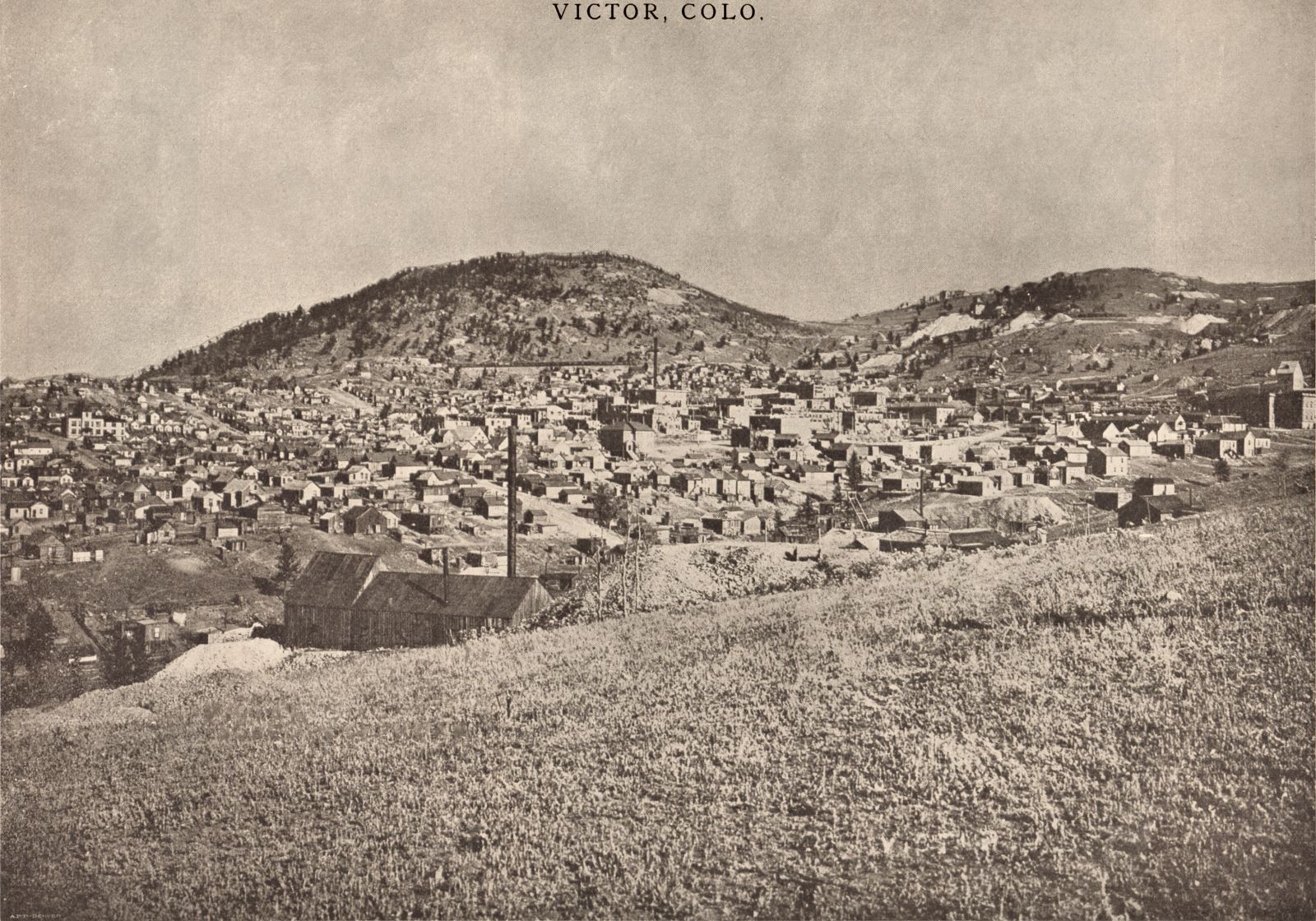

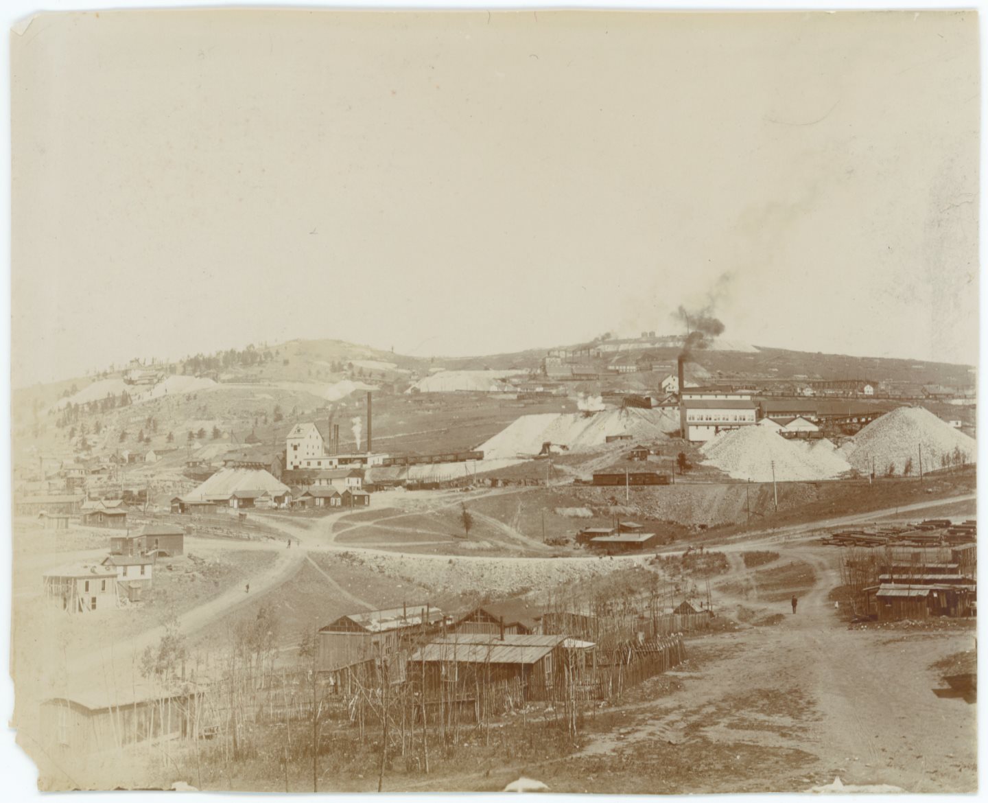
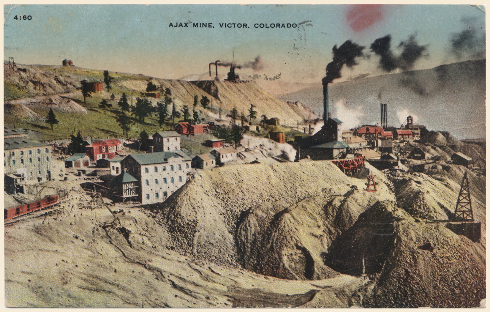
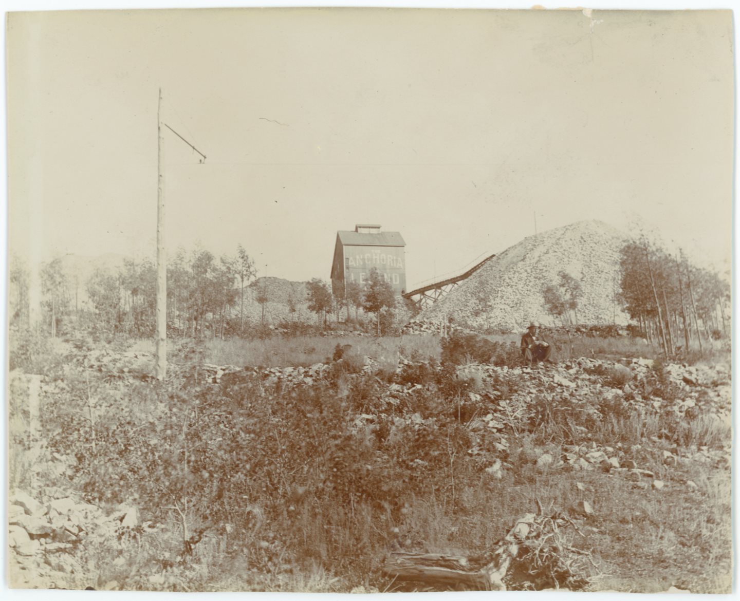
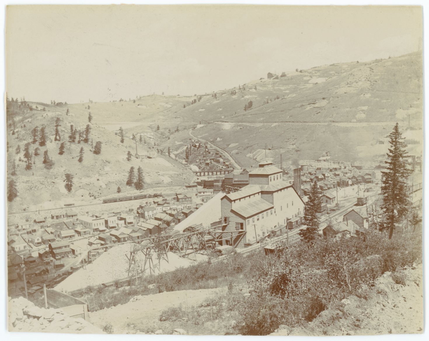

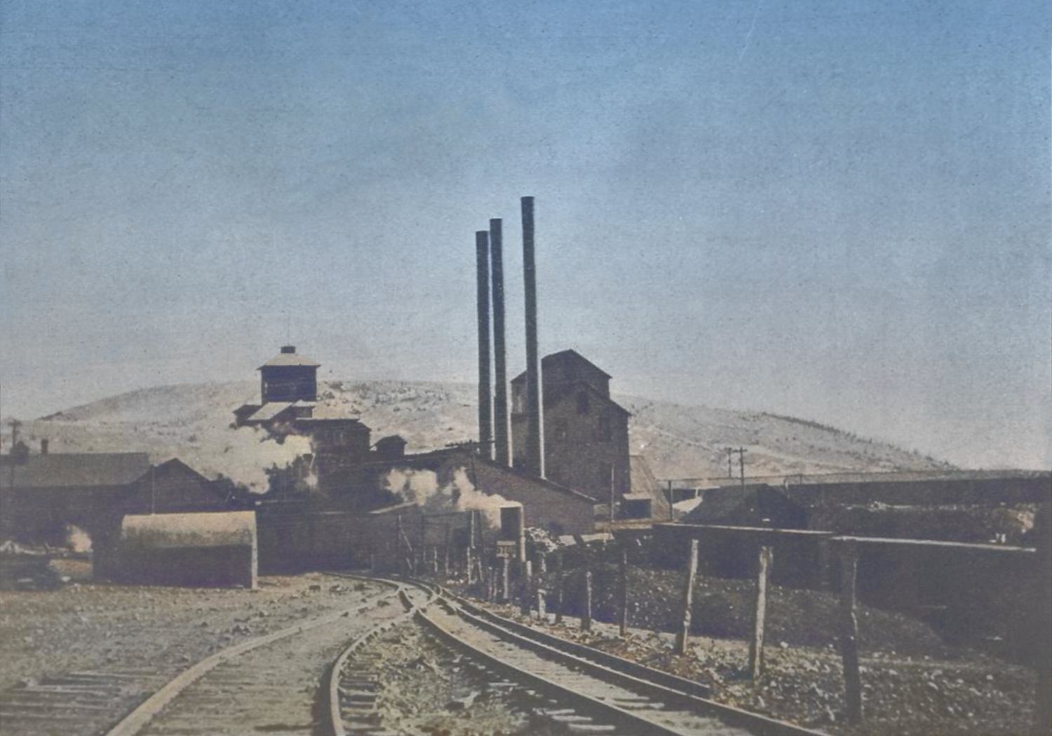

_gold-coin-of-granite-gm-co-use-parkison-furnace-colored2after_i-03051.jpg)
_gold-coin-of-granite-gm-co-use-parkison-furnace-colored1before_i-03051.jpg)

_morning-glory_aj-harlan_crpd-scld1890;ms-jan-25,1912-colored.jpg)
_dump-ore-stacker-at-ajax-mine_crpd-colored.jpg)
_view-ajax-mine-n-colburn-mill_crpd-colored.jpg)

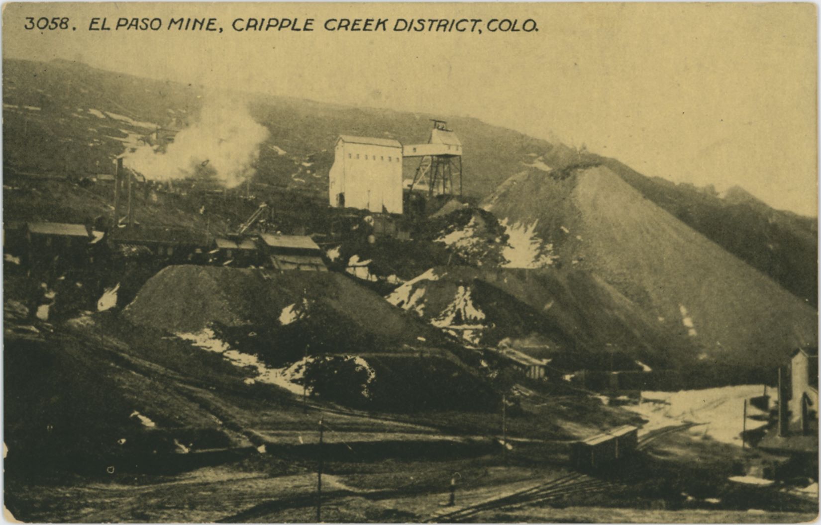
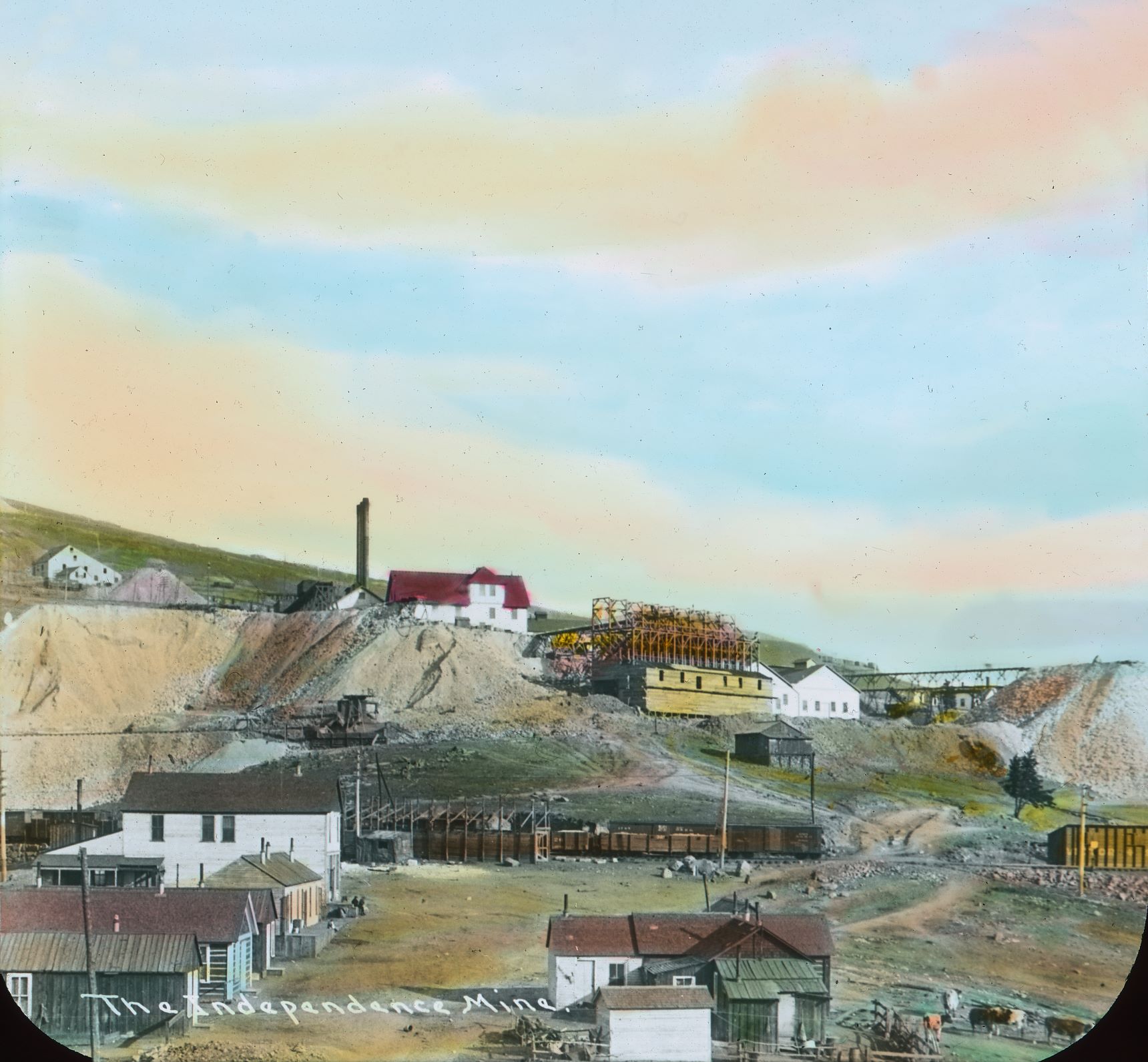
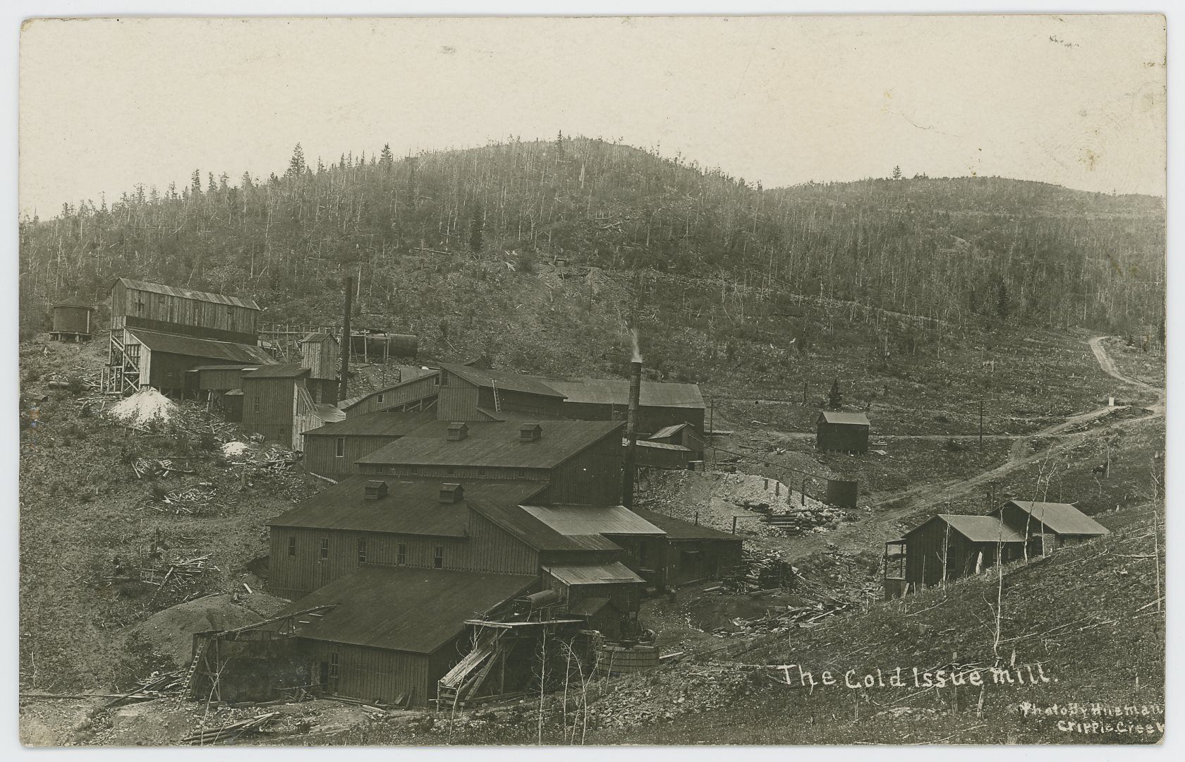
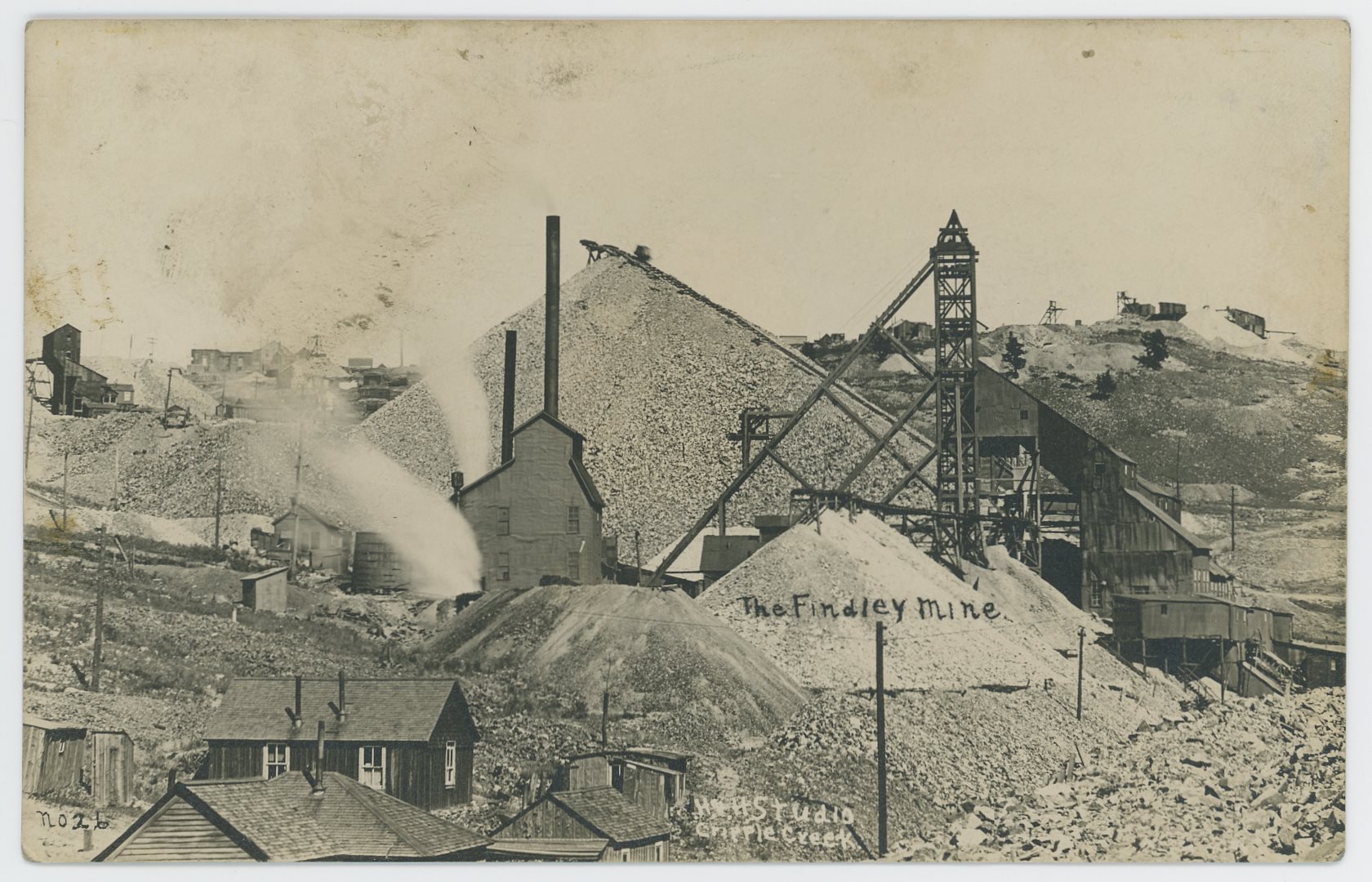
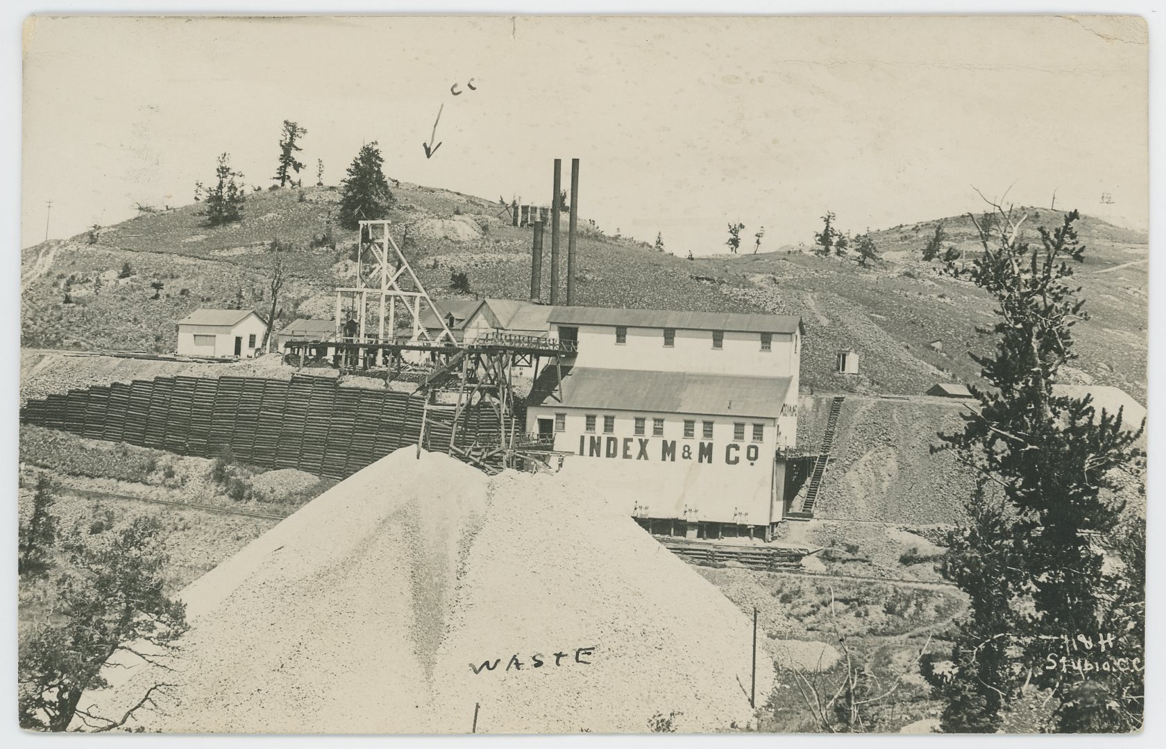
_frmd.jpg)
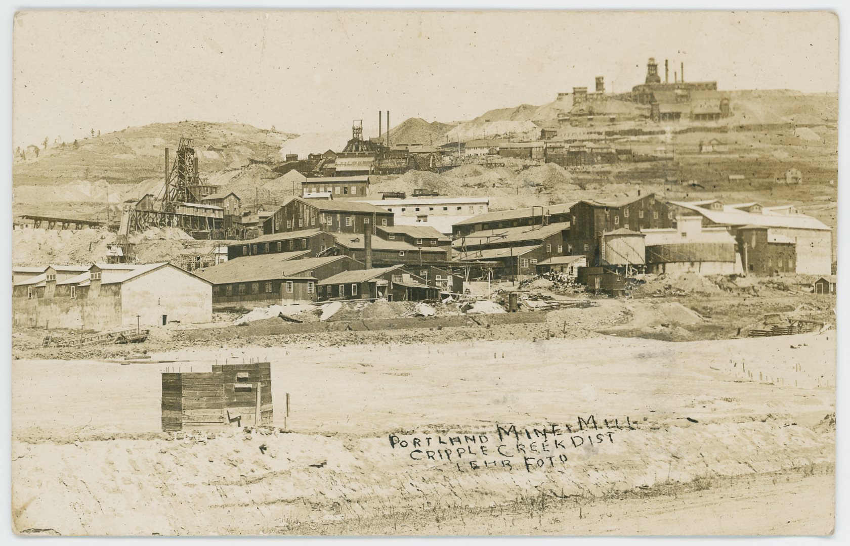
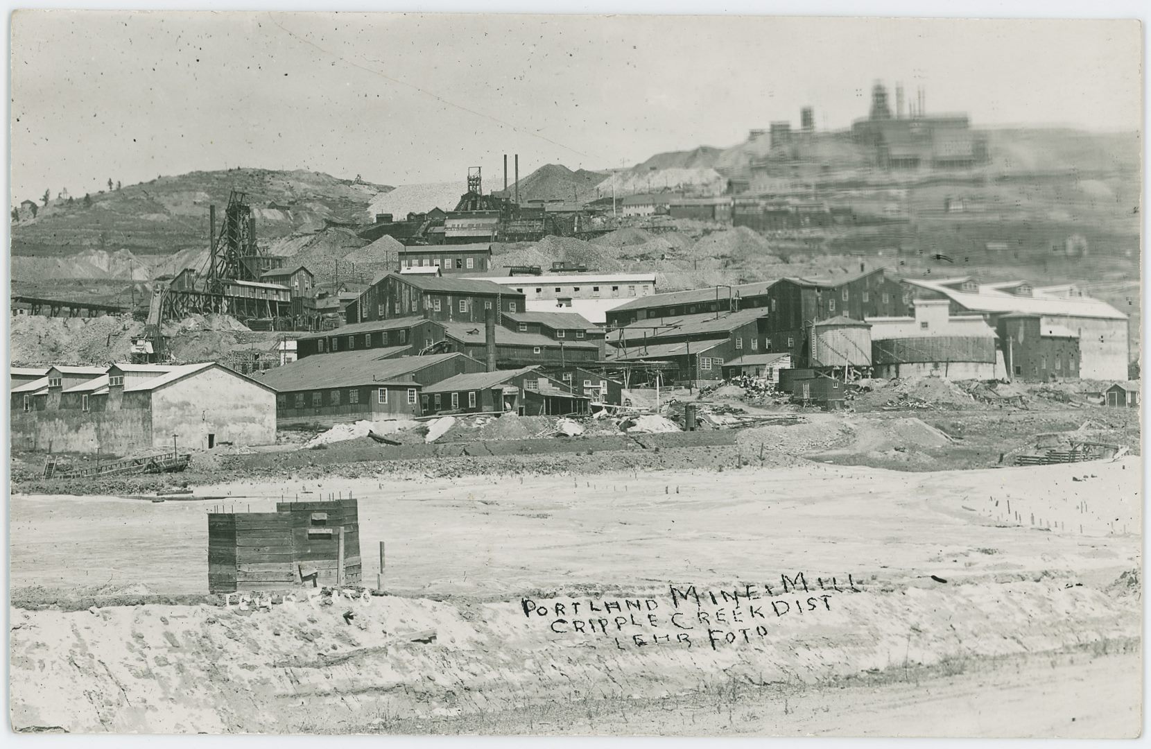
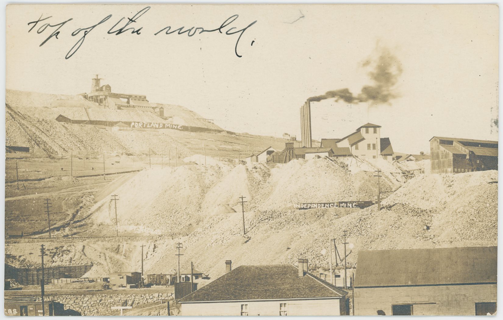

p142crpd_fig2-vindicator-screening-mill-colored_i-03042.jpg)
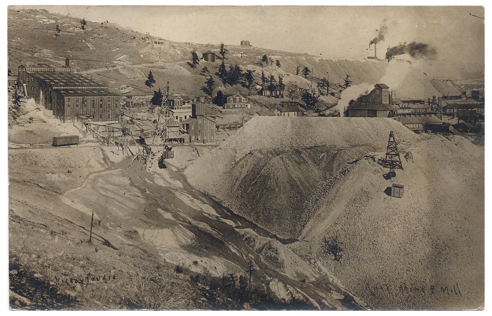
_ajax-mill_twstd-colored.jpg)
p171_fig04_roanoke-mine-colored_i-00216.jpg)
p47crpd_fig23_jo-dandy-mine-(underground)-hoist-colored_i-00137.jpg)
p47crpd_fig24_los-angeles-mine-hoist-colored_i-00138.jpg)
p47crpd_fig22_morning-glory-claim-no4-hoist-colored_i-00136.jpg)
p47crpd_fig21_bonanza-king-mine-hoist-colored_i-00135.jpg)
p46crpd_fig20_blue-bird-hoist-colored_i-00134.jpg)
p46crpd_fig19_arapahoe-claim-hoist-colored_i-00133.jpg)
p46crpd_fig18_jack-pot,creston-leasing-co-hoist-colored_i-00132.jpg)
p46crpd_fig17_jonas-lease,morning-glory-hoist-colored_i-00131.jpg)
p45crpd_fig16_wilson-claim,free-coinage-hoist-colored_i-00130.jpg)
p45crpd_fig15_wild-horse-hoist-colored_i-00129.jpg)
p45crpd_fig13_wisconsin-claim-hoist-colored_i-00127.jpg)
p45crpd_fig14_night-hawk-mine-hoist-colored_i-00128.jpg)
p44crpd_trolleys-below-anchoria-leland-colored_i-00126.jpg)
_6d-colored_i-02686.jpg)
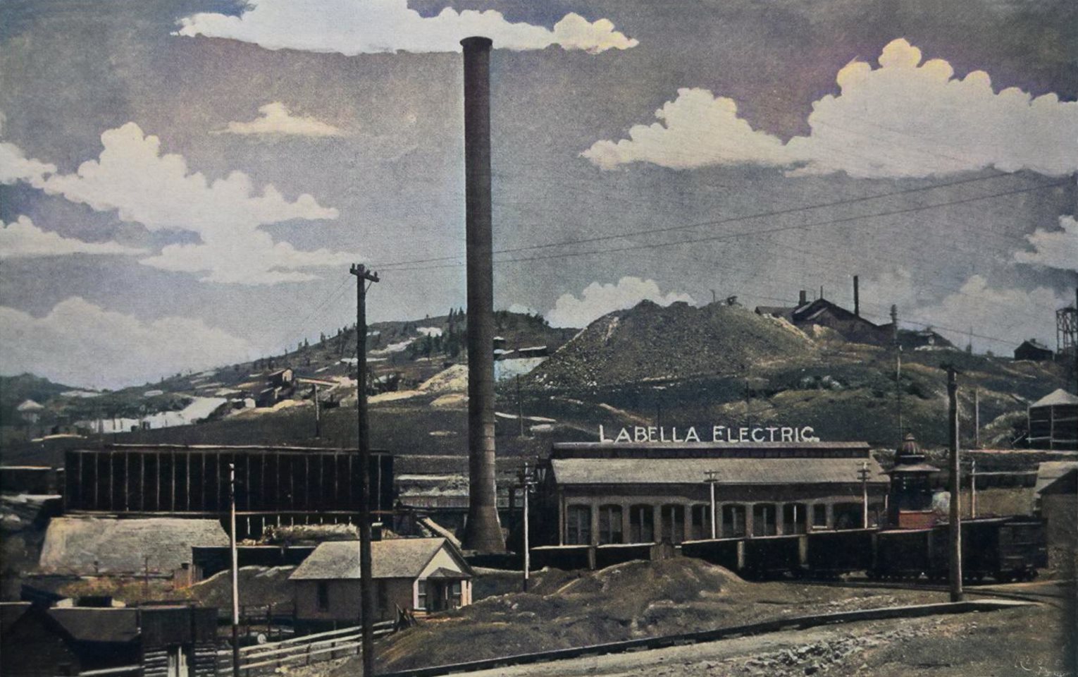
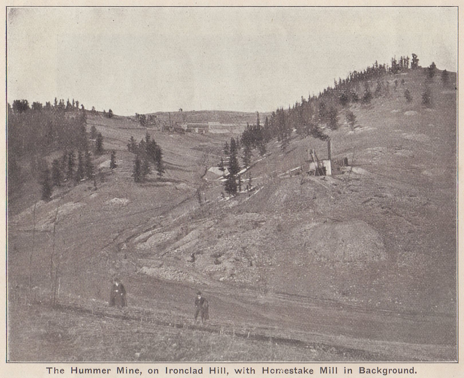
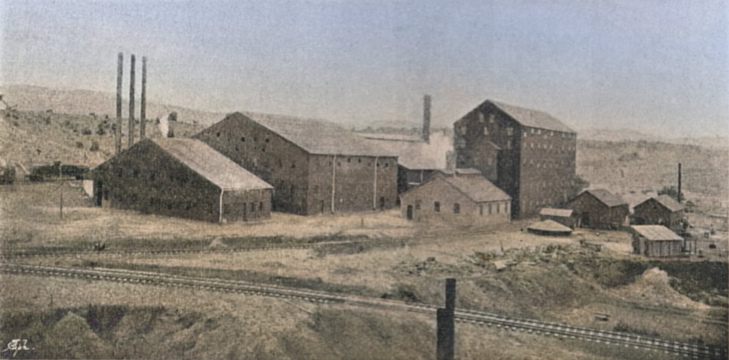
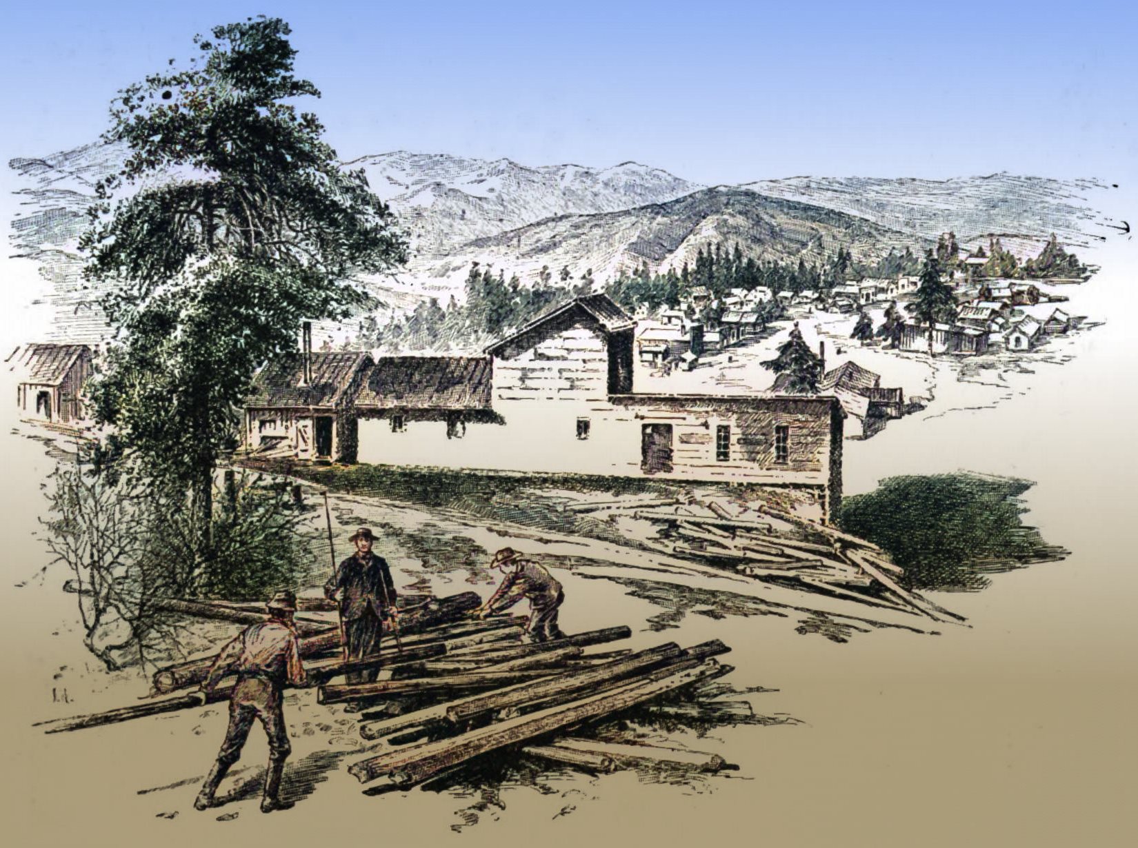
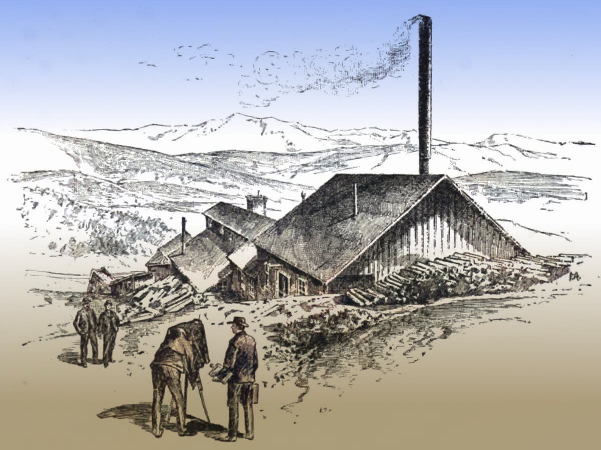
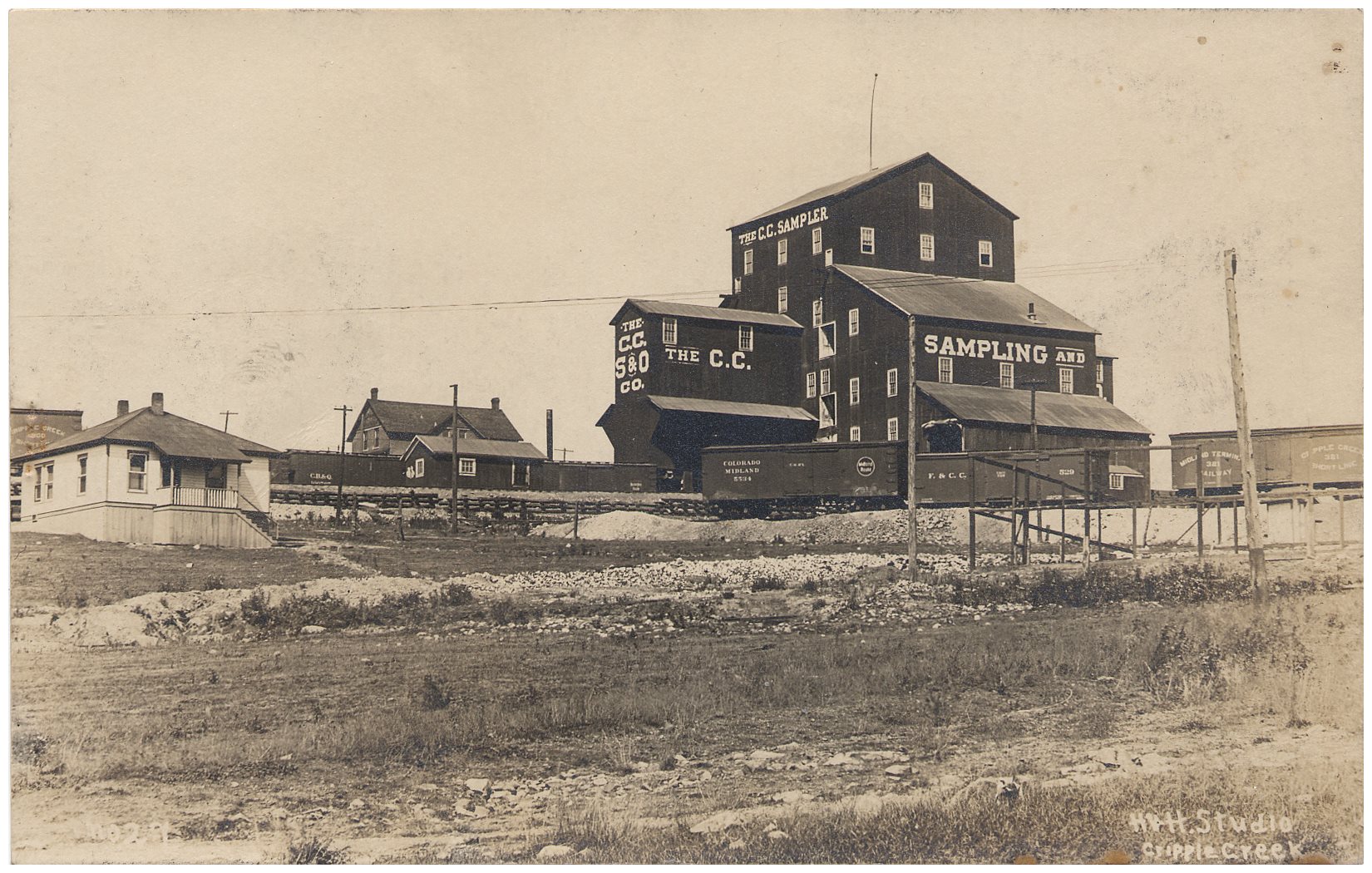
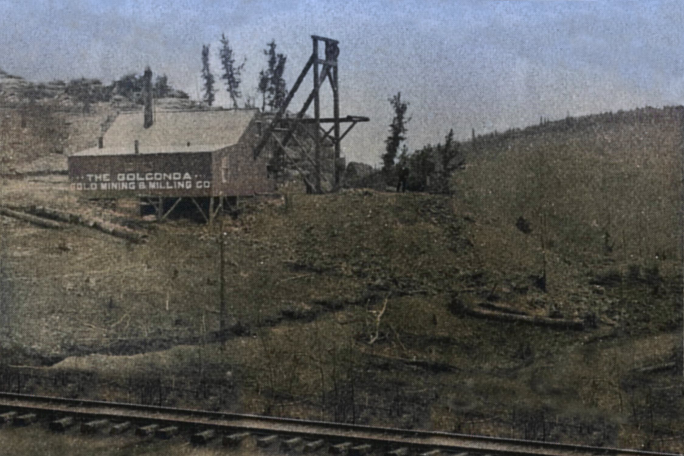


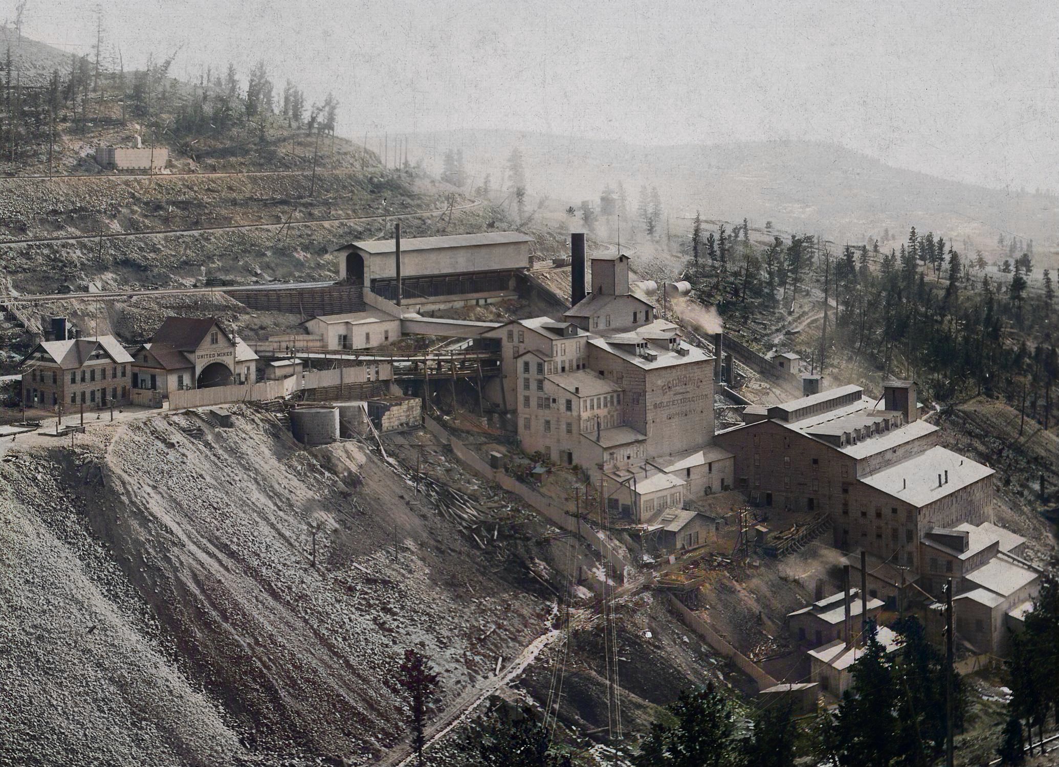
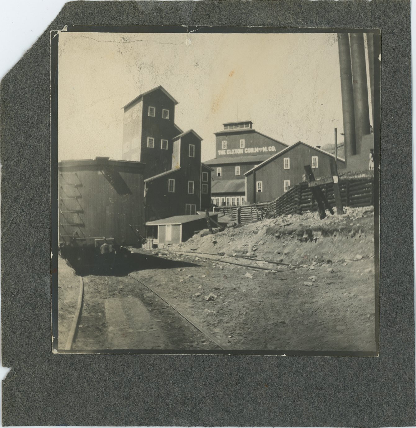
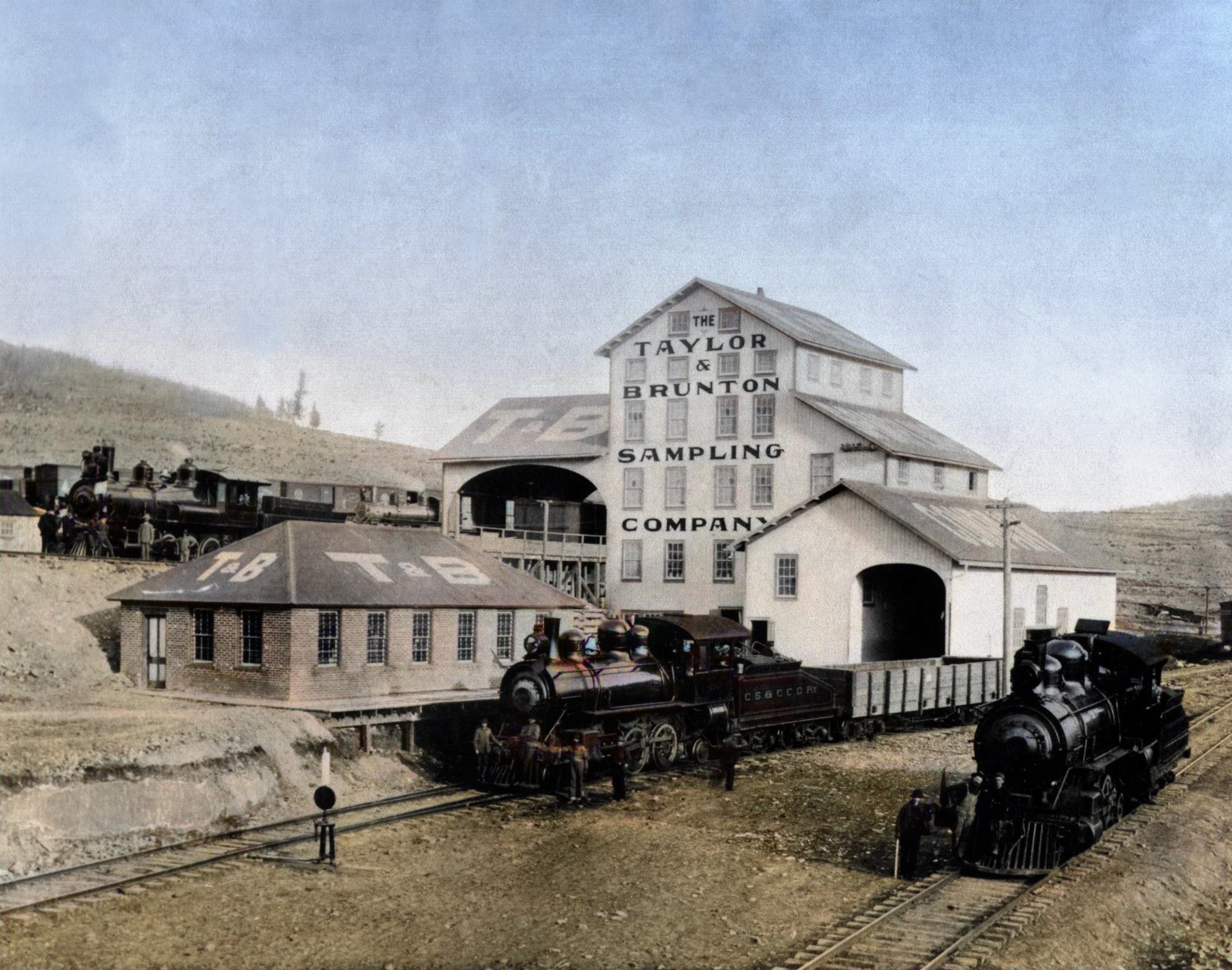
_crpd-eagle-sampler_12d_colored.jpg)
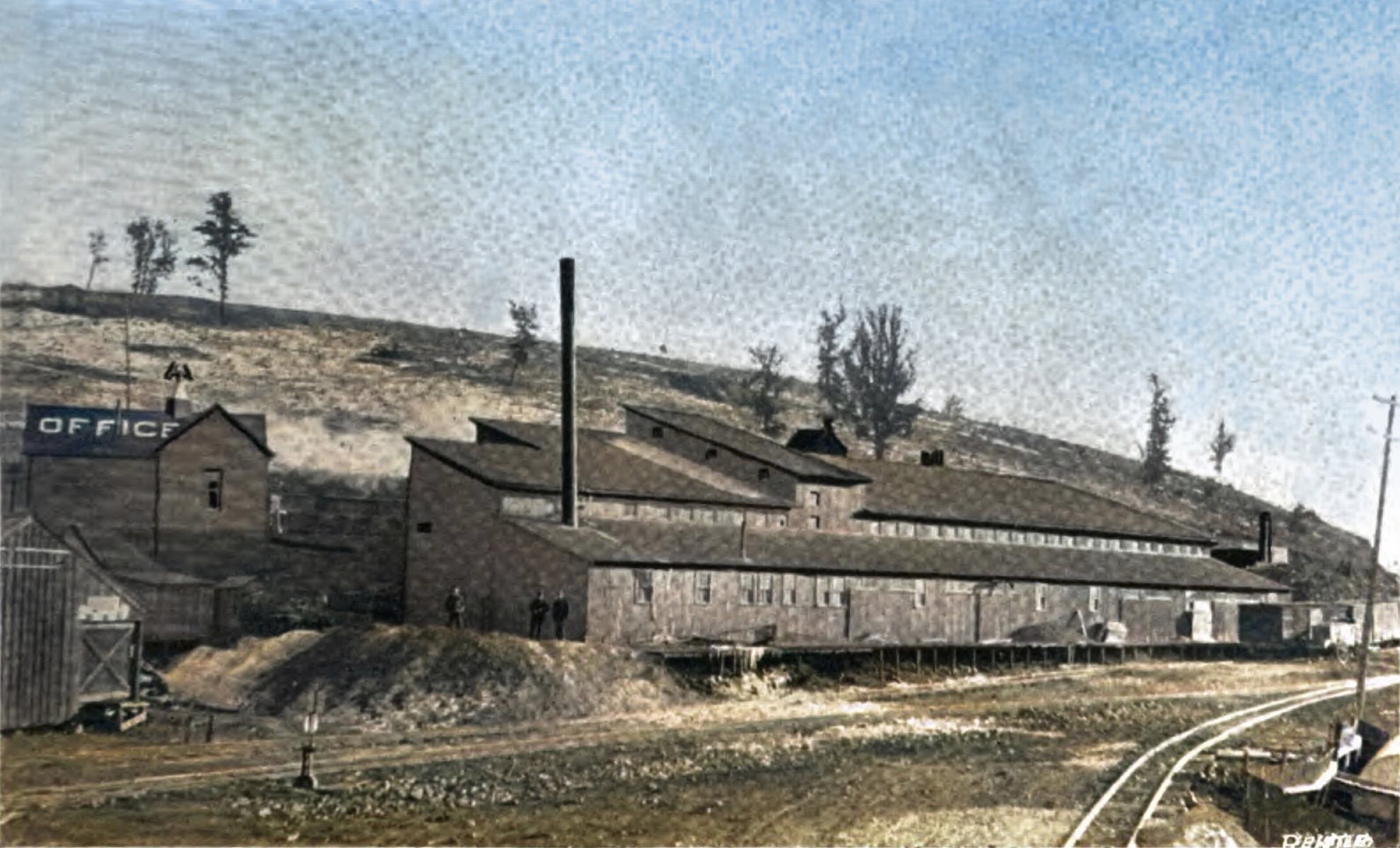
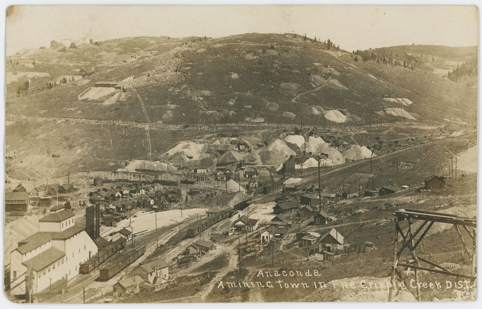
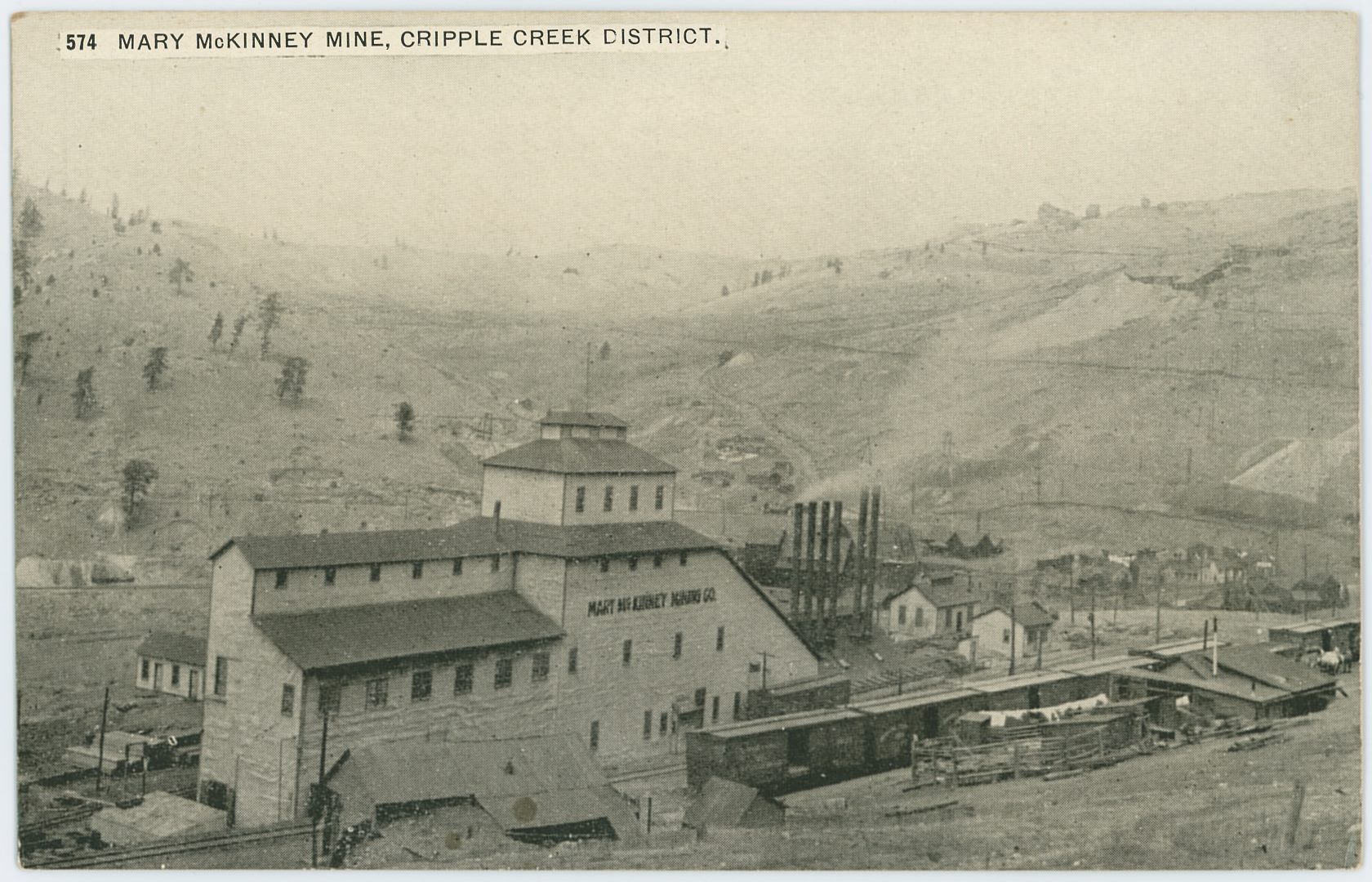

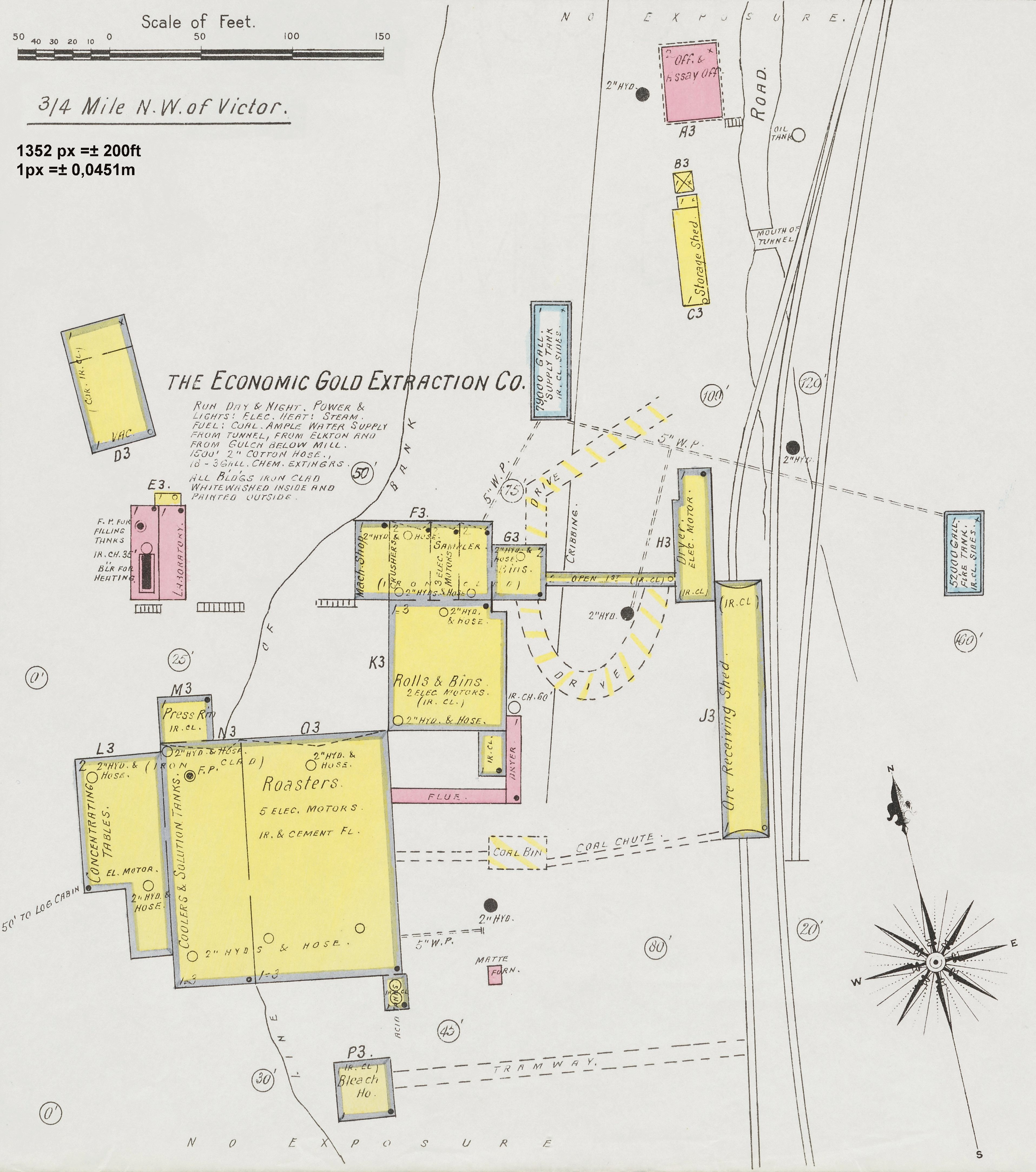
_crpd-sullivan-airdrills-ophelia-tunnel_4d-colored_web.jpg)
_crpd-heading-ophelia-tunnel_4d-colored_web.jpg)
_web-colored.jpg)
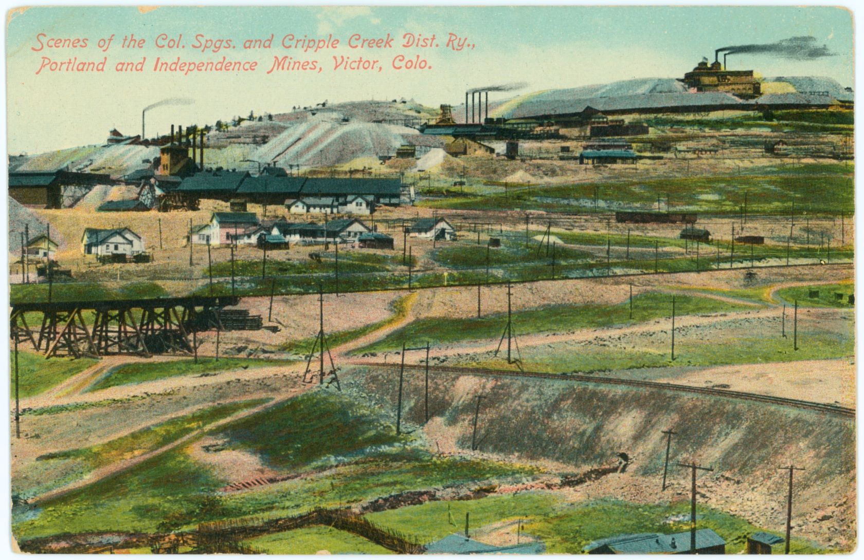
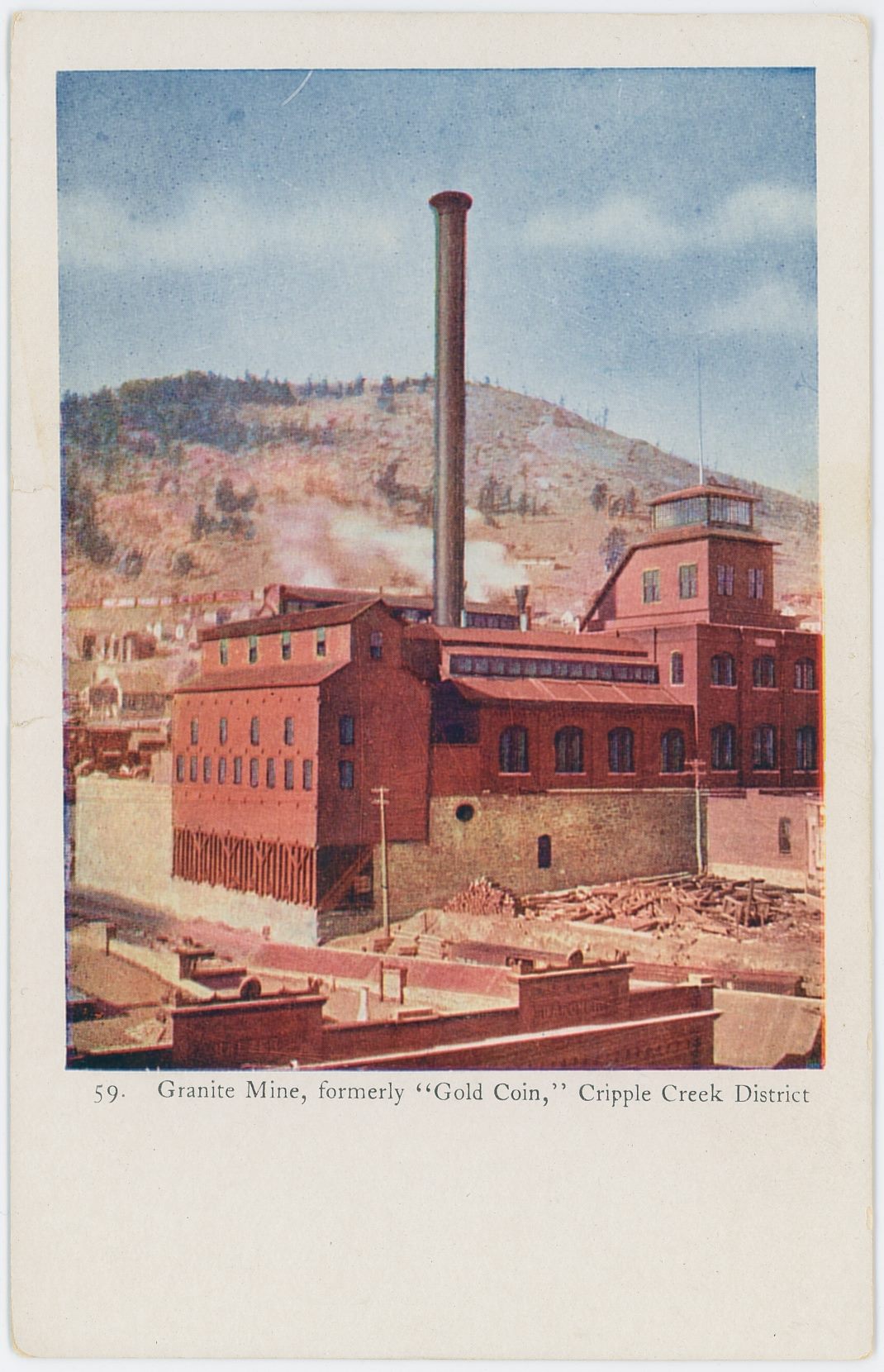
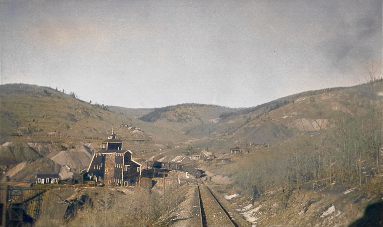
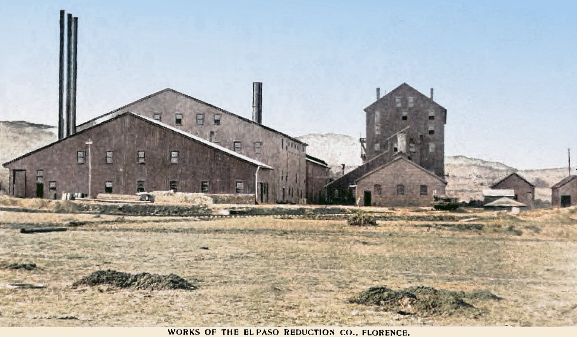
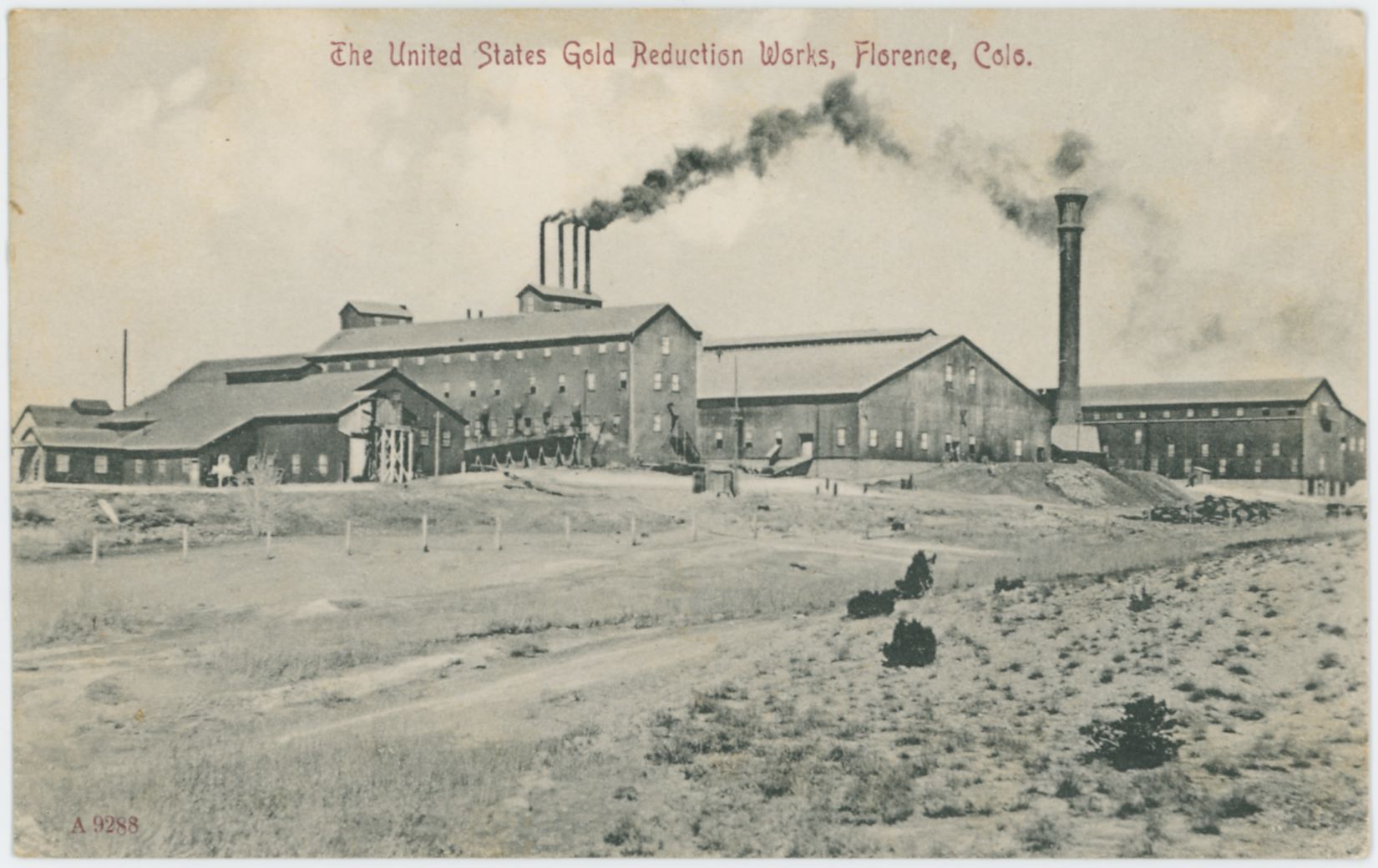
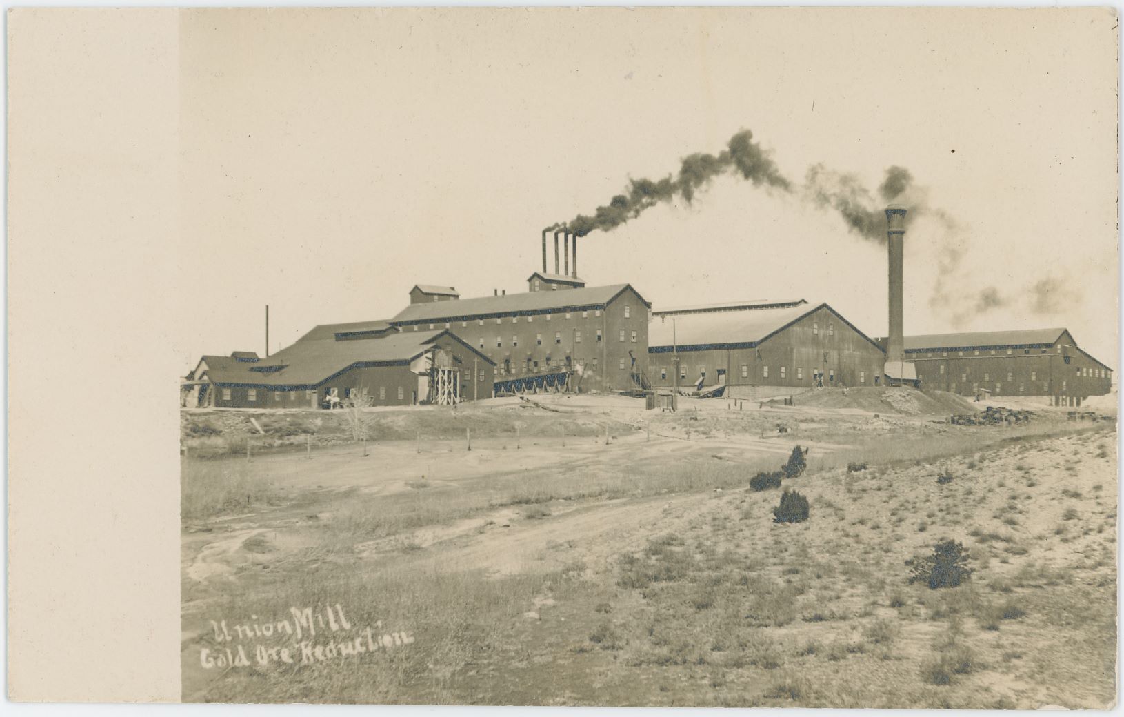
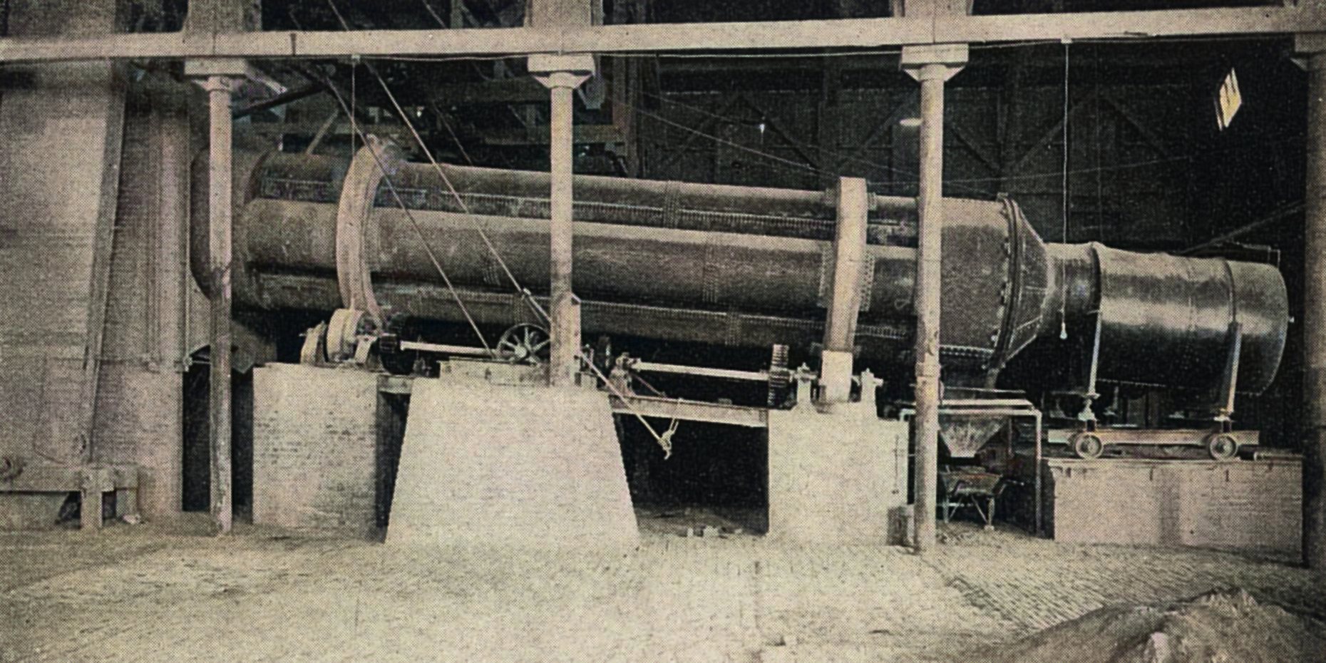
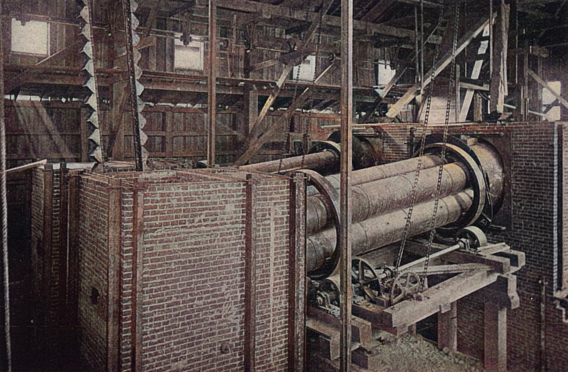


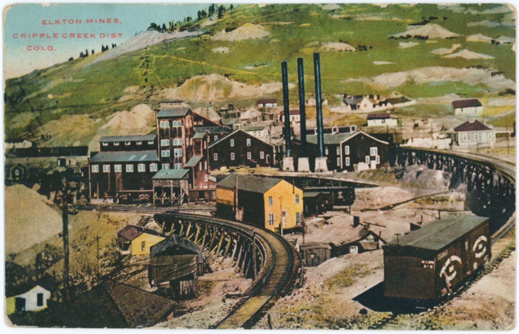

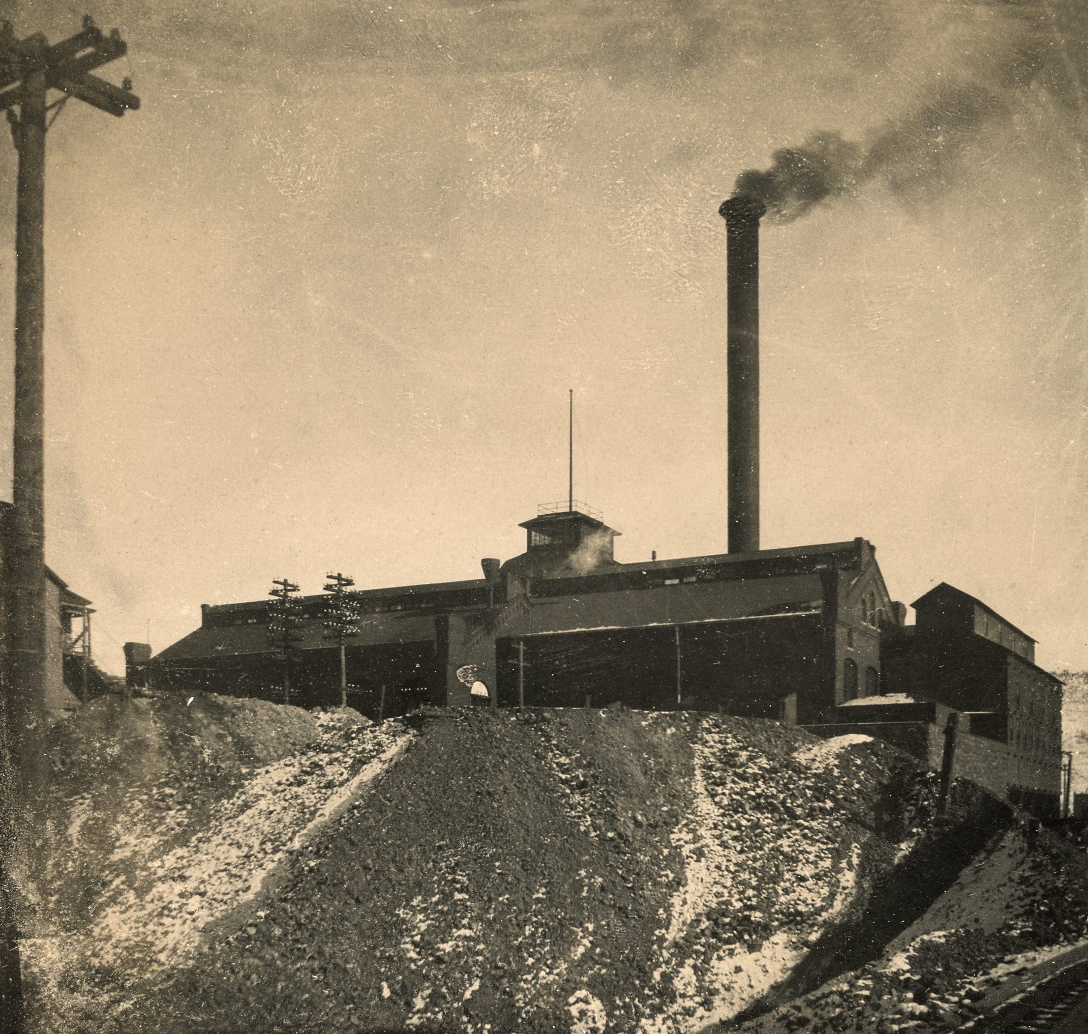

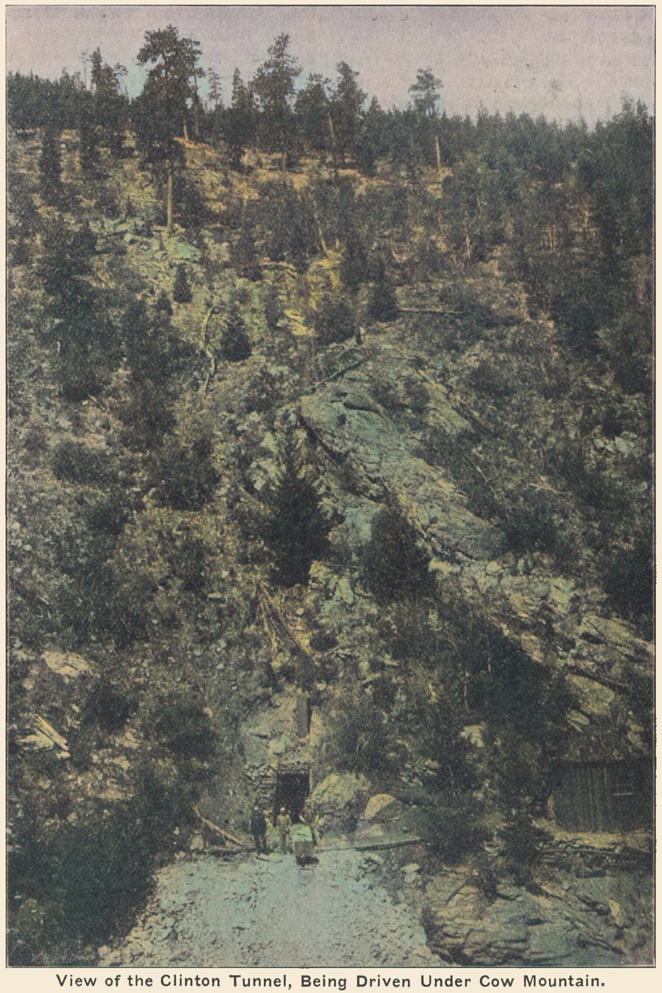
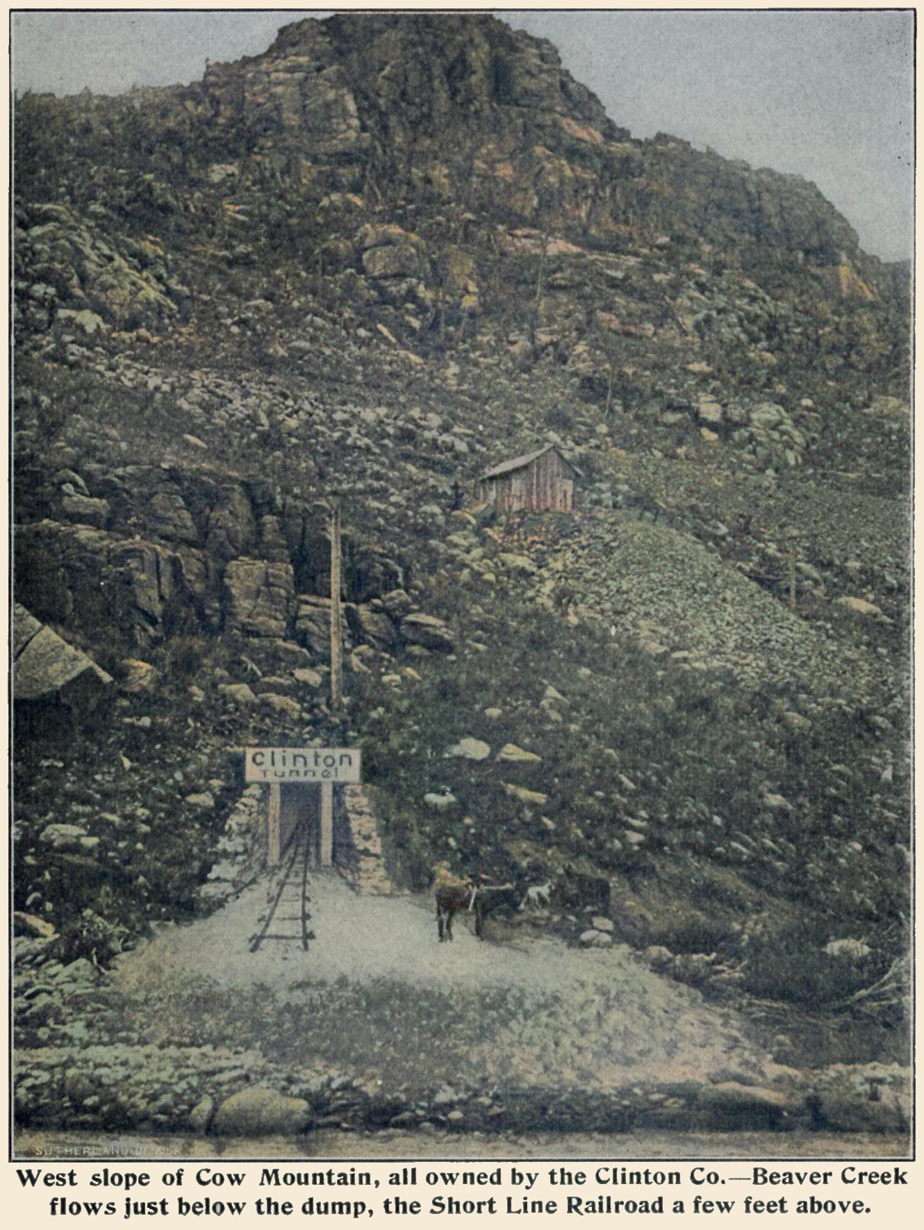
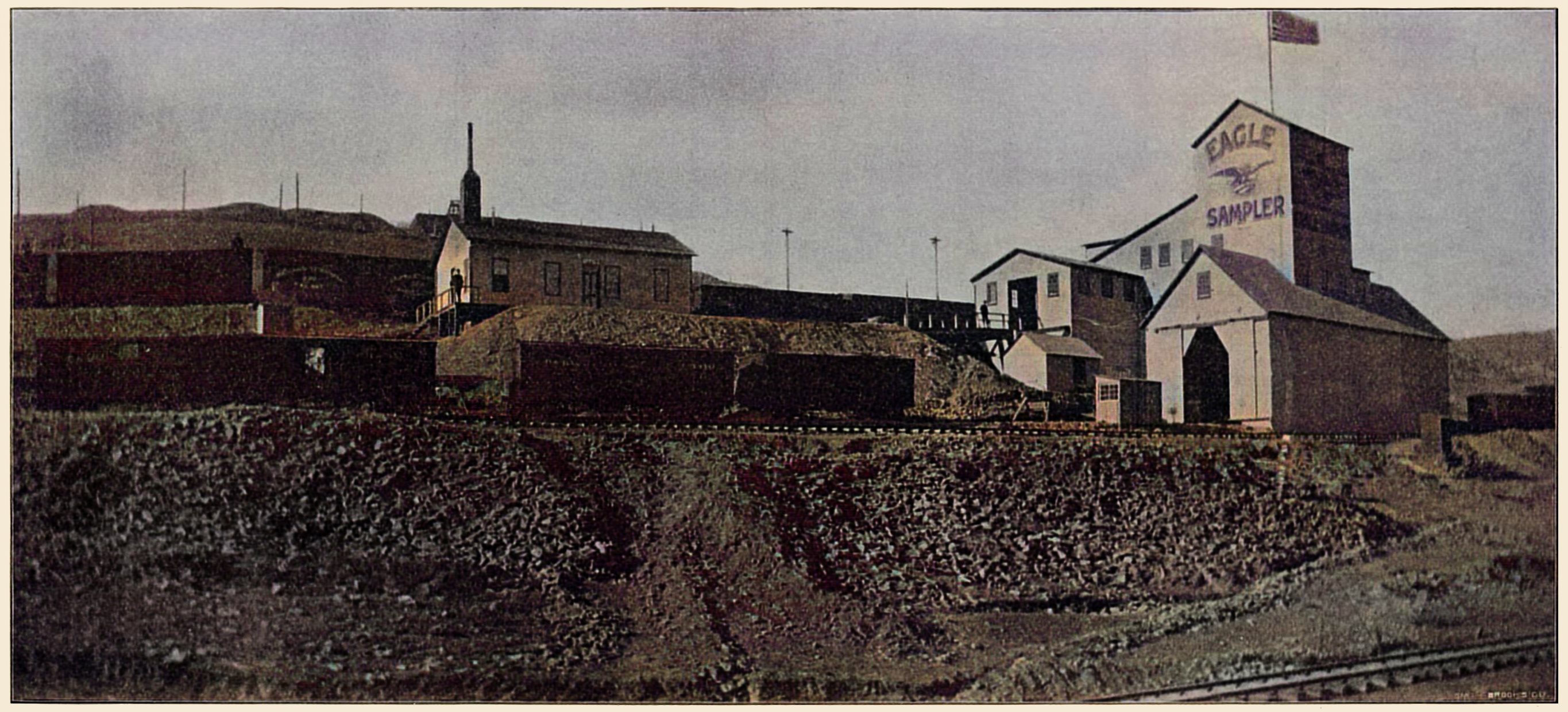
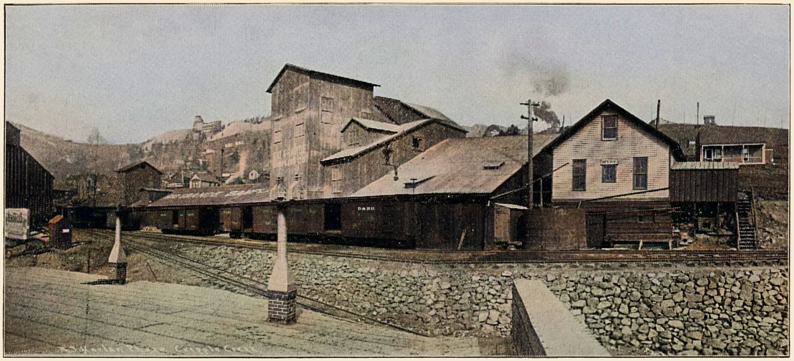
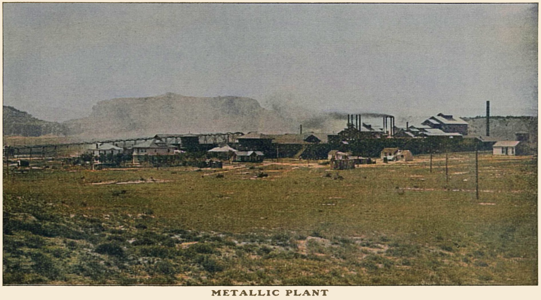
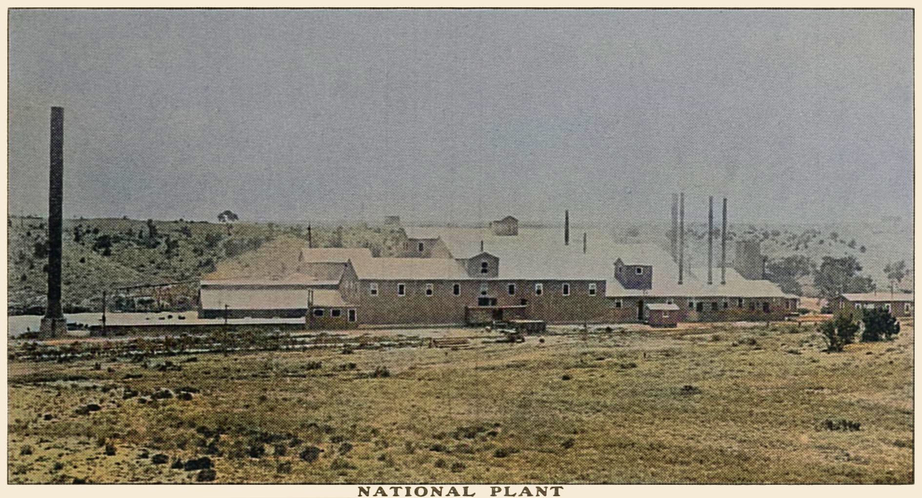

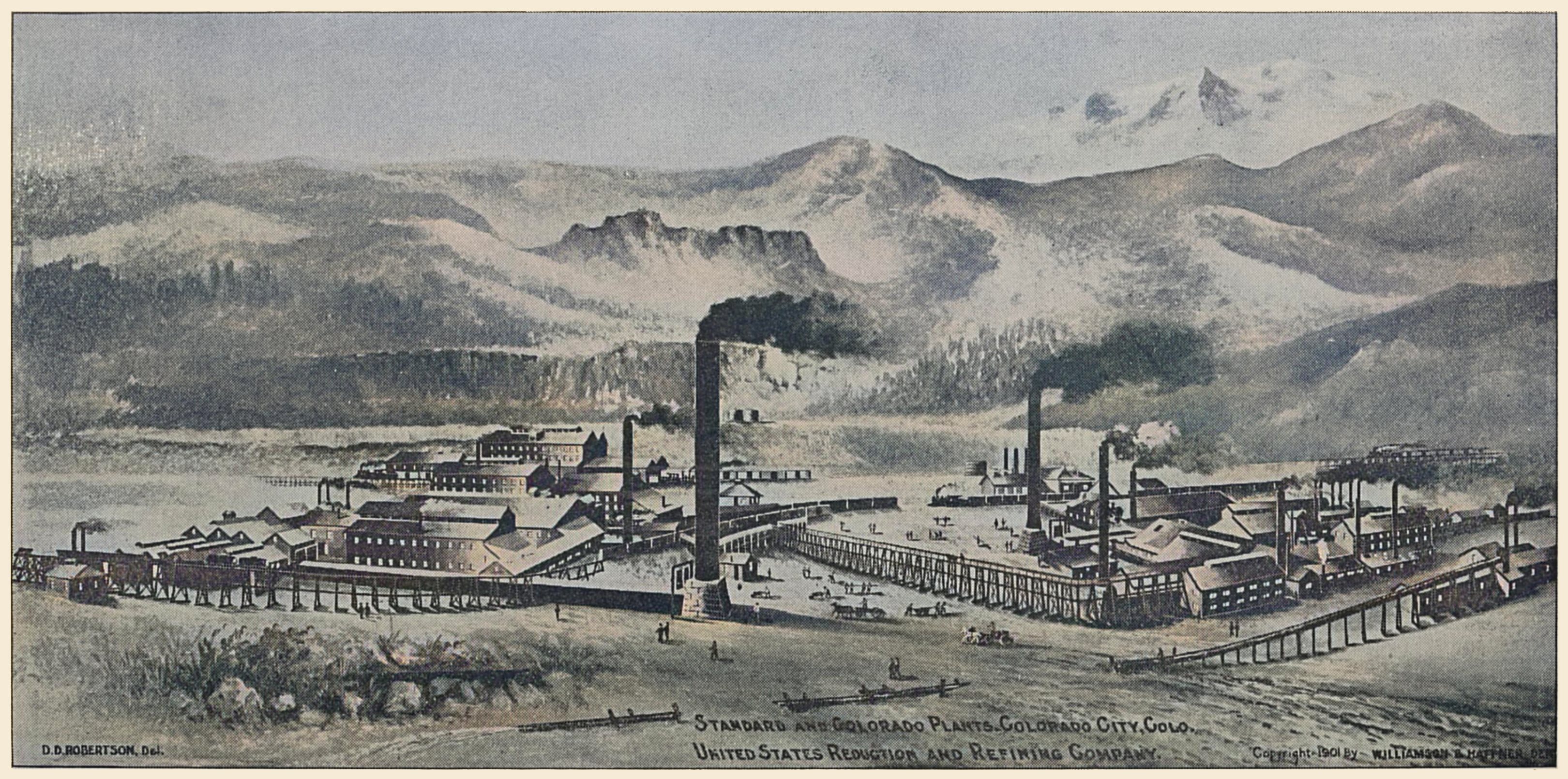
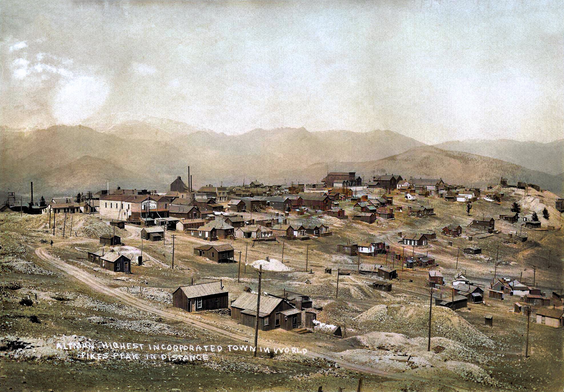
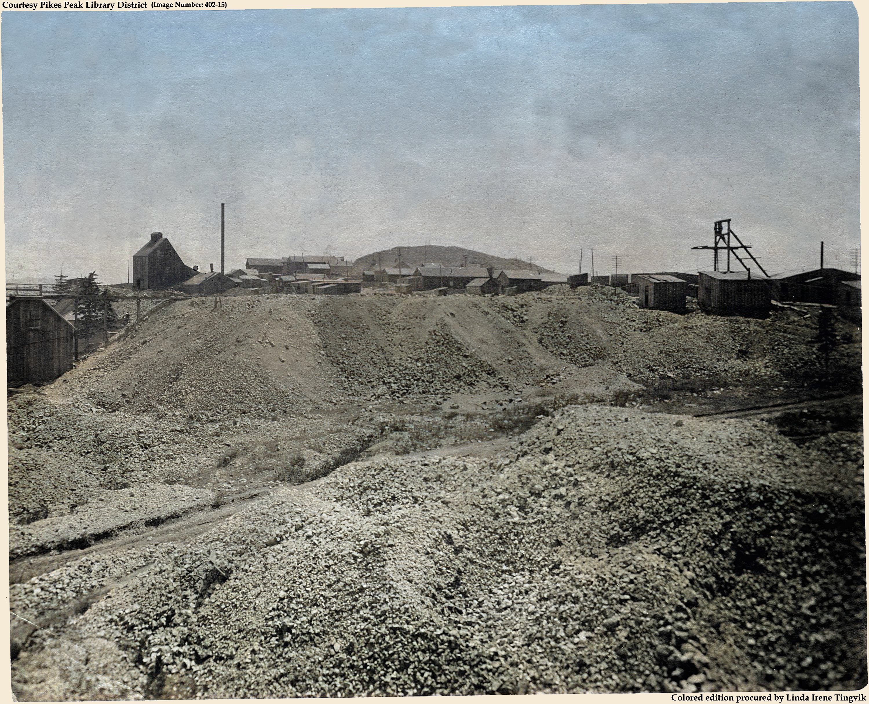

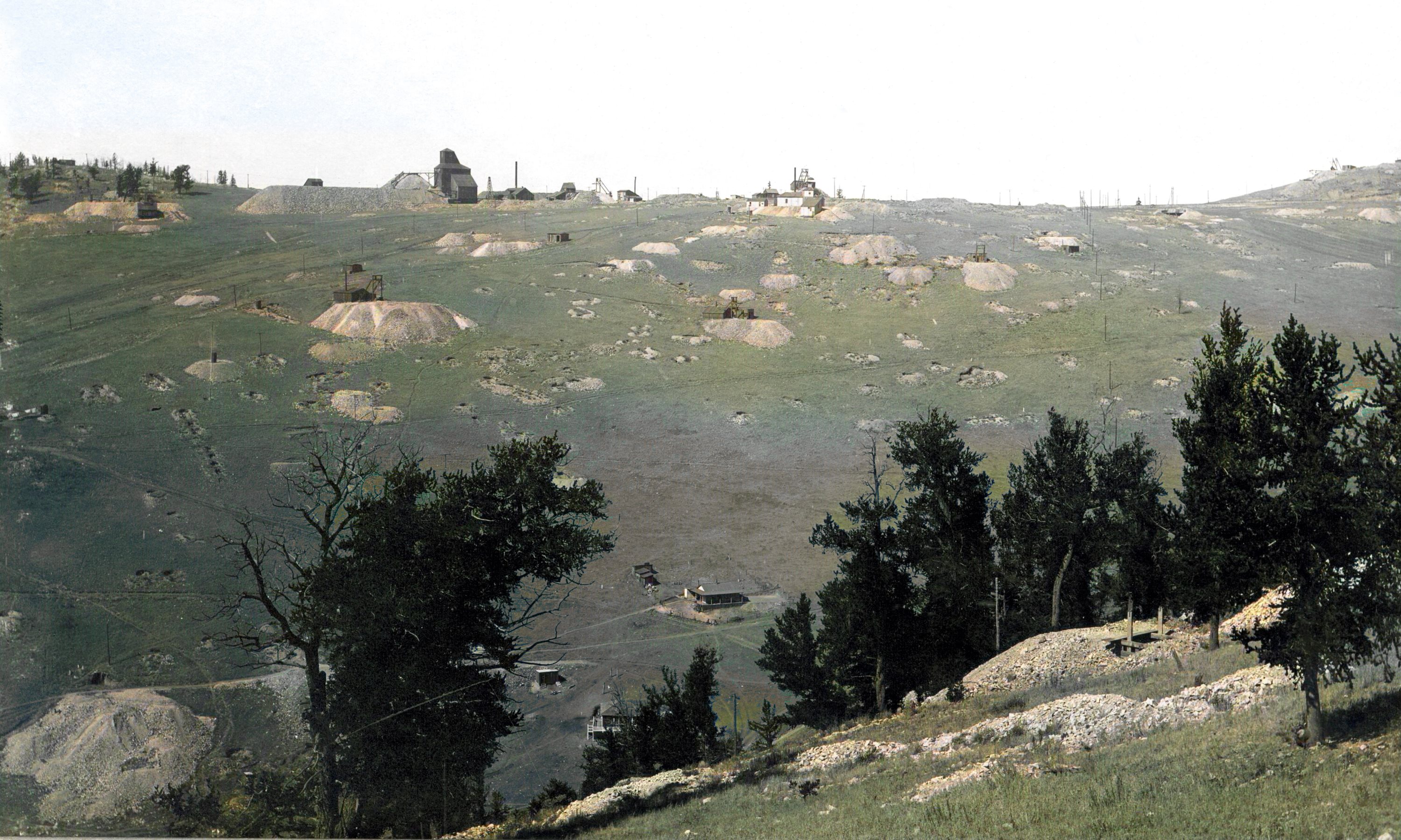
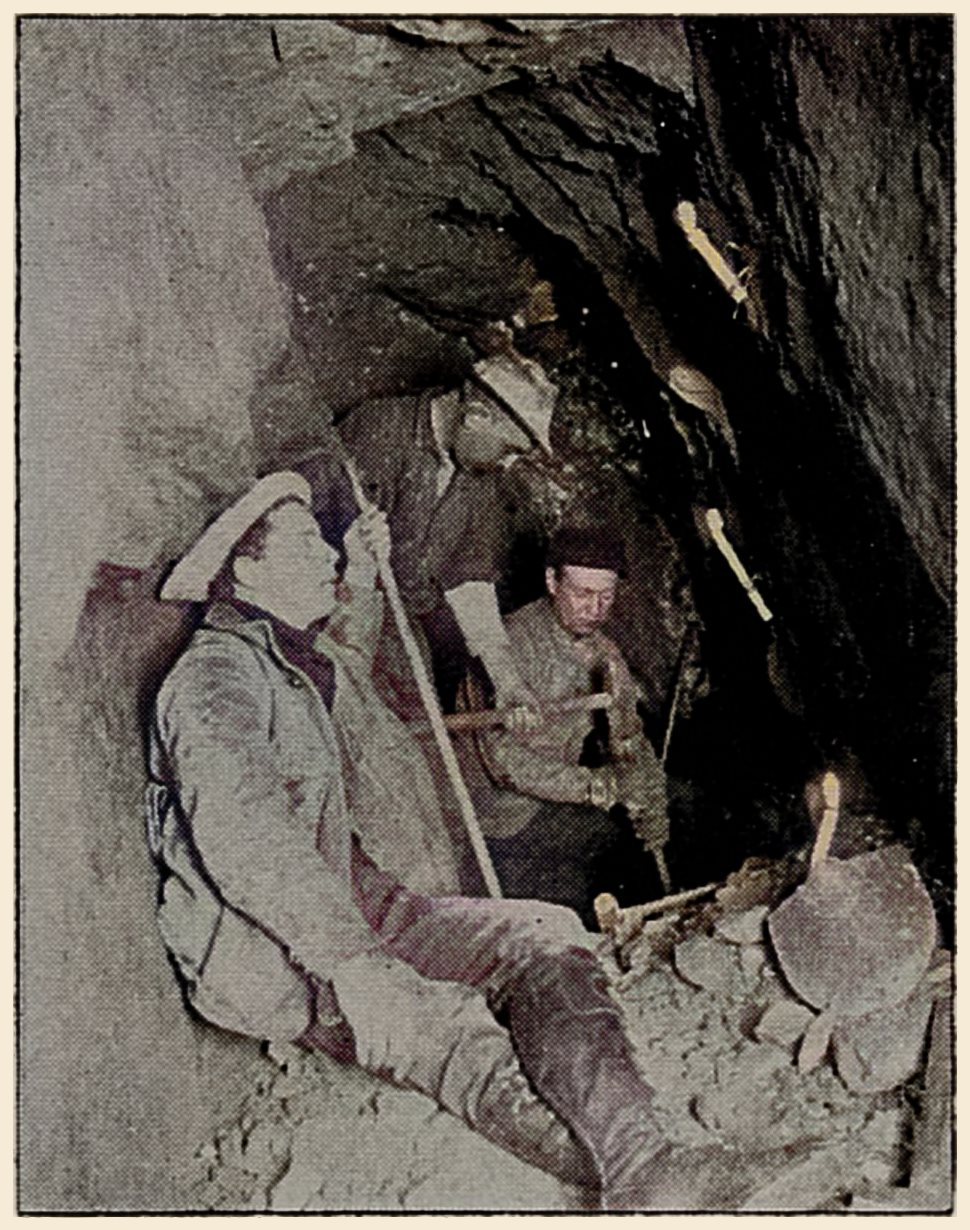
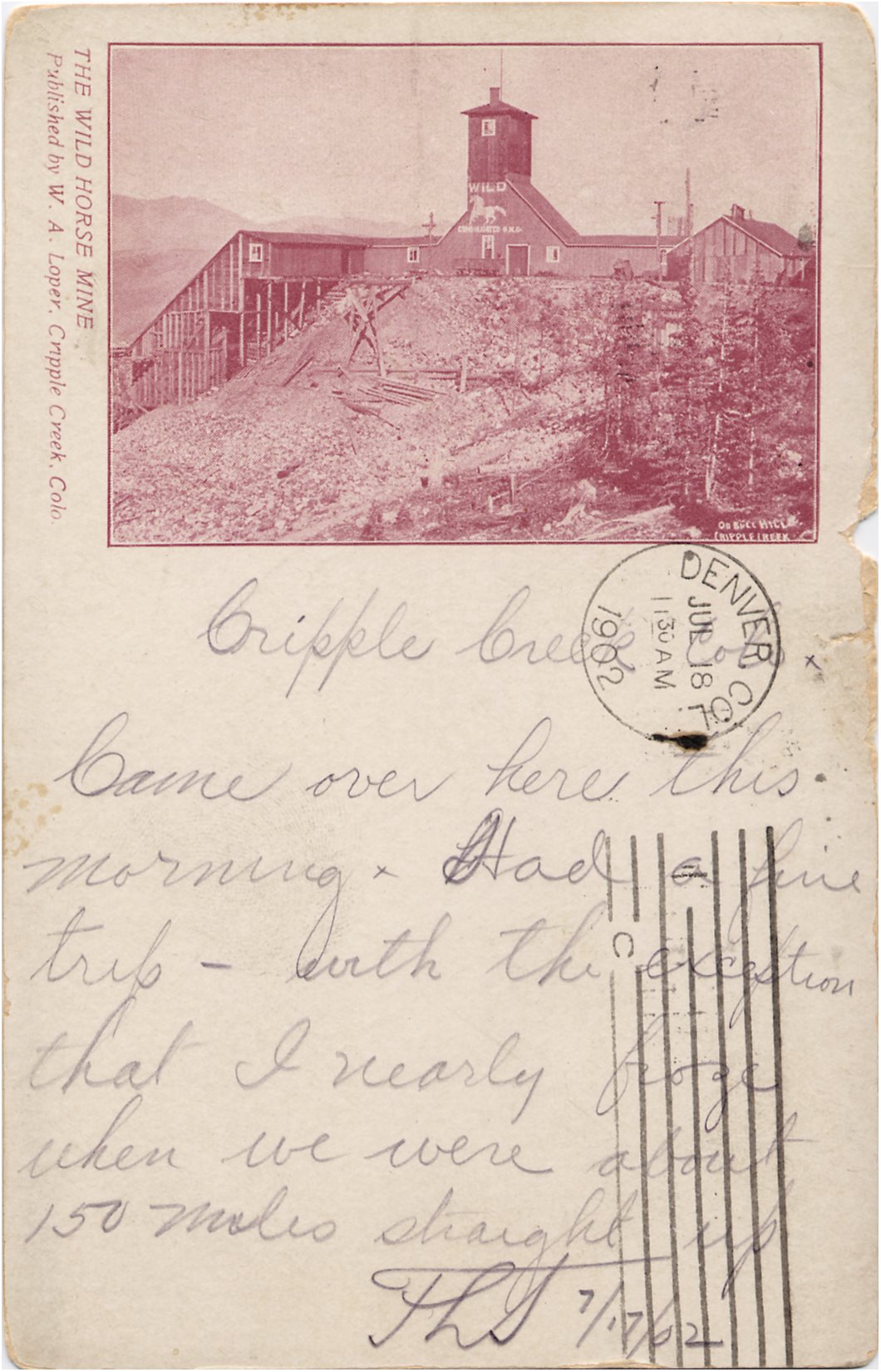
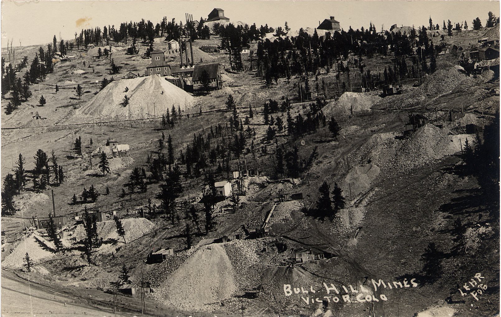
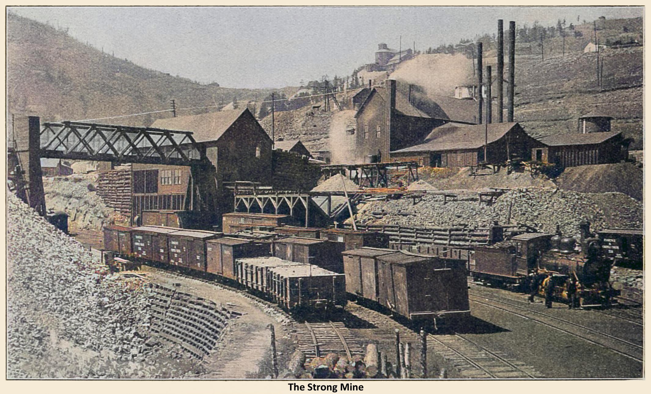
colored-twst-web.jpg)
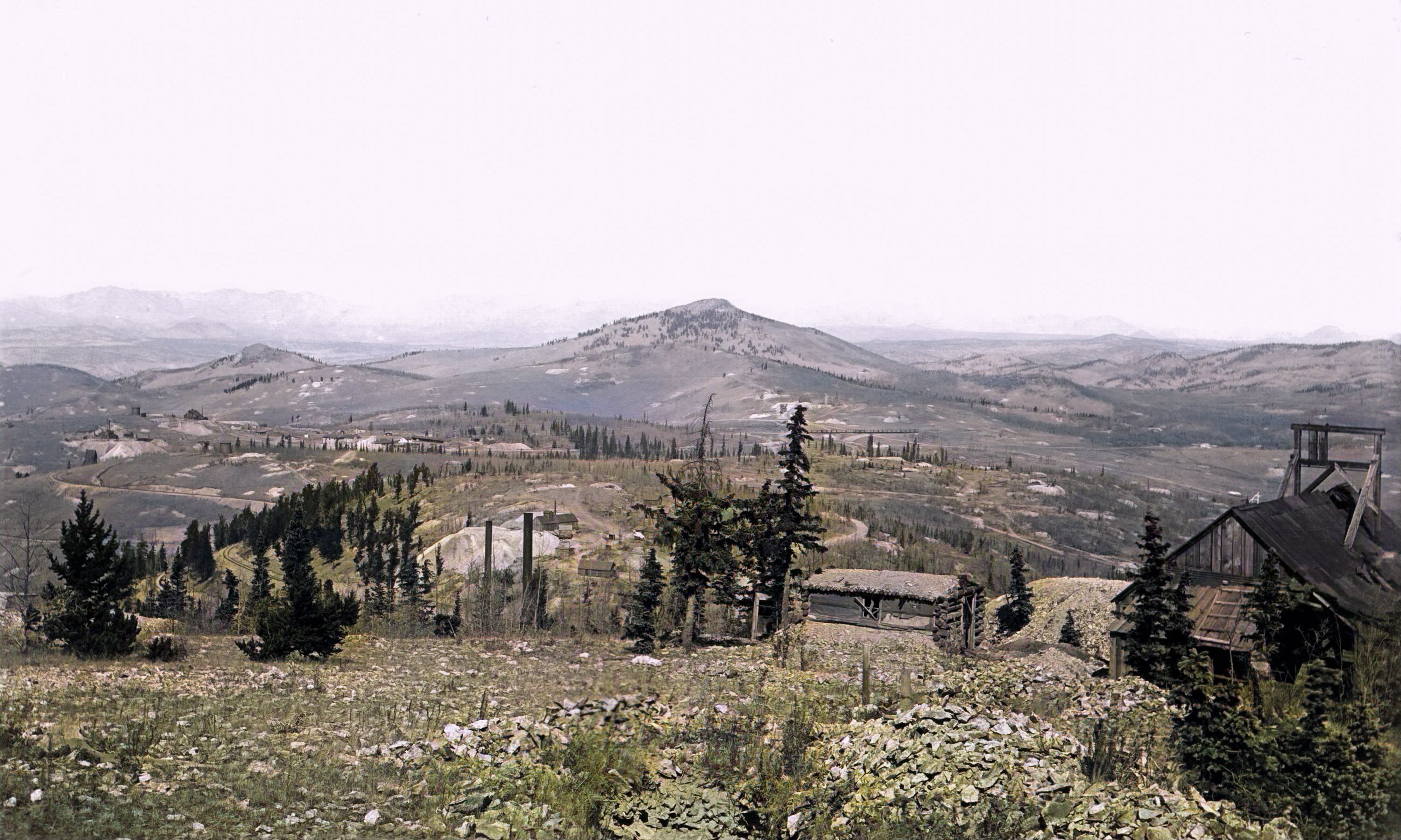
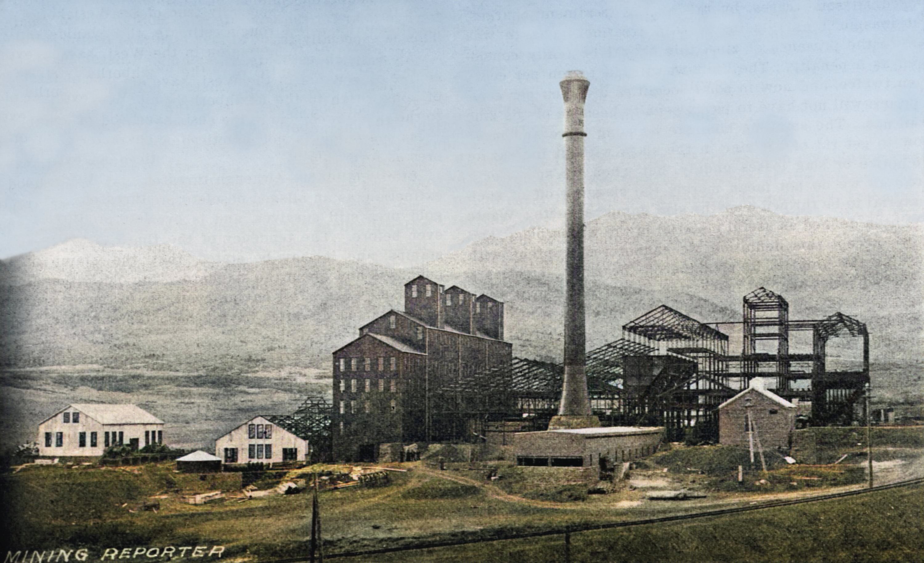
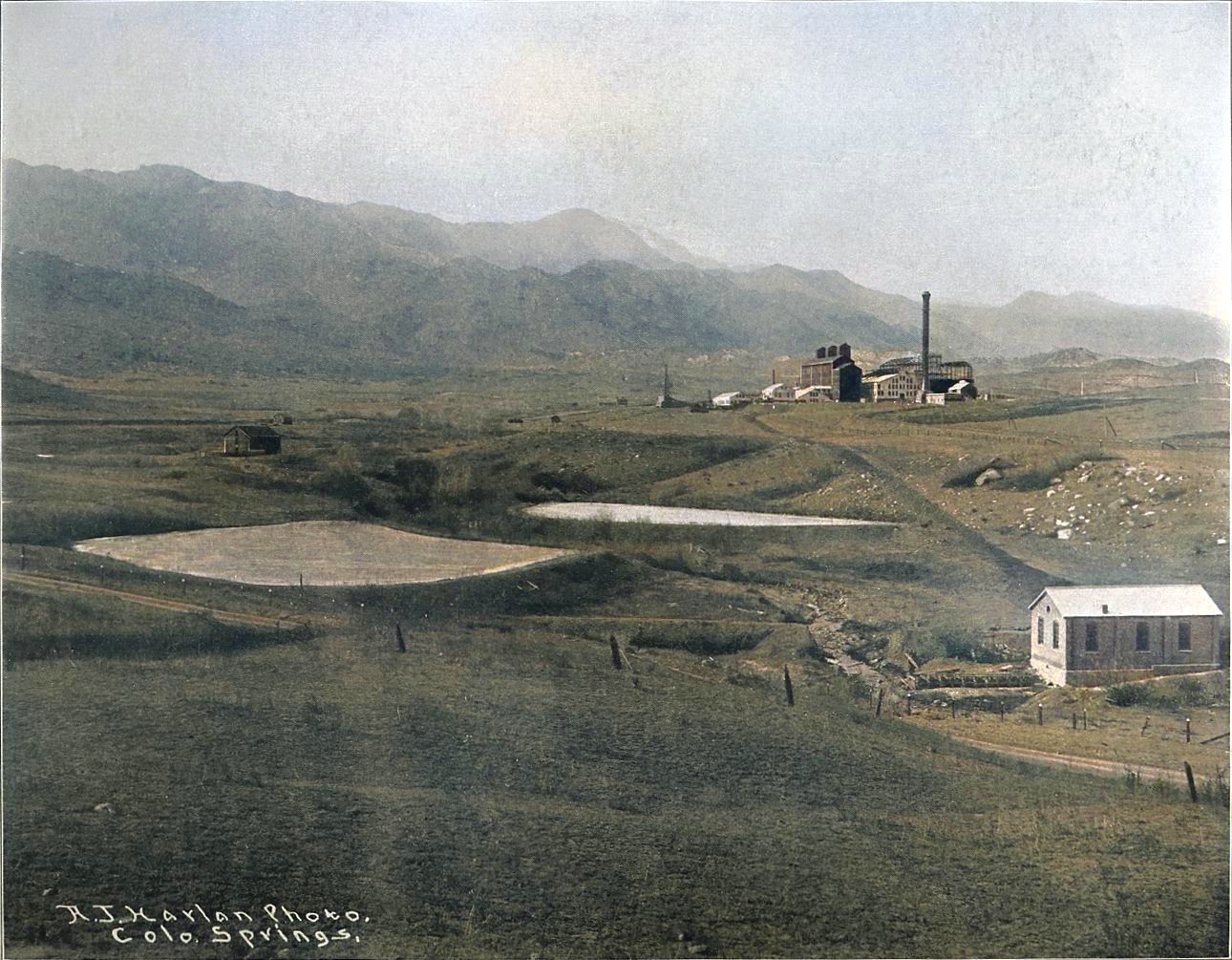
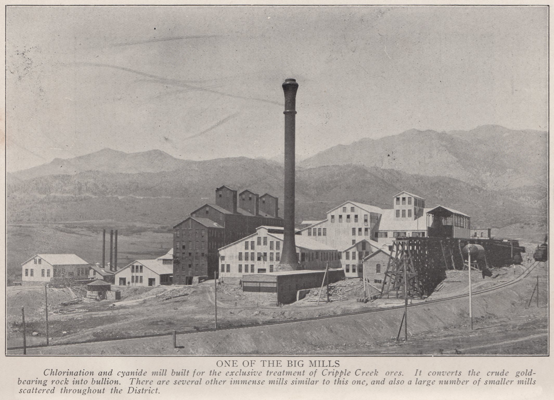
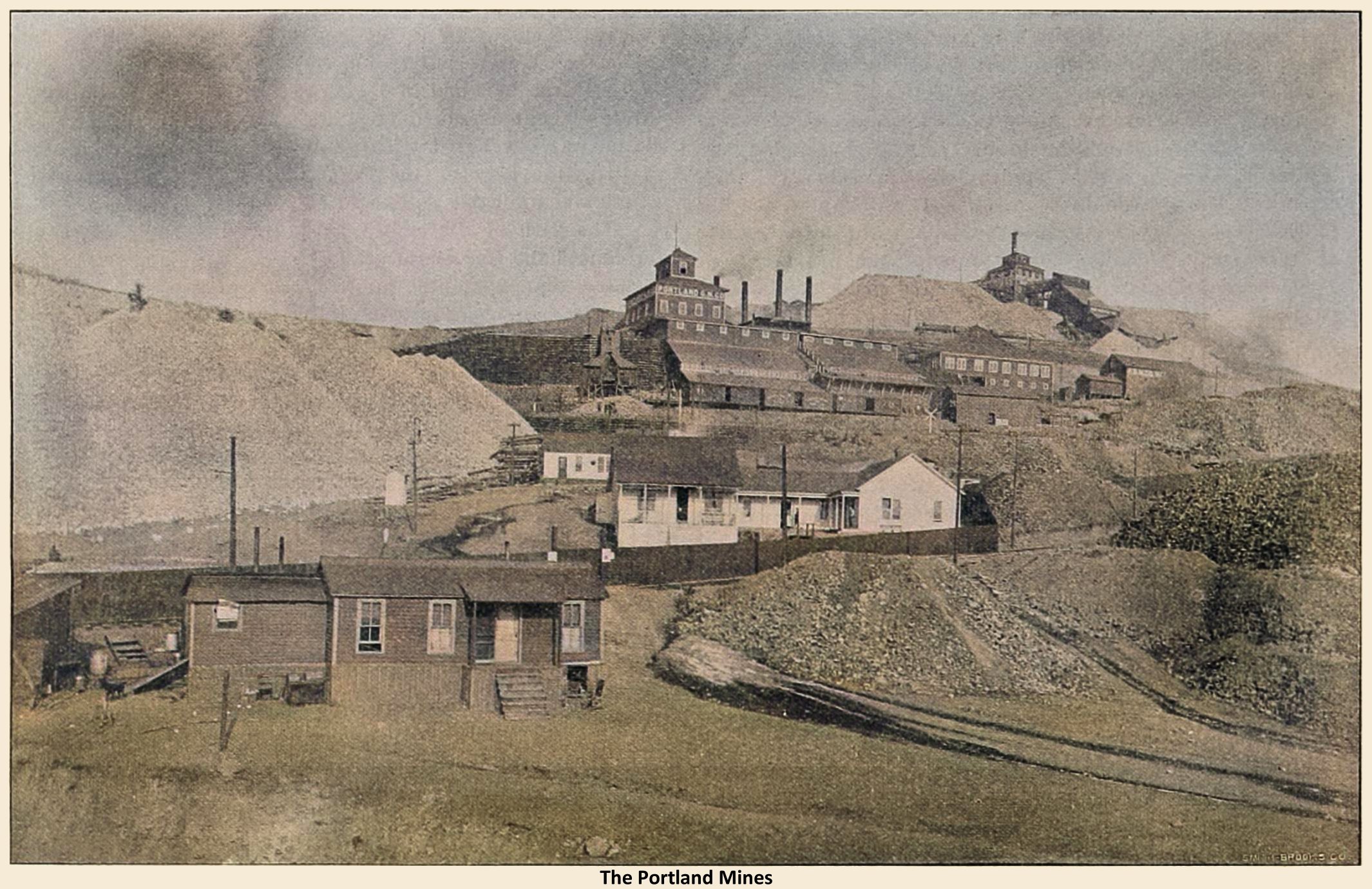
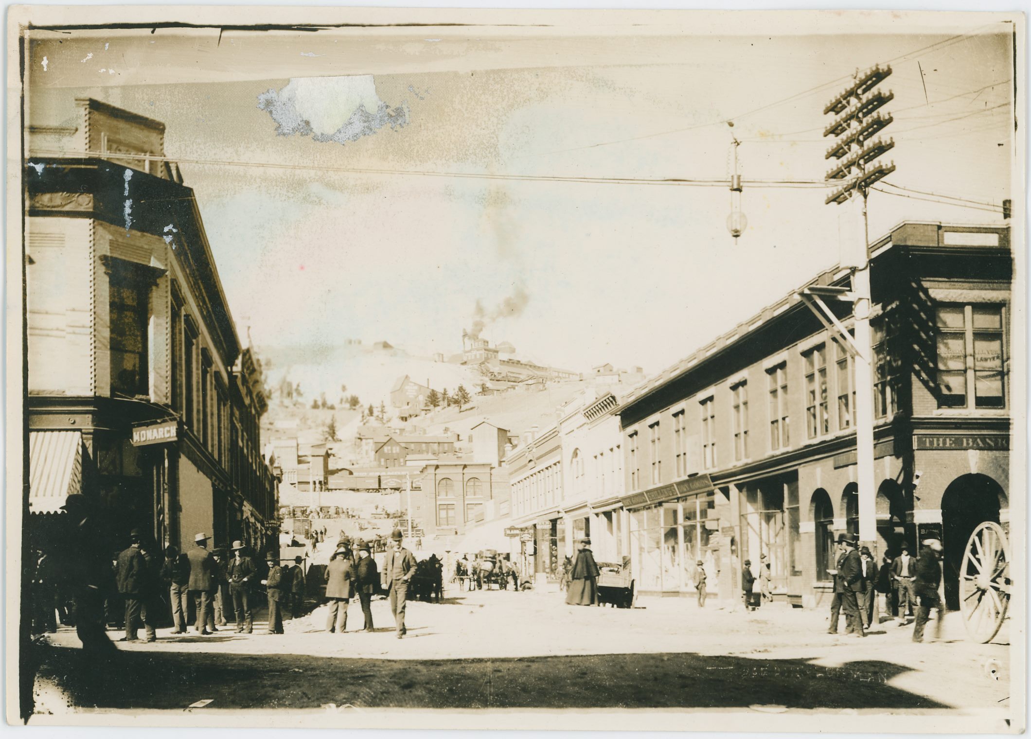
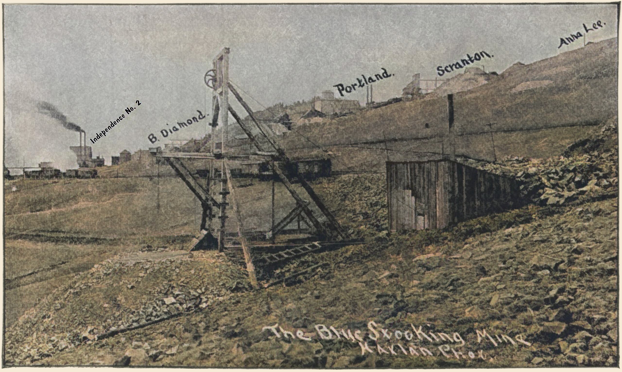
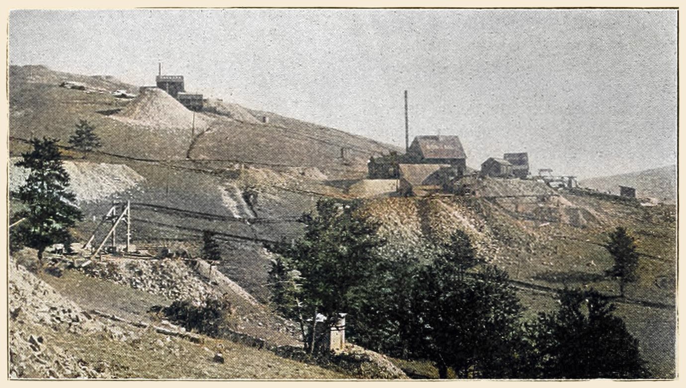


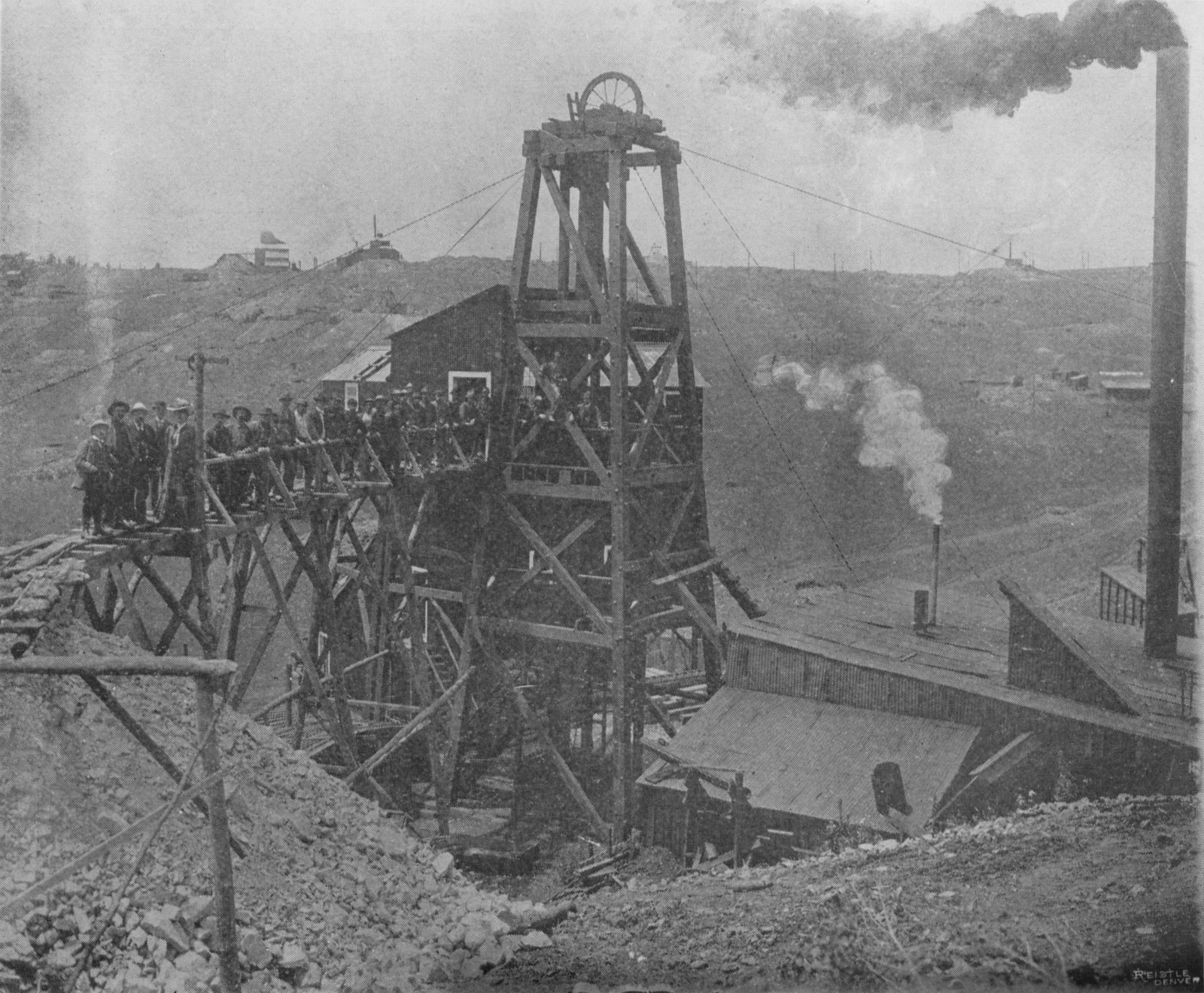
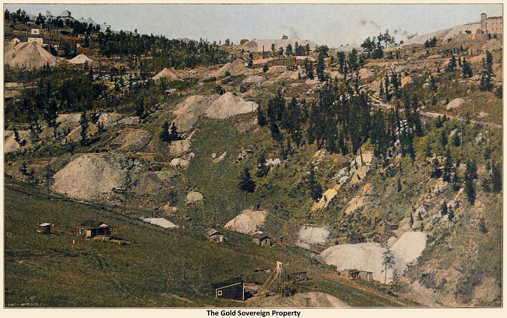
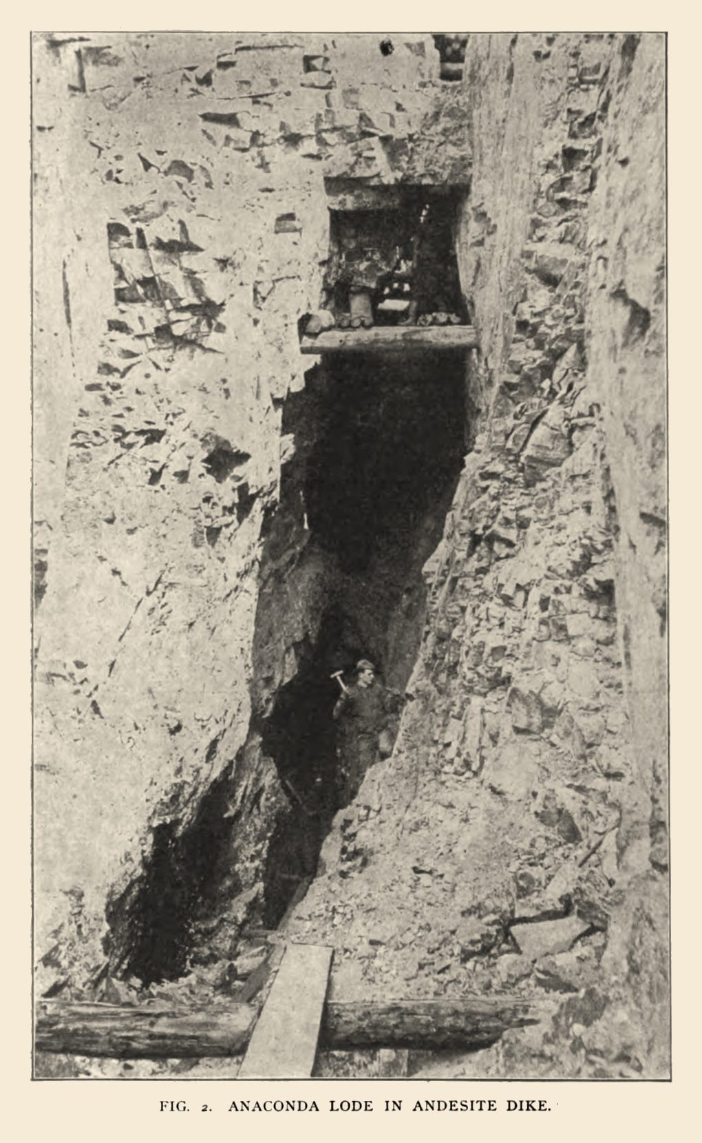
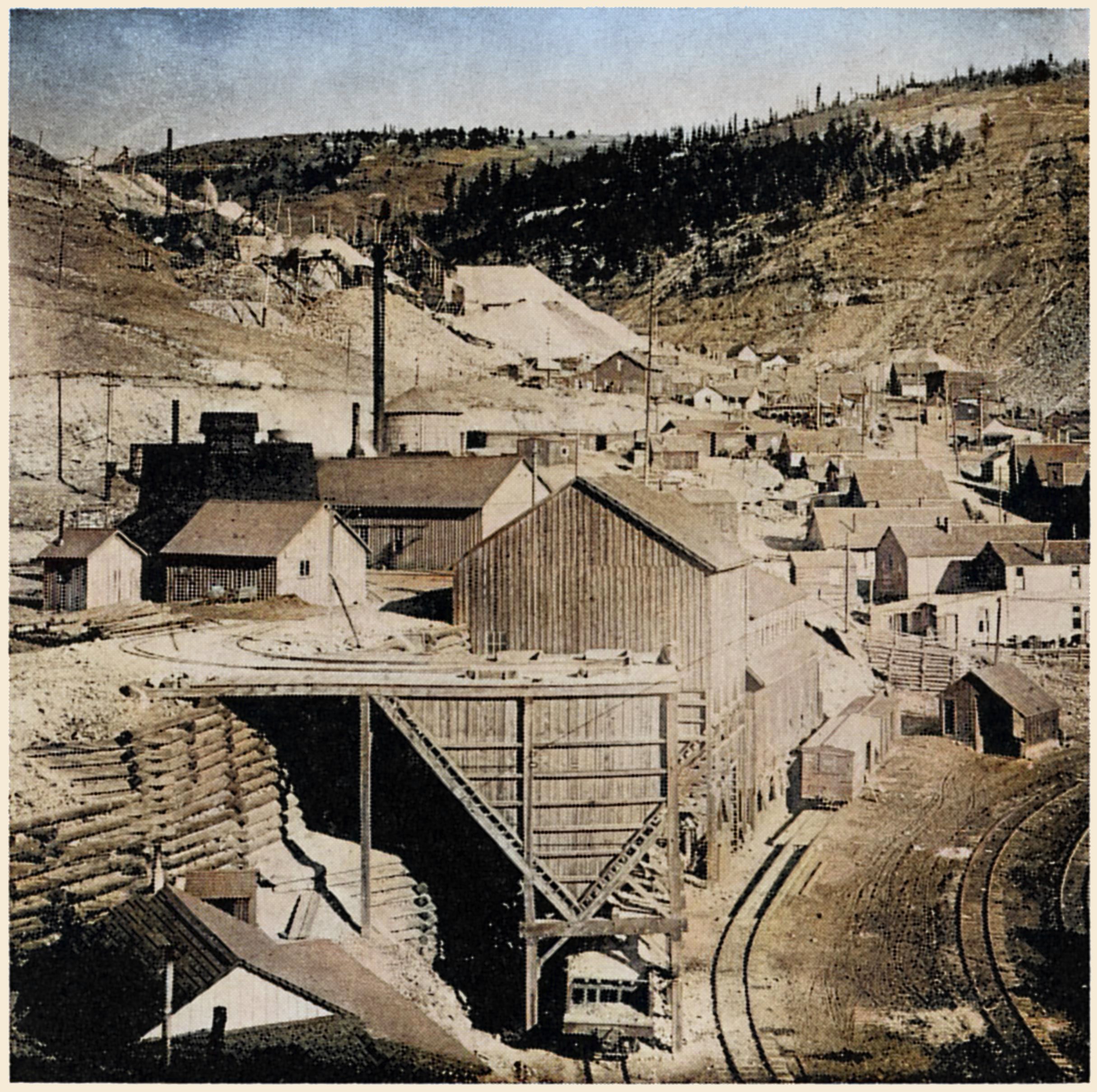

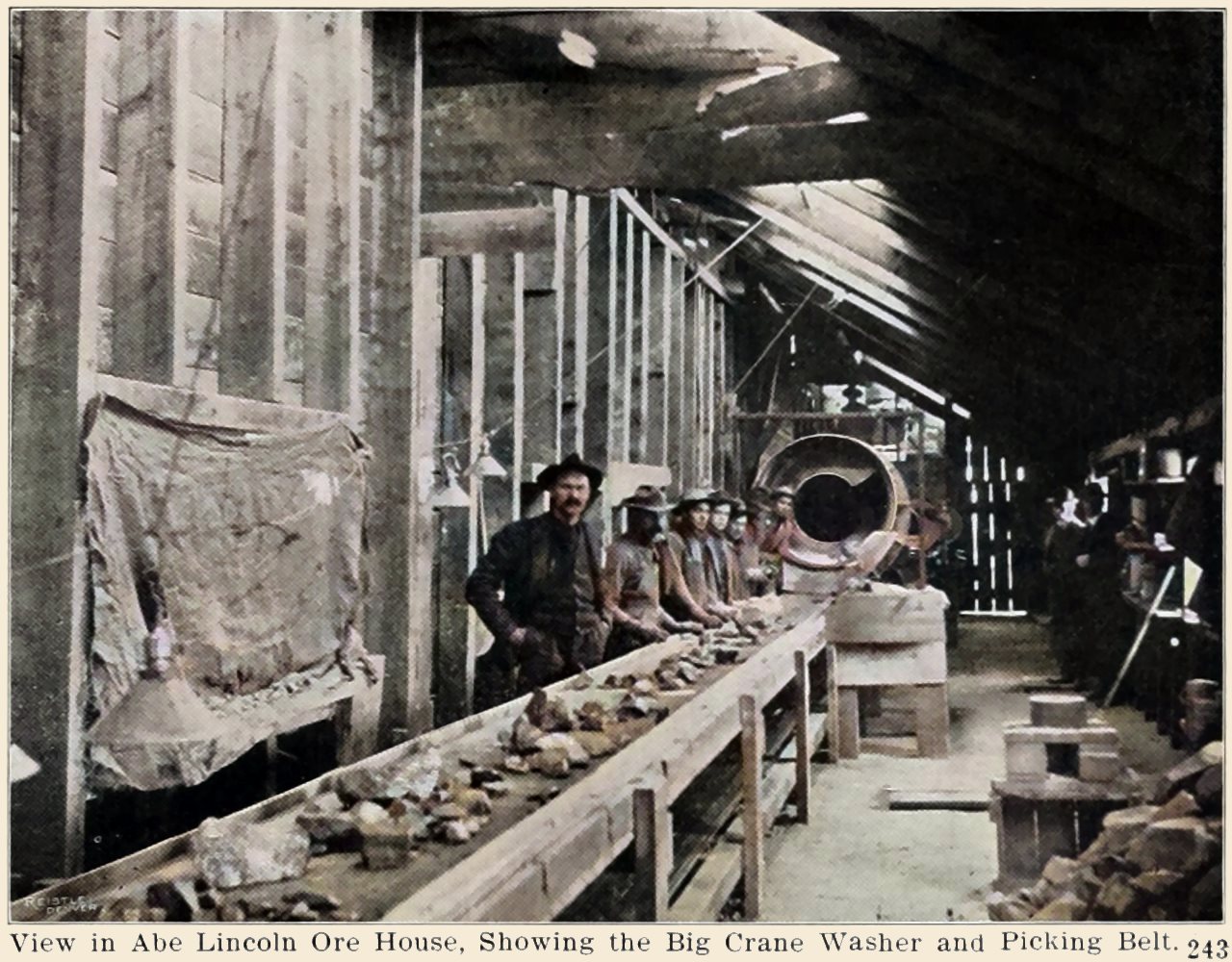
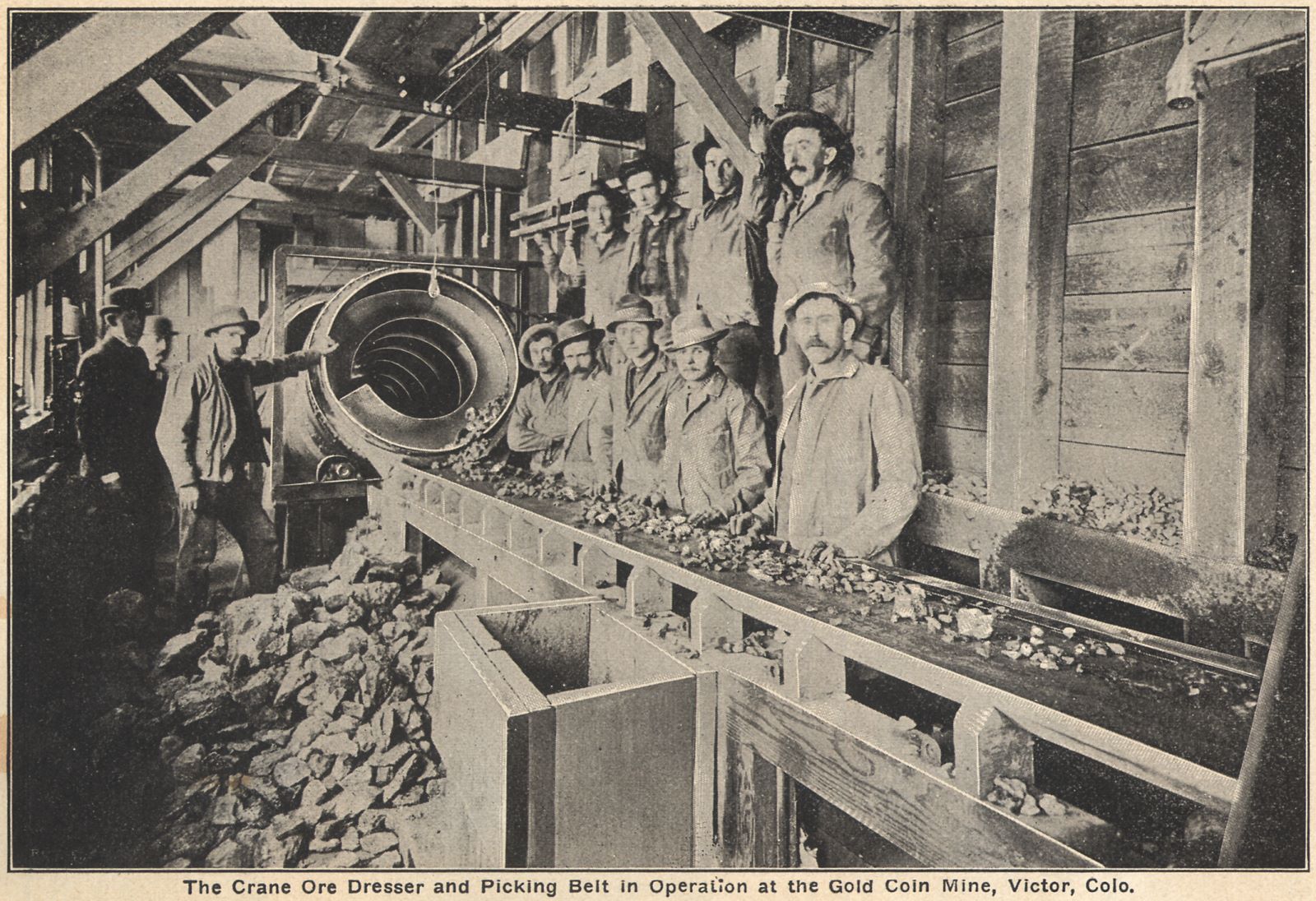
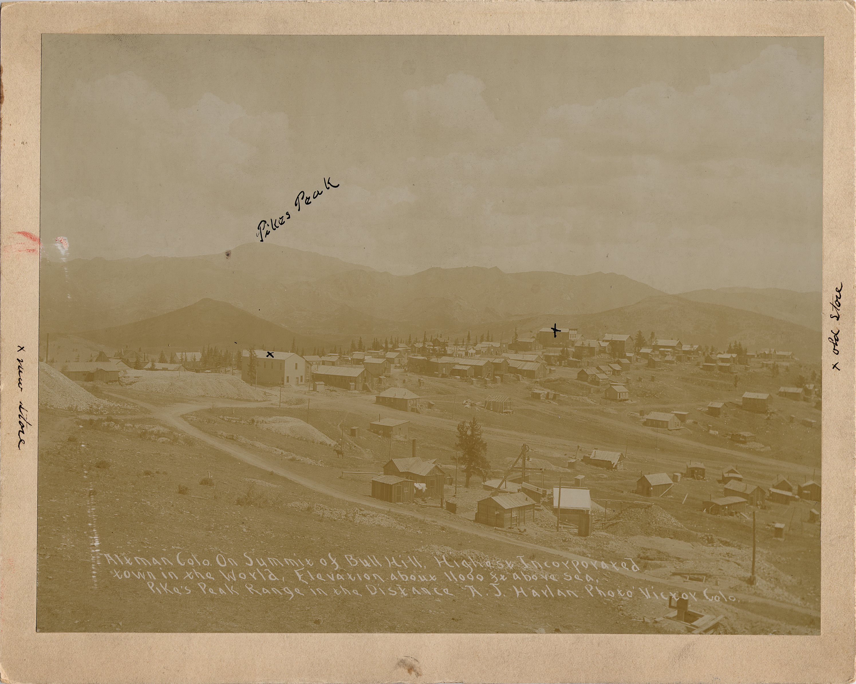
-strght-enhanced-colored.jpg)
-colored.jpg)
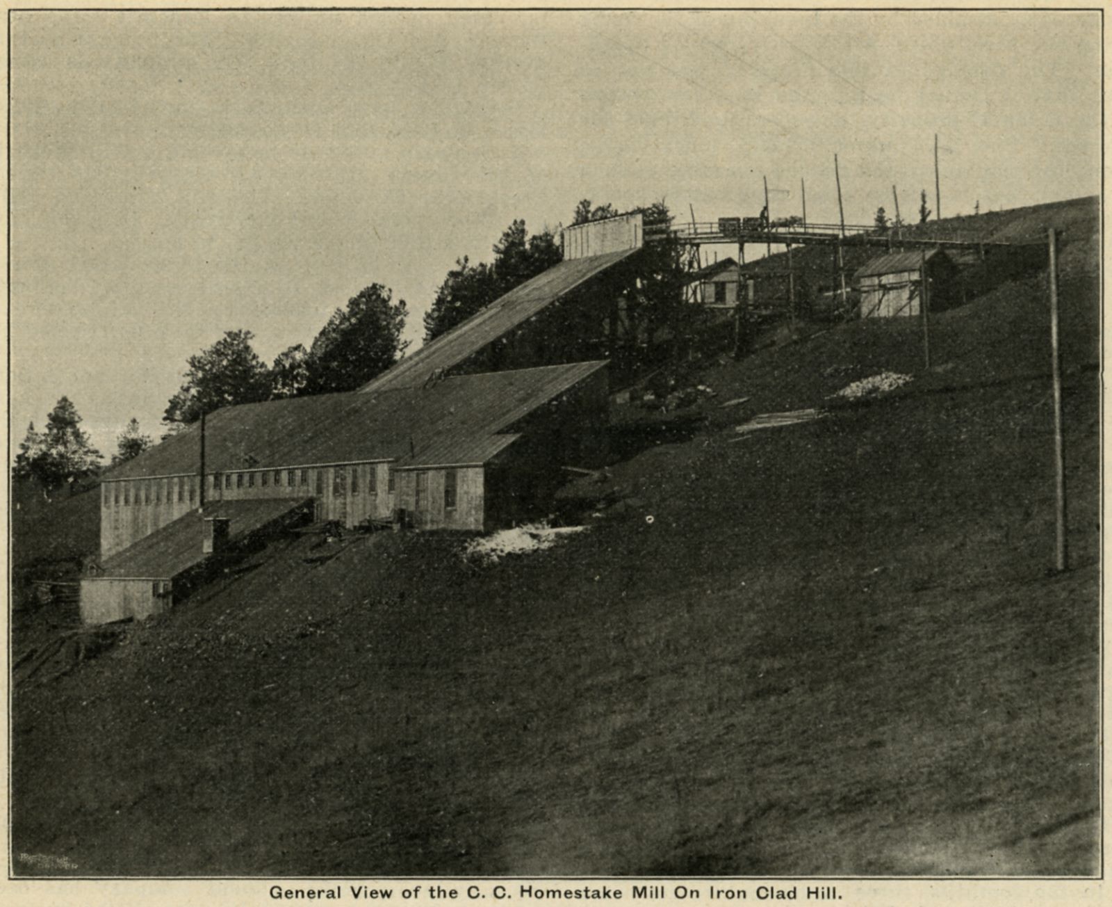
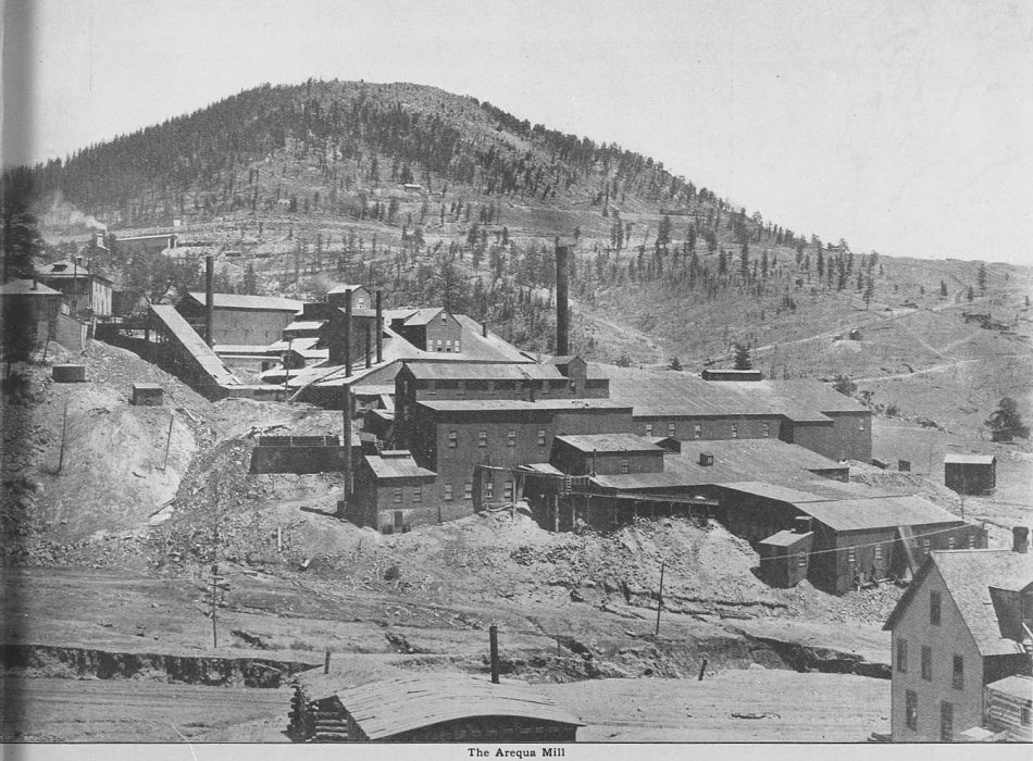
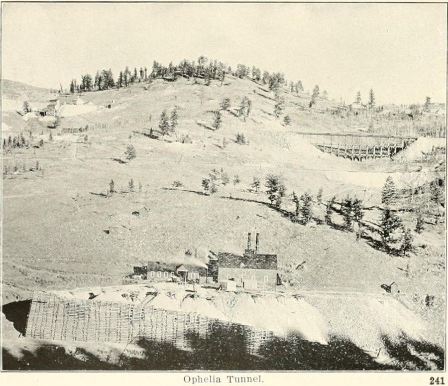
_web-colored.jpg)
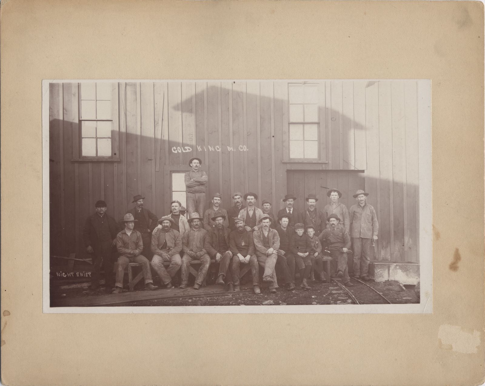
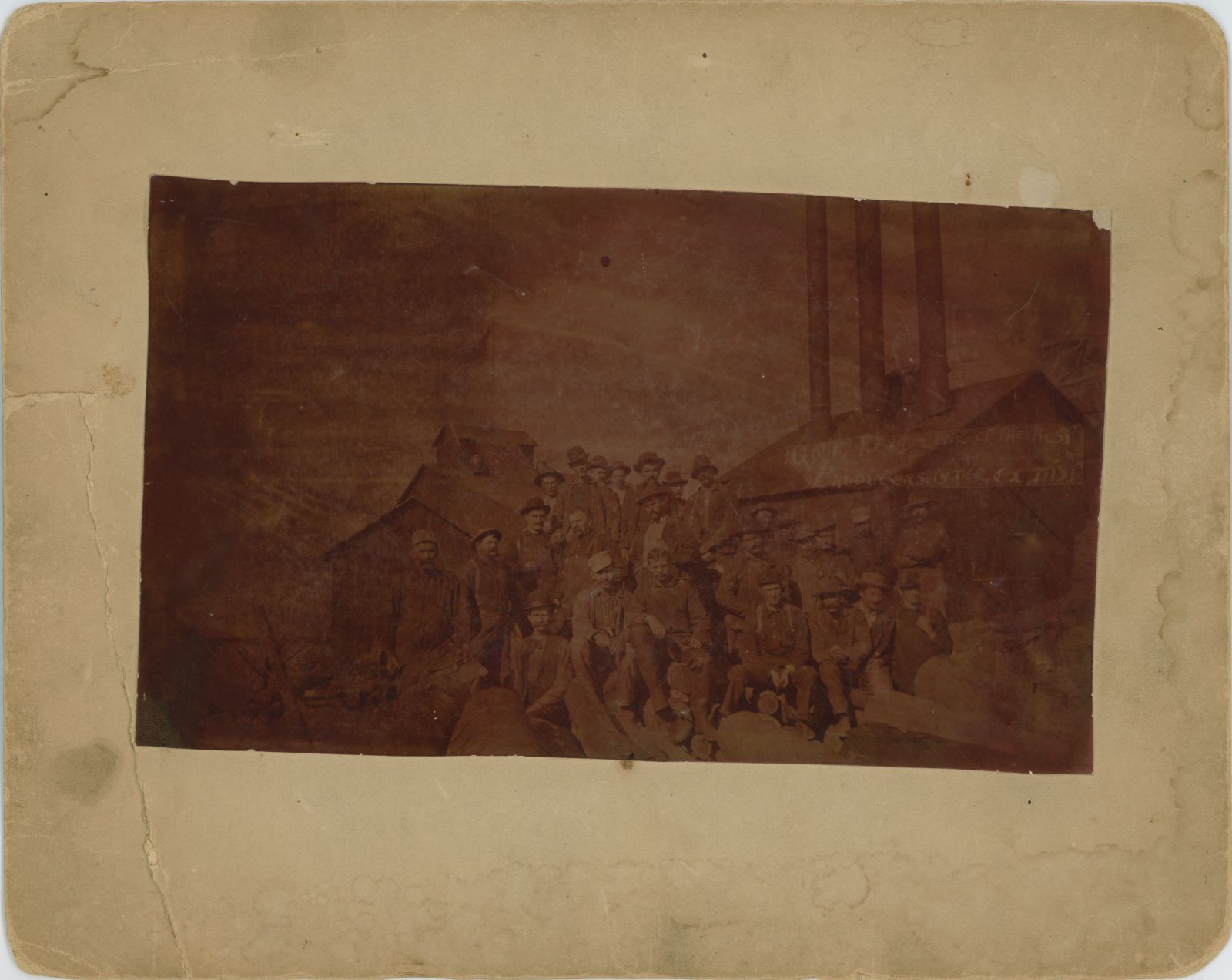
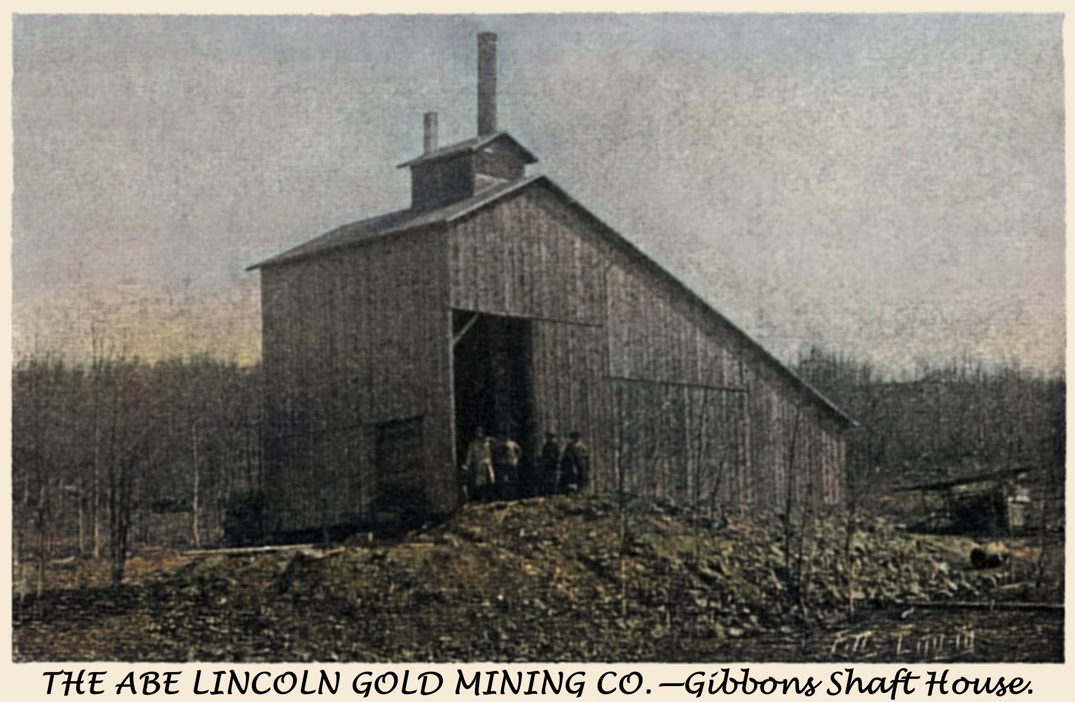
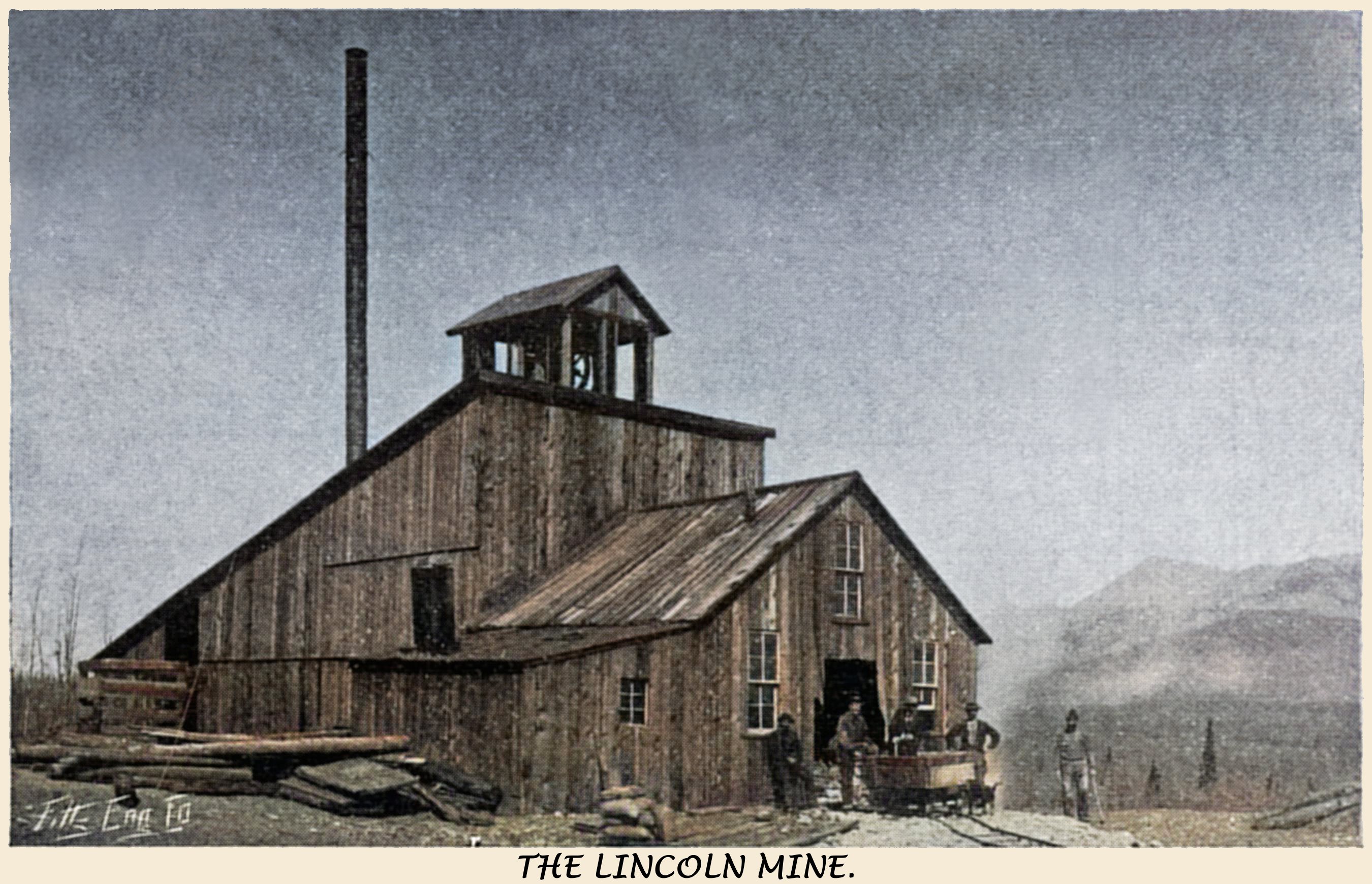
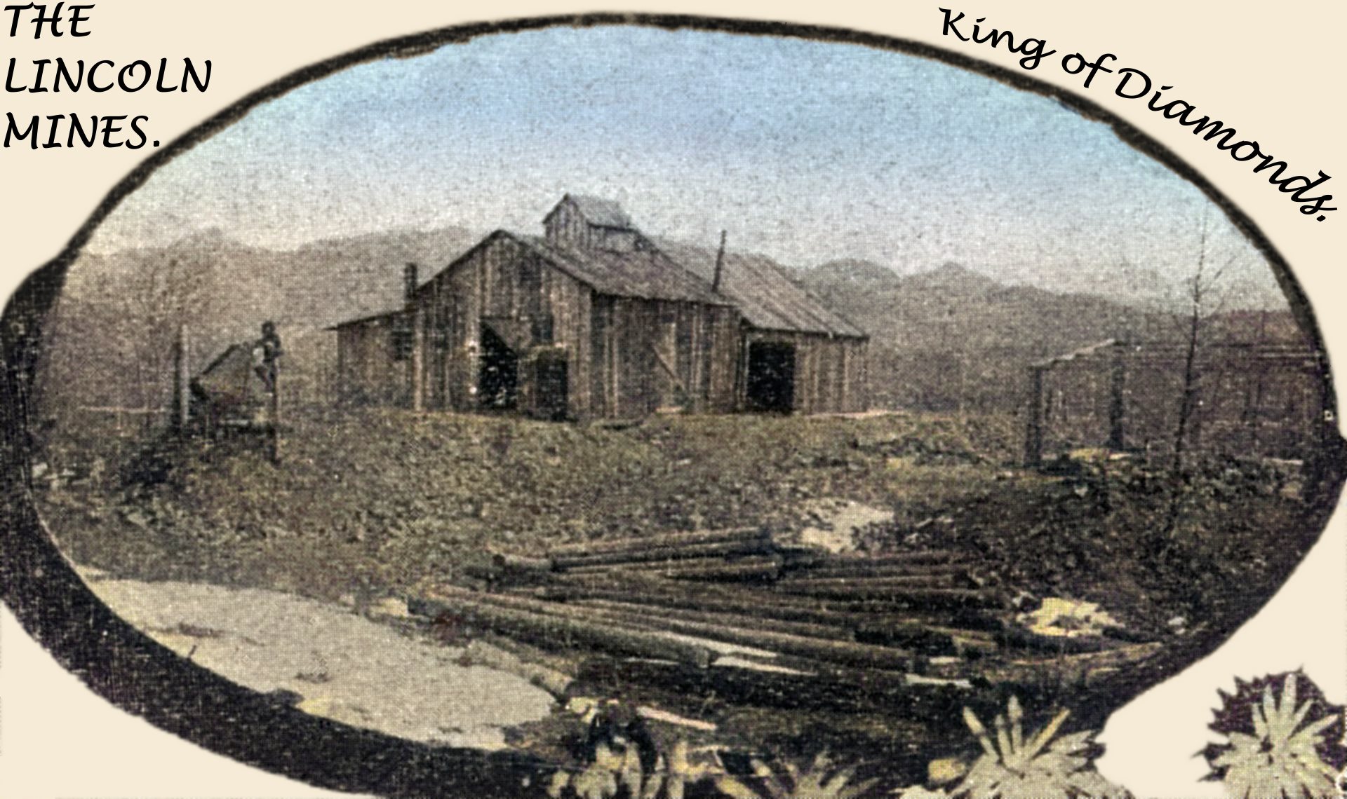
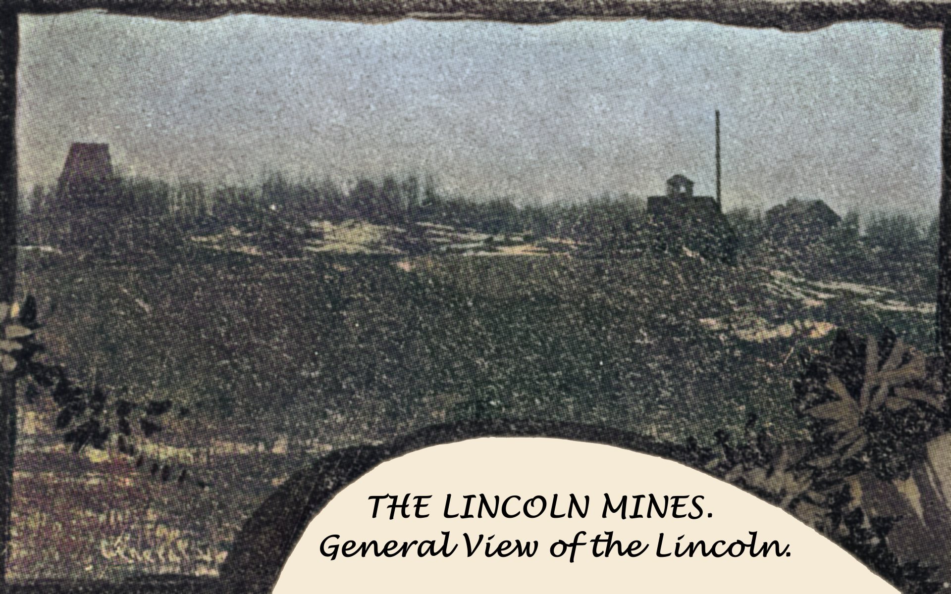
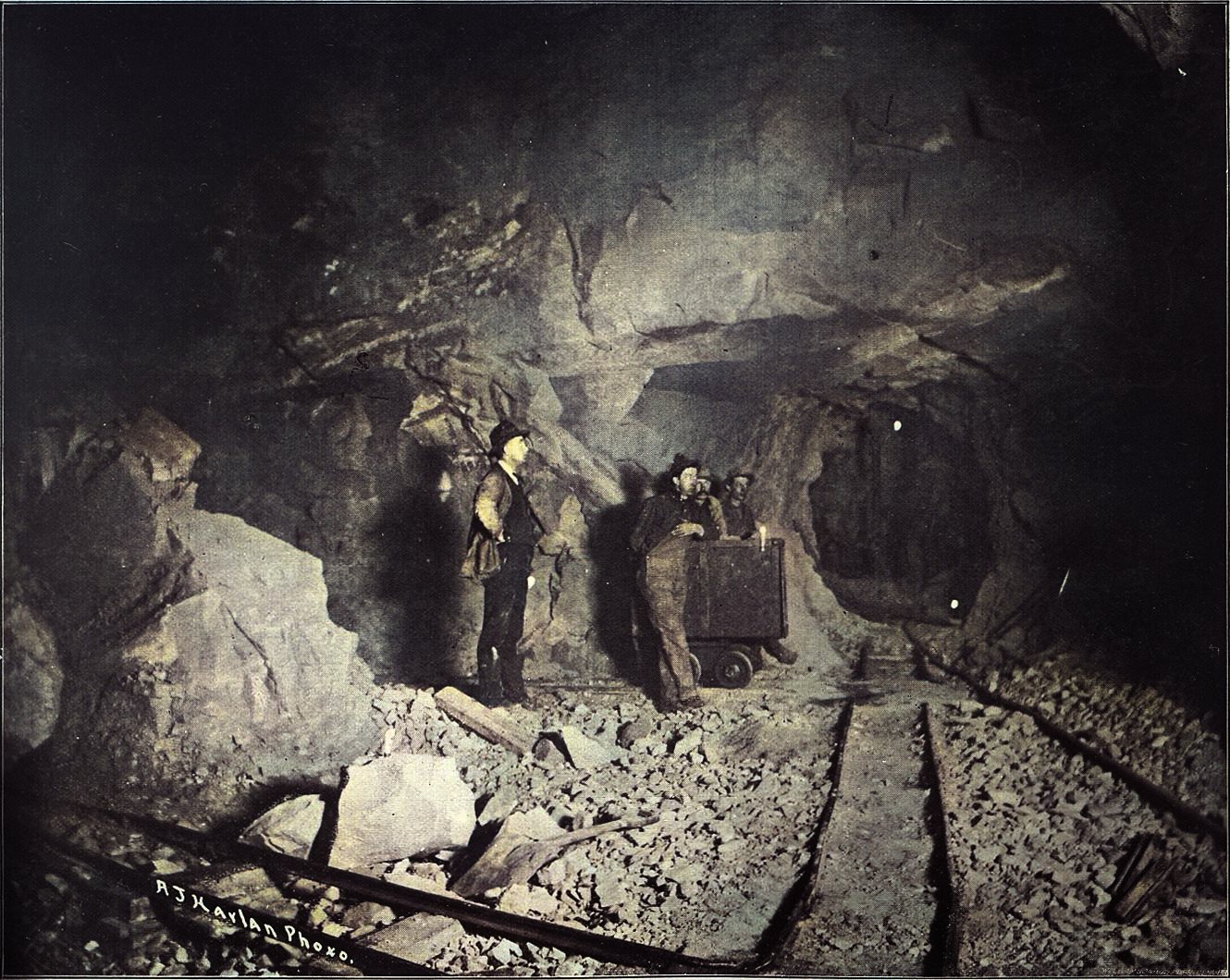
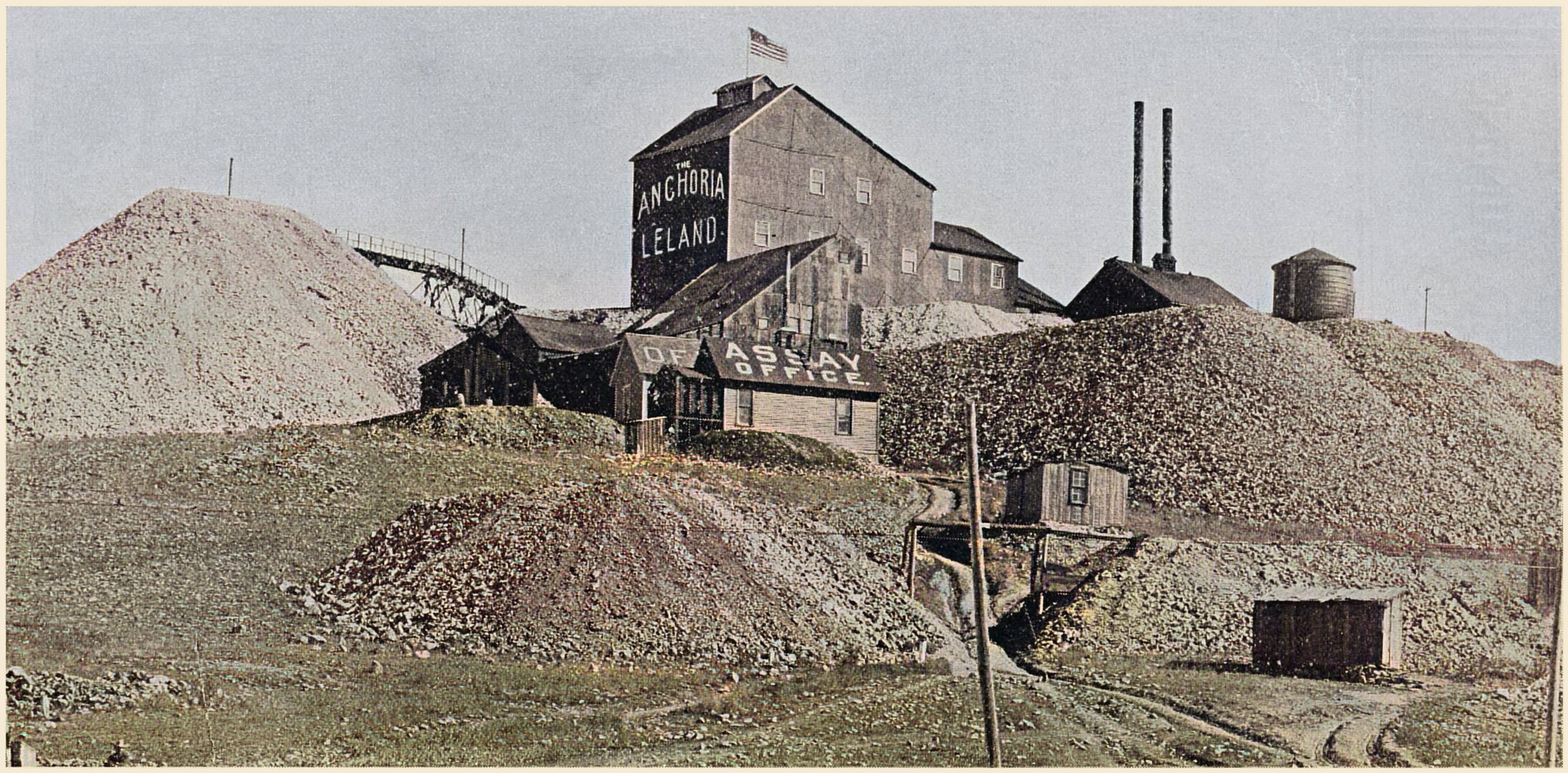
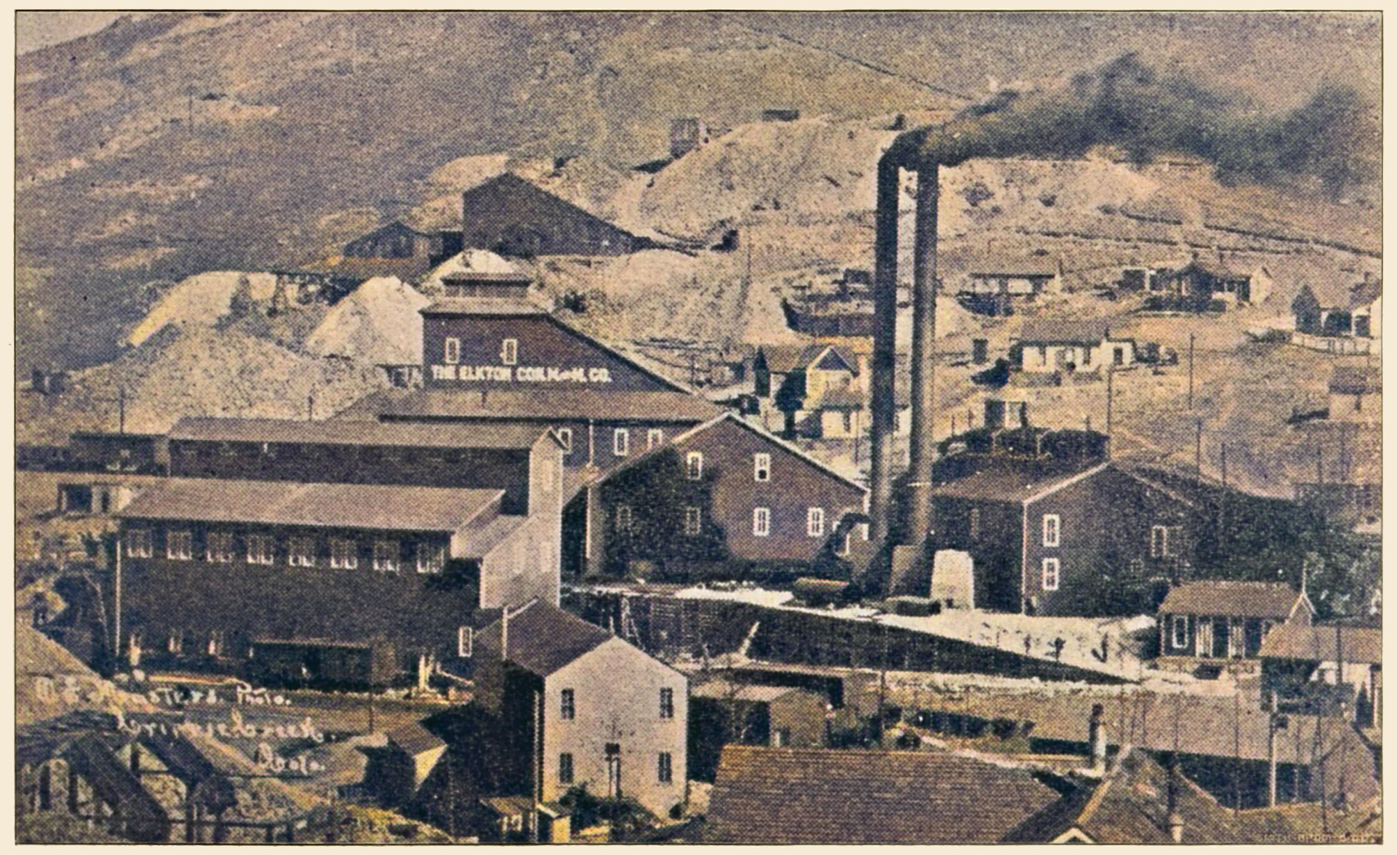
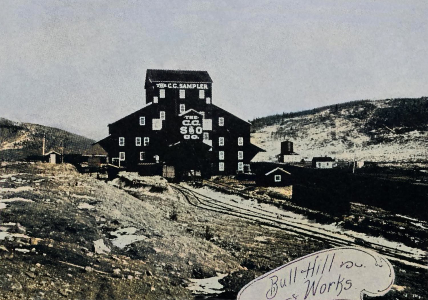
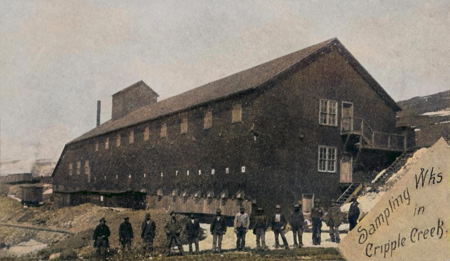
in_its_heyday_the_largest_hotel_in_colorado_frmd.jpg)
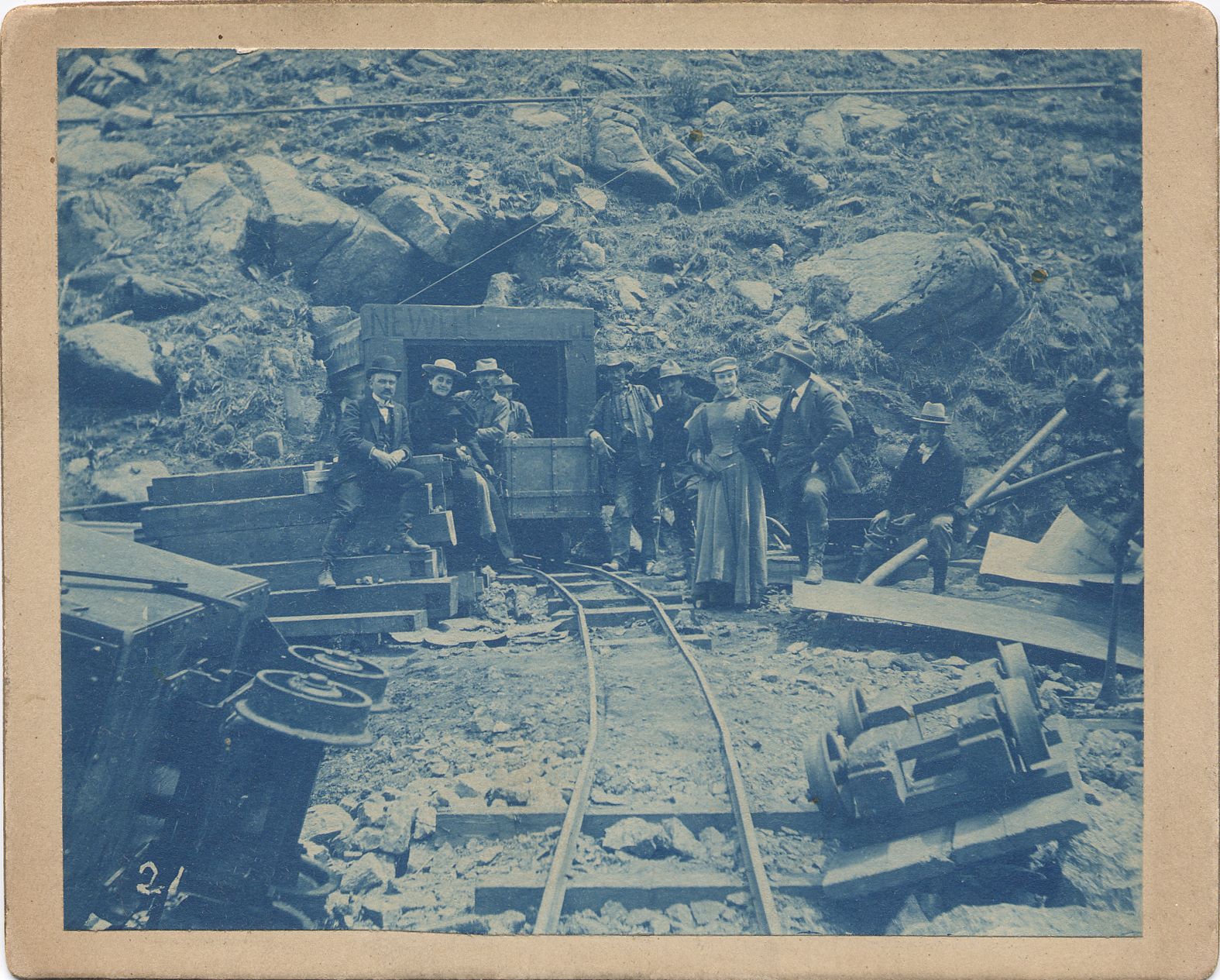

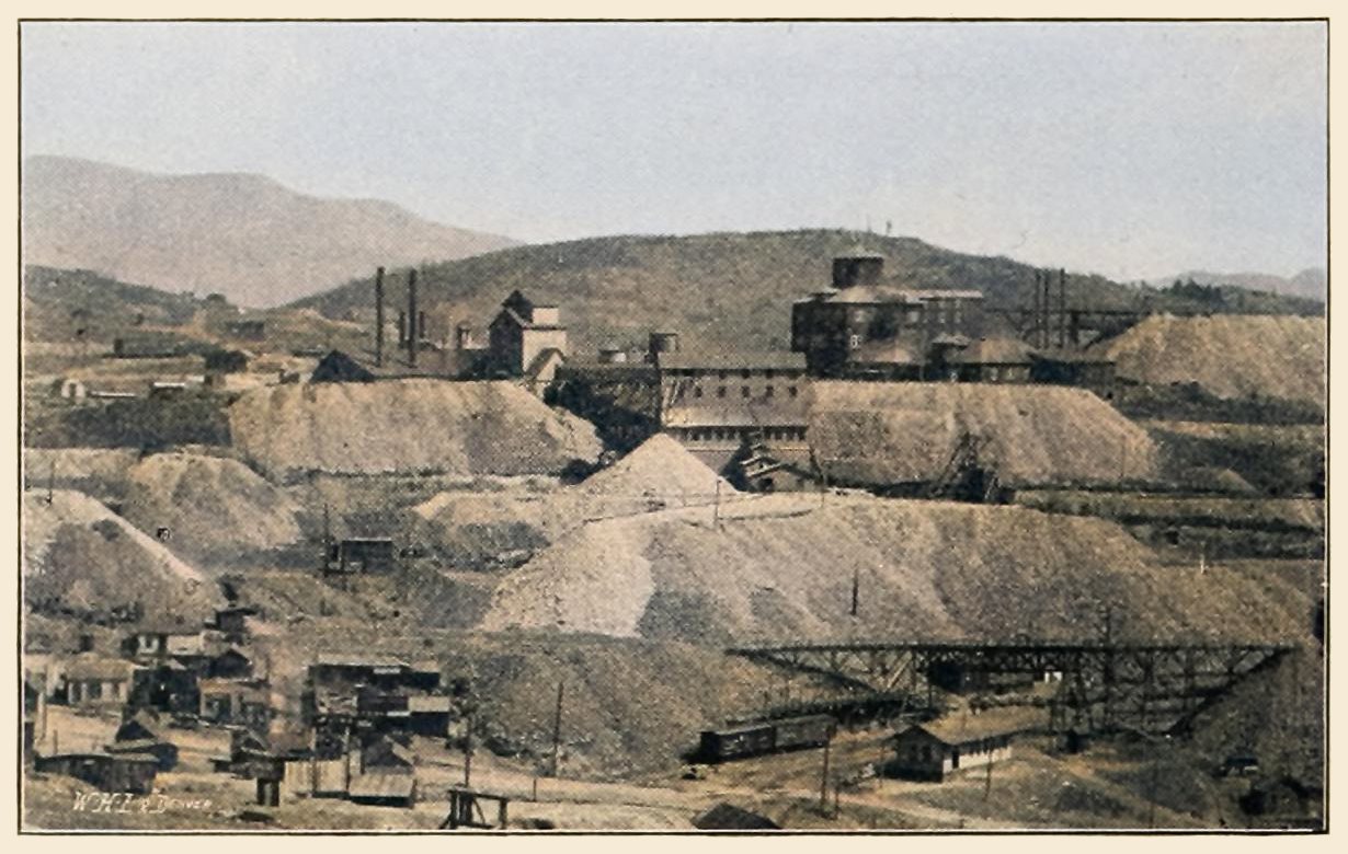
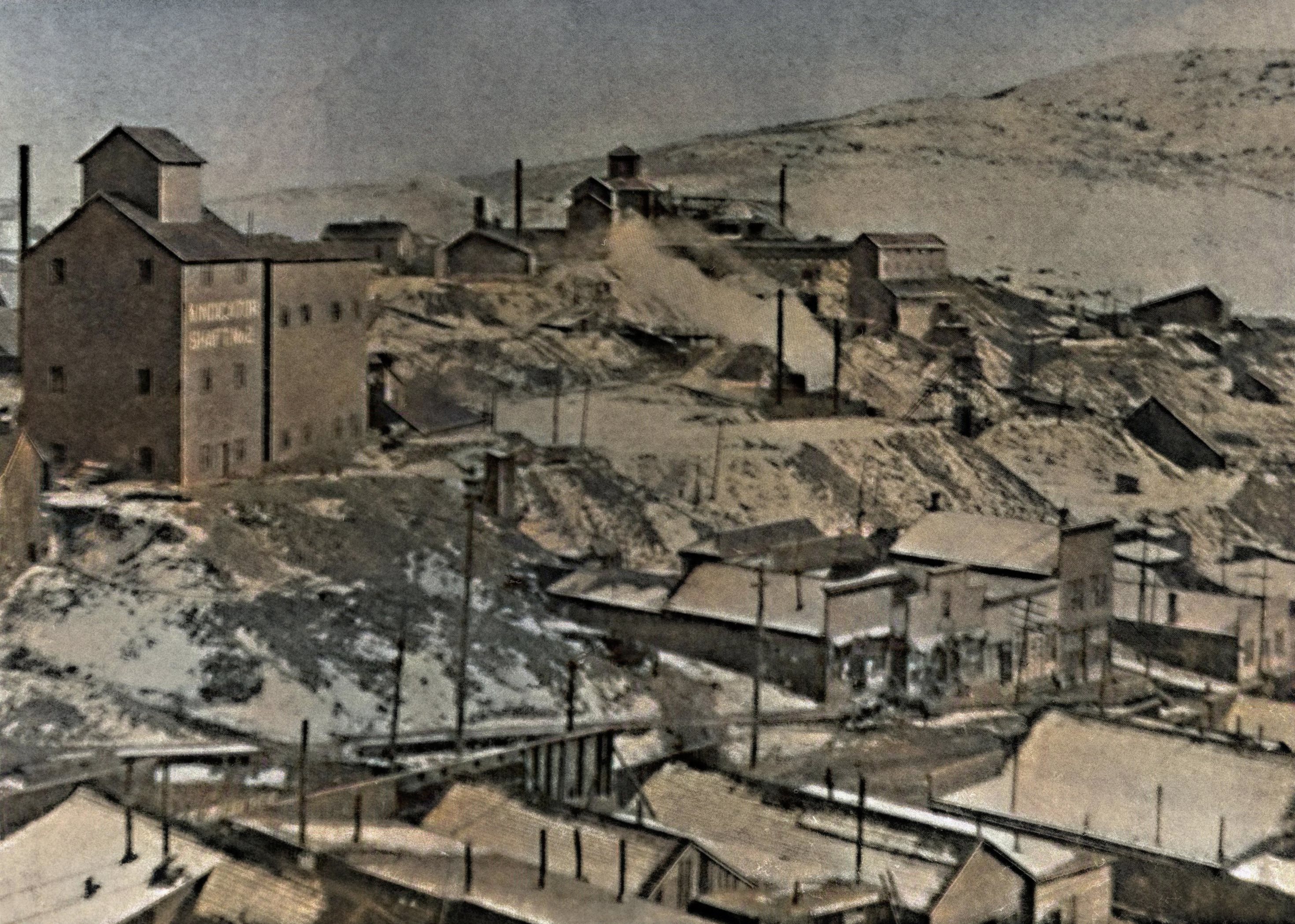
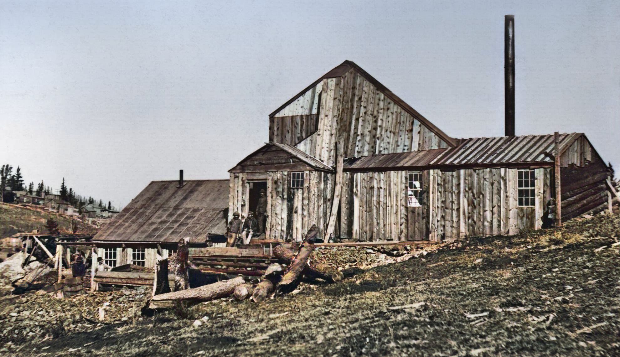
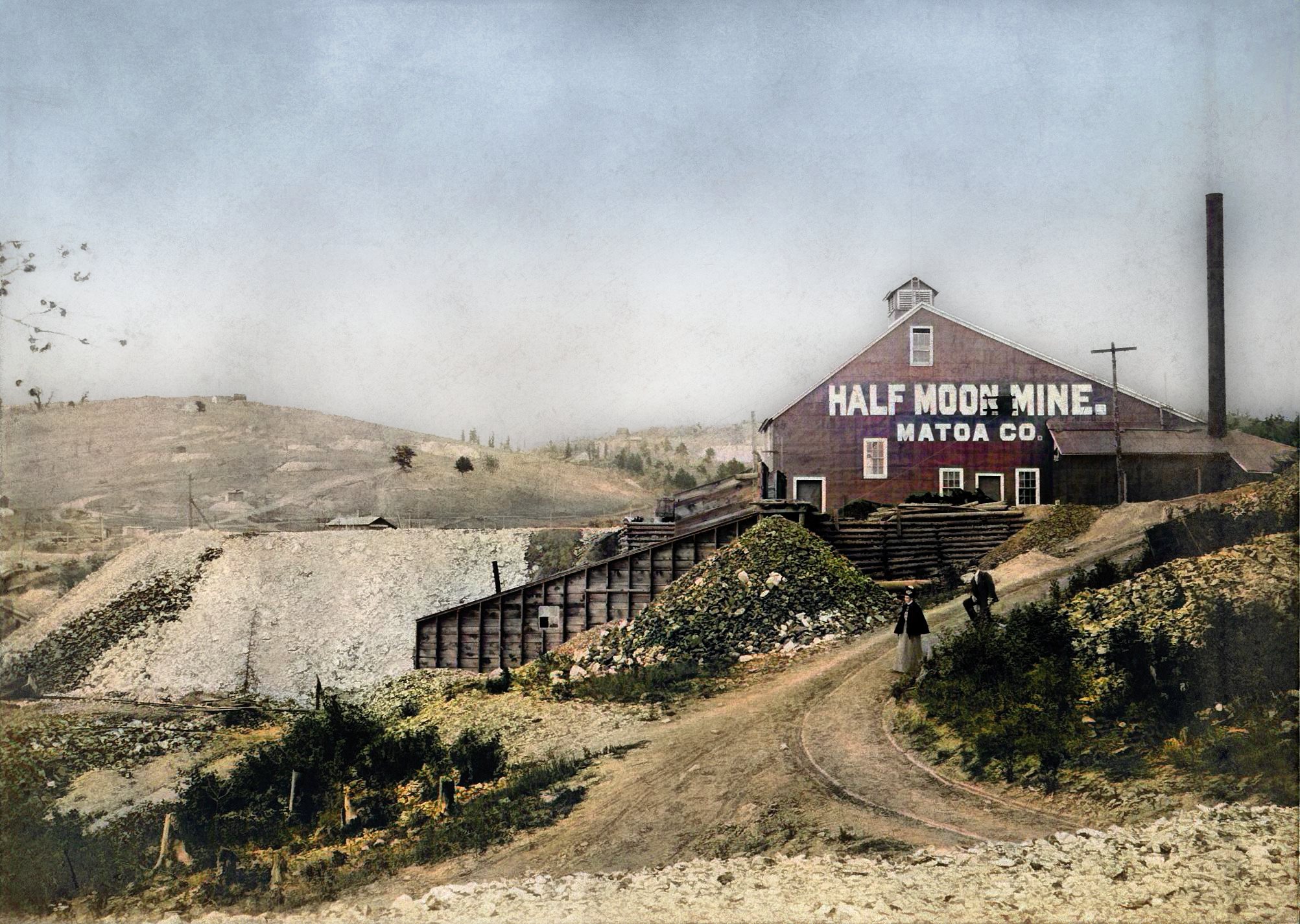
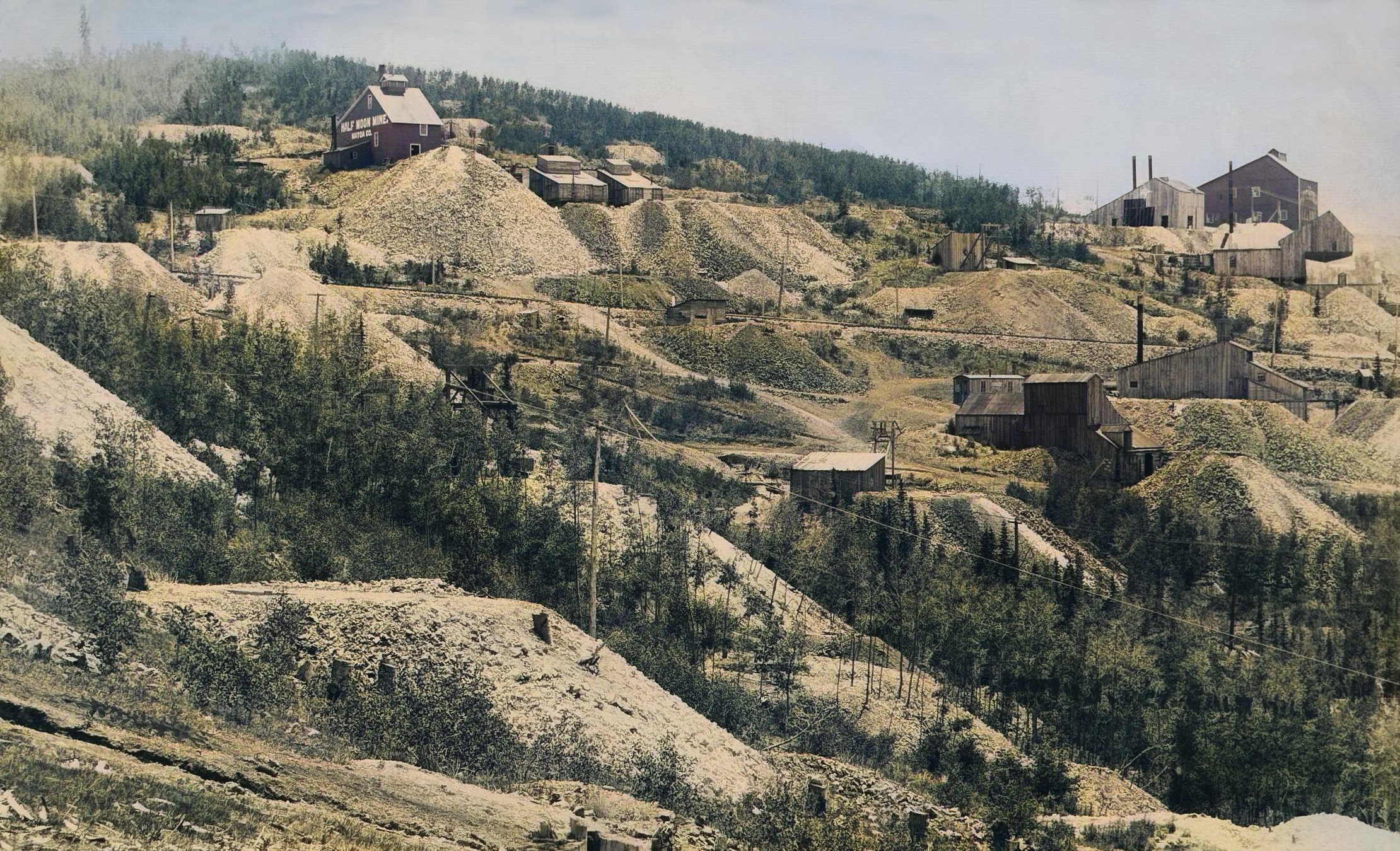
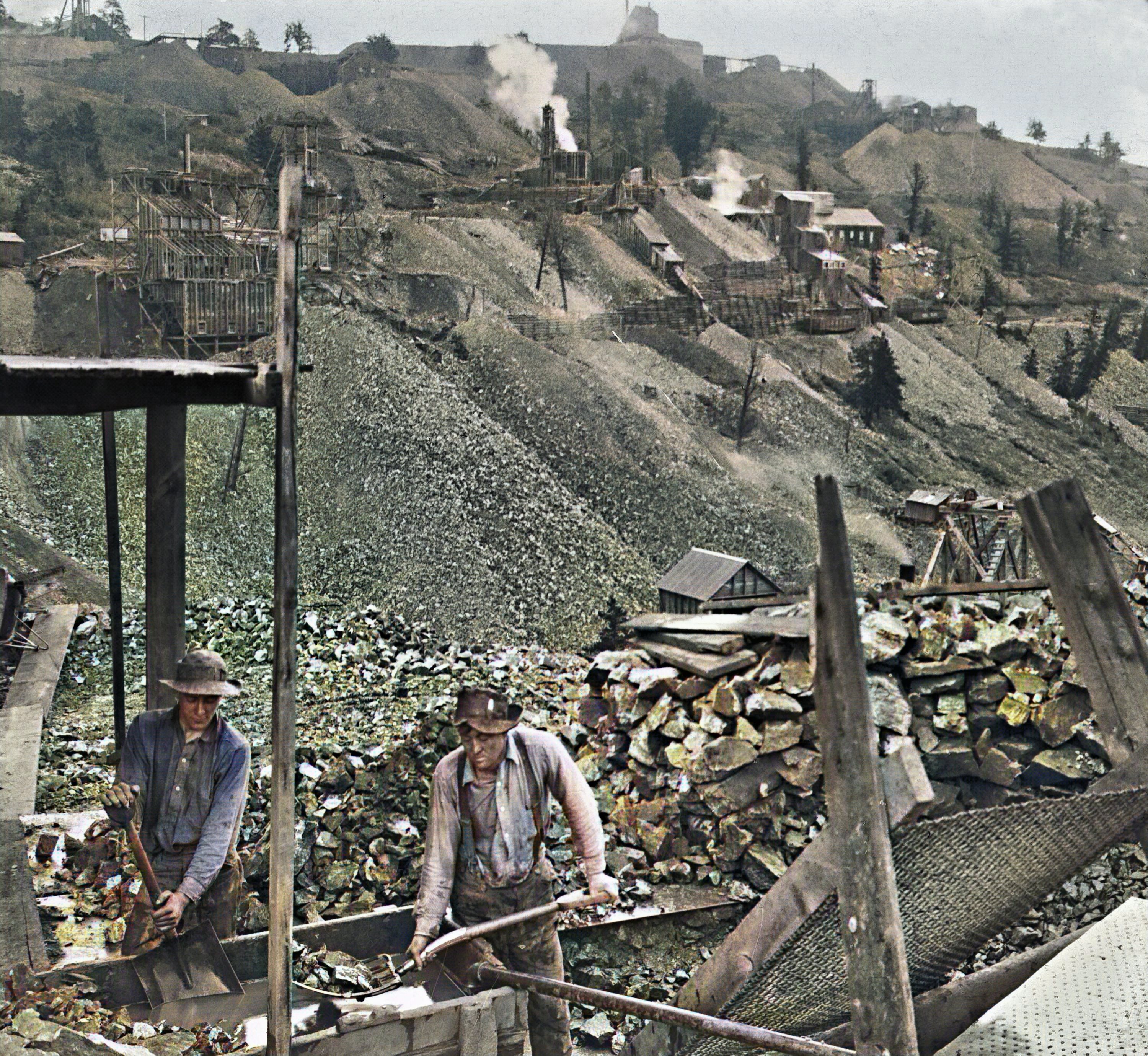

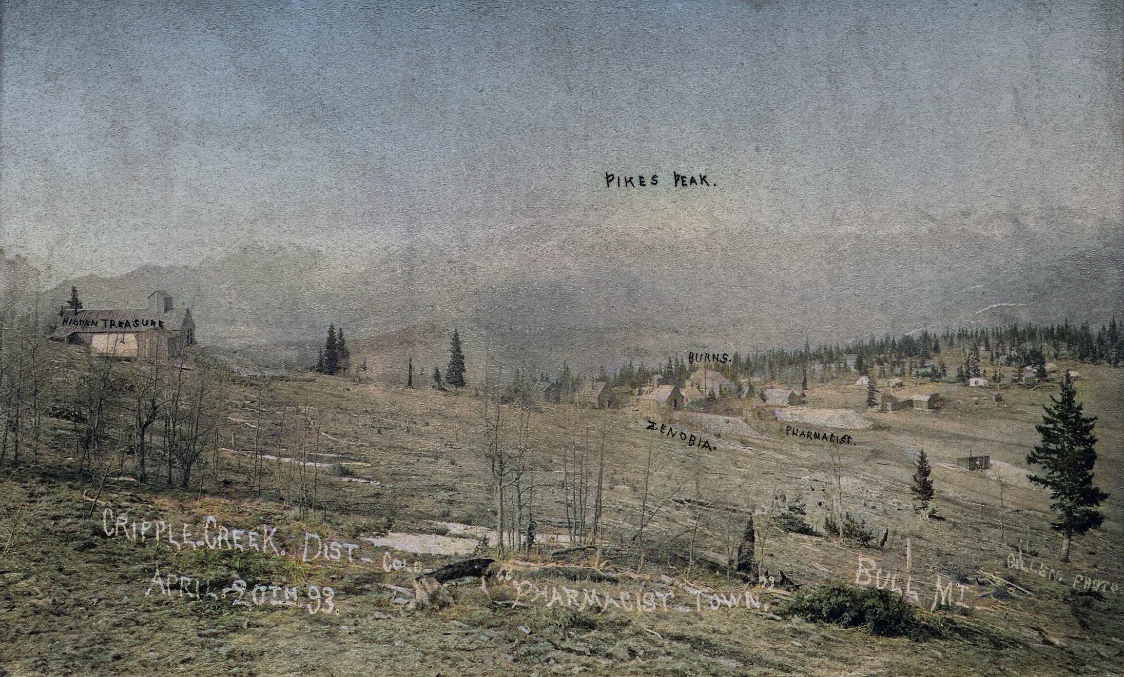
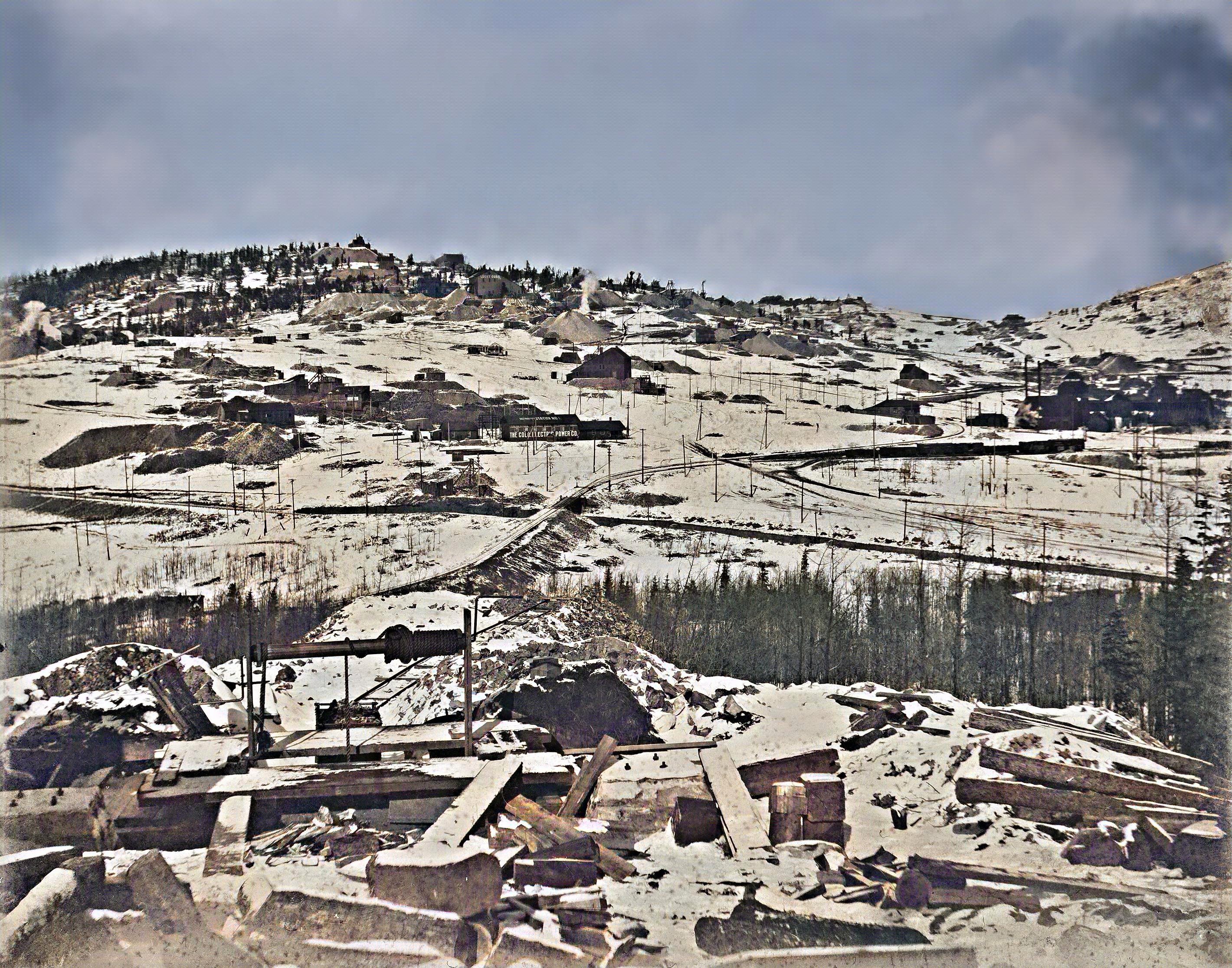
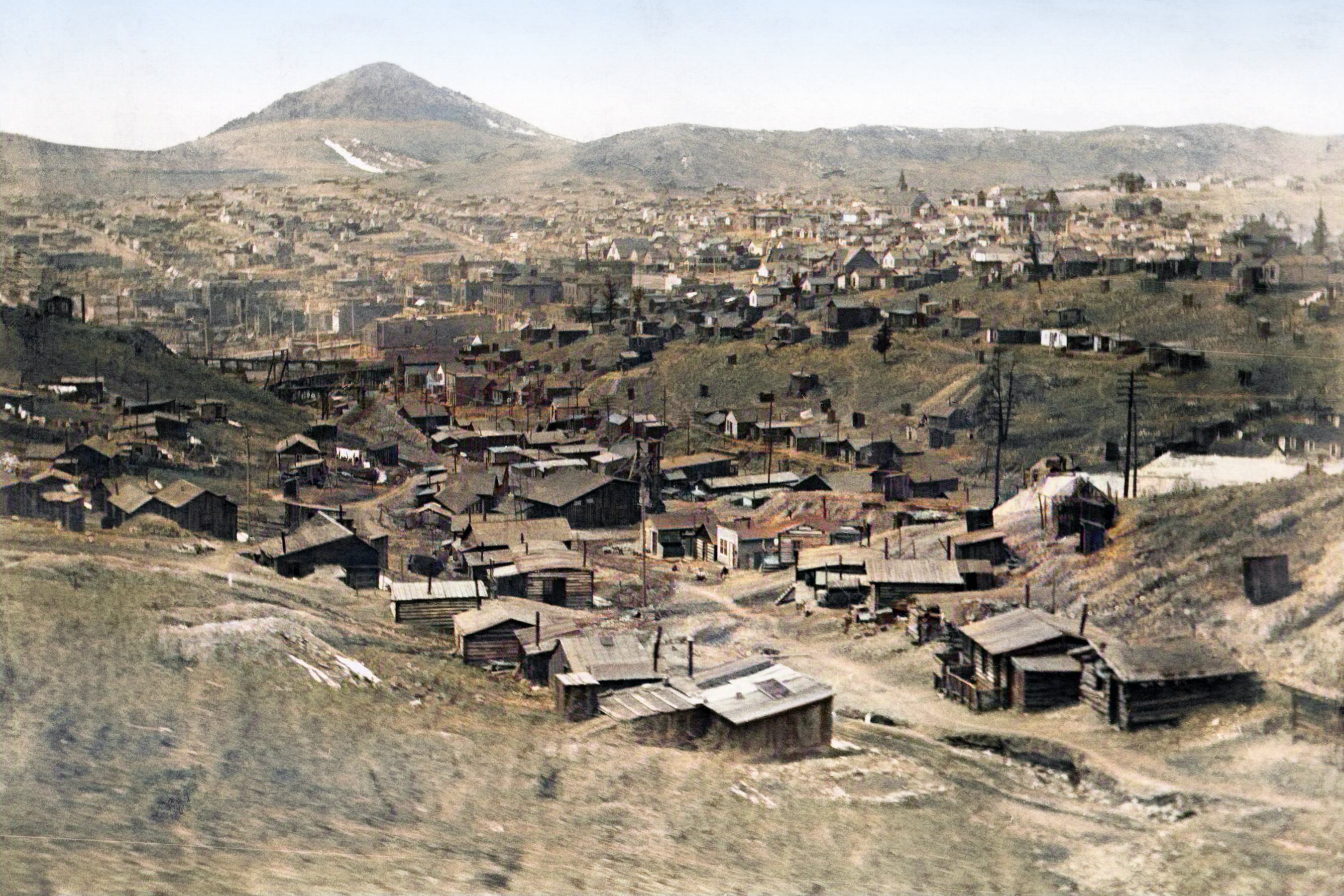

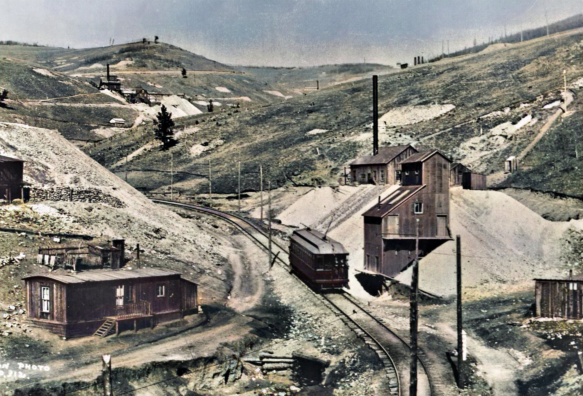
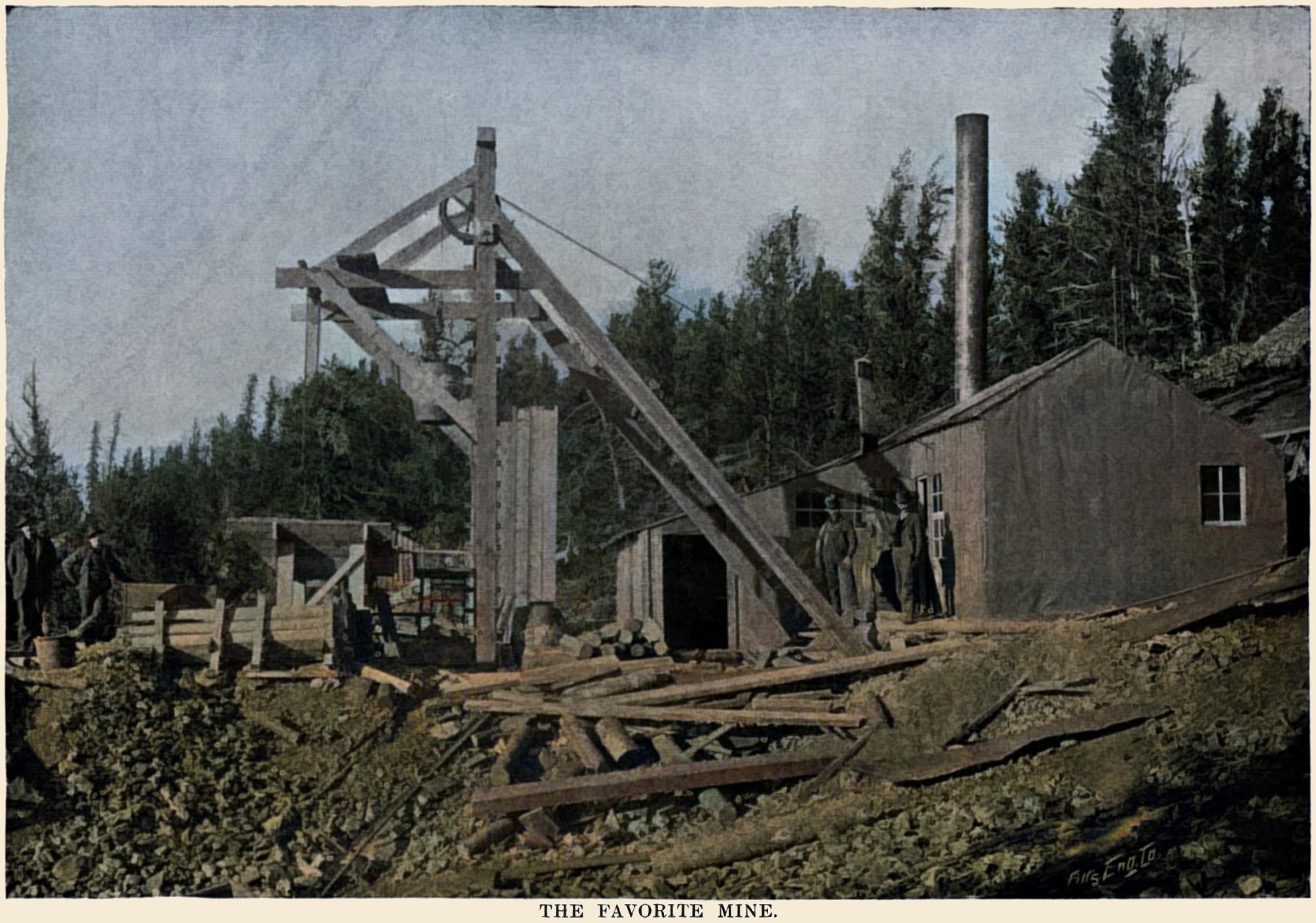
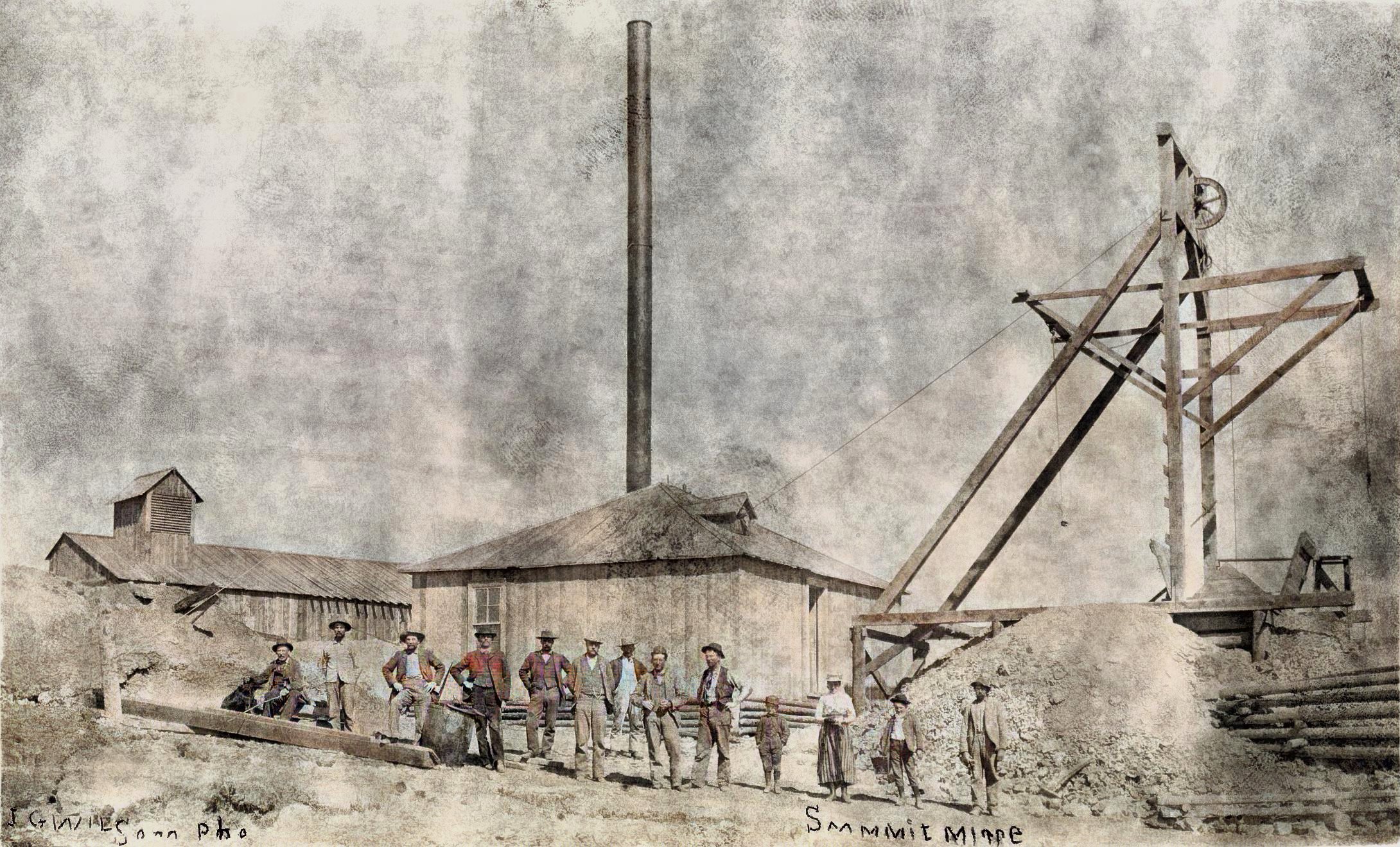
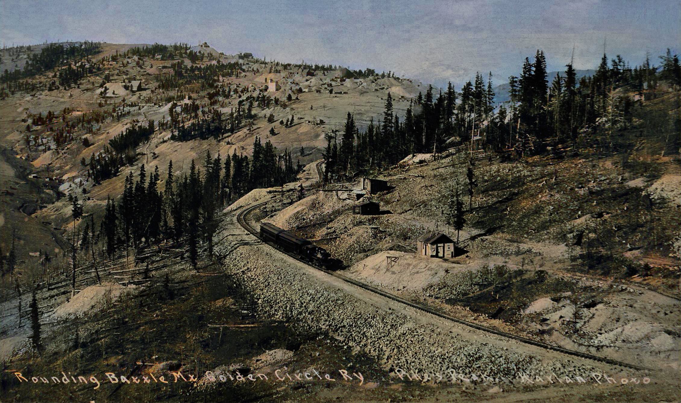
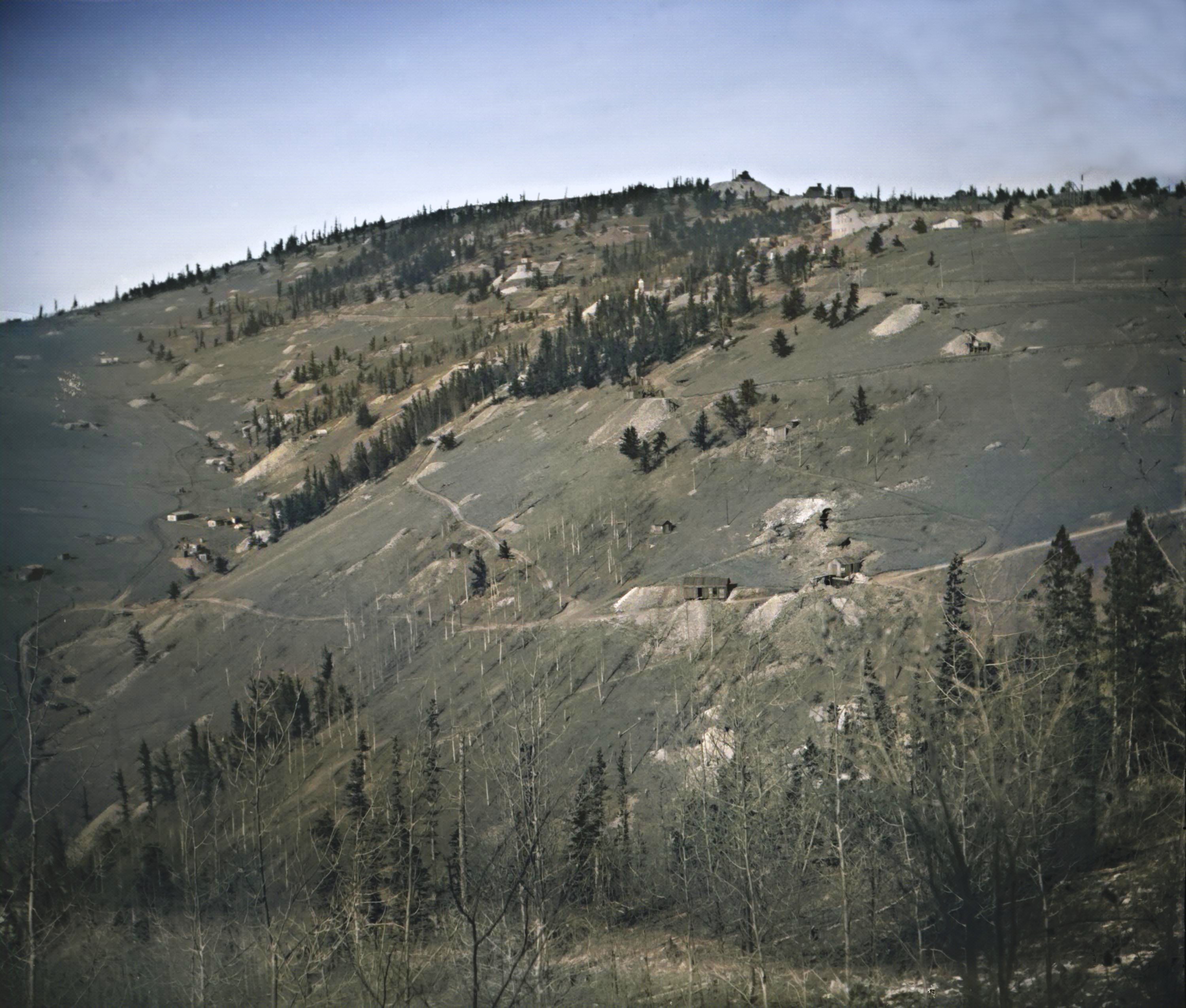
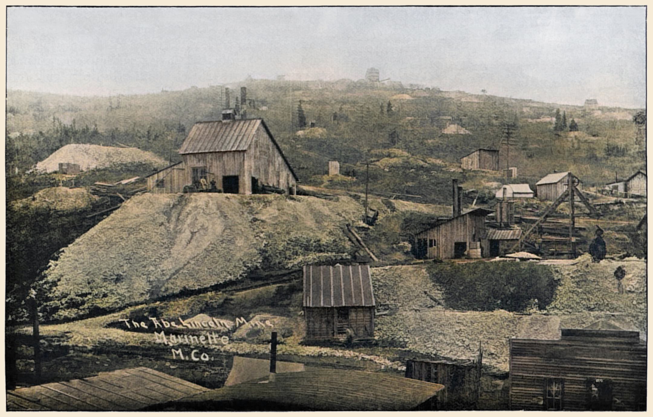
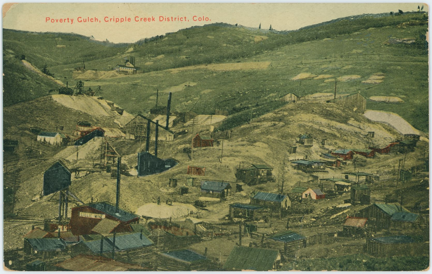
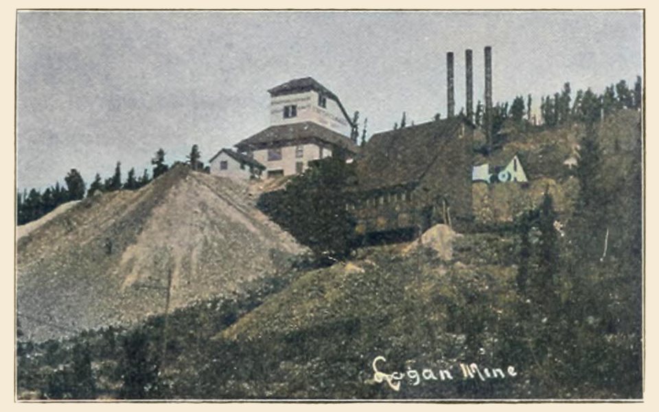
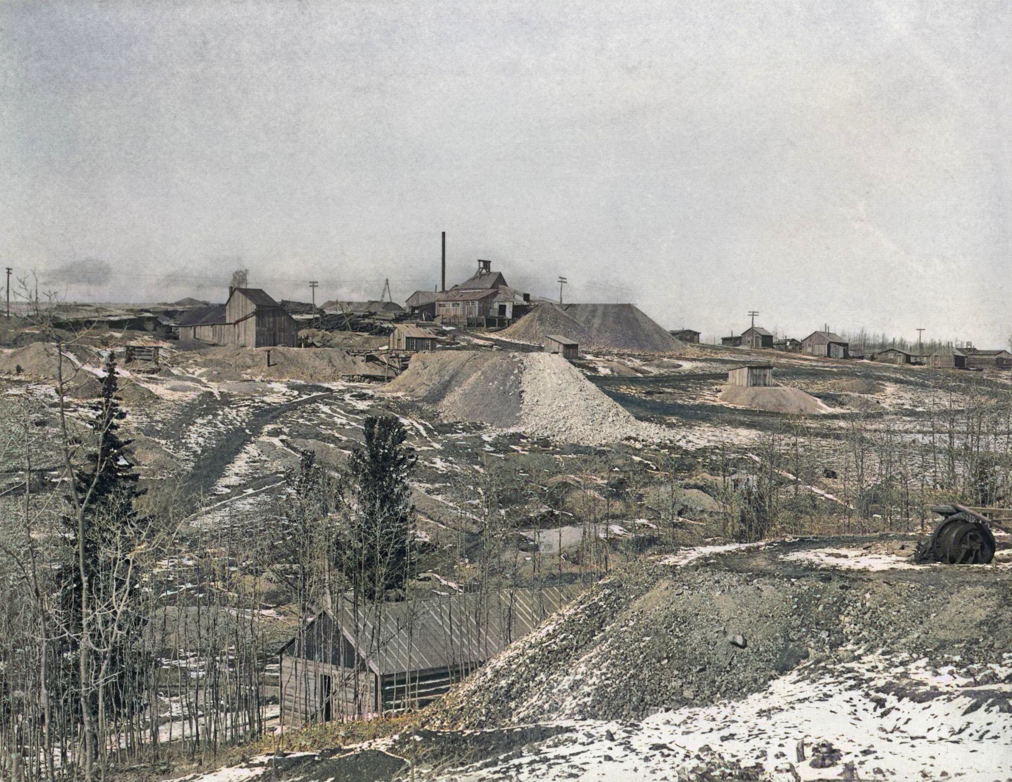

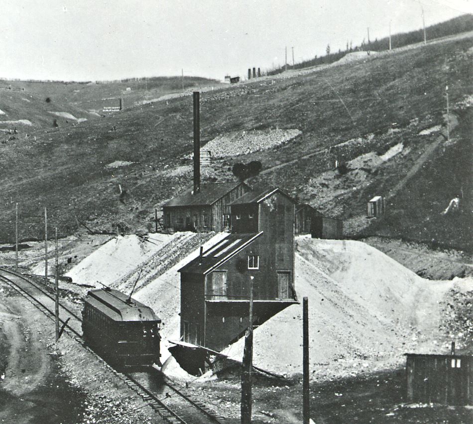
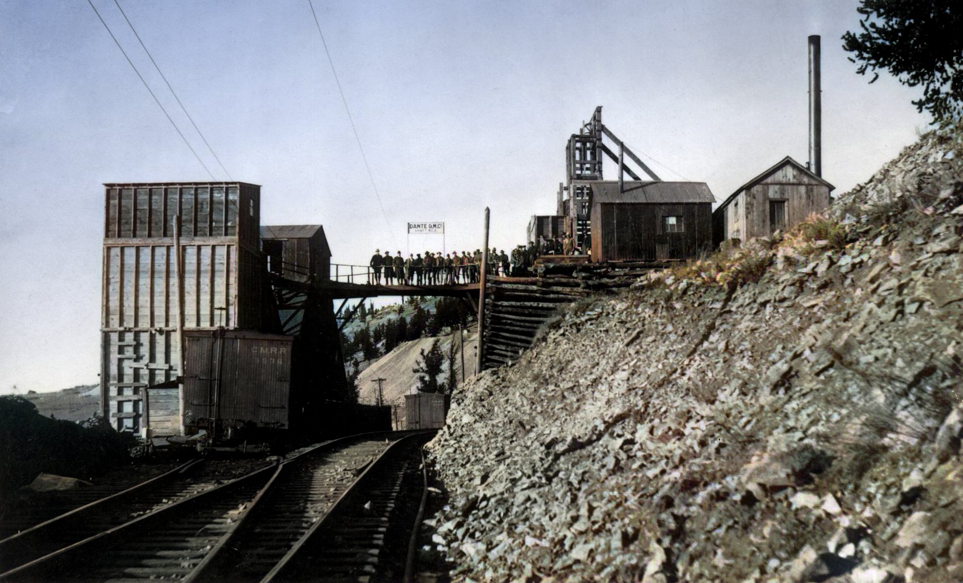
_battle-mnt,washington-mine_strght-crpd-colored-scld1980.jpg)
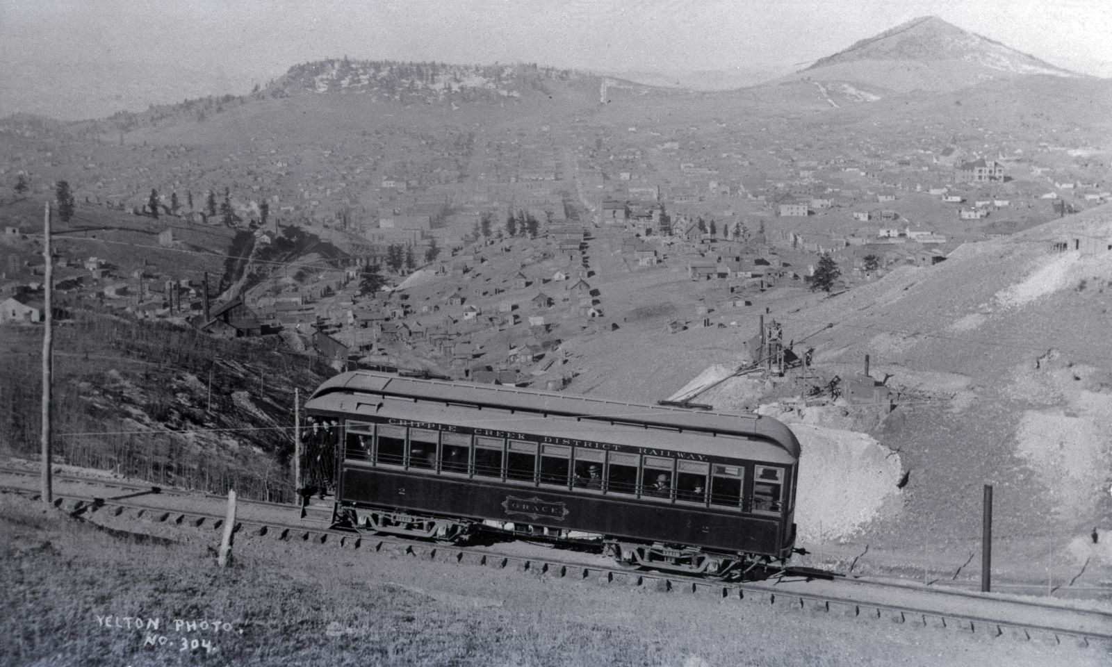
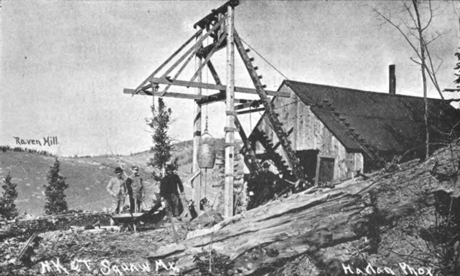
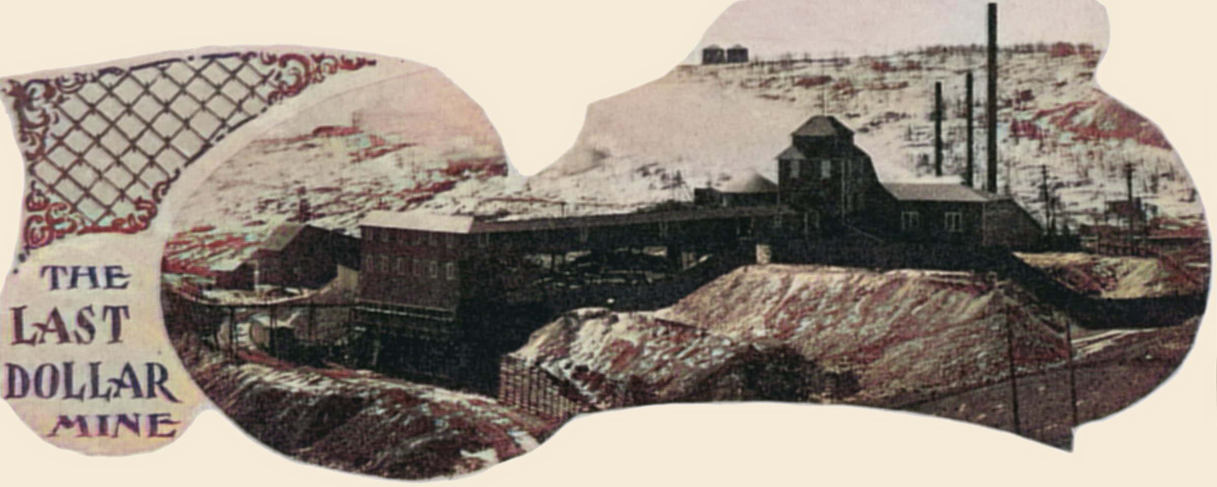
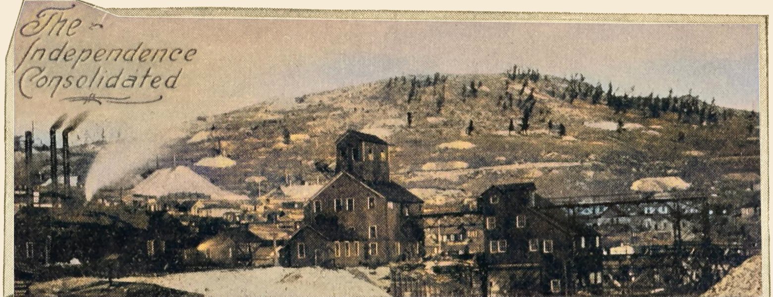
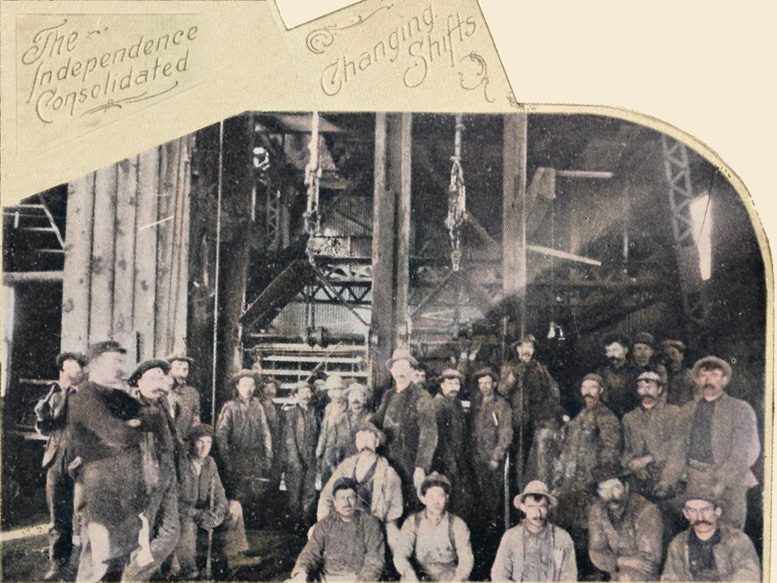

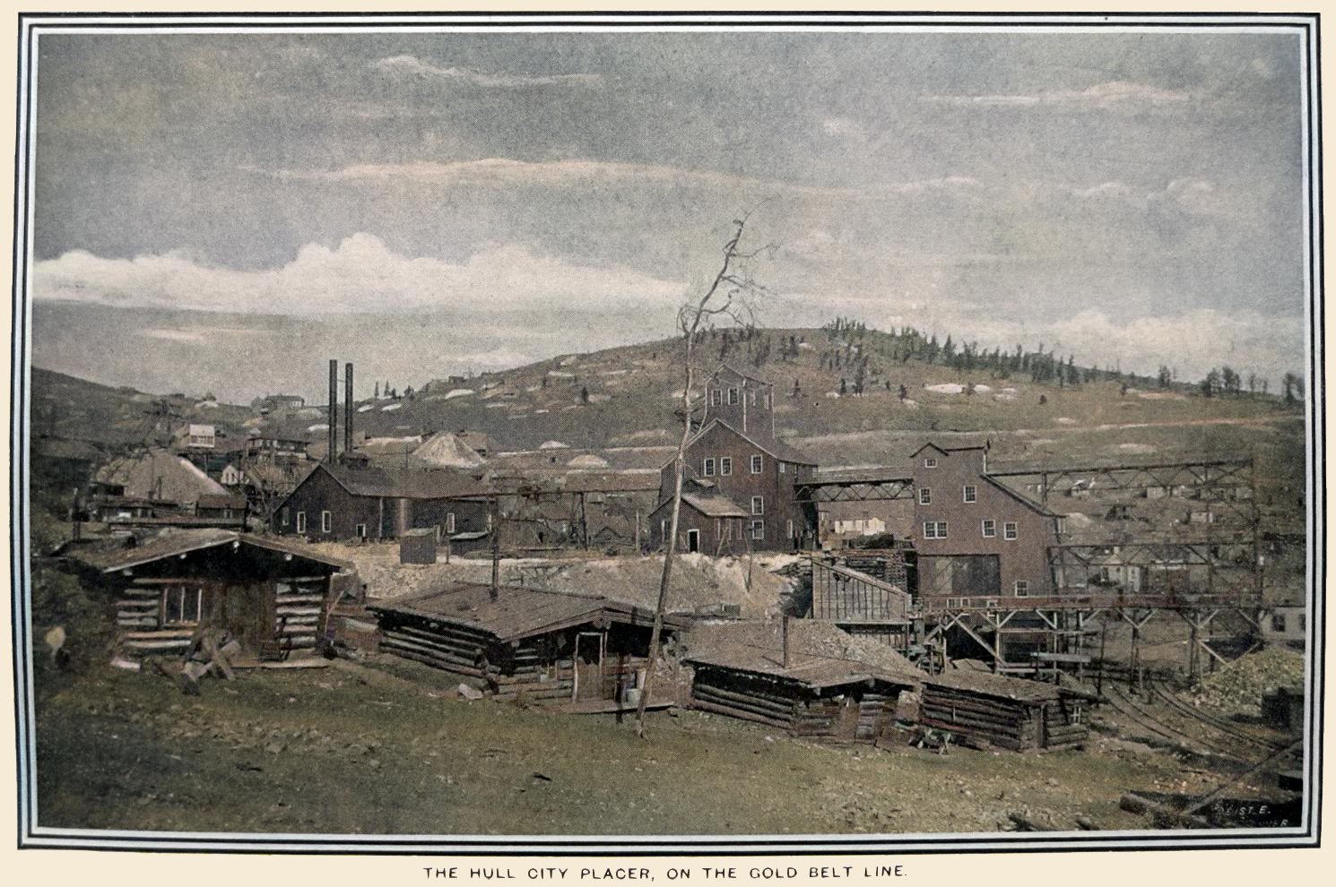

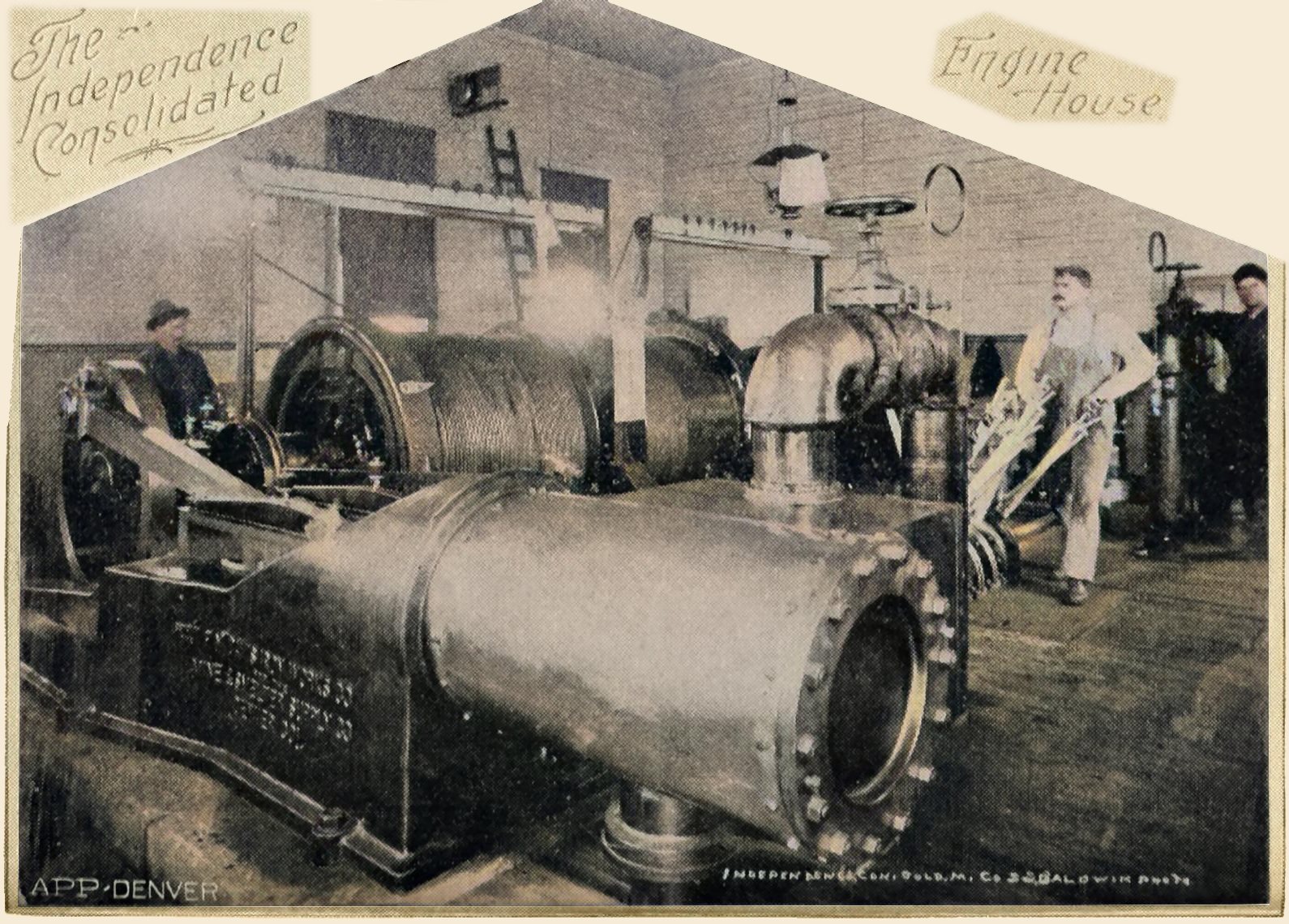
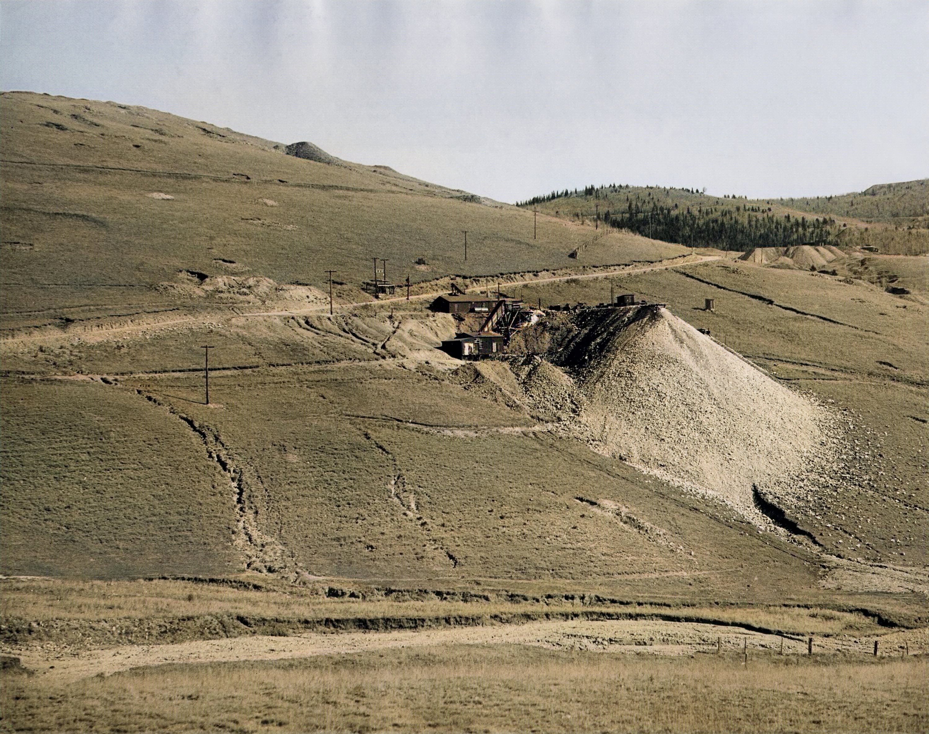
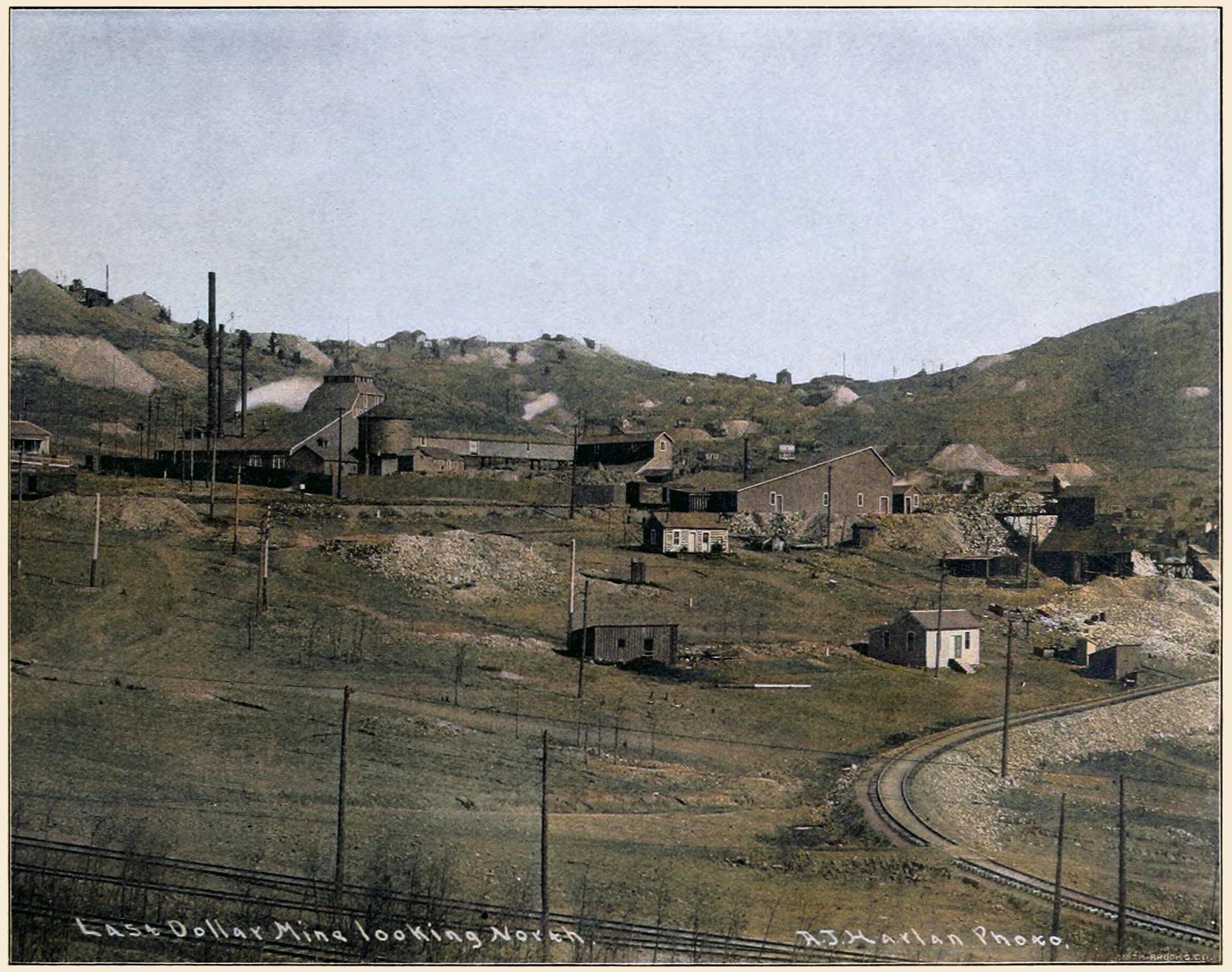
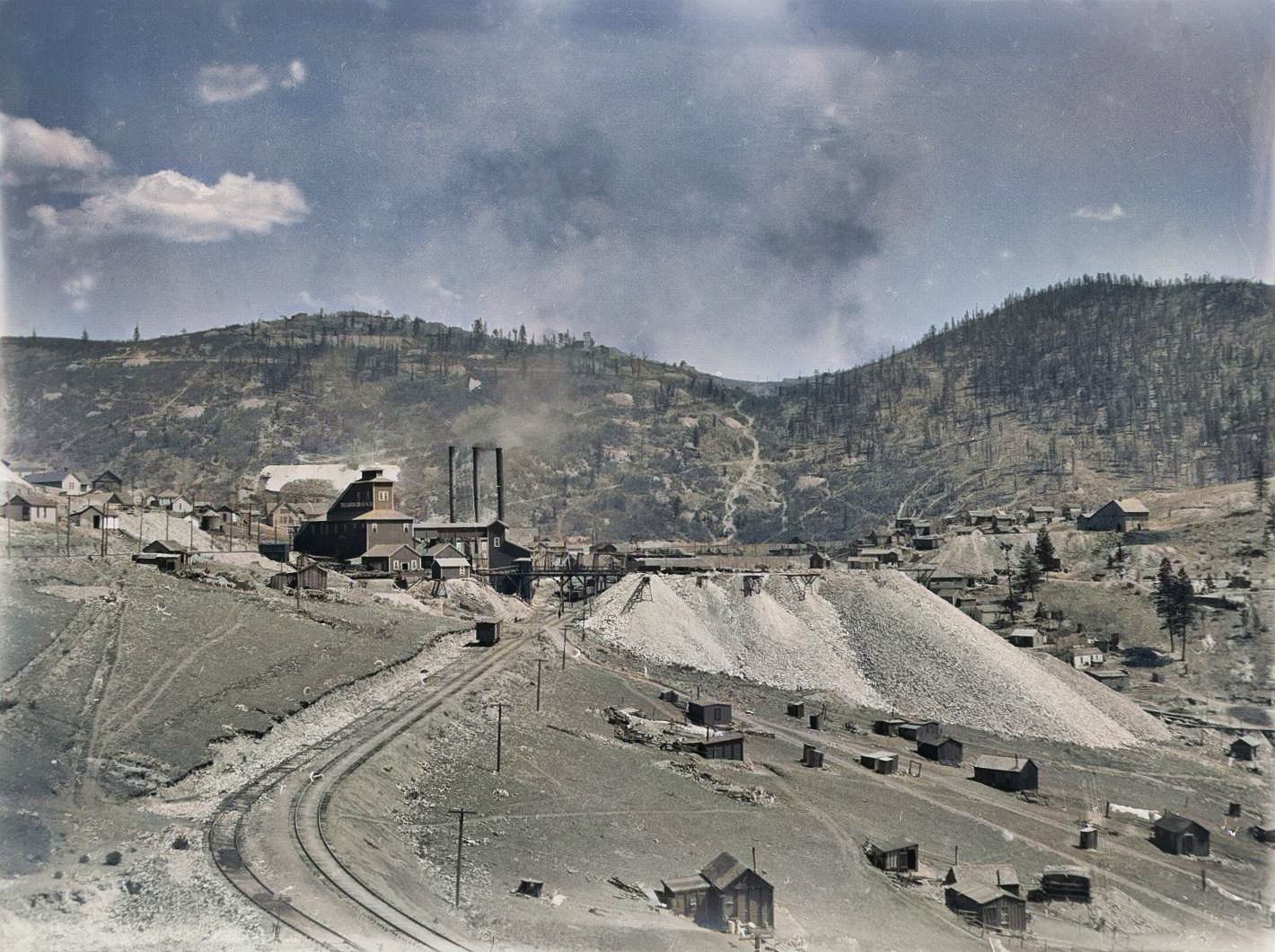
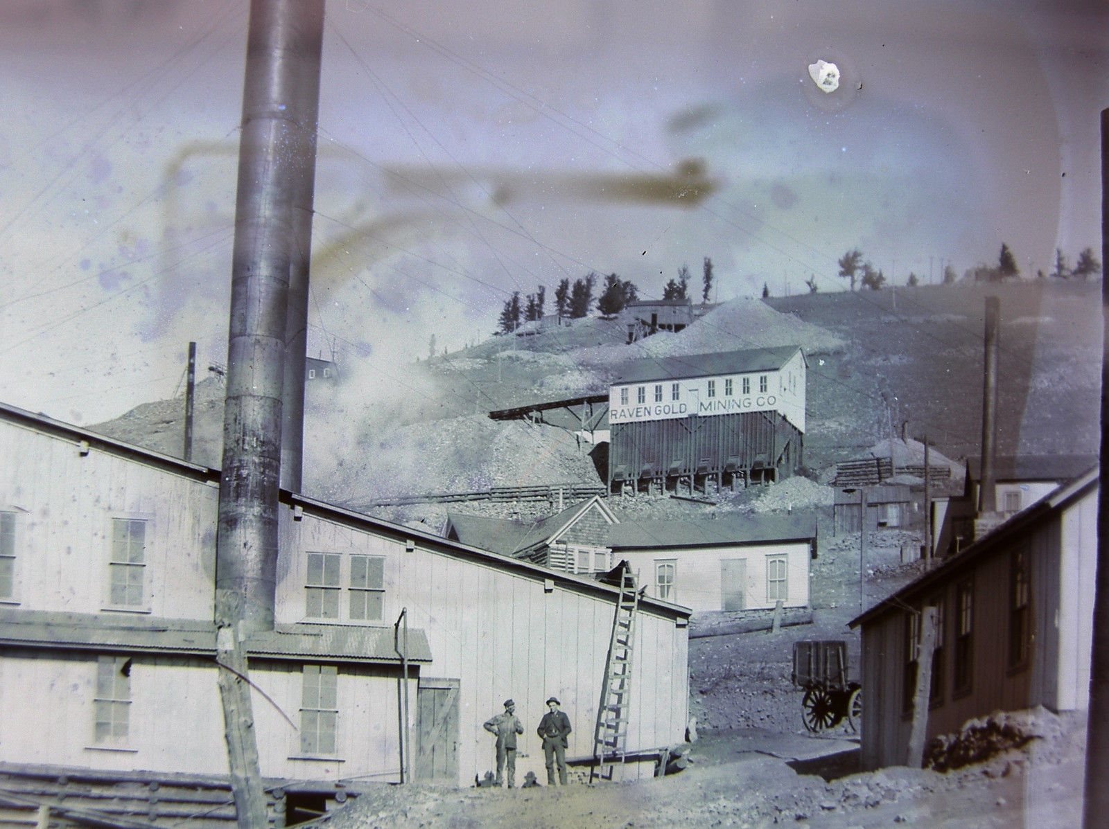
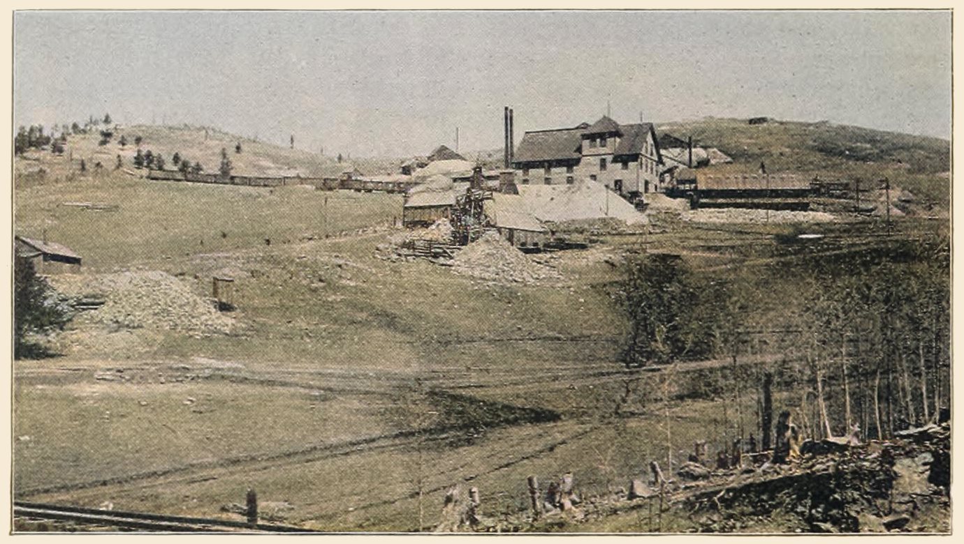
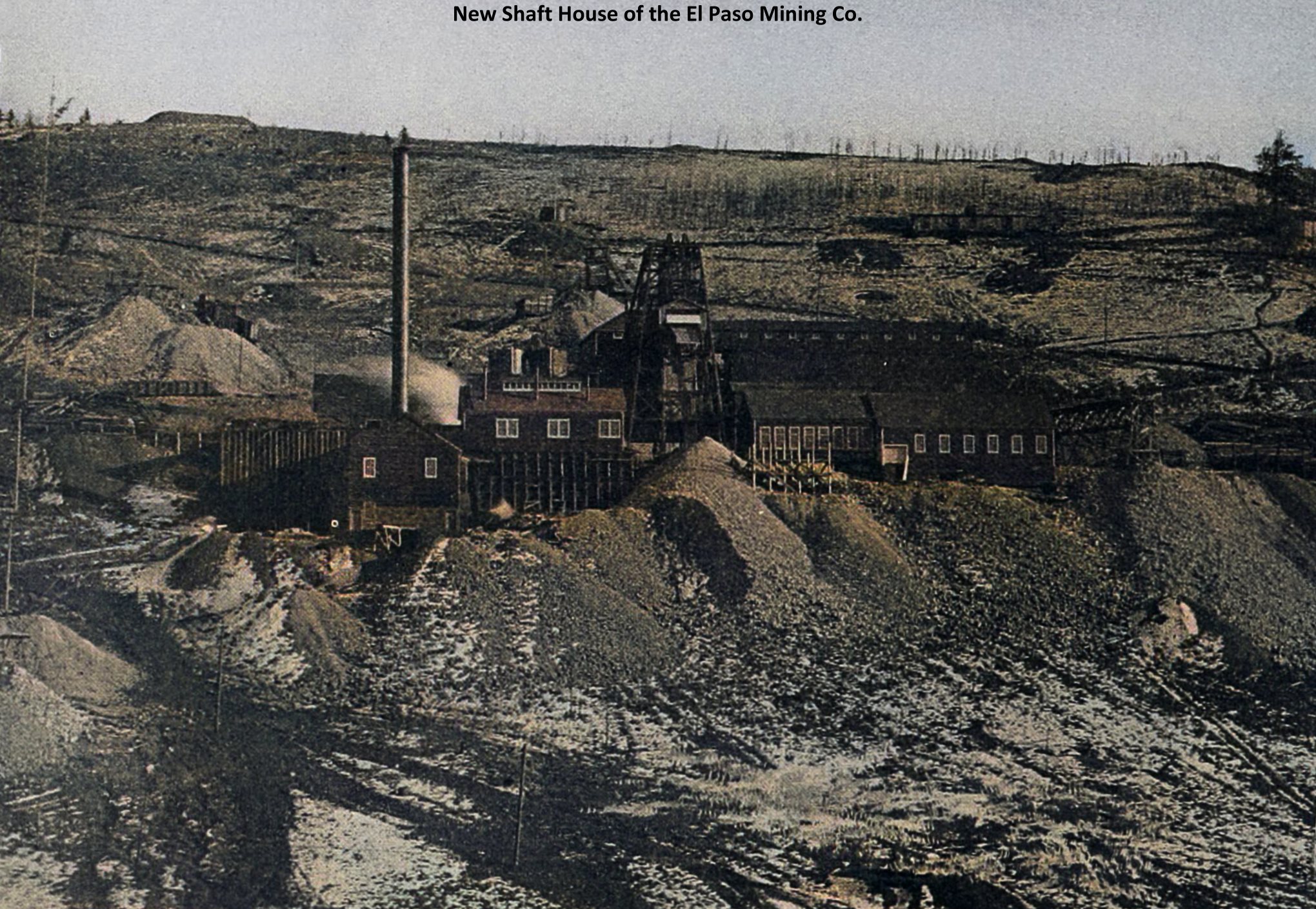
-colored.jpg)
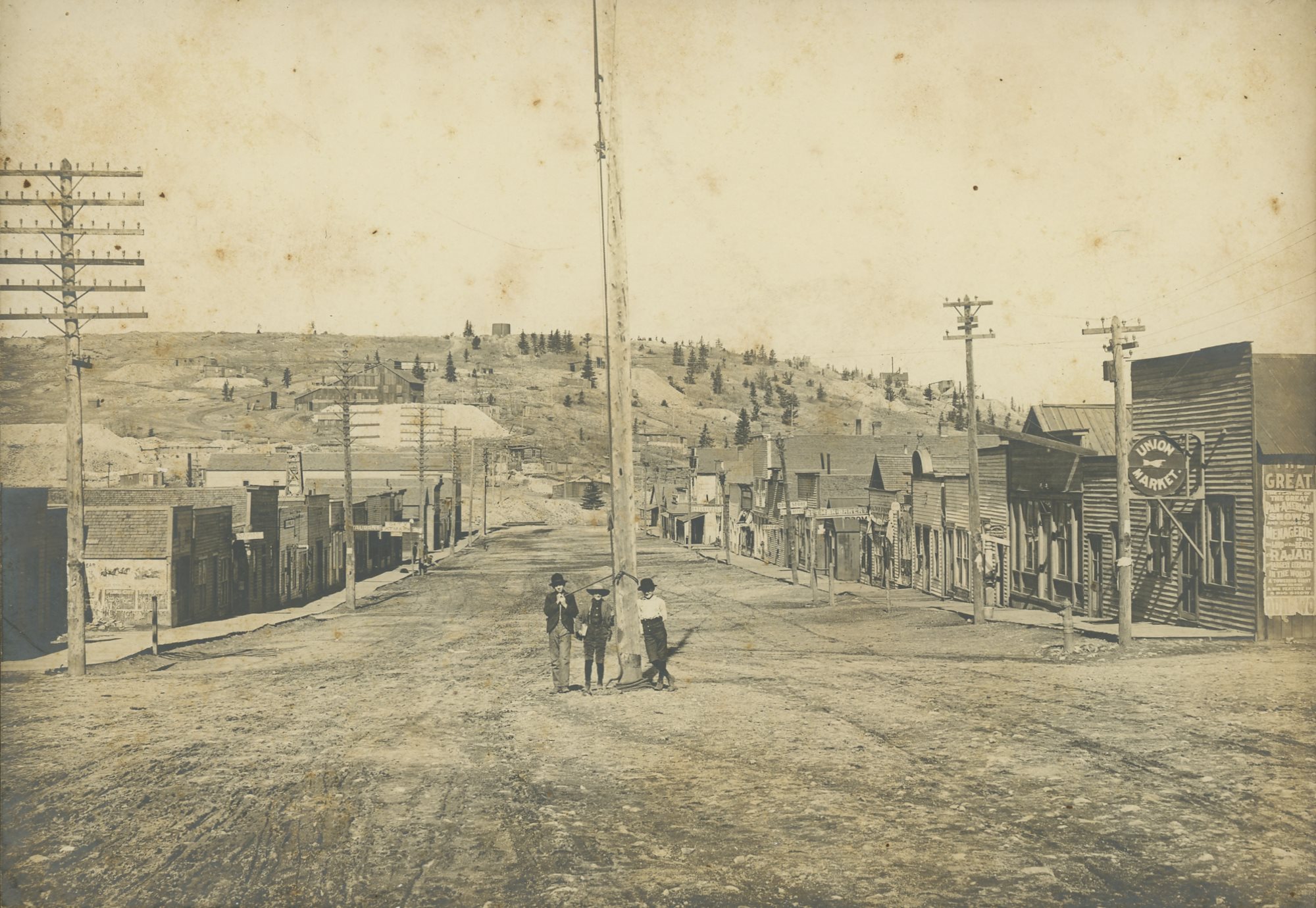
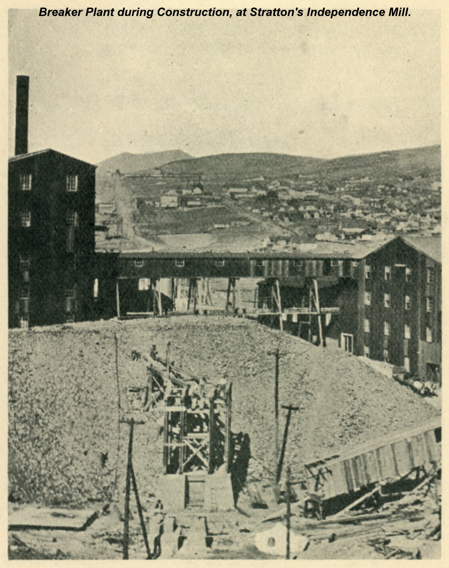
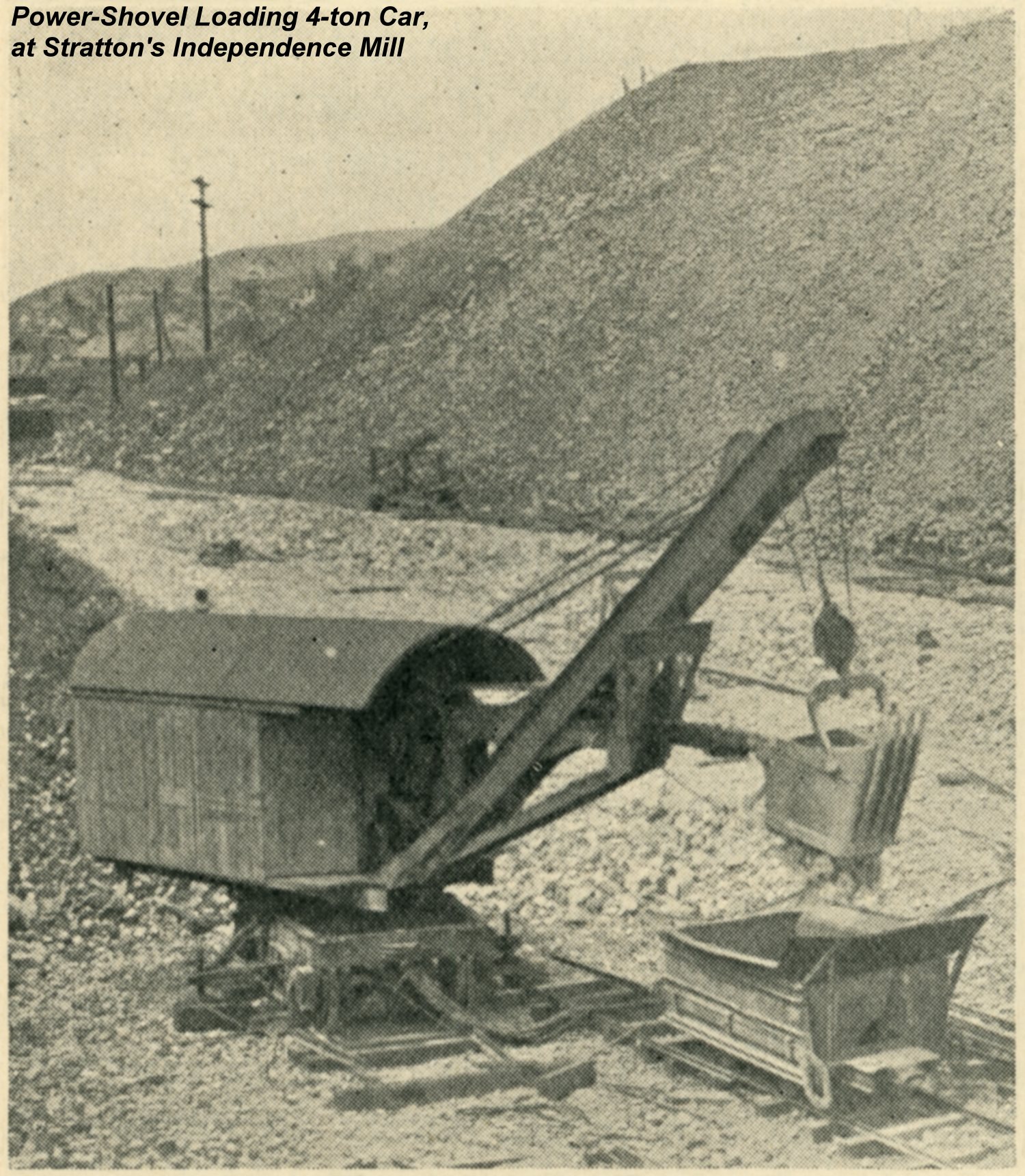
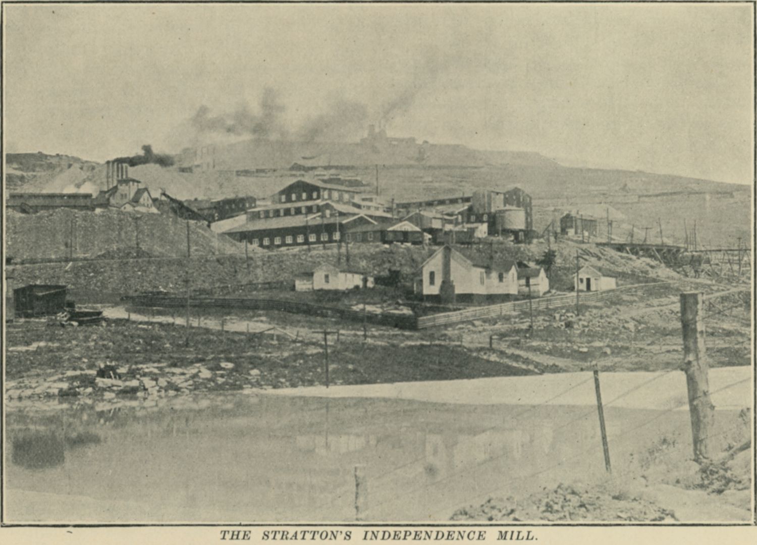
![click to enlarge I've seen the base negative photo of this view by time of writing this [12.05.2018] used seven times where 5 is as postcard edition with three of them in type colored/painted while the other two been as B&W postcards, like this one here. I've also seen the view used twice as B&W prints in Postcard Folders, and going from experience, there is at least yet another photo type of this postcard with a better paper quality as this card here is not the best one, dark is just dark, and there is sort of dots in the paper reducing sharpness and ability to enhance the view to bring out details. Also, this is the first card I've seen signed by Skolas where she has put the J through the S in her name, quite cool actually! Dating the view is not easy, but as I've seen a postcard stamped August 1, 1912 the negative must be at least 1 day earlier due to the time it takes to develop and make a postcard out of it.
For the View itself, this is on lower Battle Mountain where J. Skolas has photographed the huge in area Independence Surface type of Operation with the massive Mill Structures on the left and sideways center part, with the No. 1 Shaft of the Independence Mine itself seen towards the right-hand edge. In front of those structures there are still houses seen, belonging to Workers and so on I assume.
The railroad lines of the Short Line/High Line and the Golden Circle mainline is seen in the 1/3 bottom part where the Short Line is the lower one, with roads further down should you wonder. Up around the mine itself, about 1/2 up from bottom and about 1/4 in from right-hand side, this is where the Midland Terminal has its tracks and where passenger trains on the Short Line shared tracks in order to reach the M.T. Victor passenger terminal after they started to cooperate using the from then on known as the Union Depot, after 1905, when a connection between the Short Line and the Midland Terminal was made east of Victor, and the M.T. was running on Short Line tracks from a place called Vindicator Junction, but as that is entirely on the High Line route, there must been a connection from someplace at Victor Pass area from the M.T. tracks over unto the Short Line tracks.](/04library/postcards/p-03625_independence_mine-n-mill_skolas_frmd.jpg)
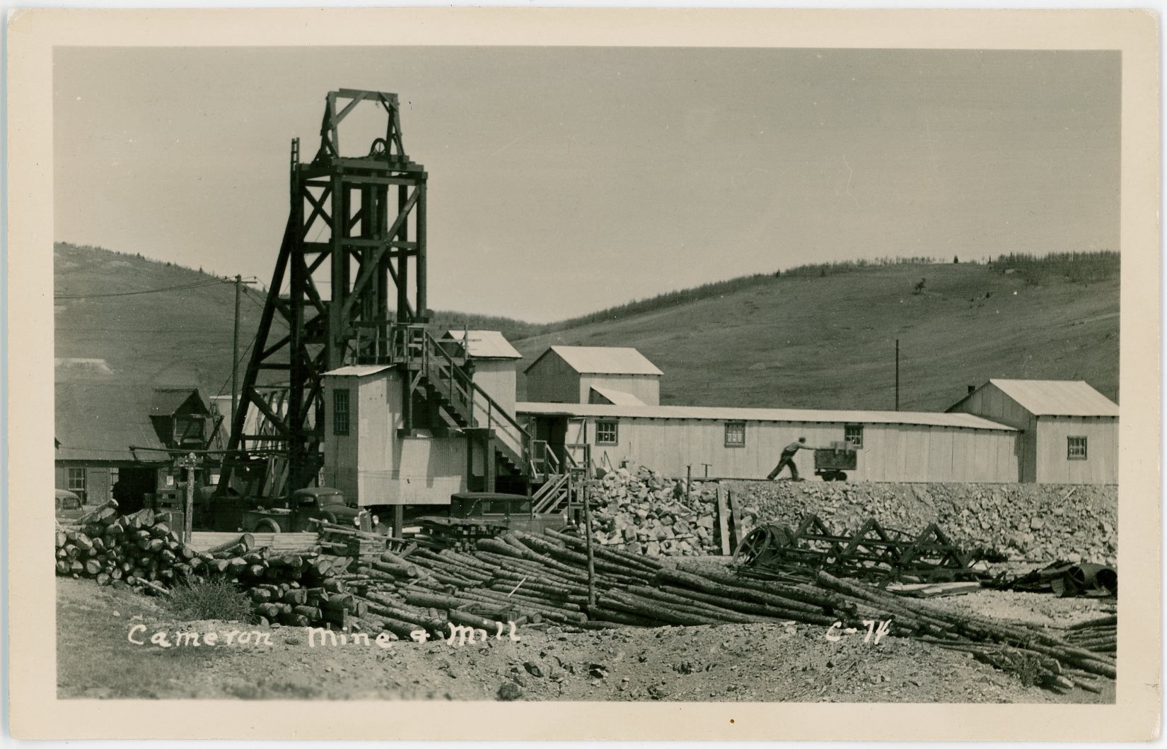
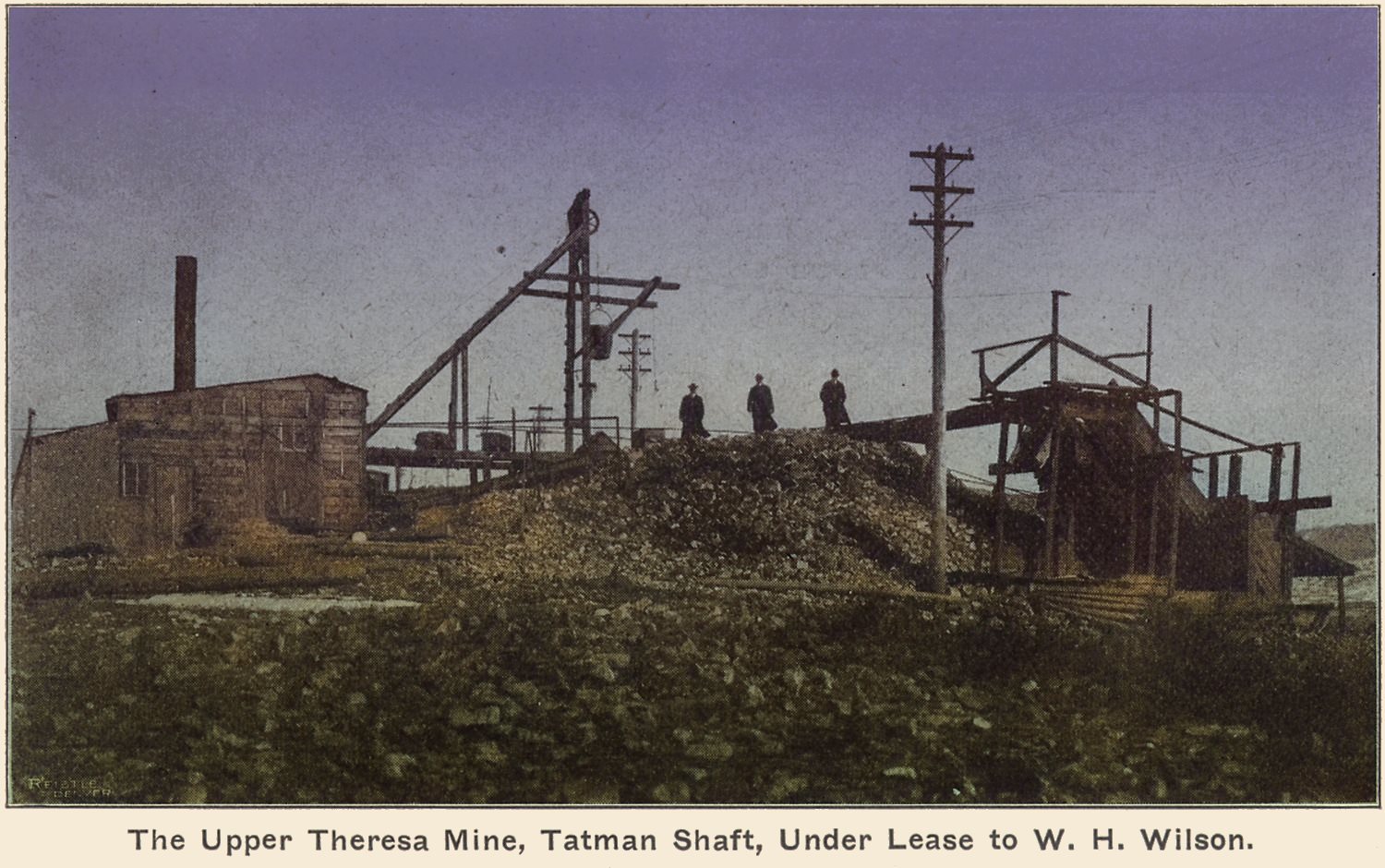
![click to enlarge Sadly, not the best of quality on this, to me, rare view of the Lexington, or Clara D., mine on Gold Hill. In the background left I think we see part of the International [aka International Gold King] Mine, part of several different named operations on the Gold King lode, while the Lexington is on the Clara D. lode, which crosses the Gold King lode.
I am not sure if the Water-tank seen about center in the background is linked to any specific mine or just a more common one. What I do know is that while the source of this image is in gray tones due to coming from a printed material, I did play around and tried to add some sort of coloring scheme using my computer as I think it is sort of enhances the image information.](/04library/images/seeing-cc/1904-01/p28-crpd_view_surface_improvements_lexington-mine-colored_i-01094.jpg)
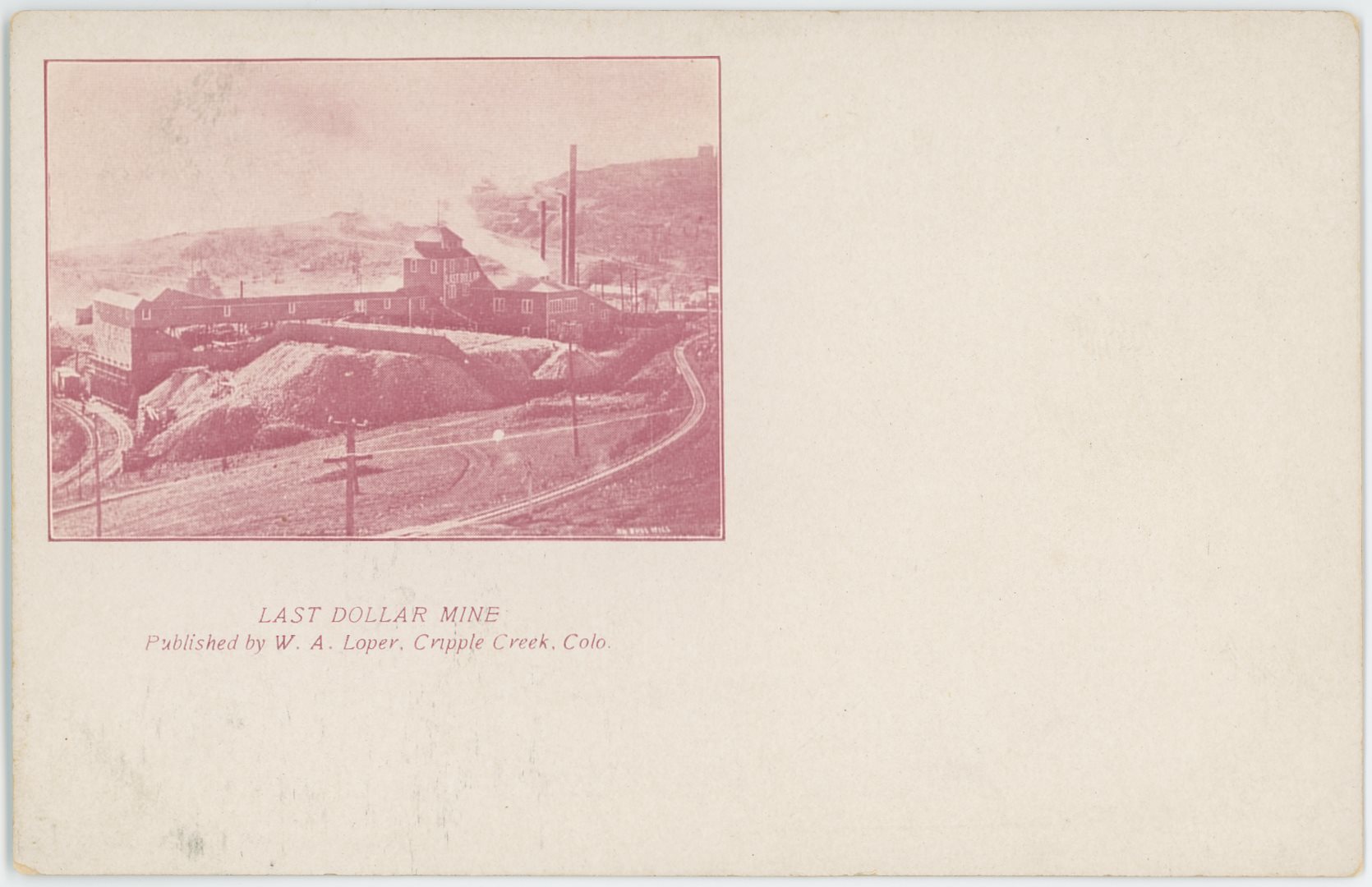


![click to enlarge This seems very much to be a photographic copy of a photo, even possible the left side of a longer one and which I sure hope to find the right side of it too as there is a possibility that one holds an image of the mill I like to call ''my mill'' {the Economic Mill].
I had to darken the images some though as they came out very light, and I also made some corrections to the left, right, top and bottom sides to make it a square image. Scene is taken from east slope Beacon Hill looking across Arequa and onto Elkton in the background about middle sideways and about 1/3 down from the top. Raven Hill is stretching up on the left side while in background right is the Bull Hill area.](/04library/images/mine/p-01263_n462_elkton,colo-enhanced.jpg)
![click to enlarge From my best judgement, this is one long photo that been copied over unto three negatives [P-01252 | P-01253 | P-01254], all showing the Elkton Mine in an early look. This is the middle one.
Raven Hill is in background left and Bull Hill is the hill on the right. Town of Elkton is in its very early stages at the location behind the Elkton Shaft House, but from other views I know there is more houses and homes down hill outside the view at lower right.](/04library/images/mine/p-01253_elkton-mine-on-line-of-mt-ry,raven-hill-n-mines_aj-harlan-2.jpg)


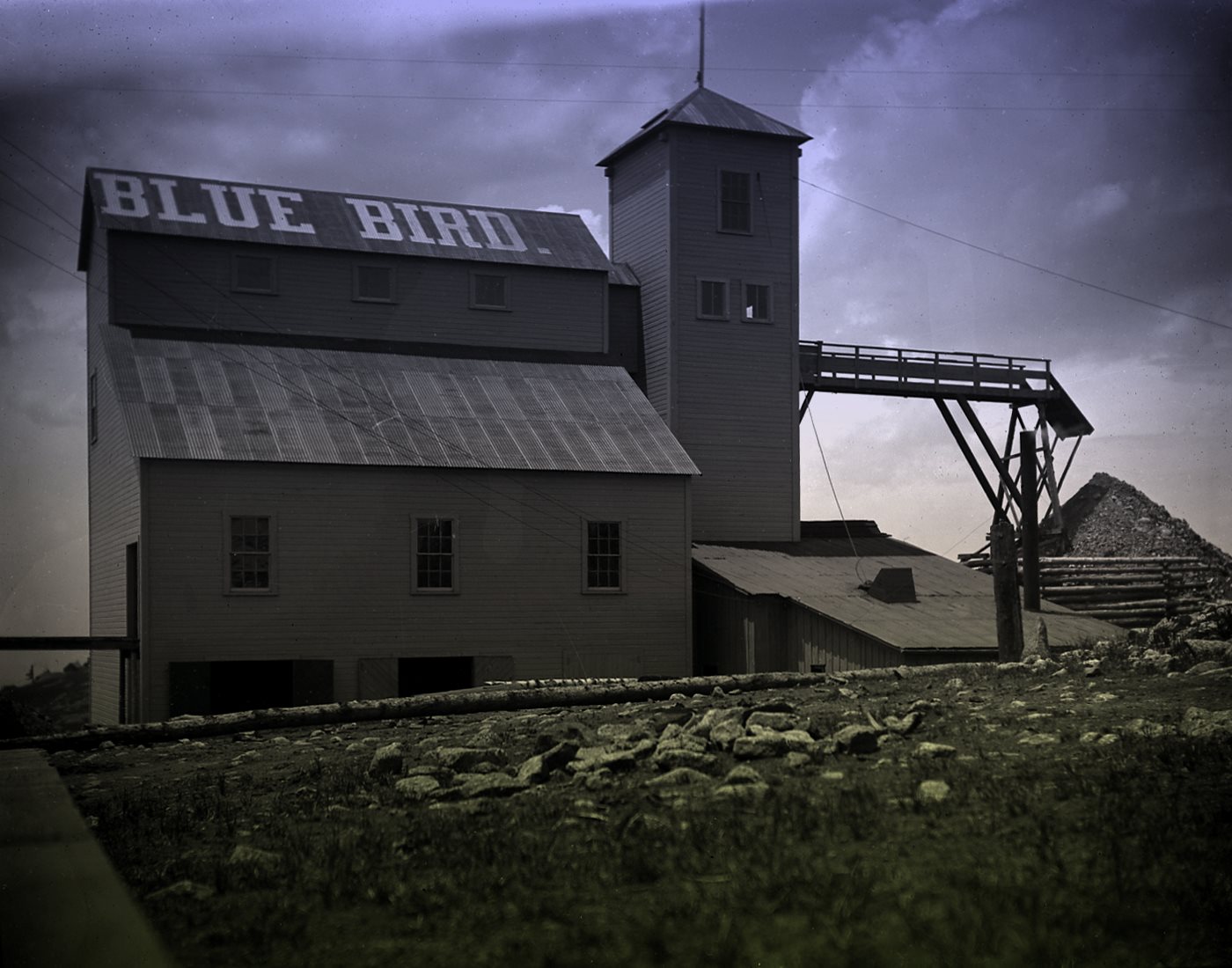
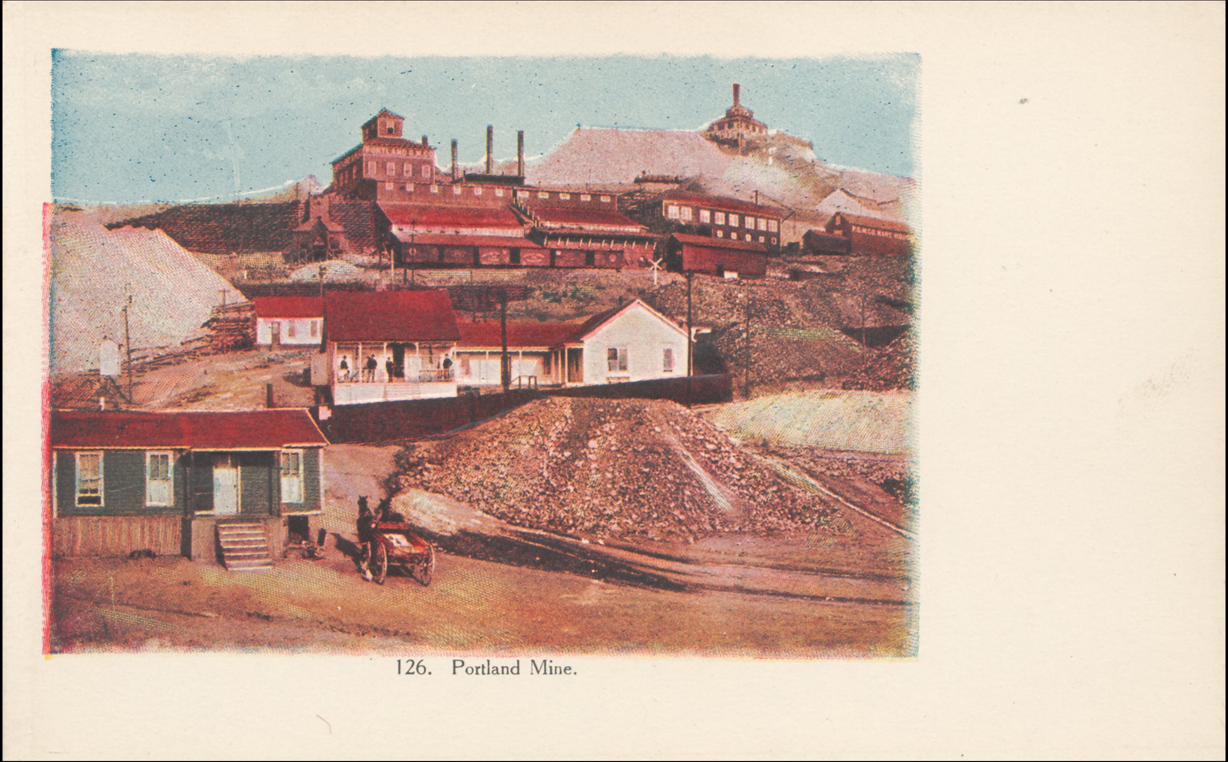

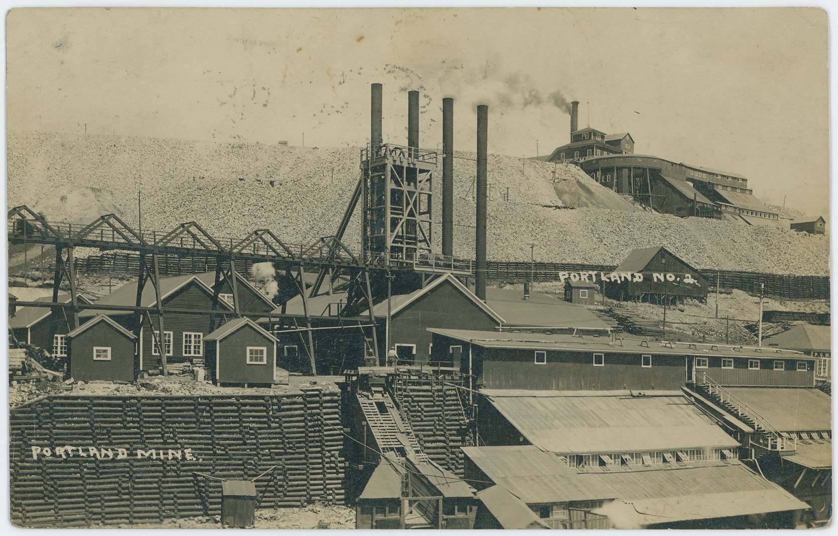
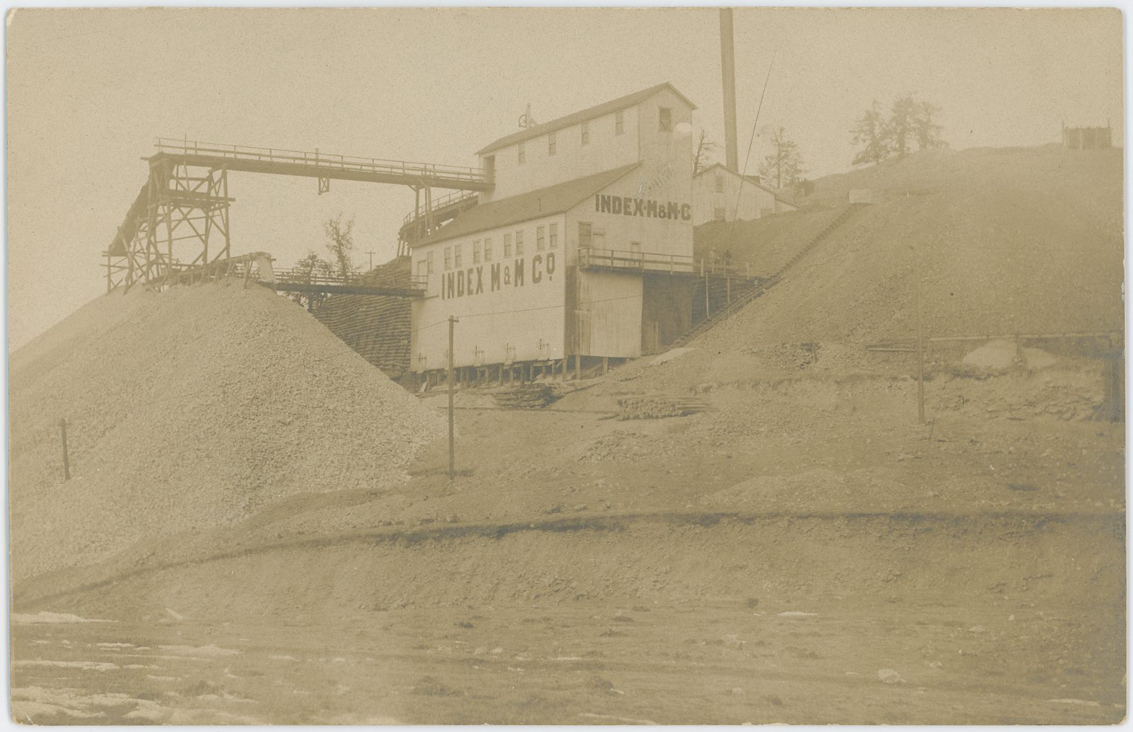
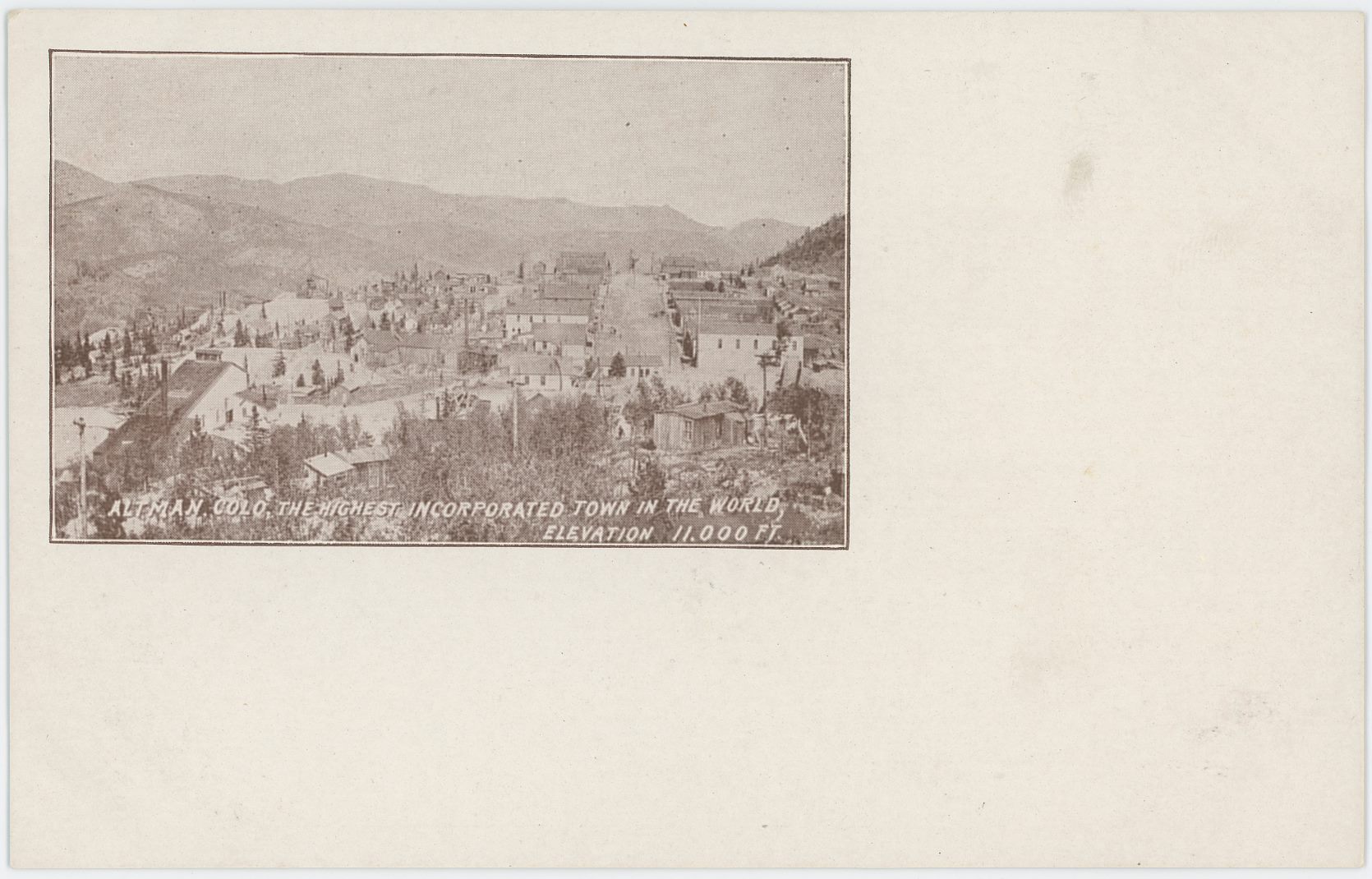
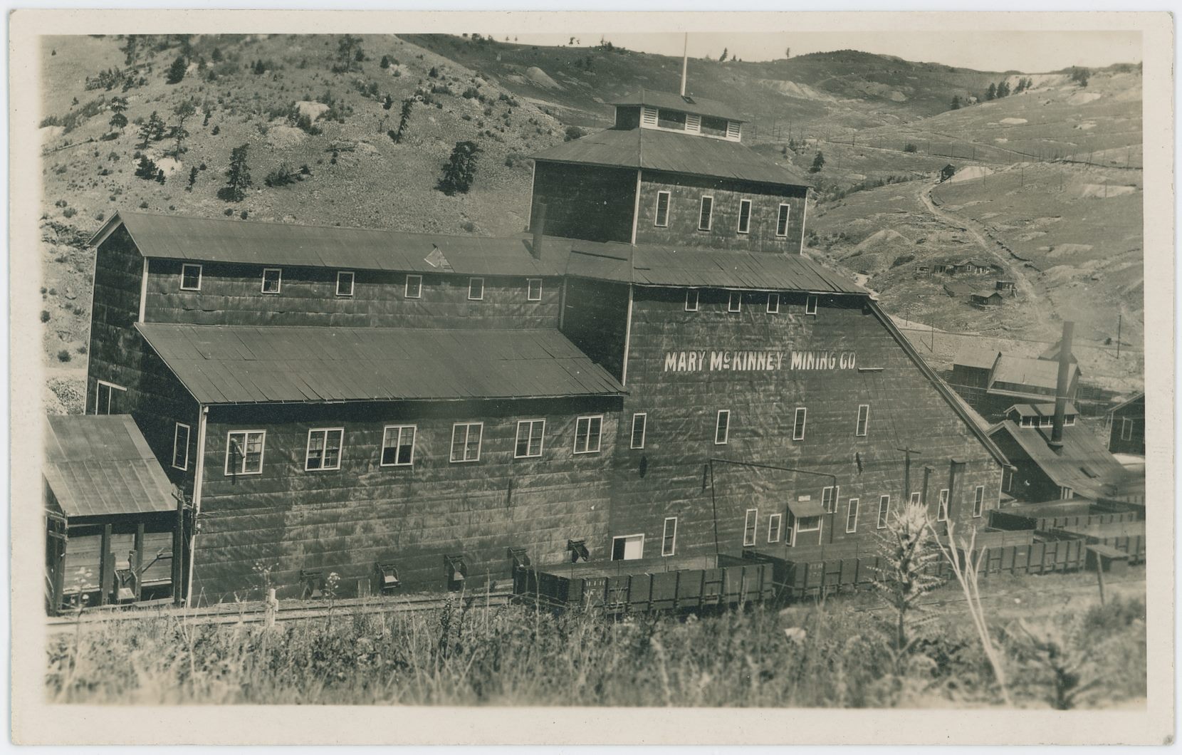
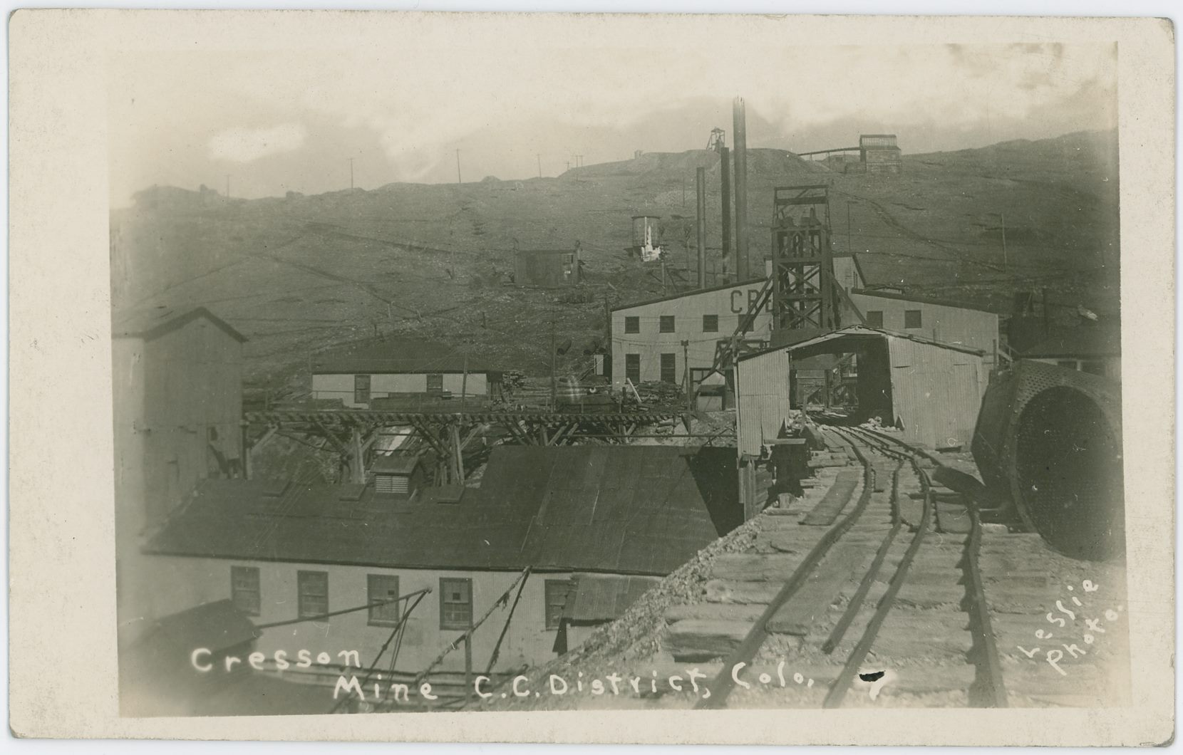
![click to enlarge [B] MOLLIE KATHLEEEN GOLD MINE CRIPPLE CREEK, COLORADO
Discovered by a lady Prospector in 1891 and still producing.
--- End Backside Text ---
This is the second crop edition of this photograph by an unknown photographer, which I dare not trying to date, but think it might be from the 1940's till the early 1950's. View is of a road going down passed a large flat dump area used as a parking place and with signs telling the visitor that the mine trip is worth a stop by.](/04library/postcards/p-03847_n15,214f_mollie-kathleen-gold-mine_frmd.jpg)
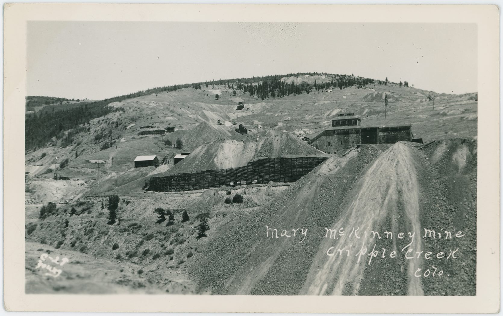
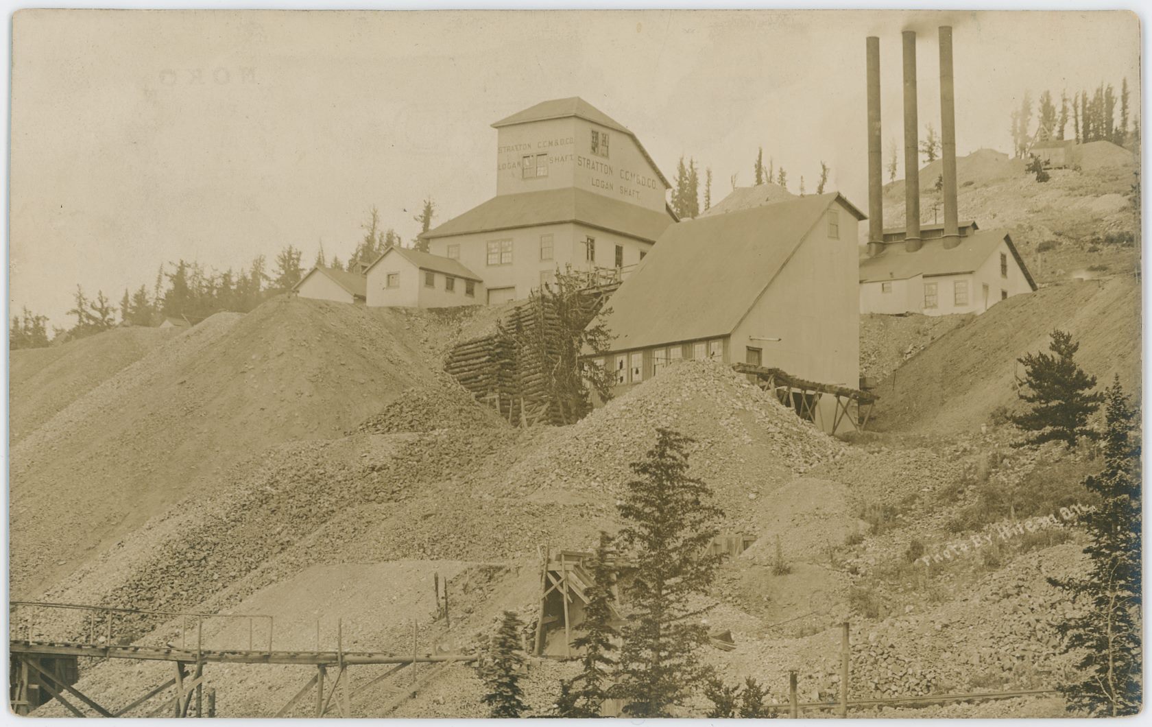
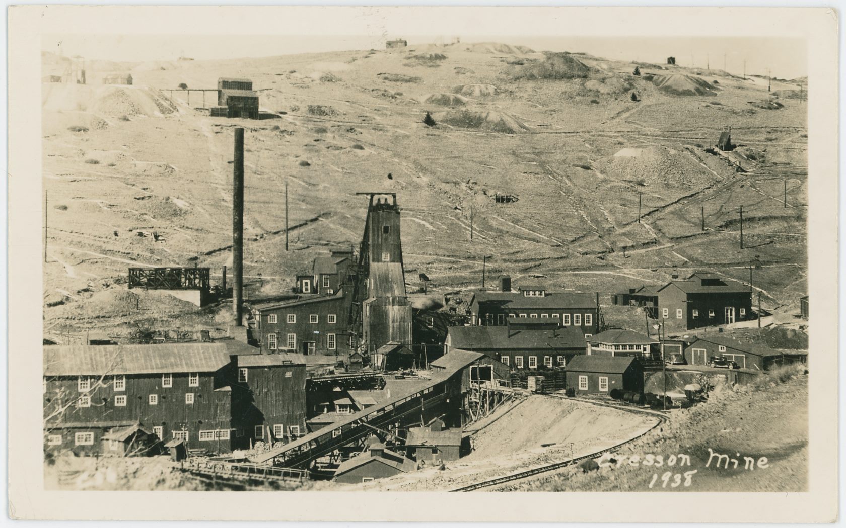
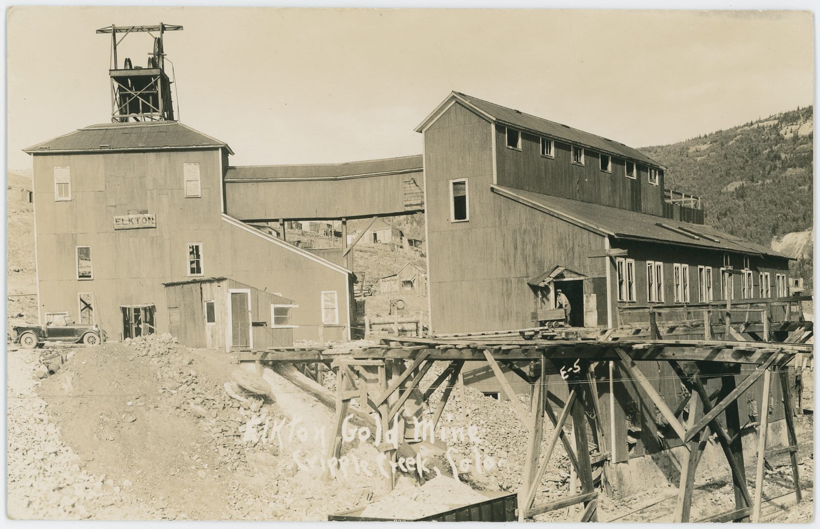
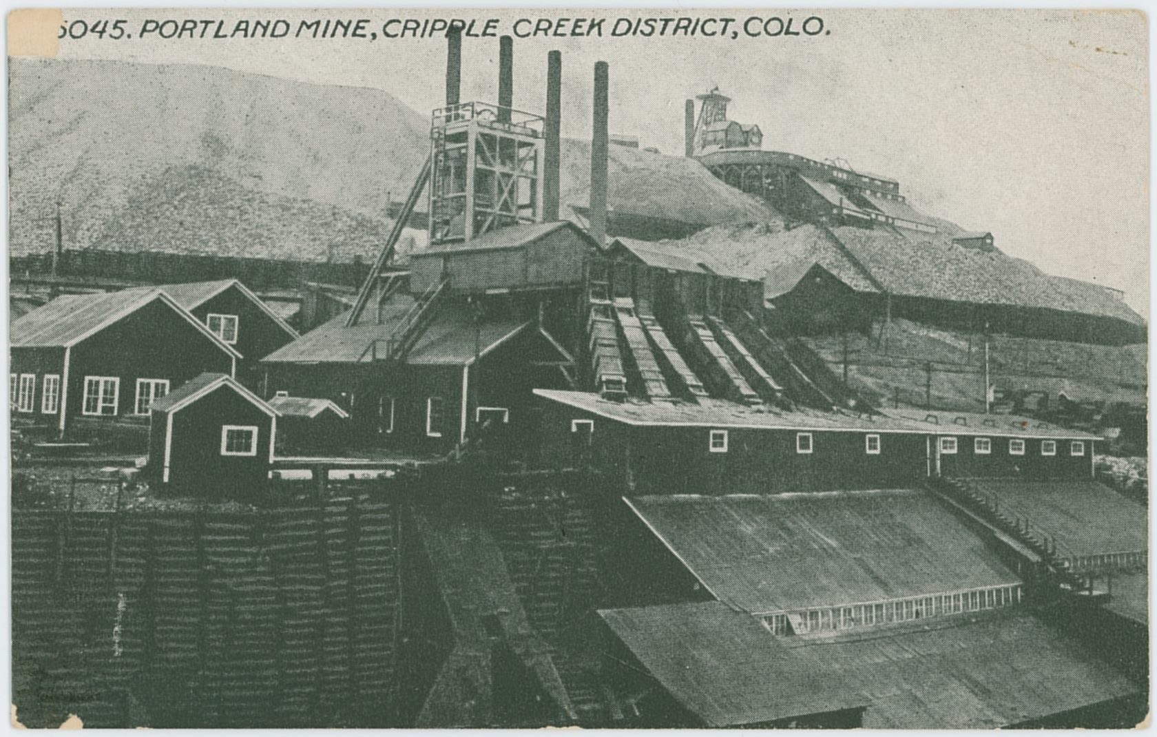
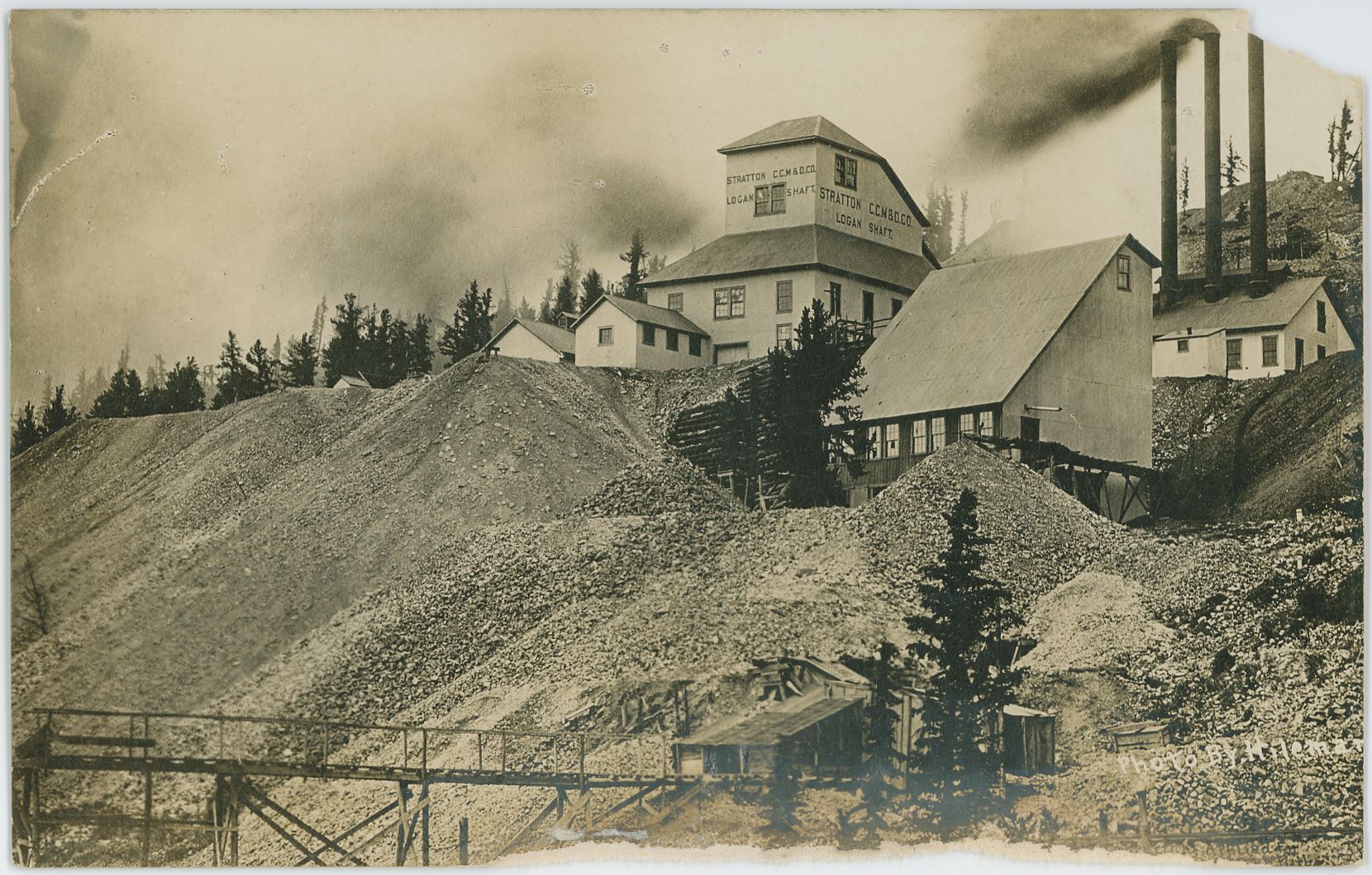
![click to enlarge I never seen this view as anything but as a printed/lithograph type of postcard, or in a postcard type of folder, but when I scanned this one I noticed that this is having the same base image as a couple of photo type of postcards that I have, which I found cool as suddenly I could say this is a Julia Skolas photo! And so far, I know about 19 uses of the base negative/photo, many used for this postcard here in various crop editions, so I think it was a popular view and printed many times by both the same and various postcard publishers as I've seen various versions of this one.
Wish it was as easy to say which mine is up front in lower right, but my brain refuses to work, and I do not know currently (15.07.2018]. I been wondering if it might be on the Longfellow claim, but I am not sure, it feels located wrong though, too far south of what is now a reduced Independence Townsite, seen about middle of the image extending uphill towards your left.
* Known mines count the Vindicator No. 2; the whitish single shaft house far left, about 2/5 down from top and about as much in from left-hand edge as the Shaft-house is wide.
* Vindicator No. 1 is seen also about 2/5 down from top and about 2/5 in from right-hand side, consisting of a Shaft House, large Powerplant, huge Ore-House; all white in this view; lot of dumps.
* Just to the right of the Vindicator No. 1 is the (on this view) large red colored shaft house of the Lillie/Lilly/Lily Mine. This structure of the Lillie was later used as an experimental Mill for the Vindicator mine.
There appears to be some form of snow on the ground in the foreground and on the hills and mountains in the distance background right, this gives the impression this might be a late winter photograph, possible 1908 as a year, as this postcard has a date of July 10, 1908 on its text message.](/04library/postcards/p-03841_vindicator-mine,cc-district,colo_frmd.jpg)

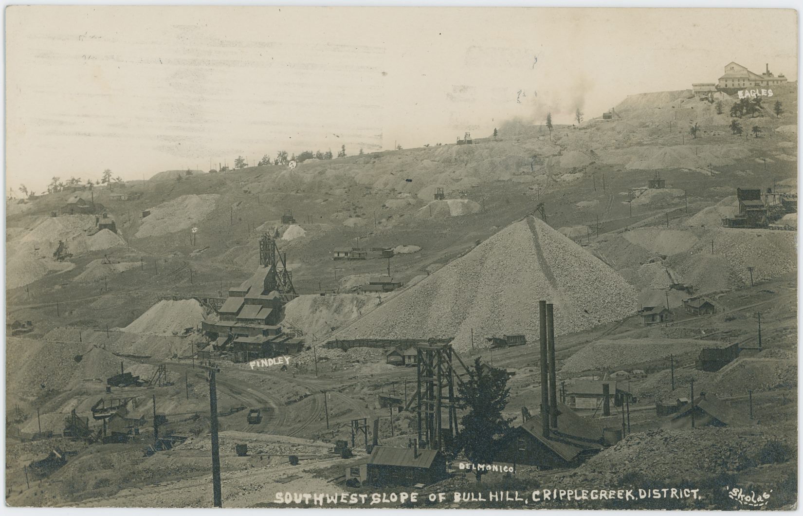
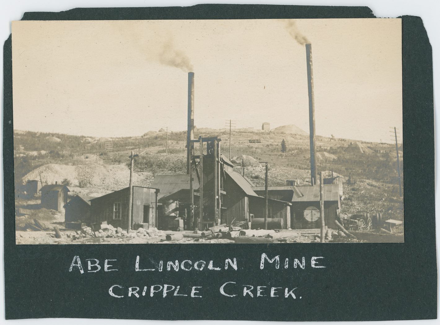
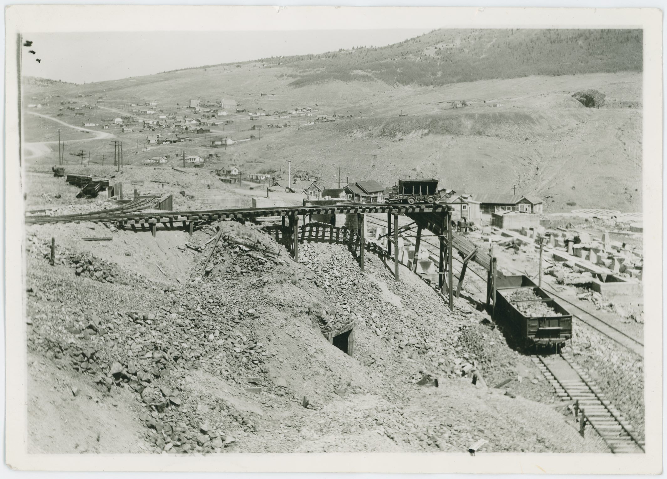
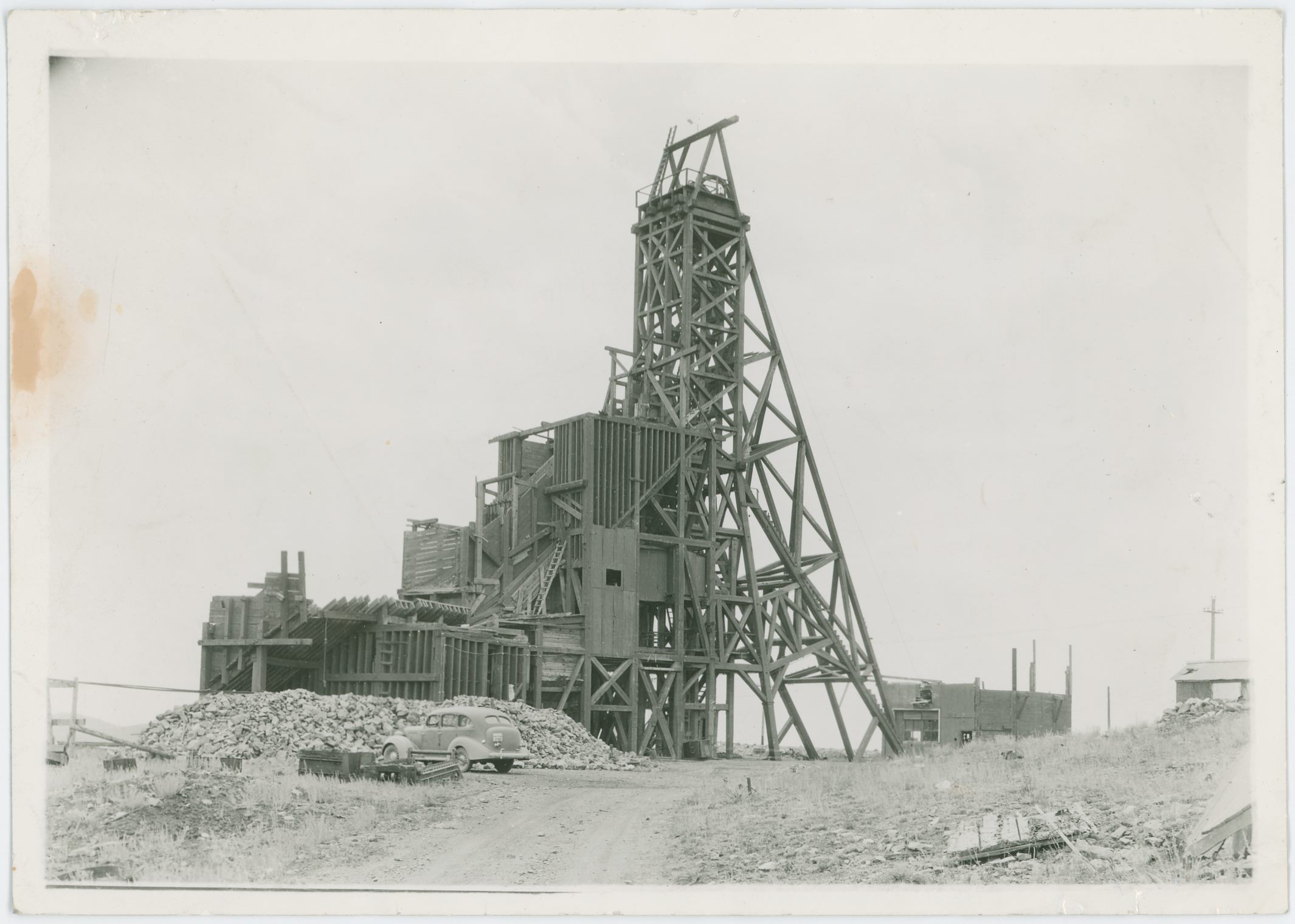
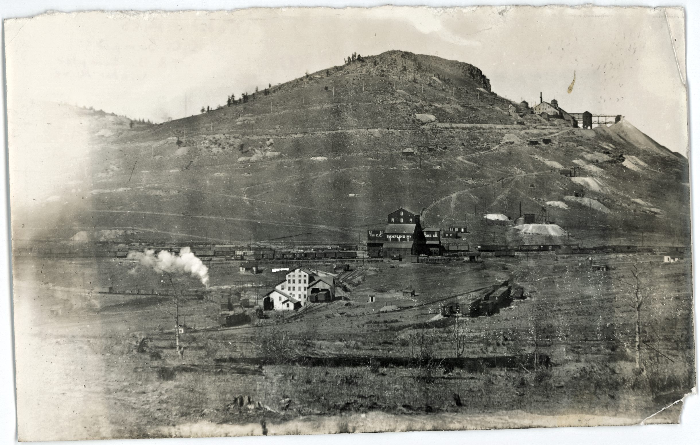
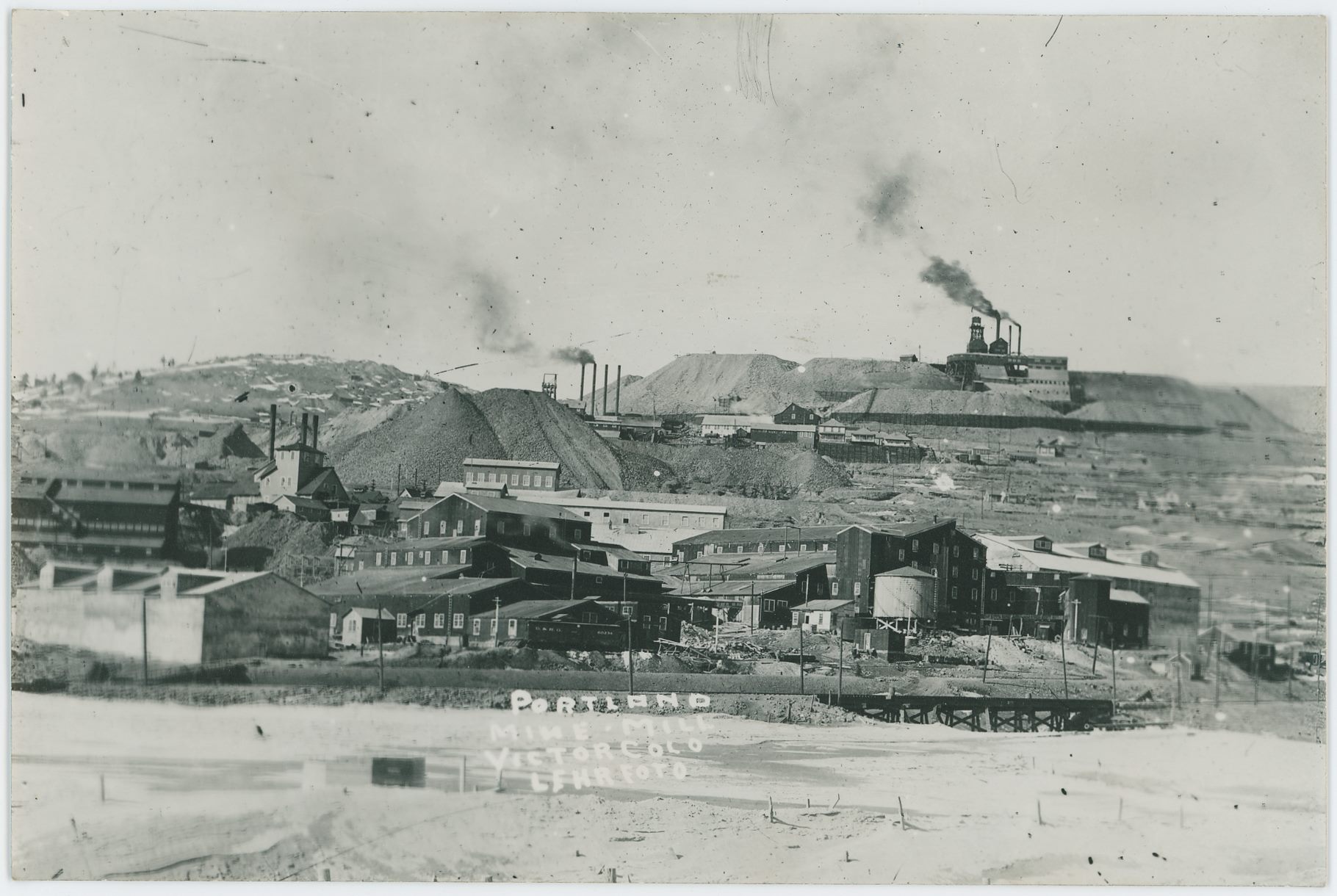
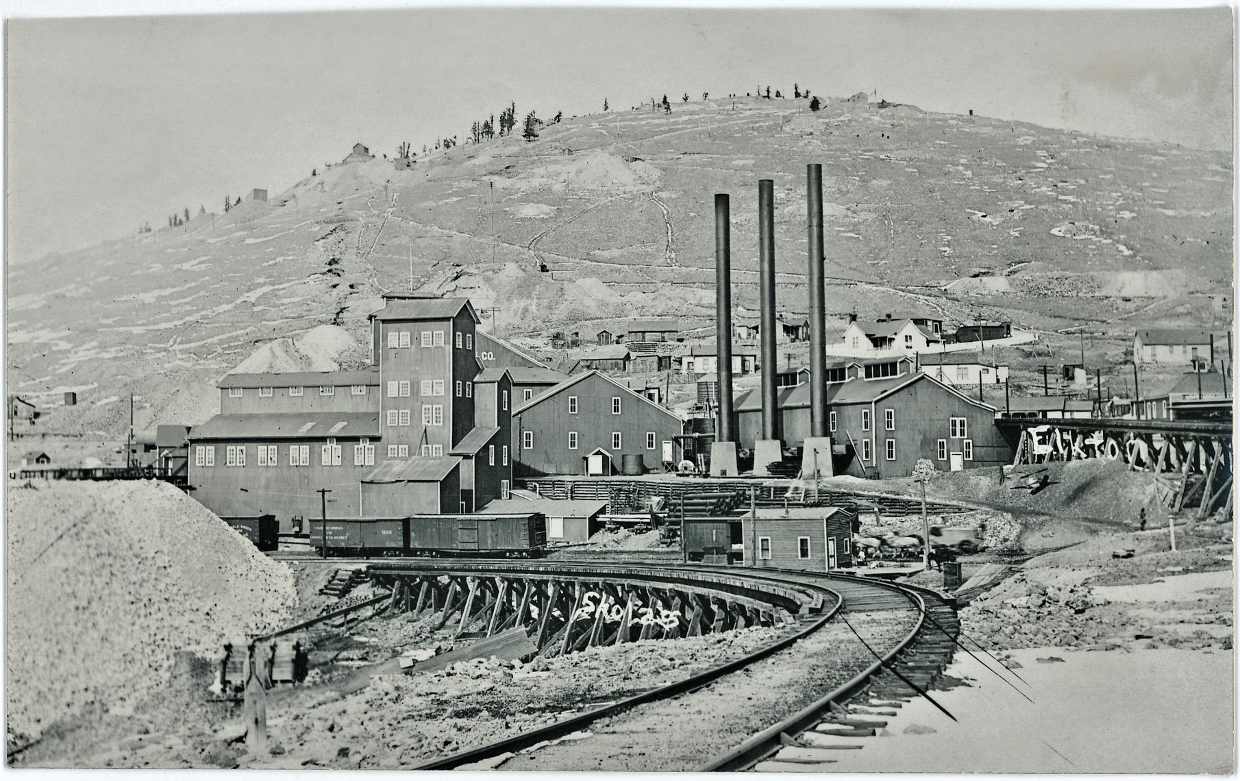
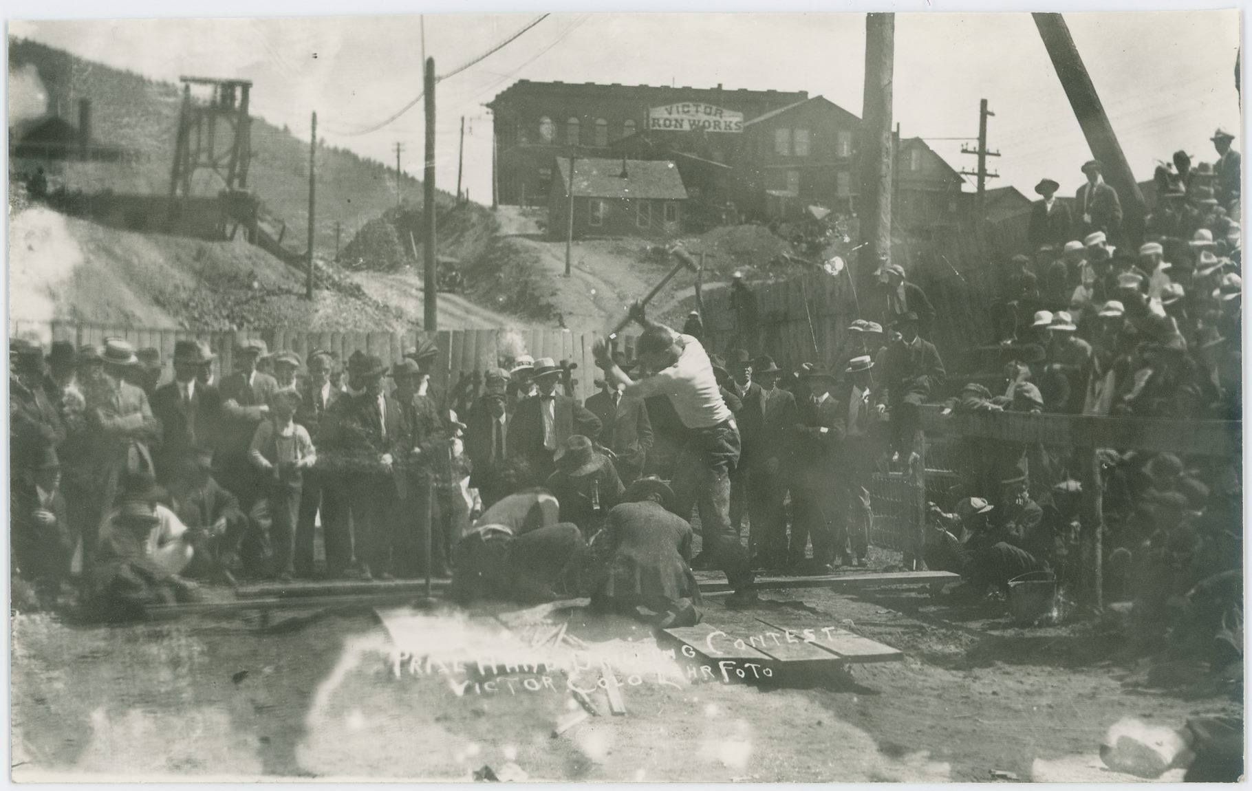
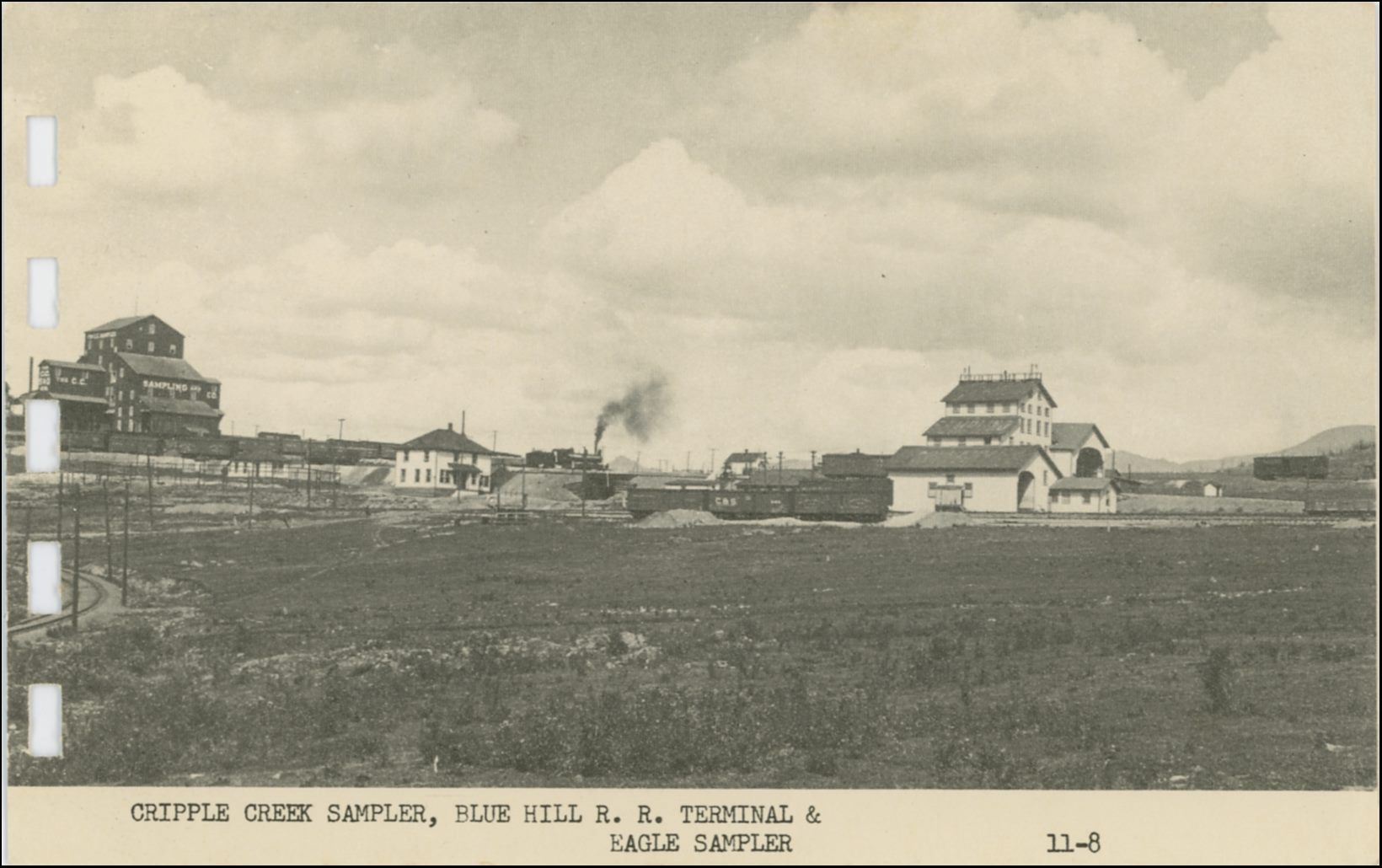
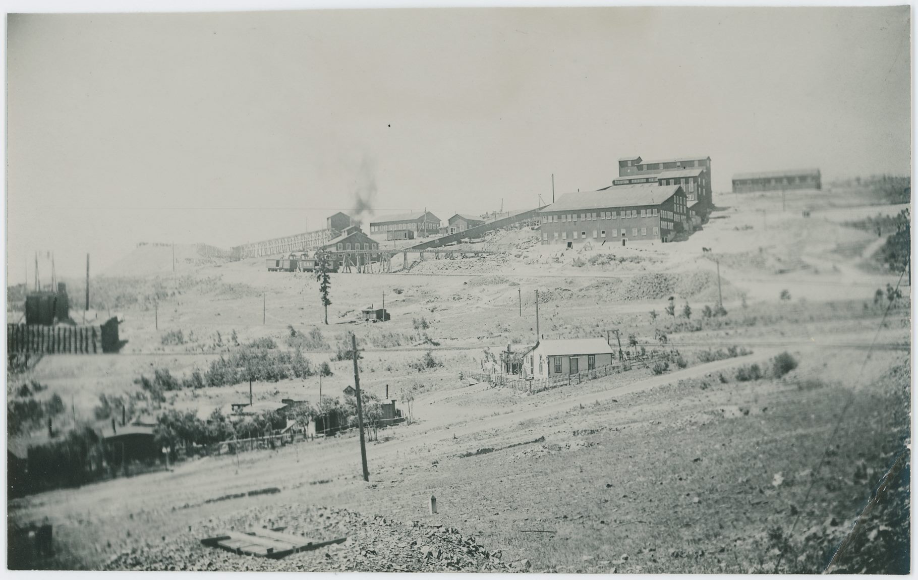
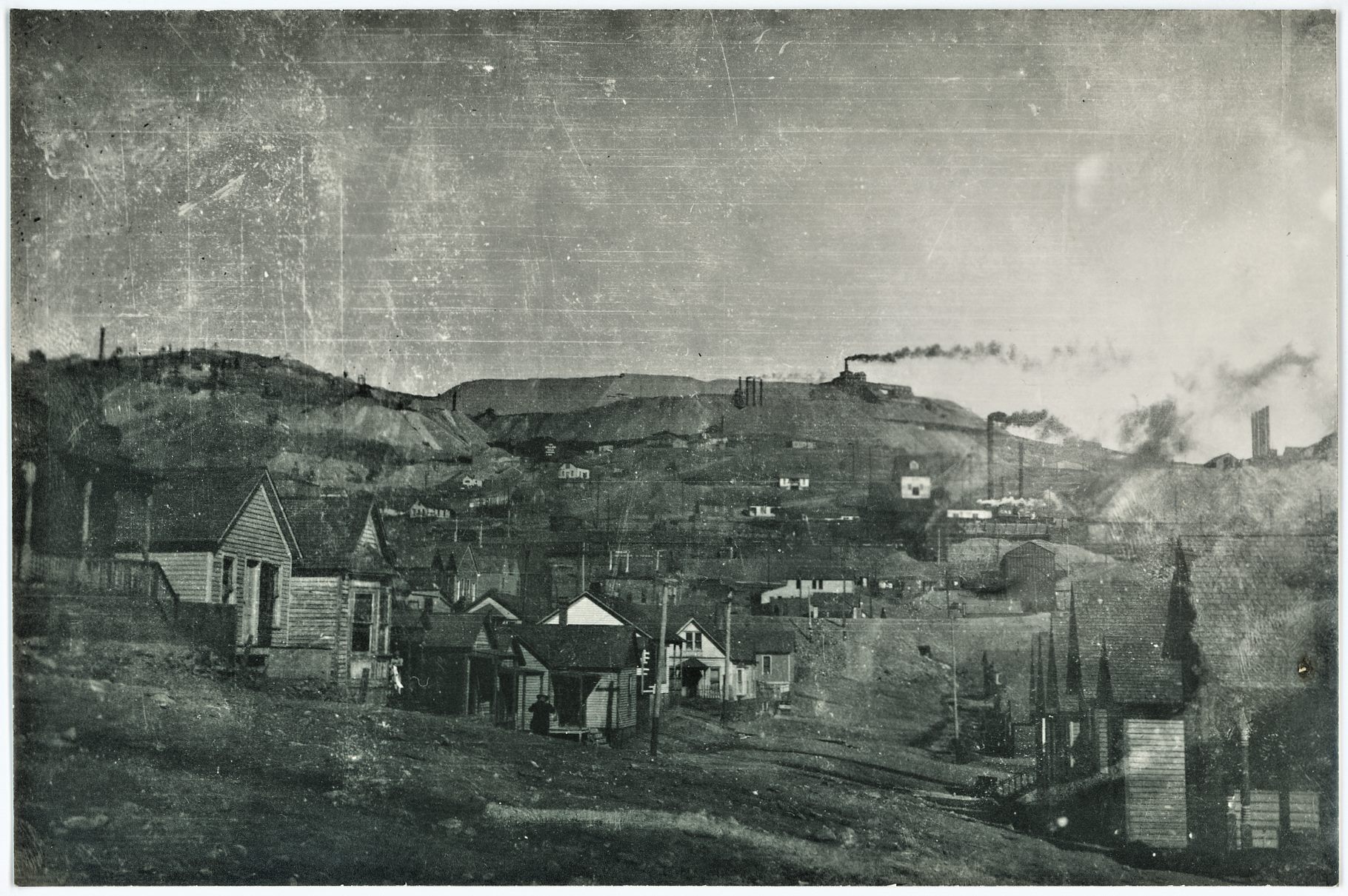
![click to enlarge A view at the Bank Block on the corner of Victor Avenue and Fourth Street, in Victor, Colorado, somewhere around 1910/1920's I assume as I still see Trolley Tracks in the street in lower foreground, and as they belonged to the Low Line tracks, who services shut down around 1919 and tracks must have been ripped out sometime after that.
In background left, about halfway up and just in from right-hand side, there is mining operations visible and my mind claim the one seen to be the Portland No. 2 Mine, mainly, as I do see some of the smokestacks of the No.2 shaft further into the view, at left of the structures of the No. 1.
Lot of signs visible, from left to right the readable ones are:
'Victor Studio'
'Isis 10¢' or 'New Isis' as I think it say above the doorway
'The Brunswick';
'H.H. Rosser | Pool | Cigars'
'Bar' -> other images indicates there should possible be the text of 'Monte Cristo' above it, but I've been unable to say for sure it is either there or not above the letters of the 'BAR' so maybe this is from before that name came into play?
'Bank Blk Rooms'
'Davis & Byler [?] Mining Engineers' as it stands in one of the windows out on Victor Ave.
'?. Freshw??' 'Diamonds' 'Jewelry'; Williams [?] seems to be written on one of those walkway covers which is coming out of the wall so to speak.](/04library/postcards/p-03692_victor,corner_victor-avenue-n-4th-street,old_bank-block_frmd.jpg)
![click to enlarge This is a view at what was left of the Granite Mine after the explosion January 8, 1911. Or possible some days/week after, not sure if the Head-frame is put up after wrecking of the original one, or if this was what was in use at time of the explosion that wrecked the Engine/Hoist House seen at left side.
The crib-wall seen in foreground is holding the ground back from the Golden Circle trackage that ran in the cut at the bottom. While behind the headframe is seen another railroad track, almost halfway down from the top on the right-hand side, this is the Short Line Ajax branch-line.
Dump at upper right I assume is part of the Portland No. 2 dumps, while the mine seen more to the left near top of image is at the moment of writing this [28.05.2018] a mystery mine to me, actually both, as there is one more even higher up…](/04library/postcards/p-03691_granite-mine-ruin_scene,uphill_frmd.jpg)
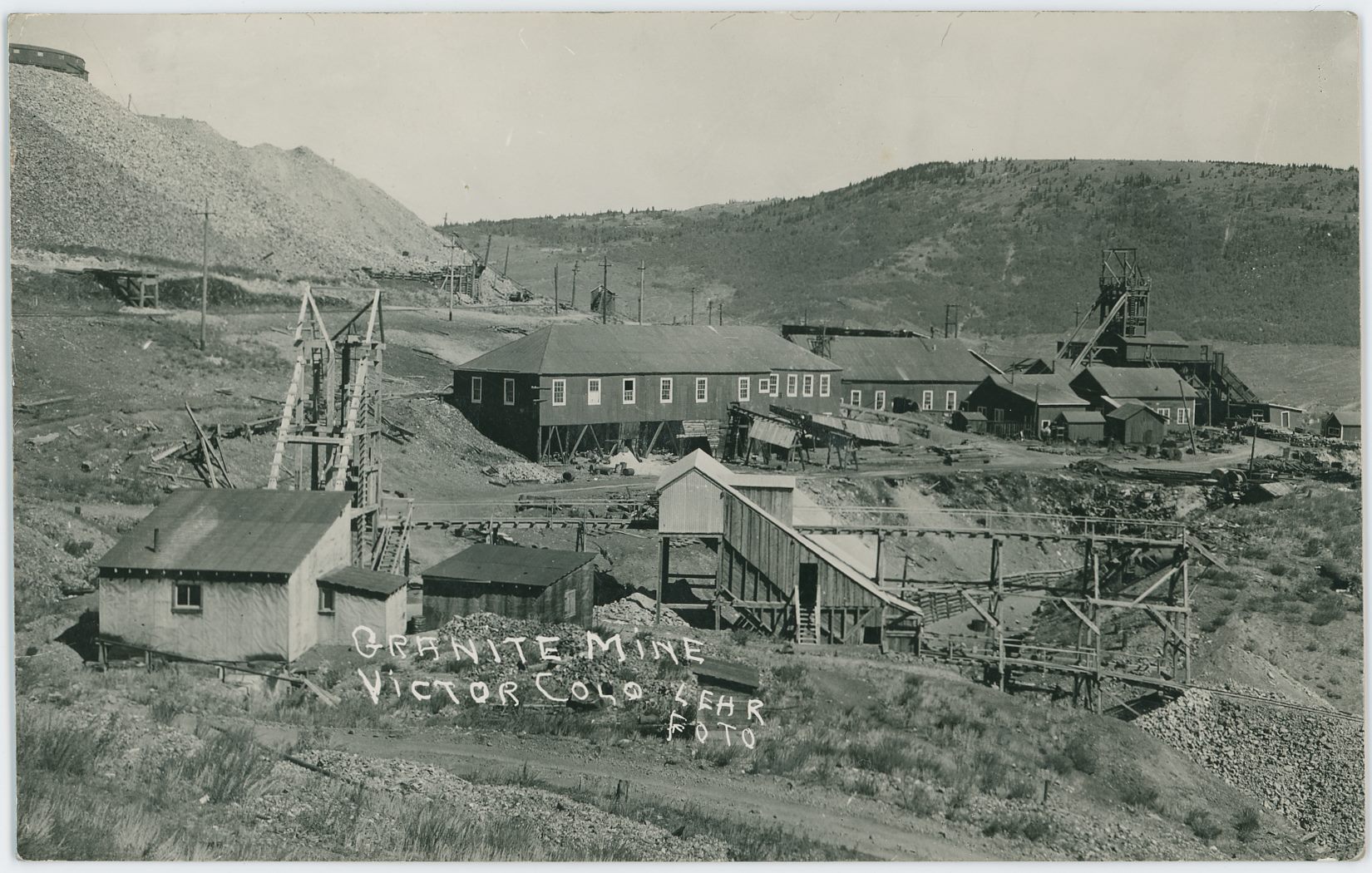
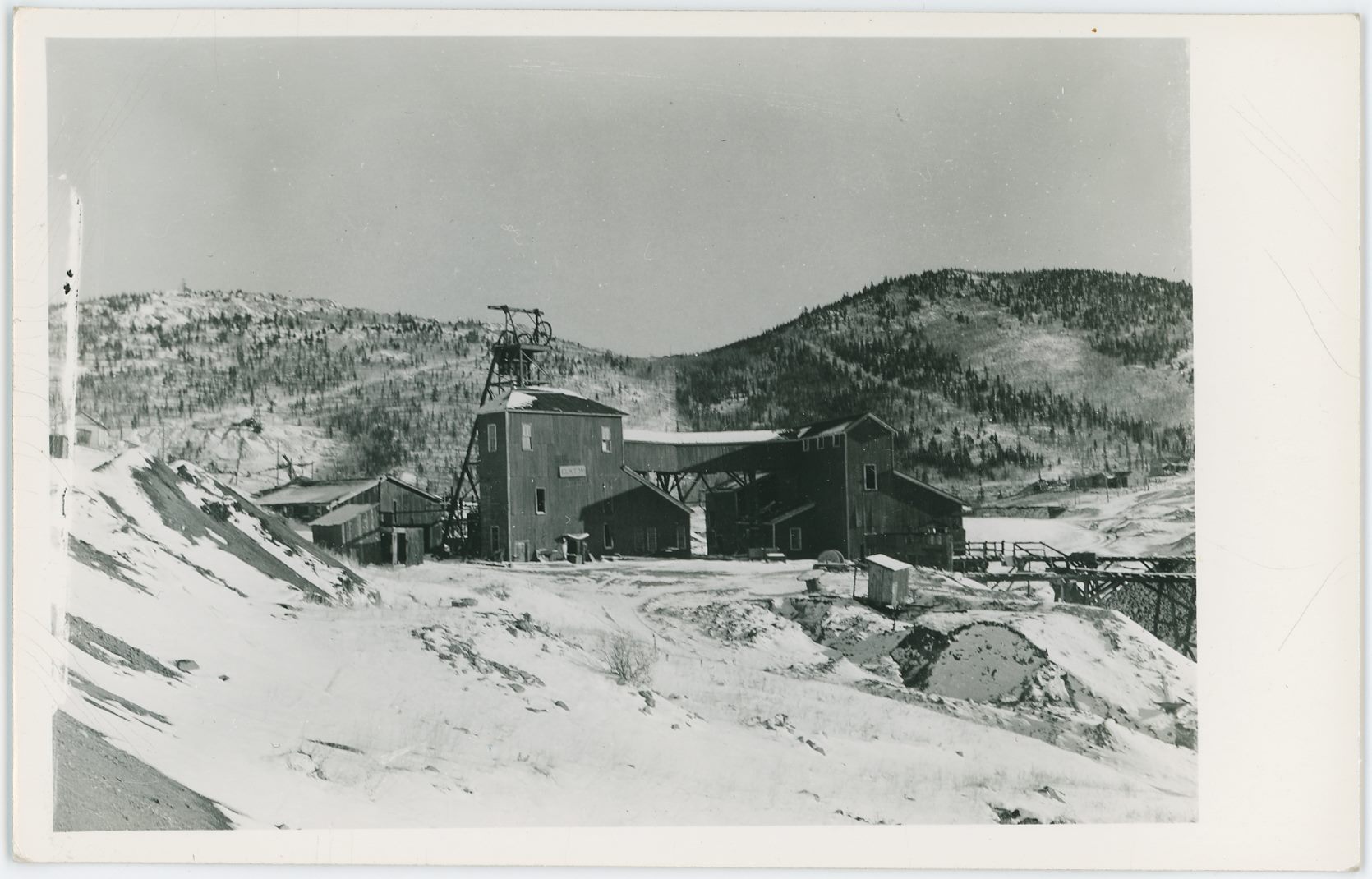
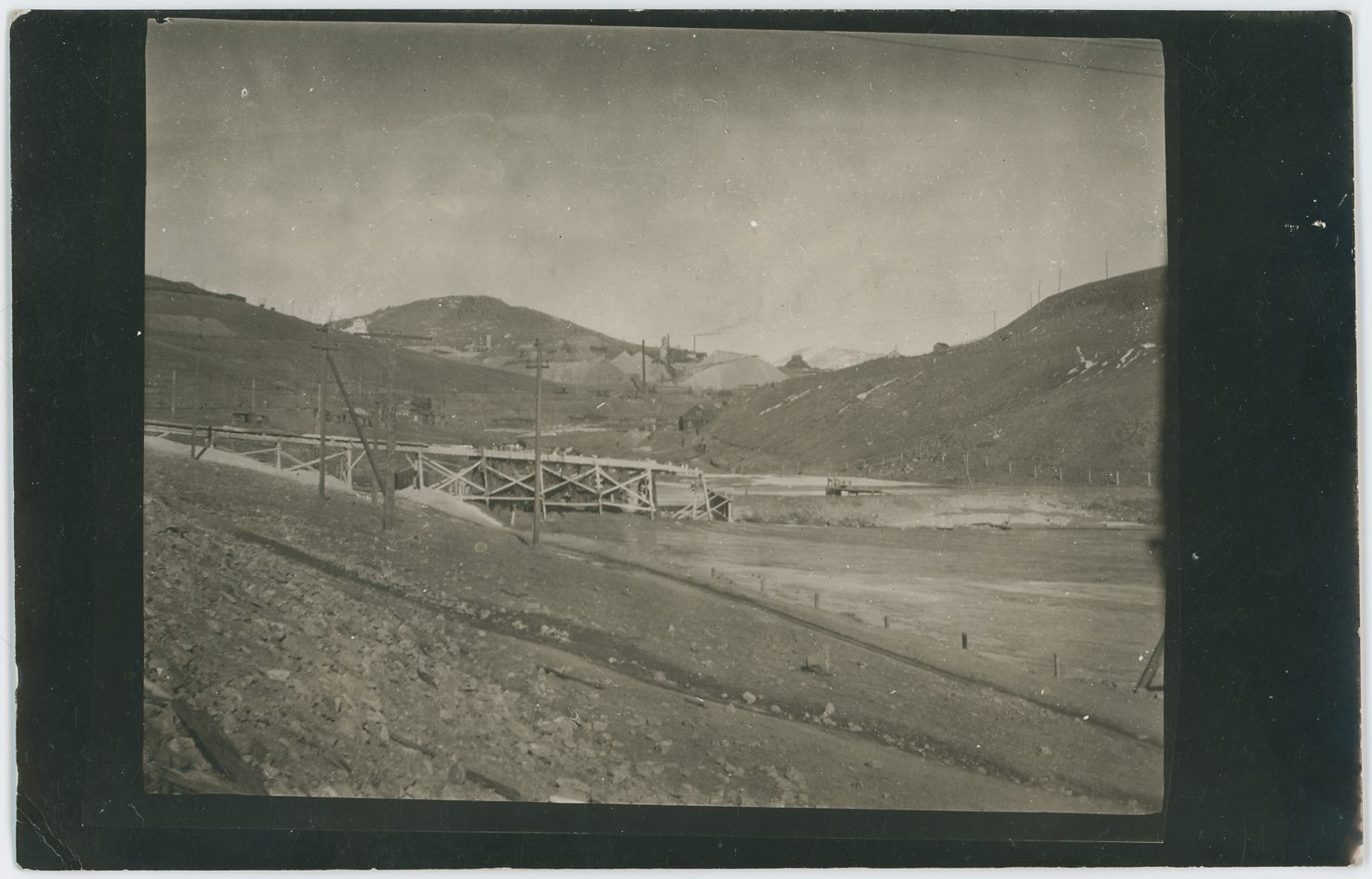
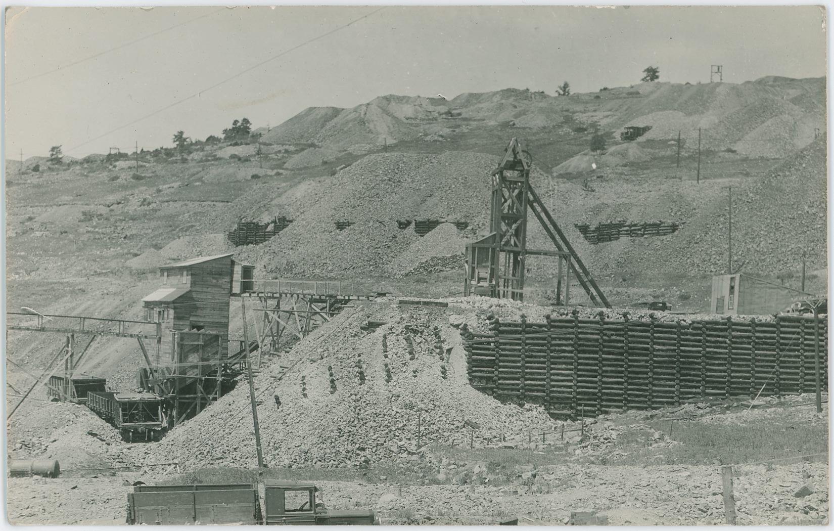
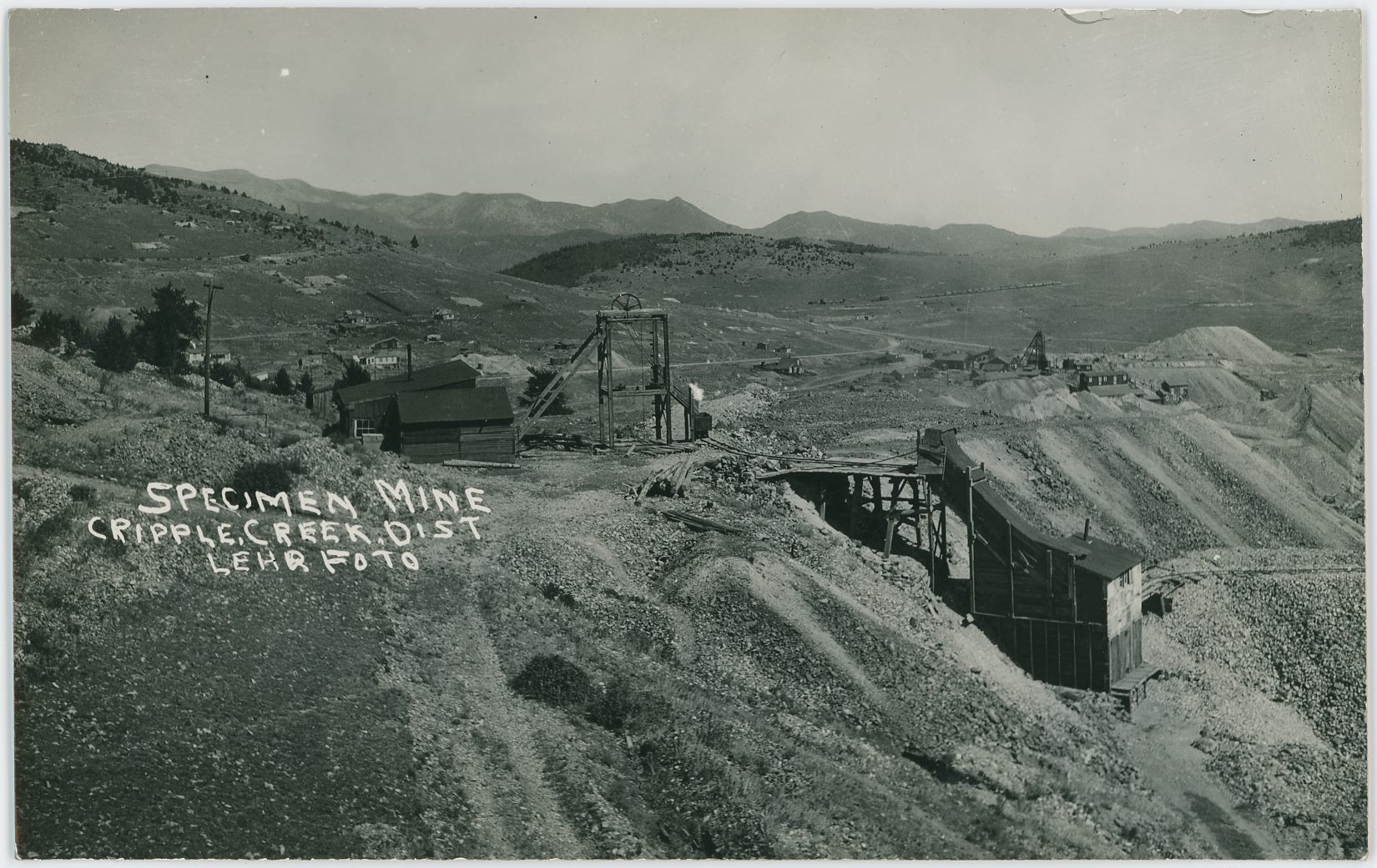
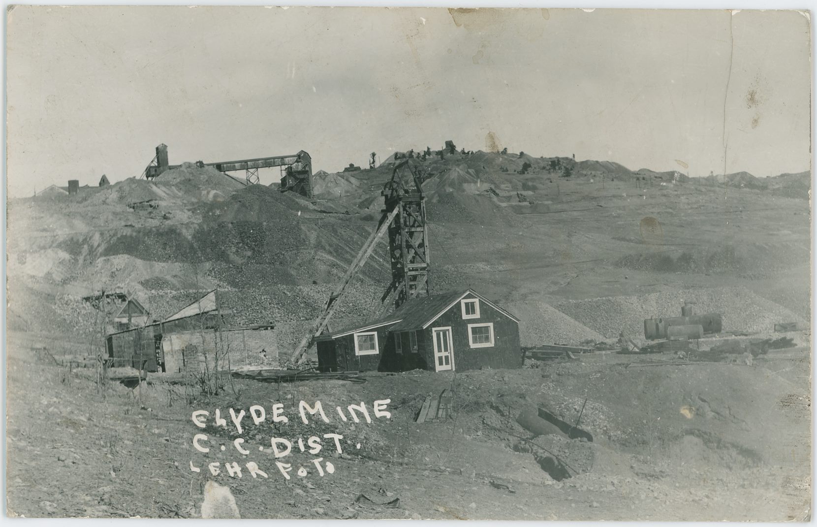
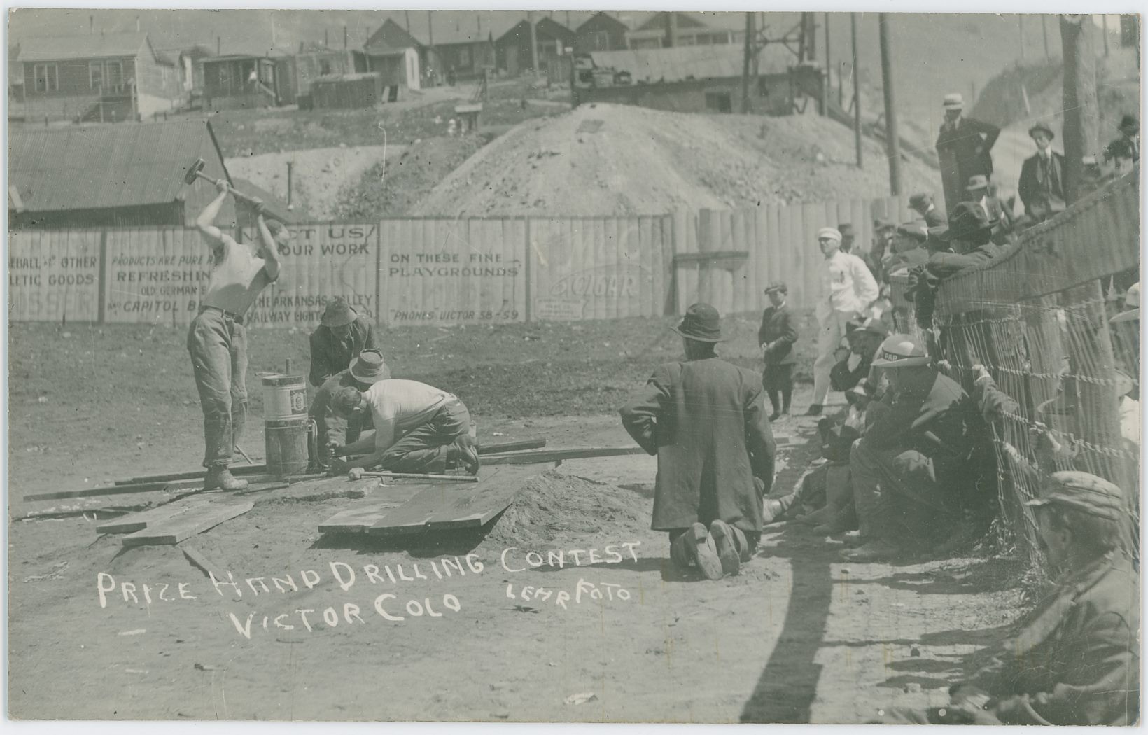
![click to enlarge Dating this image of the Independence/Portland Independence Mill is not the easiest part, according to my husband the automobile seen is one from the 1920's due to its shape he said, and Sanborn 1919 map fits the railroad track quite well, so I would assume this is in middle to late 1920's. The track in the foreground still has trolley poles and hangers along the line, but the Golden Circle tracks is gone and only the roadbed is seen, with a switch from the High Line/Short Line roadbed up to a piece of the old Golden Circle roadbed, and then it will turn away to serve some part of the mill outside the view at left, according to the Sanborn map on Sheet 9 of the Victor 1919 set.
The Trolley system in the District suffered a major fire in the Cripple Creek barn in 1919 and closed its operation that year, but that do not mean all poles, wires etc., was removed at once, hence not that useful to date with. But, I also see that the High Line was abandon in 1923, making this possible to be around that time frame. Info I have do indicate that a switchback spur existed from the location known as Taylor to the Portland Independence Mill till 1930, possible this might be part of that; hence, I can't tell for sure at this moment in time [27.05.2017]. I am not even sure where Taylor is, if it is the location near M.T. Bull Hill yards at Victor Pass, or the old location below the Portland No. 1 mine, info is a little scarce for me, but I think it is the one on Victor Pass.](/04library/postcards/p-03197_independence_mill_frmd.jpg)

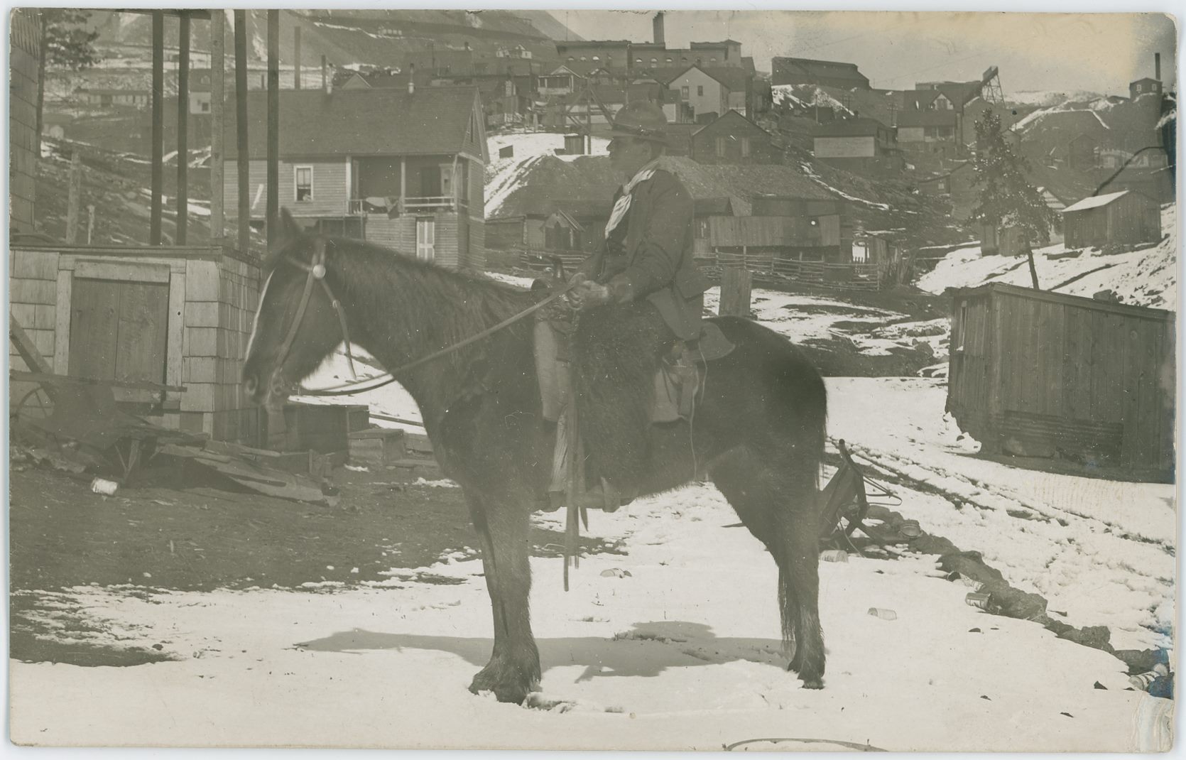
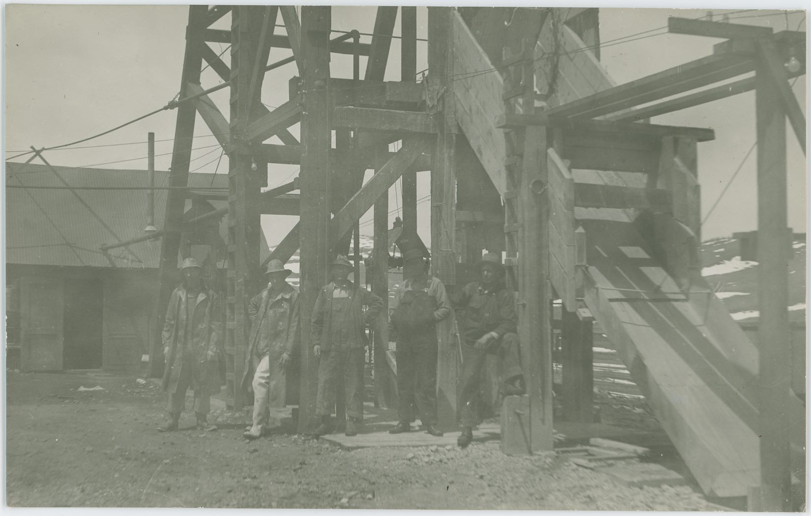
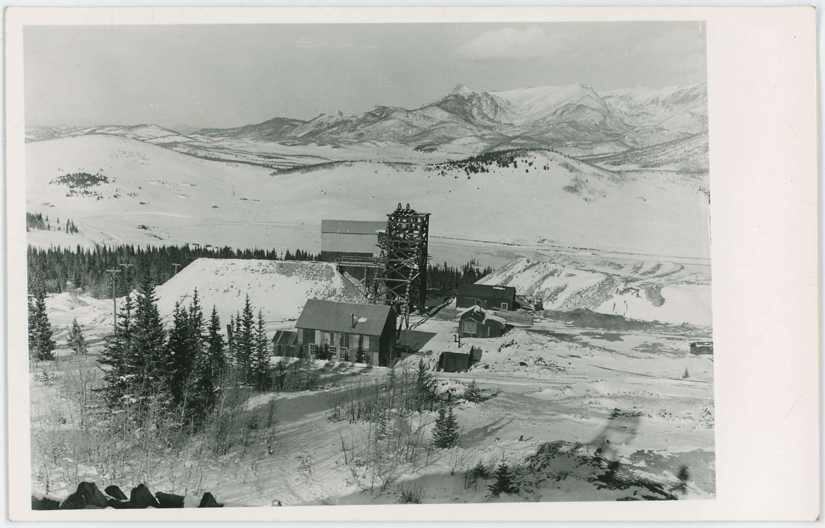
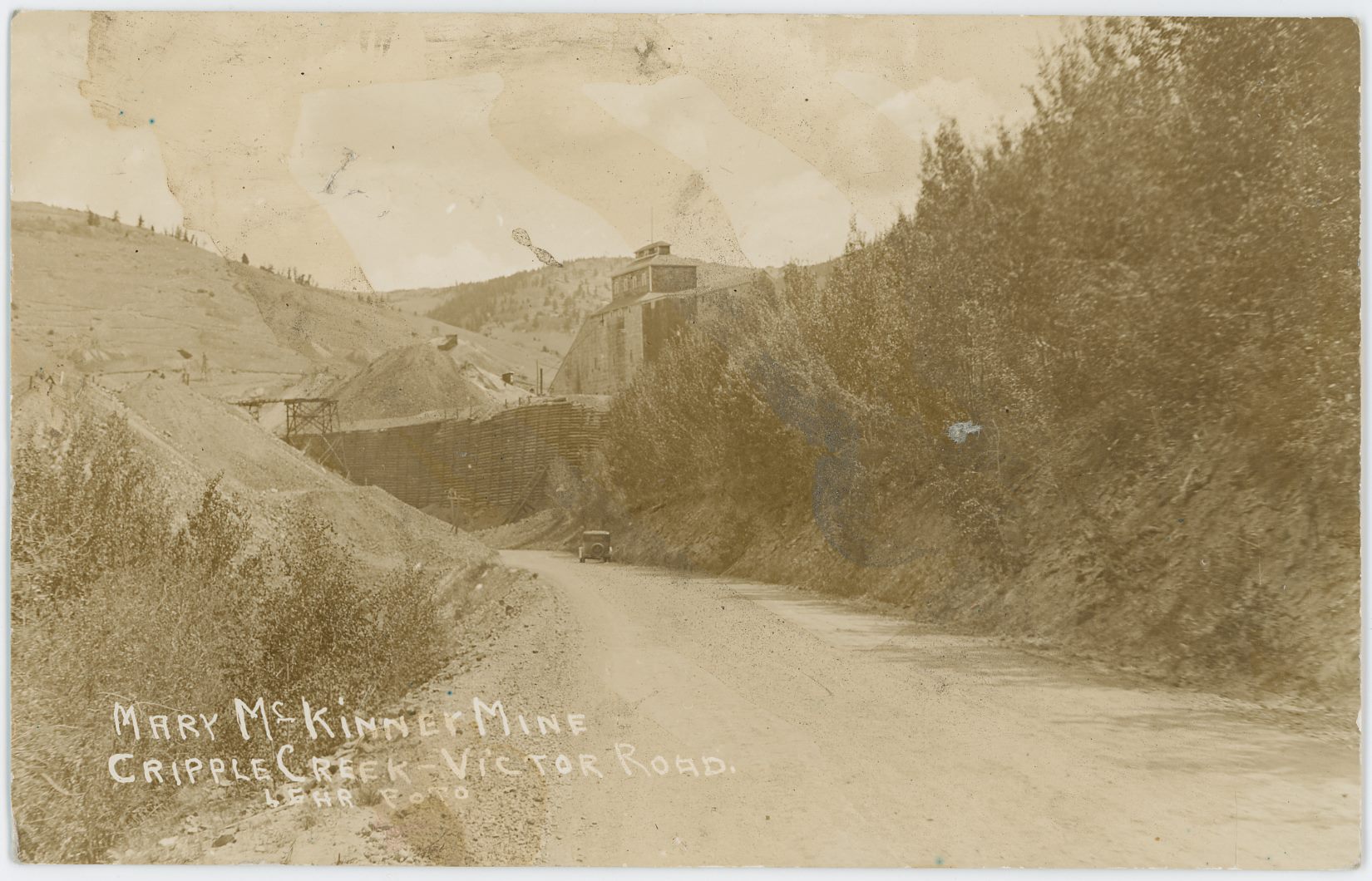
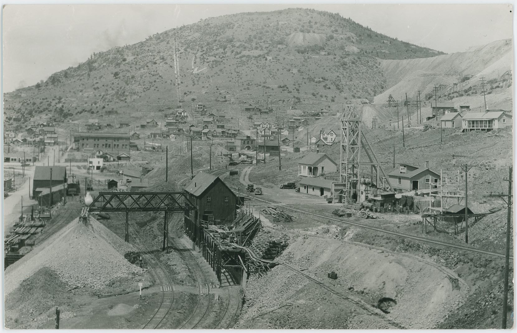
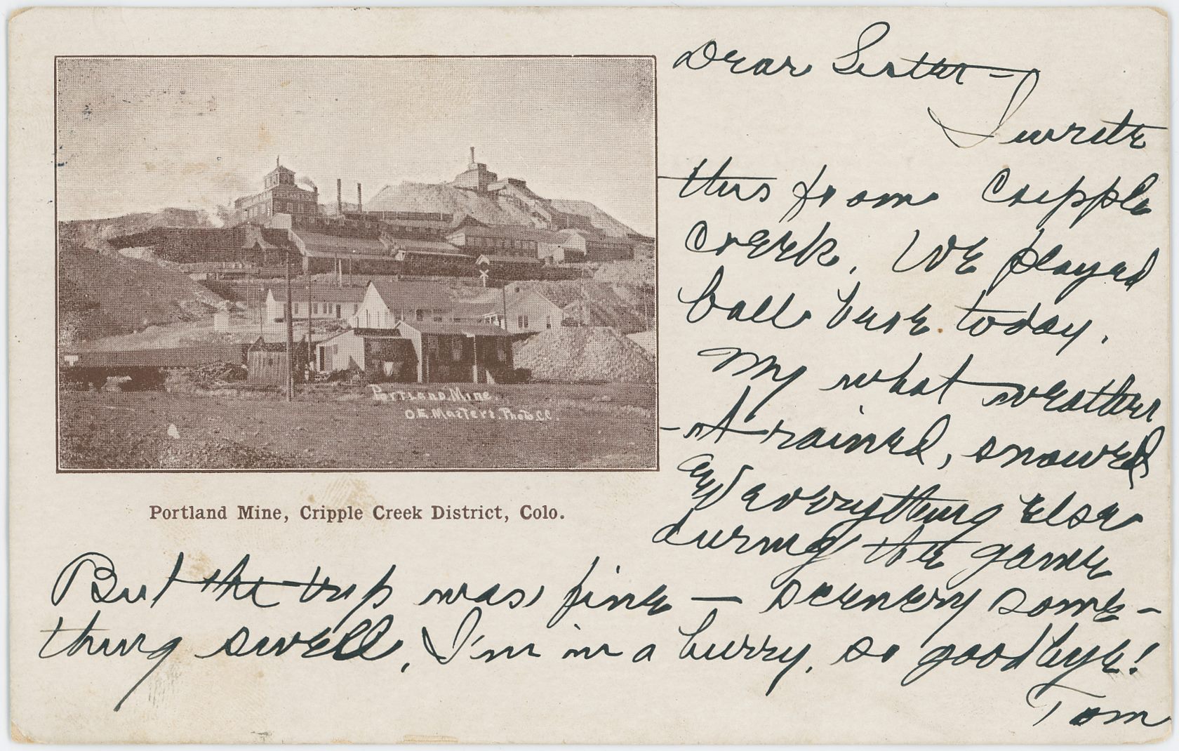
-enhanced_scrn.jpg)
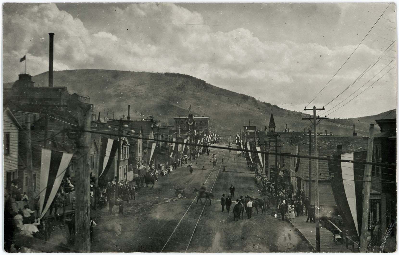
![click to enlarge I have the known postcard versions of this view marked as a Tomer Jacob Hileman photo, but I am unable to find my source for that, so I think that I might be mistaken in that credit to him as a photographer. So, I would say that the image source is from an unknown photographer, at least till I find my source, or a card view with his name on it. By time of writing this [13.04.2018] I know about 5 editions of this colored/painted view, three of them postcards with a millimeter or two differences on one of the sides, and two of them I have in postcard folders.
The view itself is of the massive Shaft House of the Anchoria Leland Mine, up on Gold Hill, with a dump trestle in the foreground and partly seen roof of the Ore-house on the right-hand side in the foreground. I have a little bit of hard time understanding the 1896, 1900 and 1908 Sanborn maps showing this mine structure, as the north direction changes on the 1908 map, and the scale of the structure changes as well, but mostly I think this structure was more or less looking like this from at least 1896 till passed 1908, as it don't show up on the 1919 Sanborn map from the District.](/04library/postcards/p-03341_anchoria_leland_mine,cc_district,colo_frmd.jpg)
![click to enlarge While the image quality is not that great due to the age and distance and all that, it still is a very important image to have! I struggle a little dating it as while it has a post stamp of 1908, I am unable to find the switchback from the M.T. up to the coal bins of Elkton Mine, which is shown on a USGS topographic map dated 1902/1903, which together with the showing of the Low Line which dates this after 1900, should narrow the timeframe down quite much, but the Elkton Mine structures gives me the impression this is way later then near 1900.
This due to the fact Sanborn 1900 (CC Sheet 17) shows a different structure here, while photo matches better with Sanborn 1908 map (CC Sheet 30). But then again, that later map fails to show some of the mine structures seen here so that suggest this view predates it. And as my USGS map show a spur not here I must admit that this is from a timeframe of less than 3-years. More research is needed.
Near bottom of this view lays a row of houses which forms the upper part of the settlement know as Eclipse, along Eclipse Gulch, stretching from about where F. & C.C. crosses the gulch and to around where the Economic Mill was further down the gulch at left, as far as I know.
The grade of the F. & C.C. is seen about 1/4 up from the bottom, with a passenger train near right-hand side, heading towards Cripple Creek. There are several mine operations seen below and above that grade, but my knowledge is way too limited to tell anything about any of them.
The town of Elkton is seen on the lower slope of Raven hill in the right-most half of the photo around middle of view top/down, where the large Elkton Mine makes up about center of this card, with the railroad grade of the M.T. running just left of the mine.
The Low Line is seen about 1/3 up from bottom near right-hand side, climbing the hill towards left and about middle top/down and about 1/3 in from left-hand side it changes directions and goes towards right, cross over the M.T. on trestle and passes the Elkton mine on the right side.
The Thompson large Shaft House (I think) is seen about center of view top/down and about 1/5 in from left-hand side, sadly I don't know of any Sanborn map of this structure, not that I can recall at the time of this writing [08.08.2017].
There is also another mine structure at right foreground of the Thompson, left of the Low Line grade, but I dare not guestimate a name for that mine, nor do I dare take a stab at the name of the ones seen inside the town of Elkton either. One is easy to spot, just right of the mainline of M.T. with a large dump area, the other is more hidden among houses, still with a dump though. One day I hope to learn all this, one day.
Raven Hill has it shares of mines as well, but the one I sort of care about is the Bostwick Shaft House, seen about 1/3 down from top and slightly right of center of view sideways, up from right-hand side of the Elkton mine.](/04library/postcards/p-03287_birds-eye_view_of_elkton,colo_frmd.jpg)
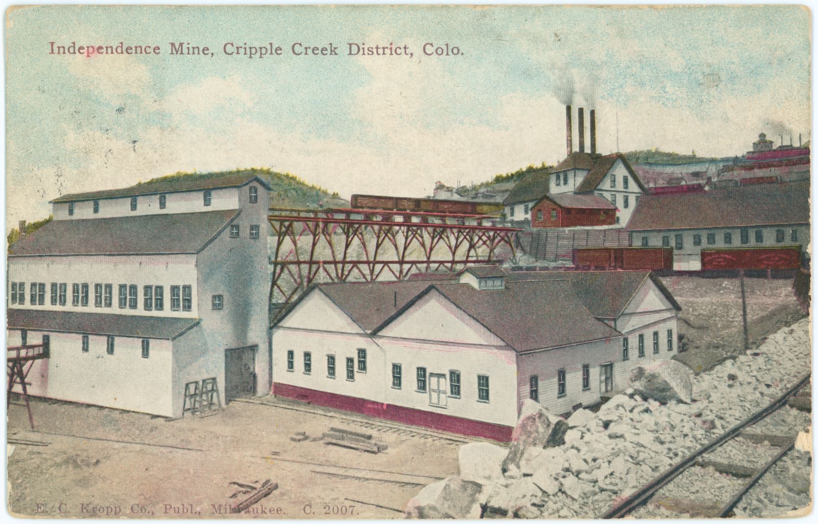
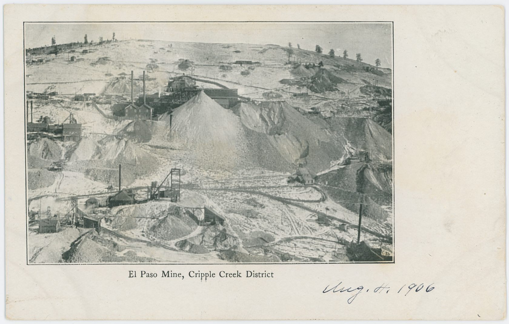
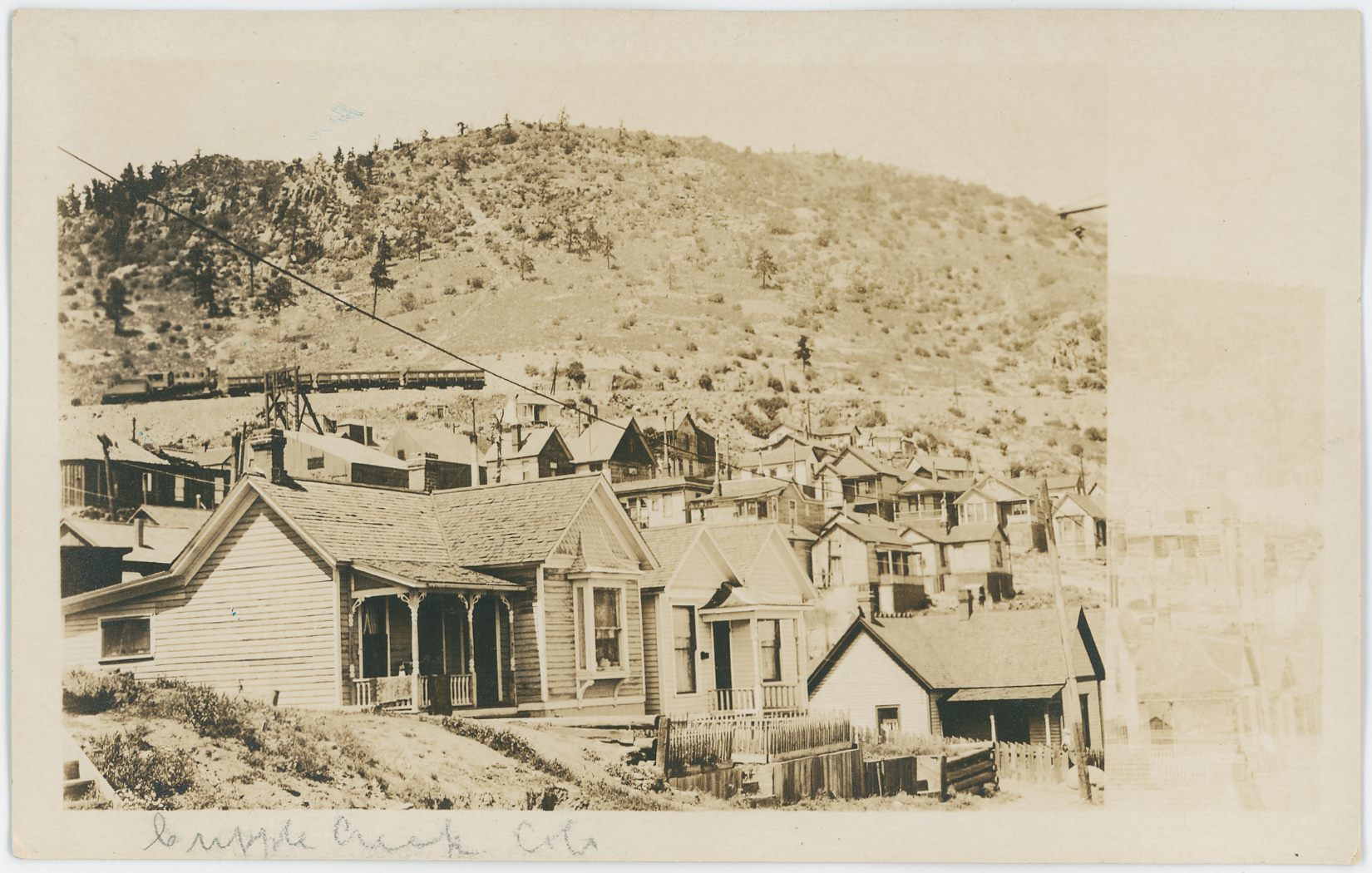
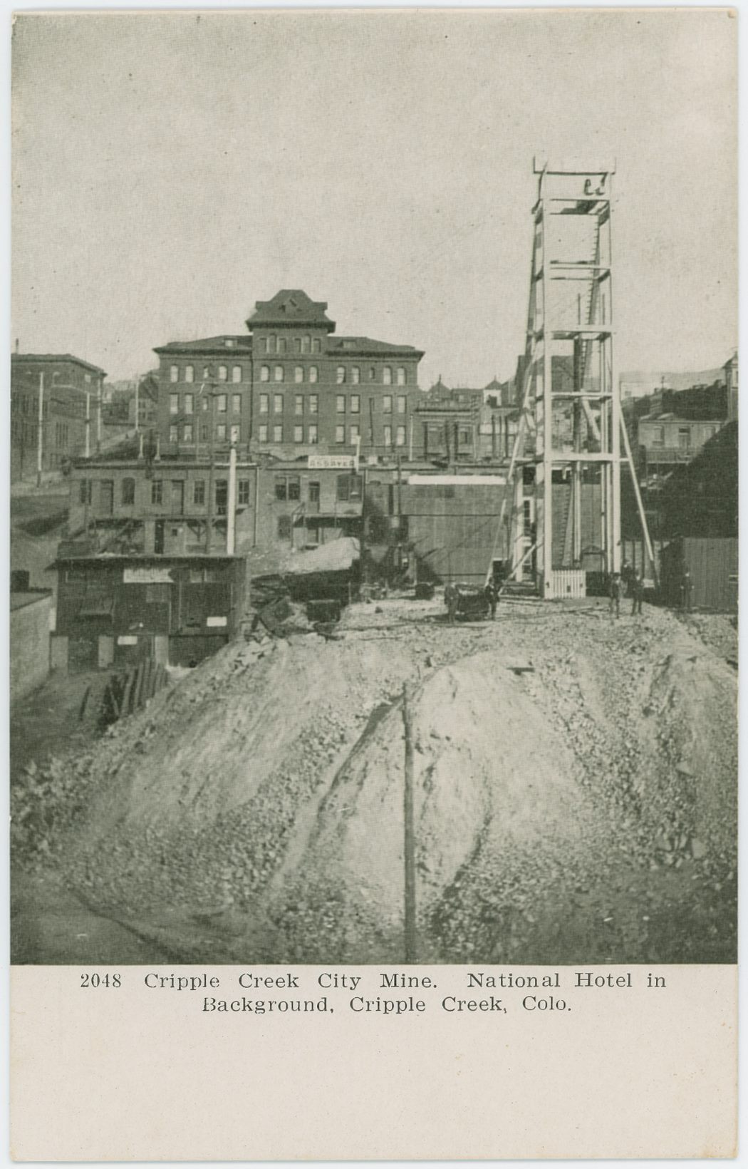
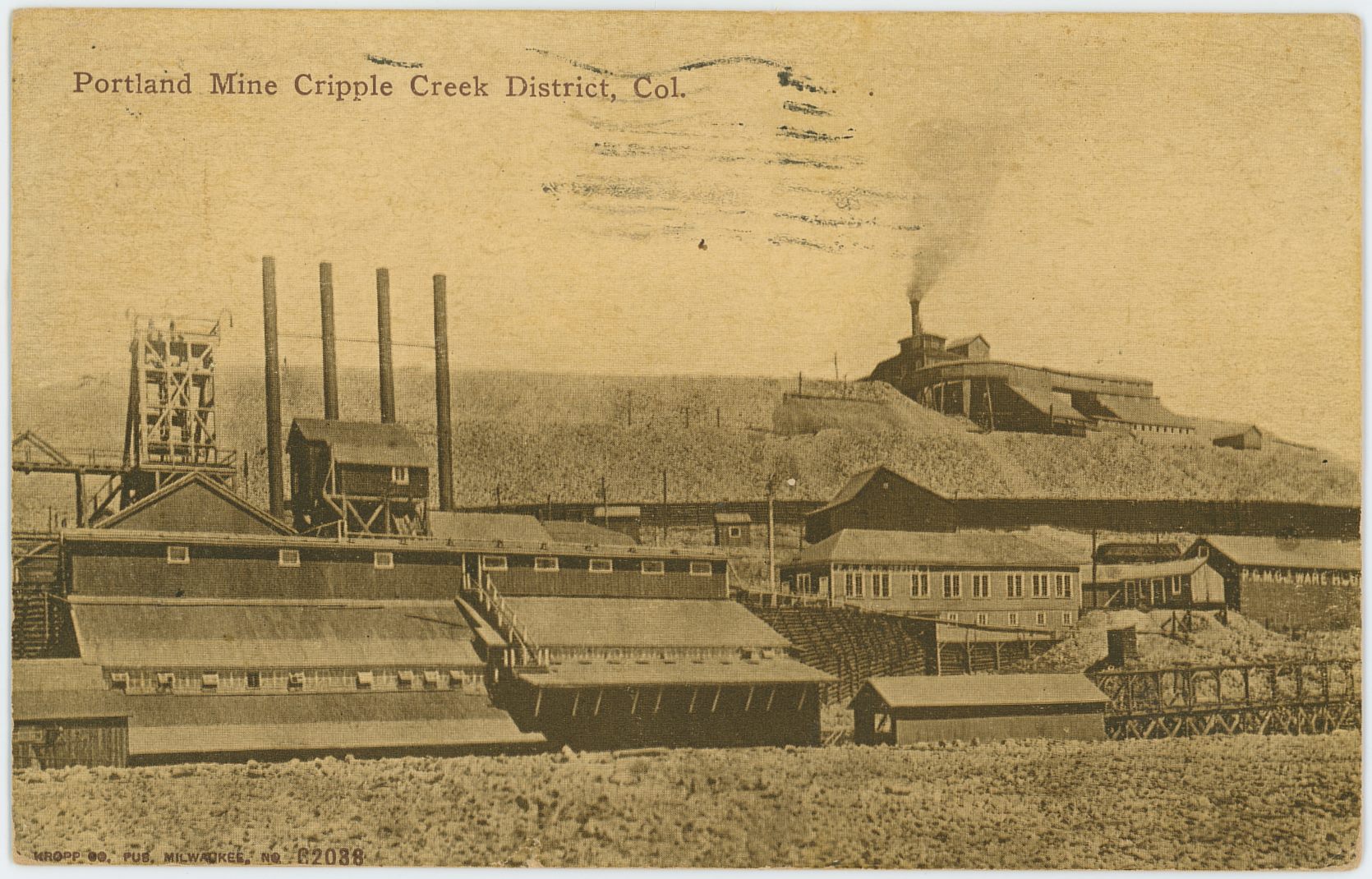

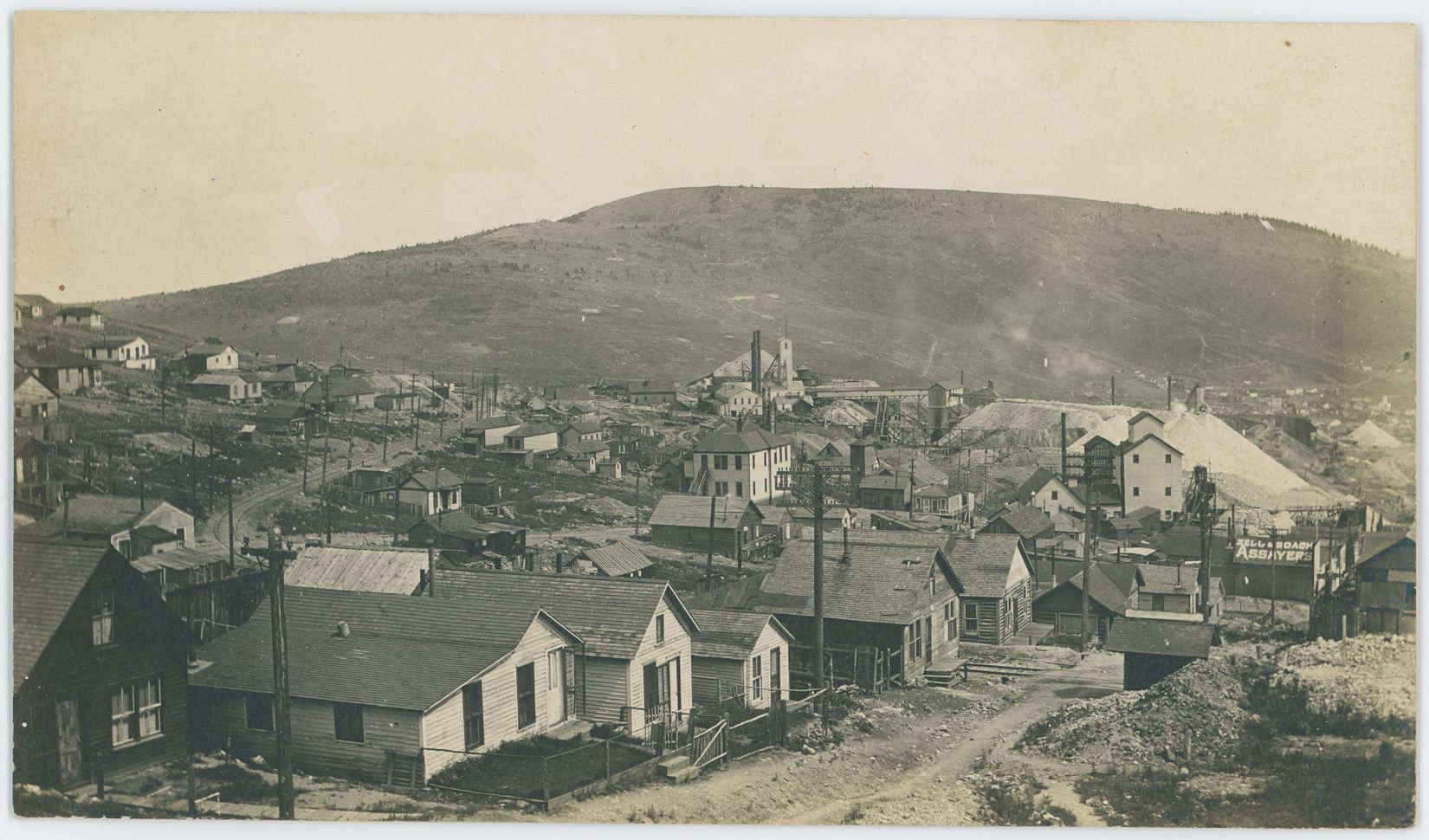
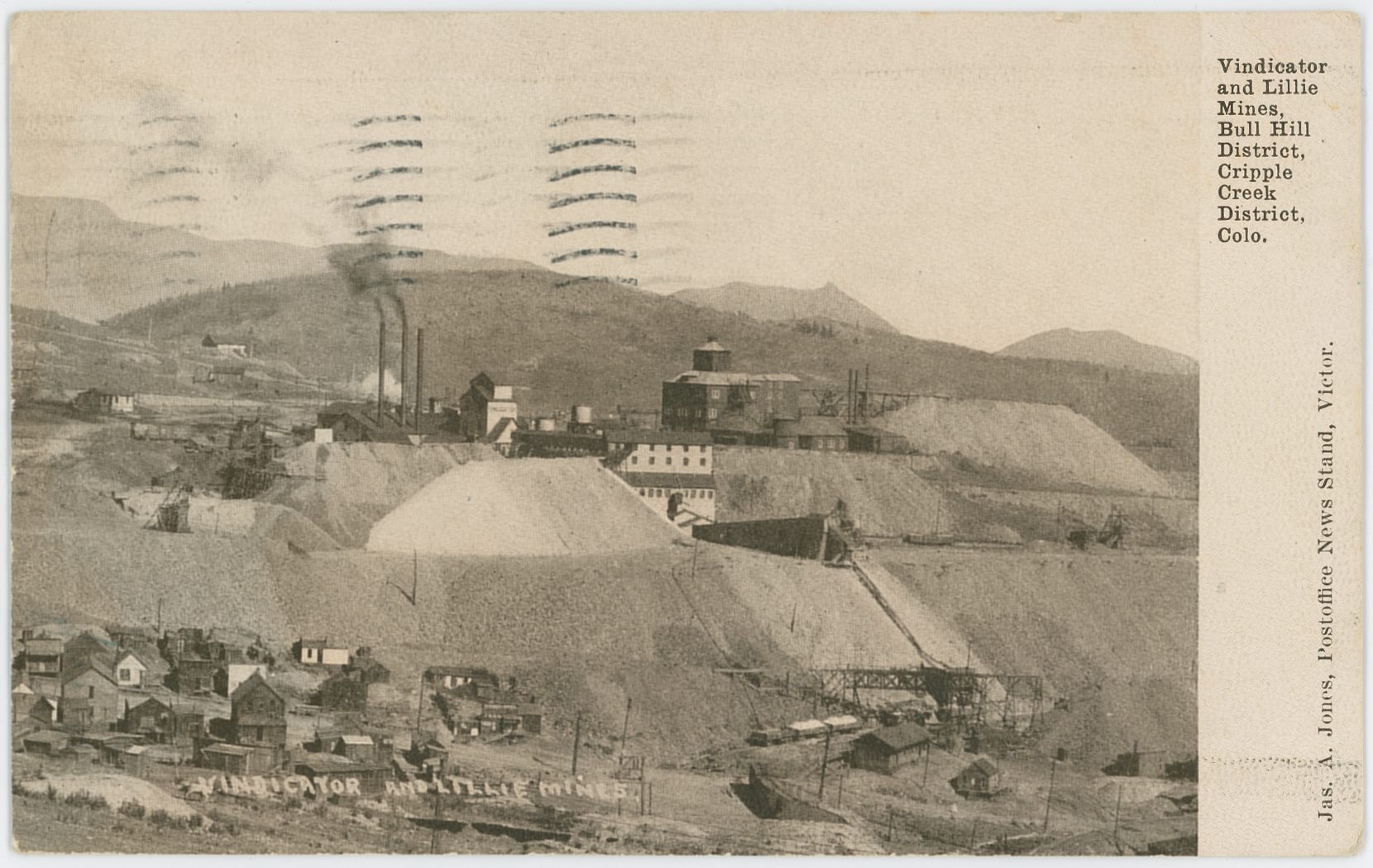
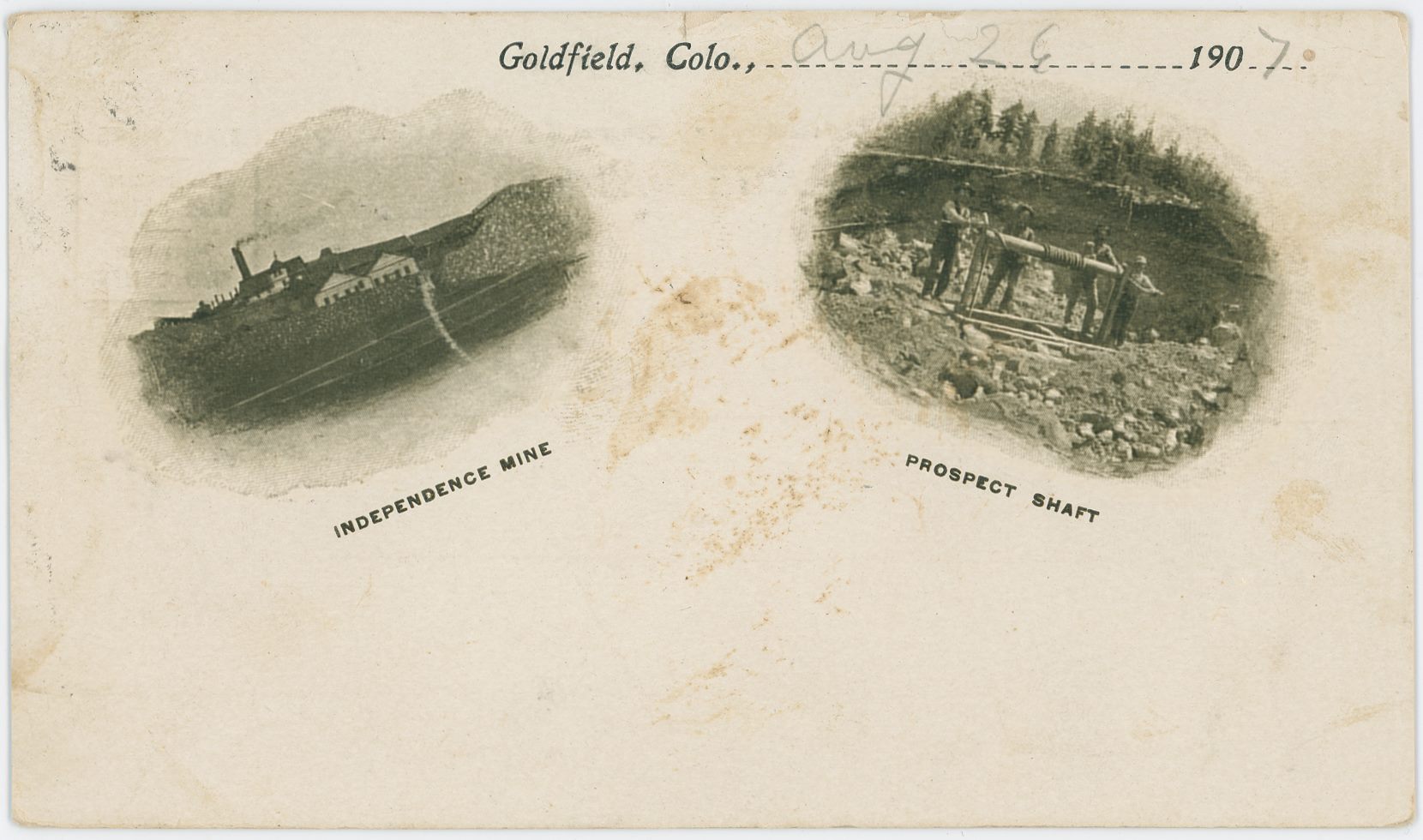
![click to enlarge This view towards the Anchoria Leland Mine on Gold Hill is marked as a Julia Skolas photo, but I saw on my 1200dpi scan that there is some text that is scratched out in the dump part below the small cabin about 1/5 up from bottom. I can't read it though, the job was very well done, but it either hold just a text info about this scene, or possible another name as I've seen it happen before, and I am a little unsure if this is really a Julia Skolas photo or if she only got the rights for it. I wonder this due to the fact I can see the Trolley hanging wire in foreground right, and this part of the loop on the original High Line that was below the Anchoria Leland mine was abandoned in 1903, but Julia Skolas did not arrive in the District before about 1906-1908. The sources various a little, most say 1907, one says 1906/1907 and one say 1908. Hence, I wonder a little if she took this herself or bought the rights from whoever took it a few years earlier…
Either way, it is a good view of the side of this structure, and while my card has some damages to it, it is not that severe thankfully. The Head Frame in foreground right, lower right-hand corner, is at this time of writing [06.07.2017] one of the many unknown smaller mine operations.](/04library/postcards/p-03270_anchoria_leland_mine,seen_from_near_trolley_loop_skolas_frmd.jpg)
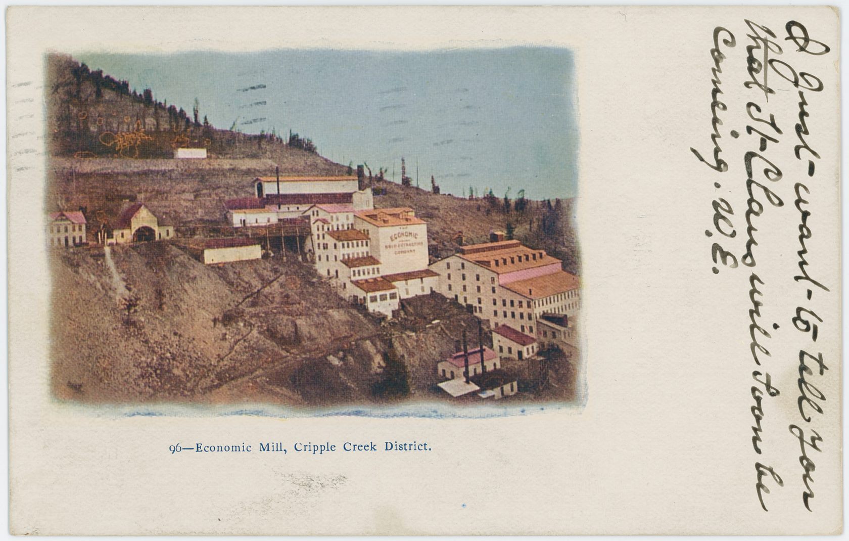
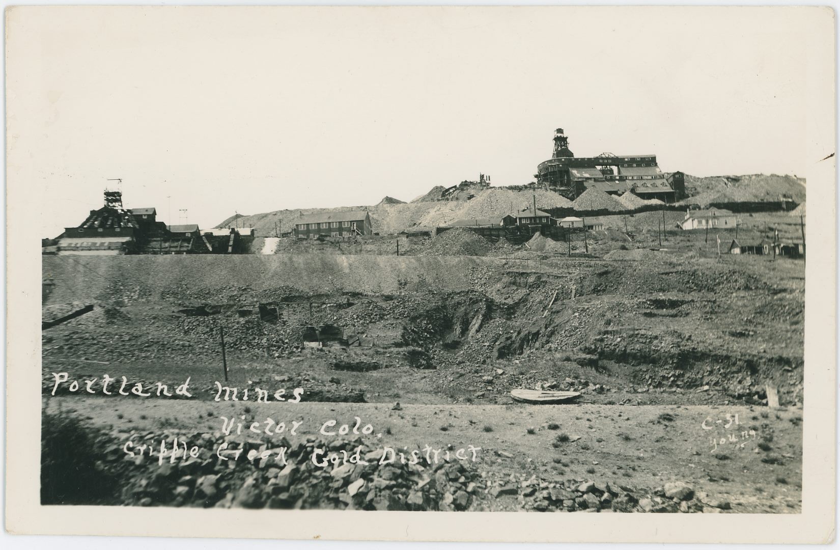
![click to enlarge While this card is not marked, the Text Title has same type of writing as another card with the Young name on it, so I assume it is taken by the photographer named Young.
The Scene is in lower Poverty Gulch, looking towards Gold Hill in the background, with the large dump and operations of the Abe Lincoln Mine seen at the edge of the left-hand side, going into the image towards right. The Dump with a hole in the foreground I can't say at this moment in time [13.06.2017] which claim it was located on, so sorry I can't help with that.
What I can say is that I assume this view to be in the 1930's or so, and there are seen two switch-stands about middle top/down on the right-half-part of this view, where I think the one closest to the right-hand edge is the one for a siding at the M.T. Wye below the old Midland Sampler site, while the one to the left is the one for the upper spur that went to the top side of the same Sampler. There also appears to have possible been a loading dock of woods at the end of the spur near the end of the mine dumps of the Abe Lincoln.](/04library/postcards/p-03248_ab_lincoln_mine_cc_colo_frmd.jpg)
![click to enlarge This is not the best view of this area, due to the print type of process behind this postcard. It will never scan well and details are lost to the dots making up the image. But, it does show yet another image that at least at one time did exist out there as a negative, with several mines visible. Also, we see what appears to still be left standing two structures down in what once was the town of Anaconda – seen about center nearly at bottom edge – one with a false front type towards left.
* In the foreground, along bottom part, is structures belonging to the Anaconda Mine, I think the long surviving Blacksmith shed is the one at lower right-hand corner.
* The Mary McKinney Mine is seen about 1/3 down from top and covers about the left part of this image, from center where the large/massive Shaft House is seen with its big dump and large crib-wall down towards the road that used to be the F. & C.C. roadbed.
* The Katinka Mine, often seen named as the Chicken Hawk Mine – even if most of the Chicken Hawk claim is as far as I can tell on the other side of Guyot Hill – is seen about 1/3 in from right-hand side quite near top of the card with the top of Guyot Hill behind it. It possible may also lay on another claim, but at time of writing [29.05.2017] I just go with what my old USGS map with numbered mines on them gives me of info, one day I may learn more/better info and will fix it then.
* Not sure what mining operation is seen above the Mary McKinney and to the left of the Katinka, may be same mine operation, some other mine, so, for time being, I just leave it be.](/04library/postcards/p-03174_mary_mckinney_mine,cc,colo_frmd.jpg)
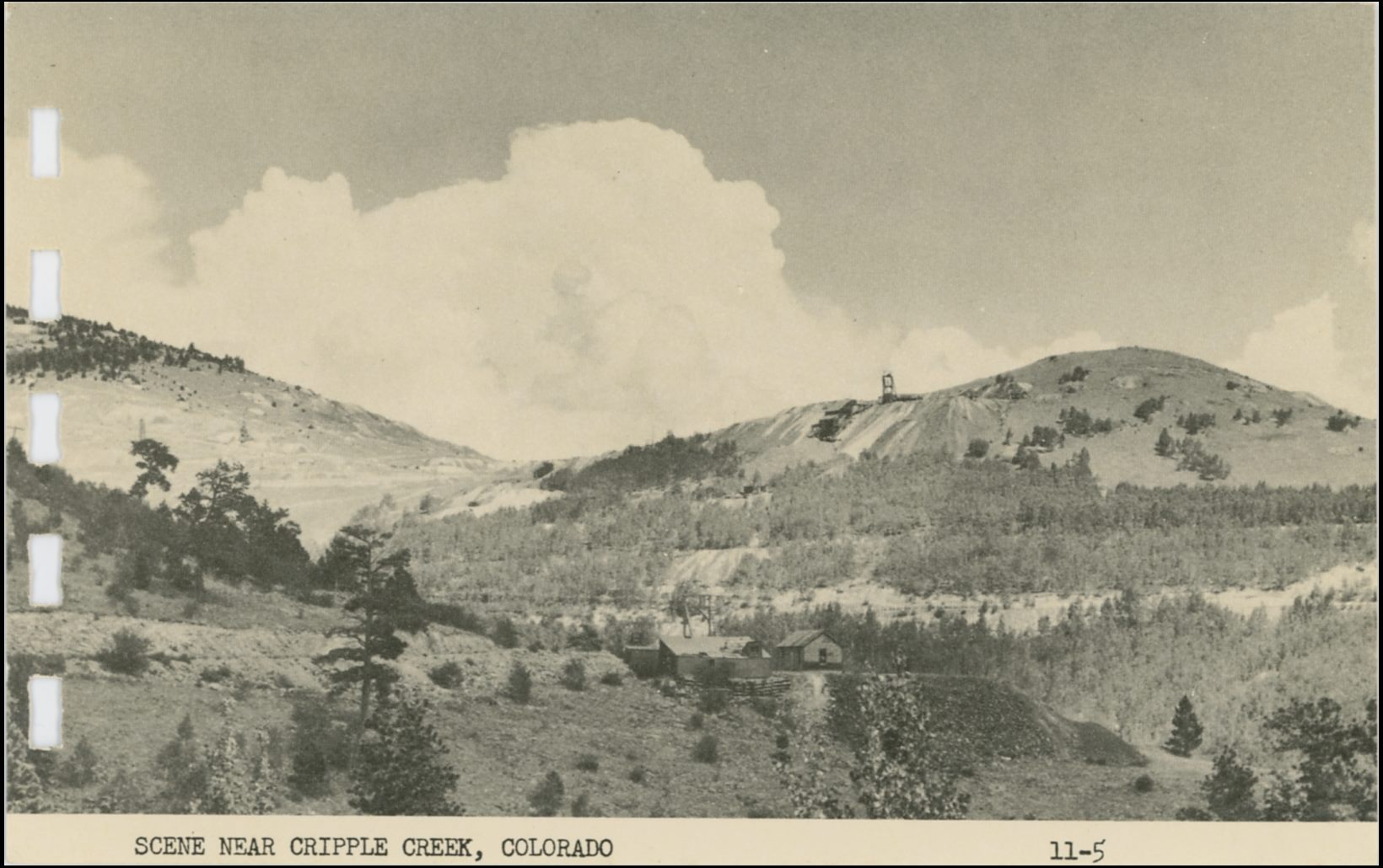
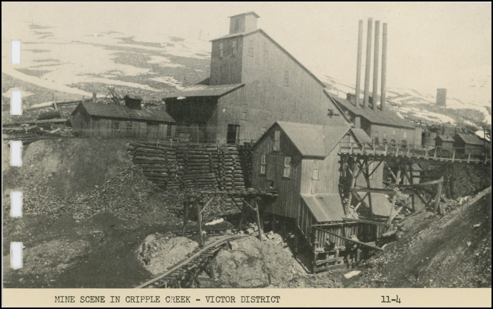
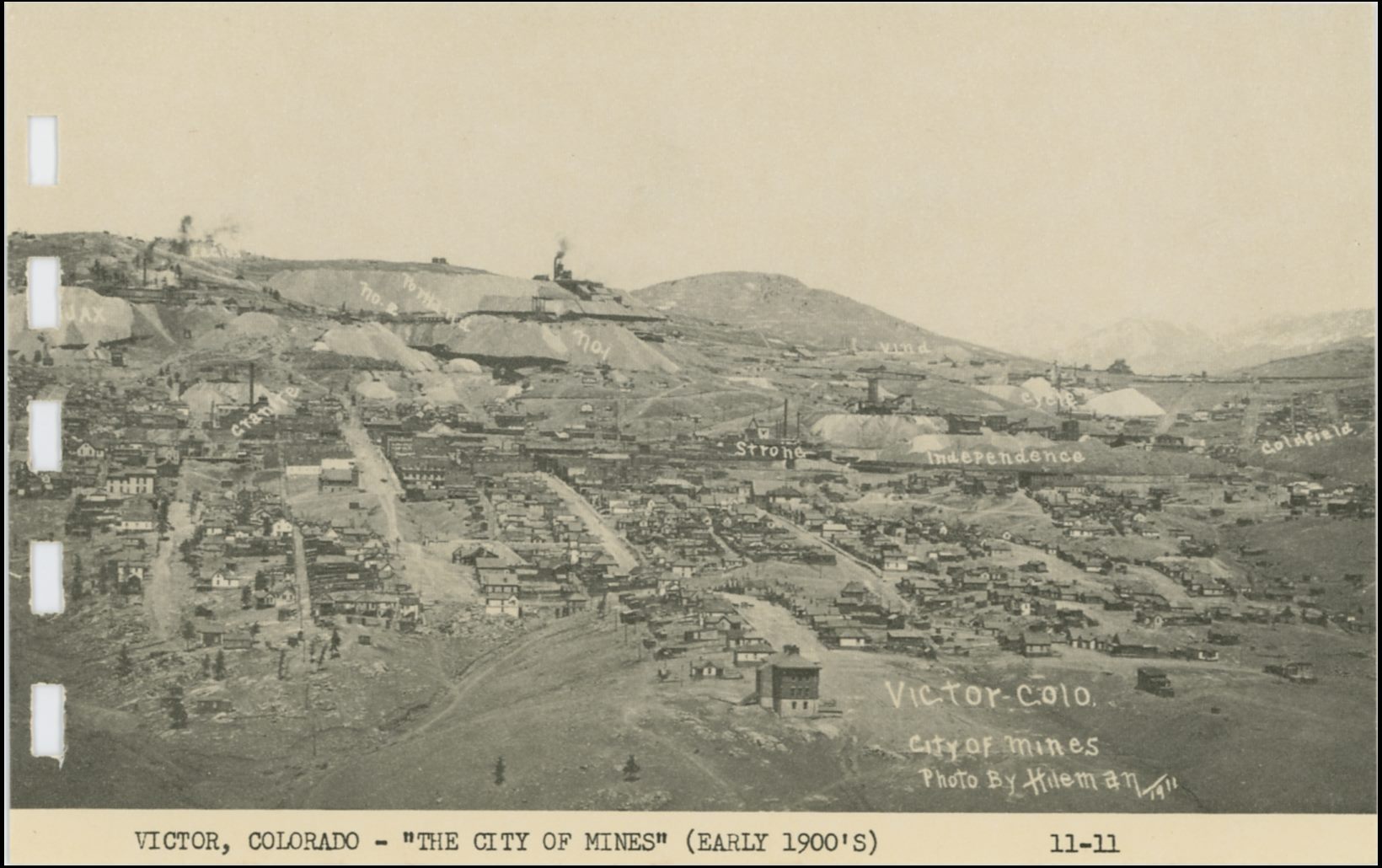
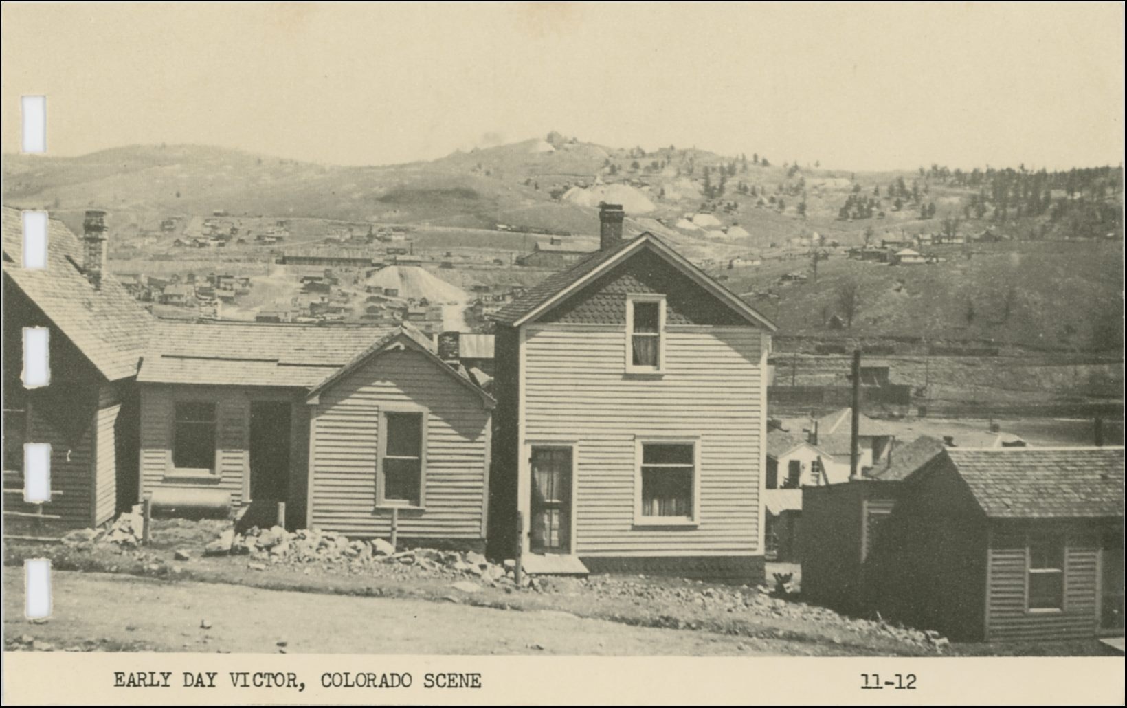

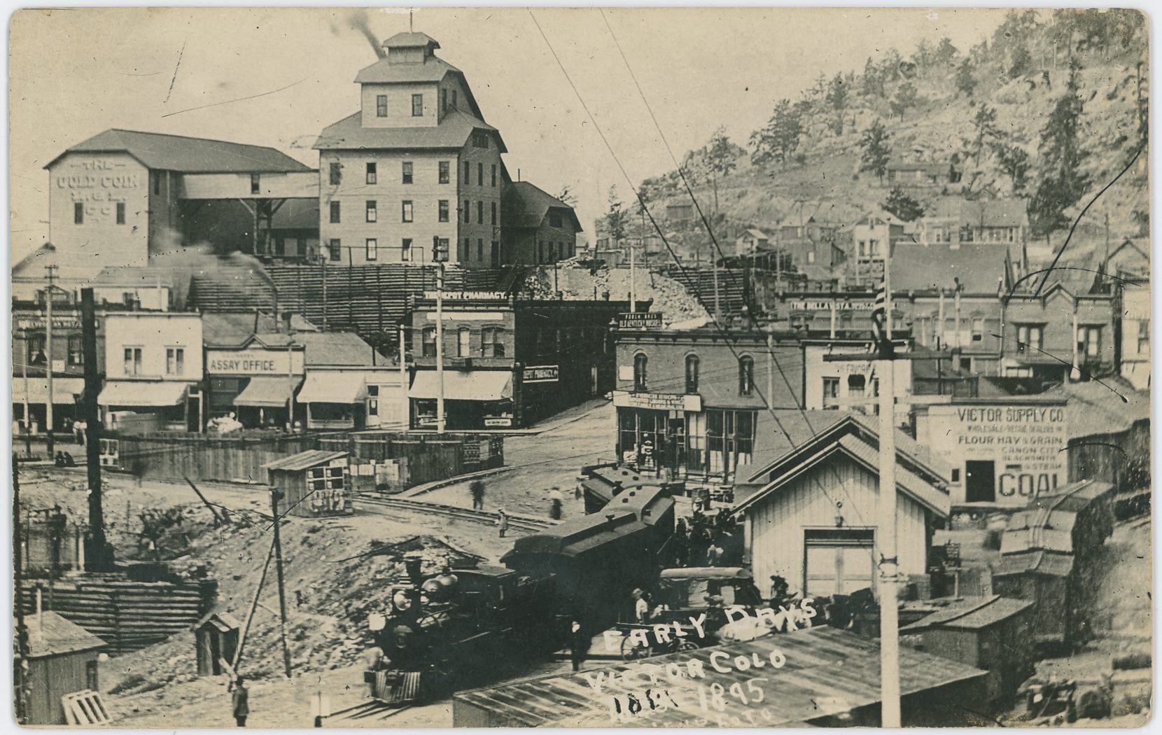
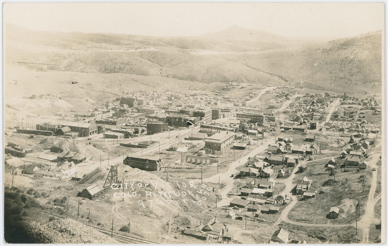
![click to enlarge Yet another interesting view from Battle Mountain towards the Gold Coin mine in Victor, as it is getting rebuilt after the 1899 fire that destroyed the old mine and lot of the town itself. Just too bad that all edition of this view that I've seen is from printed sources, from the bad quality printed postcard this view is from, to an even worse in a Souvenir folding book published to promote the Midland Terminal.
While it is really hard to tell, it appears possible that in this view not even the Ore-house has been rebuilt yet, but it is too darn hard to tell for sure. I see the smokestack, the head frame can be picked out as exposed, and it looks like there is a wooden frame around the area where brick walls are known to have been. It may also be in the time frame around 1920/1921 when they tore down the Gold Coin, I really can't tell from this single image!
In the foreground, right, is the distinctive Ore-house of the Mary Cashen seen, and outside the view to the right would the head frame for that mine be.
Victor Public Sampler is the long structure just left of the Mary Cashen, with its cupola on the roof and with part of it outside the view at right.
The mine seen with its small head frame and hoist house at lower left is for the moment a mystery to me at the time of this writing [19.02.2017].](/04library/postcards/p-00066_n562_birdseye_view_of_victor_frmd.jpg)
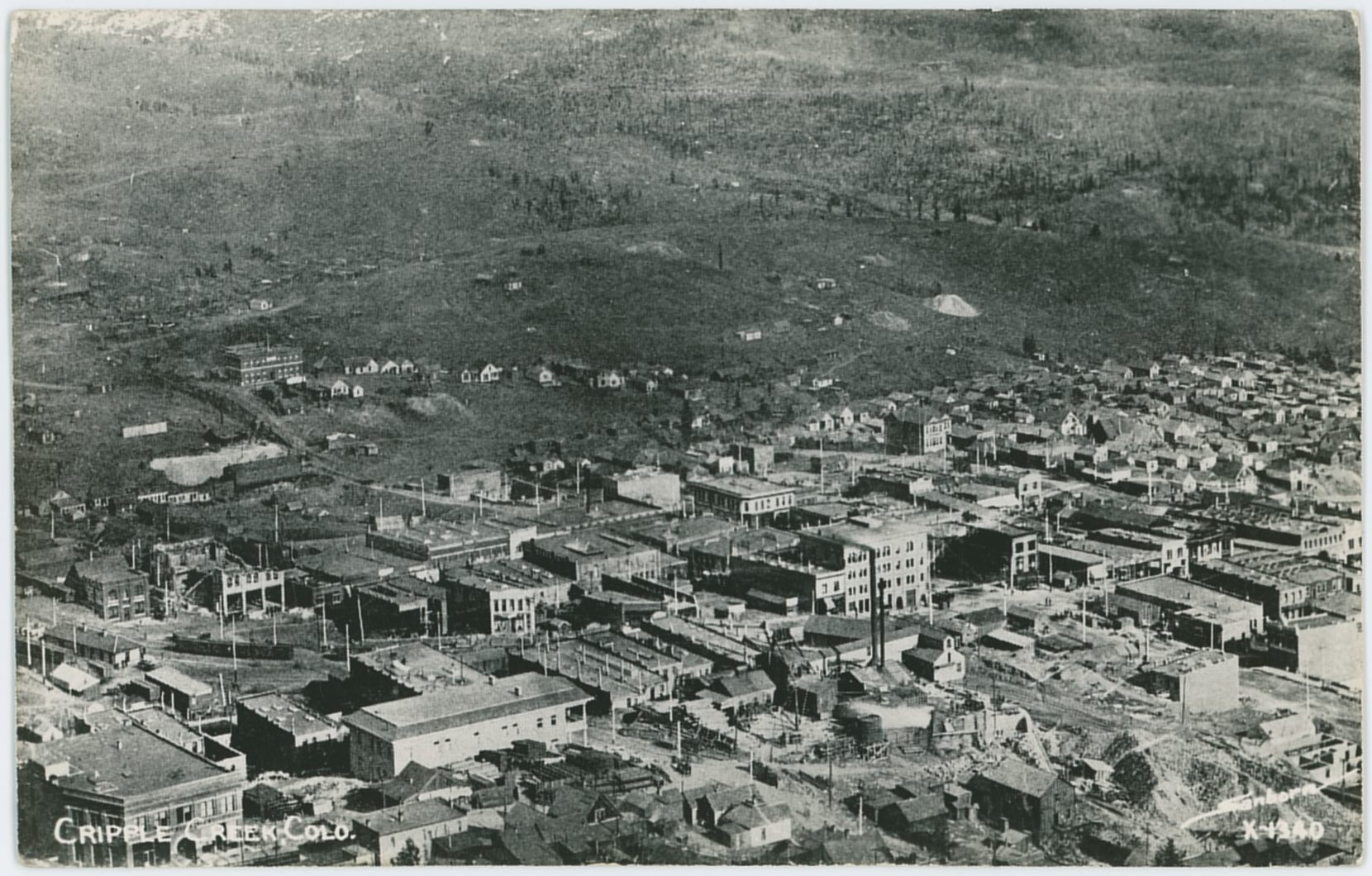
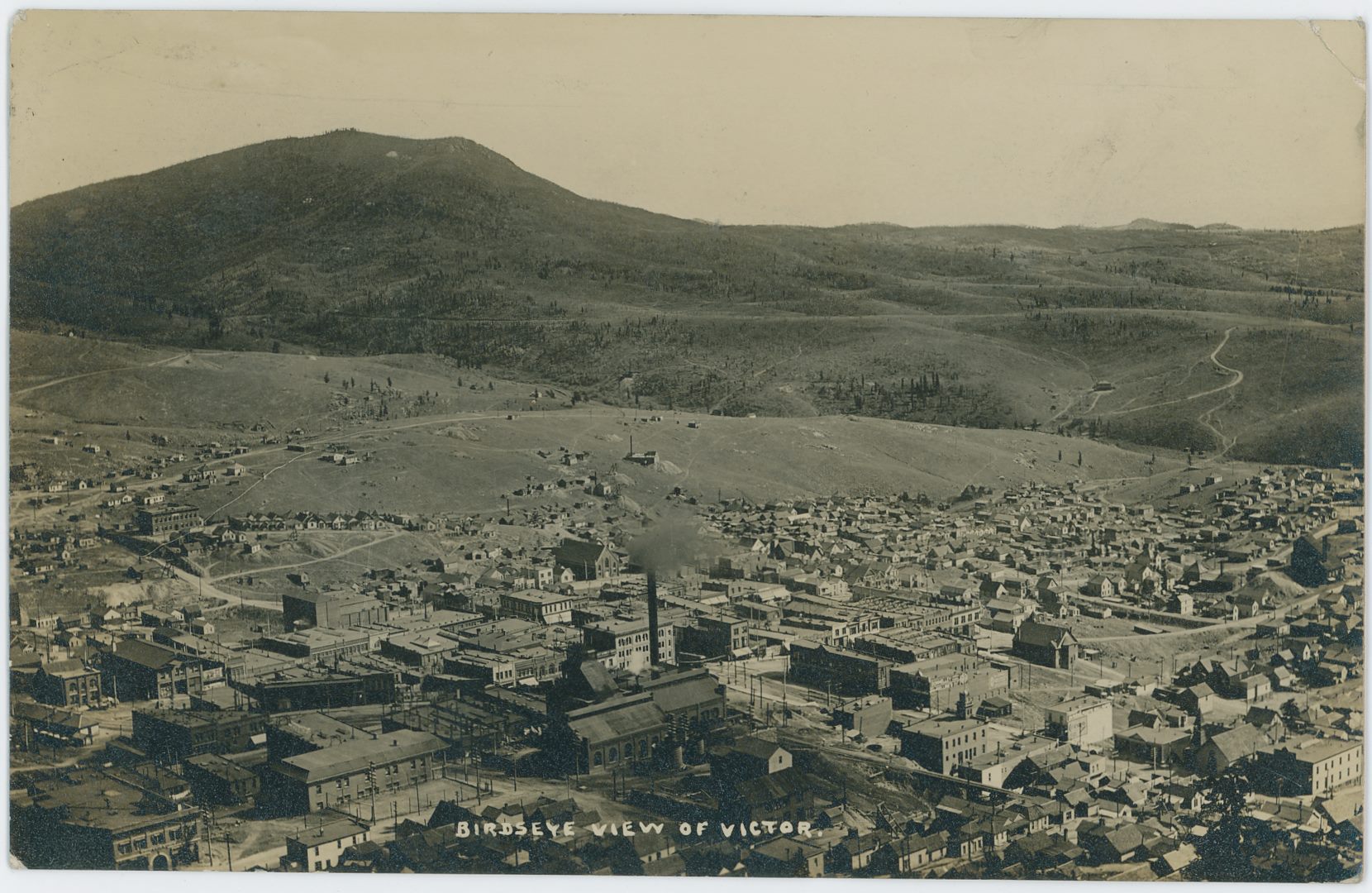

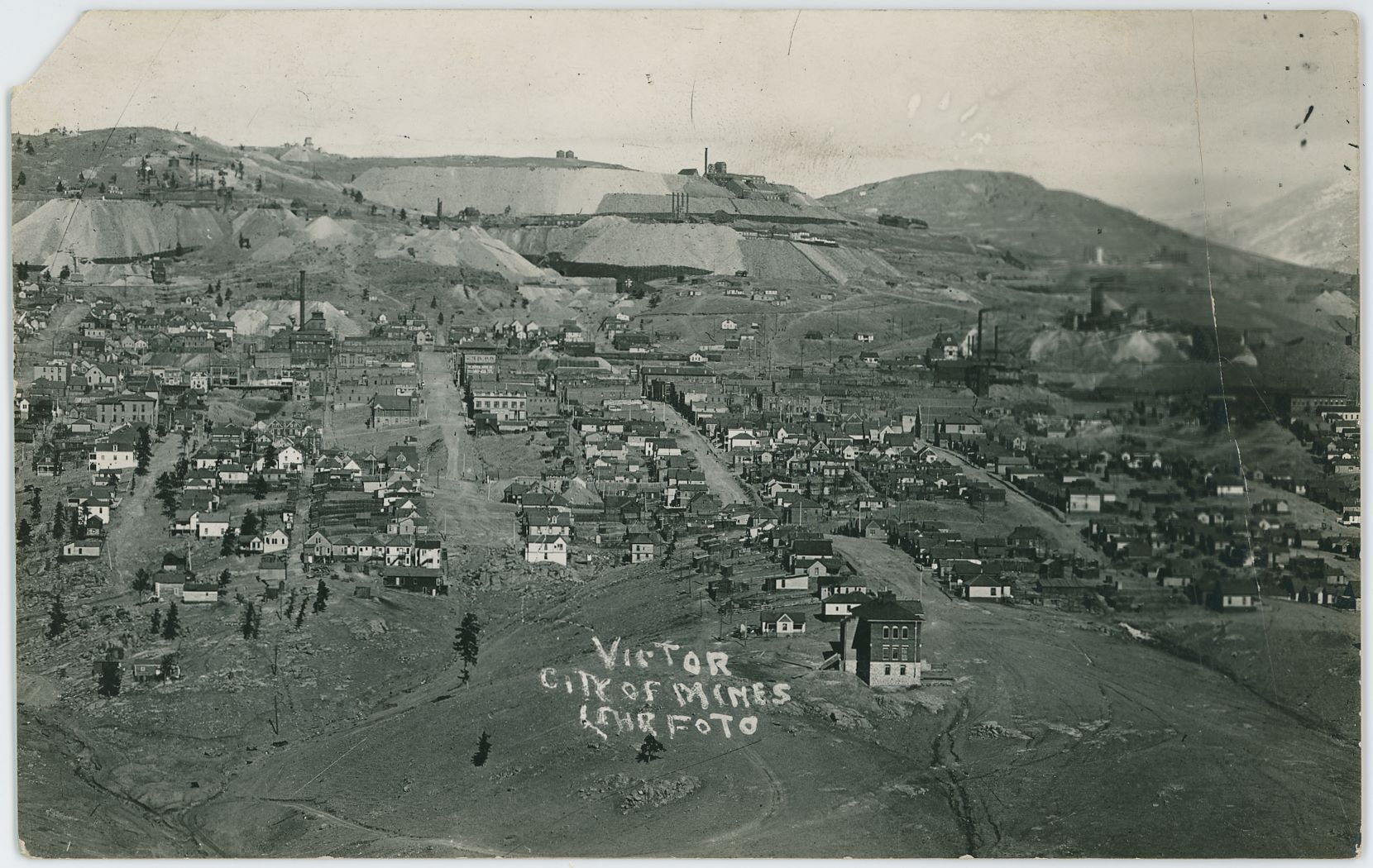
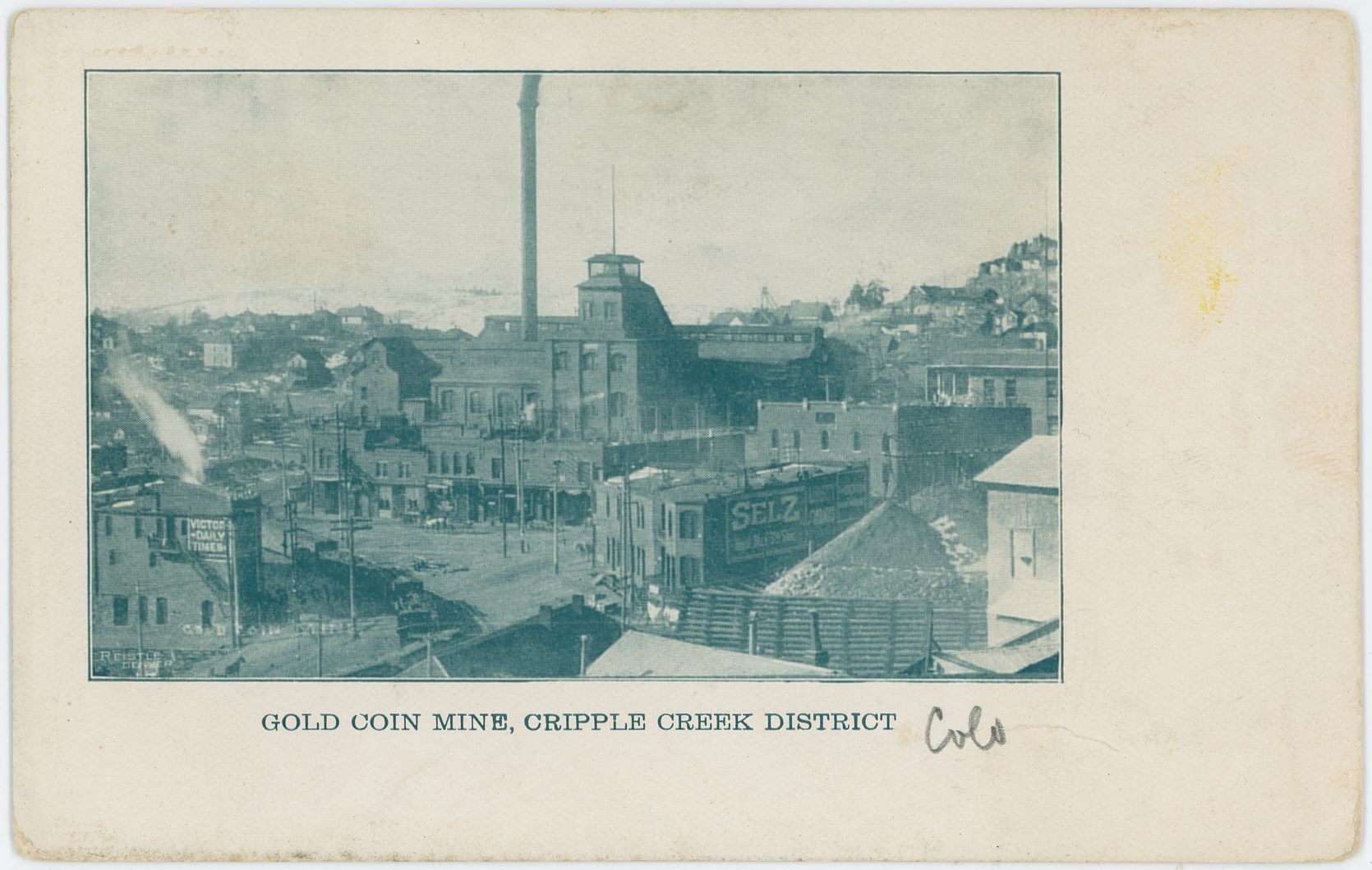
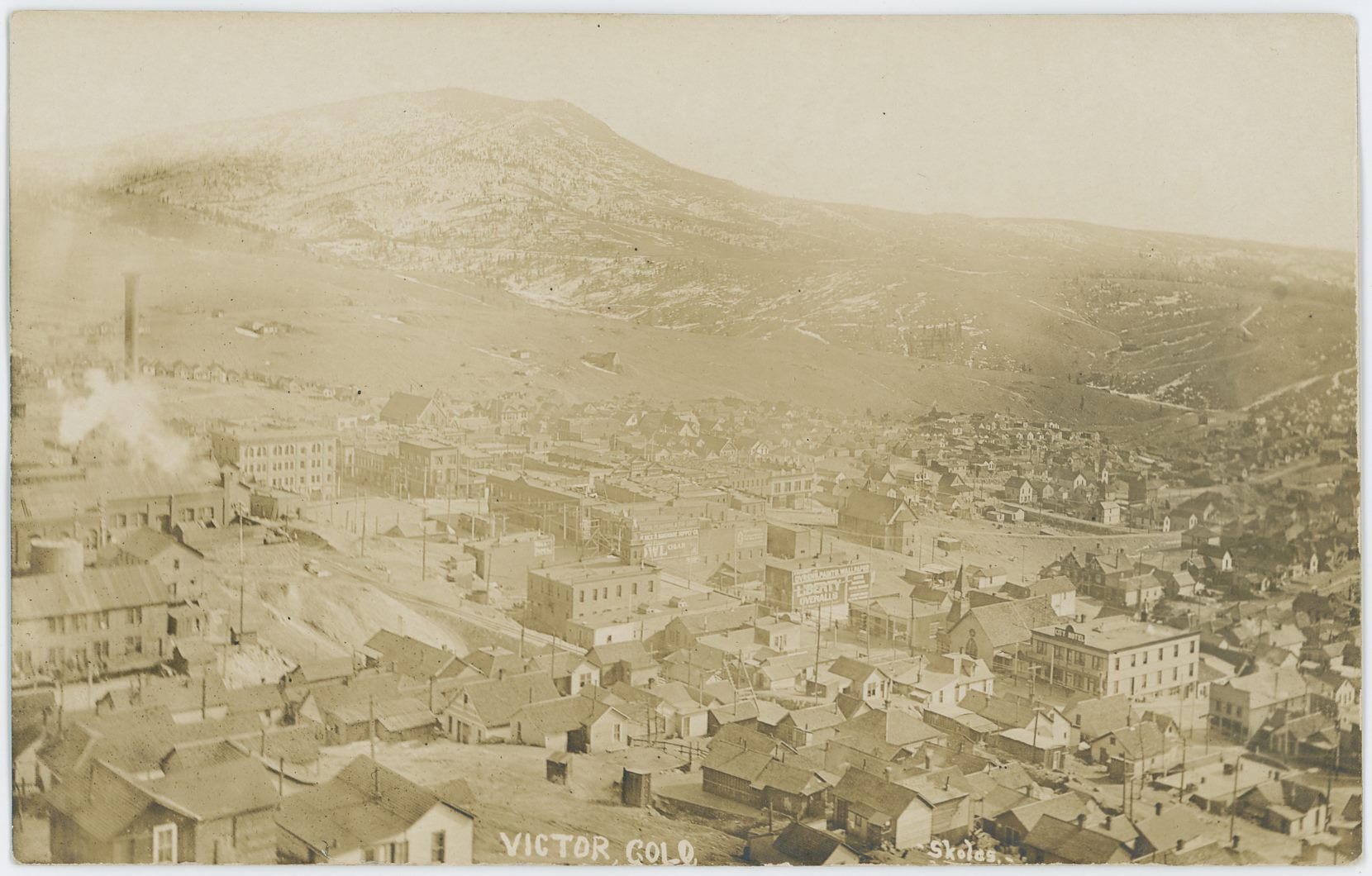
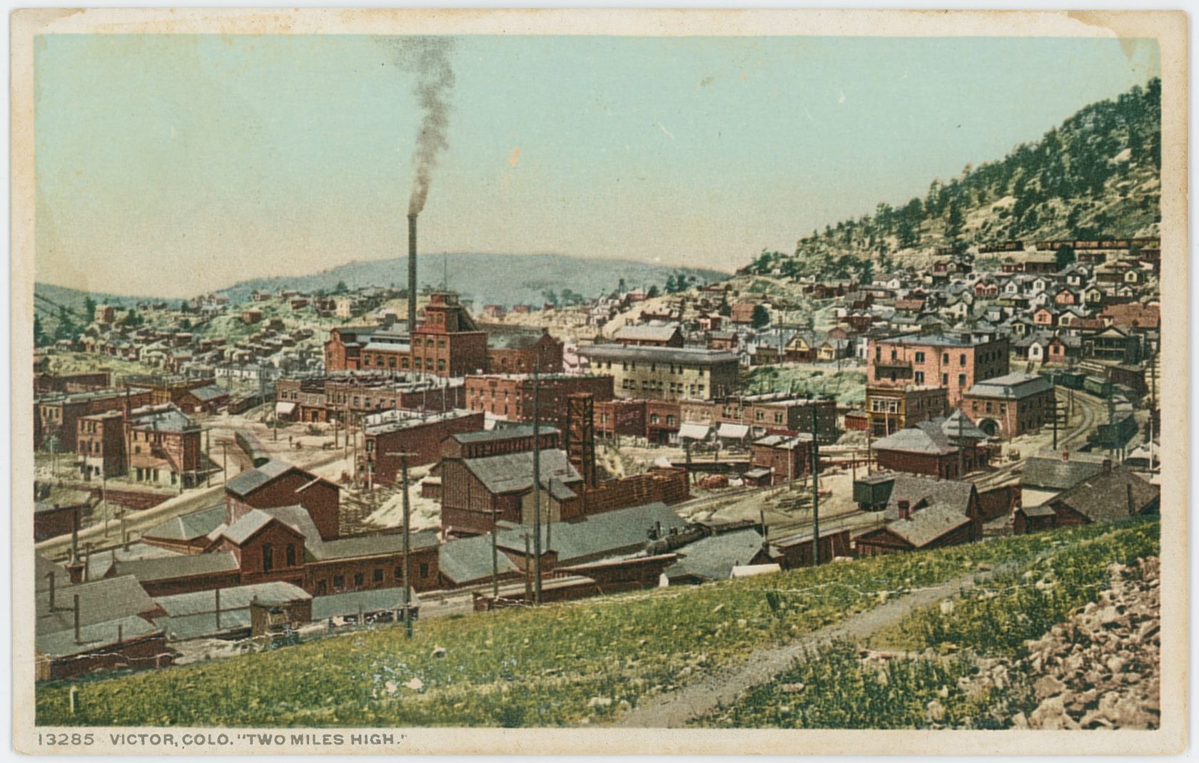
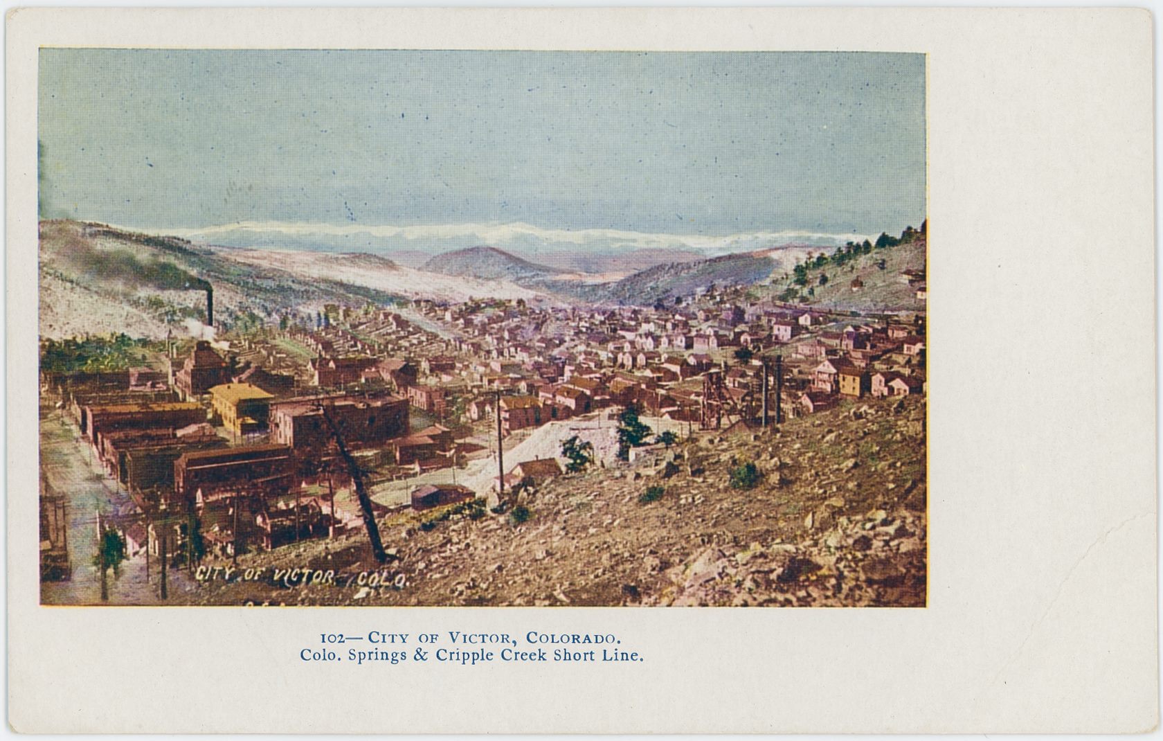
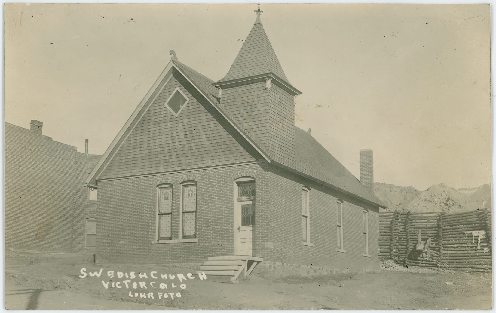

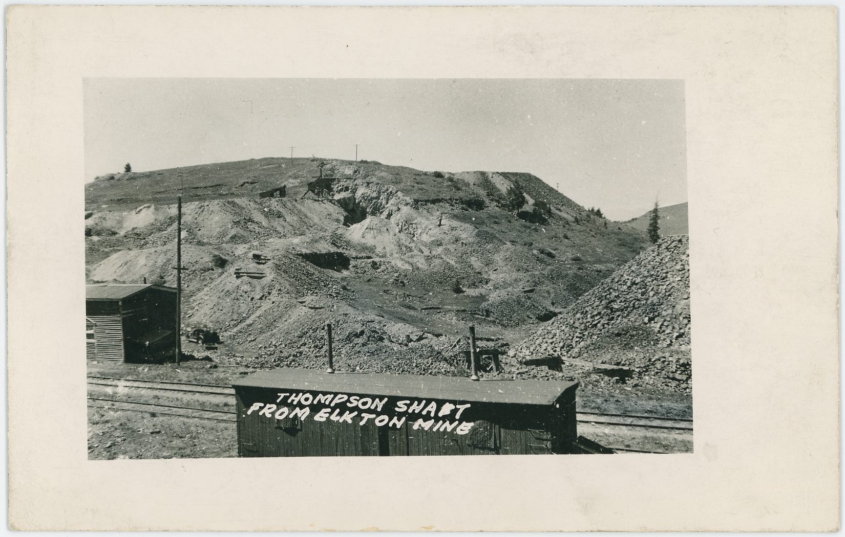
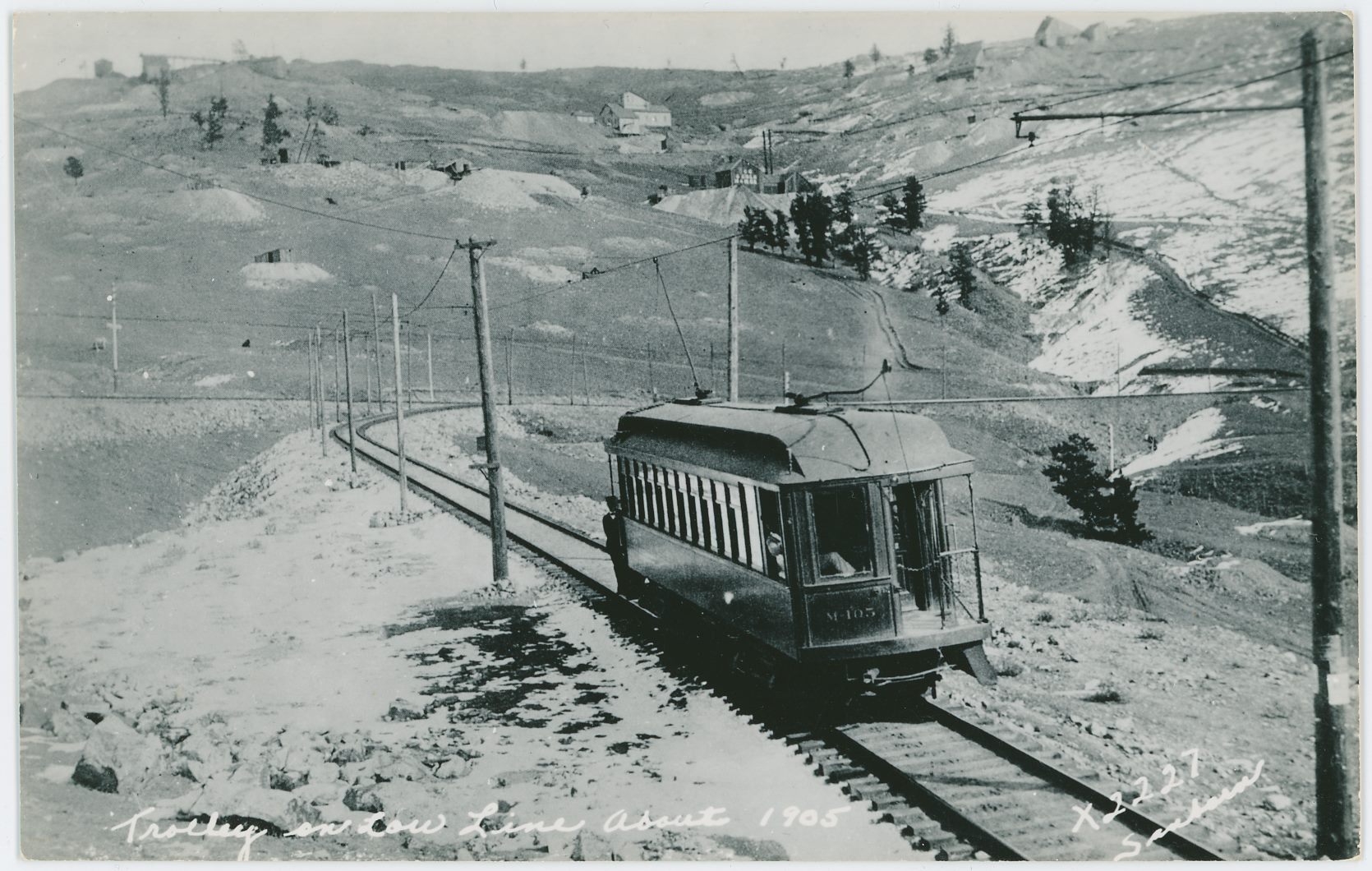
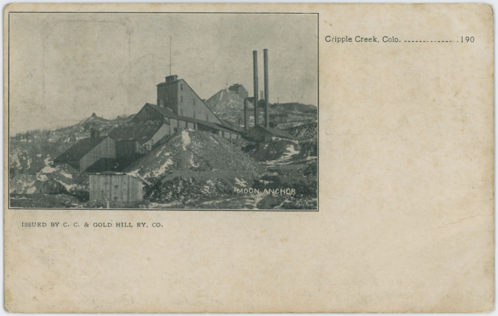
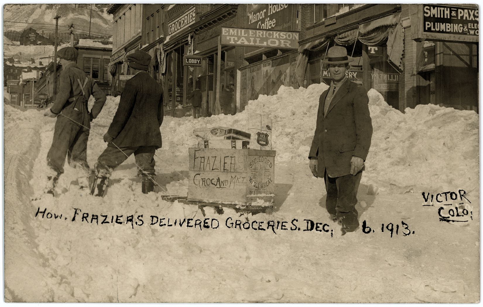
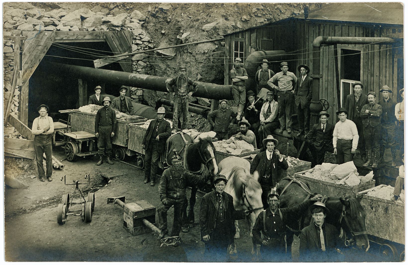
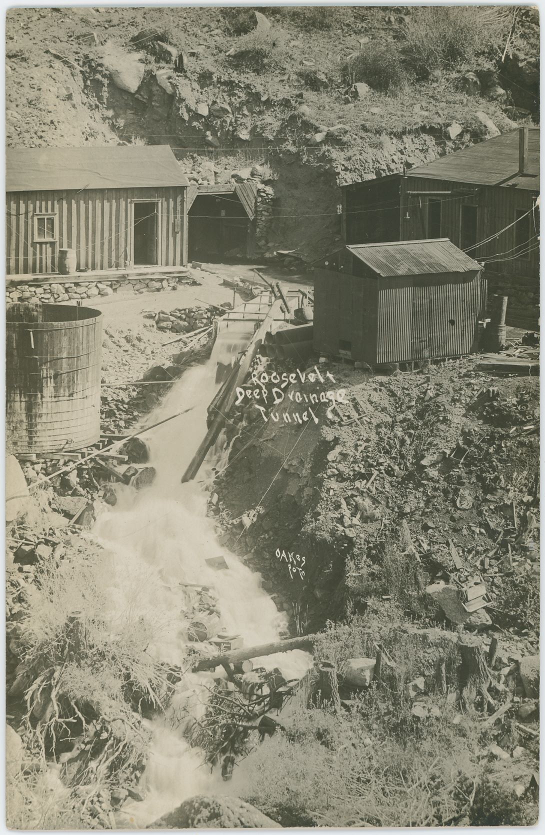
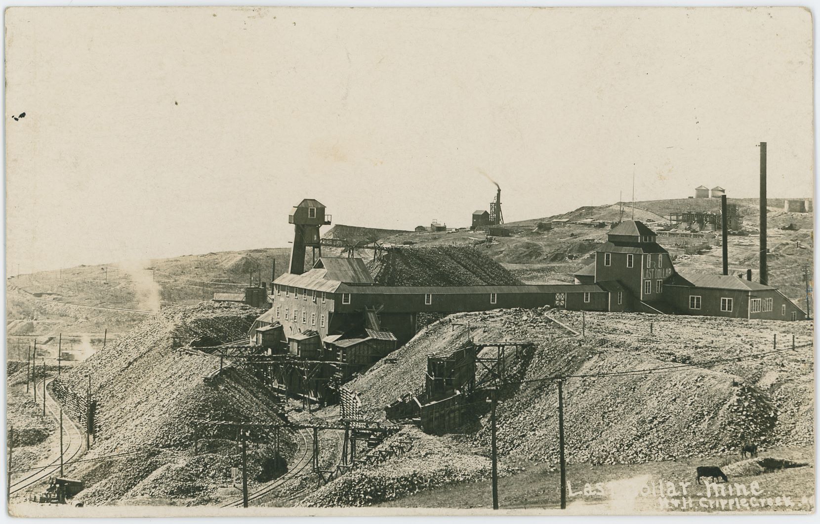
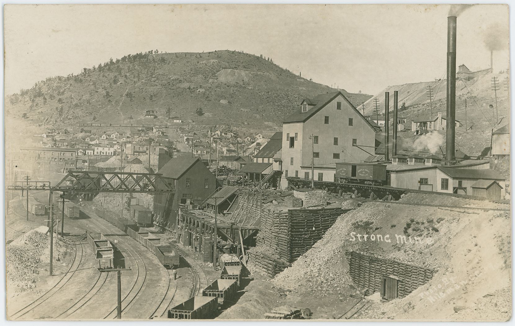
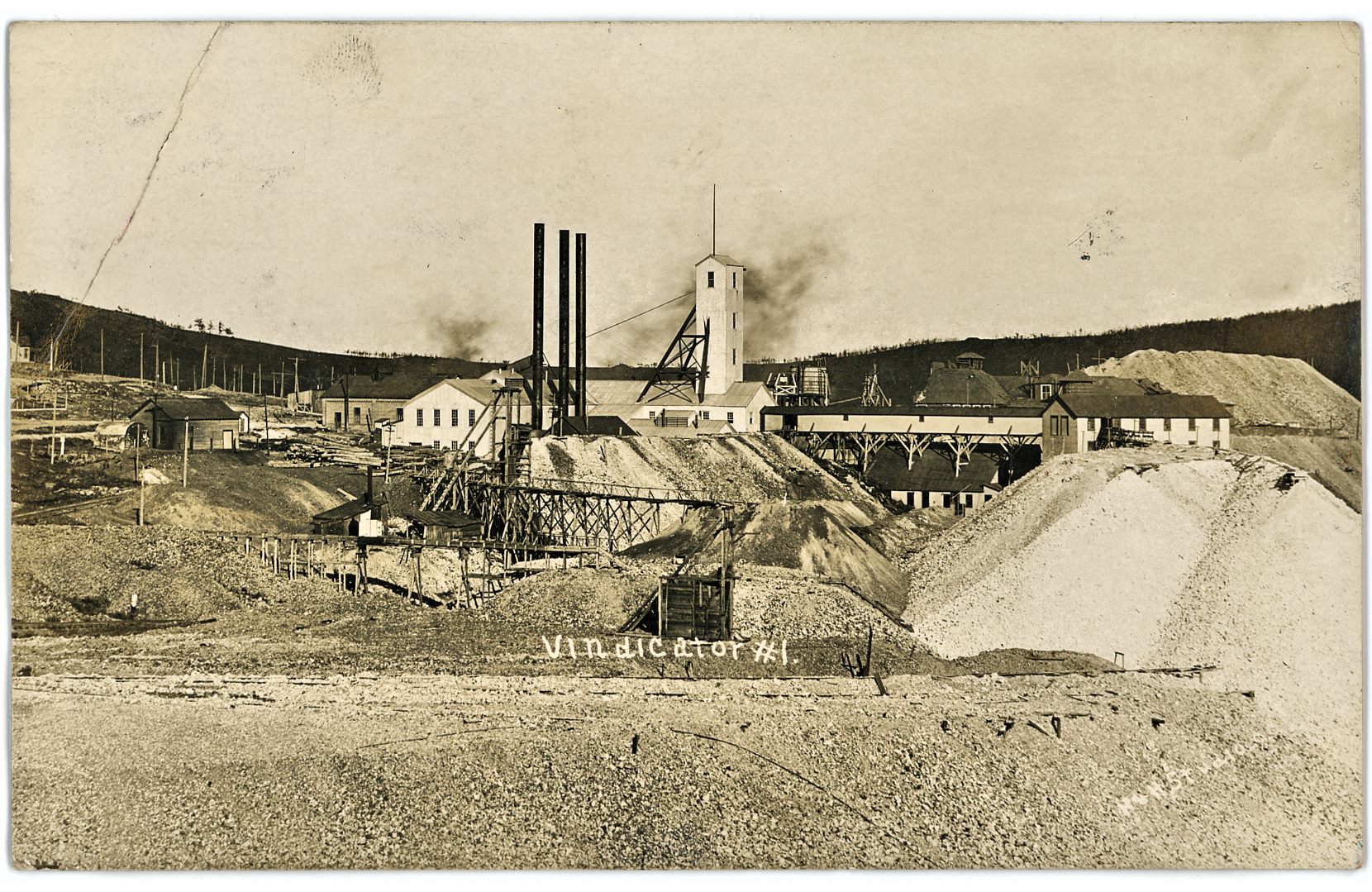

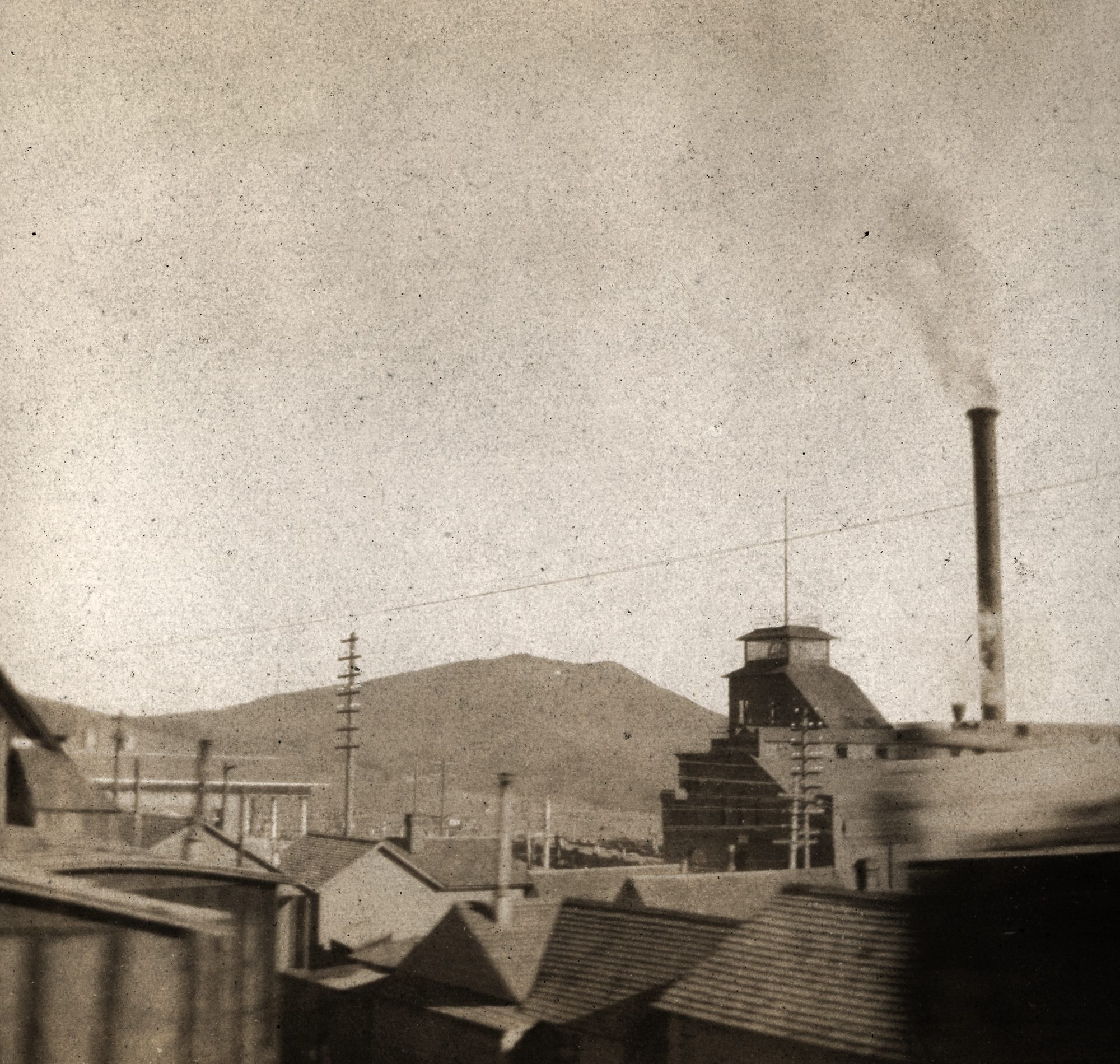
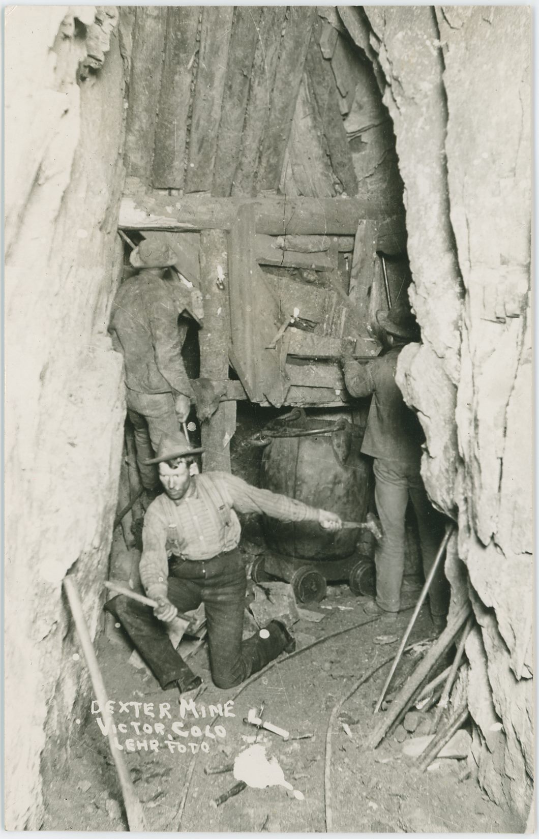
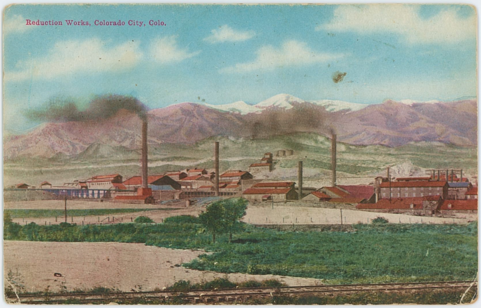
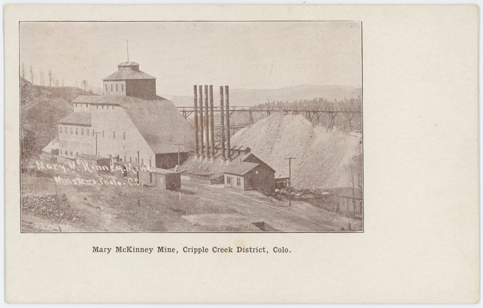
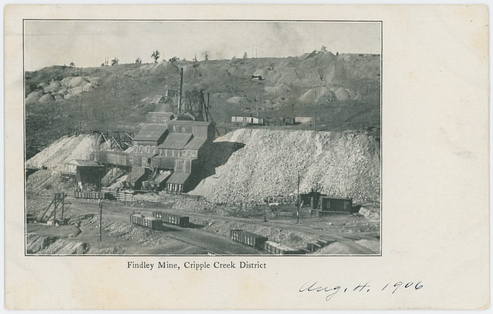
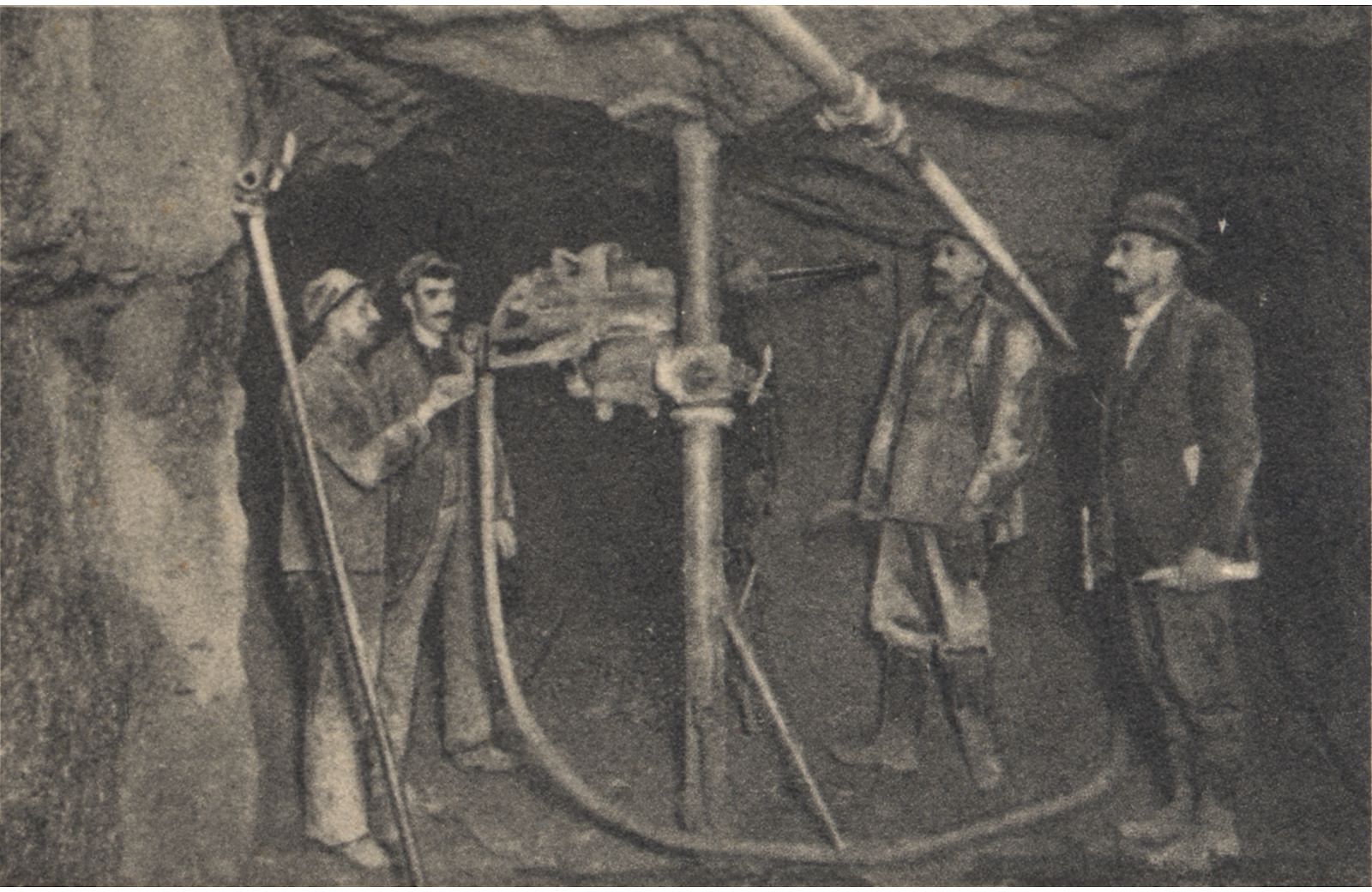
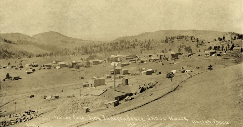
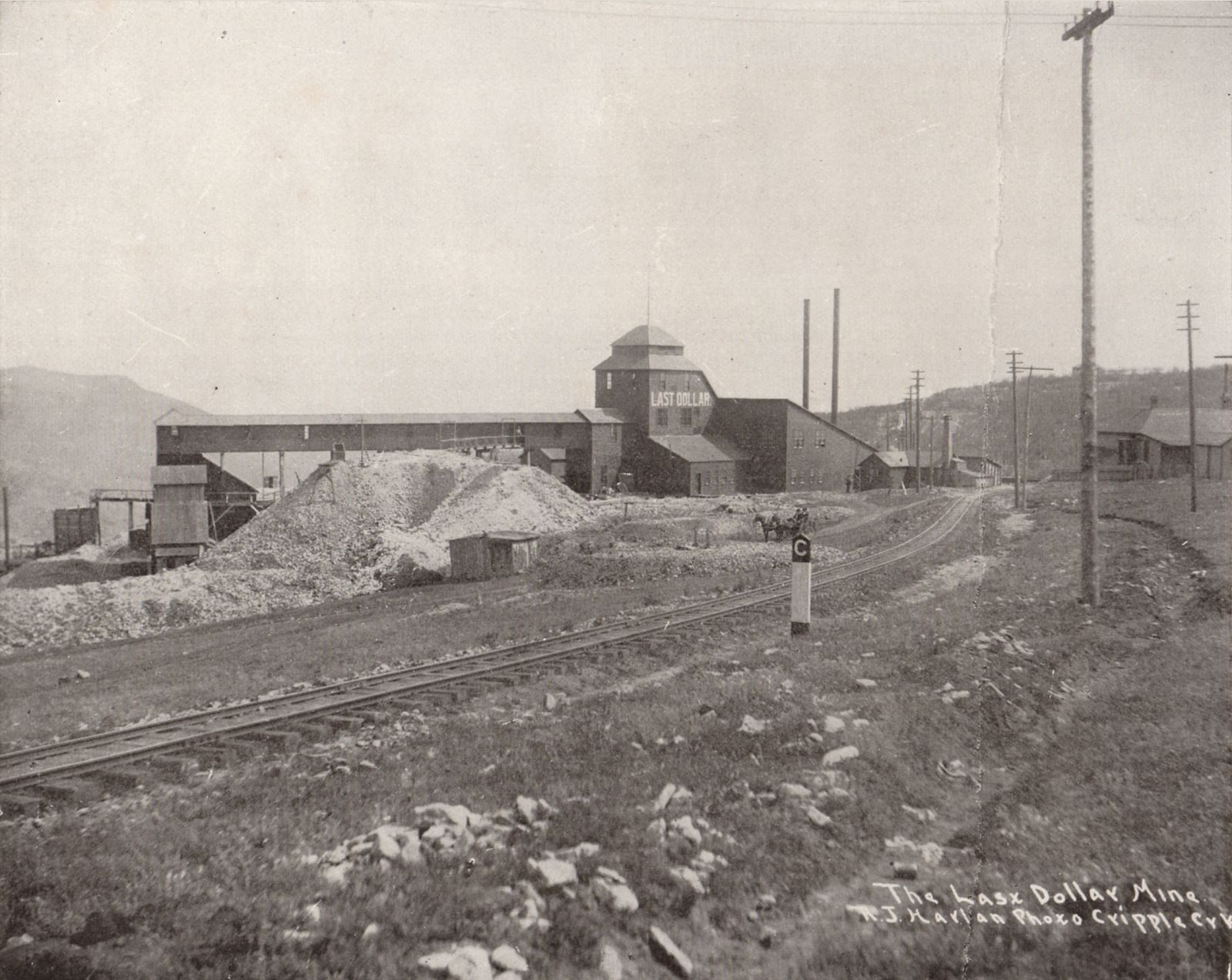
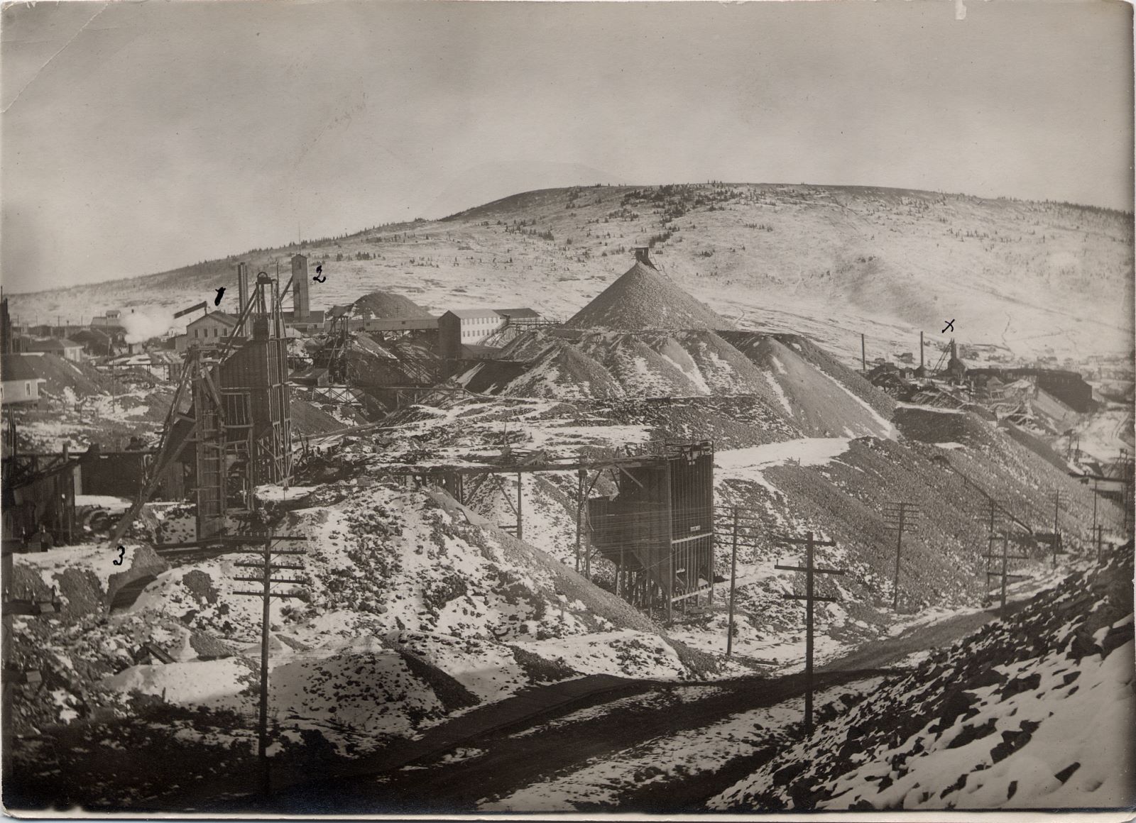

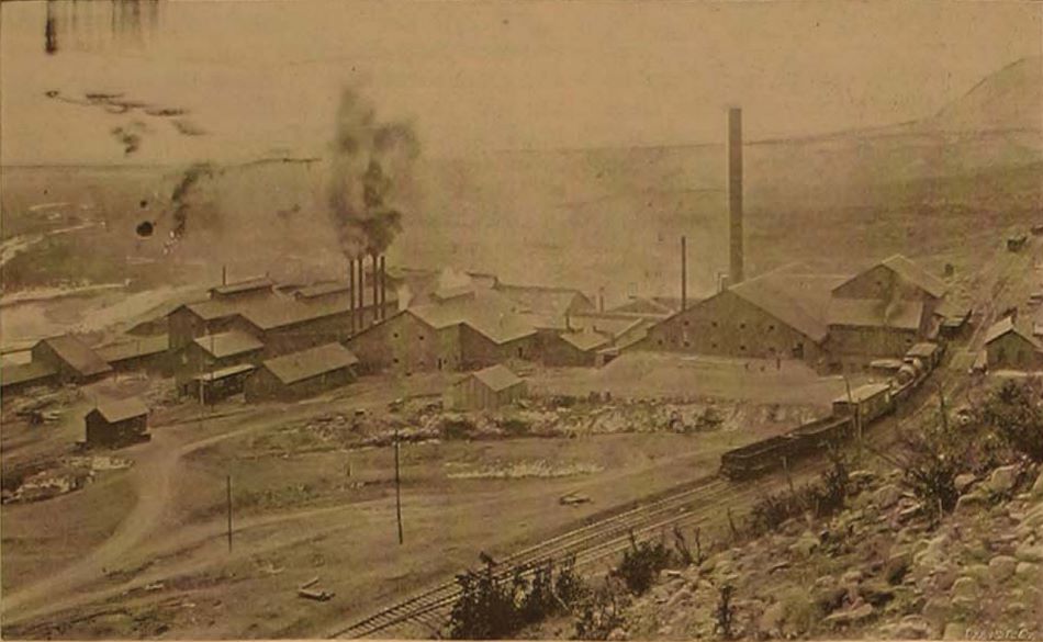
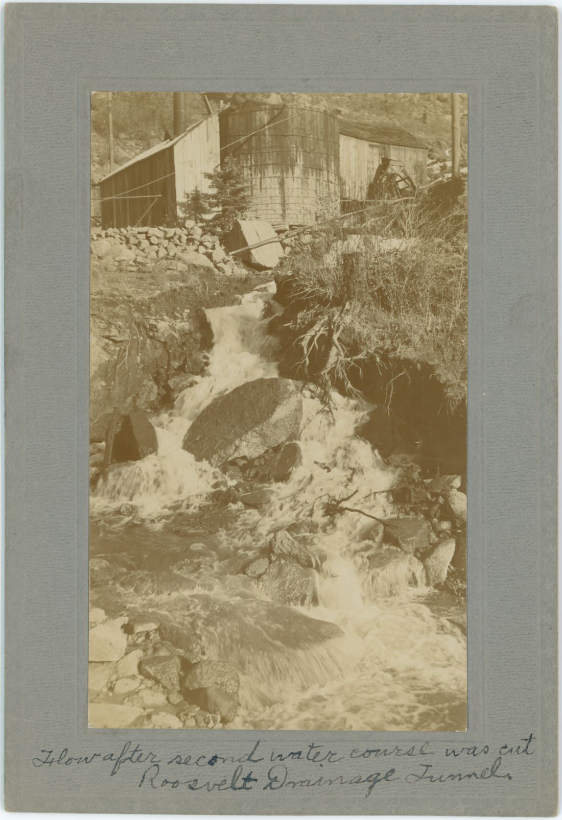
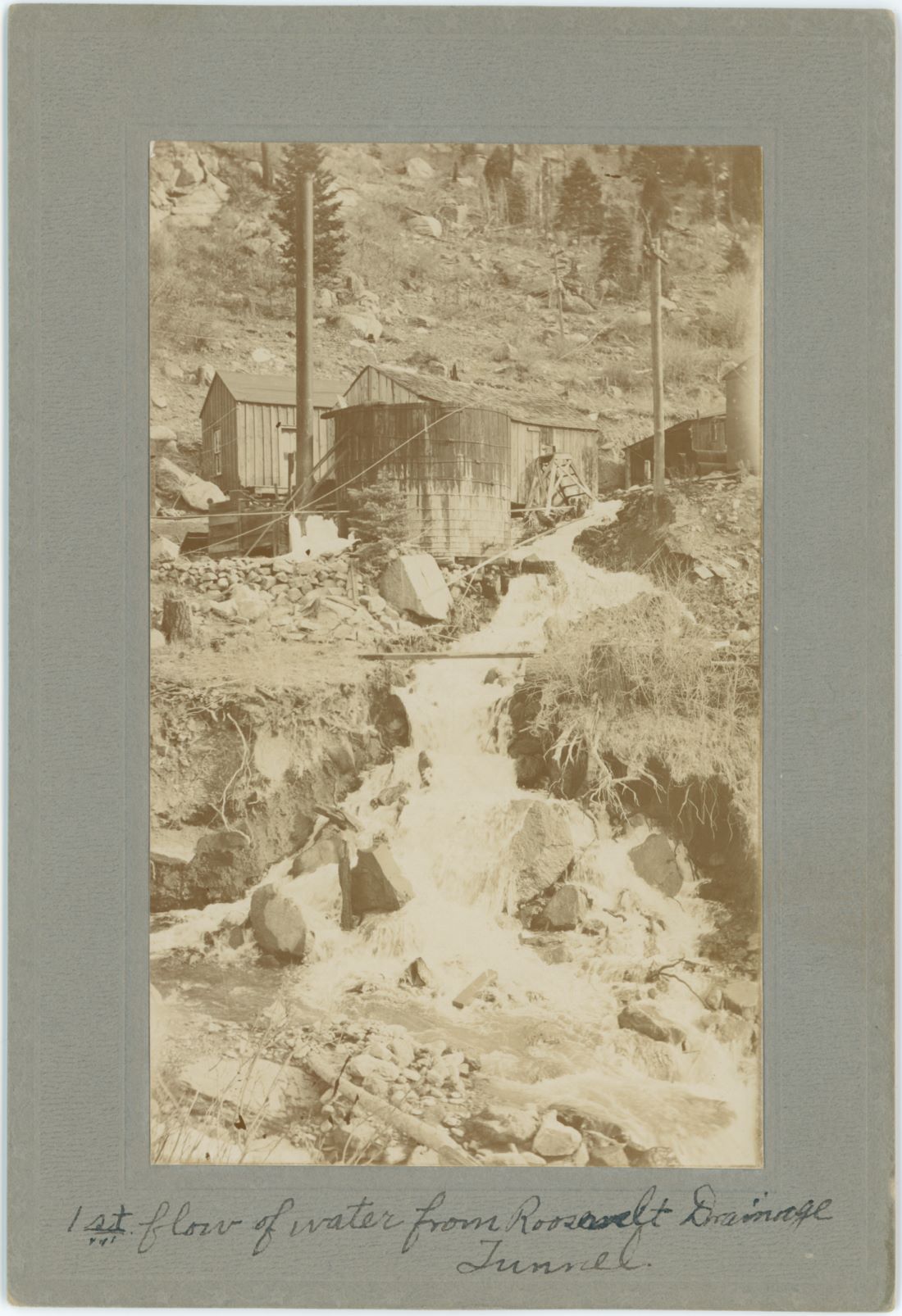
_frmd_scrn.jpg)
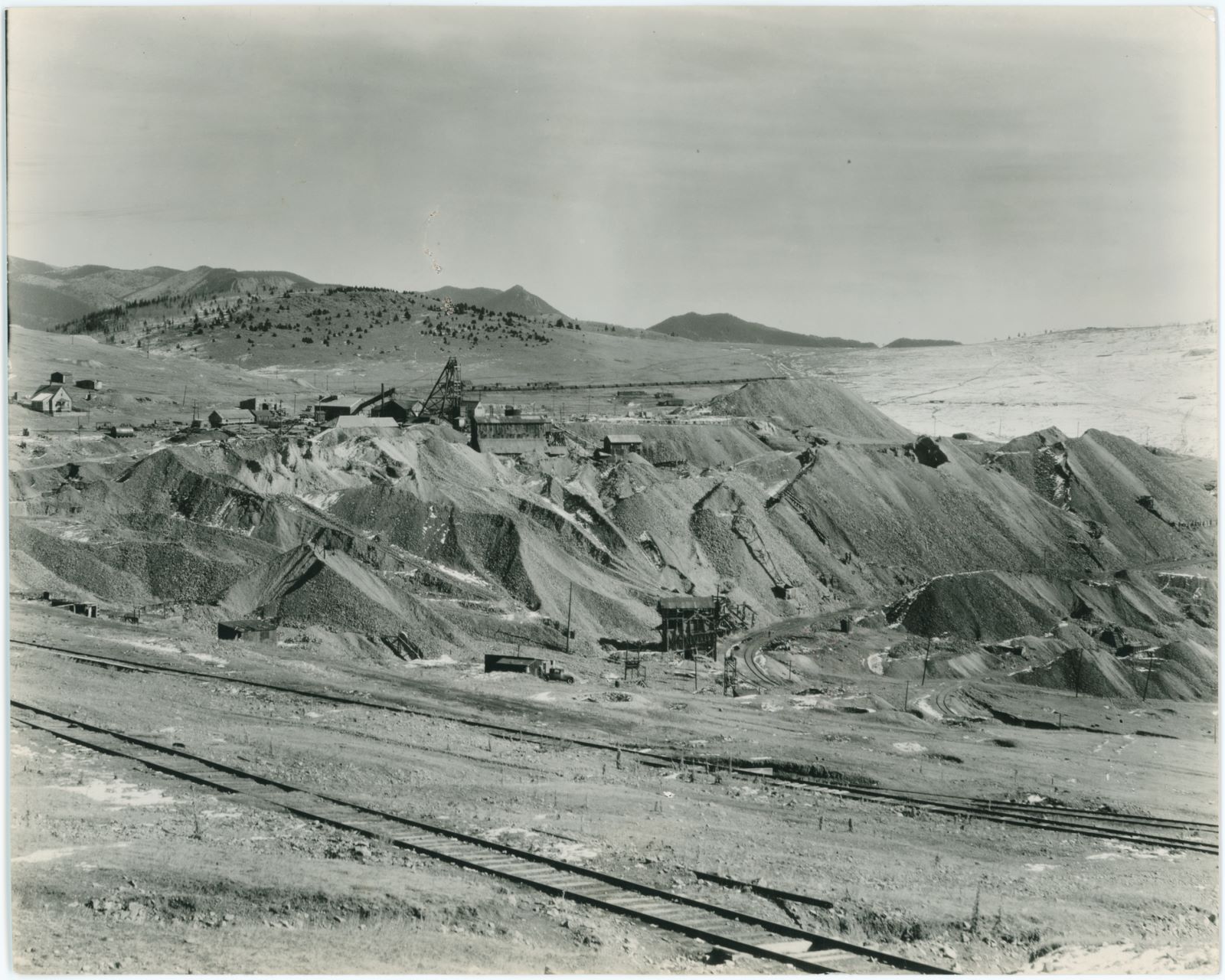
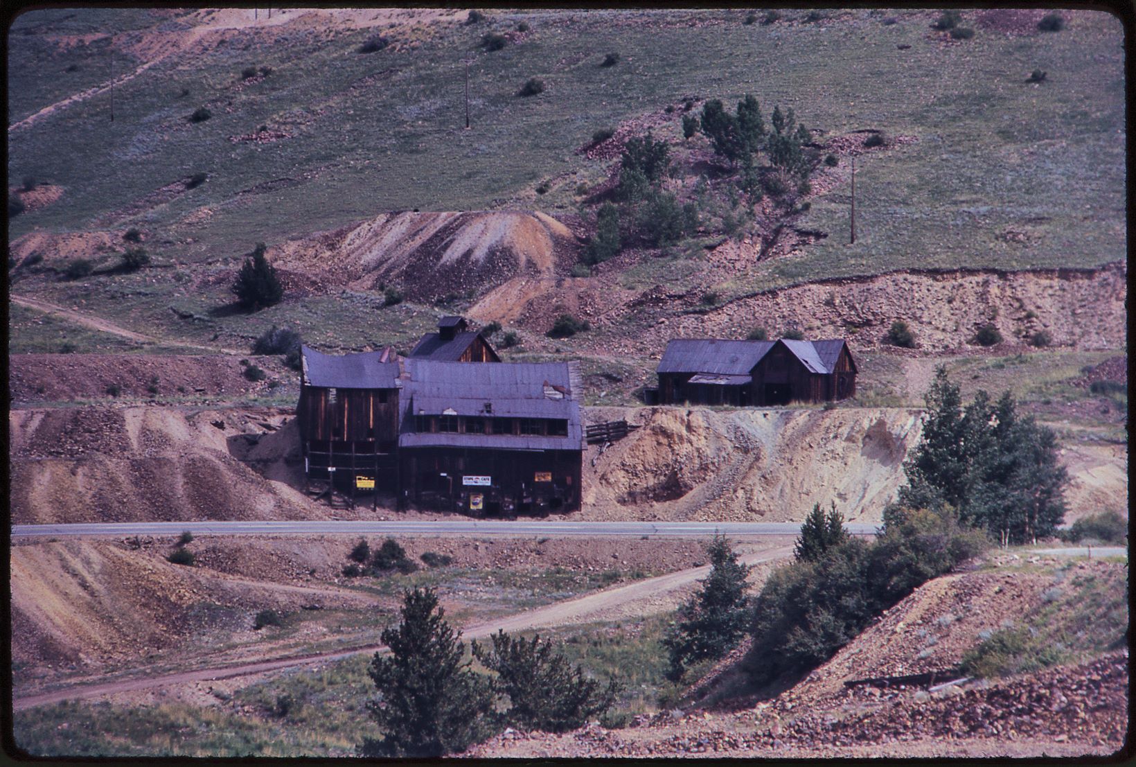


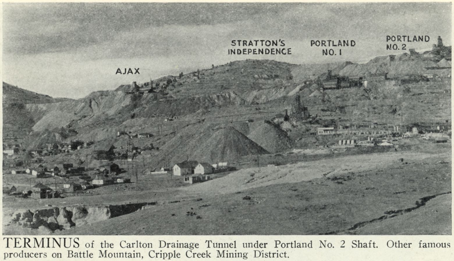
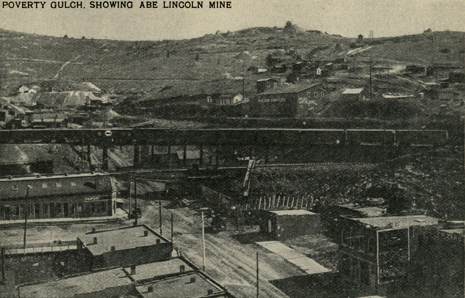
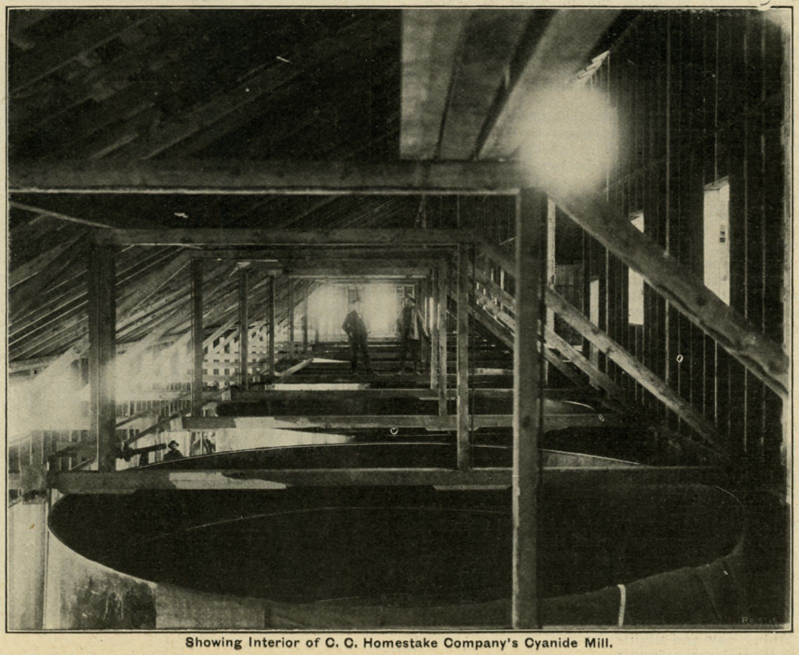
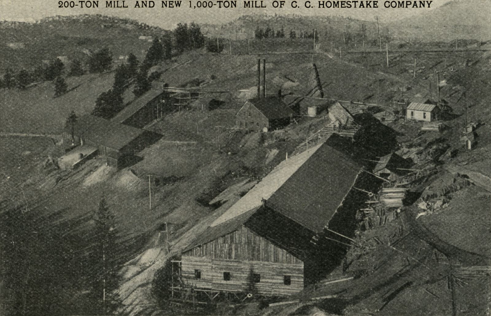
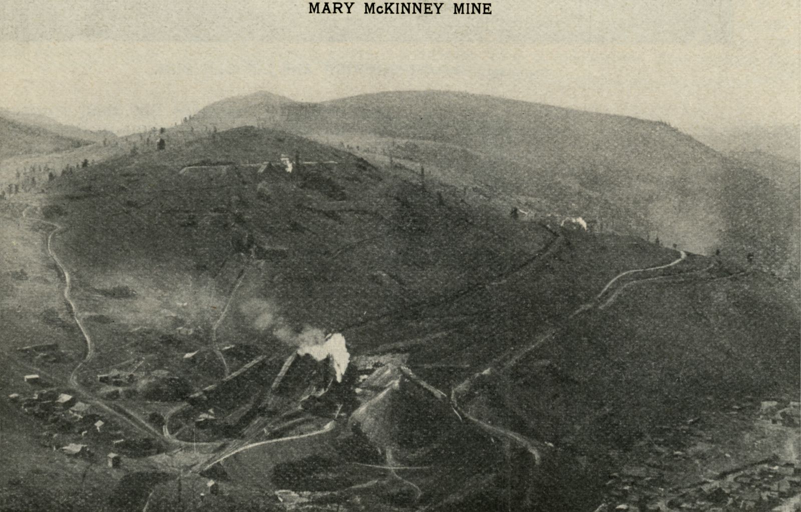
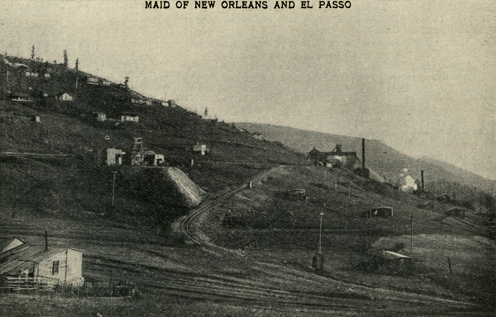
%20no%20cover/p27-crpd_Cripple-Creek-n-Gold-Hill-Ry_6d_scrn.jpg)
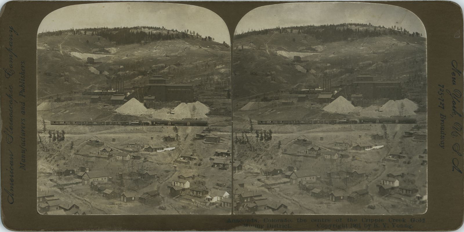
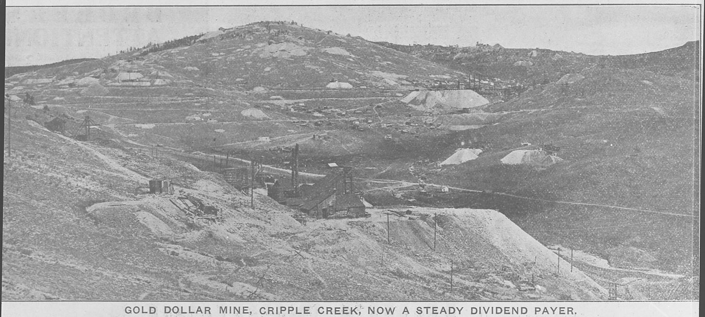

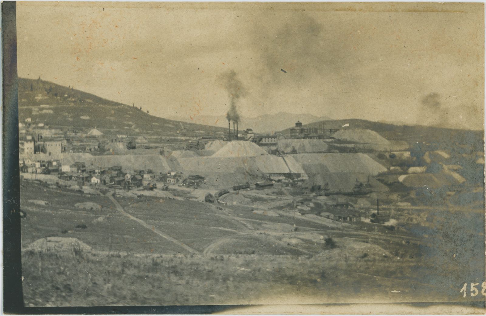
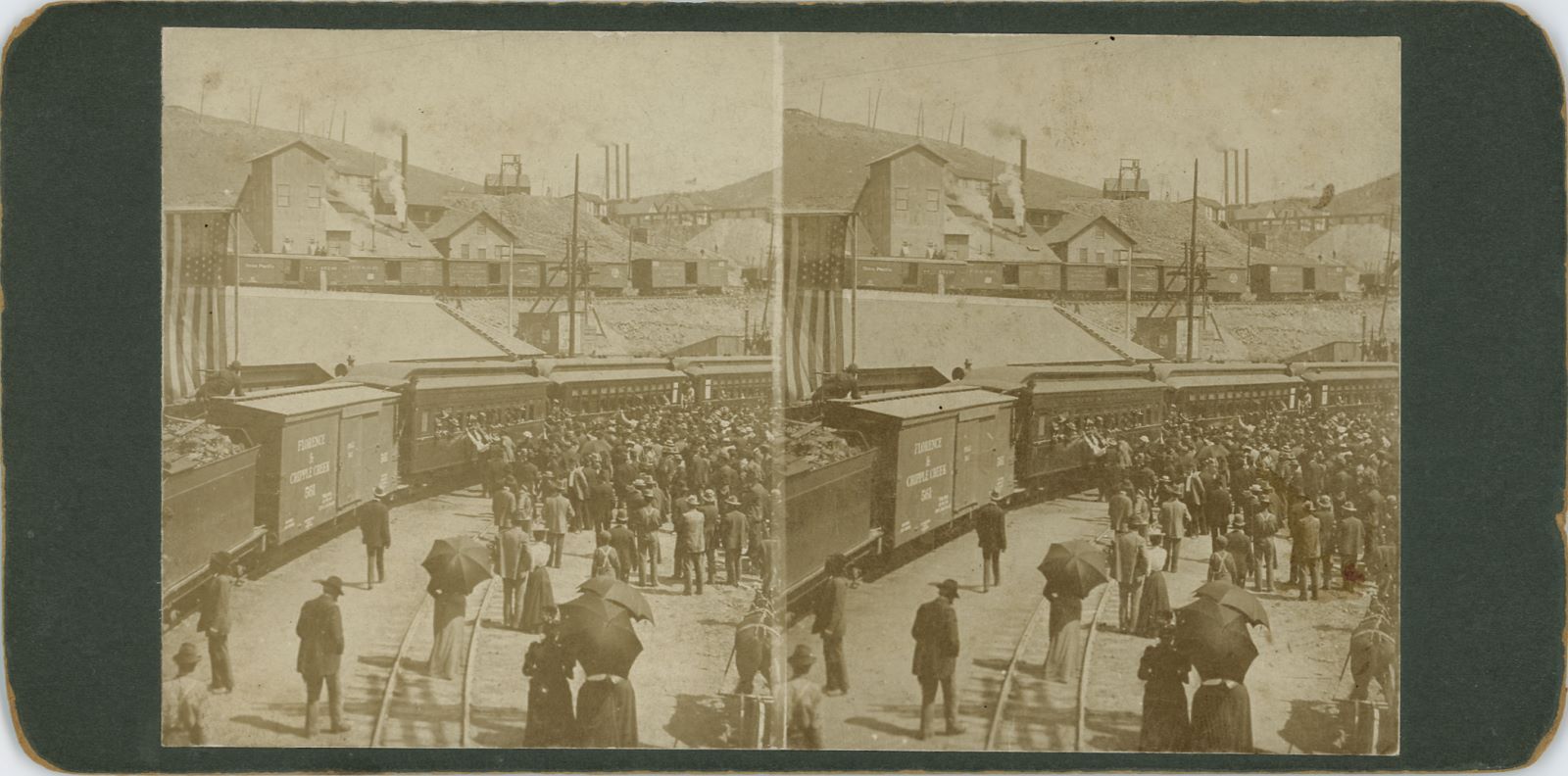


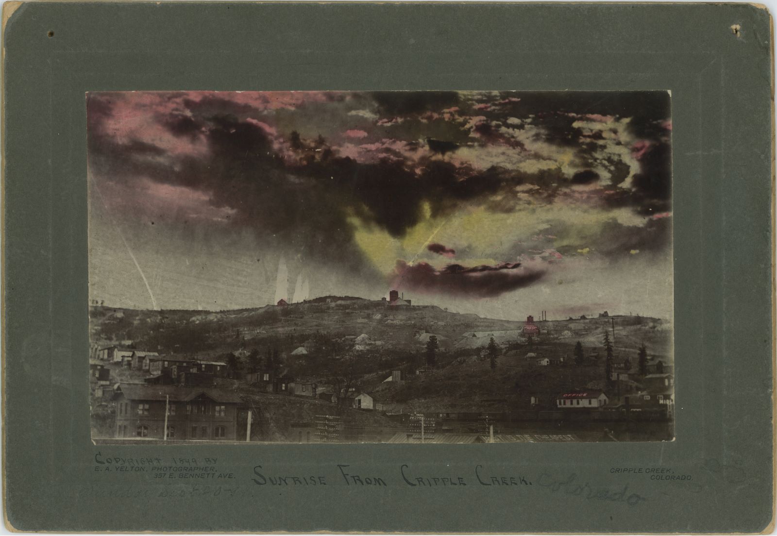
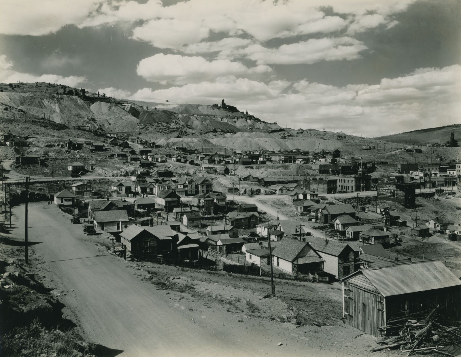
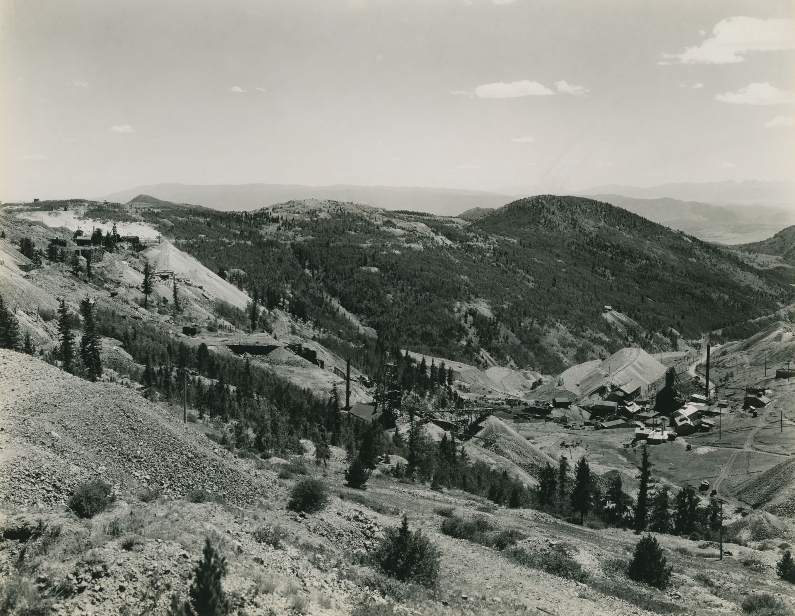
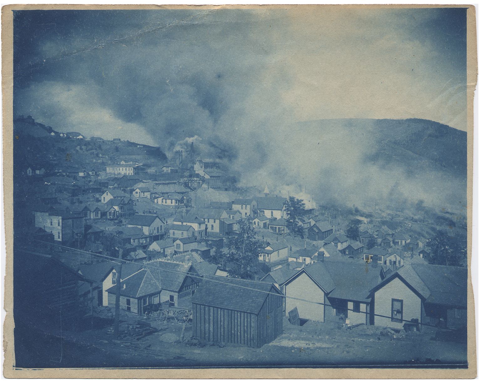


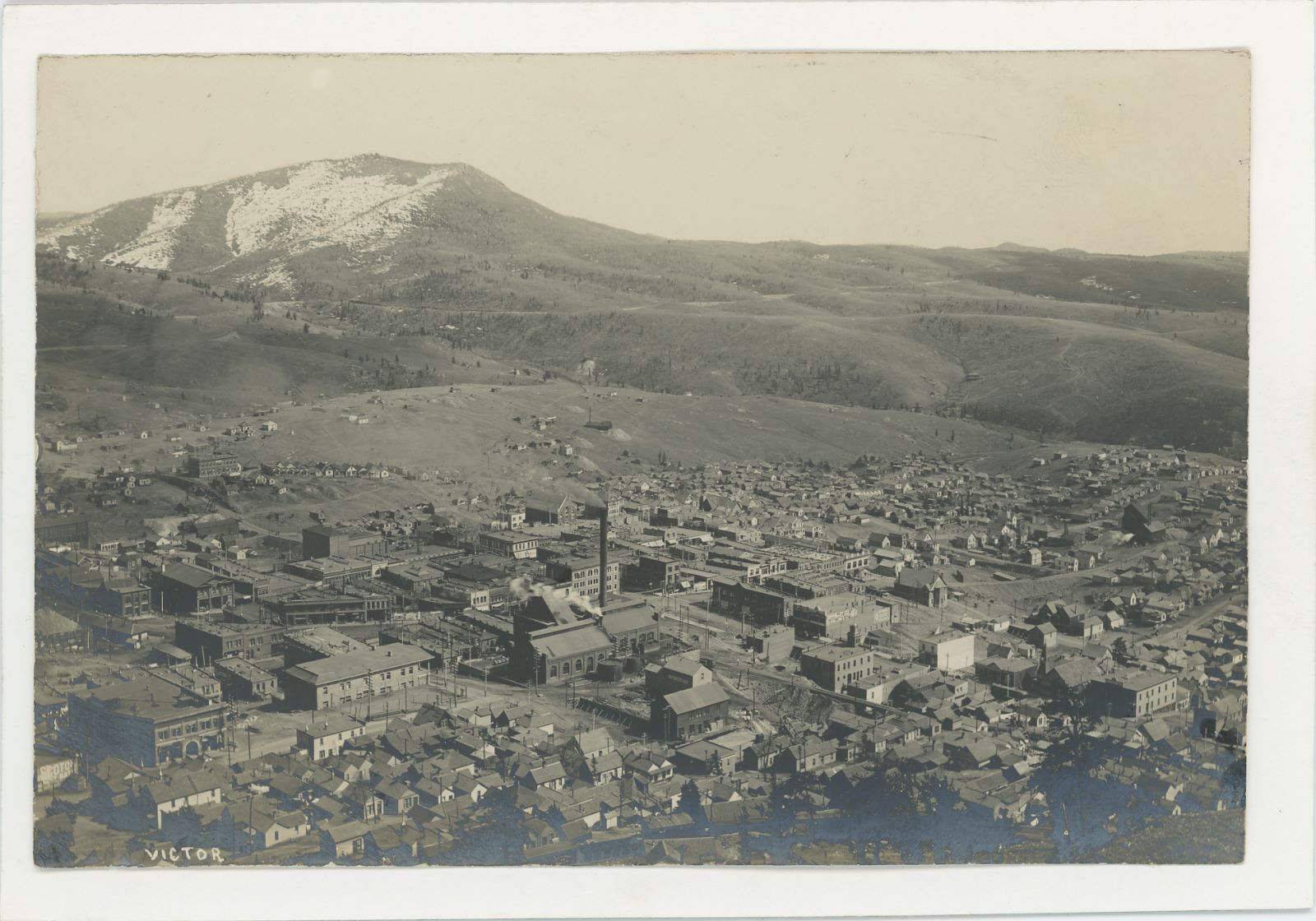
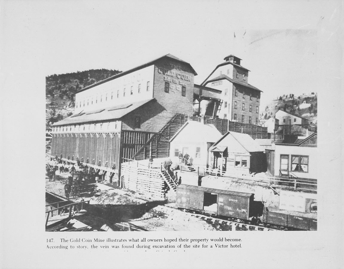
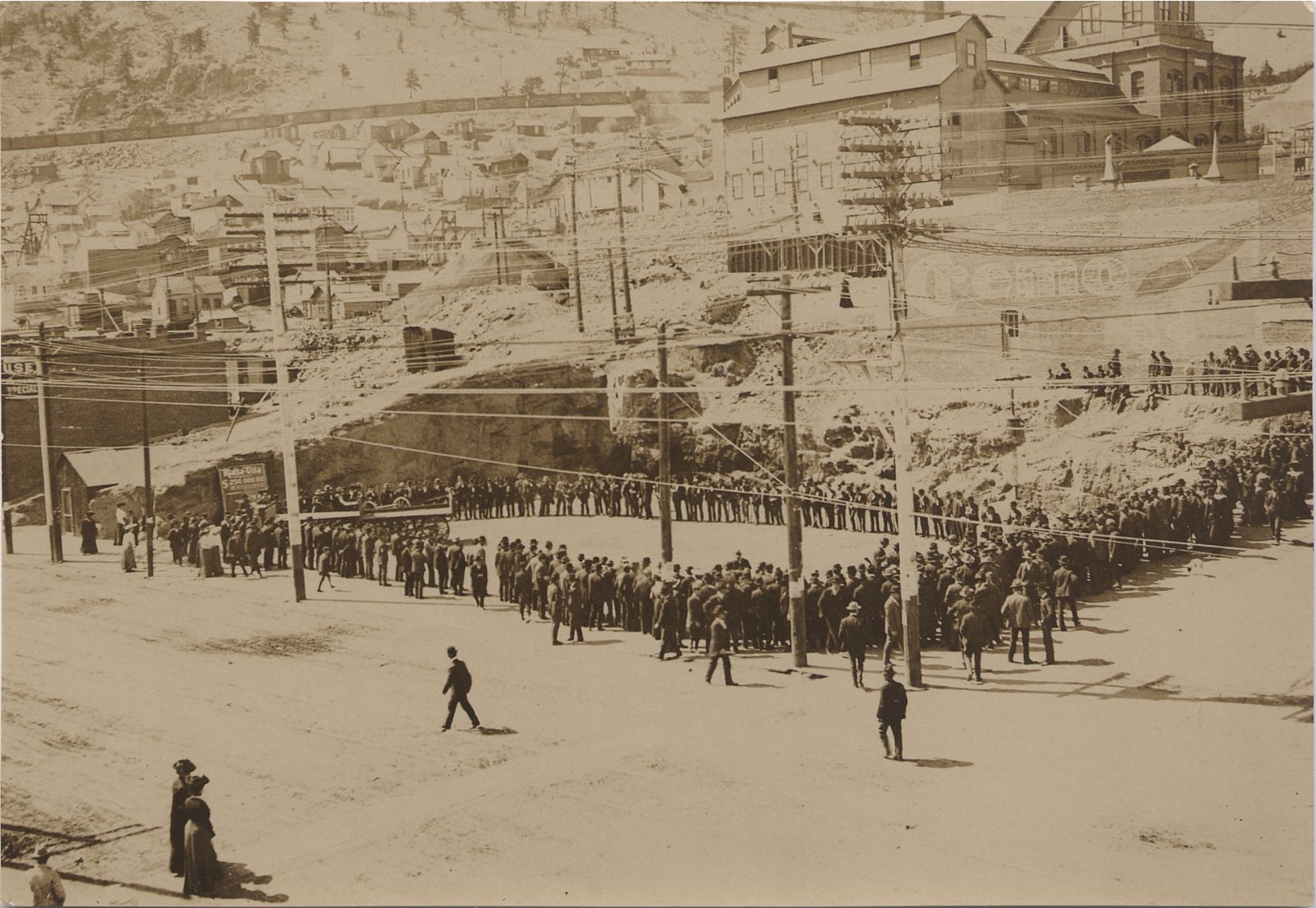
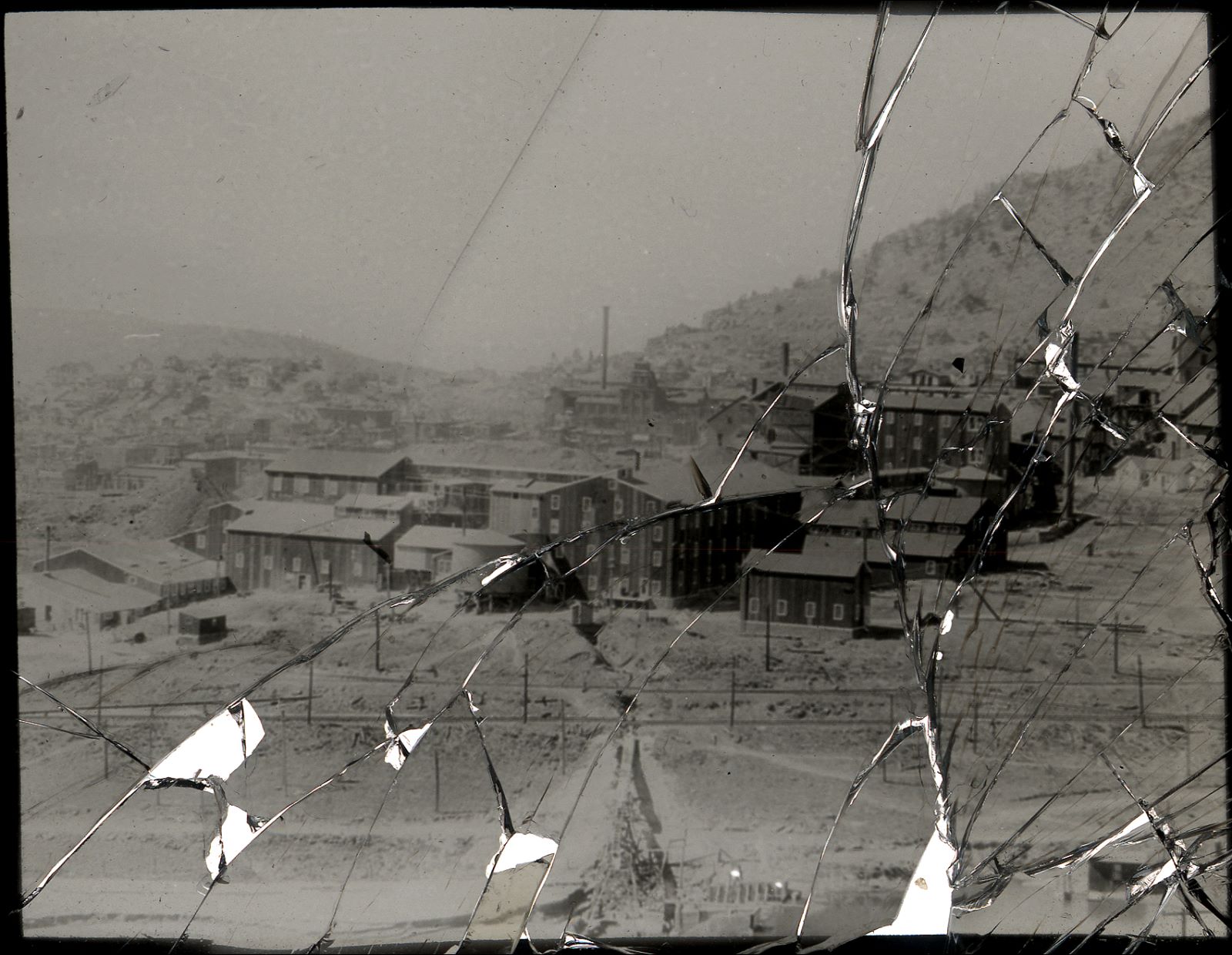
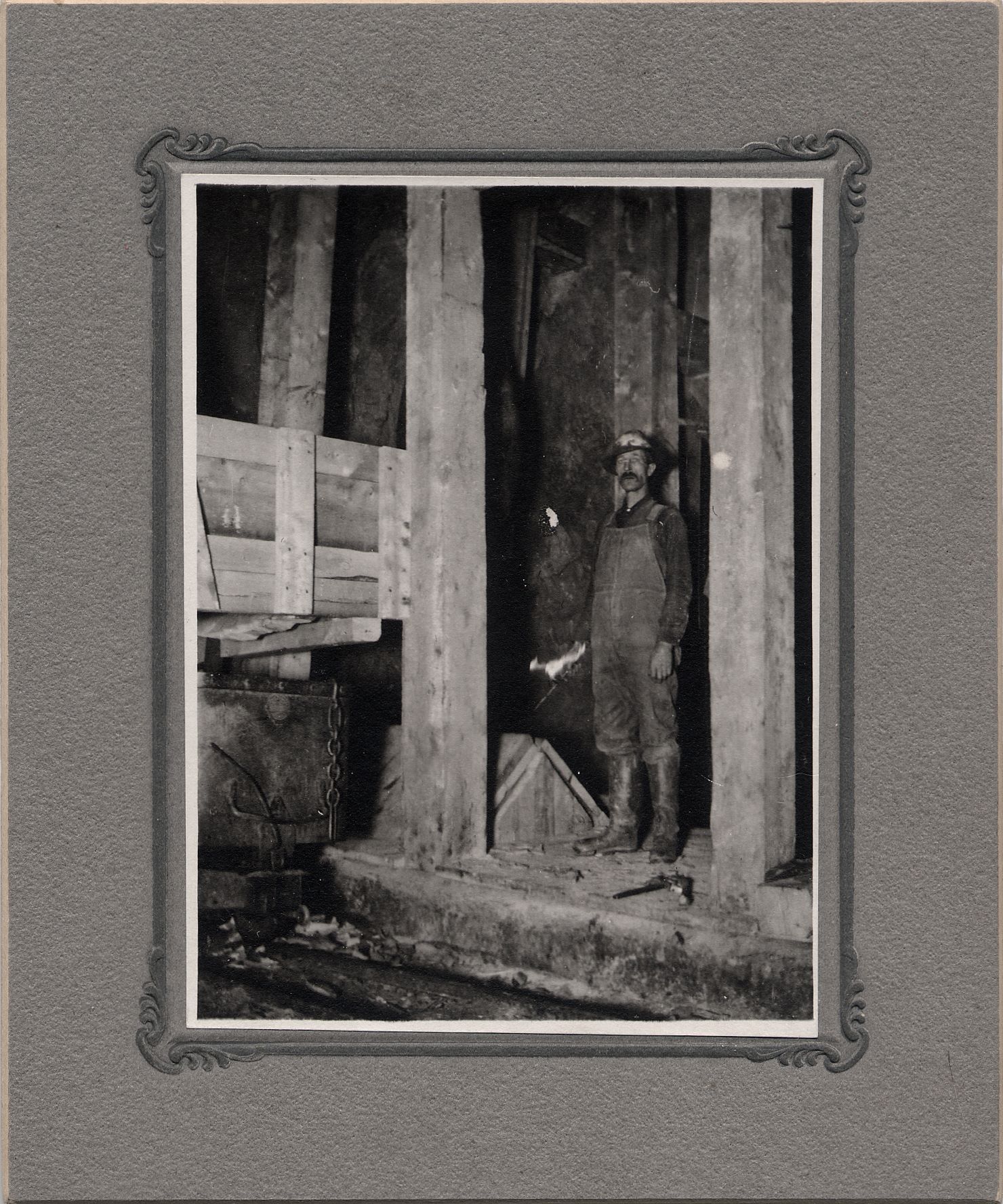
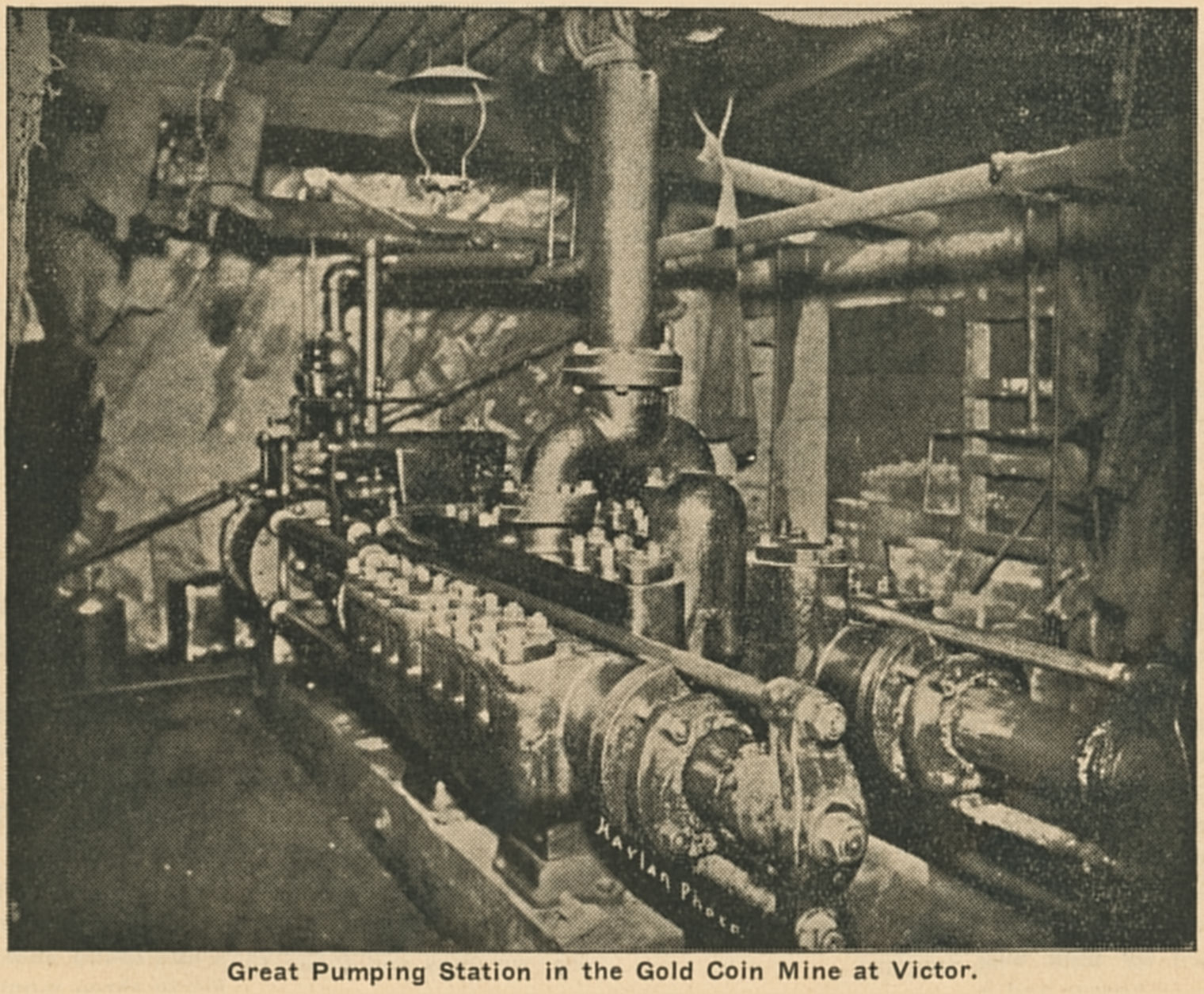


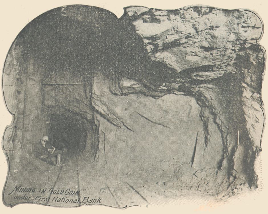


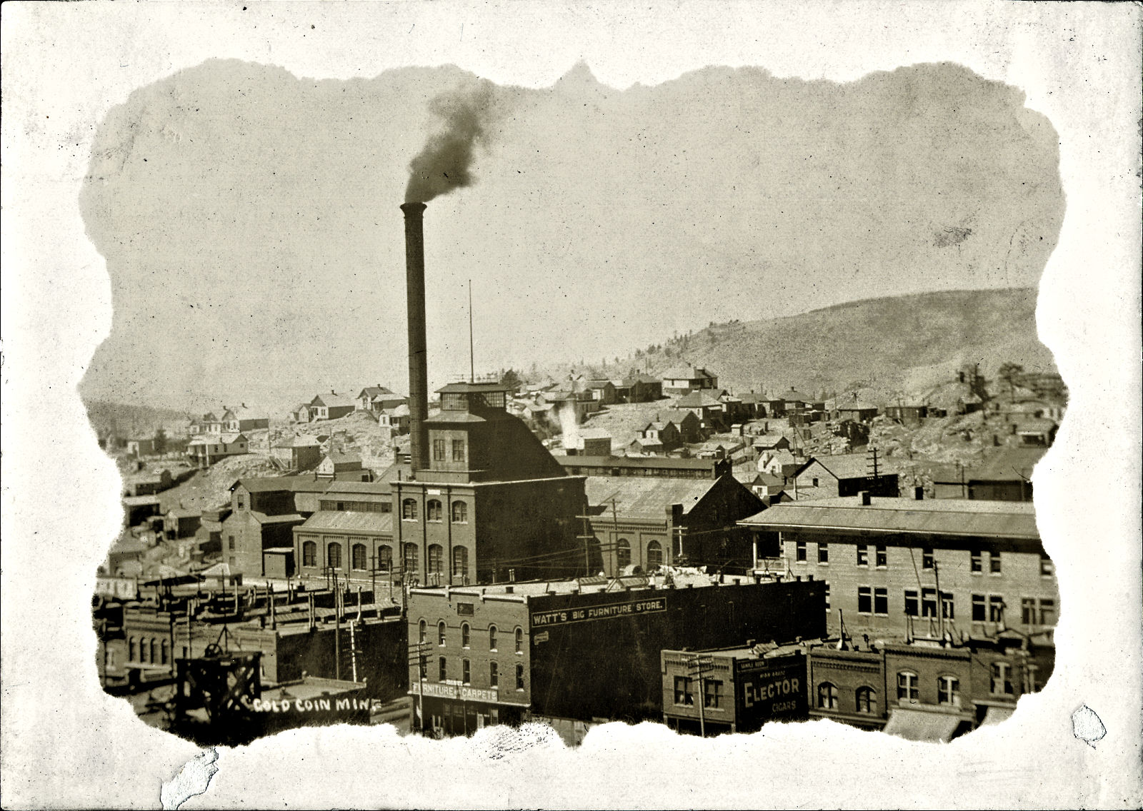
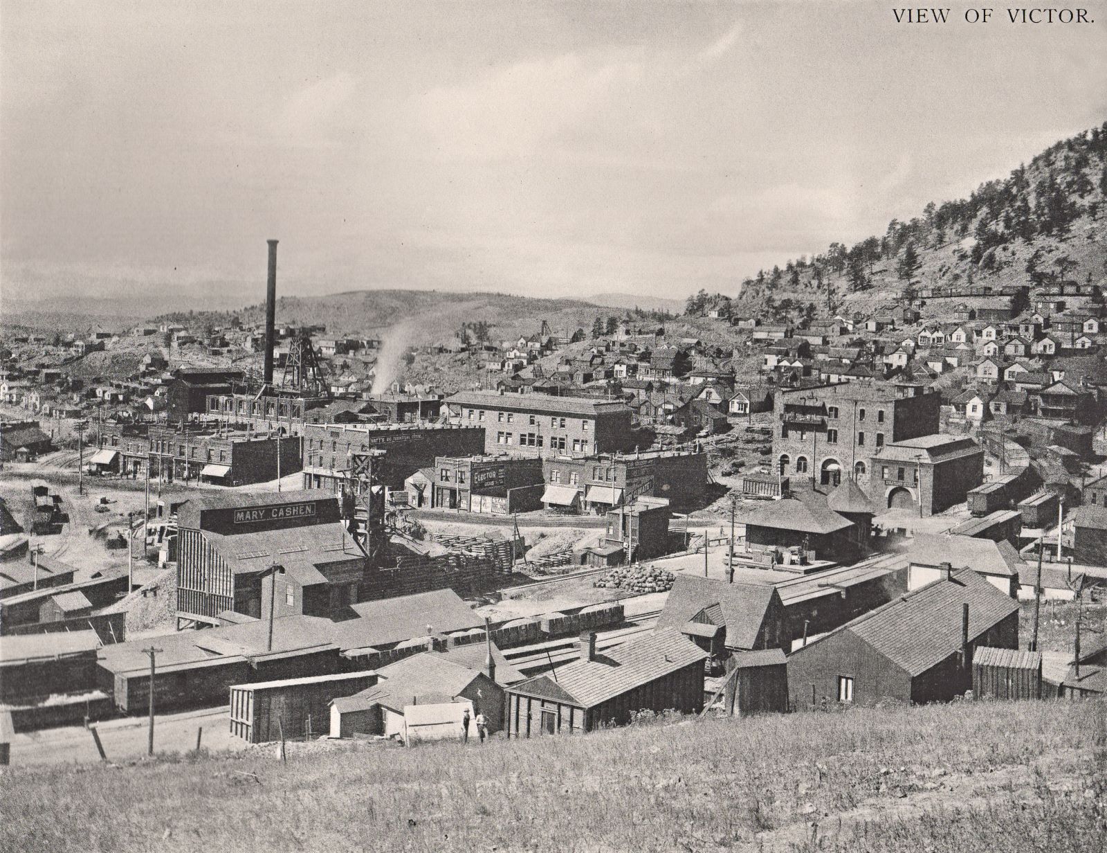
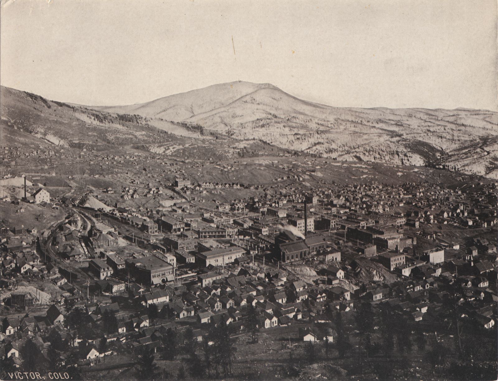
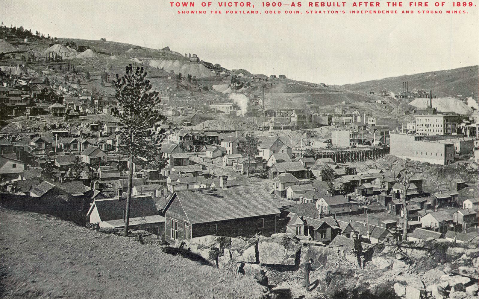
![click to enlarge This is a photoprint version of a glass negative that I also have, it is a shot of Victor from the area on Battle Mountain closing in on Squaw Mountain. There is an unknown mine to me at the time of this writing [18.02.2017] in the foreground center bottom, then the Midland Terminal main track comes on a filling crossing over from the Battle Mtn. to the Squaw Mtn. hill side.
Further downhill, about 1/3 in from left-hand side, and about same from bottom, one see a crib-wall in a curve and this is where the original High Line entered Victor town, track is seen there as well. To go to this location, the trolley had to use a tunnel to cross the ground of the Dead Pine mine with its dump and a big crib wall - I have seen on a Sanborn map an indication of a tunnel there too, and for me, this picture helps now to show how it looked in that area.
One another thing I like with this photo is the fact that I can see Gold Coin under construction, I can see the Head Frame, the top of the brick structures is open, and only thing that is covered is the ore house.
Way down, in topology below the Gold Coin but in this image, about an inch above the Gold Coin, to the right of the smokestack, is the Shaft-house of the St. Patrick Mine visible as well.](/04library/images/mine/p-00622_victor-view-battle-mtn_w-gold-coin-construction_scrn.jpg)
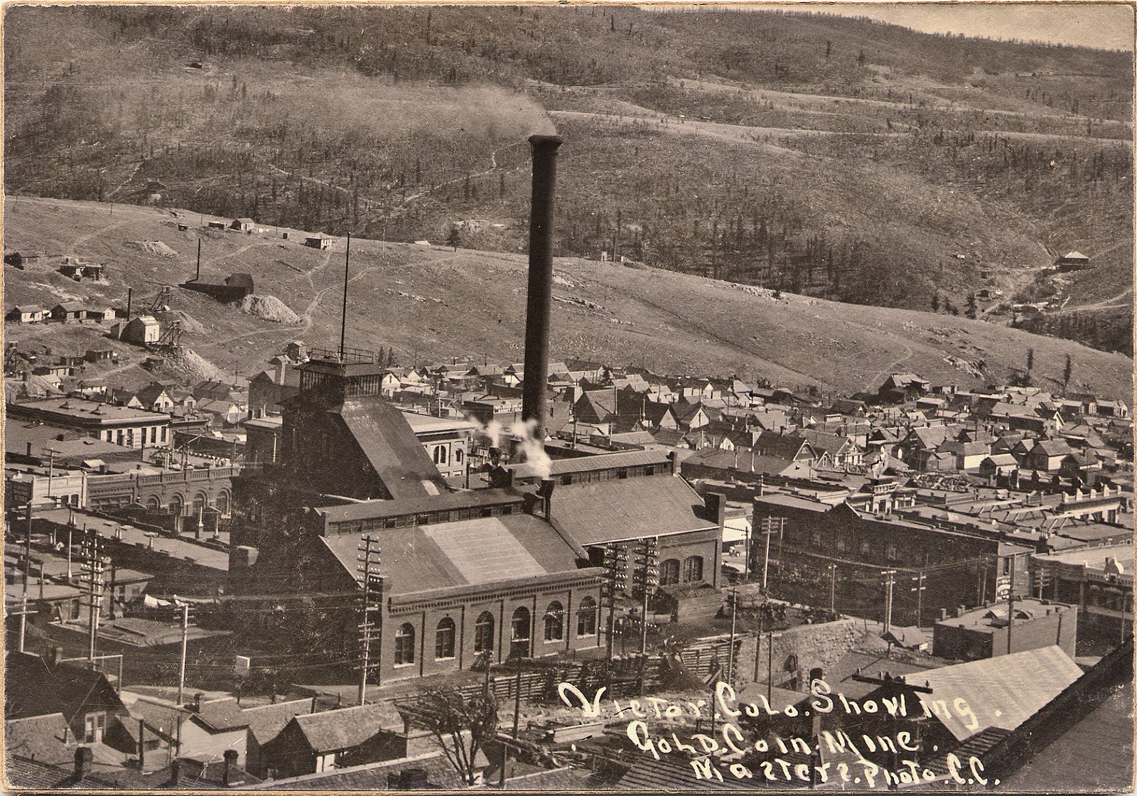
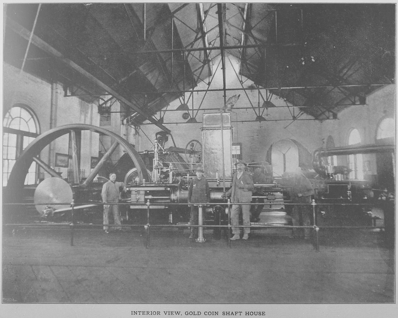
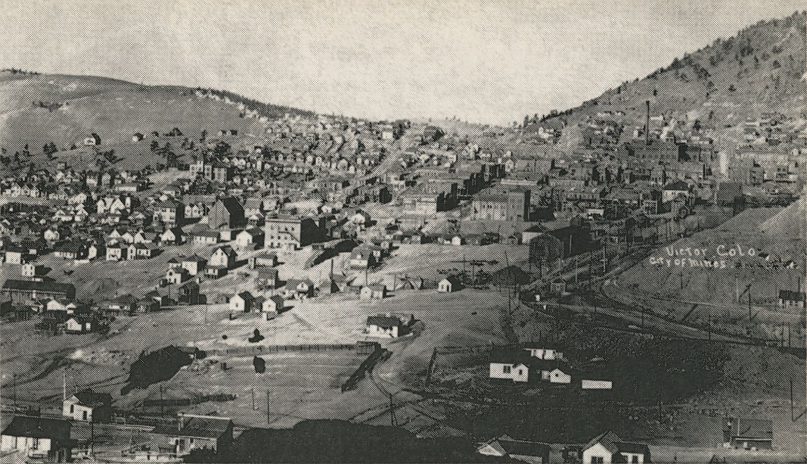
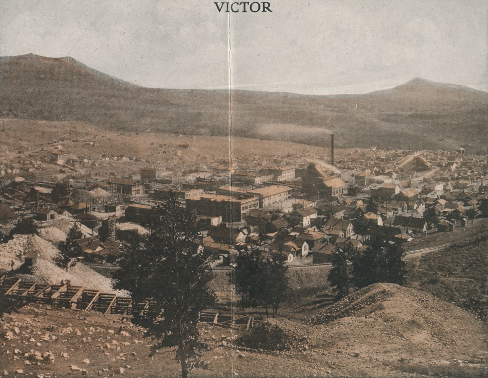
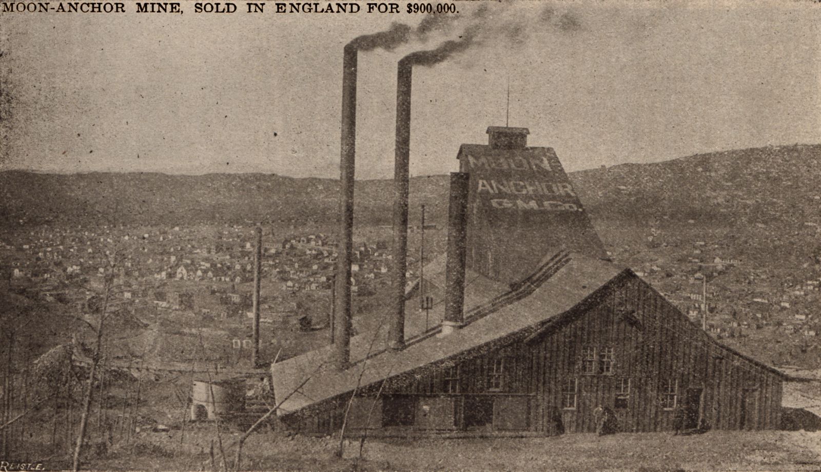
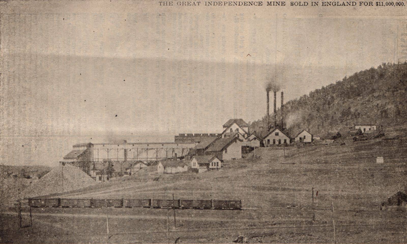


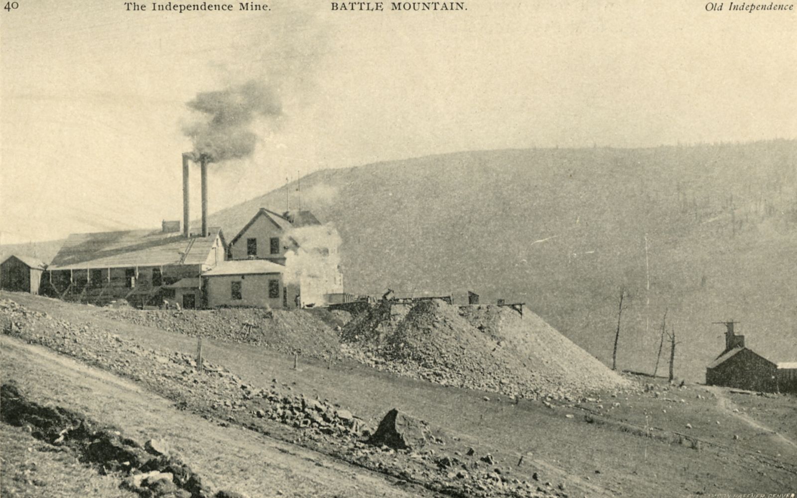
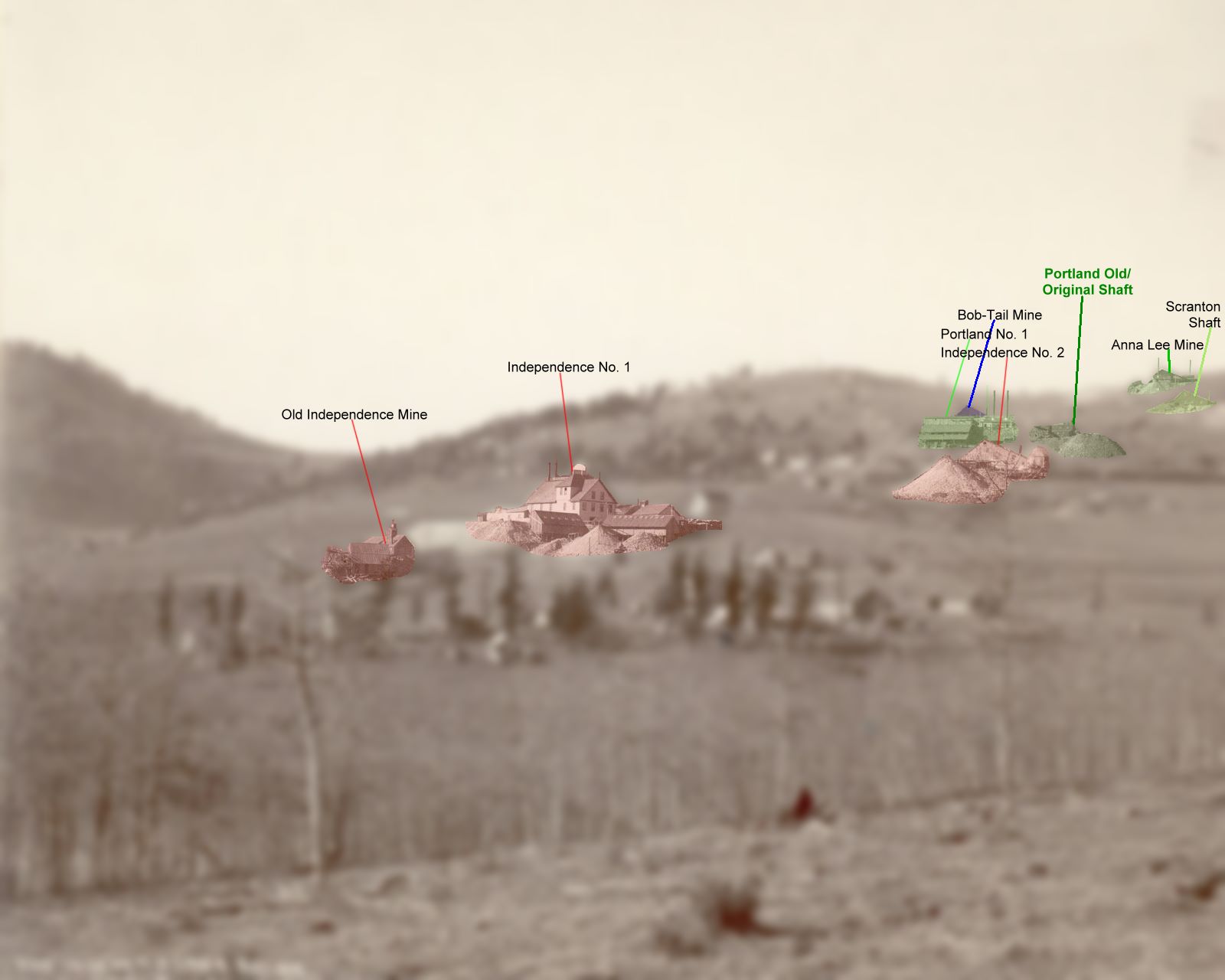

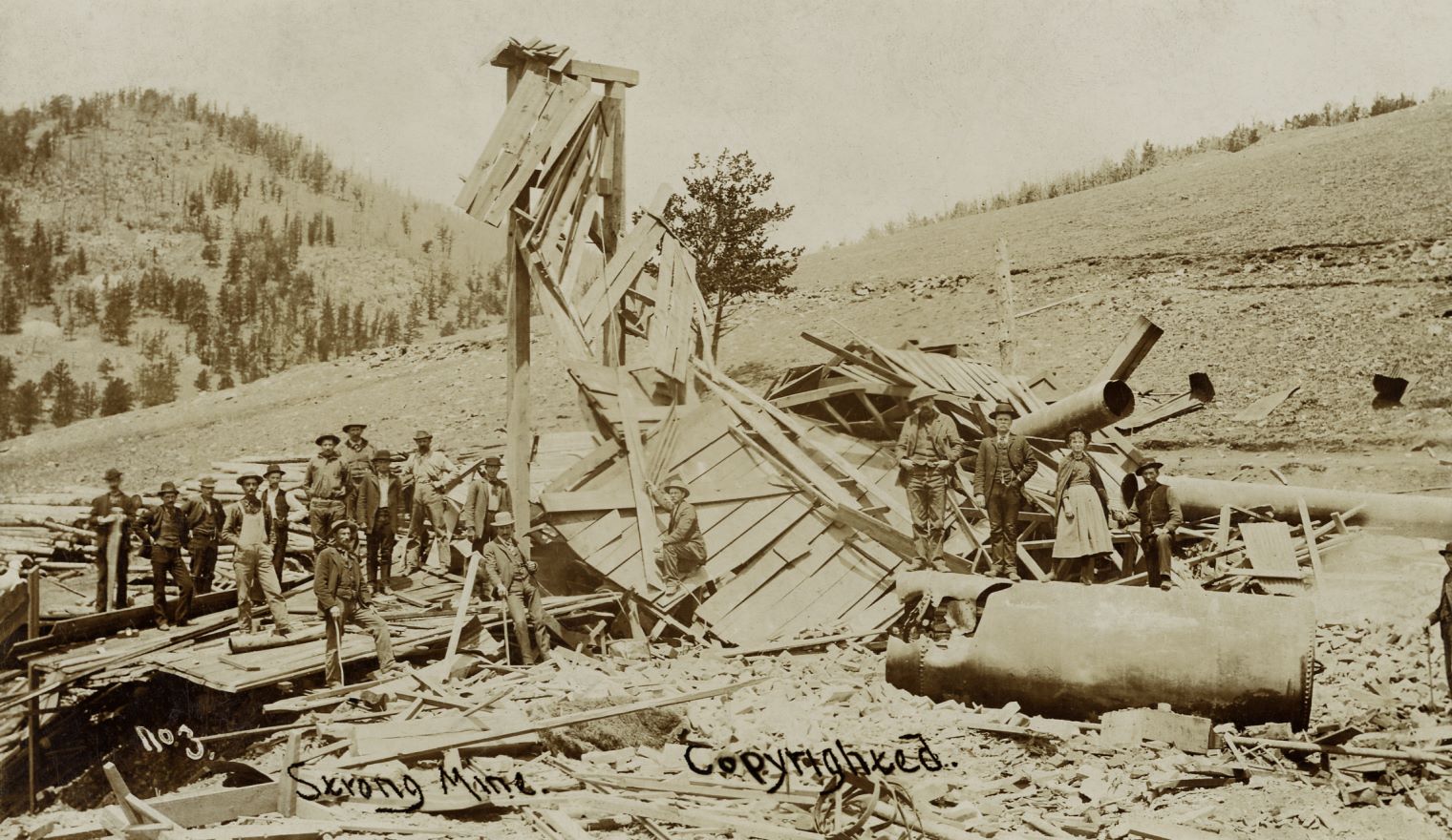

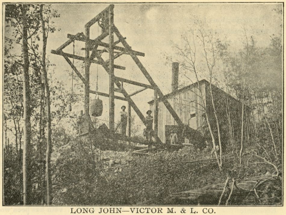

![click to enlarge A really bad view but the only I know of this mine [as per 12.01.2017]. There is a small head frame in lower left, with a few people posing near the hoist house. There is a smokestack on the building so I presume it was a coal fired hoist inside, and there seem to be a tank of some sort, most likely a water-tank on the back of the structure.](/01main/all_known_entities/00926/926_i-01165_p13-crpd_montrose-working-shaft.jpg)
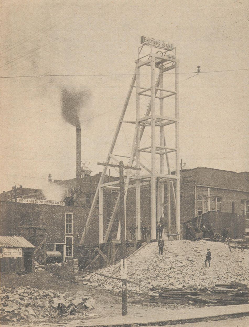
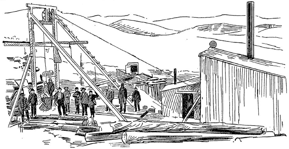
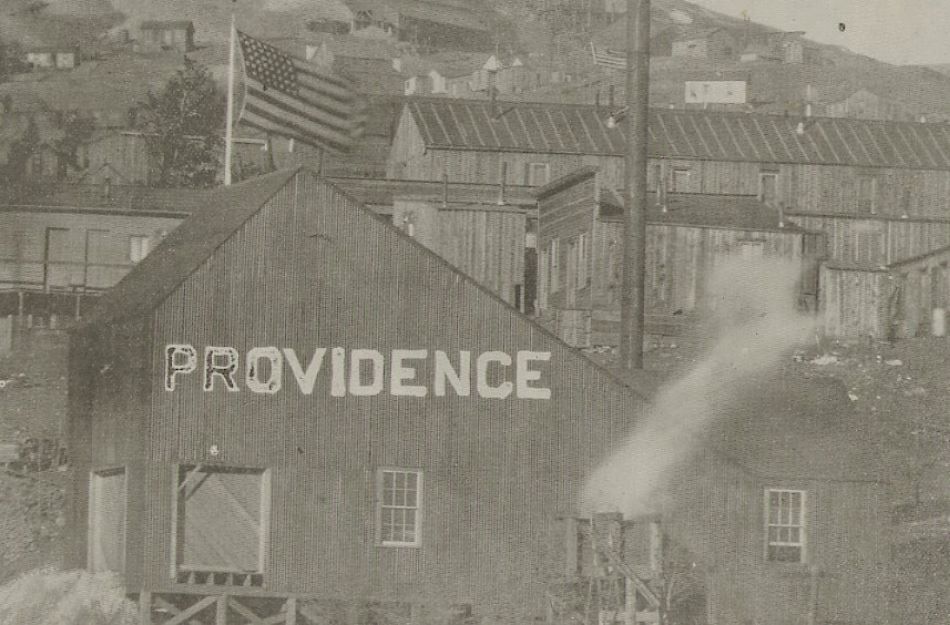


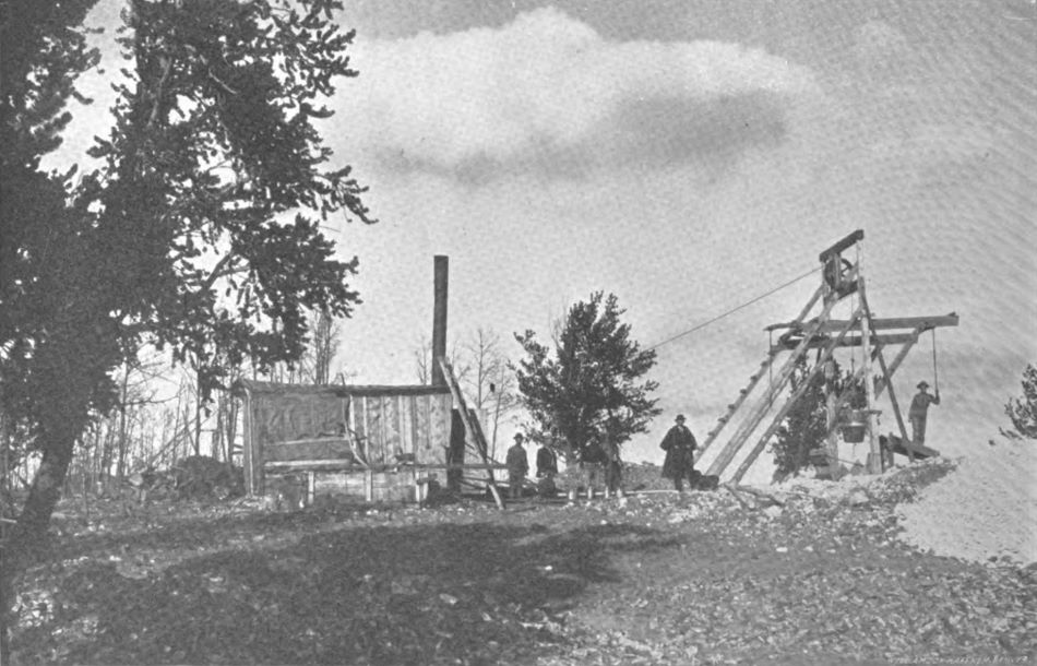
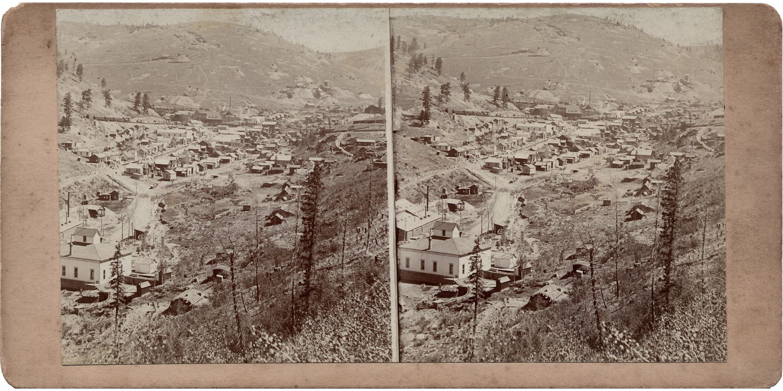
![click to enlarge This photo is taken in Squaw Gulch, a little below what was known as Barry in early days and later Anaconda. It shows in foreground left the Ore-house of the promising Blue Bell Mine with its adit/tunnel opening about middle of page and a group of miners posing around it. Slightly better quality on the low-resolution image on the Cripple Creek Museum webpage.
The location of this mine was just a few meters further up the gulch from the Sylvanite [aka Hartzell] mill.](/01main/all_known_entities/00337/337_i-00223_blue-bell_artsy.jpg)
![click to enlarge While not the greatest quality it is still a nice show of the mining operations in this part of the District, upper Squaw Gulch, or Anaconda Gulch as I've also seen it called.
* In lower left front is a mine often known as the Peggy Mine, with lot of trestle work, large head frame and ore-house. Belonging in 1904/1905 to the Peggy G. M. Company.
* Just above the Peggy is the mining operation of Colorado Boss No. 3 - I think – could be on the Mary McKinney claim, hard to tell. The source text to this image said this is the Sharp lease on the Colorado Boss of the Cripple Creek Consolidated, but claim maps are hard to decode as there is so much overlap.
* All the way to the right-hand side of this view is the Morning Glory No. 4 mine operations. Belonging to the Work company.
Behind the former mention mines is the roadbed of the Low Line electric, also used by Short Line steam trains to serve mines along the line. It curves alongside Gold Hill, and that leads us to the left-hand side of the view, the upper left third part where one see a large fill on the Low Line with part of the spur up the Index mine cutting into the hill – the mine itself is out of view to the left.
There are several mines in this area as well, the top of the ridge hints of some, but the quality is too bad to say anything about them.
Two dumps are seen between the ridge-line and the Low Line roadbed, the left most is the small operation of the Union Bell mine, while the more hidden part near middle of view top, I really do not know at this time of writing [11.01.2017].](/04library/images/mining_magazine/1905-05-v11_p422_fig03.jpg)
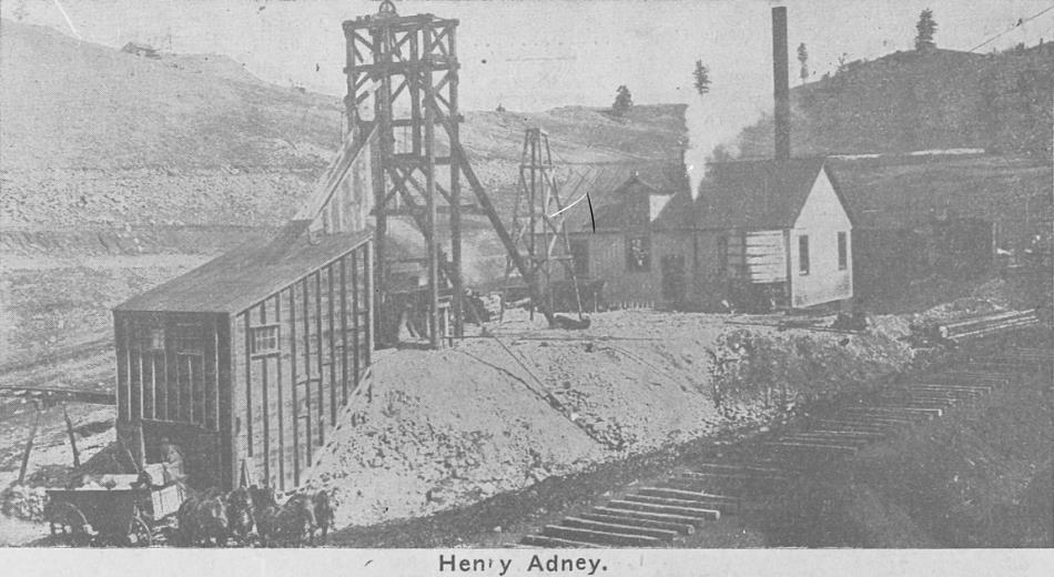

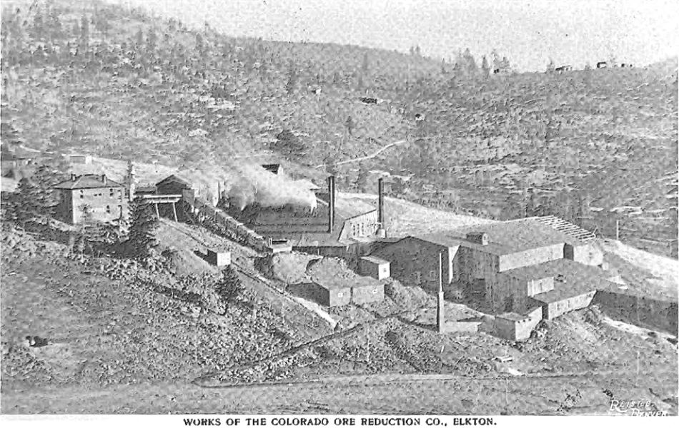
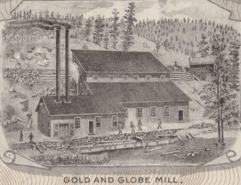


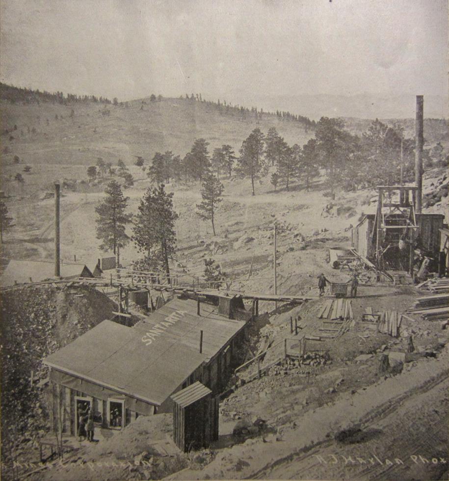
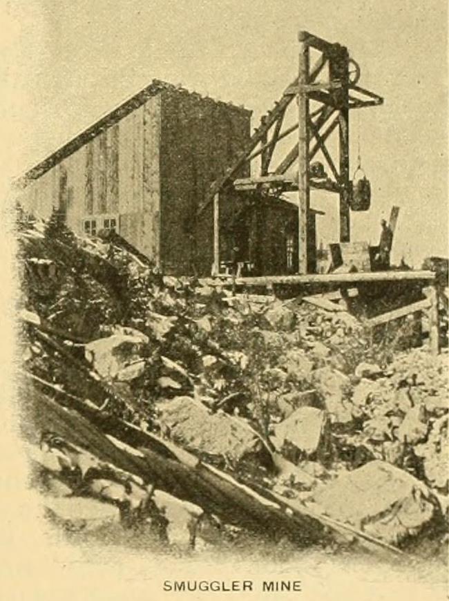
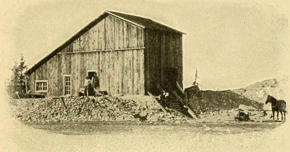
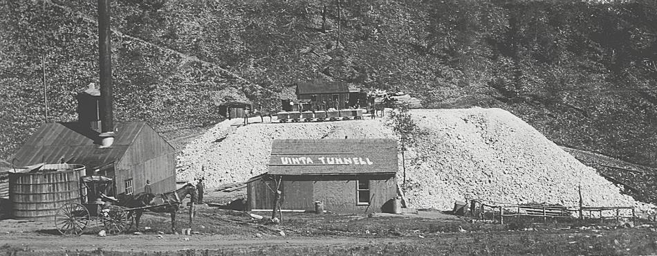


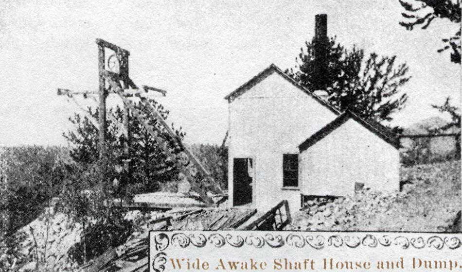
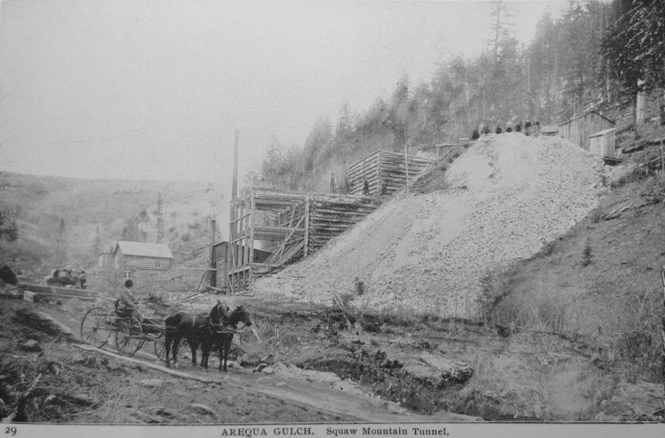
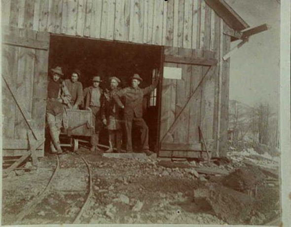
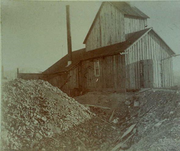
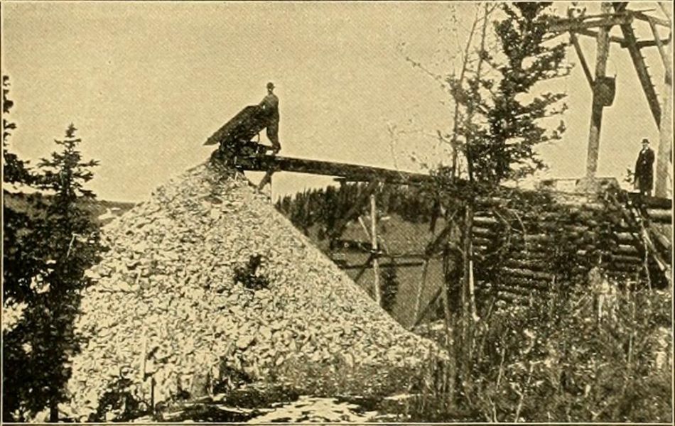
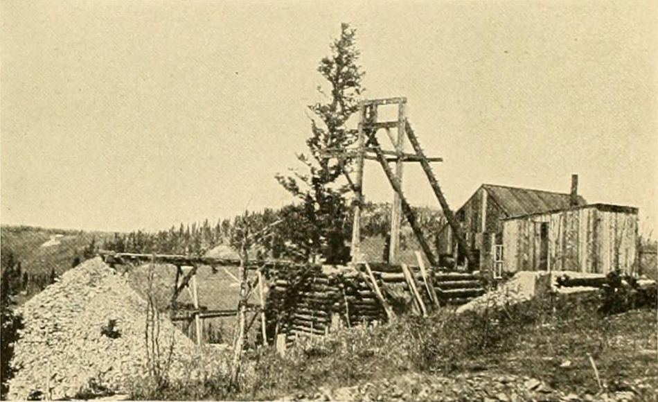
_enhanced.jpg)
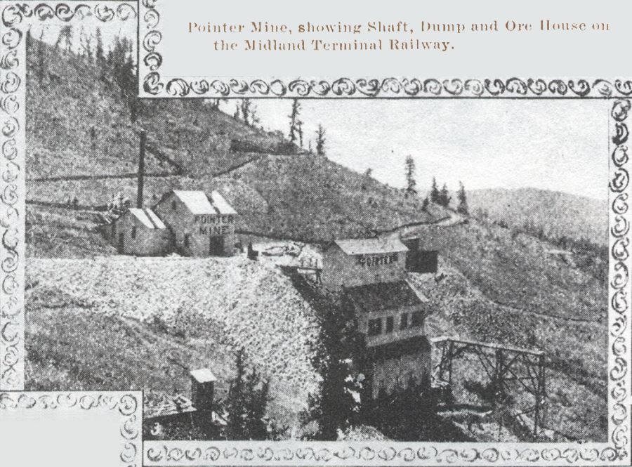
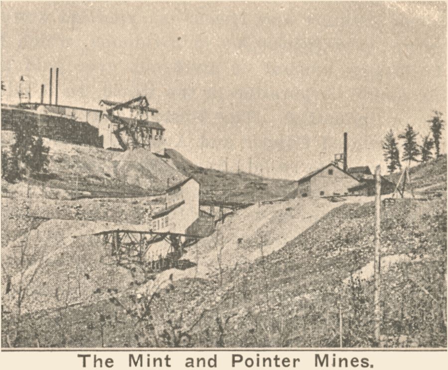
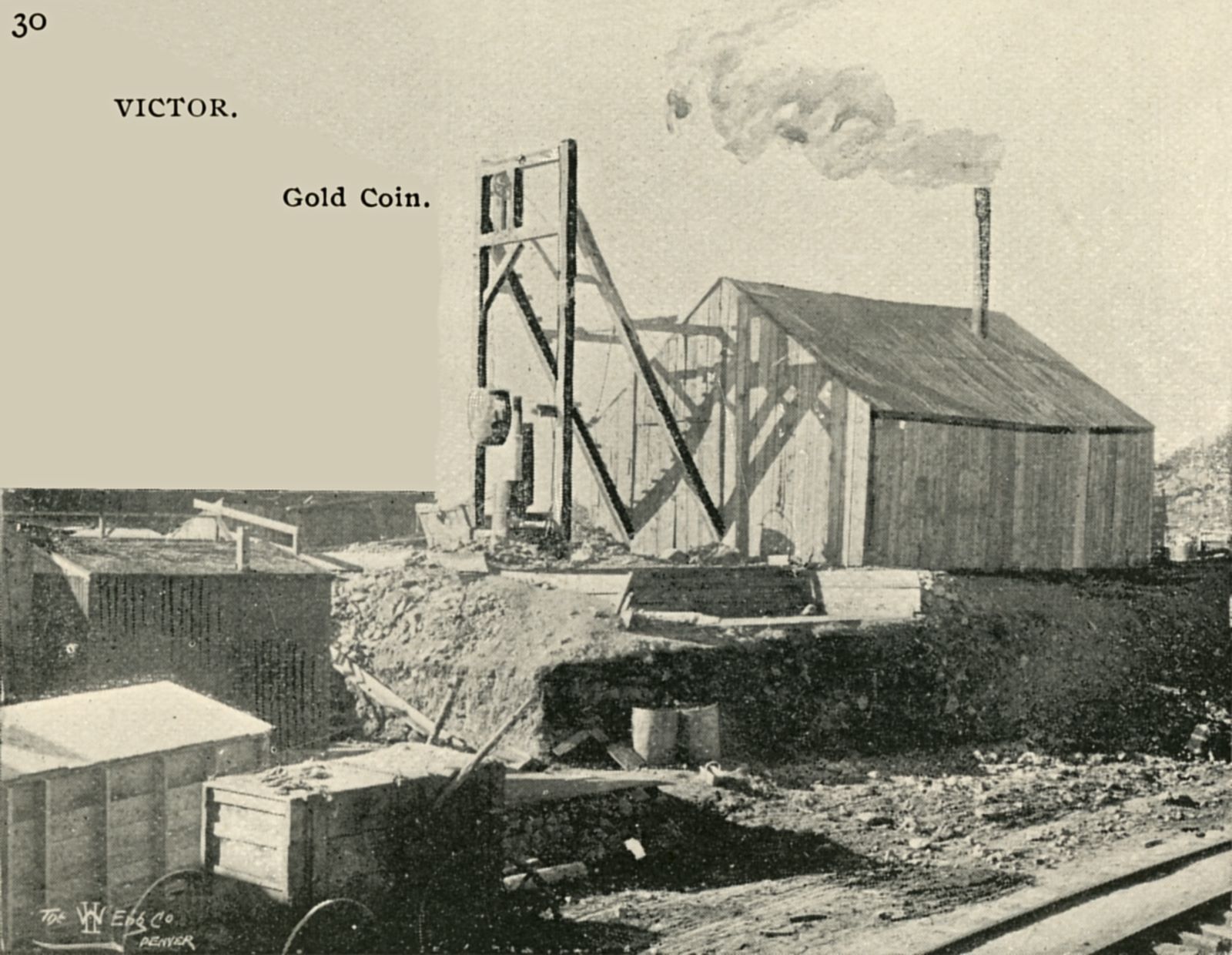
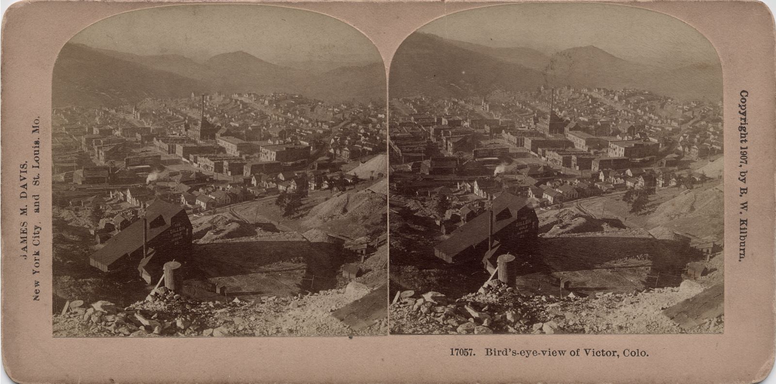
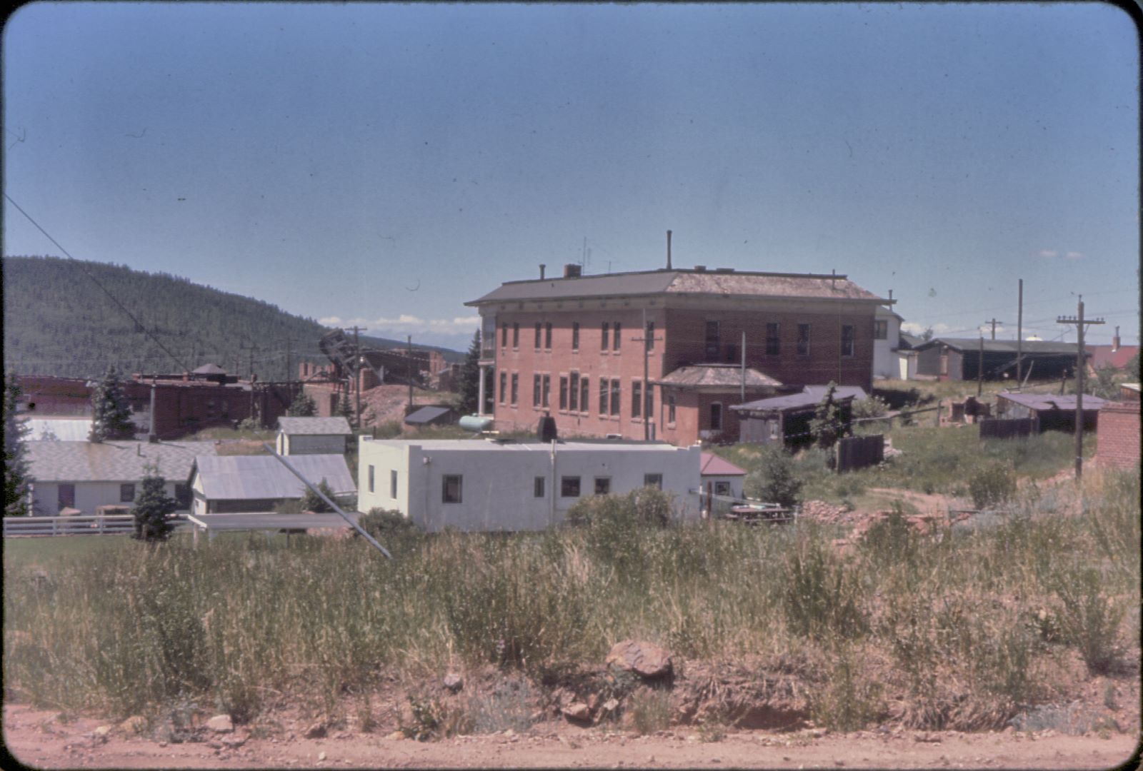

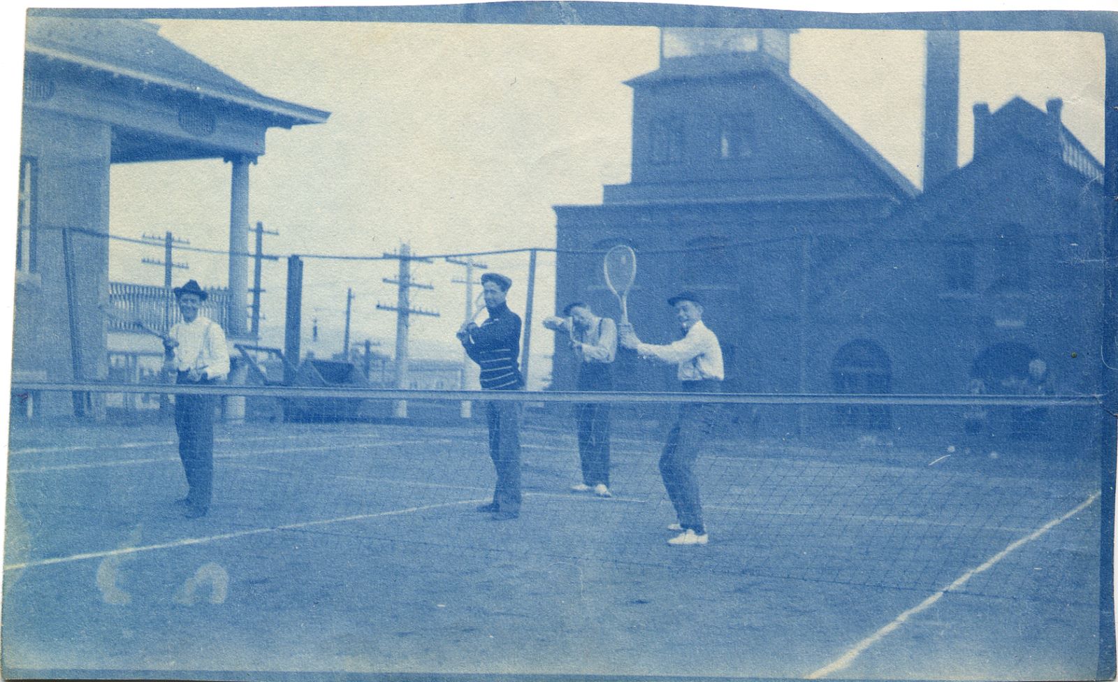
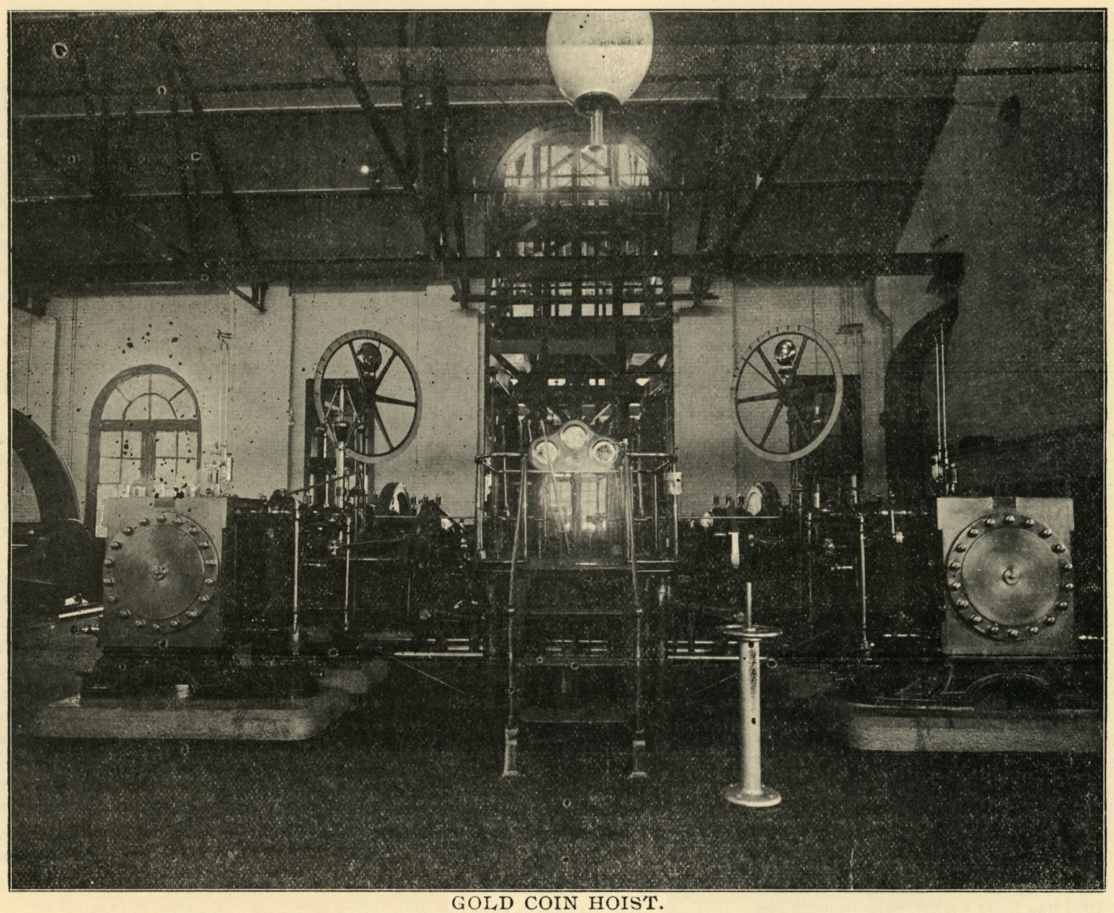
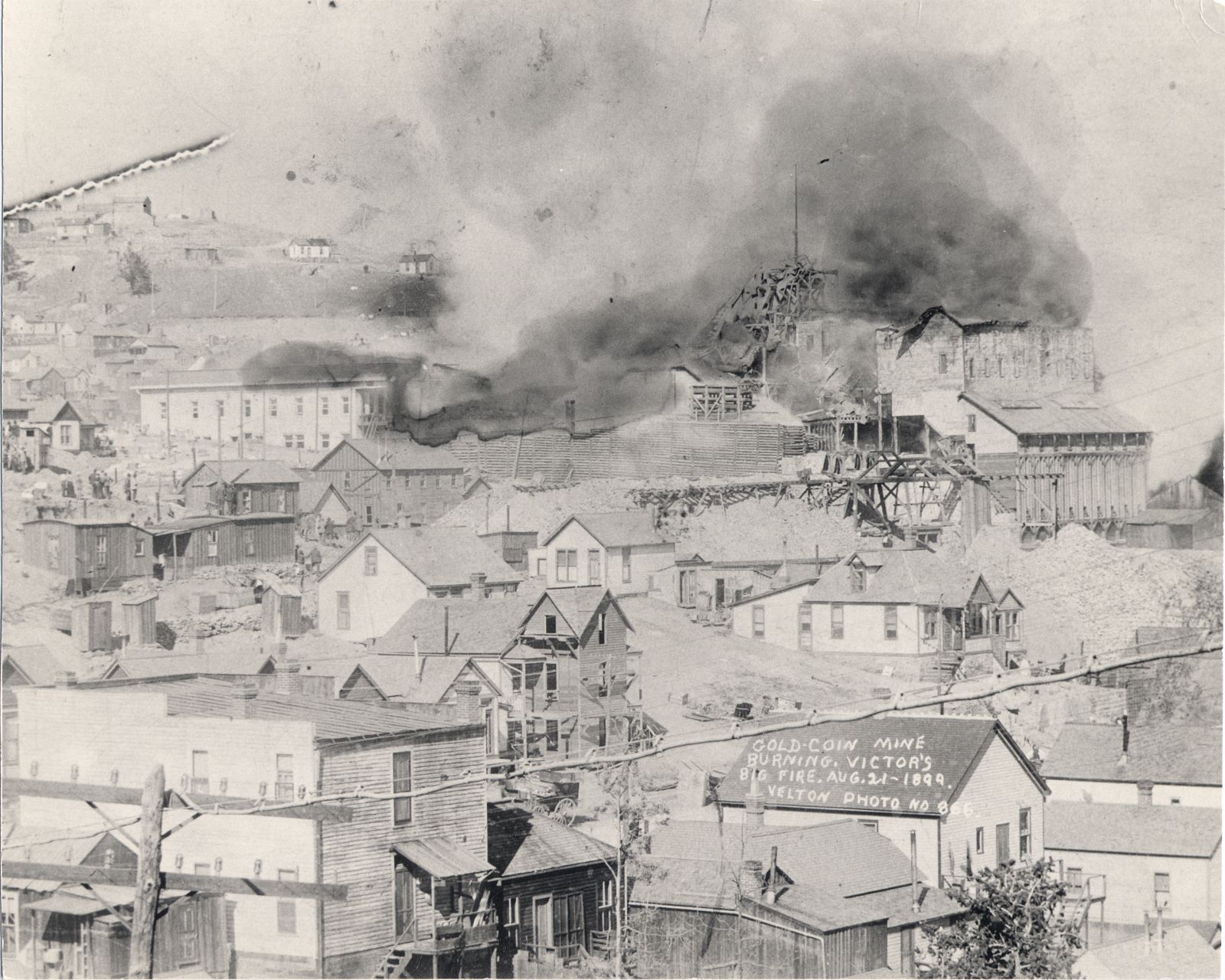

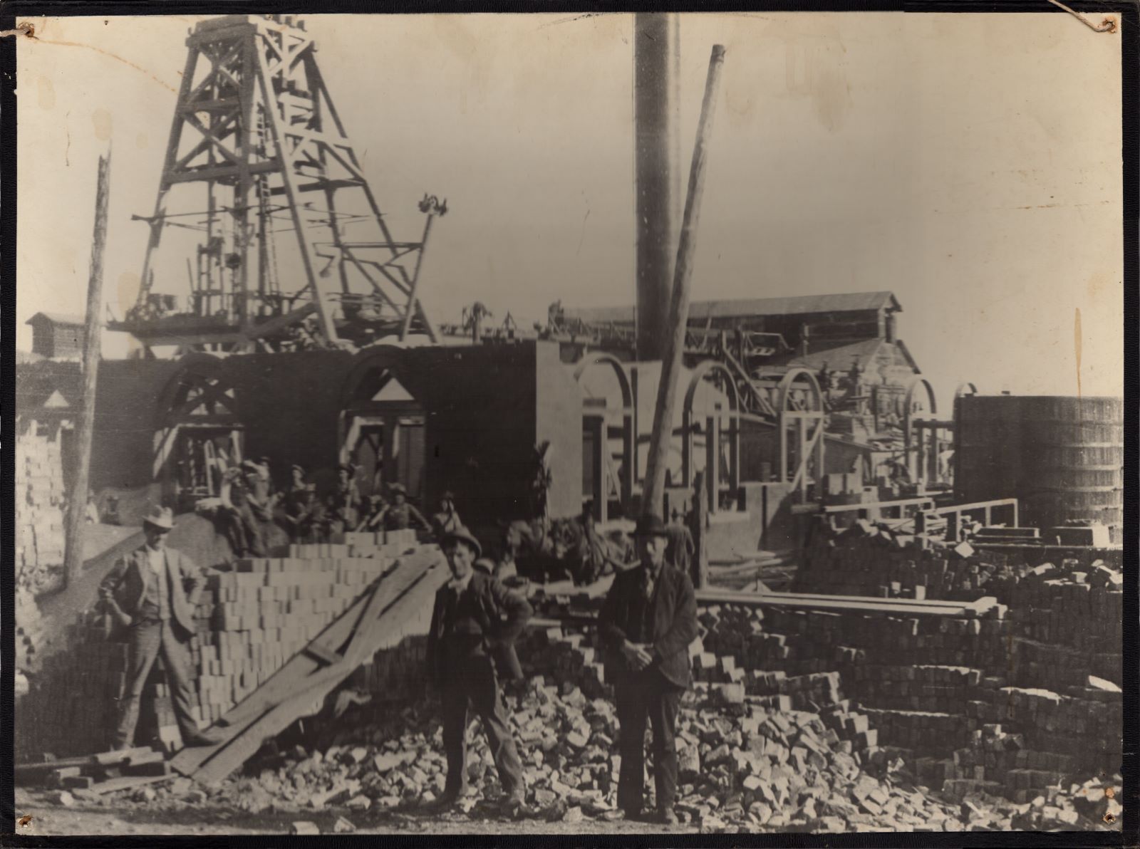

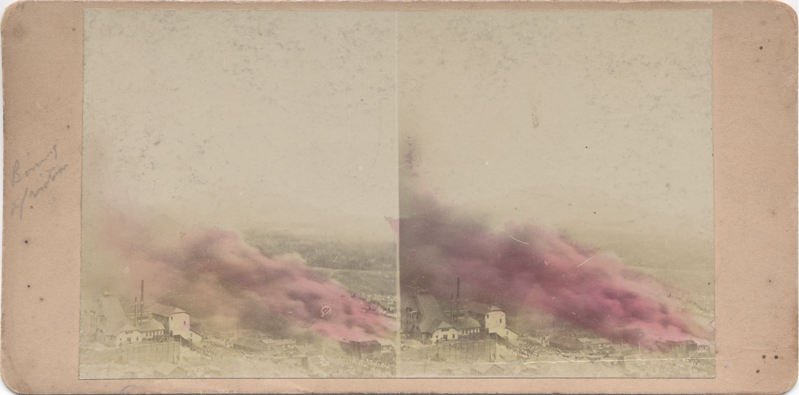
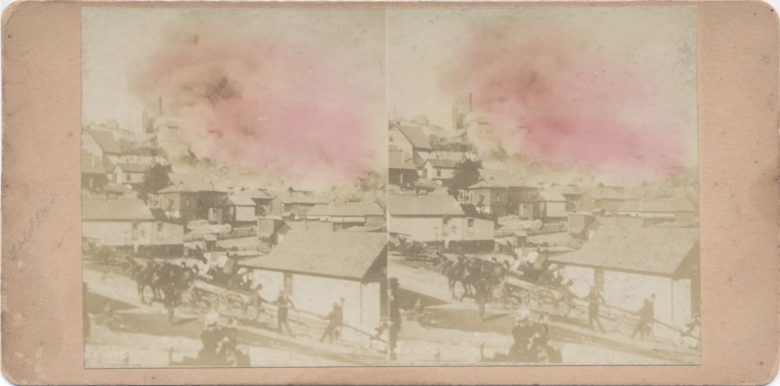
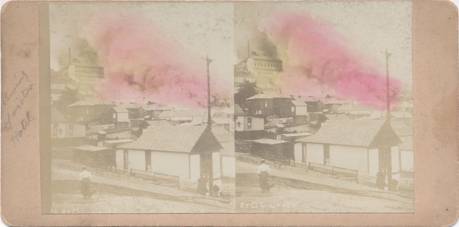
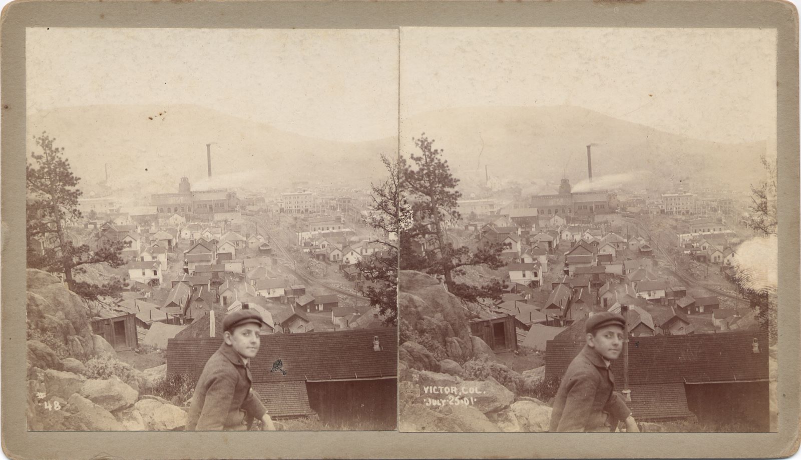
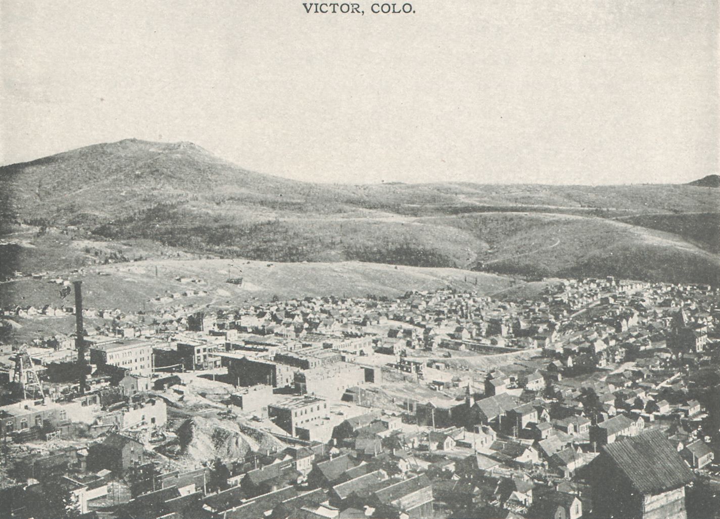
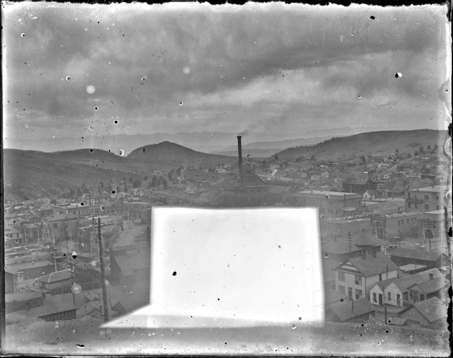
![click to enlarge Sadly, this is a really bad quality glass plate negative, lots of damages to it, no idea if it would be possible to clean up or not, looks like there are some sort of fixed dust to it, maybe the right type of cleaning would do wonders? But I have not the correct training or idea how to proceed so I just scanned it and put it aside, feeling sorry it was so bad after being stored away a hundred and so years. Sad really, as this would otherwise have been an excellent view towards the Gold Coin Mine from the east, before the fire that burned it and much of Victor down.
The head frame in foreground right, I am not sure about, it might be an early prospect shaft of the Mary Cashen, or possible some other mine in this area, so for the time being [19.02.2017] I just assume it to be part of the Mary Cashen.
The railroad seen is the Florence & Cripple Creek with its depot like it was before that to burned in 1899.](/04library/images/mine/g-00019-crpd_gold-coin,victor_w-fcc-in-foreground-enhanced-strght.jpg)

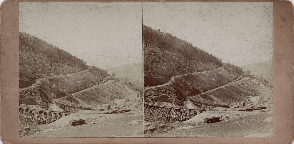
![click to enlarge Here is a view of the western side of the old Gold Coin Mine, the one that burned in 1899. The ore-house is marked as "The Gold Coin M. & L. Co.", and while the southernmost part of the ore-house is missing in the view, I still have a pretty nice look at the old wood built mine. This particular view came with a hefty price-tag but such is life.
There is also a hoist house and head frame in front of the Gold Coin crib-wall but I am not able to identify which mine at this point in time [21.02.2017]. Seen sort of as an extension to the shaft house of the Gold Coin in a line towards the photographer.
To the left of the Gold Coin mine is seen the smaller shaft house and structures of the Strong mine, appearing below the dump of the Independence mine which is seen at about middle top/down at the left-hand side.
Below the Independence, still on the left-hand side, there is another small mine operation of unknown mine to me, with a whitish house seen closer to the Independence, sticking out on the right side of the unknown small mine operation.
Near left-hand side, about 1/3 up from bottom, is the Victor Public Sampler structure seen, has a cupola on its roof, and smoke is coming out of a went near end of the roof at right.
In addition to all this, there are homes, houses, even a tent home built high up on some log walls seen in this view.](/04library/images/mine/s-00085_n27_group-of-mines-in-victor,colo_scrn.jpg)
